Get Lost Mountaineering
You are here: England » Pennine Way » 1. Edale Village to Hebden Bridge
2: Top Of Snake Pass to Crowden via Bleaklow Head & Pennine Way
2: Top Of Snake Pass to Crowden via Bleaklow Head & Pennine Way
Start/Finish
The top of the Snake Pass, the A57 between Sheffield and Glossop where there is usually plenty of verge parking if you need to leave a car. There is a small drop off the side of the road so drive slowly when parking.
Distance/Time
11 km. About 3 – 4 hours.
Peaks
Bleaklow Head, 633 m, SK 092 958.
OS Outdoor Leisure 1: Dark Peak. OS 1 Sheet 110: Sheffield & Huddersfield
Introduction
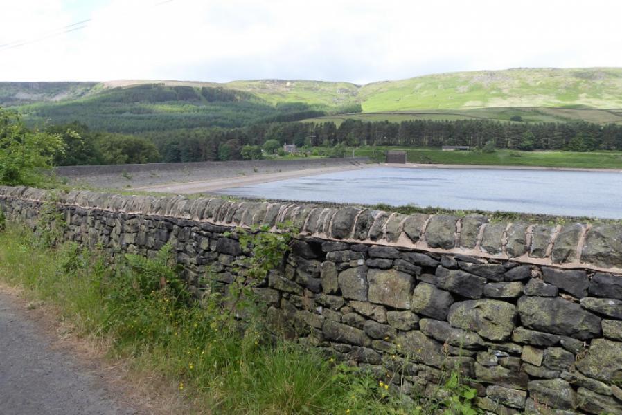
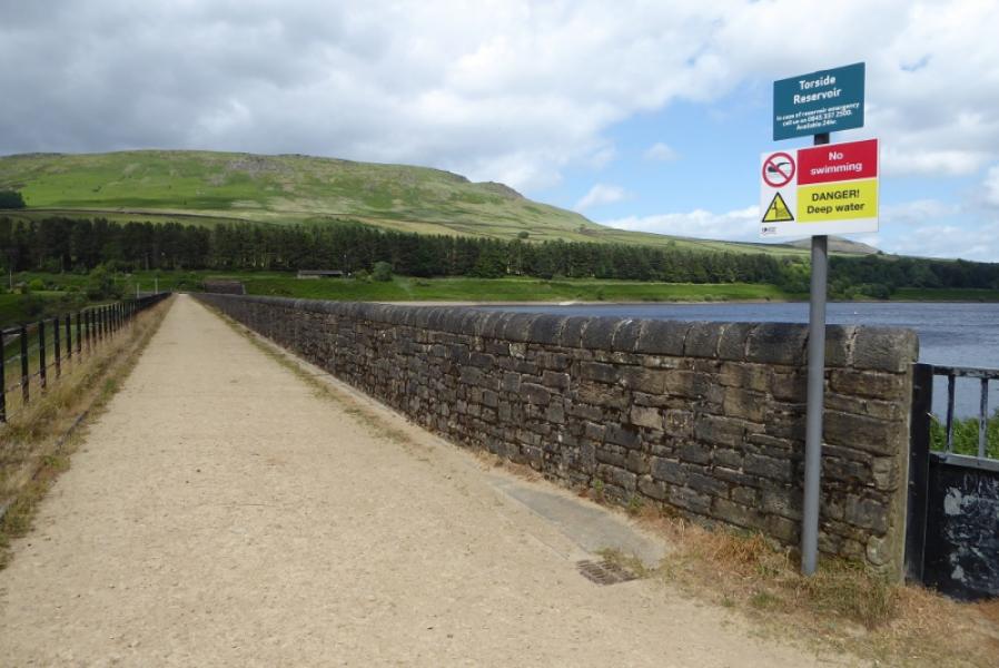
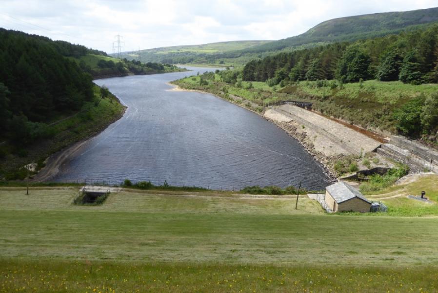
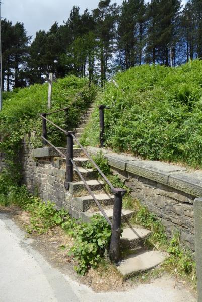
This section of the Pennine Way is relatively straightforward with little ascent needed from the top of the Snake Pass. On a clear day, there are good views back to Kinder and of Higher Shelf Stones – the obvious peak to the west of the first part of the route. This could easily be included and its ascent is described in the Peak District section. On the way to Bleaklow Head, the path follows a stream gully which can be quite boggy so gaiters are recommended. Navigation is easy to Bleaklow Head even in mist. After Bleaklow Head, care would be needed if snow has covered the path until the route goes west and eventaully starts to follow a stream towards Torside Clough. The main path in the clough is quite rough and stony but easy to follow. Crossing the Torside dam is pleasing on the eye and the old pine wood after is very pleasant to walk through. There is a Camping and Caravanning Club site at Crowden reached by staying on the minor road at the end of the route. There is a B and B on the Torside road to the west of where it is joined.
Route
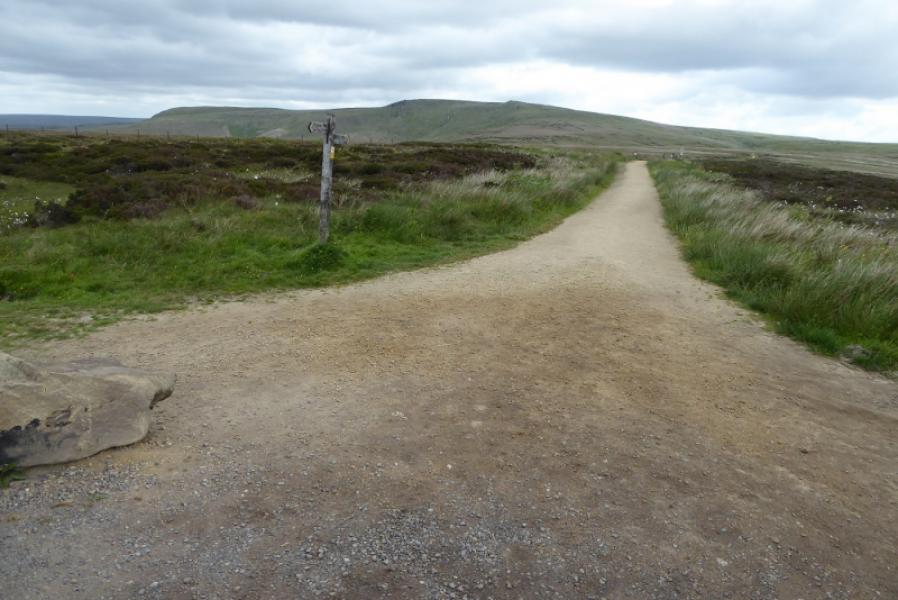
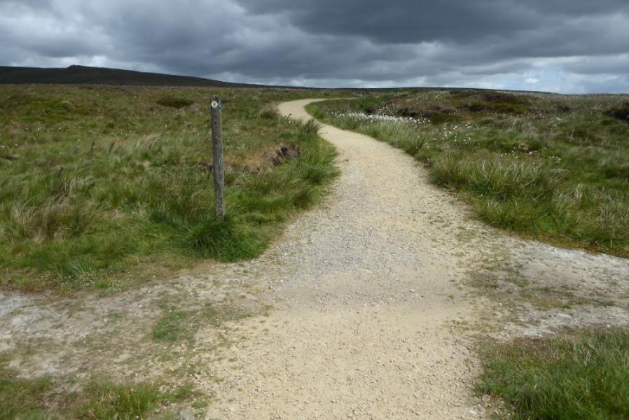
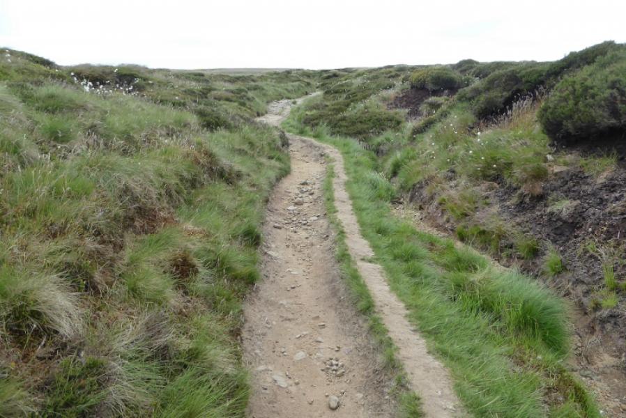
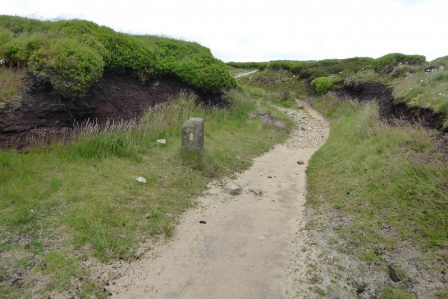
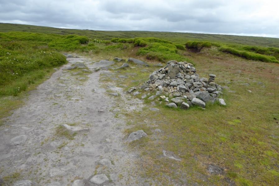
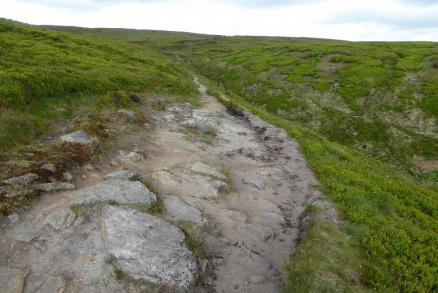
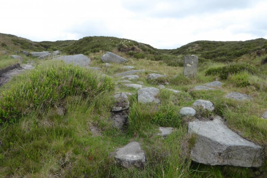
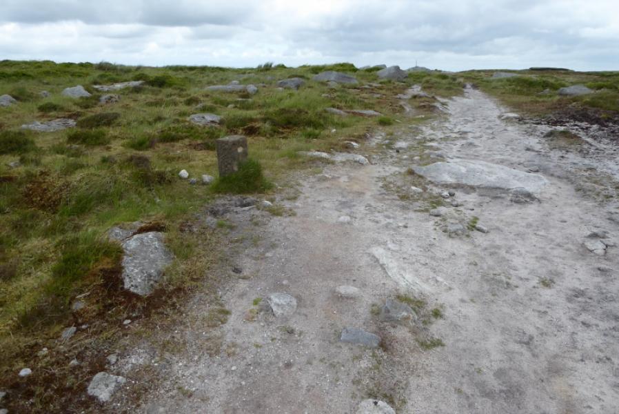
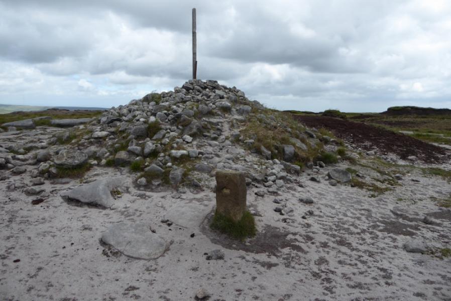
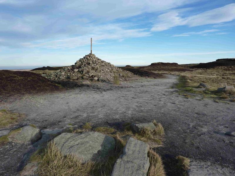
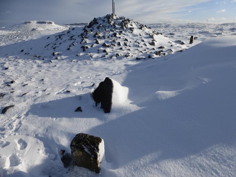
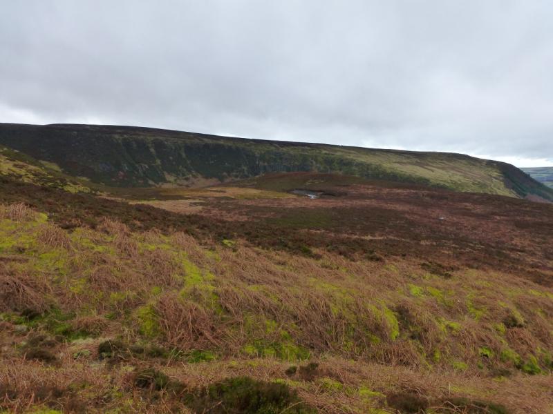
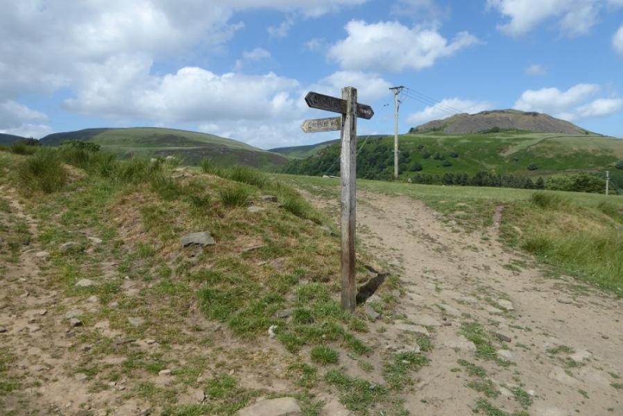
(1) Locate the Pennine Way sign pointing N at the Snake summit. Follow the obvious path to the signposted junction with the Doctor's Gate path. Continue ahead and soon reach a slabbed section. The route drifts out to the E before reaching the deep cut Hern Clough which is followed for a while. The path is obvious all the way even where it is boggy.In clear weather, the Hern Stones will be seen not long after Hern Clough. They are off to the left and are the only outcrop between Higher Shelf Stones and Bleaklow Head. Eventually the path levels off on the Bleaklow plateau a short distance before the large cairn which often has a stake sticking out of it. This is Bleaklow Head, 633 m. A stone marker post is at the cairn for those following the Pennine Way N down to Torside Clough but that is not part of this route.
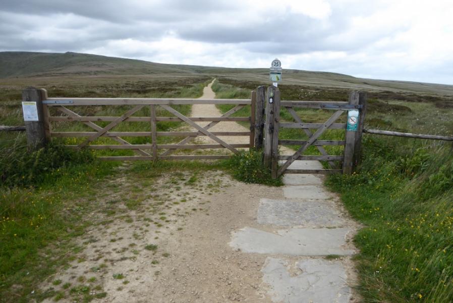
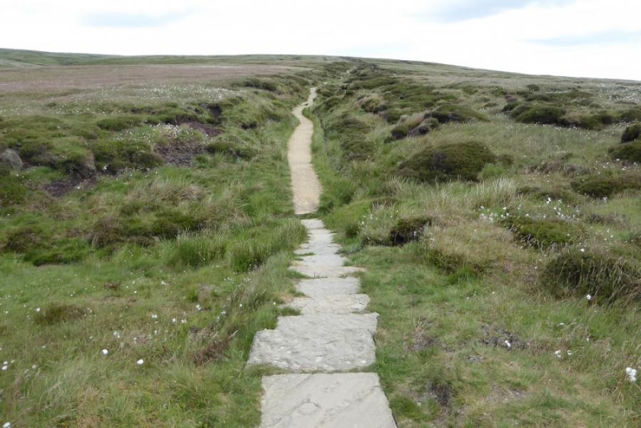
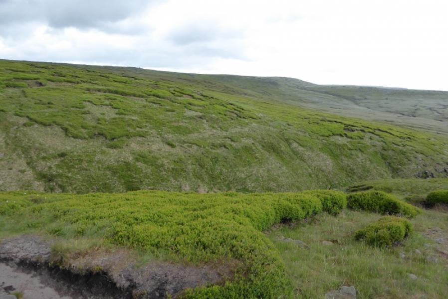
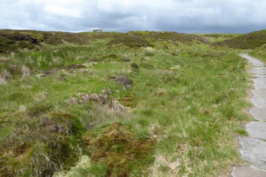
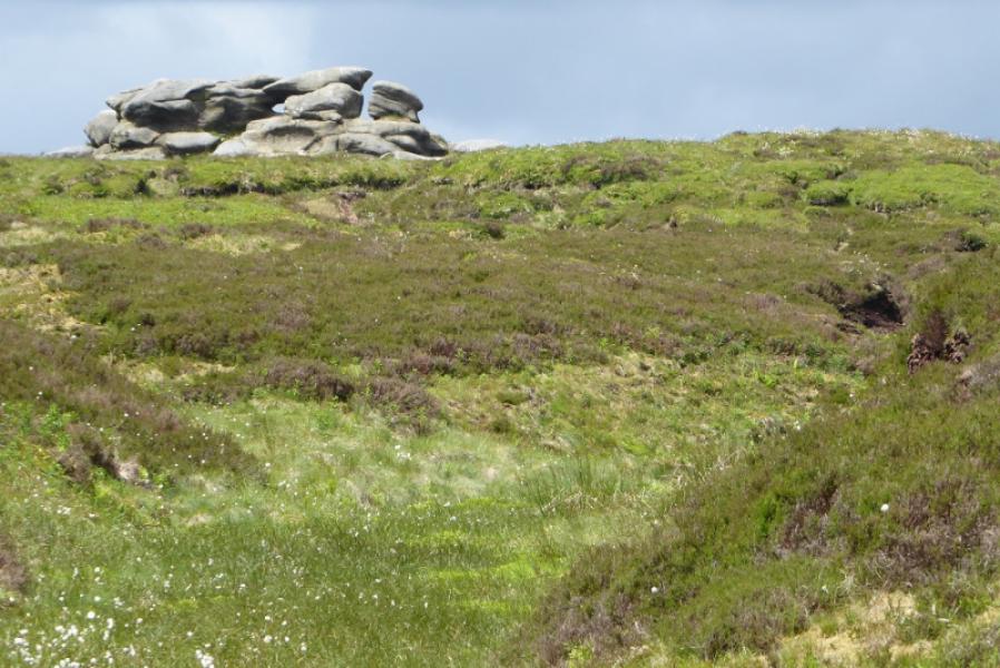
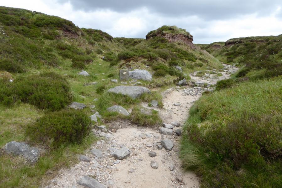
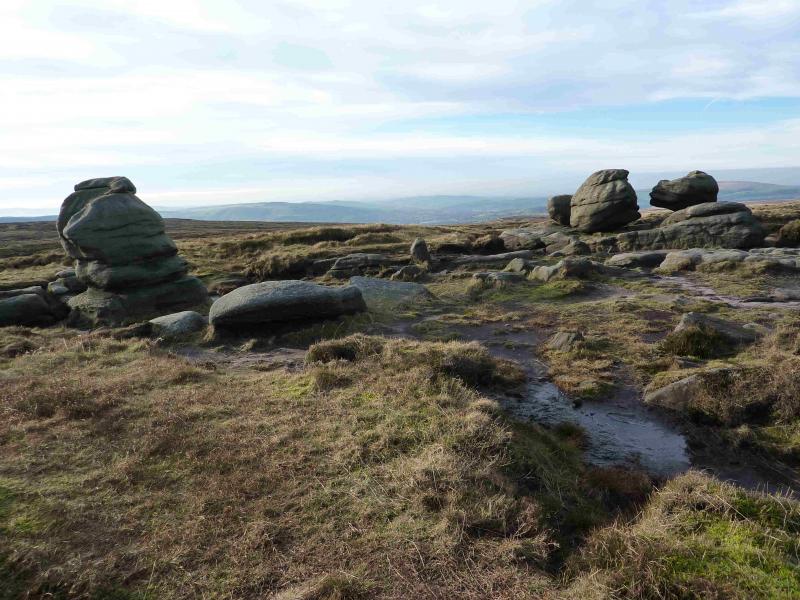
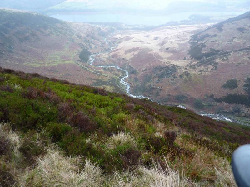
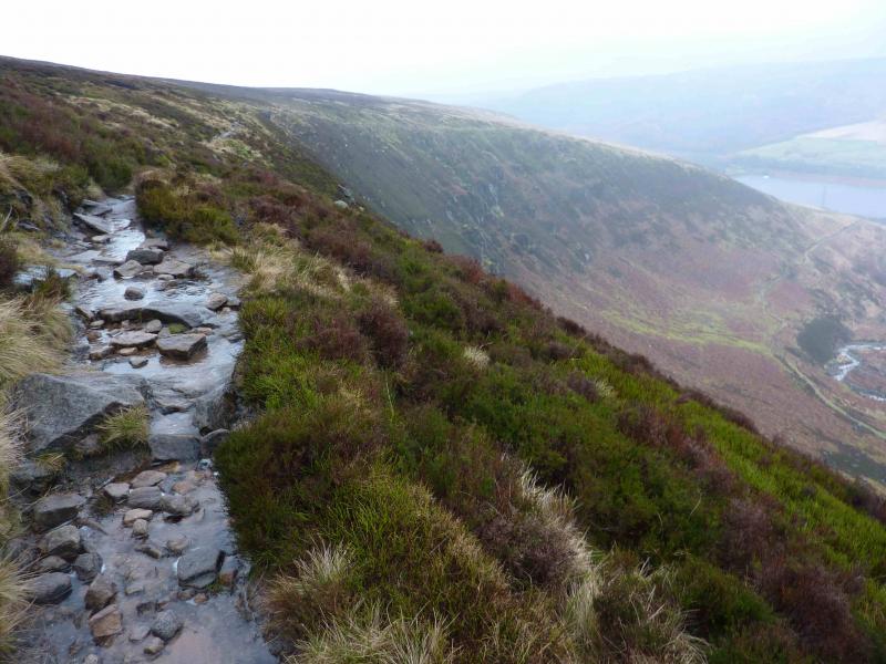
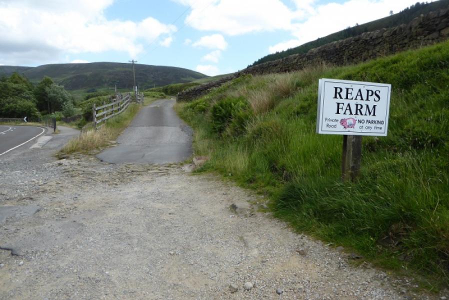
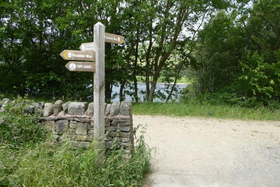
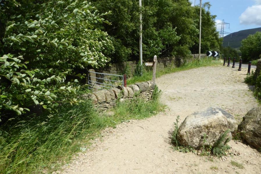
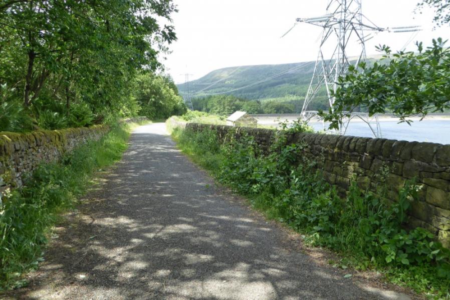
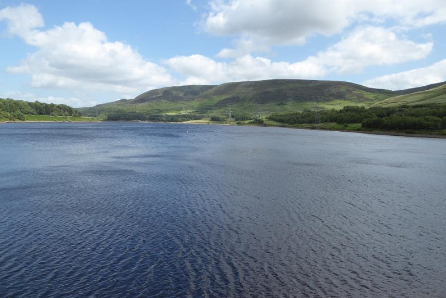
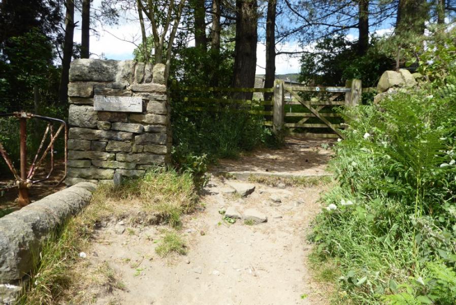
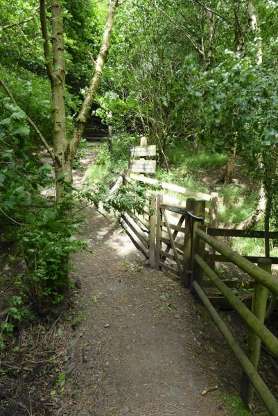
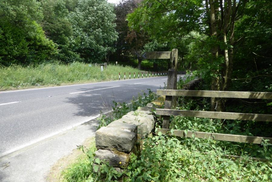
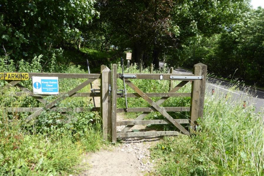
(2) A short diversion is recommended so walk roughly W for about 200 m, to find another, slightly smaller cairn, near to some distinctive boulders known as the Wain Stones. The two closest ones are also known as The Kissing Stones and from the right viewpoint (and a little imagination!) one can see why. Retrace to the summit then follow the direction indicated by the marker which is the Pennine Way. Unless under deep snow, this is a very obvious path. It goes roughly N then curves around to the W. It goes to, but does not cross the obvious fence. Before too long, a stream appears on the left and the path, slabbed in places, leads down to Torside Clough where its two main feeder streams meet. Cross over. After heavy rain, the streams may have to be crossed separately. Follow the path up on to the edge above the W side of Torside Clough. Pass a rock feature known as, and also labelled as, The Pulpit. Continue on the Pennine Way path which follows the undulating edge with a steep bank below. The path follows the edge of the clough all the way down to an access road near to Reaps Farm passing above some interesting rocky and vegetated ribs. Turn left on the road and follow it to reach the main Torside road at the entrance to the track to Reap's Farm. Cross the road and follow the Pennine Way signs to the track alongside Torside Reservoir. Cross the dam then ascend the steps to reach the path going through the narrow pinewood on the N side of the reservoir. Eventually, reach the main road, A628 Woodhead Pass. Cross over and follow the track which could be the old main road over its highest point then down to the signpost where the Pennine Way goes left, N, and Crowden is straight ahead.
Notes
(a) This is a composite walk put together from walks which took place on 14th June, 2018, and 5th February, 2014.
Photos - Hover over photo for caption. Click on to enlarge. Click on again to reduce.