Get Lost Mountaineering
You are here: England » Pennine Way » 1. Edale Village to Hebden Bridge
3: Crowden to Standedge Car Park via Black Hill & Pennine Way
3: Crowden to Standedge Car Park via Black Hill & Pennine Way
Start/Finish
Free public car park at the tiny hamlet of Crowden which is signposted, about 200 m before, on the W side of the A628 Woodhead Pass. Turn off on to a minor road then left down a curving slope into a medium sized car park. There are toilets close by. If the car park is full, one may have to park on the side of the minor road. Crowden is on the A628, Woodhead Pass road. This is the closest parking to where the Pennine Way goes north, towards Black Hill, to the west of Crowden. Note that there is no parking on the main road especially near to where the Pennine Way leaves it. The only sensible place to park is at Crowden. Sometimes, hill races start at Crowden. On such days, you would need to arrive before the runners to have any chance of parking as it gets quite chaotic. There is a Camping and Caravanning Club site in Crowden which is close to the Pennine Way.
Distance/Time
15 km. About 5 – 6 hours.
Peaks
Black Hill, 582 m, SE 078 046.
OS Outdoor Leisure 1: Dark Peak. OS 110: Sheffield & Huddersfield.
Introduction
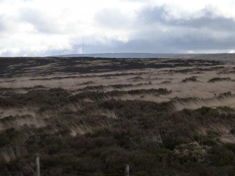
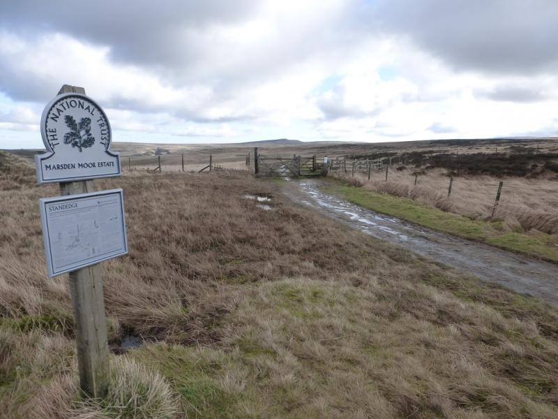
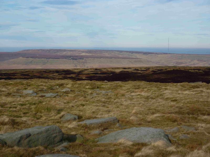
This is the last section of the Pennine Way which is within the Peak District. The next section will be in the South Pennines. The route is fairly easy to follow but the approach to Black Hill is quite rough and stony in places. The final approach to the summit is mainly on a slabbed path but parts of it are missing which can prove awkward under snow. The summit area is now slabbed and a lot drier than it used to be. The official Pennine Way now goes north north east from the trig point then loses height passing reservoirs before tediously regaining it over Wessenden Moor. The old Pennine Way was more direct going north west from the trig point to the A635 then continuing to Standedge. This route could often be very boggy though. There is a large car park at Standedge. The Pennine Way descent from Black Hill crosses two prominet gullies which can be awkward after heavy rain or snow.
Route
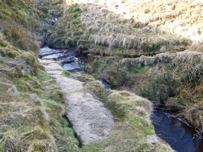
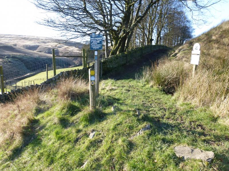
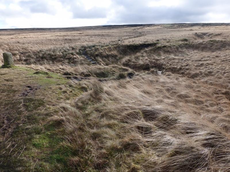
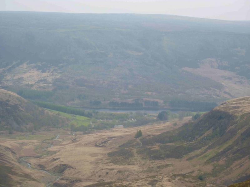
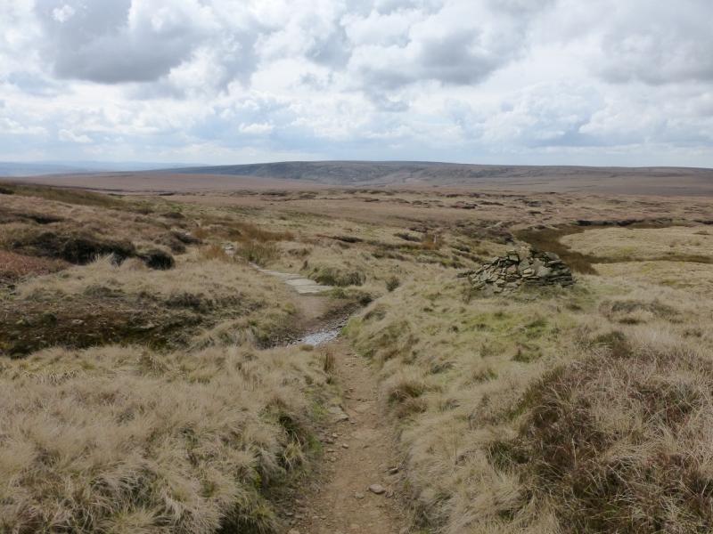
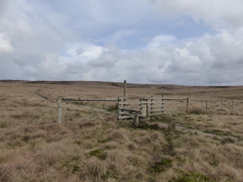
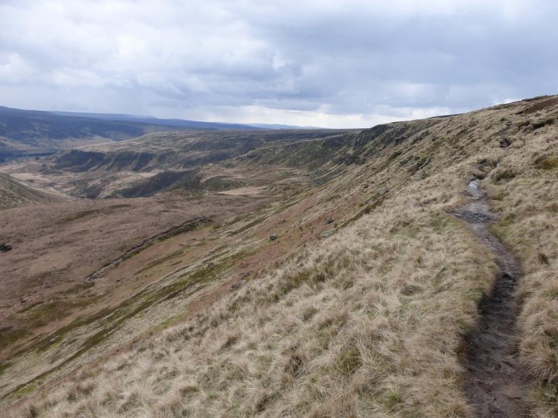
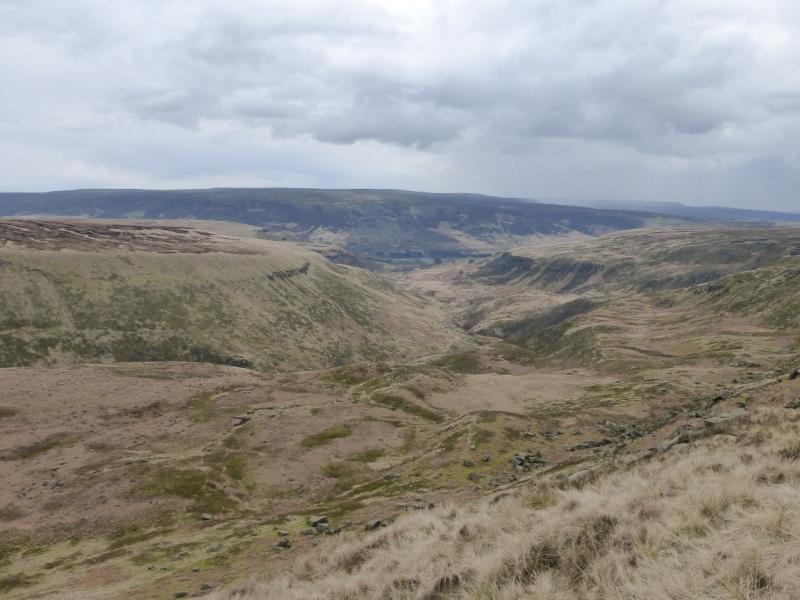
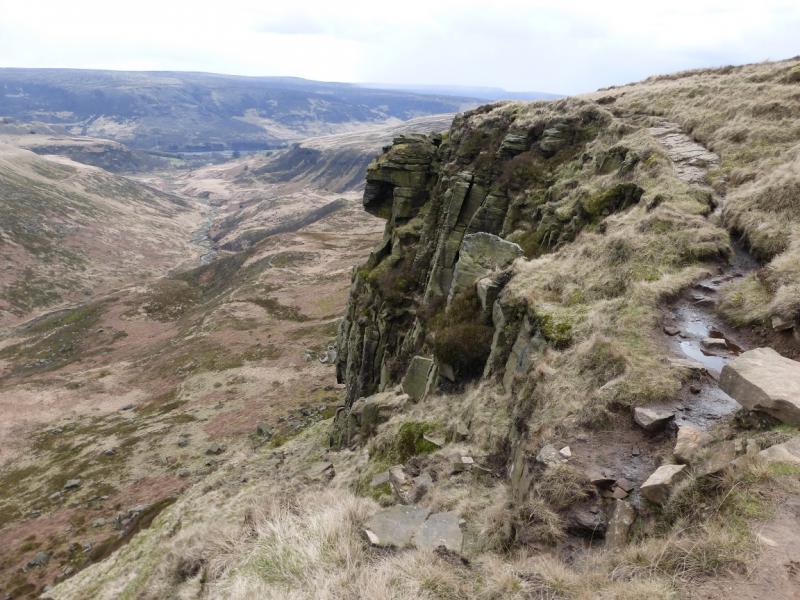
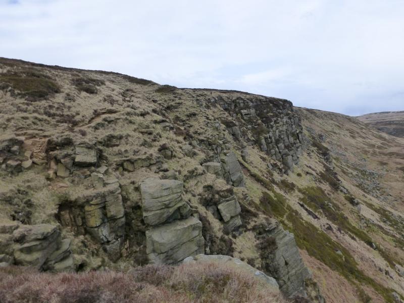
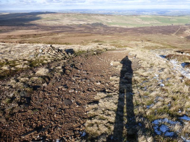
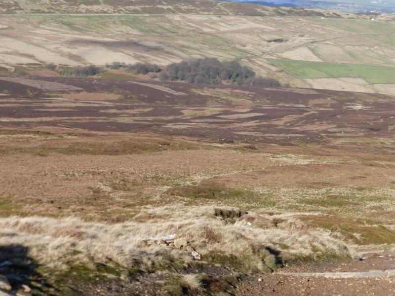
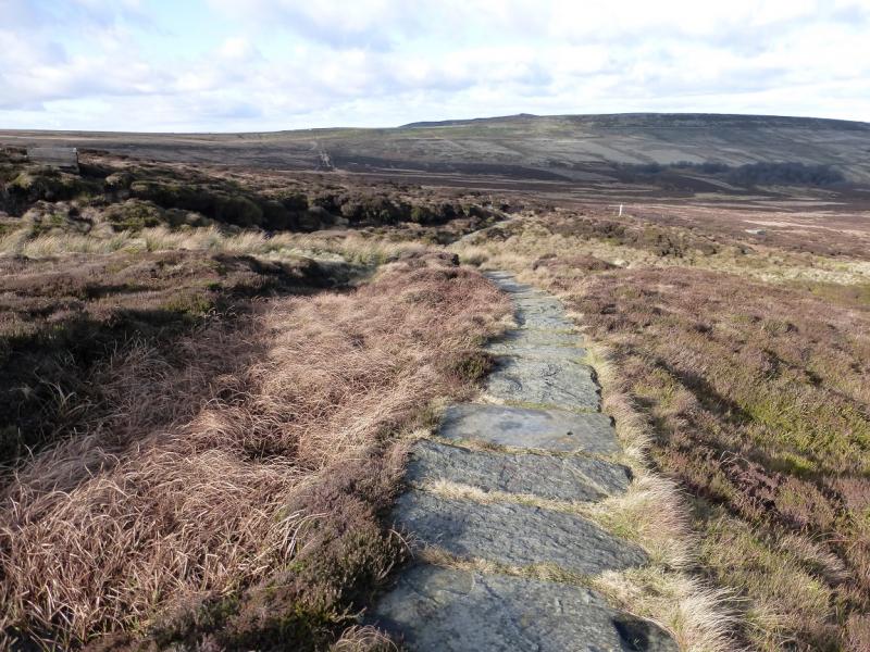
(1) From the car park, follow the sign to the toilets. Turn right at the toilets and follow the good path, by a wall, up the side of the camp site to reach a minor road. Follow the minor road around the camp site – there is often a short boggy section – to where it starts ascending. Soon after, before the crest of the road, there is a sign for where the Pennine Way goes N. Follow this and soon pass a small wood. Continue, crossing two streams and with a few steeper sections. The path is quite rough and stony in places but very easy to follow. Eventually, it reaches the top of the edge above Laddow Rocks. Soon after, it descends gently towards Grains Moss. There are some boggy patches on this section but soon a slabbed path is reached then a fence and stile. Cross over and continue on the slabbed path which, later, turns to a gravel path before becoming slabbed again near to the trig point which marks the summit of Black Hill, 582 m.
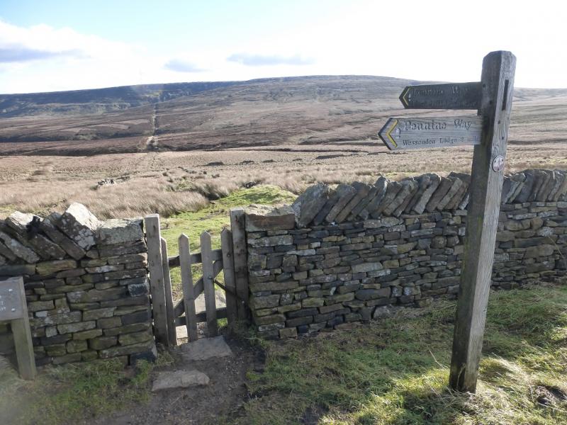
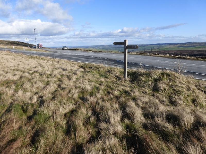
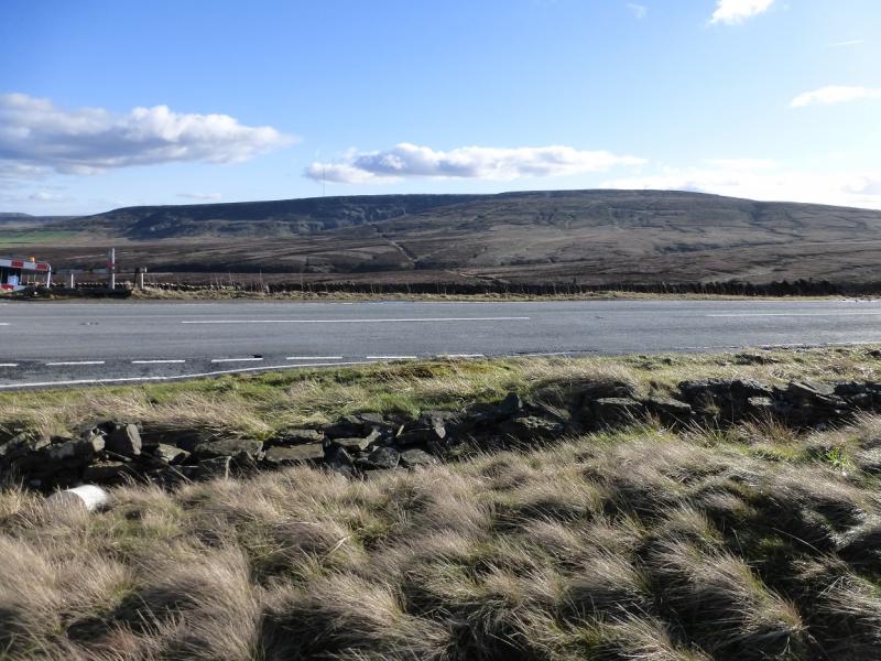
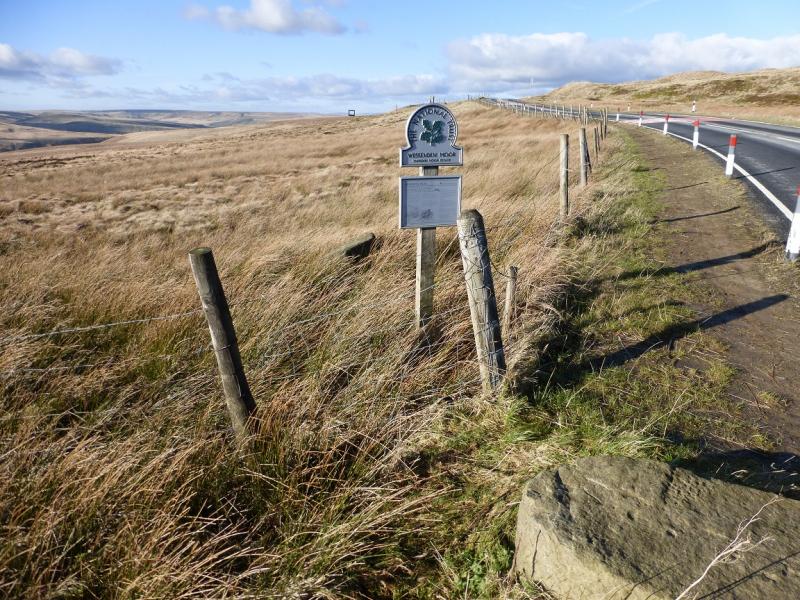
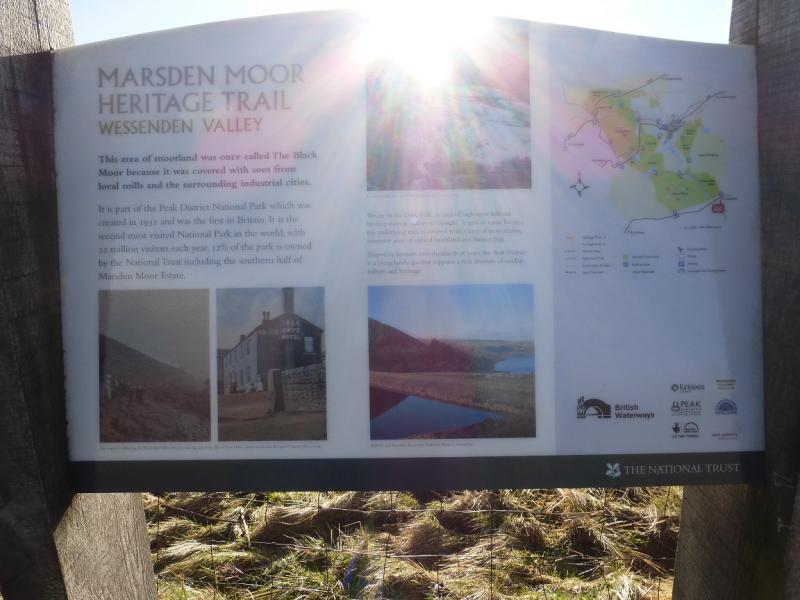
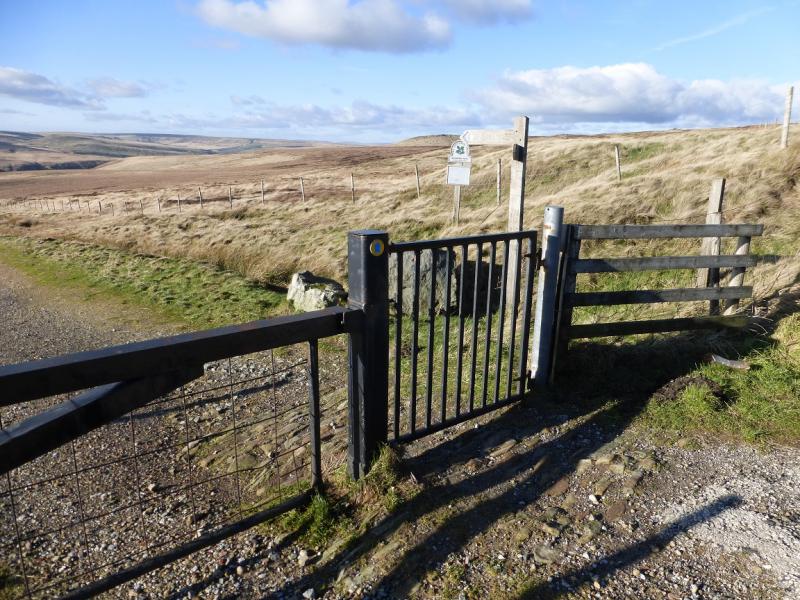
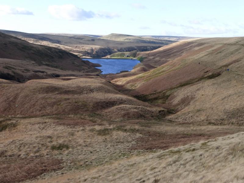
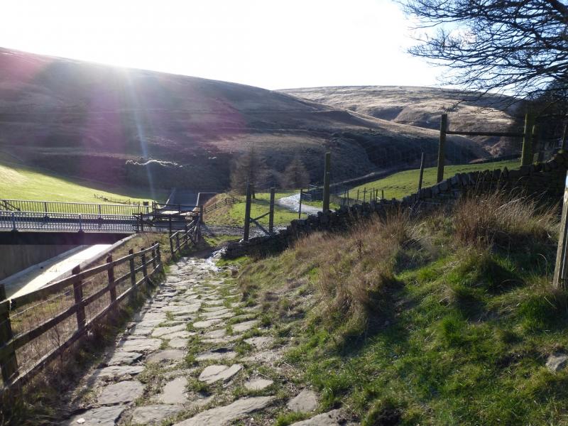
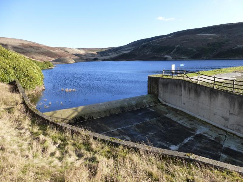
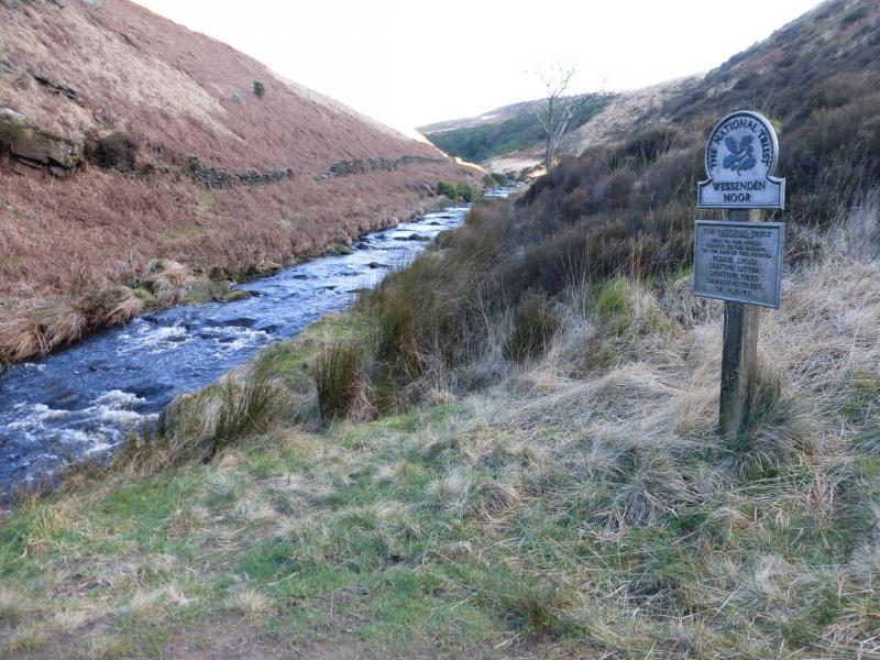
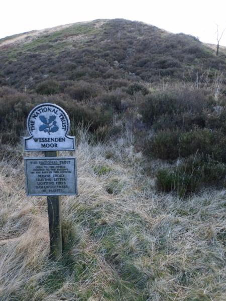
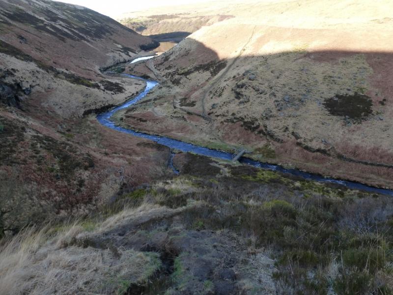
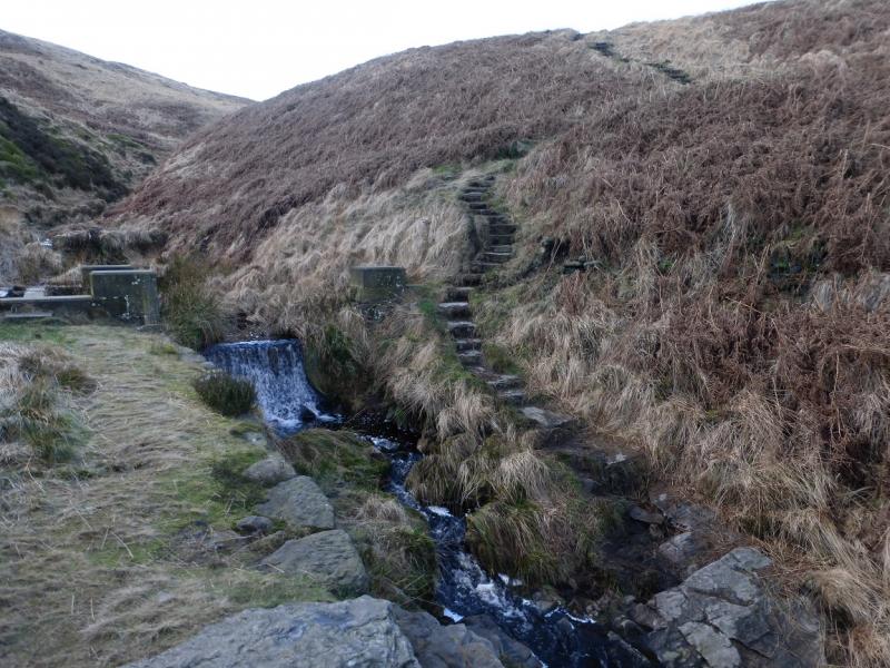
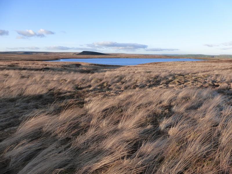
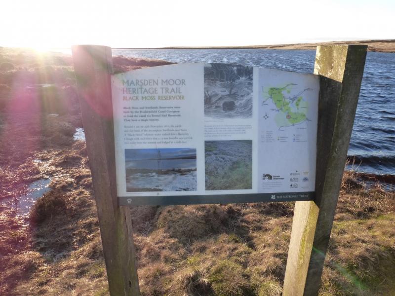
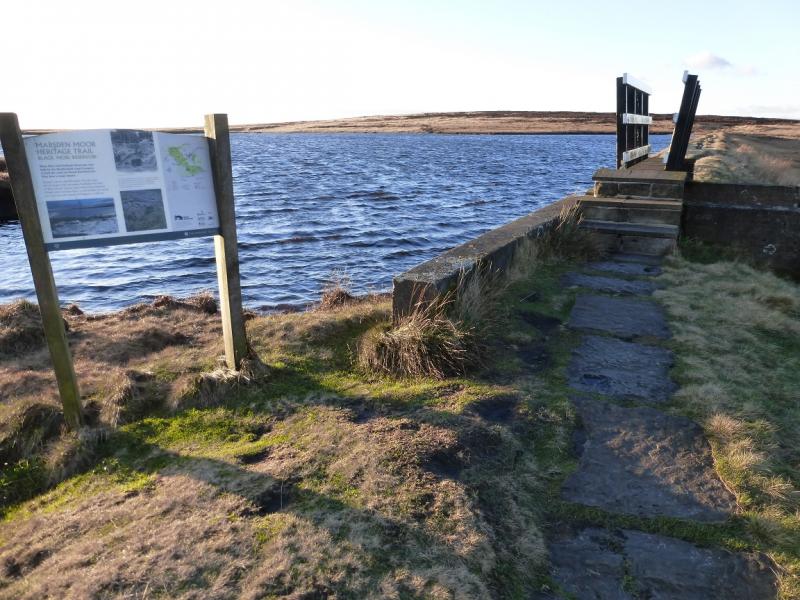
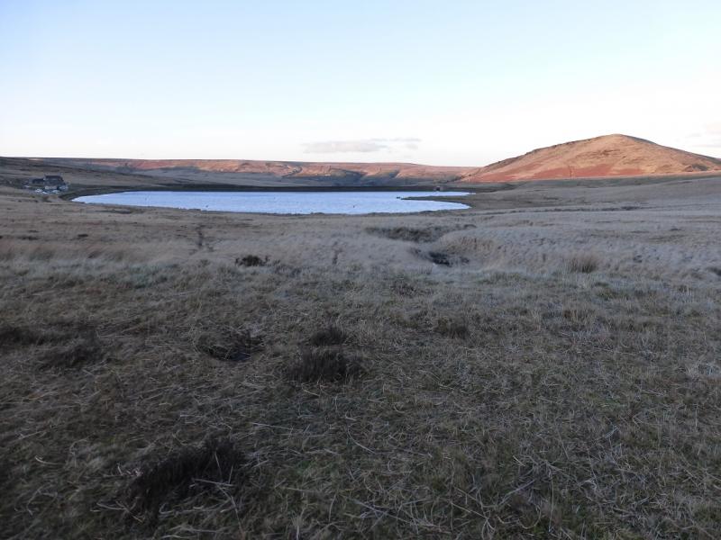
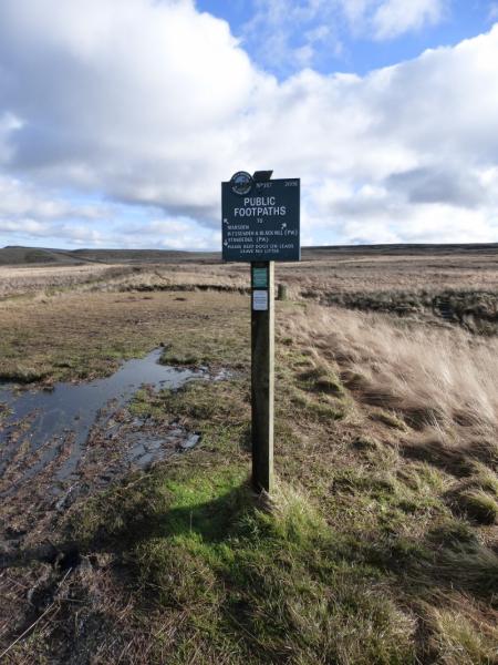
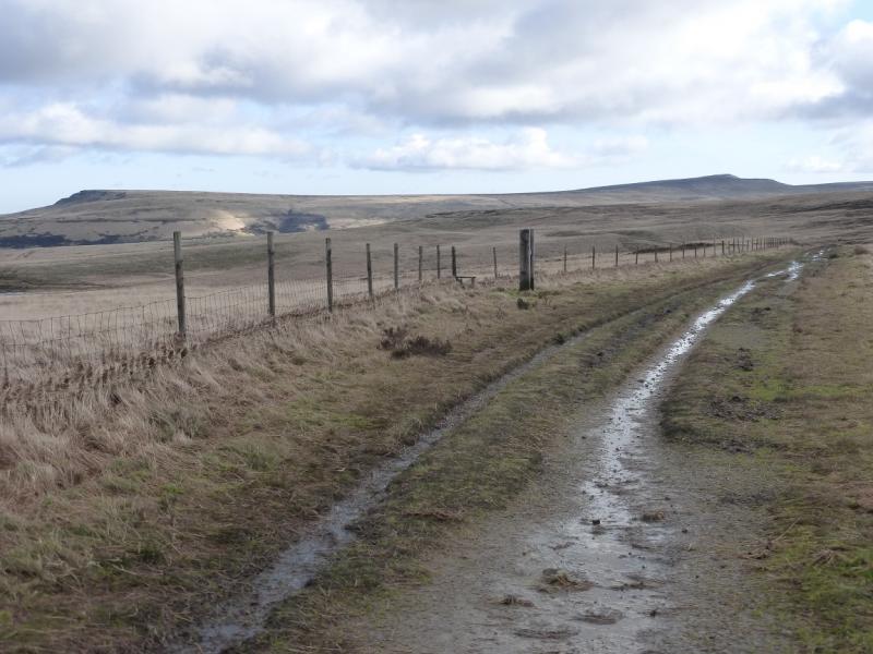
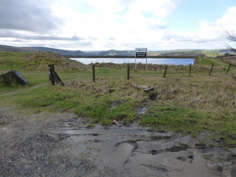
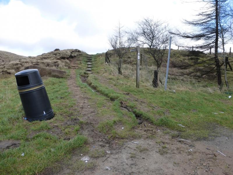
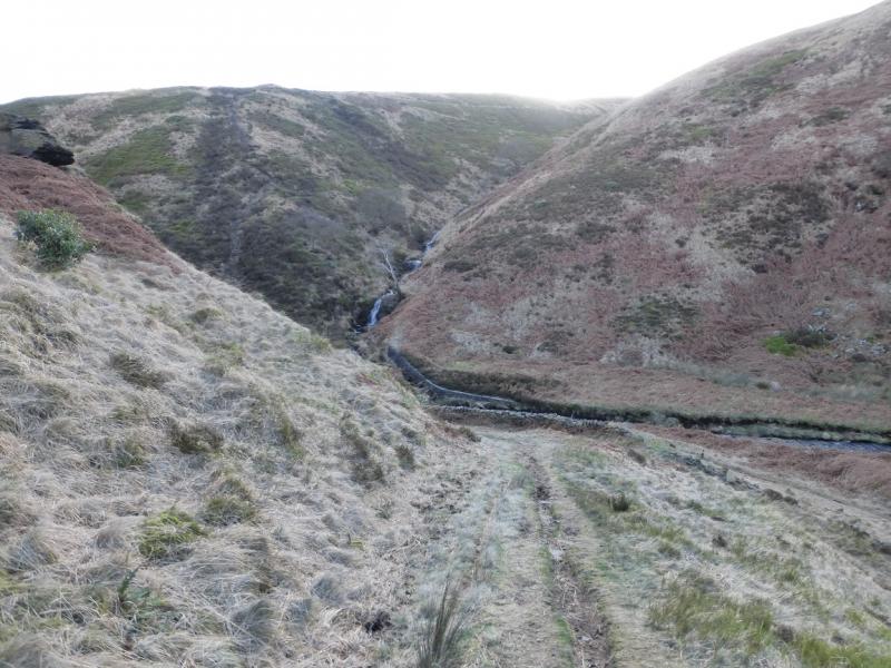
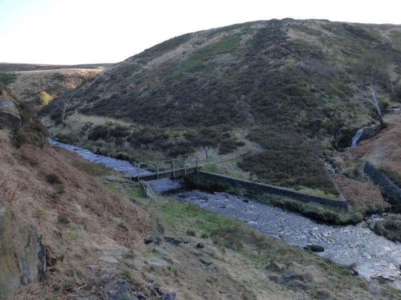
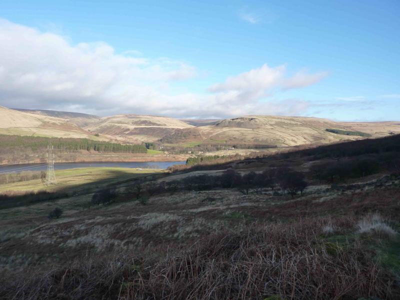
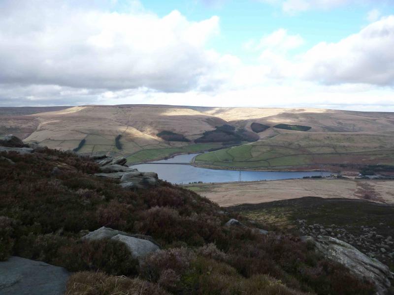
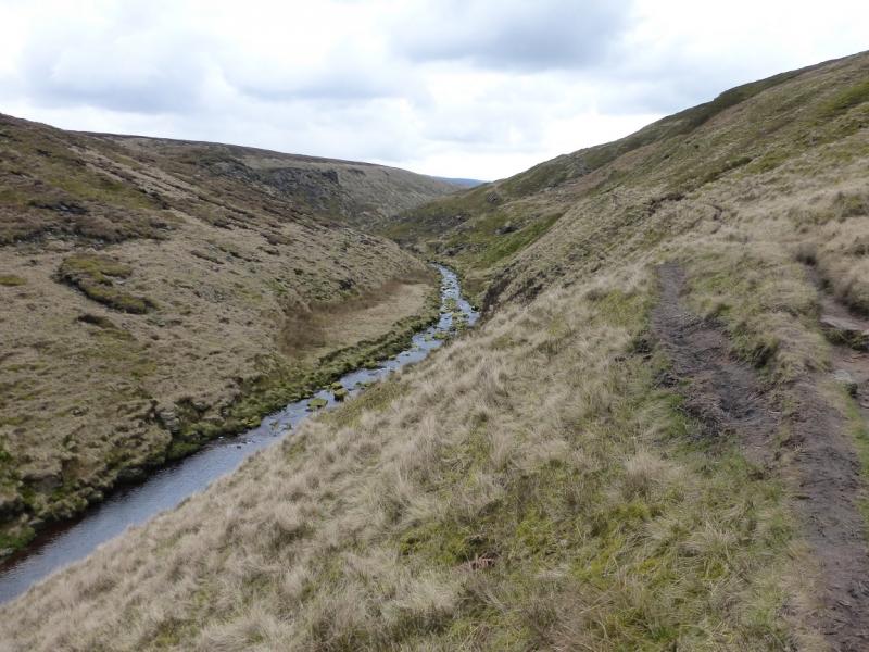
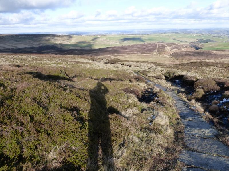
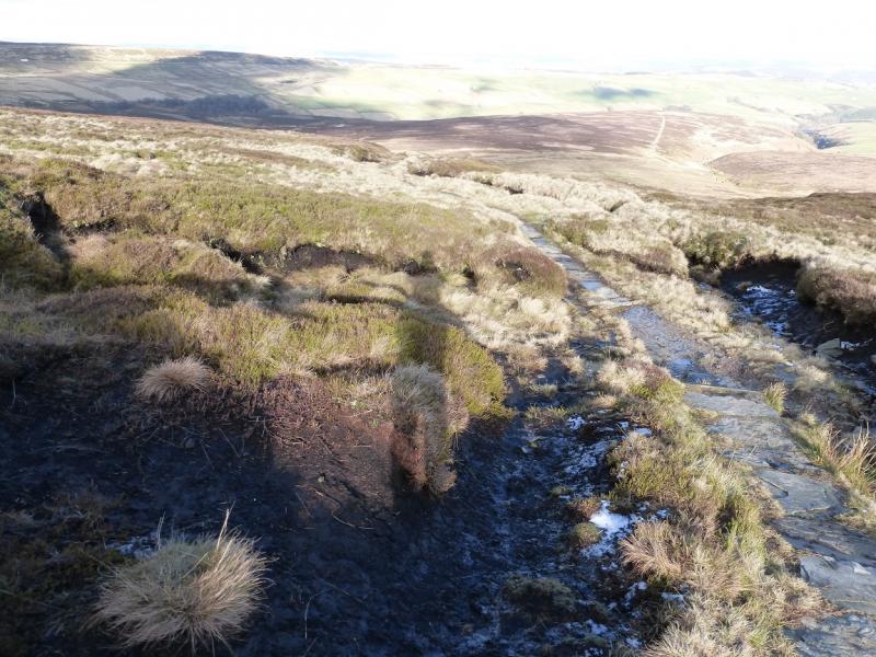
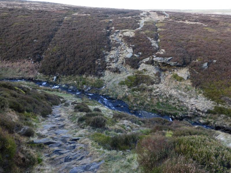
(2) From the trig point, follow the slabbed path NNE descending gentle slopes. In winter, be careful on slabs in the shade as they may be slippery owing to invisible ice forming on them. Lower down, the path turns NNW and descends into Dean Clough. In very wet weather, the crossing will be difficult as there is no bridge and one may have to detour upstream. Not much further is a minor clough which can also be tricky in wet weather. Soon after, reach the A635 Saddleworth Moor road. Walk E a short distance then take the minor road forking left. Follow this for about 300 m to where the Pennine Way leaves the road. Follow the track to Wessenden Head Reservoir then NW to Wessenden Reservoir after which the path drops down to the left to Wessenden before following a track downstream (towards Marsden). After about another 400 m, a sign post indicates that the Pennine Way descends into the deep clough (not named on the maps) on the left. Cross the river by the bridge then ascend the steep path to a small structure. Turn right on to a grassy track and follow this up the side of Blakely Clough which is crossed higher up. There is then a long, gradual but tedious trudge up and over Wessenden Moor with many false “tops”. Eventually, one passes Swellands Reservoir then reaches the SE corner of Black Moss Reservoir where there is an information board. Walk around the E and N sides of the reservoir to rejoin the old Pennine Way which is followed back to the car park.
Notes
(a) This route is a composite from walks which took place on 25th March, 2014, and 10th February, 2016.
Photos - Hover over photo for caption. Click on to enlarge. Click on again to reduce.
.jpg)
.jpg)
.jpg)
.jpg)
.jpg)
.jpg)
.jpg)
.jpg)
.jpg)
.jpg)