Get Lost Mountaineering
You are here: England » Pennine Way » 1. Edale Village to Hebden Bridge
5: White House to Hebden Bridge via Stoodley Pike & Pennine Way
5: White House to Hebden Bridge via Stoodley Pike & Pennine Way
Start/Finish
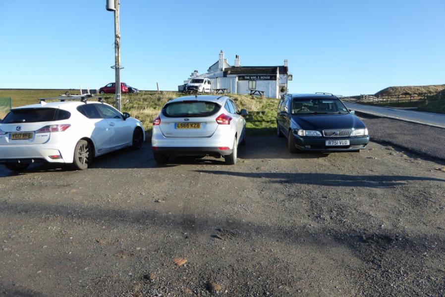
Free, very rough, car park just below The White House Inn which is just below Blackstone Edge Reservoir at SD 968 178 on the A58 road from Littleborough to Ripponden. The Inn is a well known land mark being painted white! It is about 3 miles from Littleborough and about 5 miles from Ripponden. The car park is very rough so drive very slowly in it. The White House is a very good place to eat.
Distance/Time
13 km. About 4 hours.
Peaks
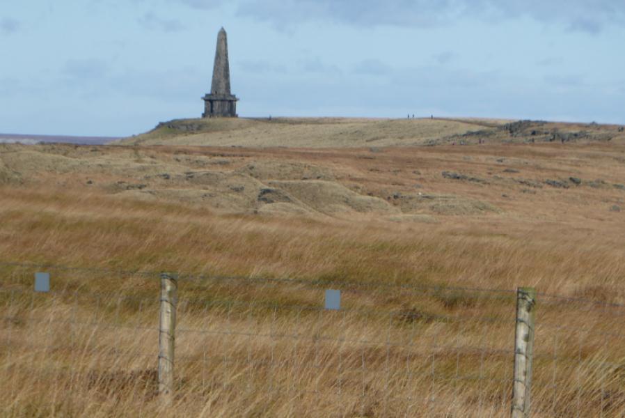
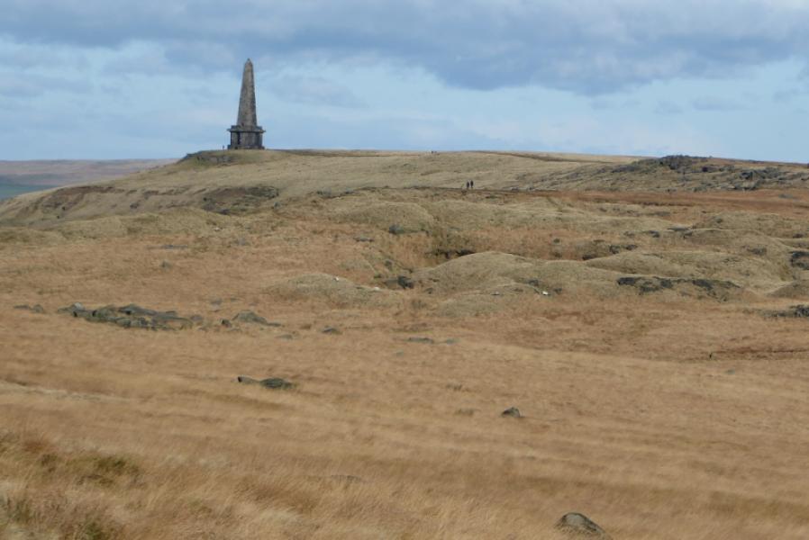
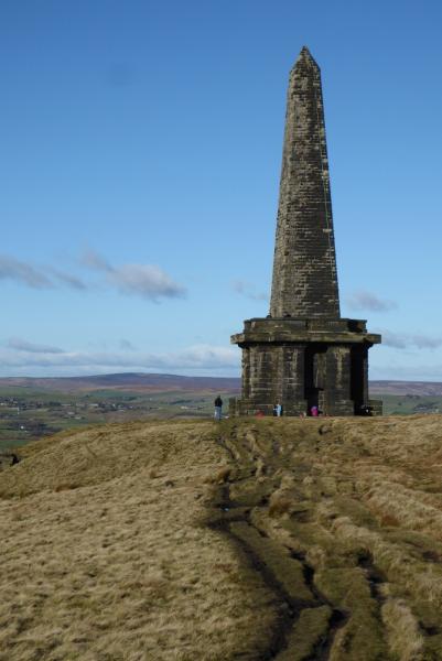
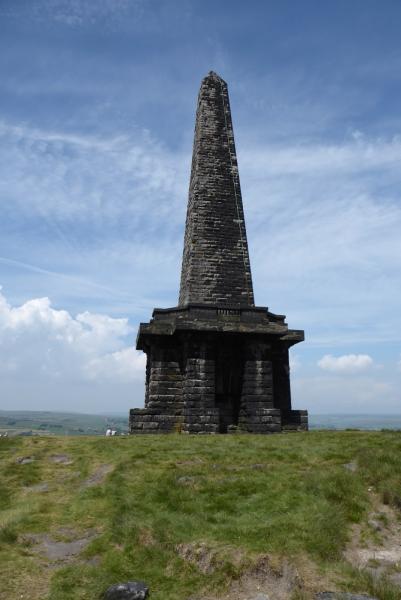
Stoodley Pike Monument, 402 m, SD 973 241.
OS Outdoor Leisure 21: South Pennines.
Introduction
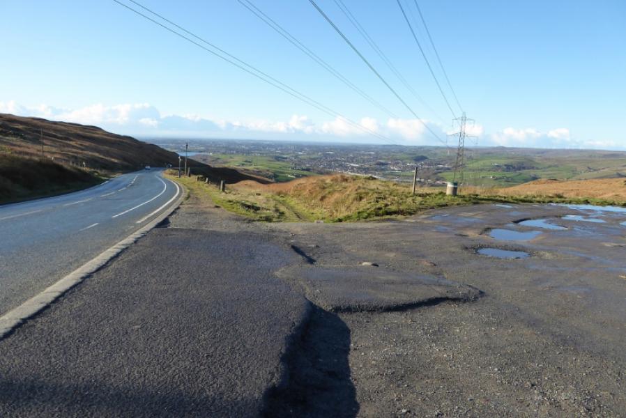
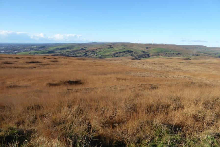
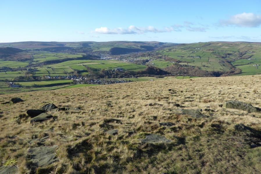
This is a very straightforward walk with little ascent as the White House is not far off 400 m so much of the walk is level or gently inclined. The steepest section is the descent to the main road to the west of Hebden Bridge. There are good views including valleys and reservoirs not to mention the huge obelisk known as Stoodley Pike Monument. On 12/11/17, there was some work on the Pennine Way which meant a short detour.
Route
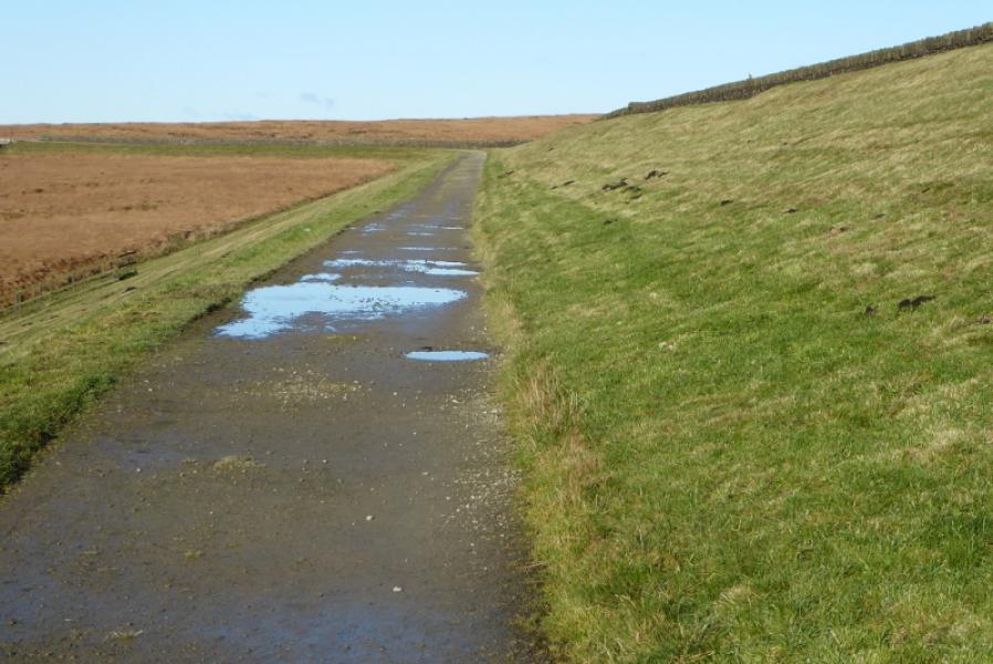
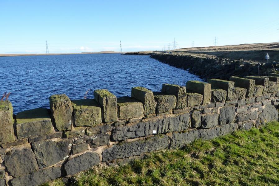
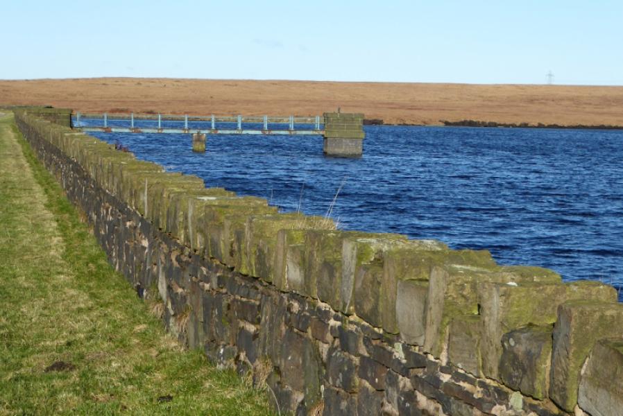
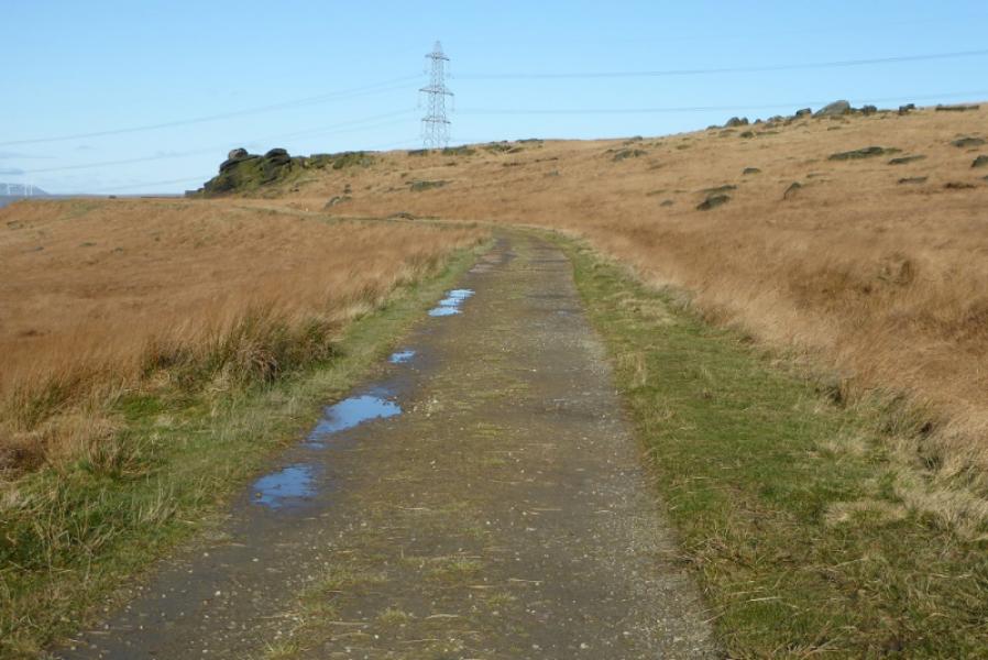
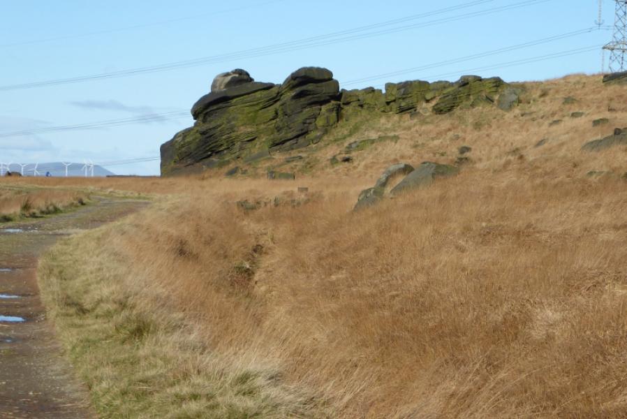
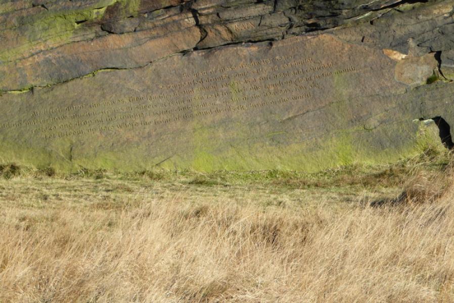
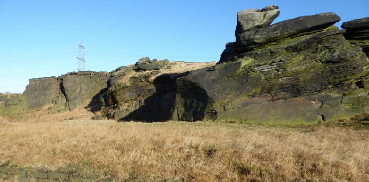
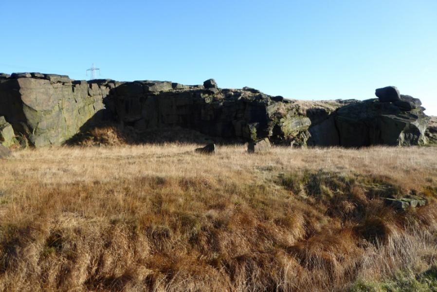
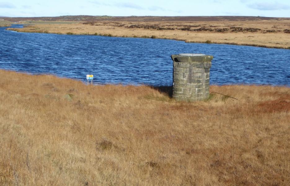
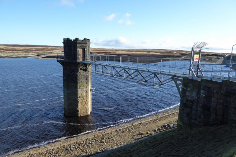
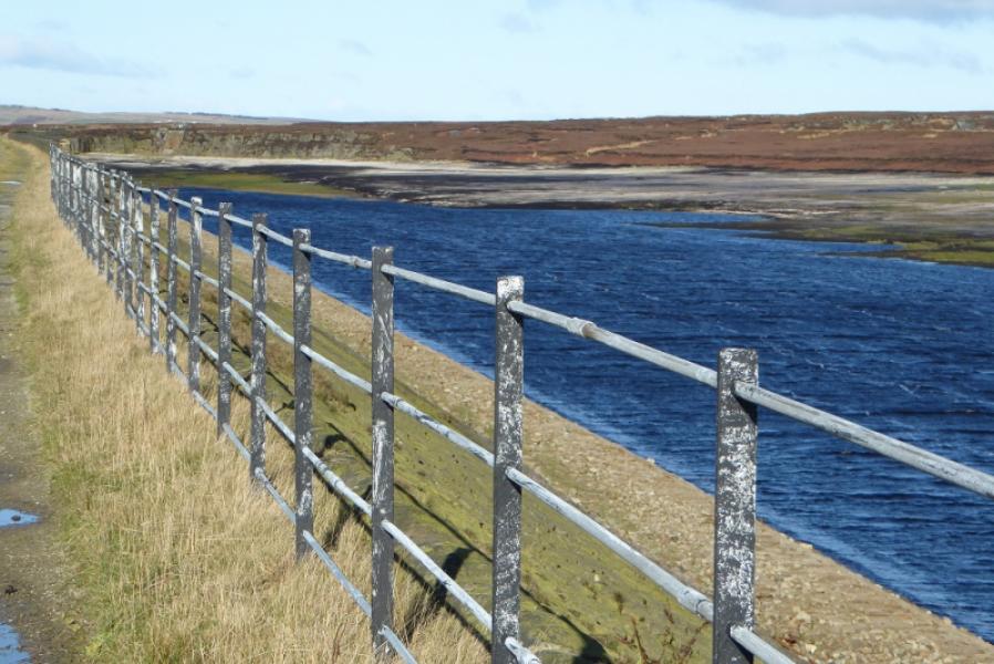
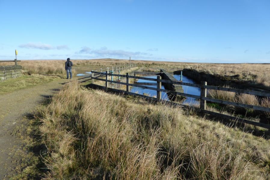
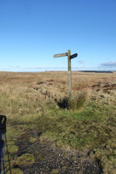
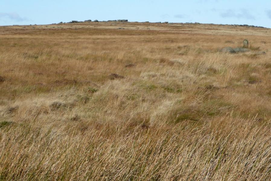
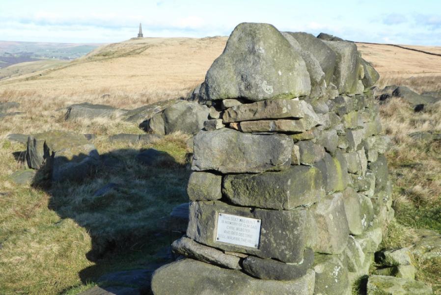
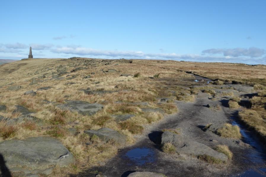
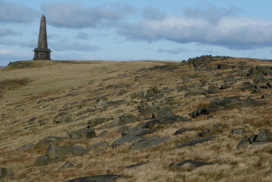
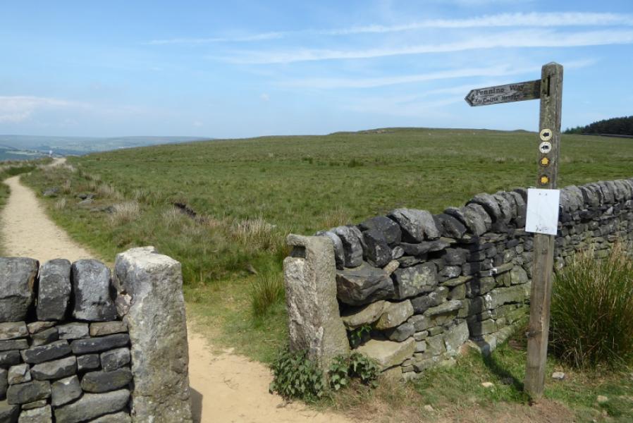
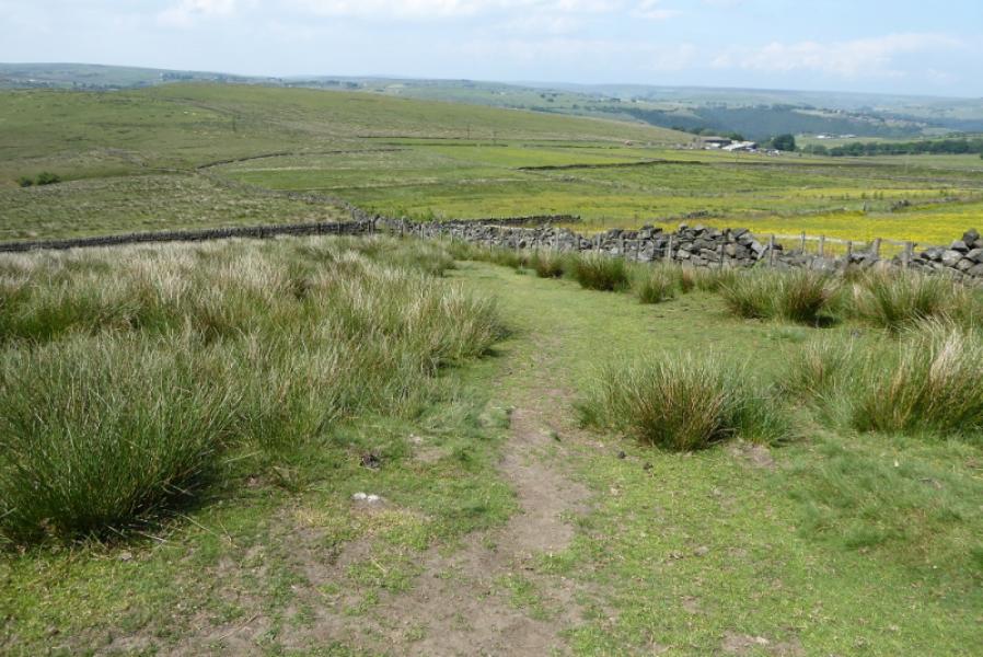
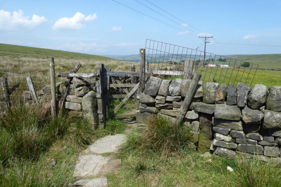
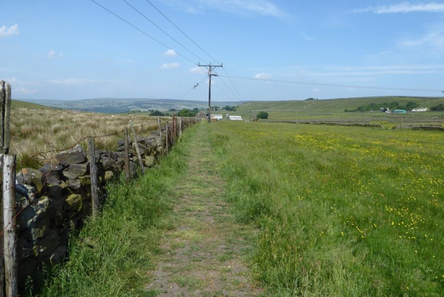
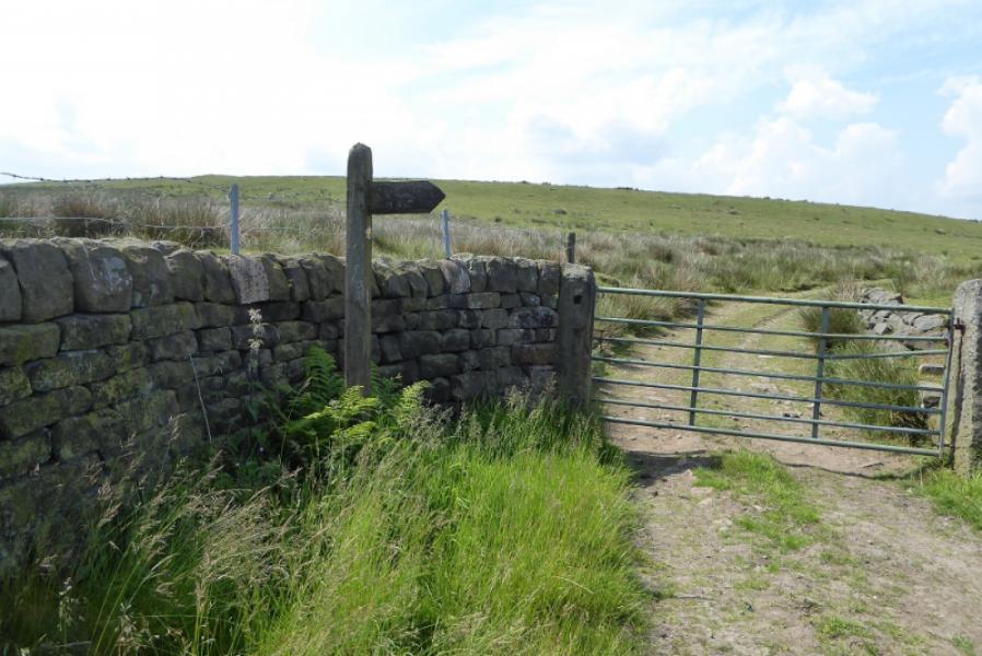
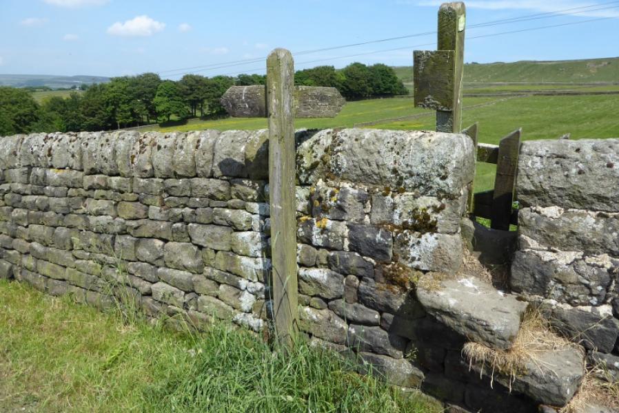
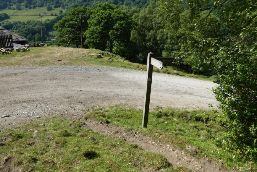
(1) Walk up the road past the White House to reach the sign indicating the Pennine Way going NW below the grassy dam wall of Blackstone Edge Reservoir. Follow the track and continue past the narrow Light Hazzles Reservoir to reach Warland Reservoir. If the diversion is still in place, do not follow it around the E side of the reservoir as this is quite long. Instead, go left and follow a rough path on the other side of the low fence down to the left which by passes the works. Climb back up to the track along the top of the dam when the steps are reached then continue to the end of the reservoir. Continue N for about 200 m before turning E then curving around to the N to pass to the E of of Coldwell Hillthen turning E for a short distance before heading NNE towards Stoodley Pike Monument, 402 m, a huge obelisk. There are steps inside taking one up to a balcony but it is almost pitch black climbing the stairs so take a torch!
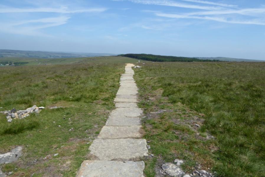
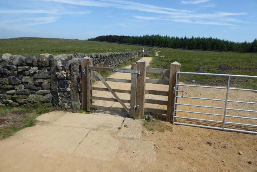
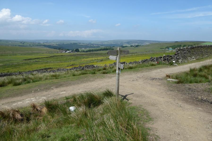
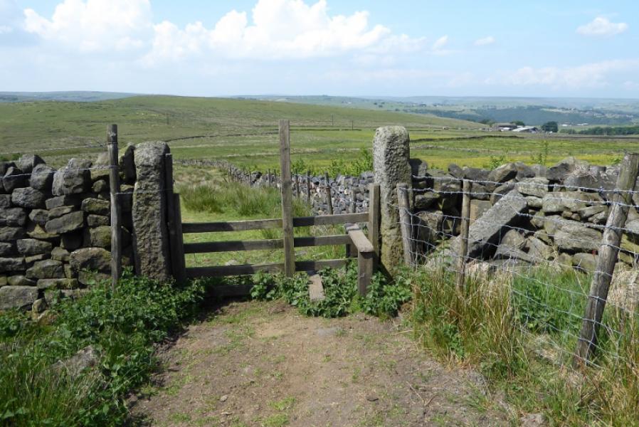
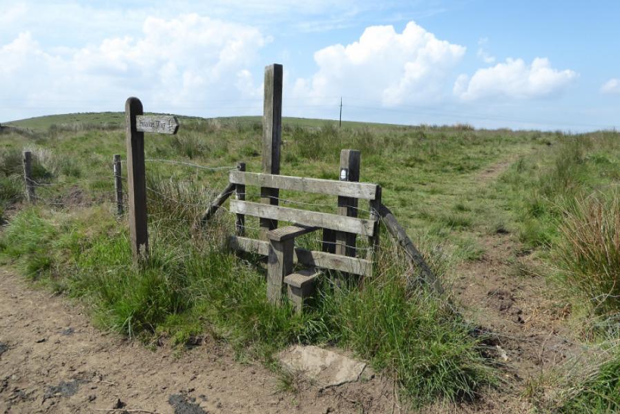
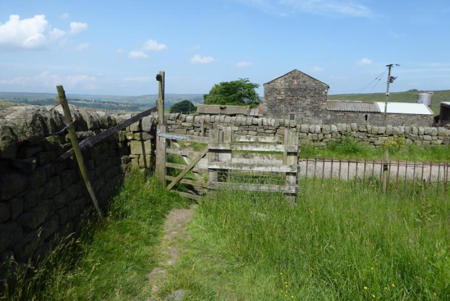
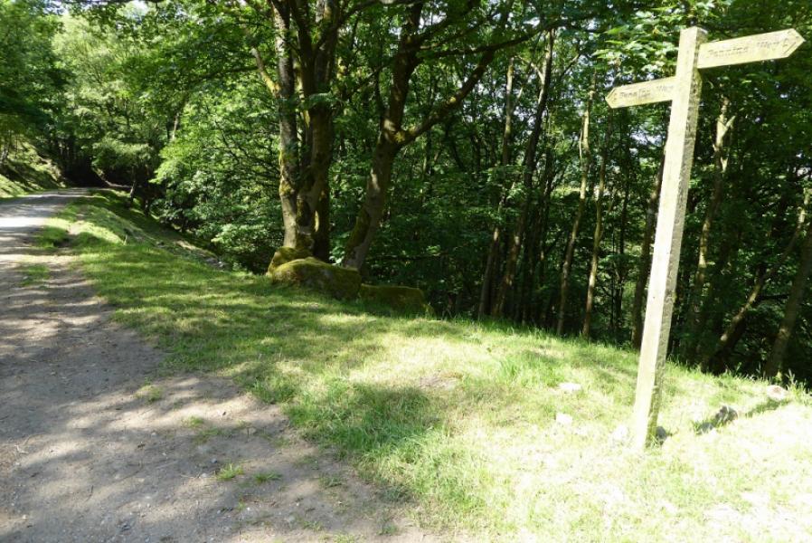
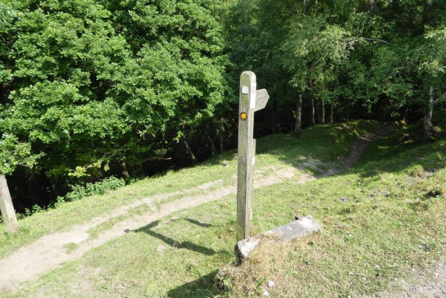
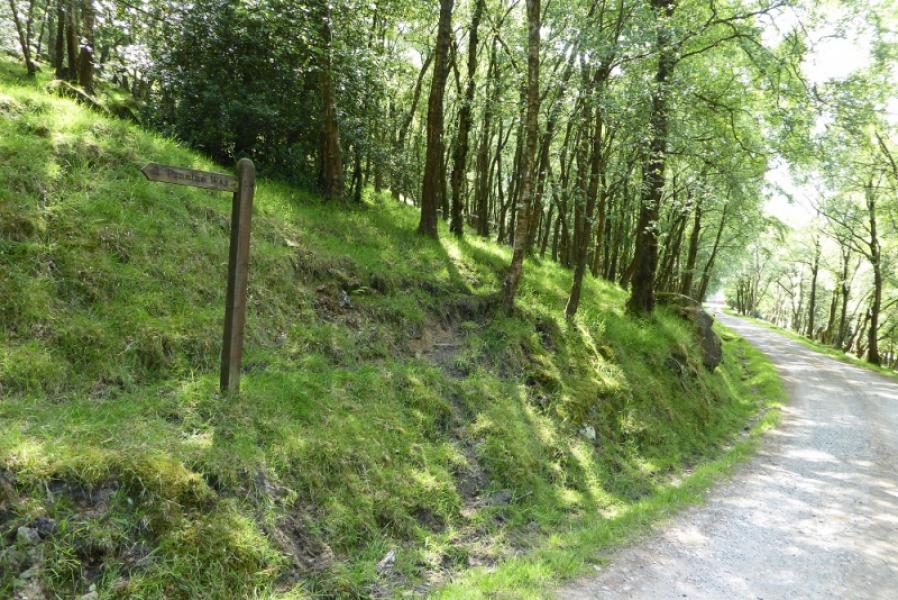
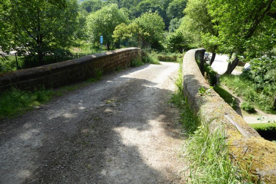
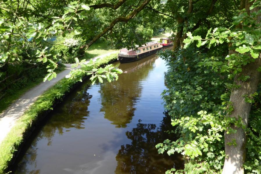
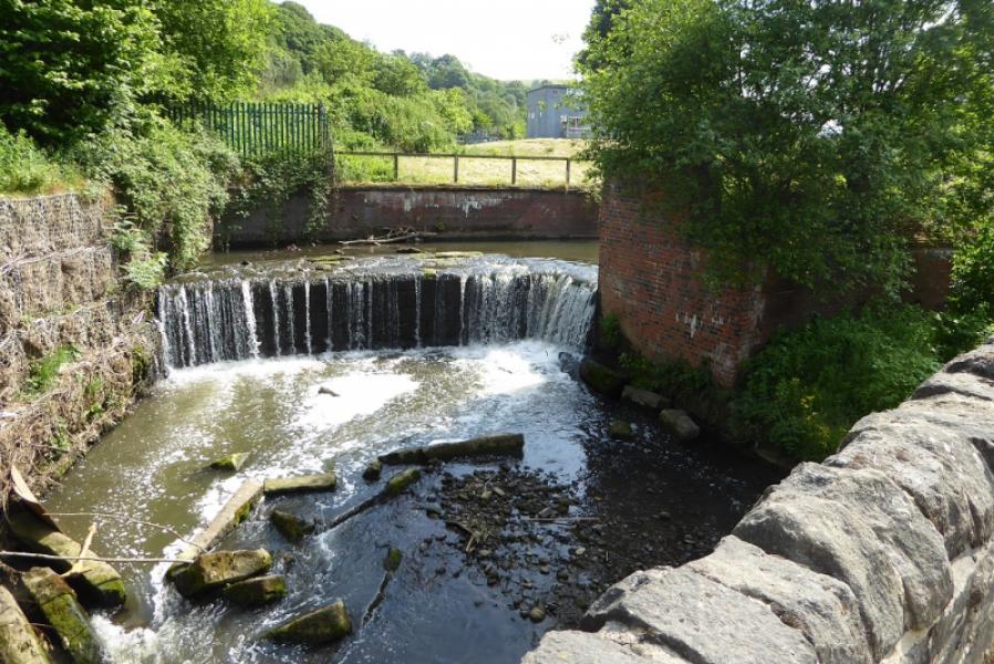
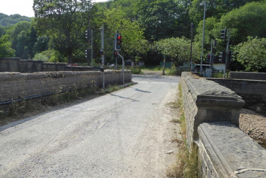
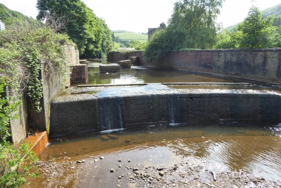
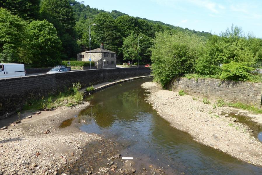
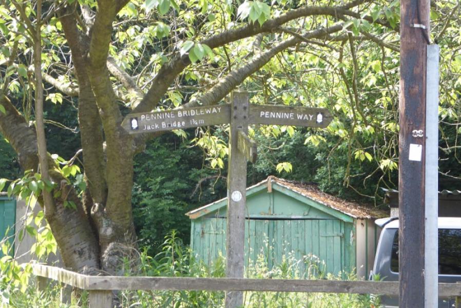
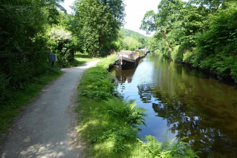
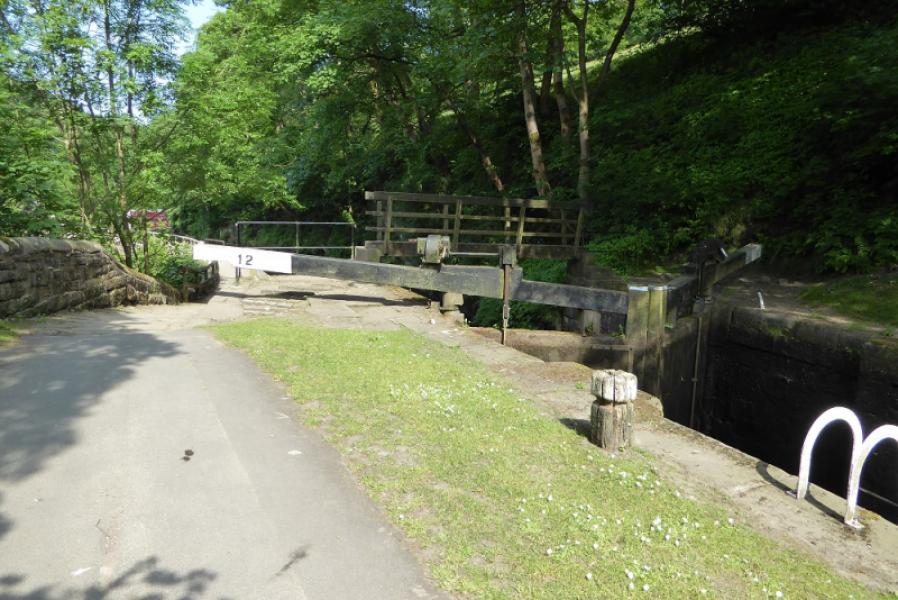
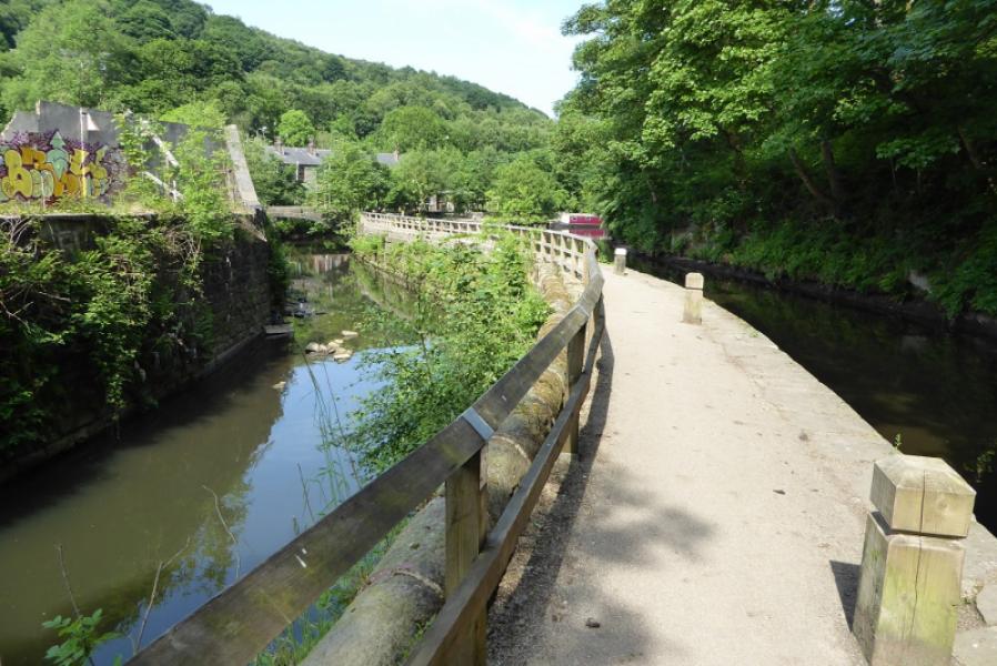
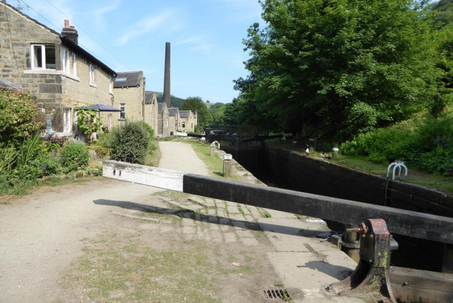
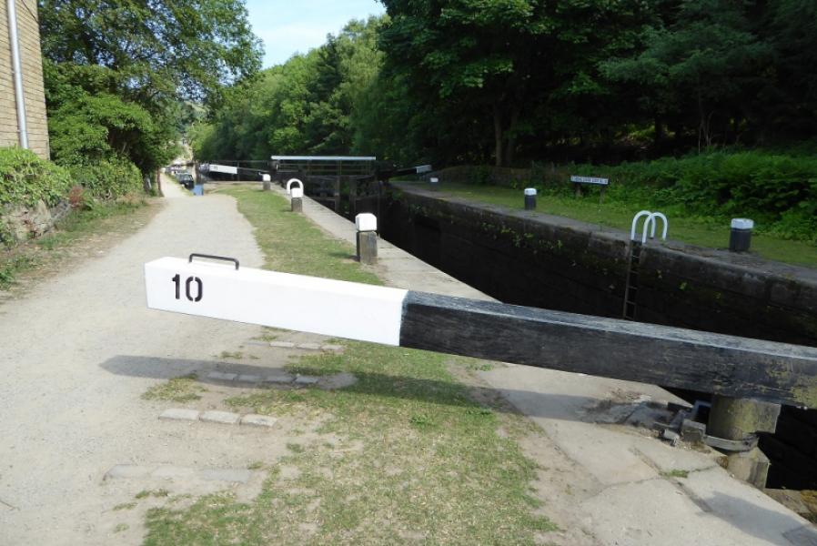
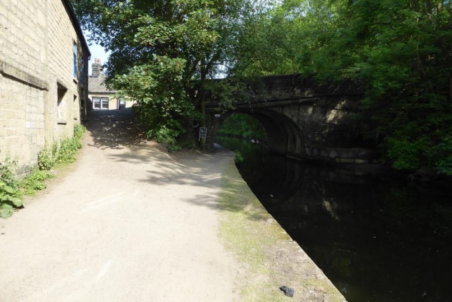
(2) Follow the Pennine Way E from the monument which goes left before the obvious wood is reached. Descend to a crossroads of paths and go straight across then follow a narrow path down to a stile. This section has the worst ground especially in wet weather. Continue down to reach a stile on the right just before the path goes left. Go over the stile or fence (fallen down) and follow a path which later becomes slabbed and leads, via a few gates, to the track just before Lower Rough Farm. Follow the track down, ignoring all paths going off left or right. Lower down, an old track forks left then crosses back over this track before looping down to the right. Either of these can be followed as they rejoin lower down. A sign lower down suggests that the main track is the Pennine Way but some maps say it is the lesser track! Follow the track down to a hairpin bend just before Callis Wood Farm then down to the Callis Canal Bridge, pass the weir then Callis River Bridge and a little further to the main road where, if continuing, the Pennine Way turns right, E. If spending the night in the centre of Hebden Bridge then the most pleasant route is to retrace a little and follow the canal tow path E back to Hebden Bridge. The bridge behind the Co-Op (almost in the centre) is not far after the obvious very tall chimney.
Notes
(a) This is a composite route compiled from walks which took place on 12th November, 2017, and 10th June, 2018.
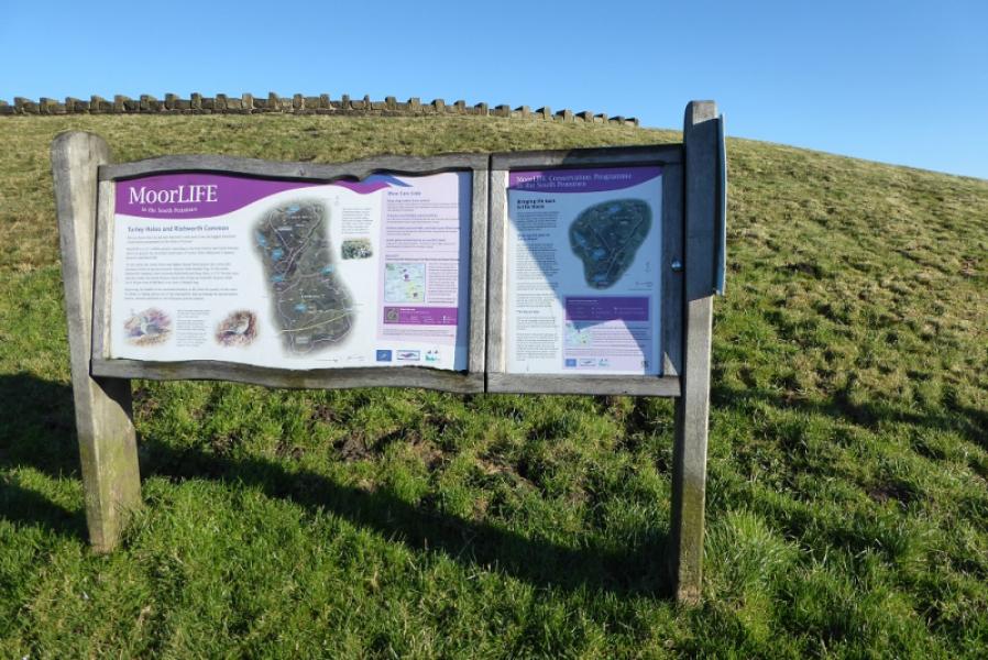
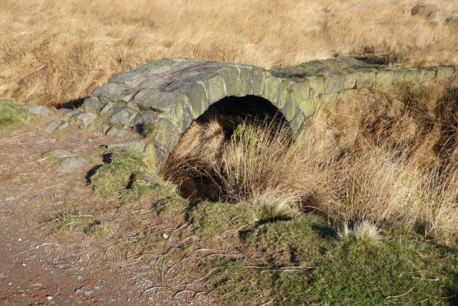
Photos - Hover over photo for caption. Click on to enlarge. Click on again to reduce.