Get Lost Mountaineering
You are here: Ireland » West » Connemara
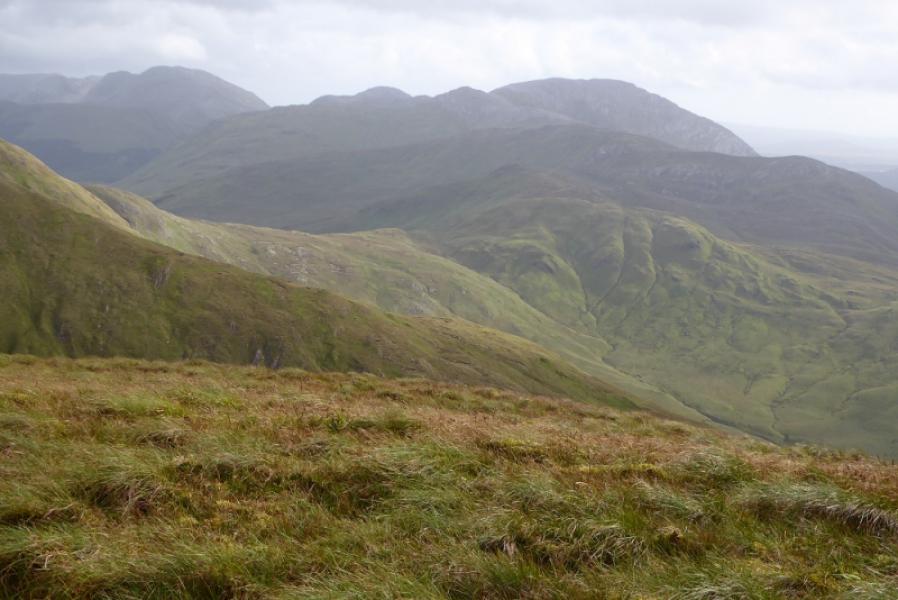
Letterbreckaun direct from S
Letterbreckaun direct from S
Start/Finish
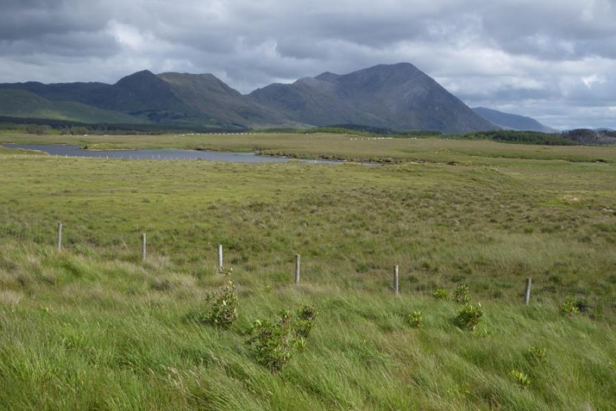
Off road parking (limited) at the junction with the Western way on the minor road to the east of the R344 road from near Recess to Kylemore. It is at L 859 534.
Distance/Time
5 km. About 4 – 5 hours.
Peaks
Letterbreckaun, 667 m, L 855 551. (Irish National Grid System) Harveys Connemara Map
Introduction
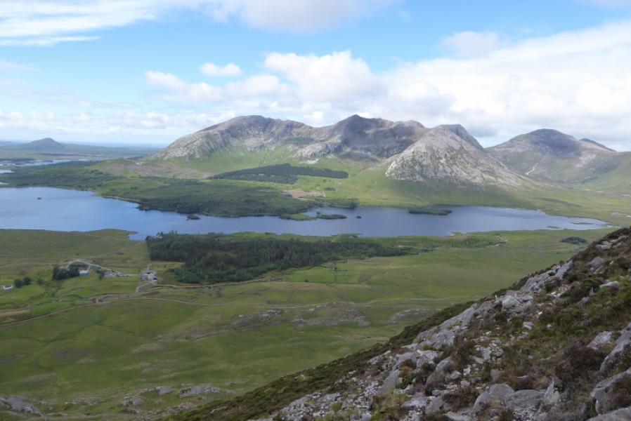
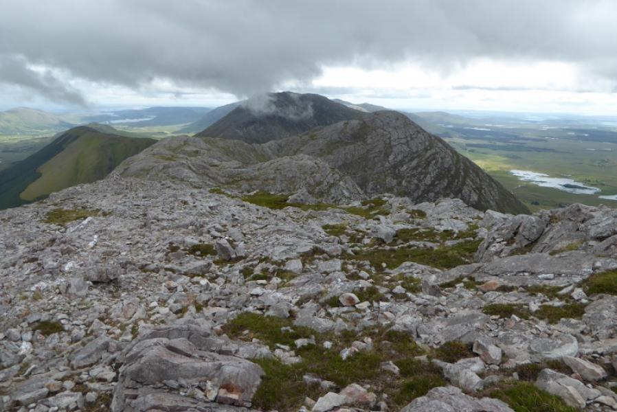
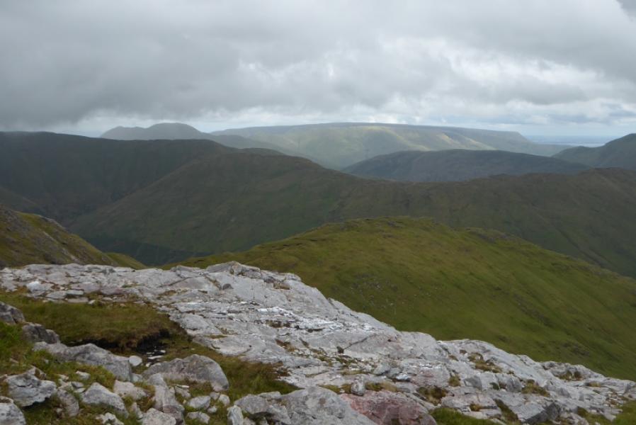
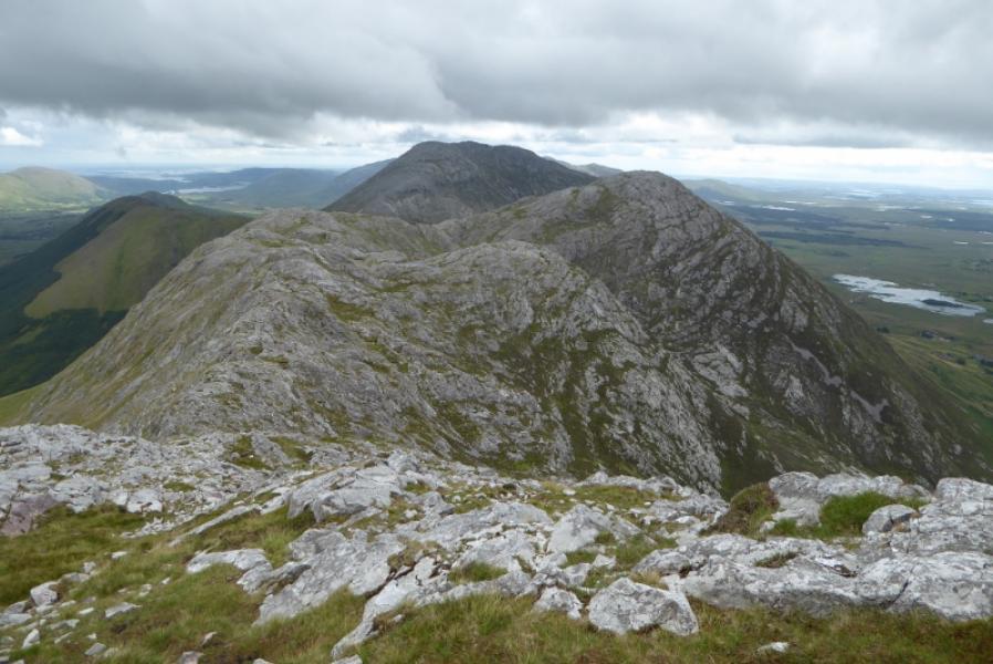
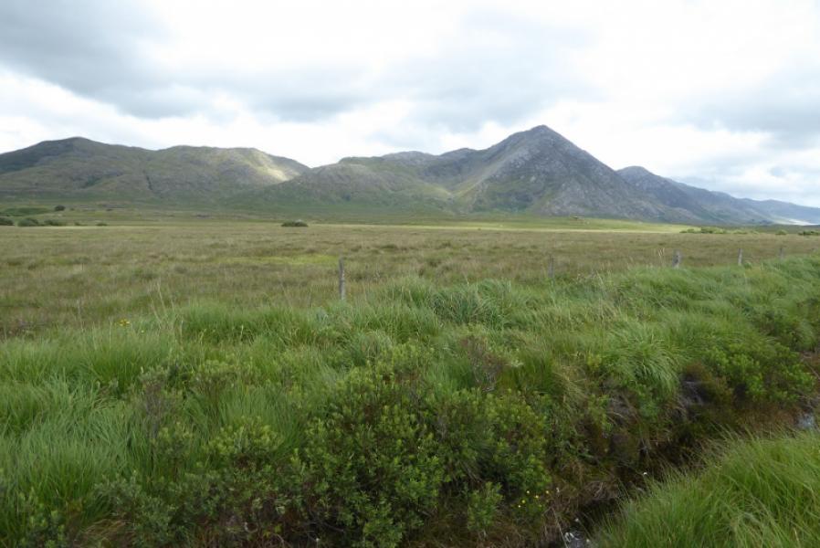
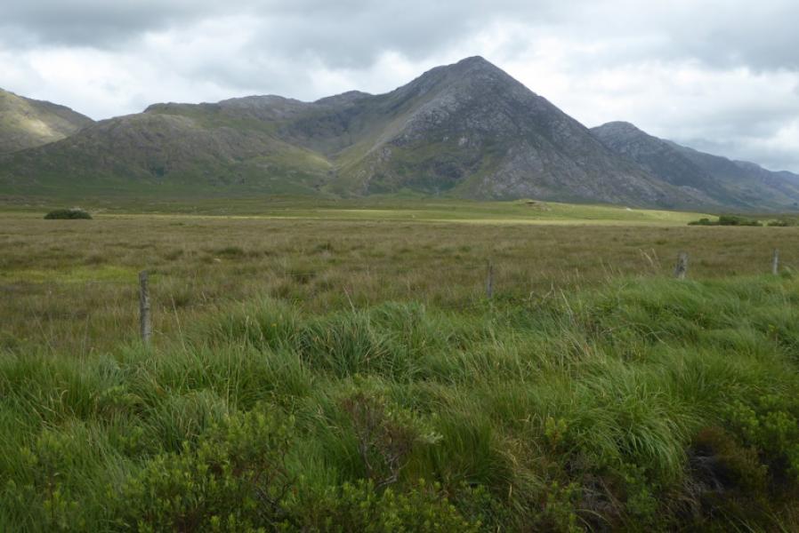
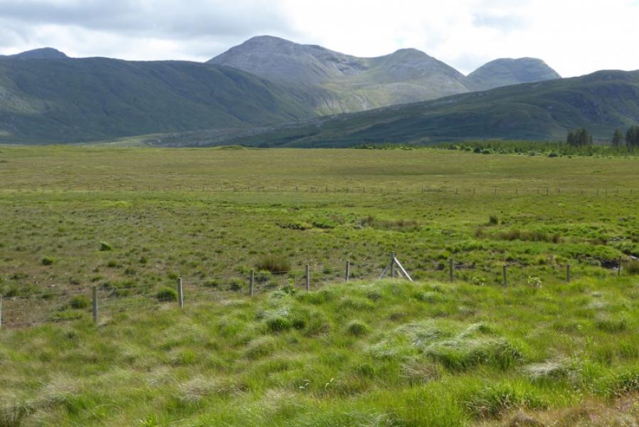
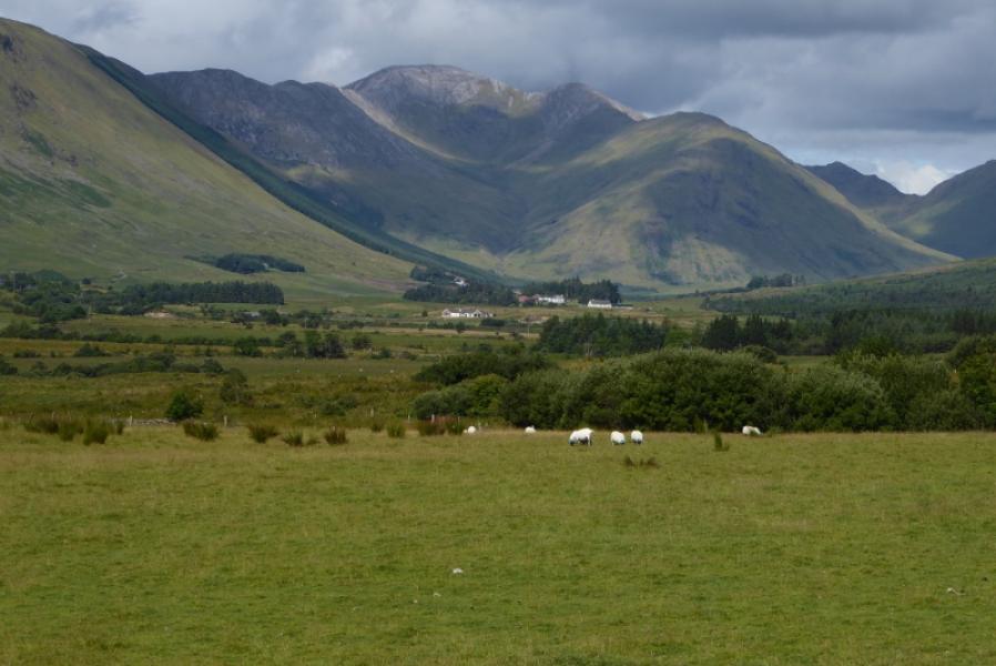
The Maumturks is a long ridge to the east of the 12 Bens. They are just as tough and steep so don't expect to fly around them! They offer good views to the 12 Bens and other mountains in the Maumturks range. Tackle this route in good visibility as good route finding skills will be needed on the steep ascent. Good views to the 12 Bens, the other Maumturks, Leenane Hill and Maumtrasna.
Route
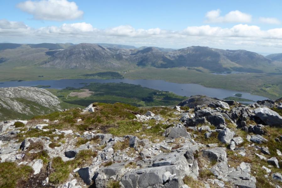
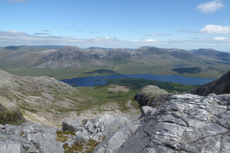
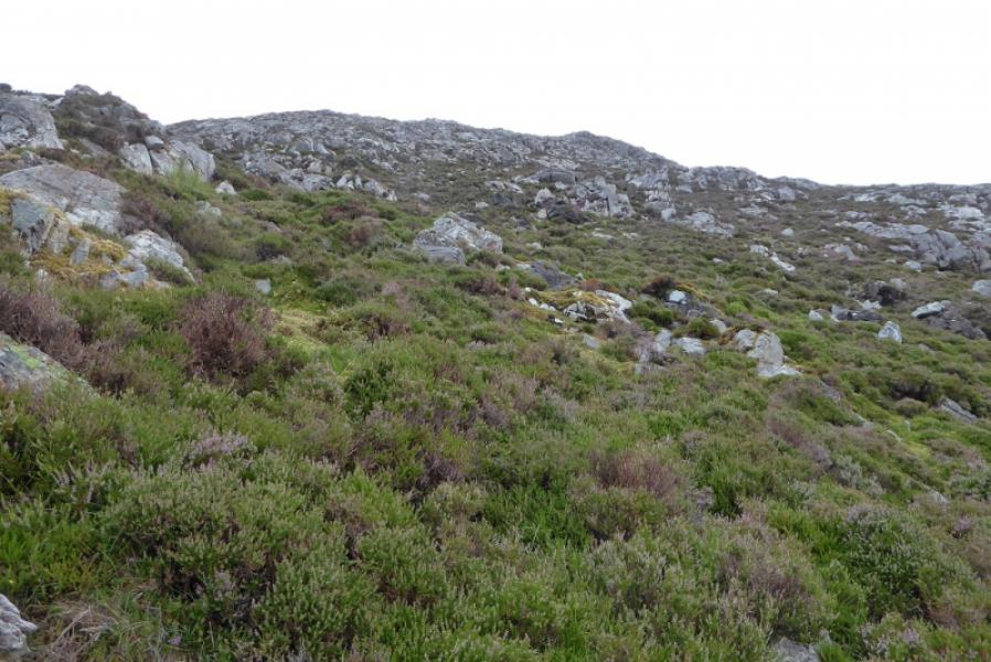
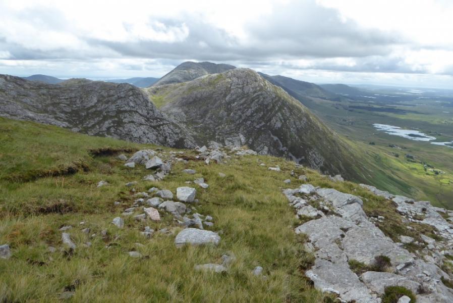
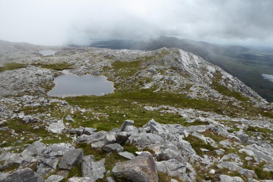
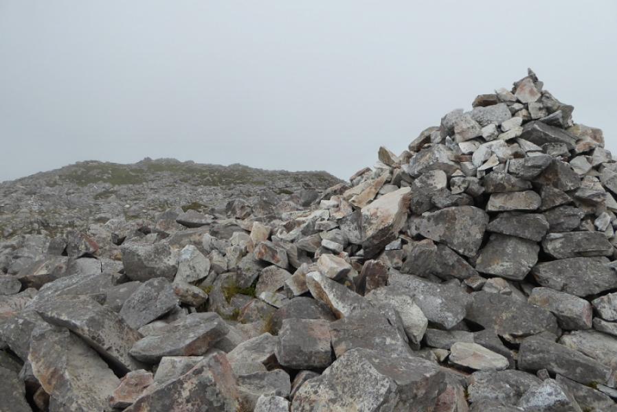
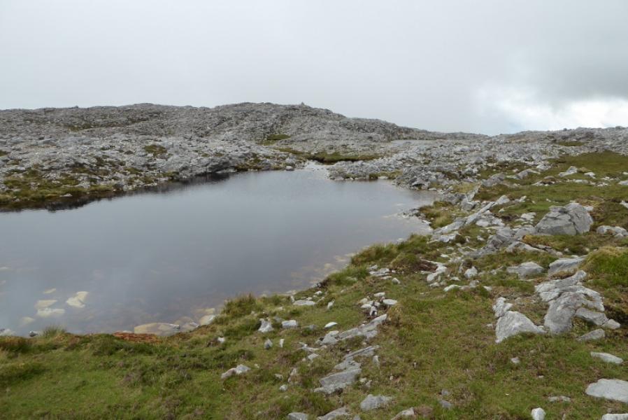
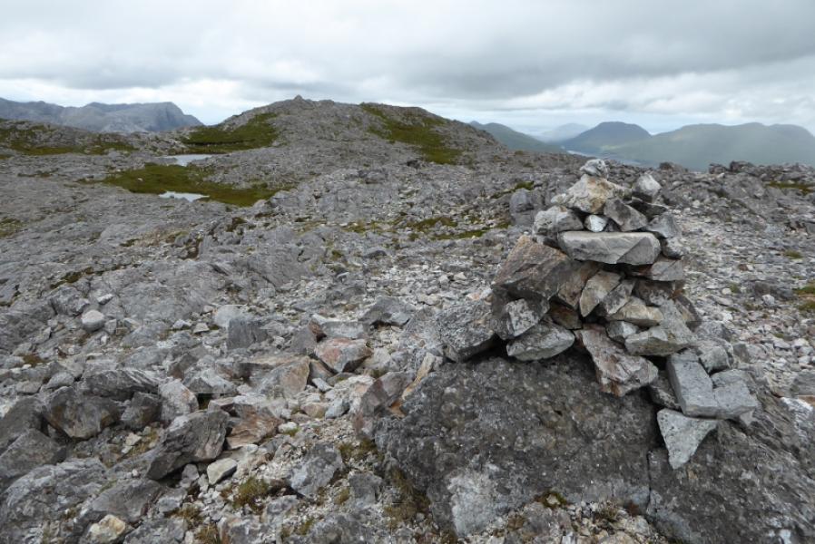
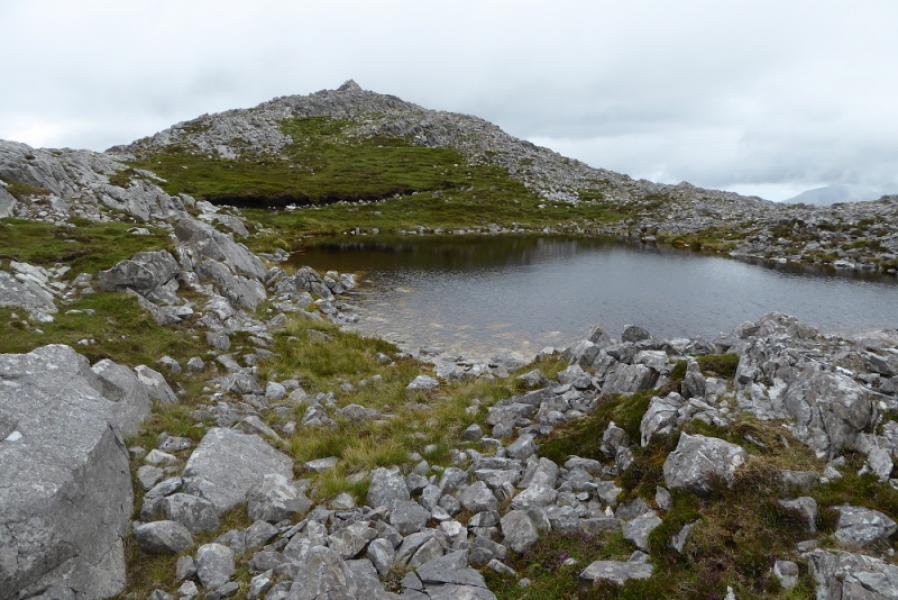
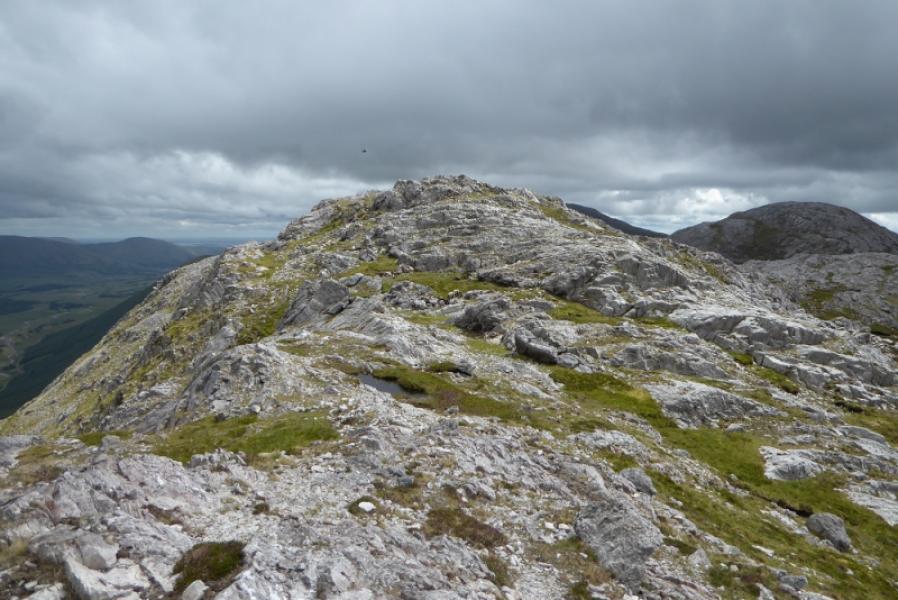
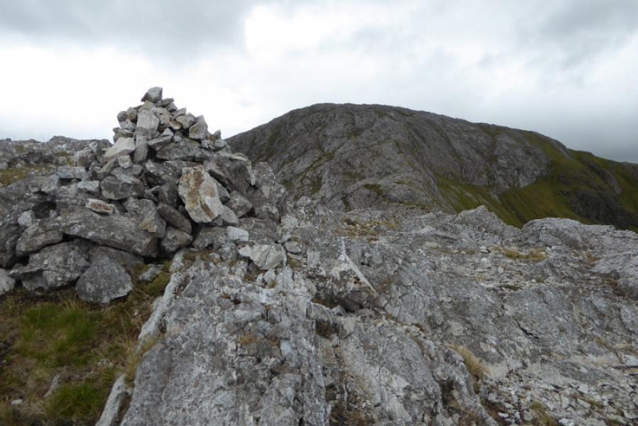
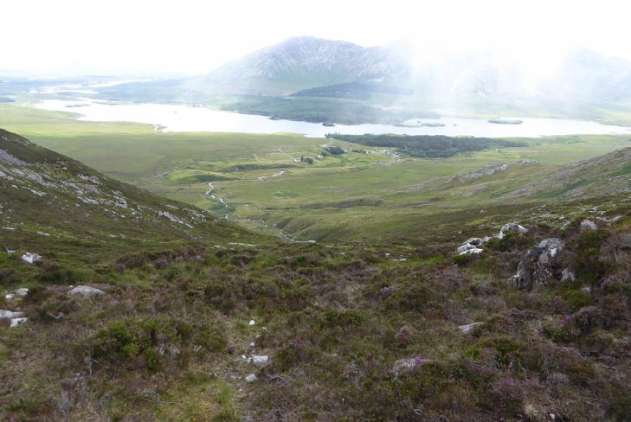
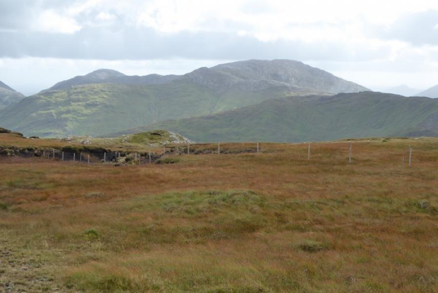
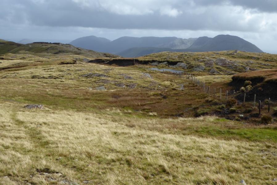
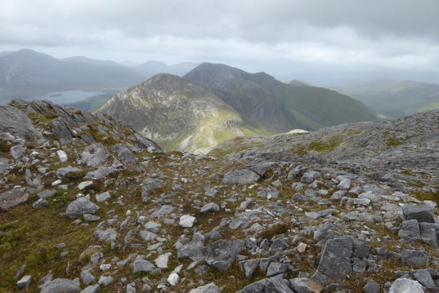
(1) Set off N along the Western Way. Cross the first two bridges then leave the Western Way and start picking a way up the S “ridge”. Pass two low minor tops easily then start looking for grassy channels through the heather. As height is gained, the slope becomes steeper and more rocky but all difficulties are avoidable although there will need to be much weaving around. Eventually, the gradient eases and you will emerge somewhere on the summit area. The summit is the only substantial cairn and is above, NW, a lochan with other lochans around. This is the summit of Letterbreckaun, 667 m. There is a small cairn further W which is lower but gives good views across to the 12 Bens
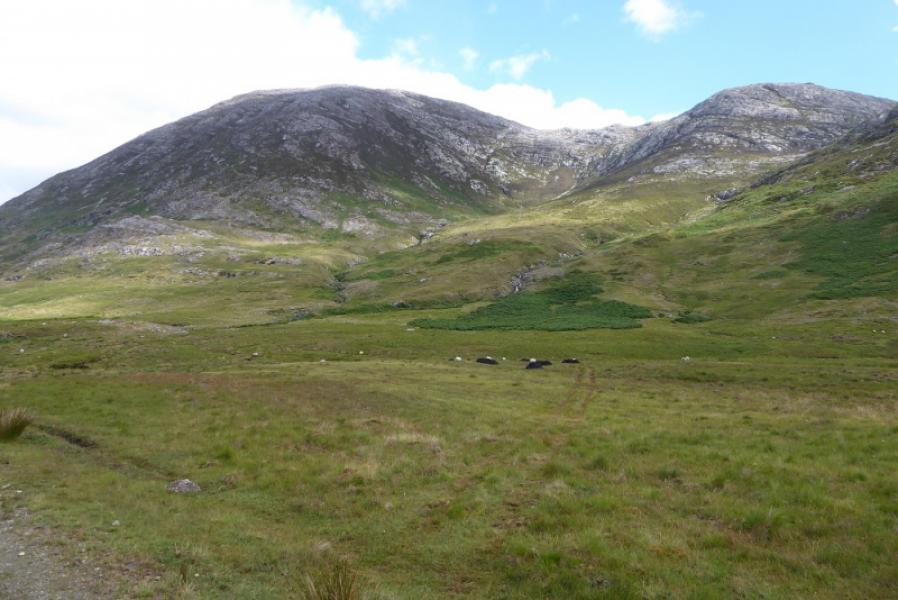
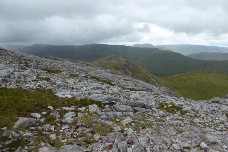
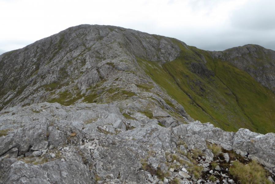
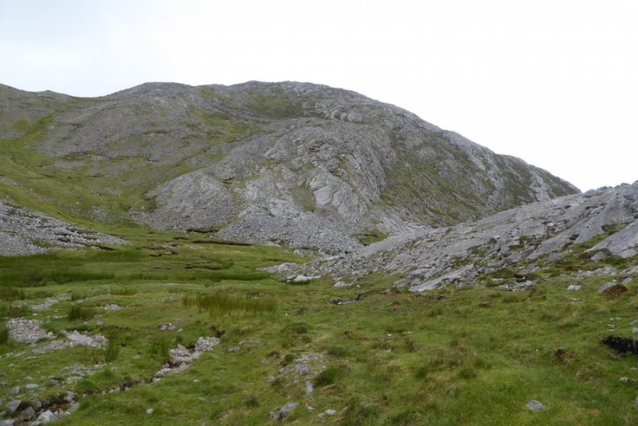
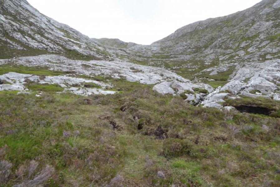
(2) Head slightly S of E across the bumpy plateau to reach a similar size cairn to the summit. This indicates the way down the ridge towards Knocknahillion. Go down to the first dip then up to the cairned minor top, Pt 558. Leave the crest here and start drifting SE down into a grassy corrie which may be boggy after rain. Pick up a stream and follow it down and round below Knocknahillion so you are now heading roughly SW. The stream is a good guide but has a waterfall so gradually drift right where there is easier ground. Continue down, being between the two prominent streams. Cross the one on the right as low as possible depending on how full it is then soon reach the Western Way. Turn left and soon reach the road.
Notes
(a) This walk took place on 16th July, 2018.
Photos - Hover over photo for caption. Click on to enlarge. Click on again to reduce.