Get Lost Mountaineering
You are here: Scotland » 01 South of Oban to Stirling and Fife » Ben Lomond, Crianlarich, Balquidder and Trossachs
Ben More (direct) & Stob Binnein from Benmore Farm
Ben More (direct) & Stob Binnein from Benmore Farm
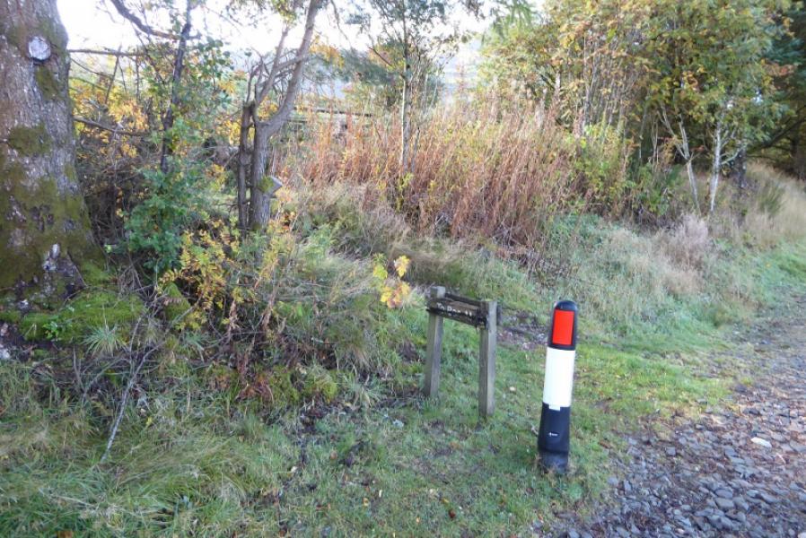
Start/Finish
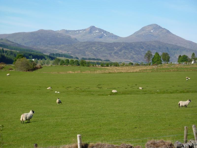
Long “layby” just to the east of Benmore Farm which is about 2 miles east of Crianlarich on the A85. Portnellan lodges are nearby. The “layby” is not that deep and is mainly railway type gravel.
Distance/Time
12 km. About 6 – 7 hours.
Peaks
Ben More, 1174 m, NN 432 244.
Stob Binnein, 1165 m, NN 434 227. OS sheet 51.
Introduction
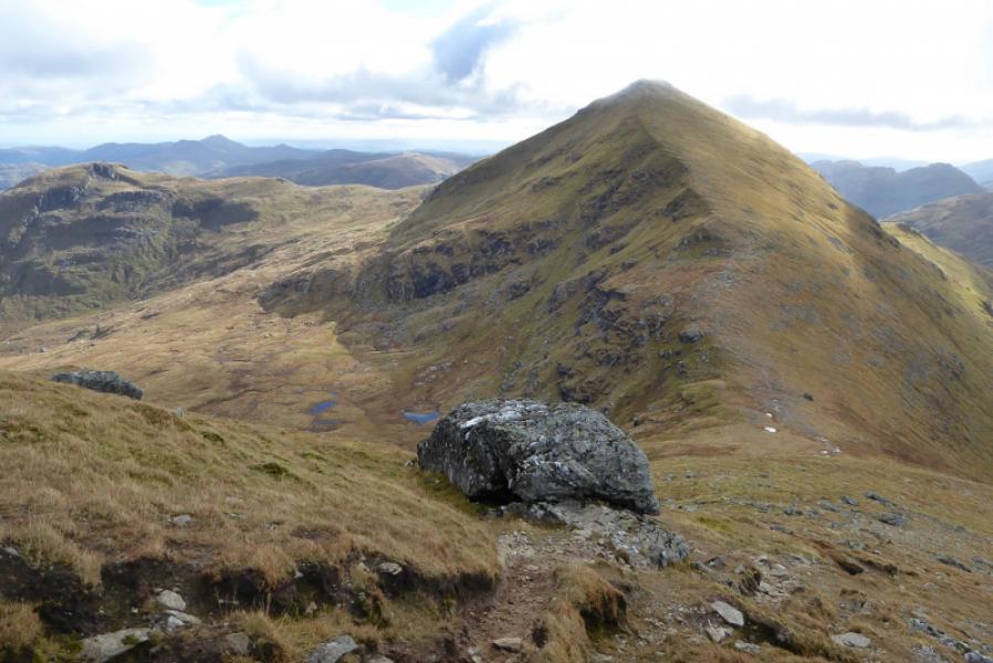
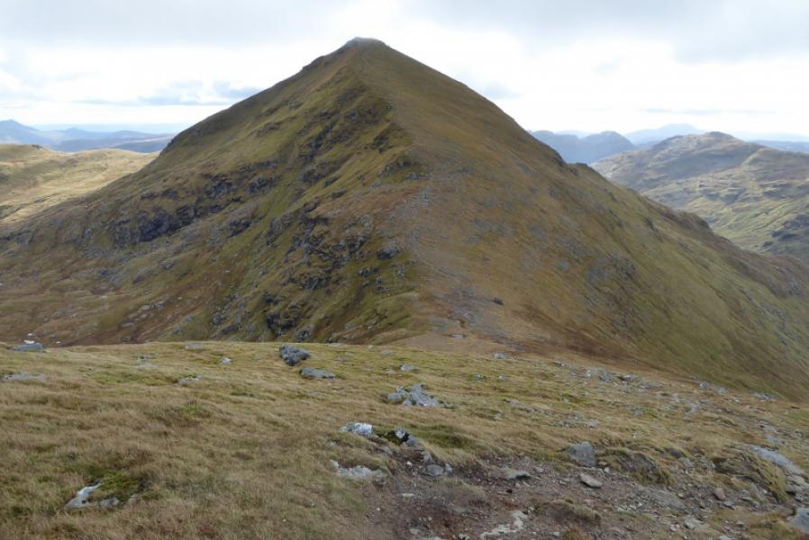
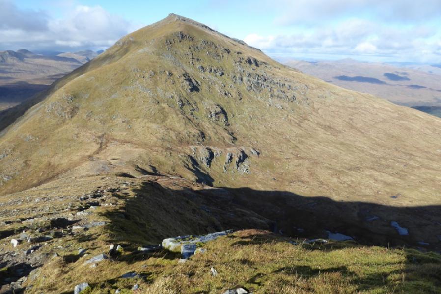
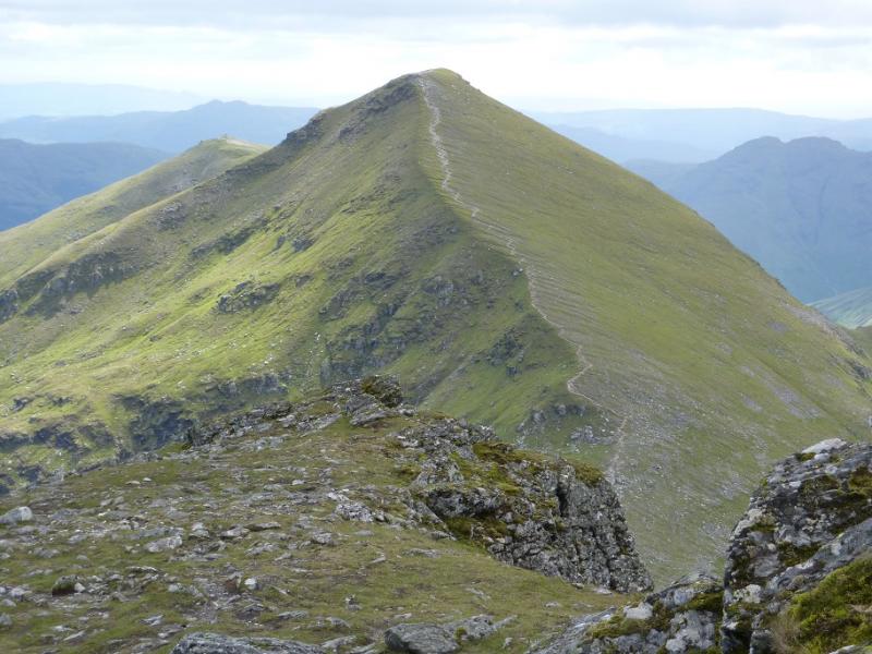
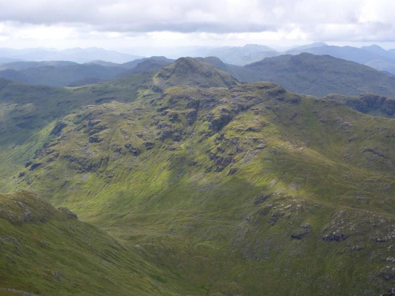
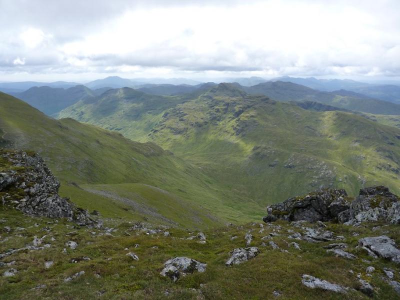
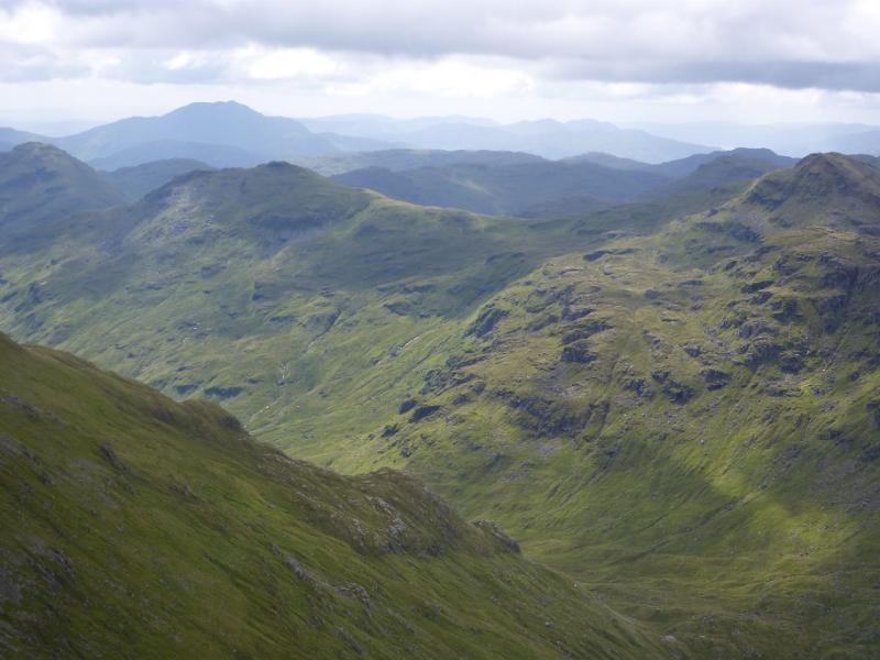
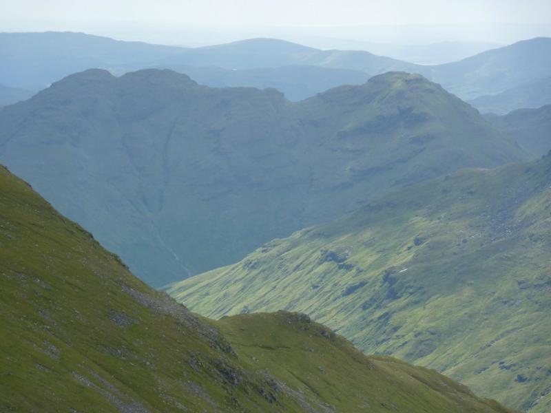
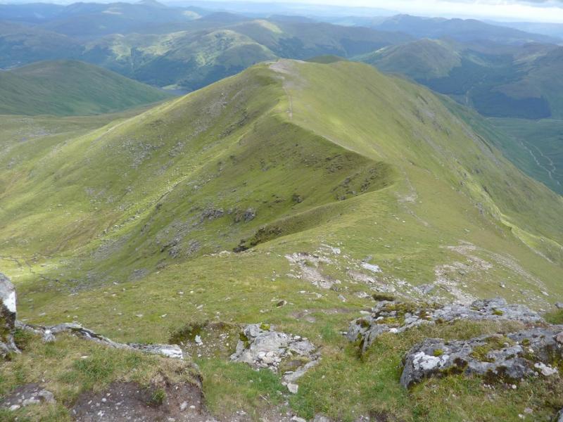
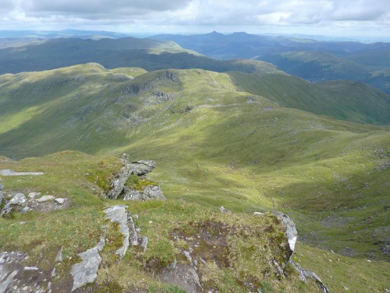
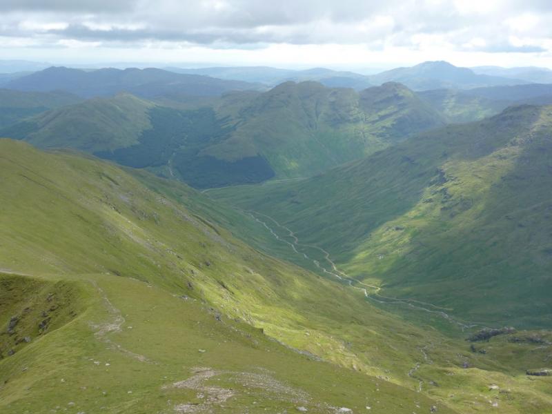
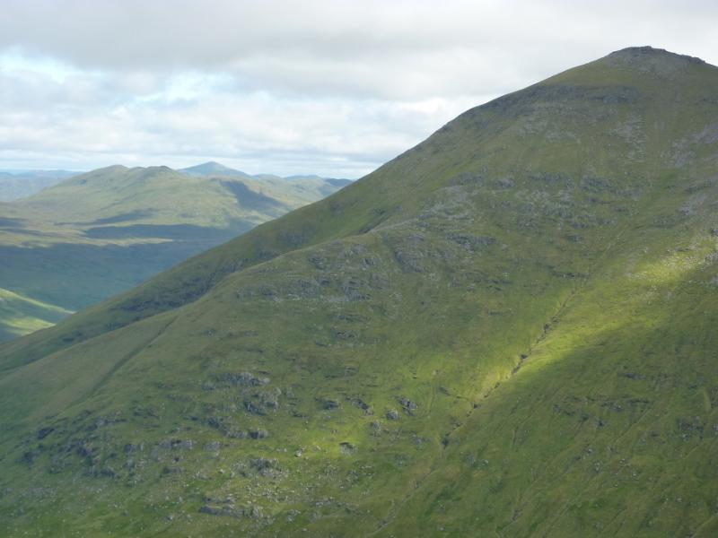
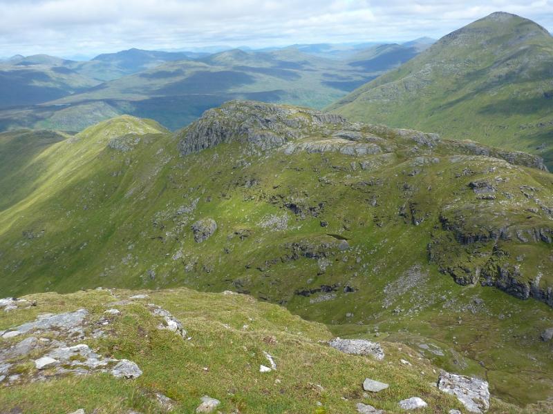
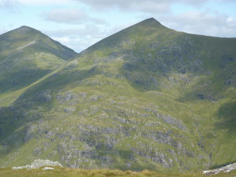
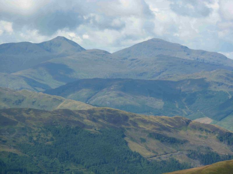
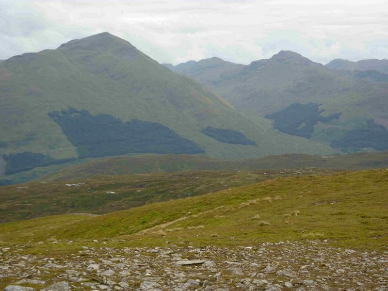
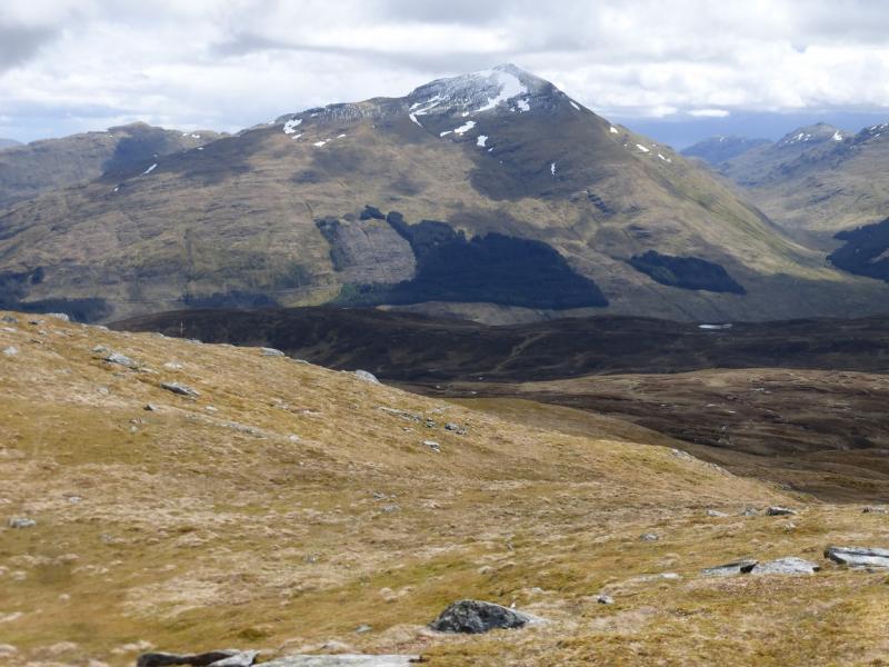
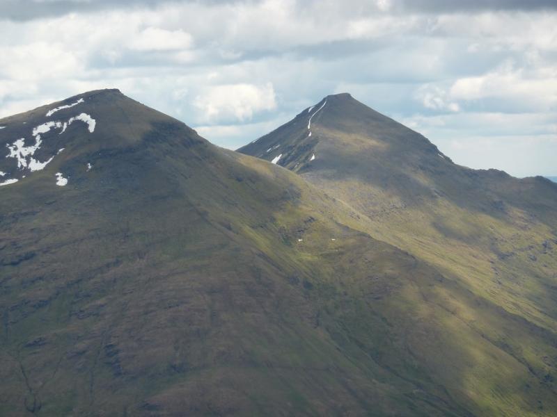
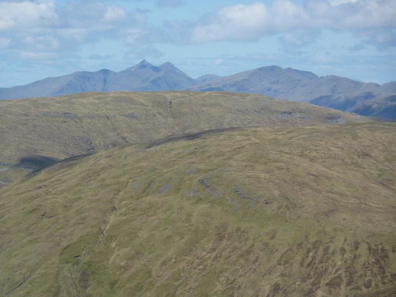
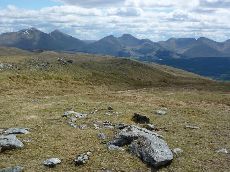
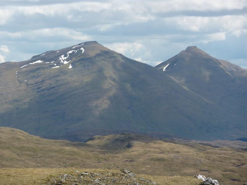
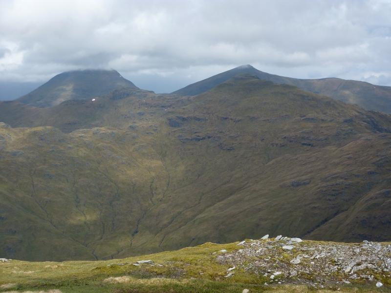
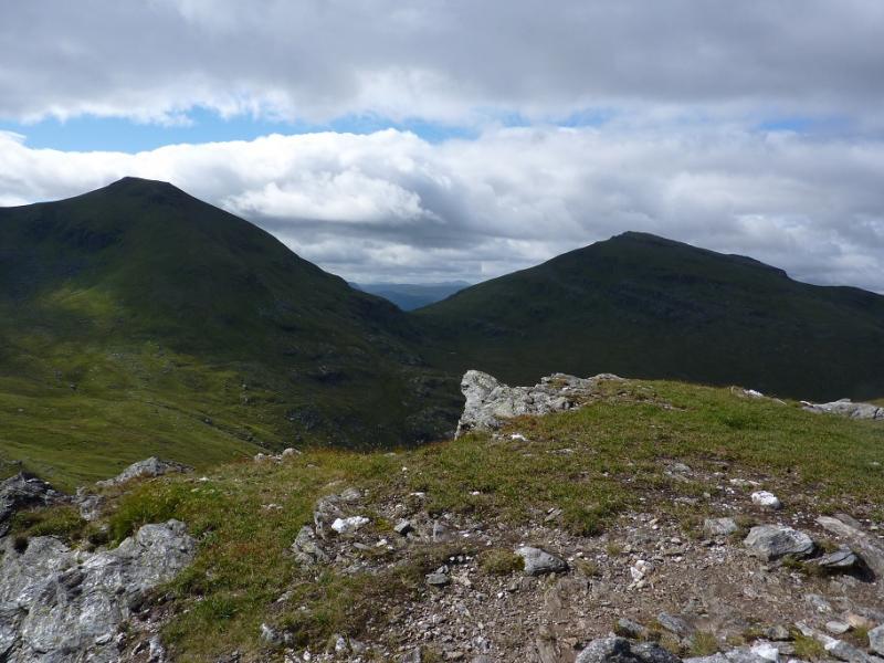
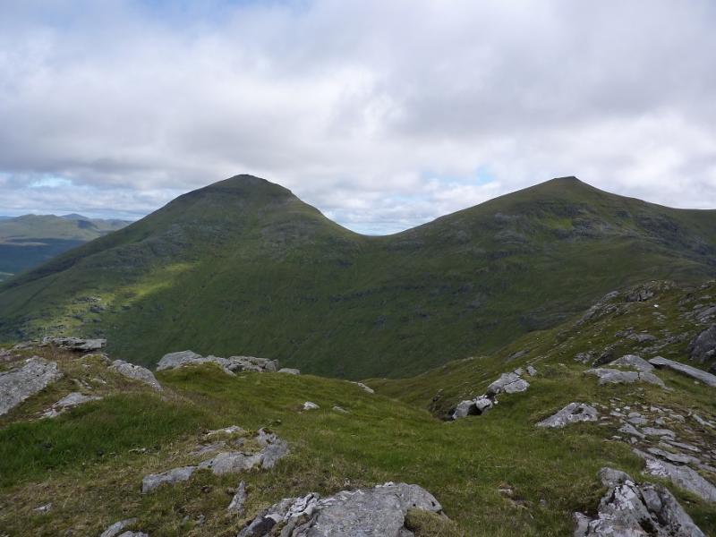
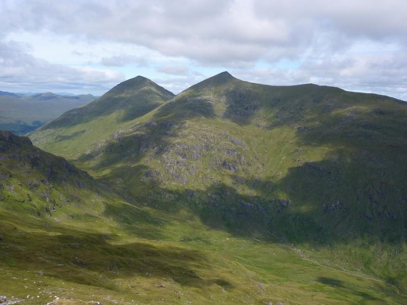
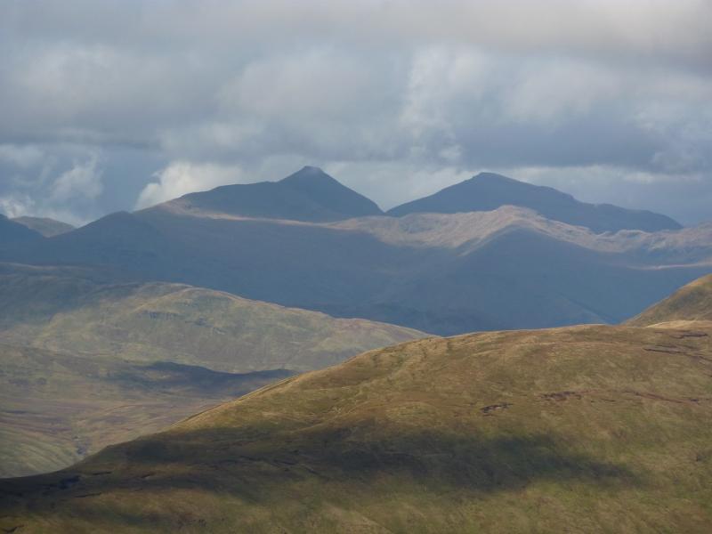
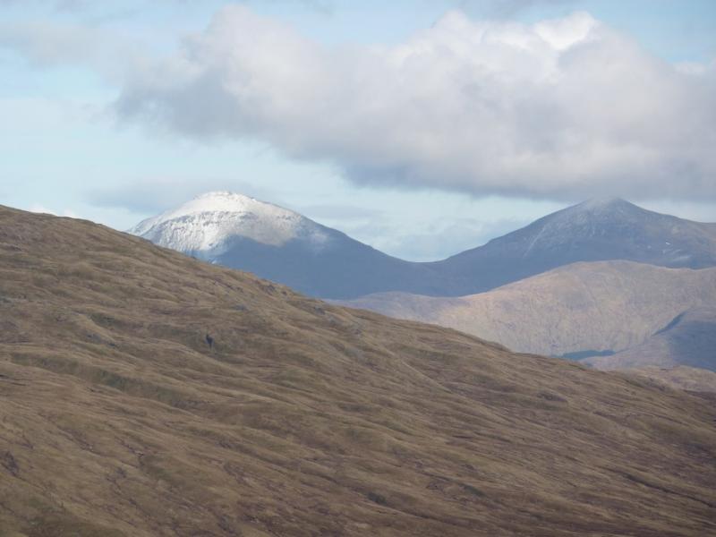
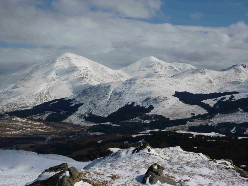
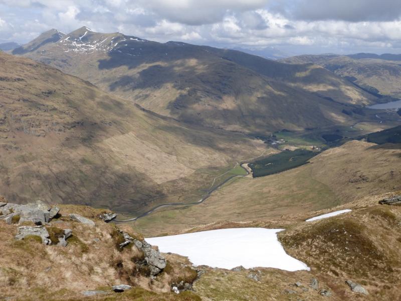
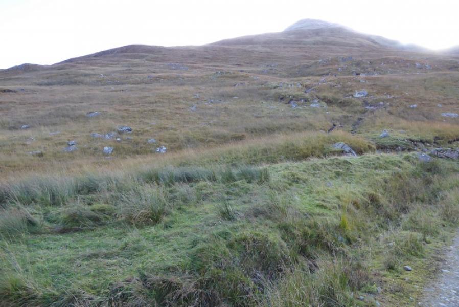
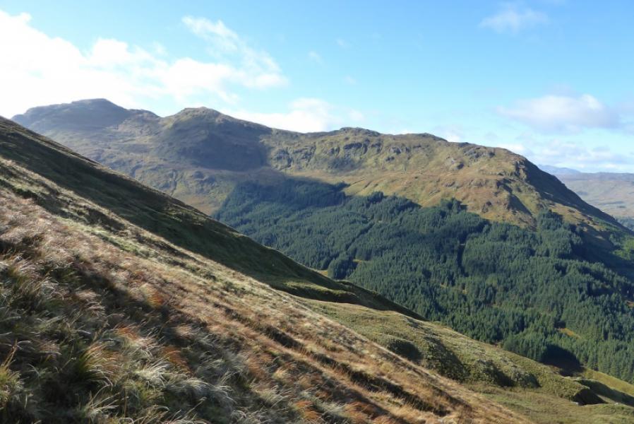
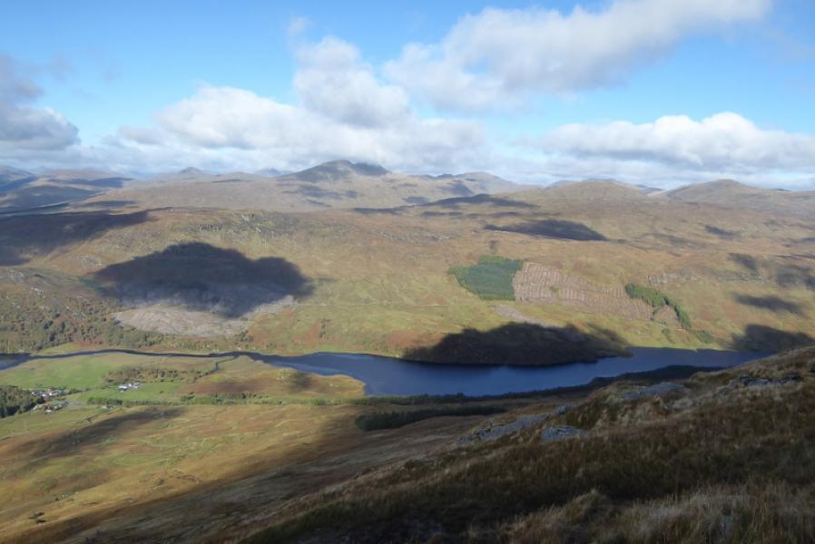
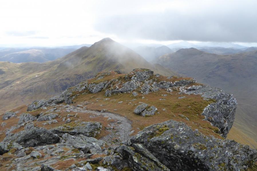
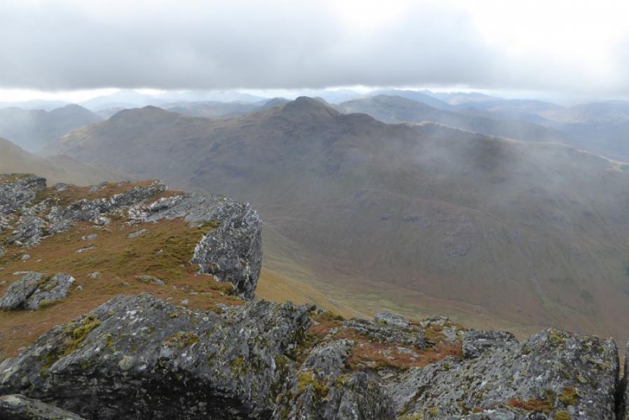
This is a tough route as it goes straight up the front of Ben More using a path which is only for the very experienced in winter conditions. Ben More and Stob Binnein are twin mountains and have a distinctive profile so can easily be identified from neighbouring hills. Being so high, makes them excellent viewpoints especially to the Crianlarich hills but Ben Challum and Ben Lui can also be seen from them.
Route
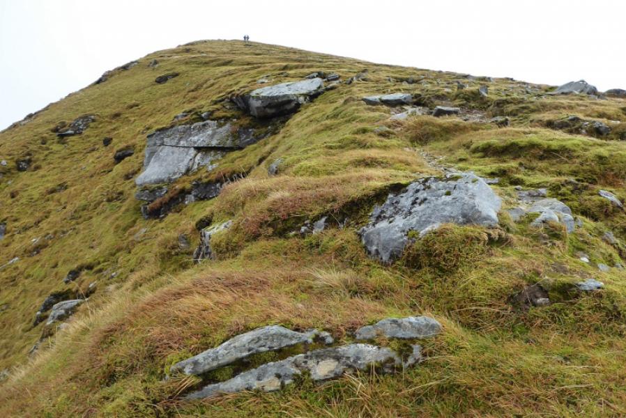
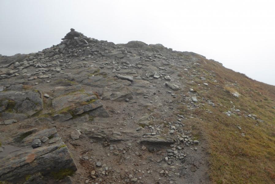
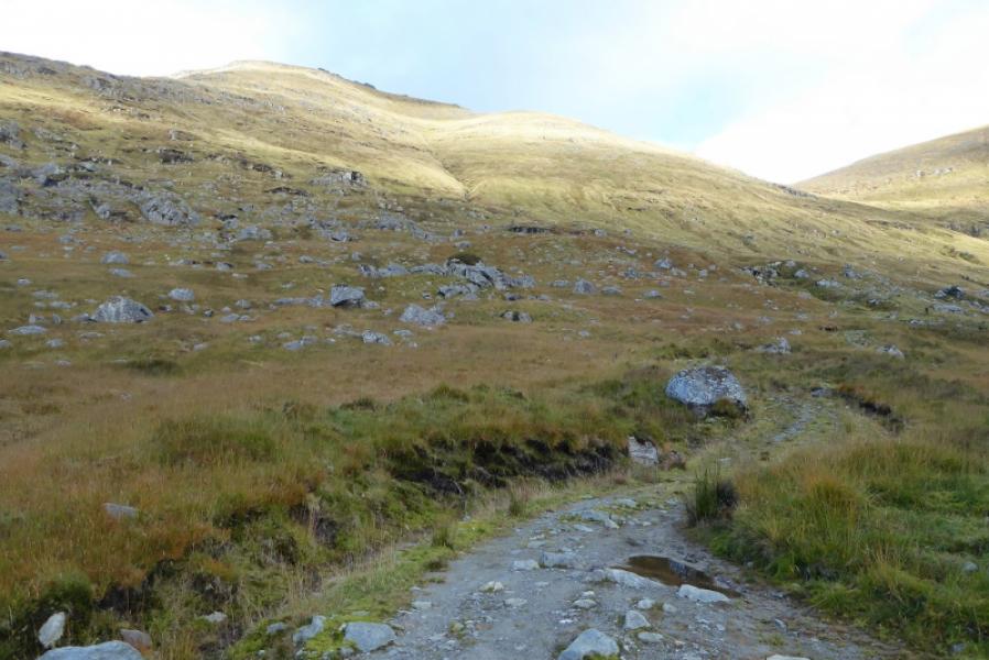
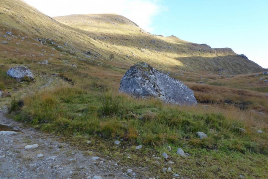
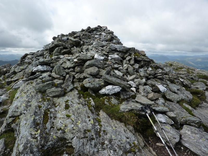
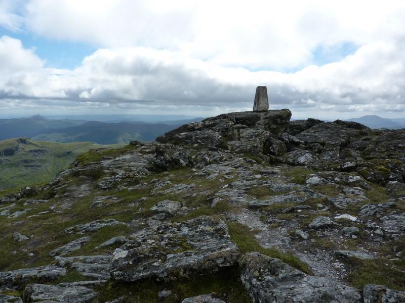
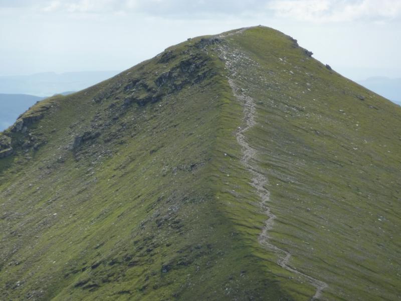
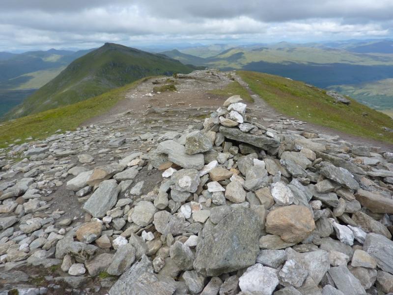
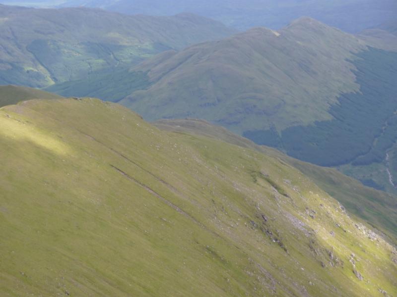
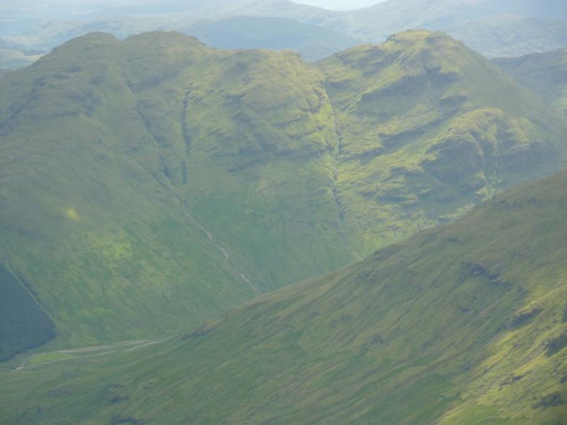
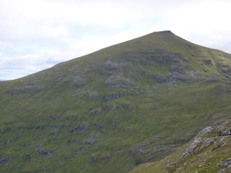
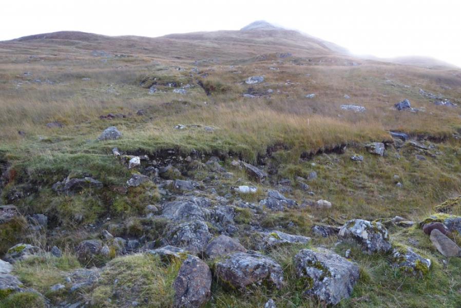
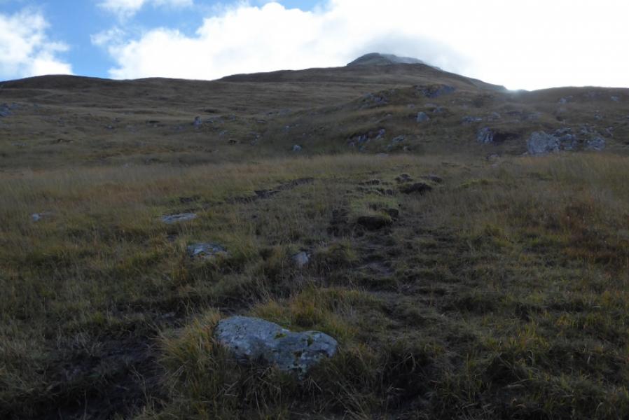
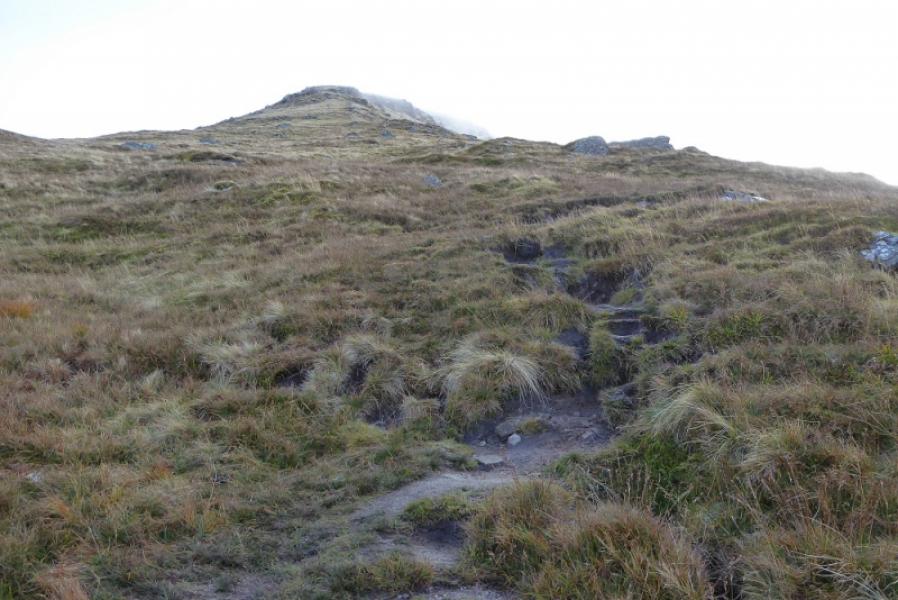
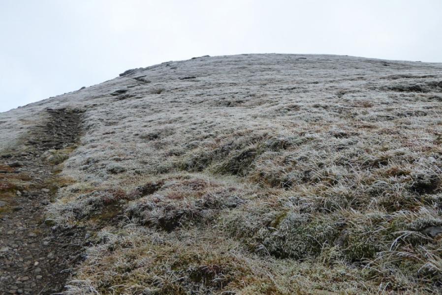
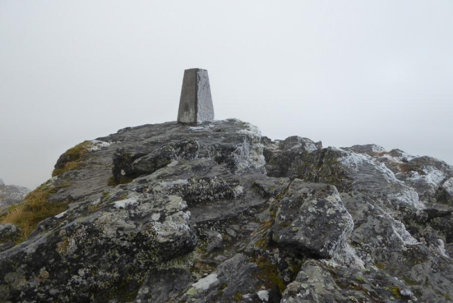
(1) A small sign at the western end of the “layby” directs one onto a short path which soon joins a track. Turn left and follow the track as it winds uphill. After passing through a gate, with a stile, the path starts about 10 m further on and head directly up the flank of Ben More. On 6/10/18, there was a cairn about 25 m further and lots of stone bags suggesting that a better path was going to be constructed sometime in the future so bear in mind that the location of the path may change. Follow the often muddy path up the fairly steep slope. The gradient is unrelenting for most of the way but eases a little when the path swings over to the east side of the mountain before picking its way up towards the summit.When the gradient finally eases, the small summit plateau is reached where there is a large cairn and a trig point about 20 m apart which mark the summit of Ben More, 1174 m, It is difficult to tell, on the ground, which point is the higher, but one assumes it is the trig point.
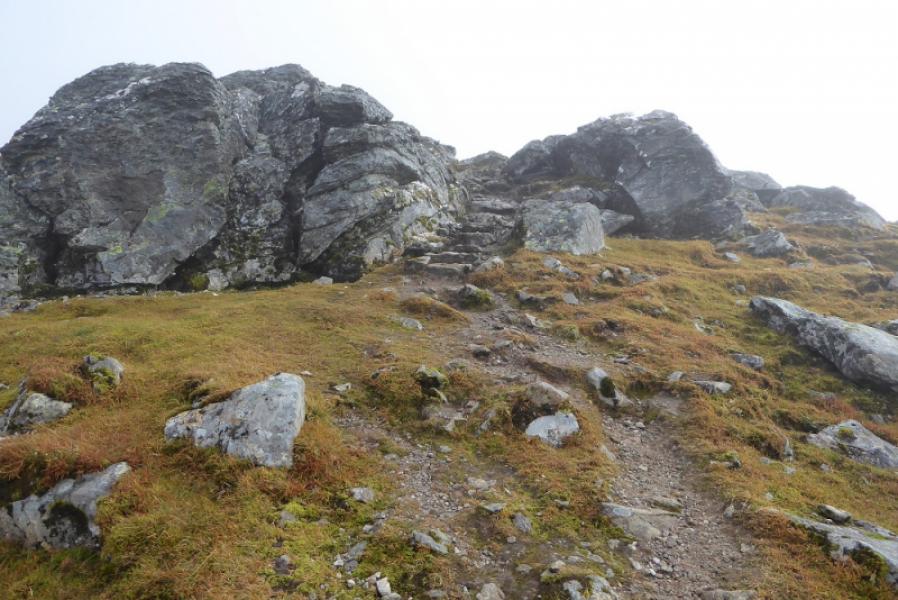
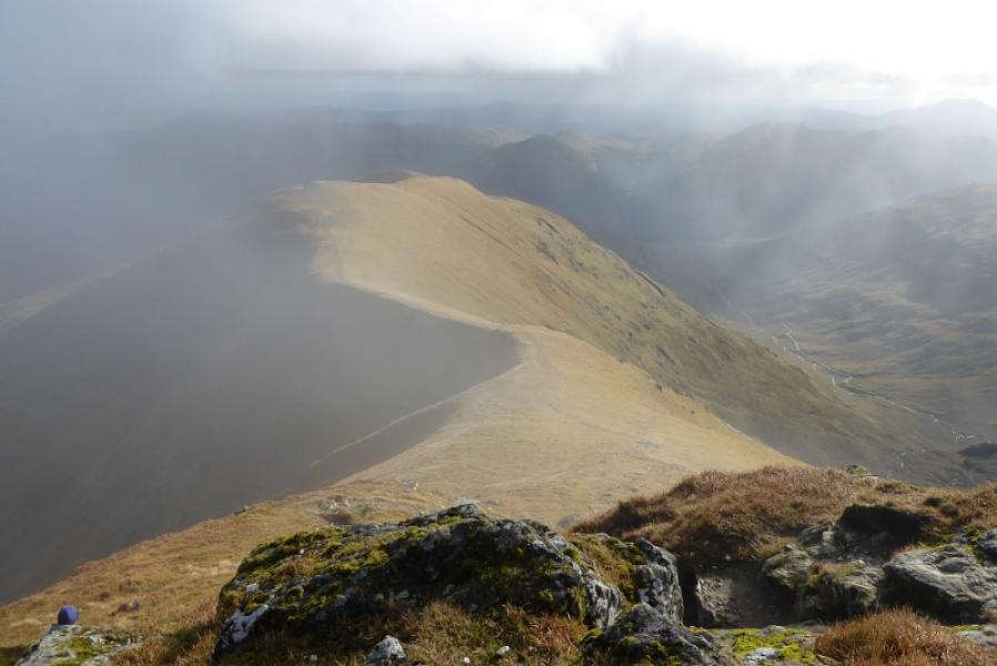
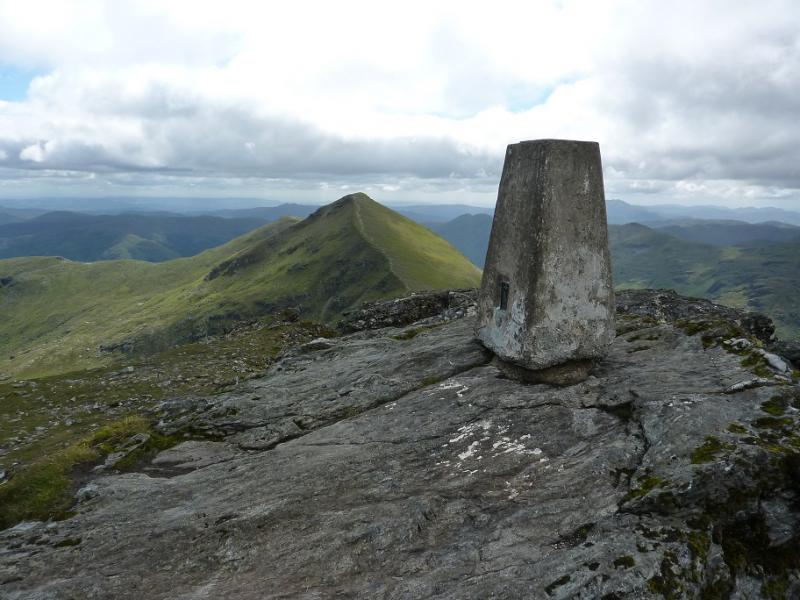
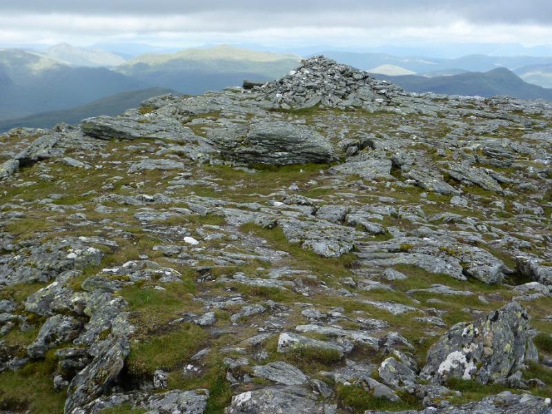
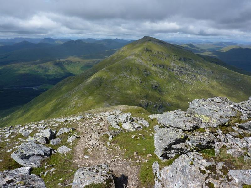
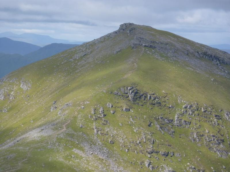
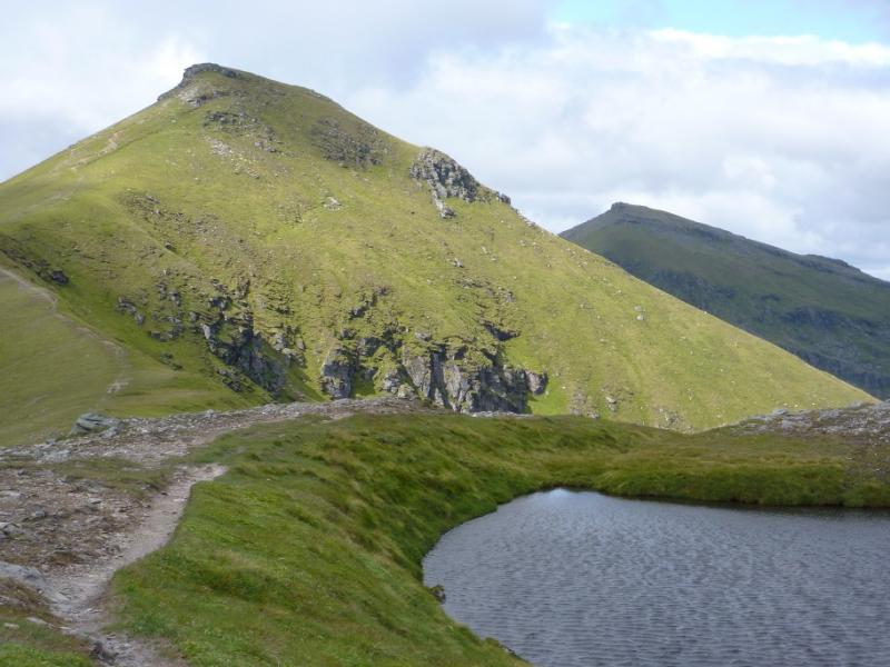
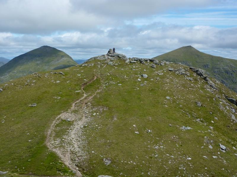
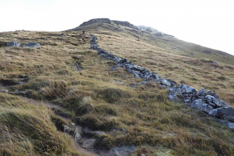
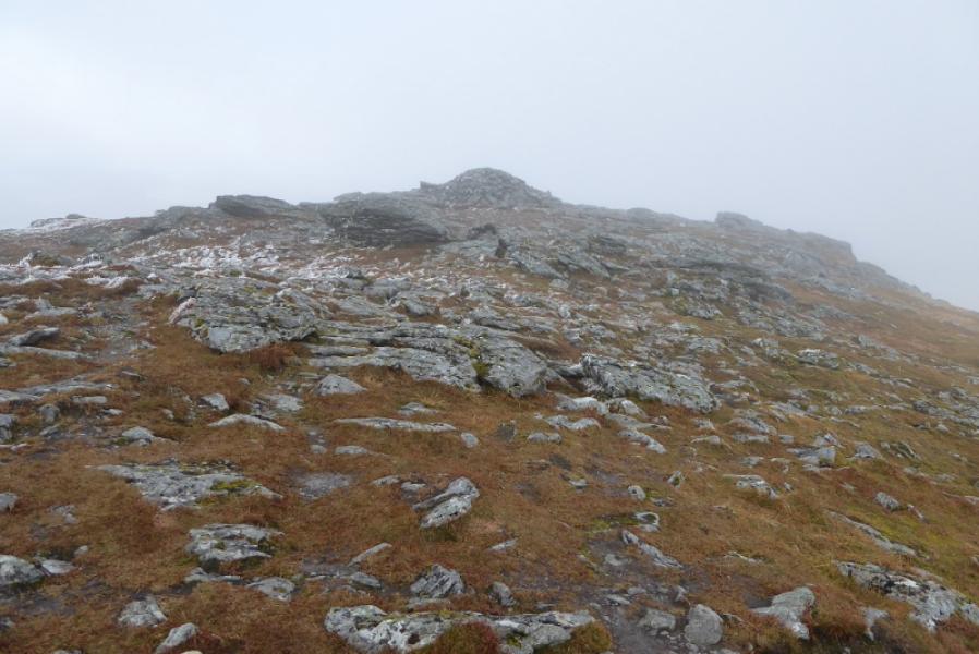
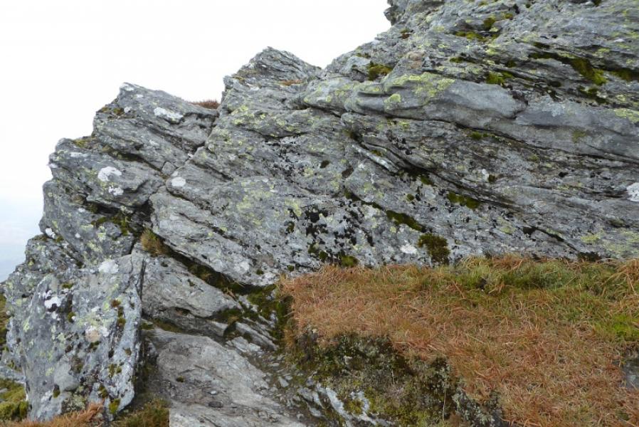
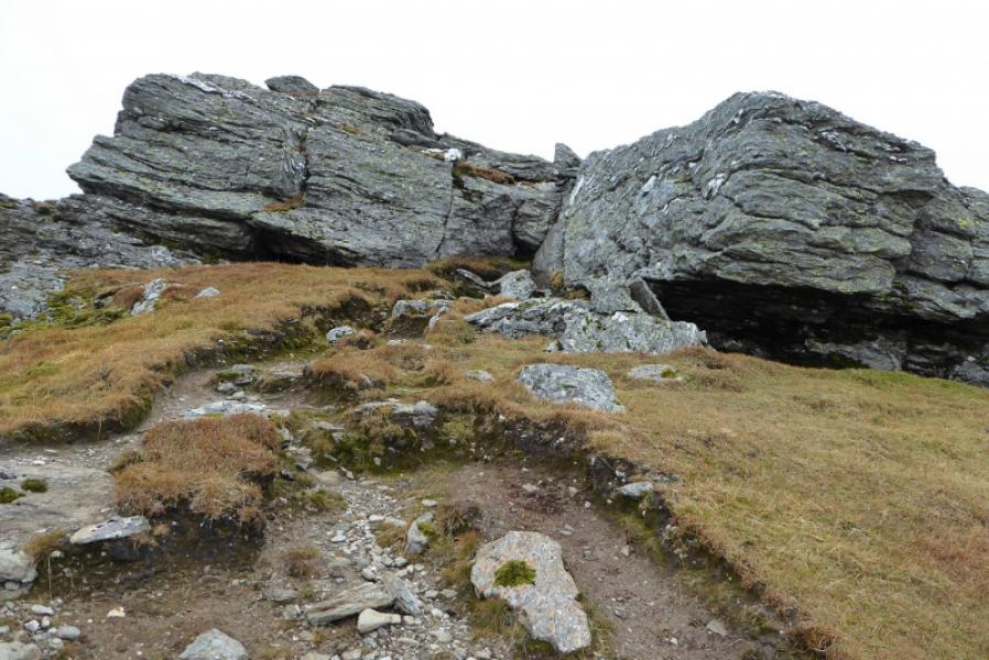
(2) Descend, roughly S, on a good path which leads down into the well defined bealach between Ben More and Stob Binnein. There is a short easy rock step, en route, which can easily be avoided by a short detour to the left, E. The good path continues up, steeply in places, before going between some rocks (no difficulties) to emerge on the summit plateau where there is a medium cairn which marks the summit of Stob Binnein, 1165 m.
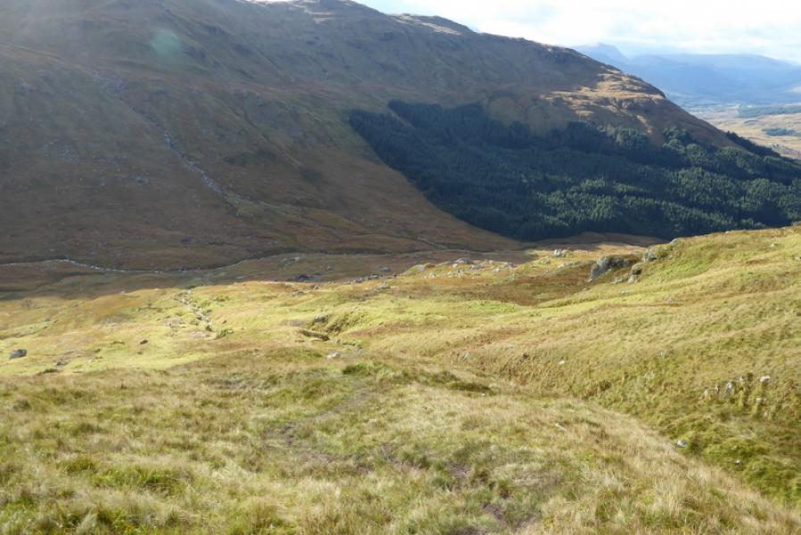
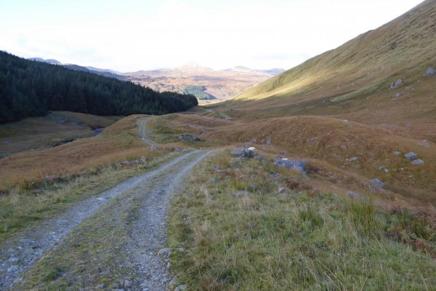
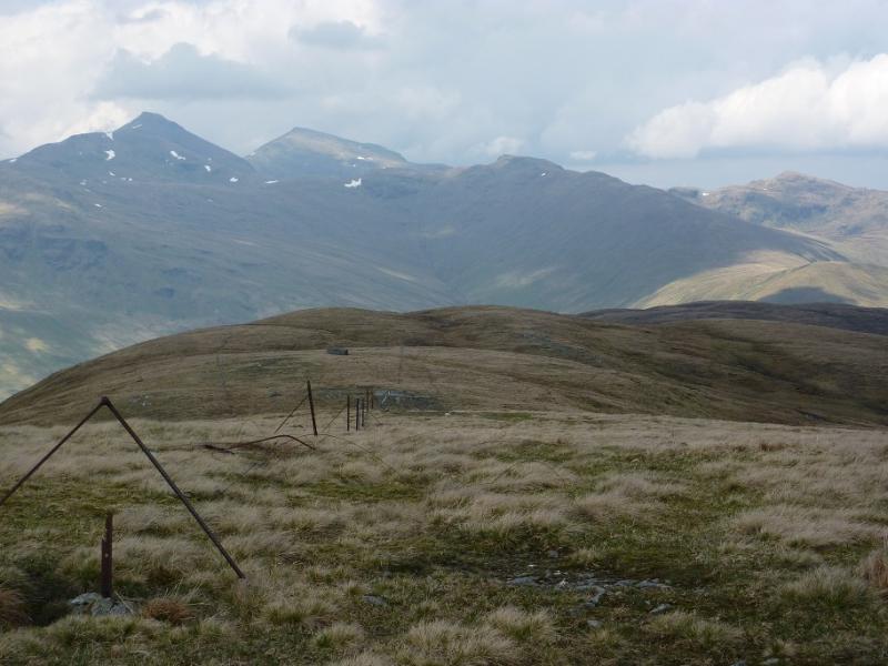
(3) Retrace to the bealach then look for a path traversing off left just beyond the middle of the bealach. This can be wet and boggy in places but it does take one down to the end of the track used at the start. Generally, the path makes a descending traverse before following a stream down to the end of the track. Follow the track N back to the start.
Notes
(a) This walk took place on 6th October, 2018.
(b) This route would be a very serious undertaking in winter conditions and ice axe and crampons would be essential. There have been many casualties on Ben More in winter.
(c) Some additional archive photos were added in August, 2021.
Photos - Hover over photo for caption. Click on to enlarge. Click on again to reduce.
.JPG)