Get Lost Mountaineering
You are here: Ireland » South West » Iveragh Peninsula
Purple Mountain Range anti-clockwise
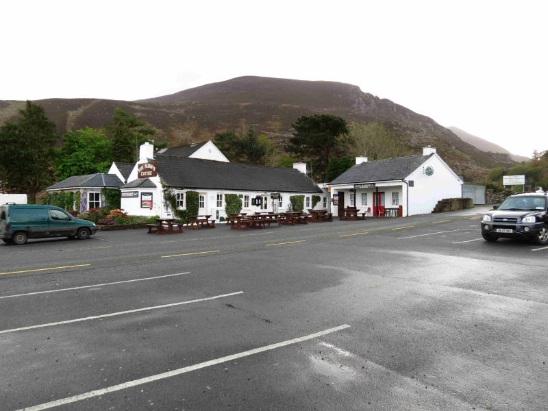
Purple Mountain, Shehy Mountain, An Chathair & Tomies Mountain anti-clockwisefrom Kate Kearney's Cottage
Start/Finish
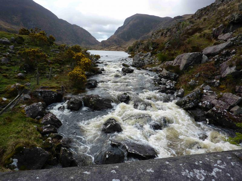
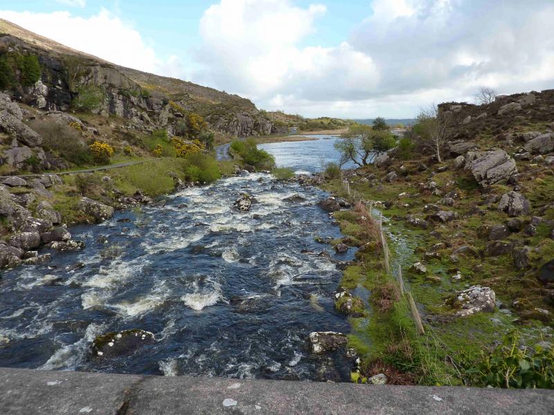
Large, free, car park opposite Kate Kearney's Cottage, a pub, in the Gap of Dunloe which is signposted off the N72 Killorglin road to the west of Killarney
Distance/Time
18 km Approx 7 hours
Peaks
Purple Mountain, 832 m, V 887 852 (Irish National Grid System)
Shehy Mountain, 762 m, V 902 857.
An Chathair, 735 m, V 895 868.
Tomies Mountain, 568 m, V 891 874.
Irish OS Discovery Series Map 78 (1:50000)
Irish OS Macgillycuddy's Reeks (1:25000)
Introduction
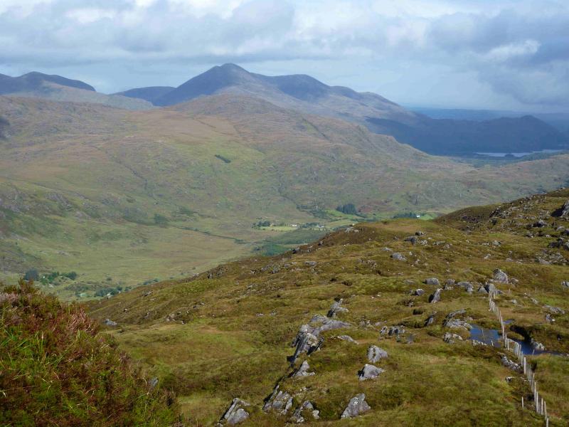
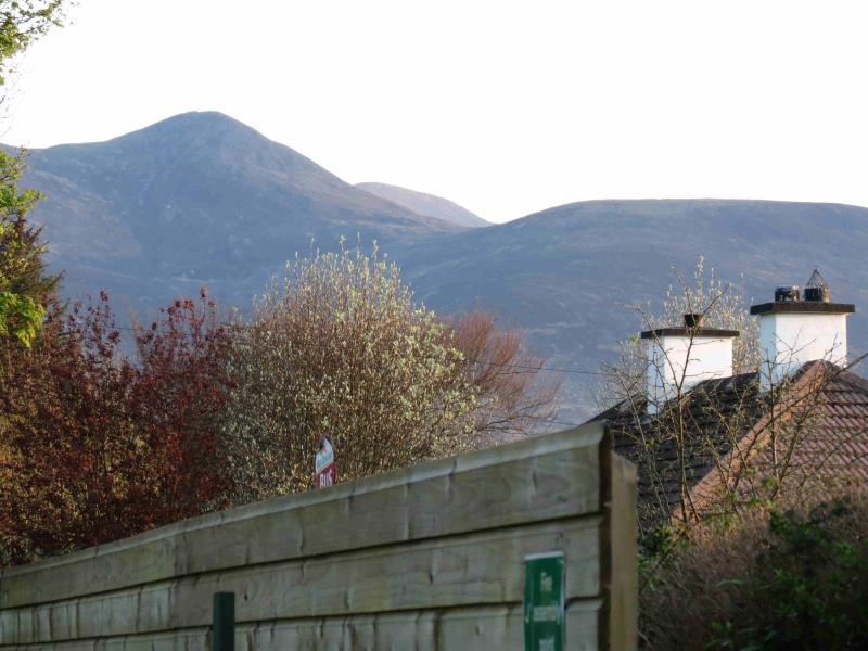
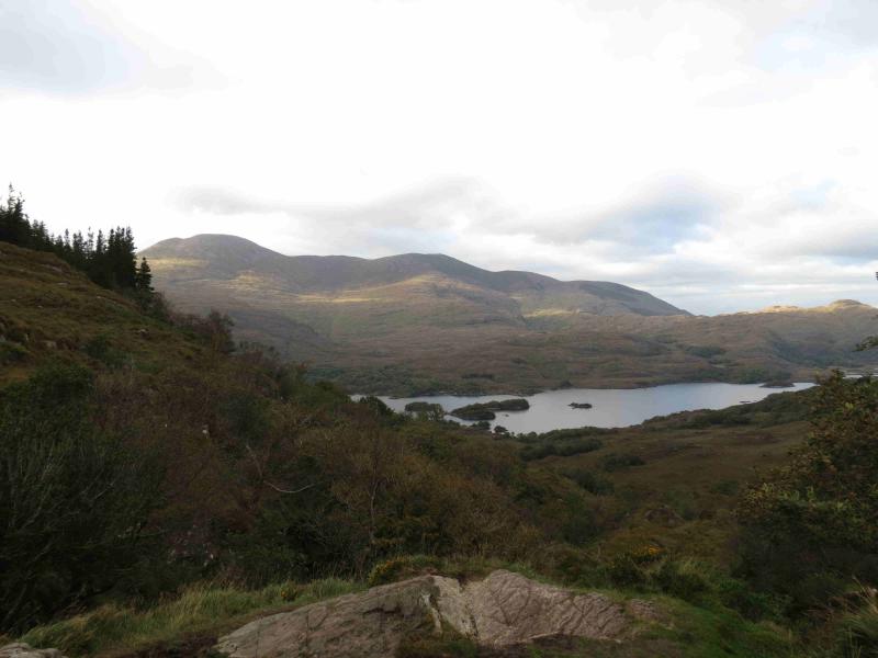
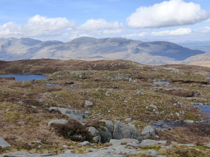
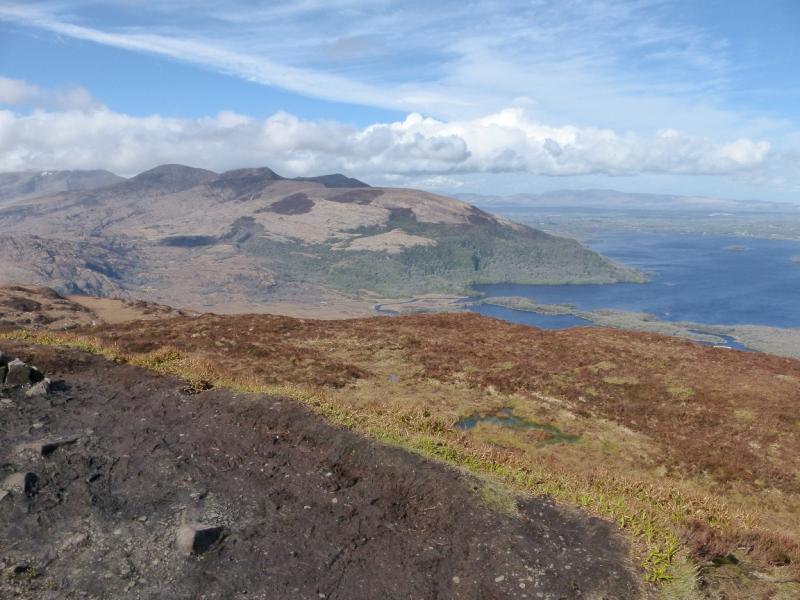
These hills dominate the SW side of Lough Learne and are well seen from Killarney. They are quite rough hills and the paths can often be boggy. They offer fine views over Killarney's Lakes to the east and to Macgillycuddy's Reeks to the west with the Maolan Bui to Cruach Mhor ridge being very prominent. Navigation is relatively straightforward although the descent from Tomies Mountain would need some care in mist. If you need to, you should be able to easily reset your GPS to the Irish National Grid System. It should be noted that there are some naming discrepancies between the 1:50000 map and the 1:25000 map. The peaks above have been named from the 1:25000 map. On the 1:50000 map, An Chathair is named as Tomies Mountain and some guide books refer to An Chathair as Tomies S Top. On the 1:25000 map, Tomies Mountain is shown further north, and lower, than on the 1:50000 map.
Route
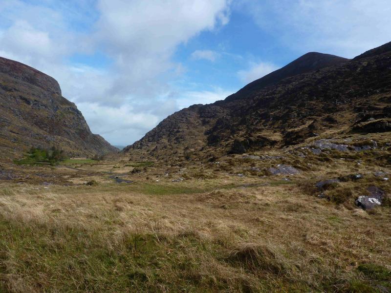
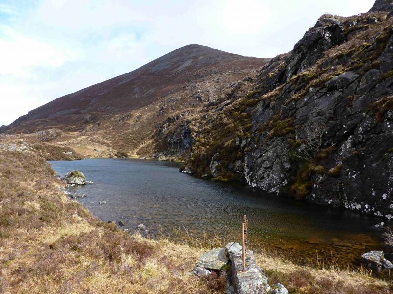
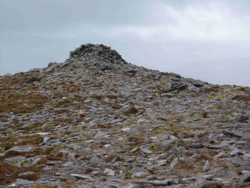
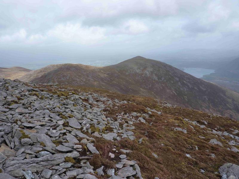
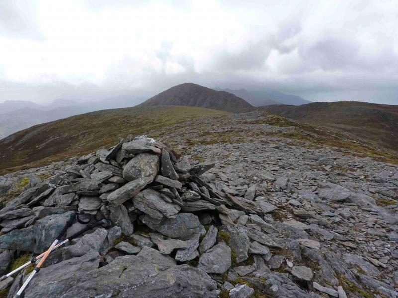
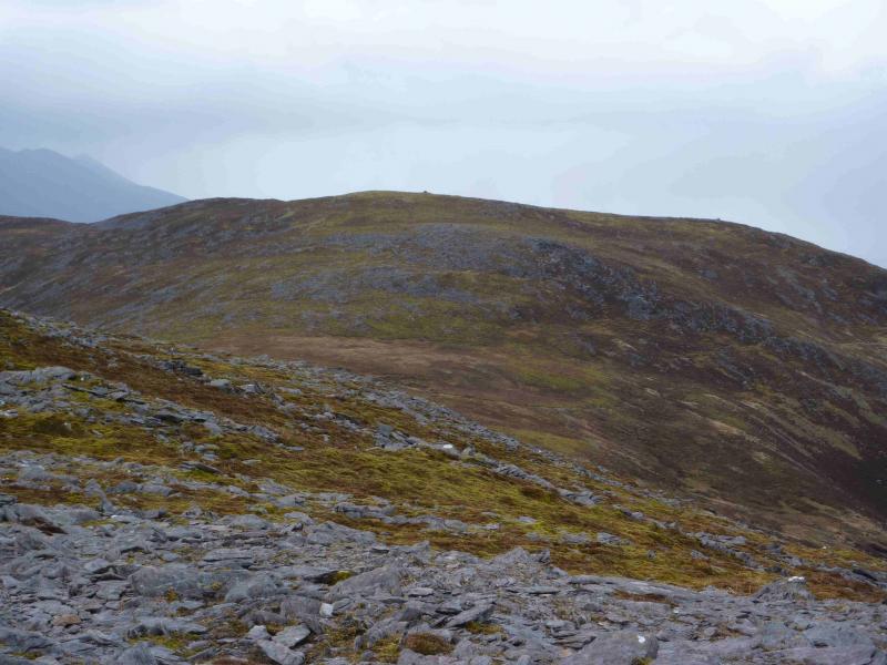
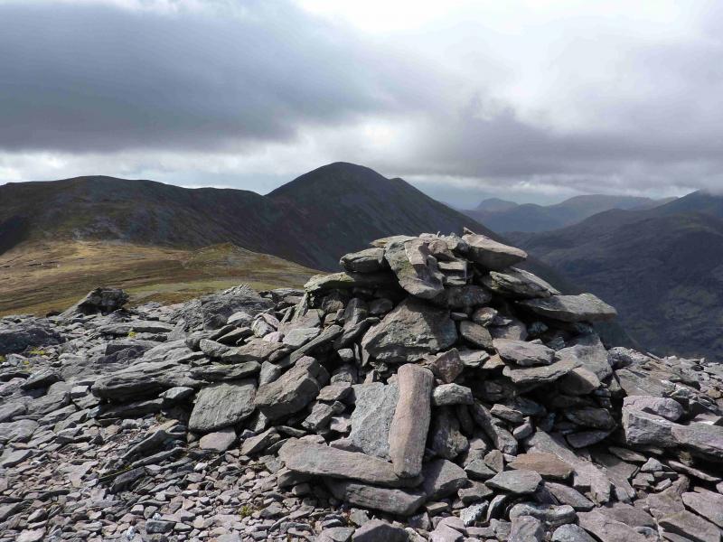
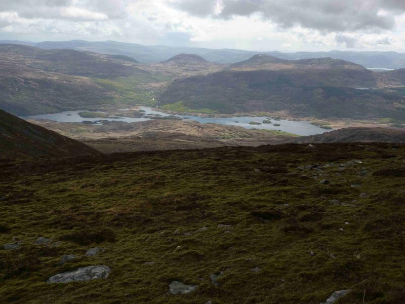
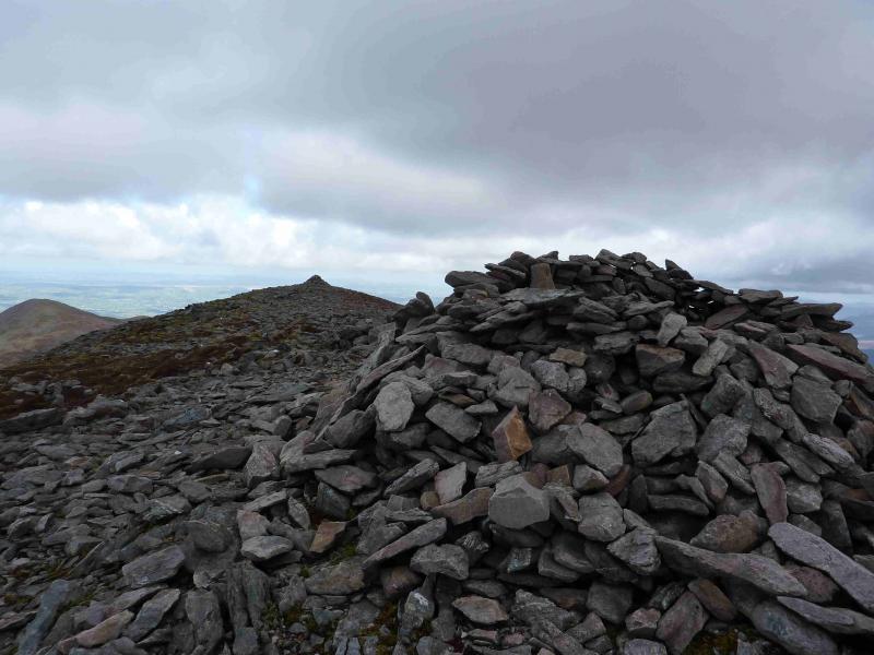
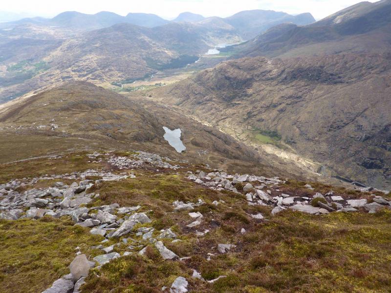
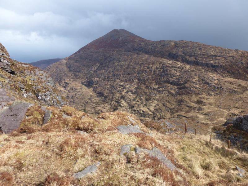
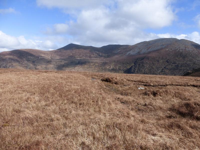
(1) From the car park, walk up the scenic Gap of Dunloe road to the head of the gap which is just above some hair pin bends. There is a concrete topped wall on the right. On the left is a path which heads up the hillside to reach the stream flowing out of Glas Lough. Alongside the stream are the remains of a wall. The path is stony in places and muddy in other places. Reach the scenic Glas Lough. The path passes on the W side before climbing up on to the crest which leads to Purple Mountain. Higher up, there is a choice of paths which may be useful if the weather is wild – not uncommon here! Reach the summit plateau which runs SW – NE. There is a large shelter cairn which marks the summit of Purple Mountain, 832 m. There is another cairn, of similar height, a little further along.
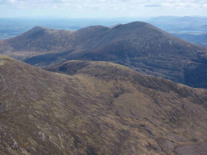
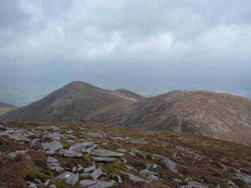
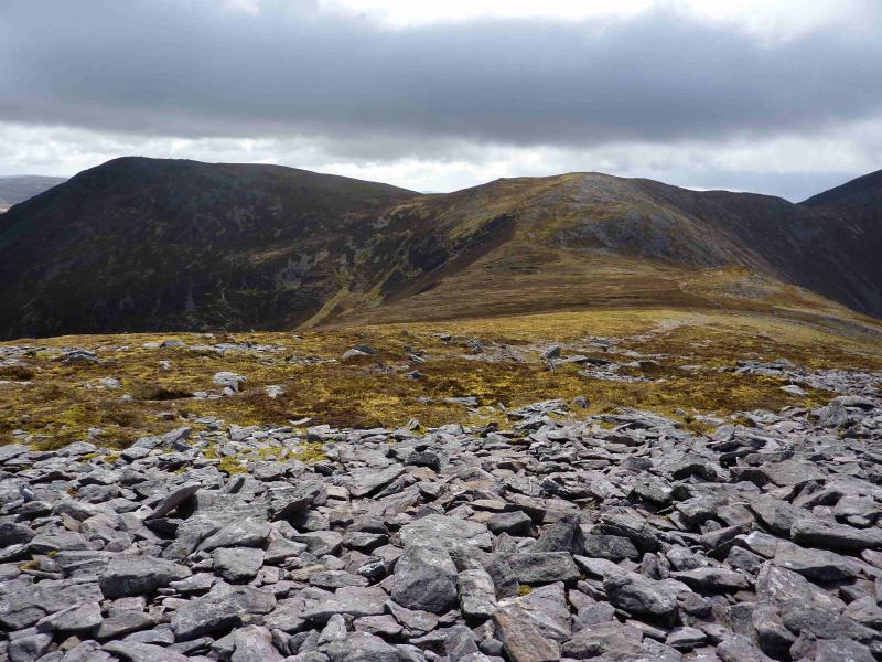
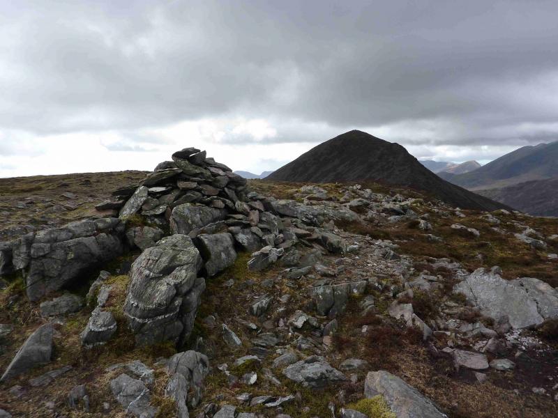
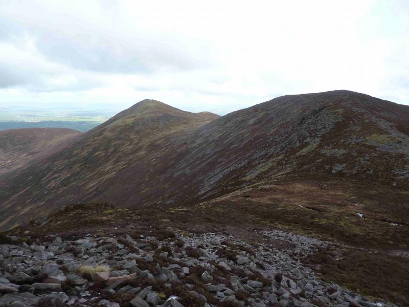
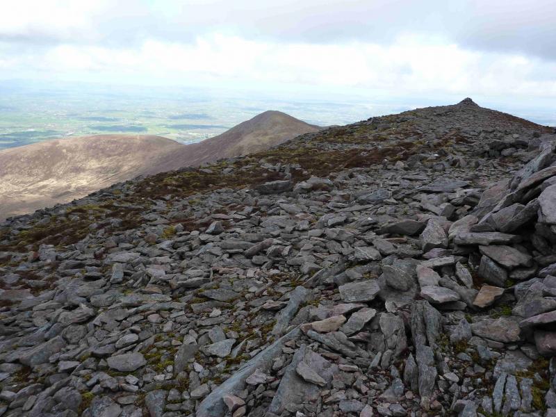
(2) Descend roughly NE on a path, stony in places then ascend slightly to reach the cairn on Pt 757 which some guide books call Tomies Mountain S Top. Descend SE down gentle, stony, slopes to cross a broad stony dip then ascend SE then NE to reach the medium cairn which marks the summit of Shehy Mountain, 762 m. There are occasional cairns on the way. A short distance beyond the summit is a smaller cairn from which there are excellent views over Killarney's Lakes.
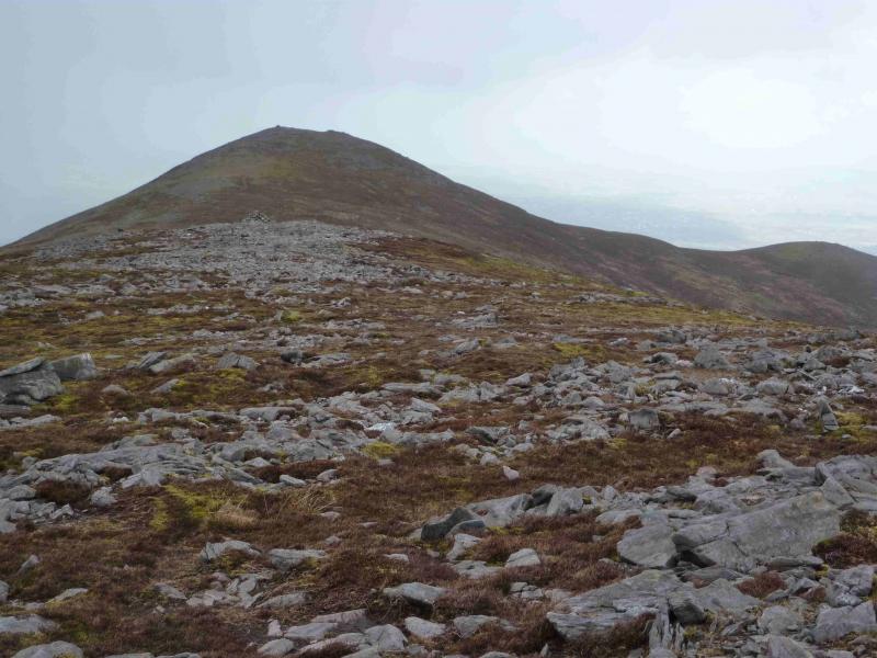
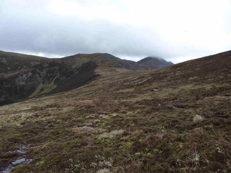
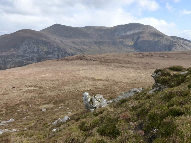
(3) Retrace towards Pt 757 which can be traversed on its NE flank to rejoin the main ridge and the path. Follow this, roughly N, to reach the medium cairn which marks the summit of An Chathair, 735 m which is called Tomies Mountain on the 1:50000 map and also in some guidebooks.
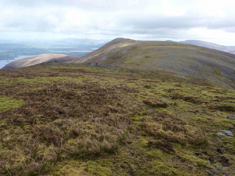
(4) Descend NNW with occasional paths into a broad col before a short ascent leads to Tomies Mountain, 568 m which is the name on the 1;25000 map only.
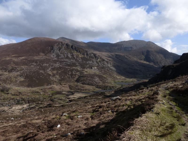
(5) Descend roughly NNW down rough heathery slopes with little in the way of paths. In clear weather, the area around Kate Kearney's Cottage will be visible but do not aim directly for it as one will end up fording a deep river! Instead look for a green area with gorse bushes beyond which is a shed with a green corrugated iron roof. This is the so called “green shed”. Where the gorse bushes start, there is a path on the left of a high deer fence. There is a more obvious path on the other side of the fence but no sign of a stile! Stay on the left of the fence. The path picks a way through the gorse and just about at the shed (on the other side of the fence), one has to step over a low metal fence to reach a rough track. Turn left on to the track and follow it down to the road. Lower down, a better track lies to the right behind a serious barbed wire fence. Once on the road, turn left and reach the car park in about 700 m.
Notes
(a) This walk took place on 17th April, 2012.
(b) Unless one is very familiar with the local terrain, do not attempt a more direct return to the road as there are many crags which are not shown on the map plus one will have to wade the river!
(c) The Fossa camp and caravan site, at V 910 923 is very good and very well situated for the Killarney mountains, especially Macgillycuddy's Reeks and Purple Mountain as it is only about 3 miles from Kate Kearney's Cottage. At Fossa, there are camping and caravanning facilities as well as a hostel and static trailer vans can also be hired. For campers, there are excellent showers (small extra charge) and there is a good campers’ kitchen with tables, sinks and cooking area if you have your own cooker and pans. Gas rings are available (small extra charge). There is also a TV room. Reception is open quite late in the high season and the staff are very helpful. A computer is available for hire and there is a freezer in reception. There is a bus stop outside the site for Killarney. There is a 24 hour Tesco which is off the northern bypass (turn right at 4th roundabout then right at next). Out of high season, it can be better for 2 people to rent a trailer van than to camp separately.
Photos - Hover over photo for caption. Click on to enlarge. Click on again to reduce.