Get Lost Mountaineering
You are here: Scotland » 10b Loch Eil to Glen Shiel » South of Loch Morar & Loch Arkaig
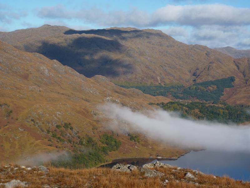
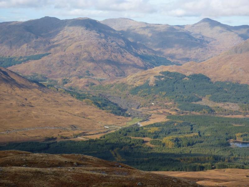
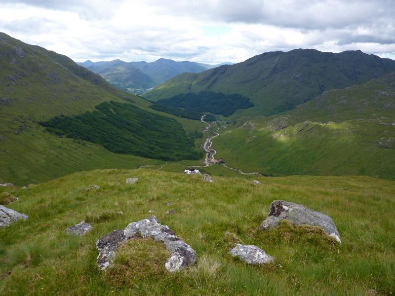
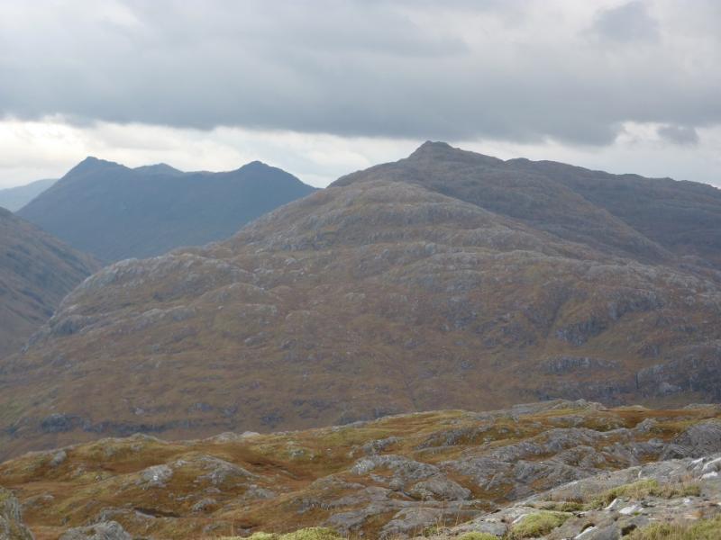
Sgurr an Utha Horseshoe from near Glenfinnan
Sgurr an Utha Horseshoe from near Glenfinnan
Start/Finish
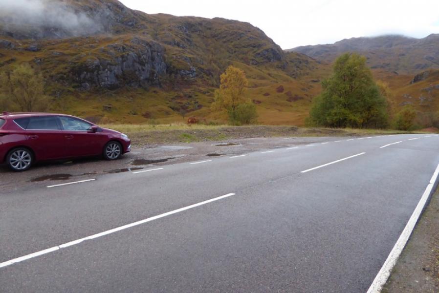
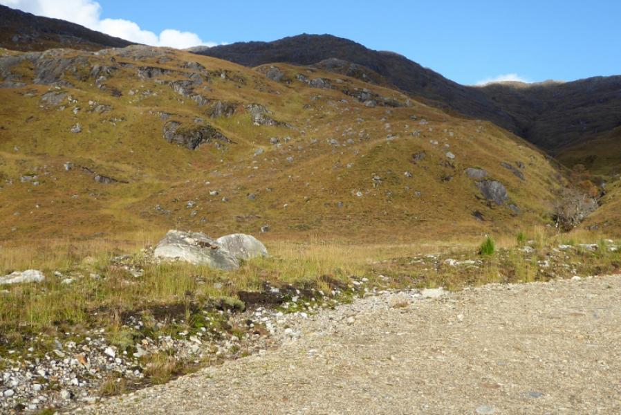
Layby just after bridge over the Allt Feith a’ Chatha about 2 km W of where the A830 road crosses the railway just to the W of Glenfinnan.
Distance/Time
10 km About 5 hours
Peaks
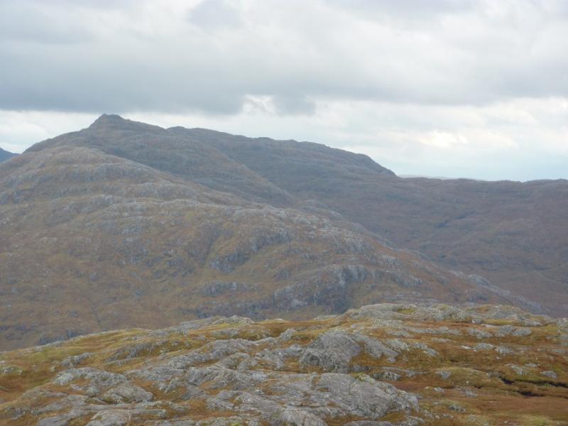
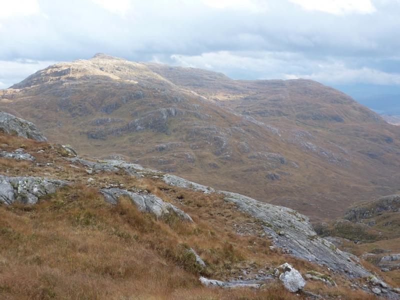
Fraoch-bheinn, 790 m, NM 894 838.
Sgurr an Utha, 796 m, NM 885 839. OS sheet 40: Loch Shiel
Introduction
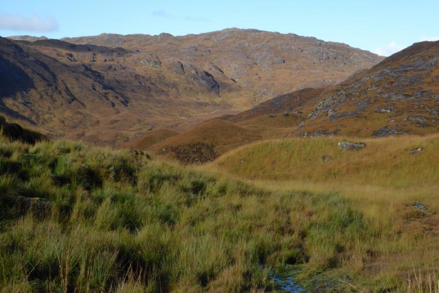
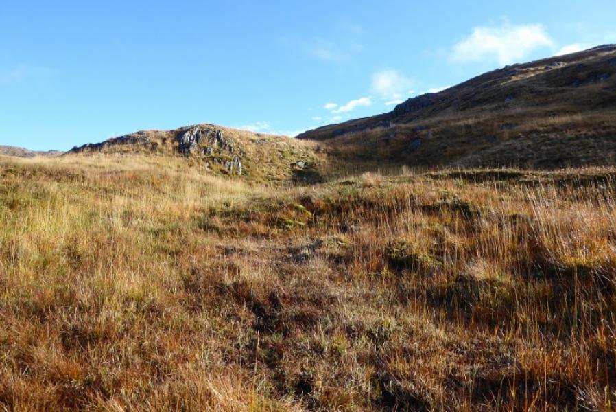
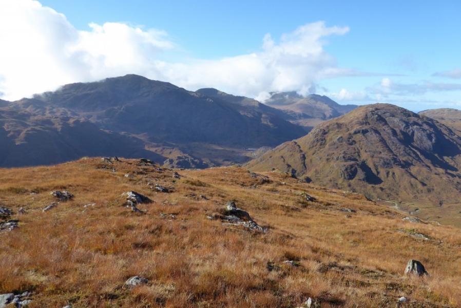
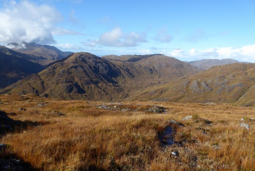
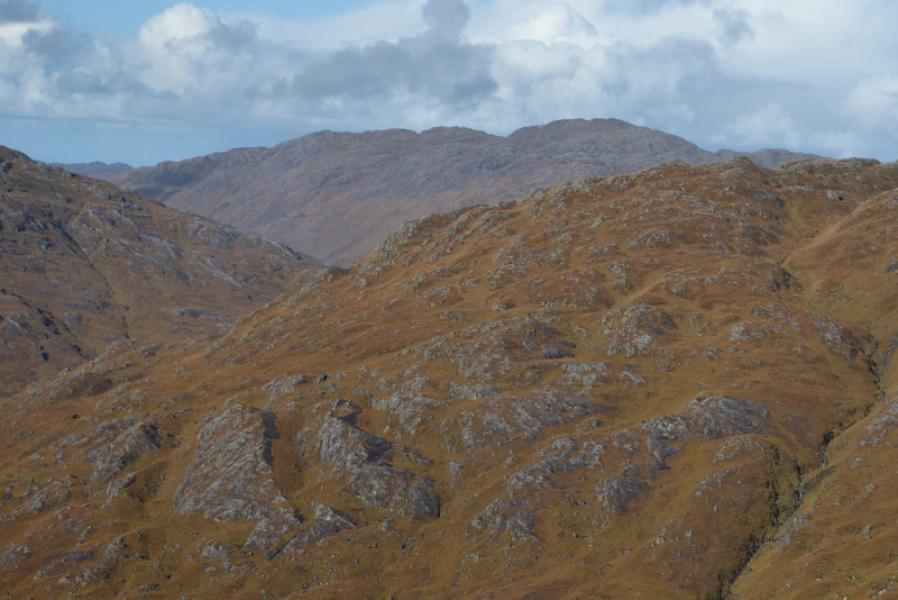
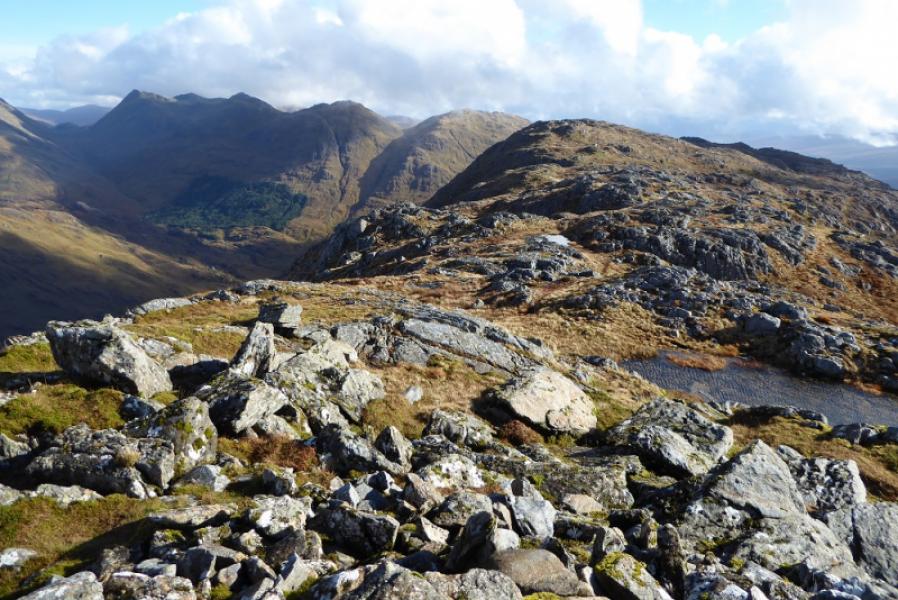
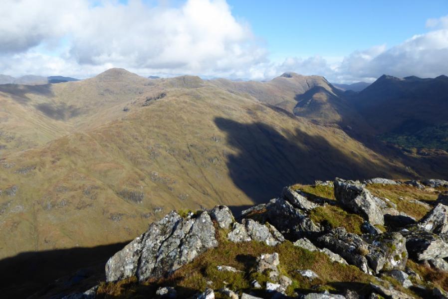
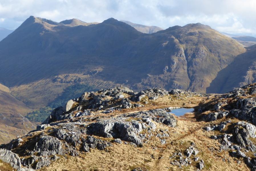
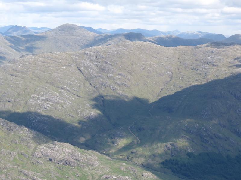
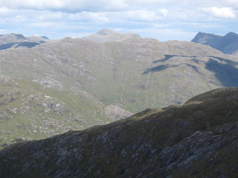
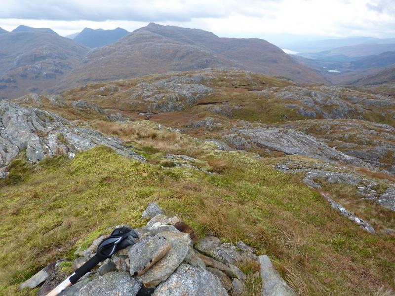
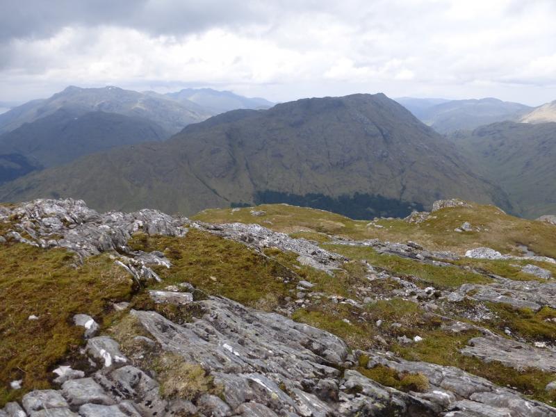
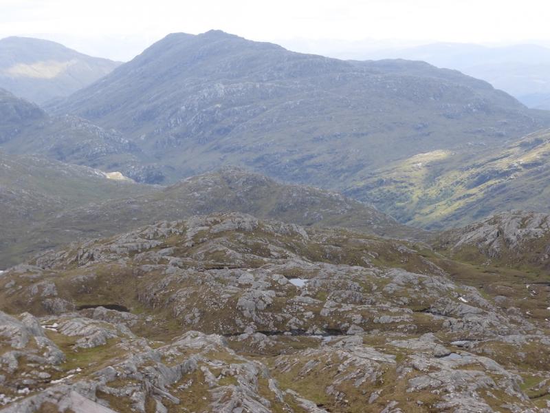
Much of the walking is pathless on grassy slopes with many outcrops providing scrambling opportunities if wished. Excellent views in all directions including the Corryhully mountains, Loch Shiel mountains, Rois-bheinn range, Meith Bhein, Streap and even Ben Nevis not to mention the seascapes and islands including Eigg, Rum and Skye.
Route
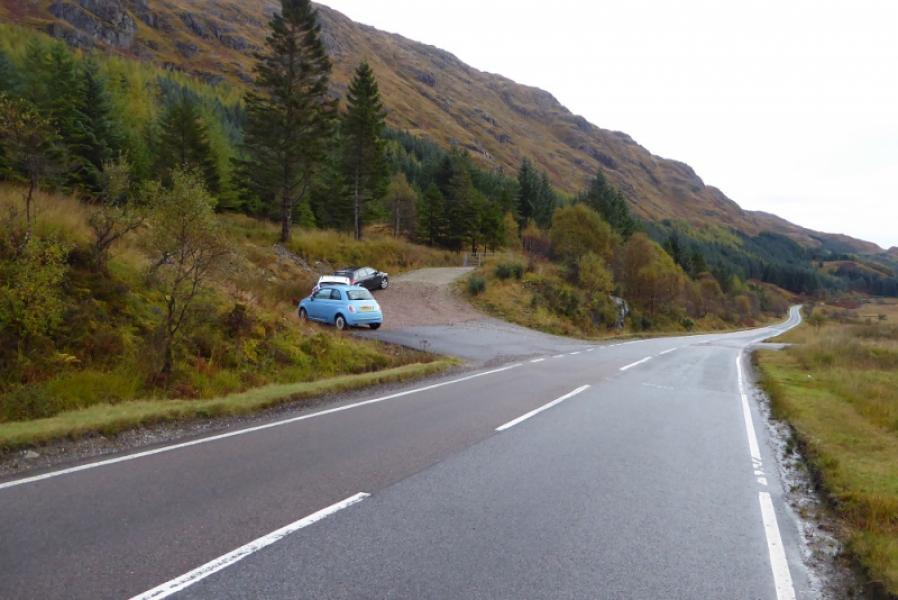
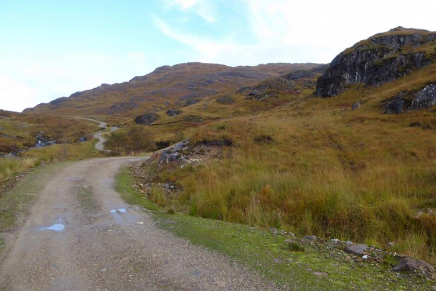
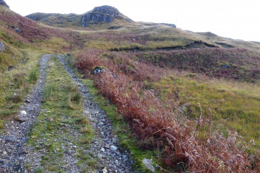
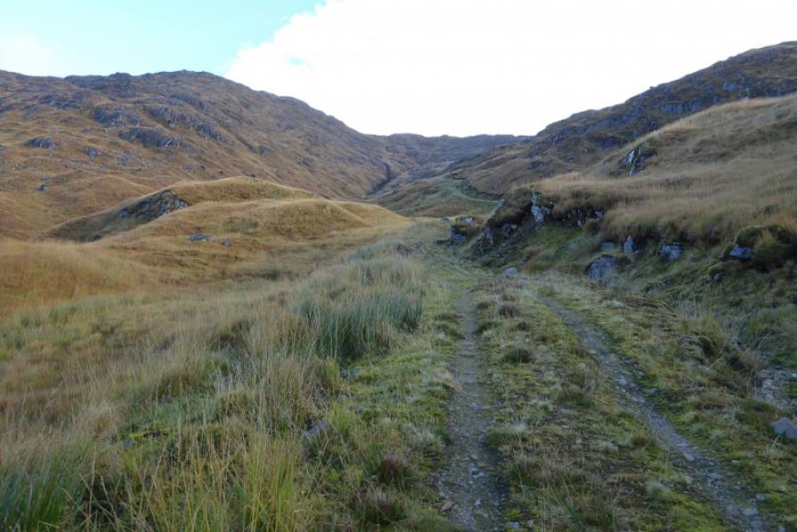
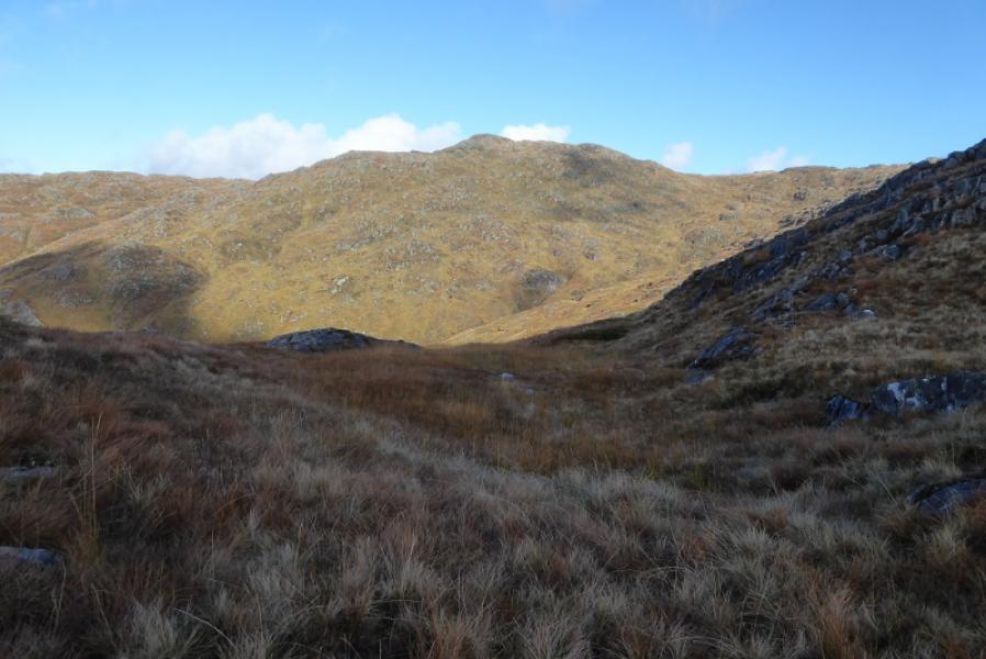
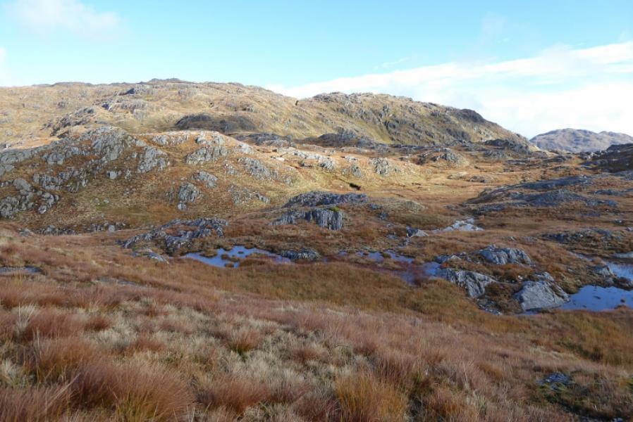
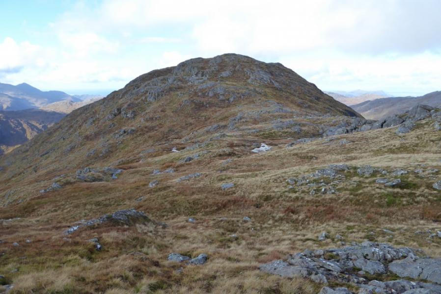
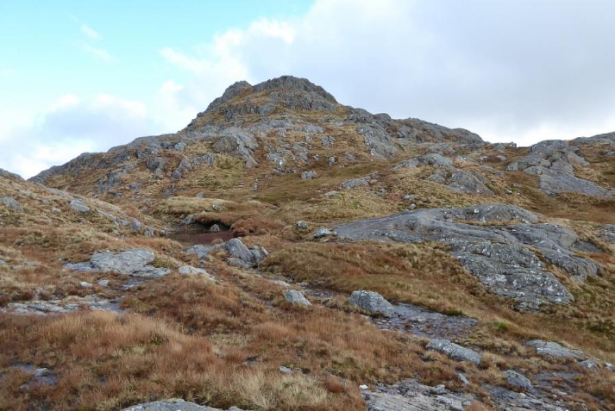
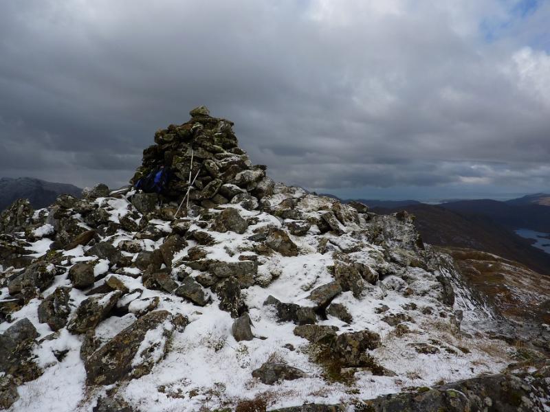
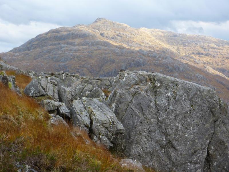
(1) Walk E back along the A830 for about 300 m and take the track on the N side of the road. A high locked gate is soon reached but it is easy for slim walkers to slip through it. Continue up the track which goes through a small section of forest which is not shown on the 1989 map. Just before a flat wooden bridge over the Allt Feith a’ Chatha, the track swings right and climbs roughly NE above the Allt an Utha. Follow the track, steep in places, to its end then head roughly NE up an ill-defined “ridge” to reach the small cairn on the summit of Fraoch-bheinn, 790 m. This would be difficult to locate in poor visibility.
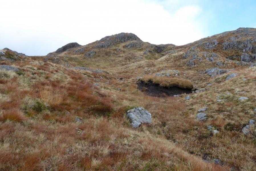
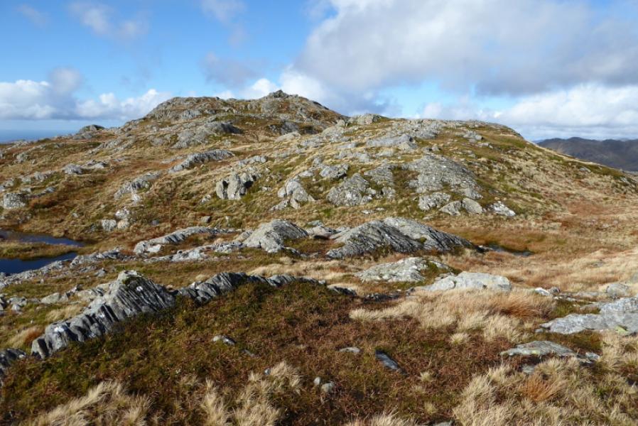
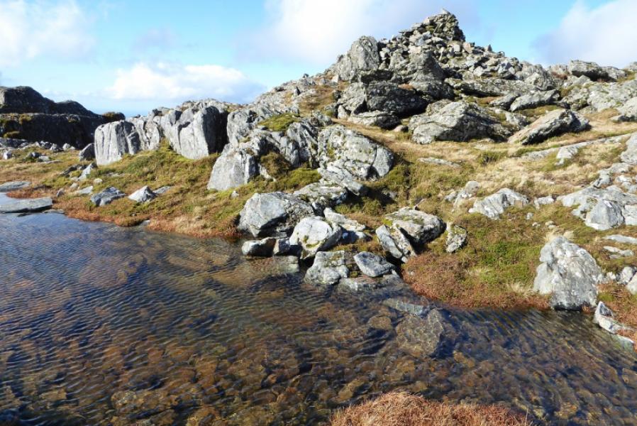
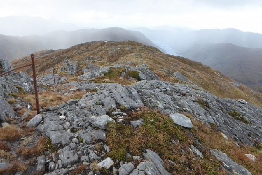
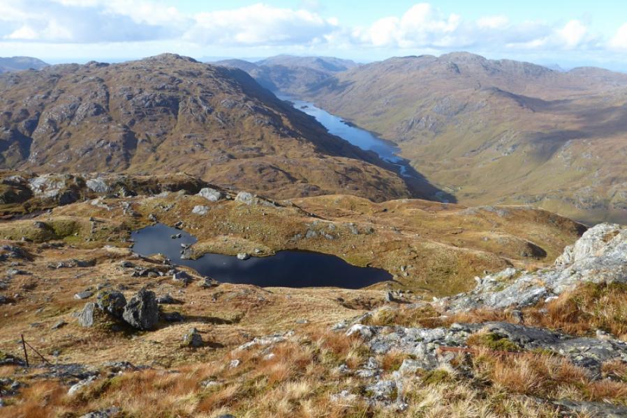
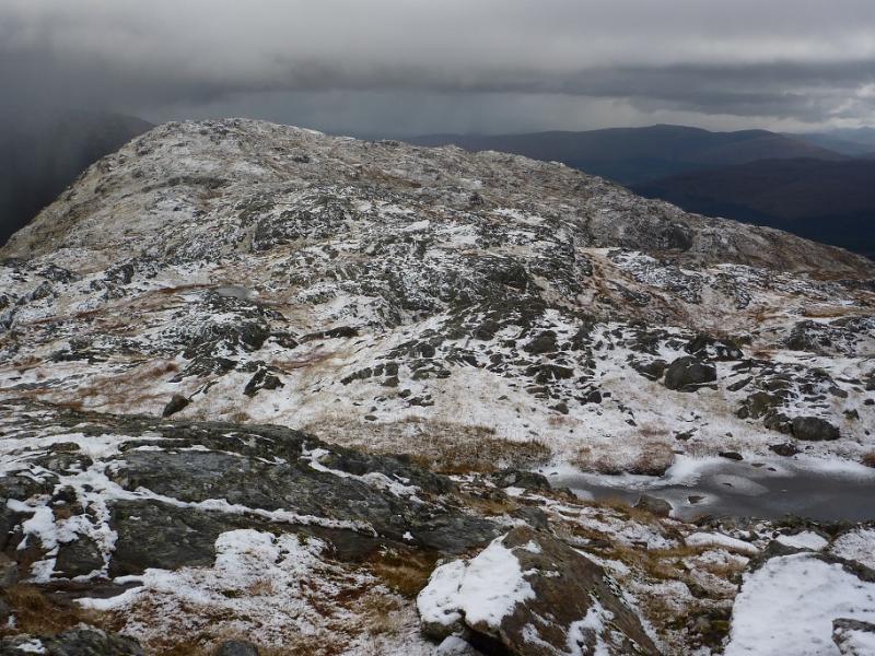
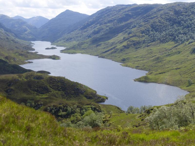
(2) Descend similar ground roughly W to reach a shallow grassy bealach then ascend (faint path) the fairly well defined E ridge to reach the medium summit cairn of Sgurr an Utha, 796 m, which is perched on a rocky outcrop. There is a good view down Loch Beoraid from here.
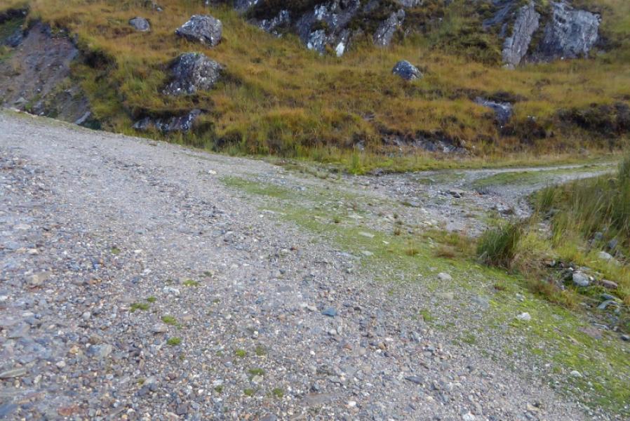
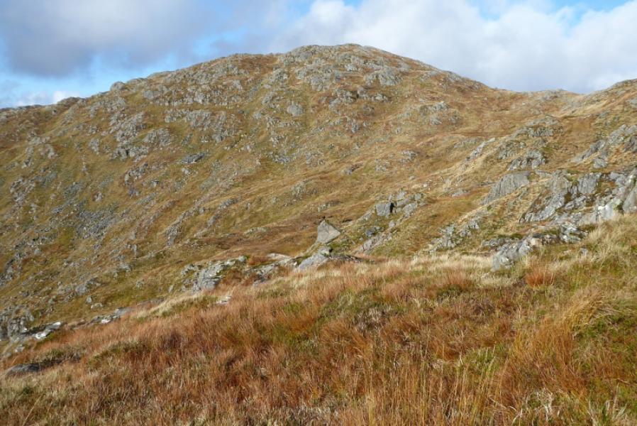
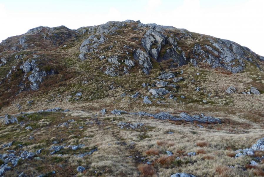
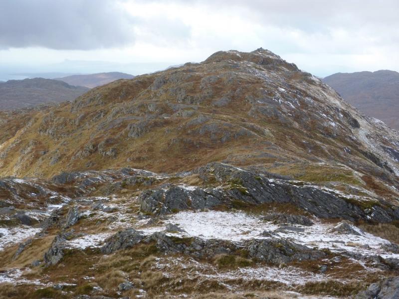
(3) Descend the W ridge of Sgurr an Utha. There are many small outcrops which can be avoided without much difficulty. A line of old fence posts is soon picked up and these are a good guide but they do descend steep slopes in places so small detours are needed. When the post descend very steeply, over a large crag, go left, S, and pick a way down towards the end of the main track used earlier. Follow this back to the start.
Notes
(a) This walk took place on 14th October, 2018.
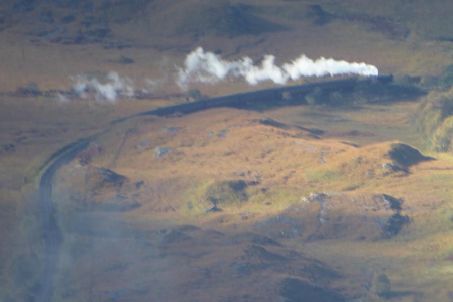
Photos - Hover over photo for caption. Click on to enlarge. Click on again to reduce.