Get Lost Mountaineering
You are here: England » South Pennines
The Pack Horse to Ponden Reservoir via Pennine Way
The Pack Horse to Ponden Reservoir via Pennine Way
Start/Finish
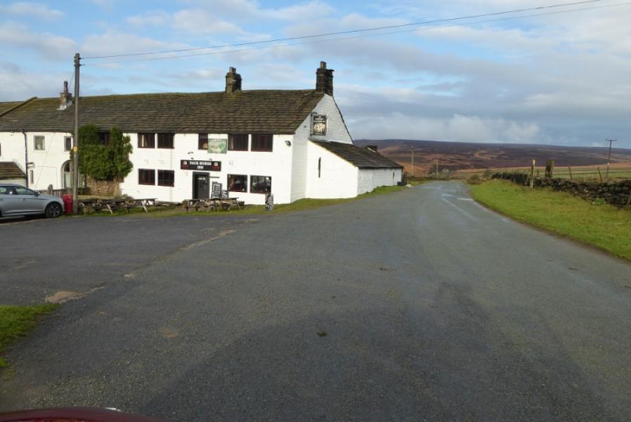
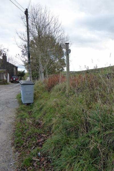
Small car park about 0.5 miles north west of the Pack Horse Inn. The car park is almost opposite a reservoir track going south. The Pack Horse Inn is about 5 miles up the minor road from Hebden Bridge to Nelson and about 0.3 miles above the obvious steep zig zags. In wintry conditions, it may not be possible to reach the start. The Pennine Way from Hebden Bridge meets the minor road about halfway between the Pack Horse Inn and the small car park.
Distance/Time
12 km (One way). About 3 – 4 hours. Double this if retracing the route.
Peaks
There are no peaks on this route as it is mainly a moorland walk which rises to about 400
OS Outdoor Leisure 21: South Pennines. OS 103: Blackburn & Burnley
Introduction
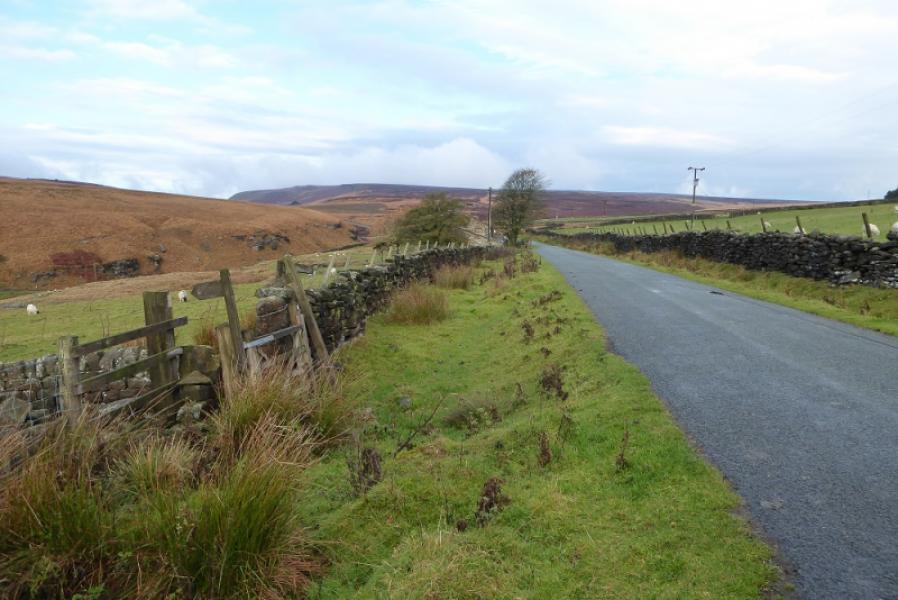
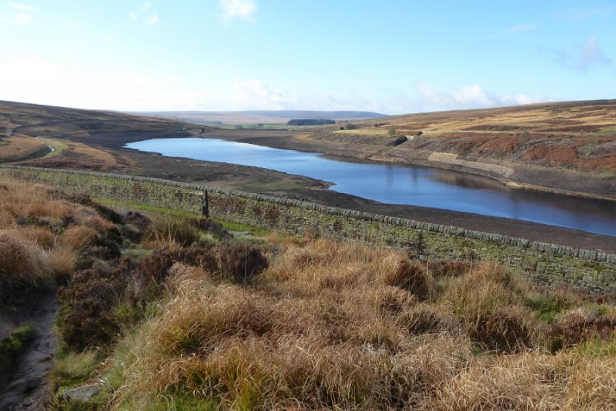
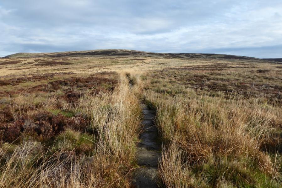
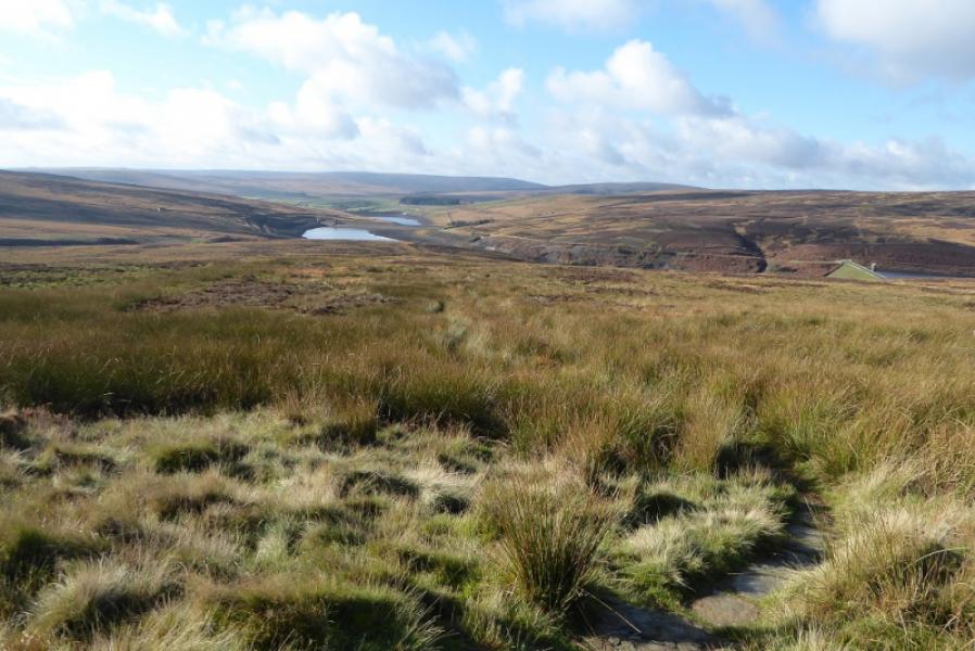
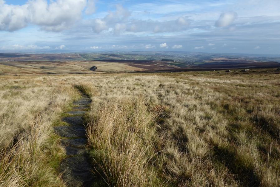
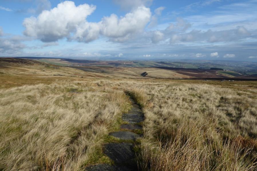
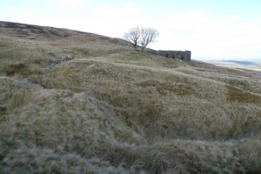
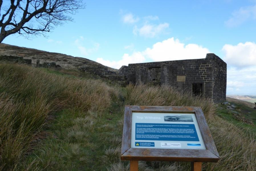
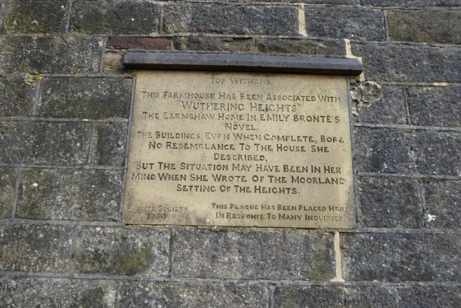
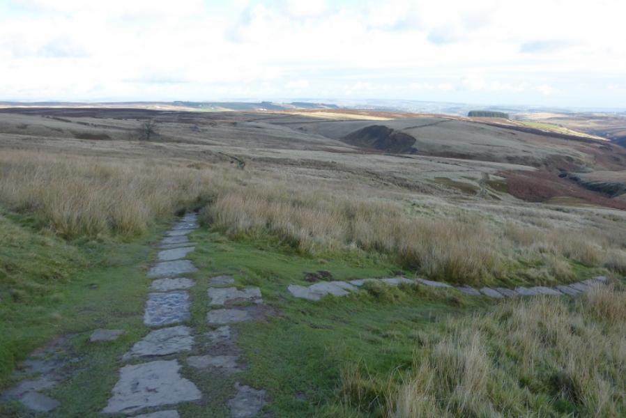
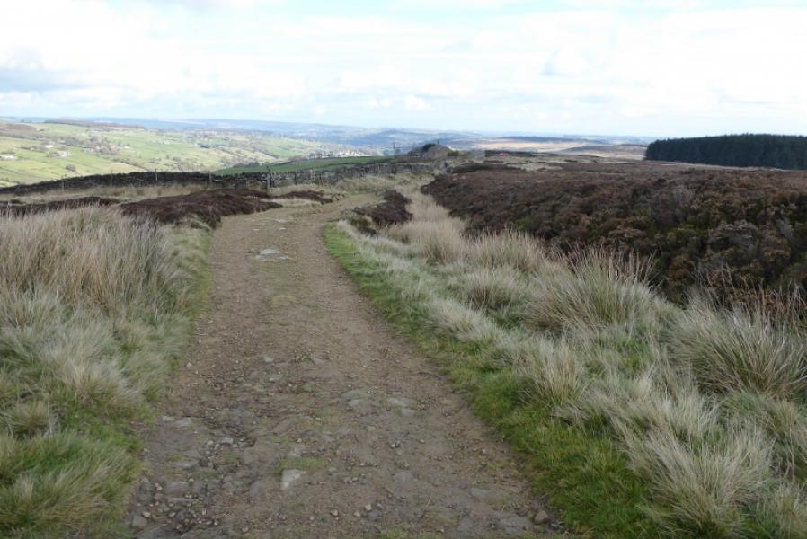
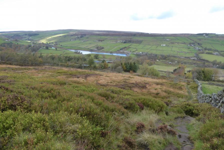
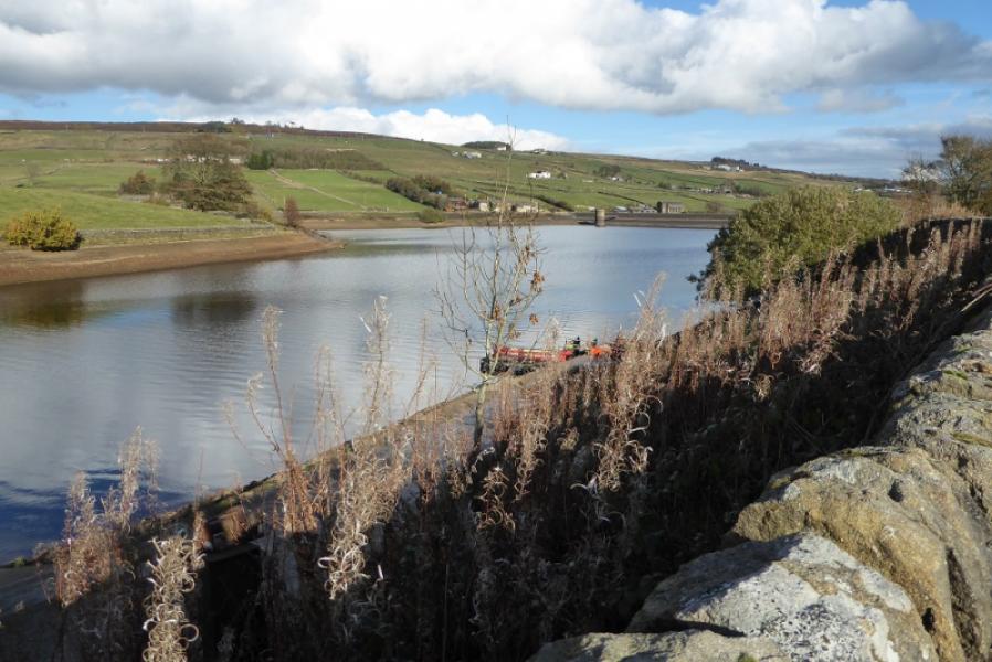
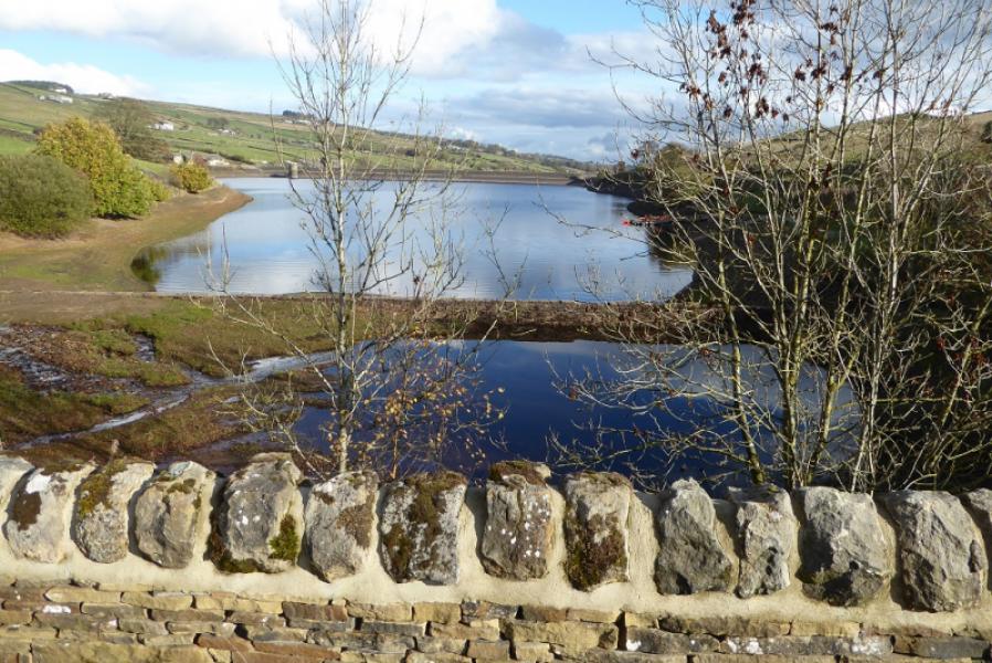
This is a pleasant walk but not particularly exciting with the reservoirs being the scenic highlights. The walk goes past the ruins of Top Withens which some claim inspired Wuthering Heights. The going underfoot is fairly good with the roughest sections being slabbed. The route is generally well signposted.
Route
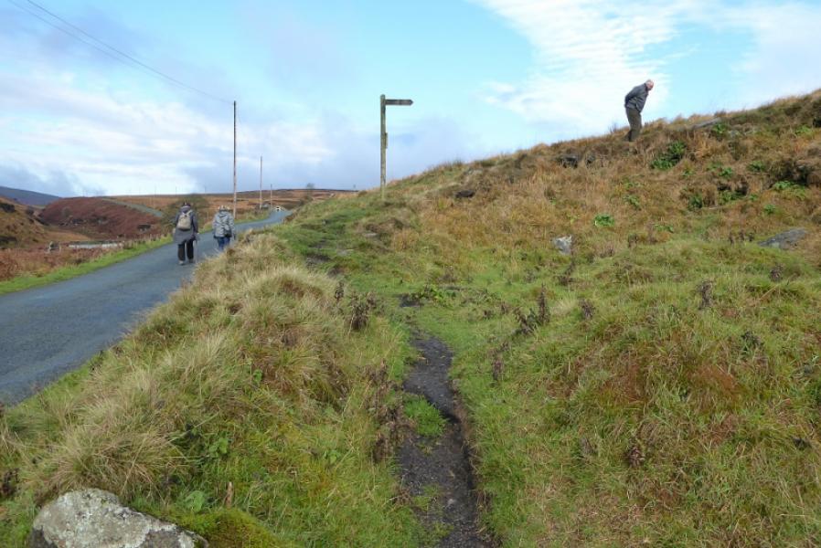
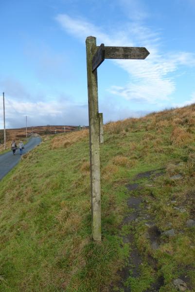
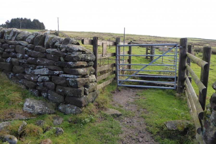
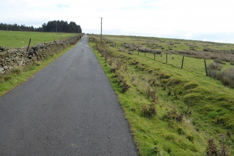
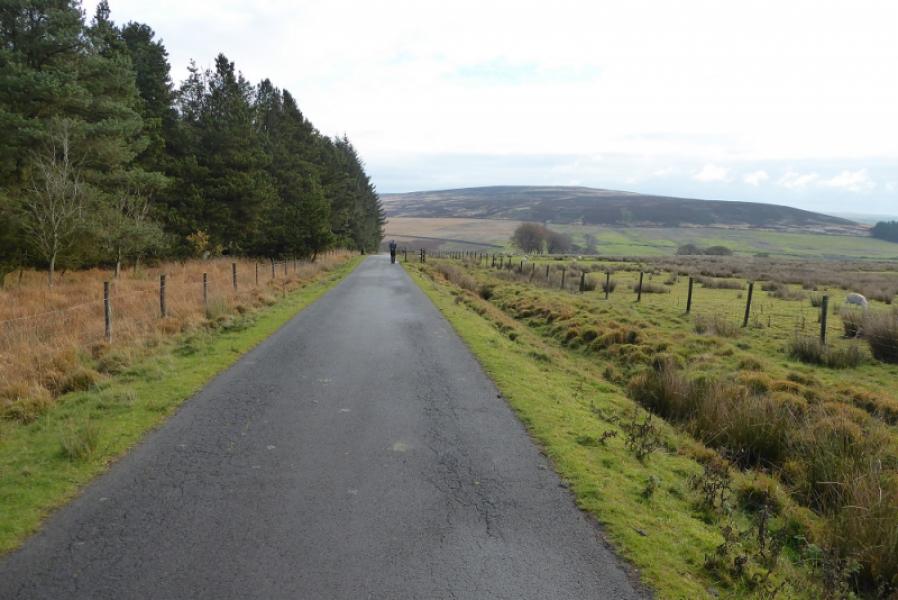
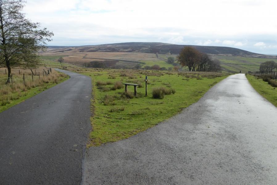
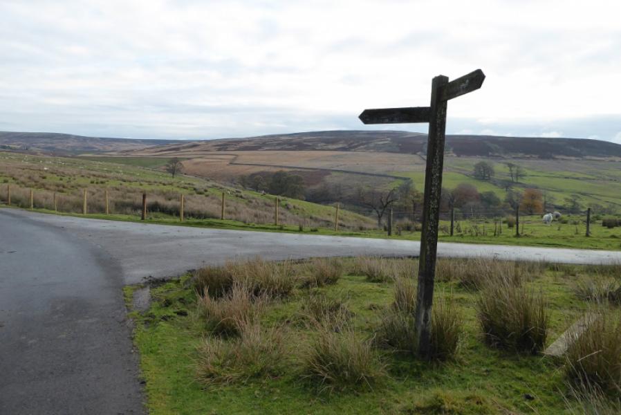
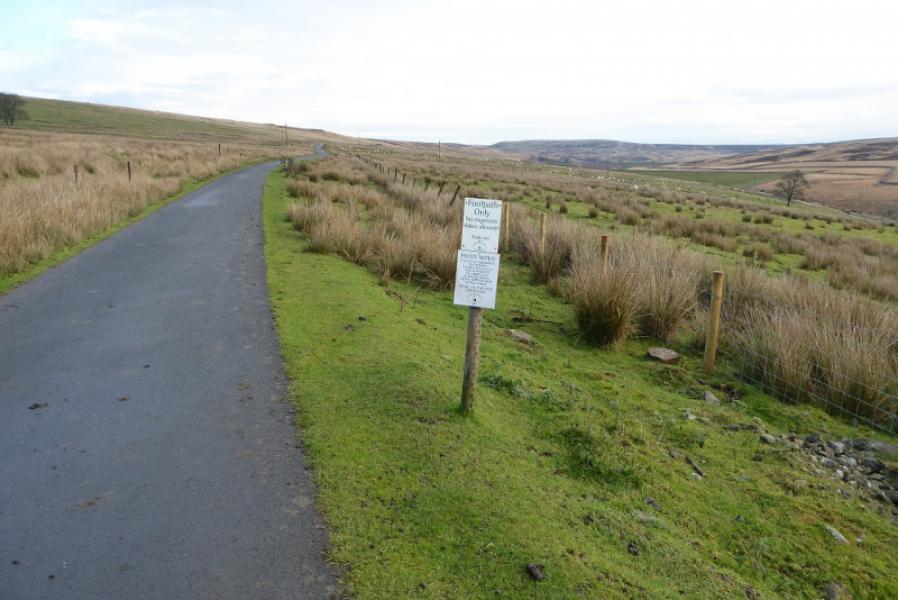
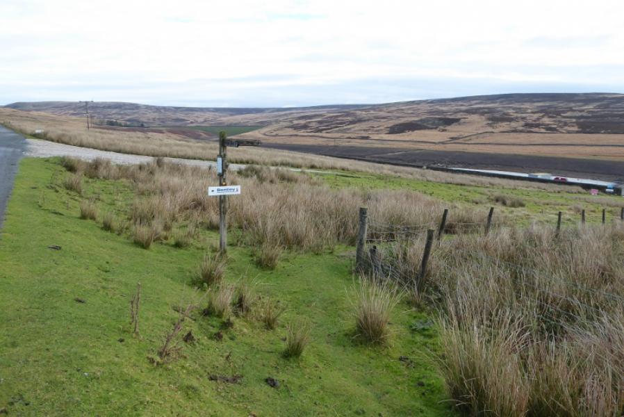
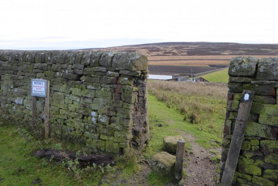
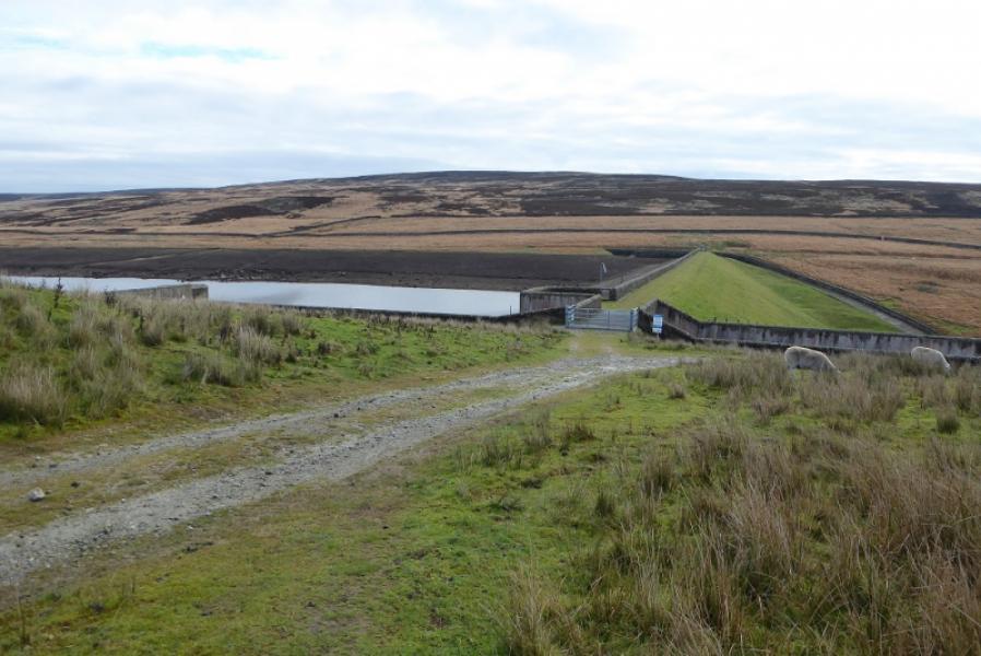
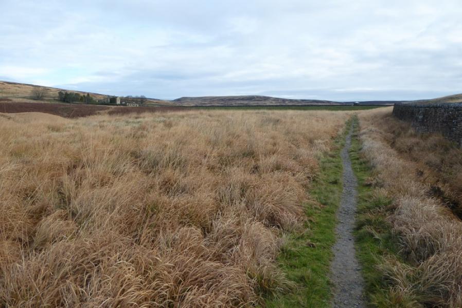
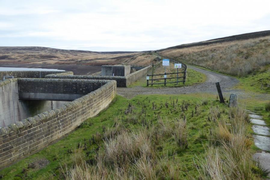
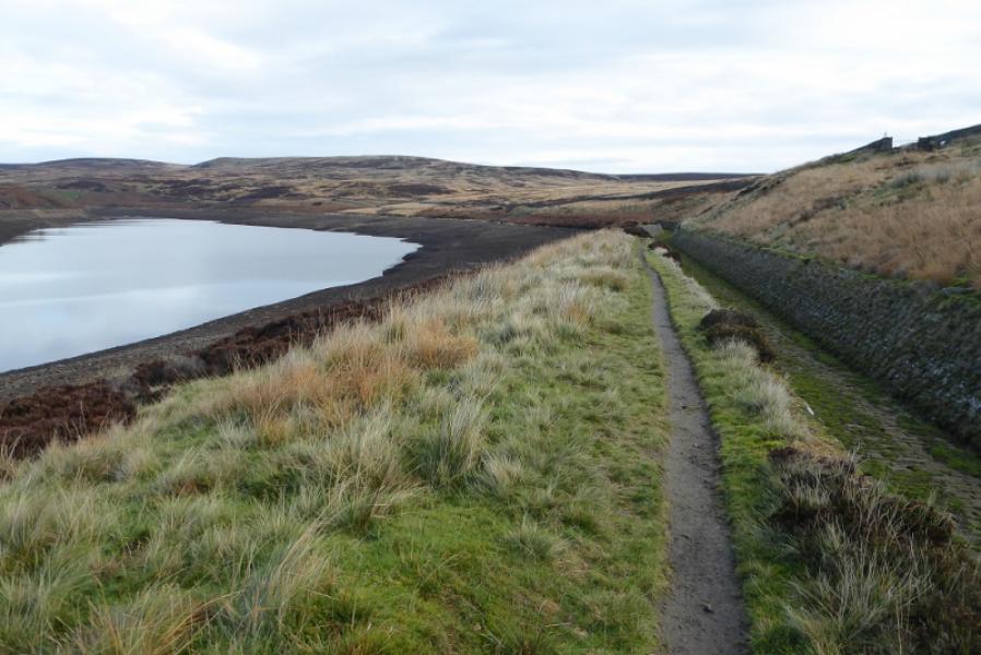
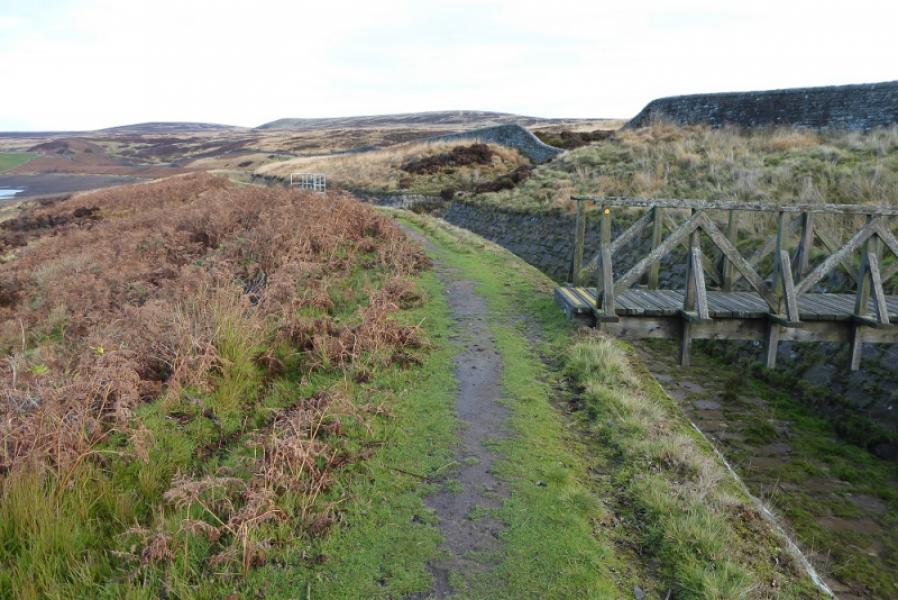
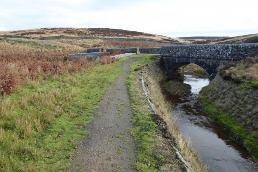
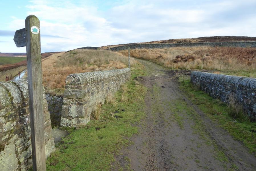
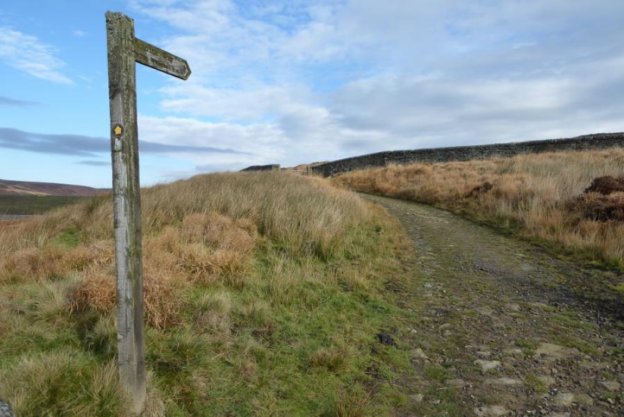
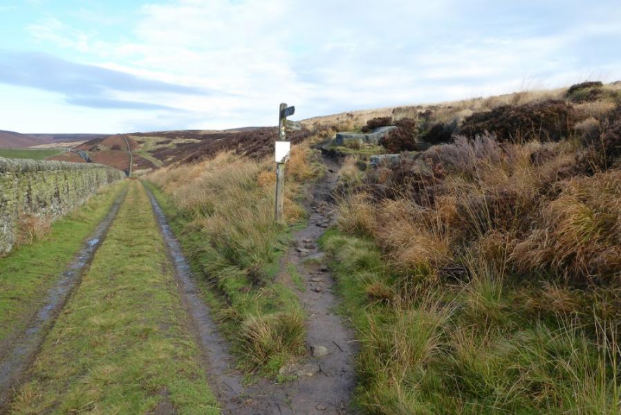
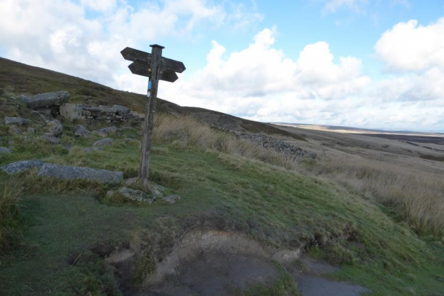
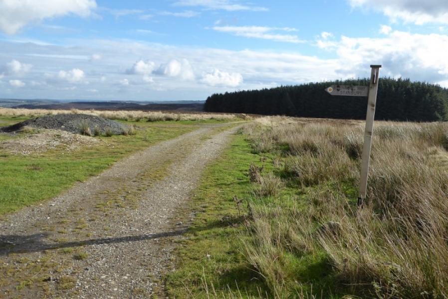
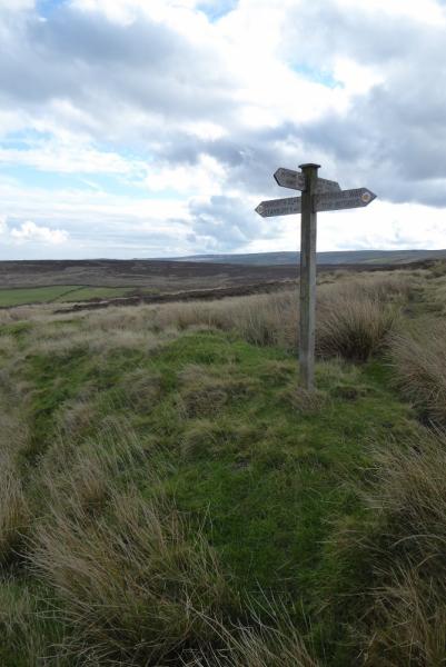
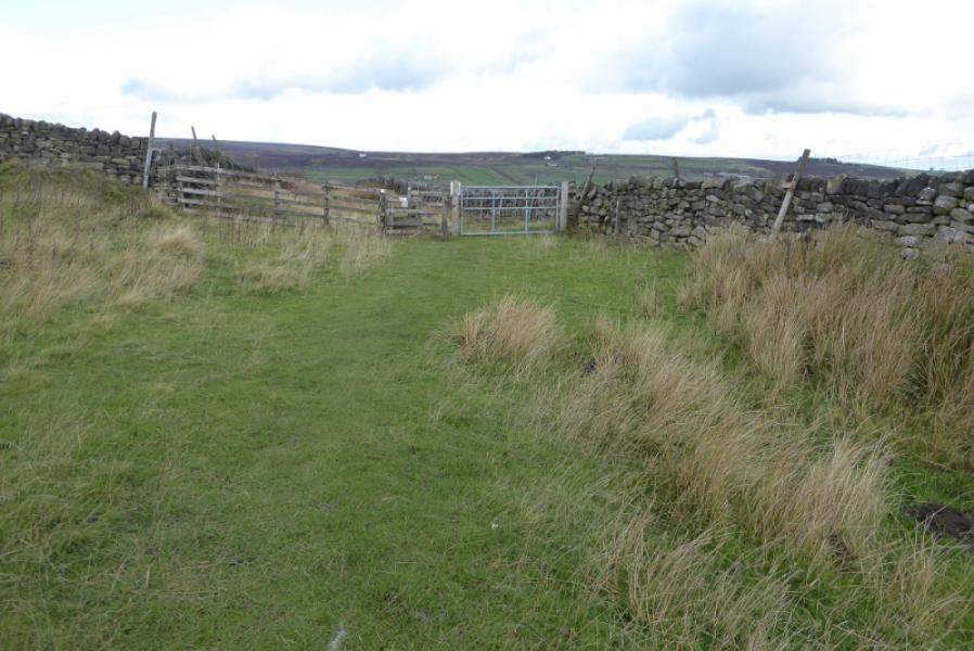
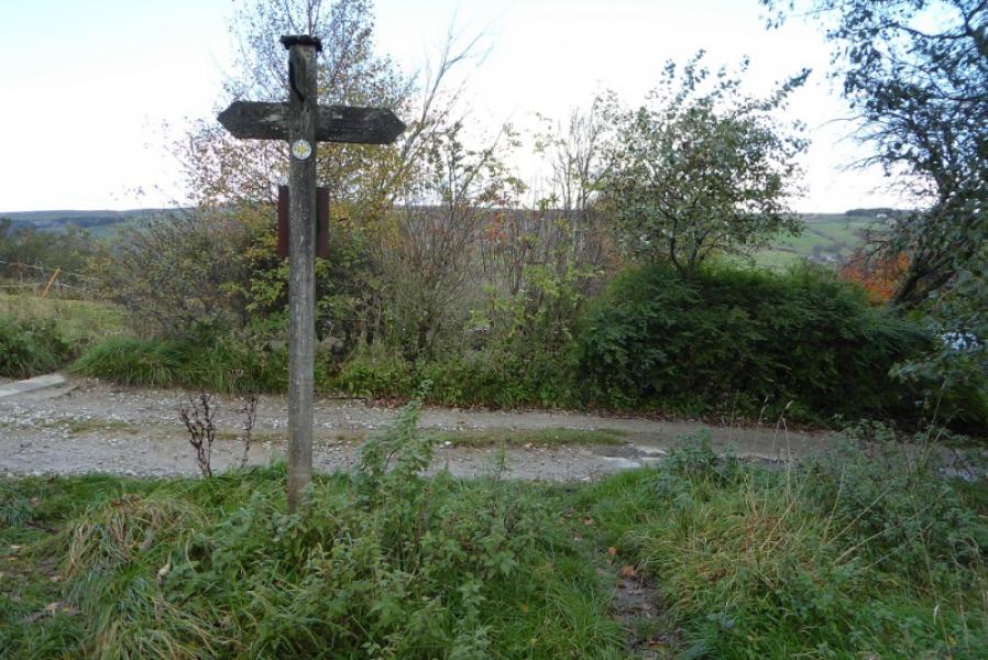
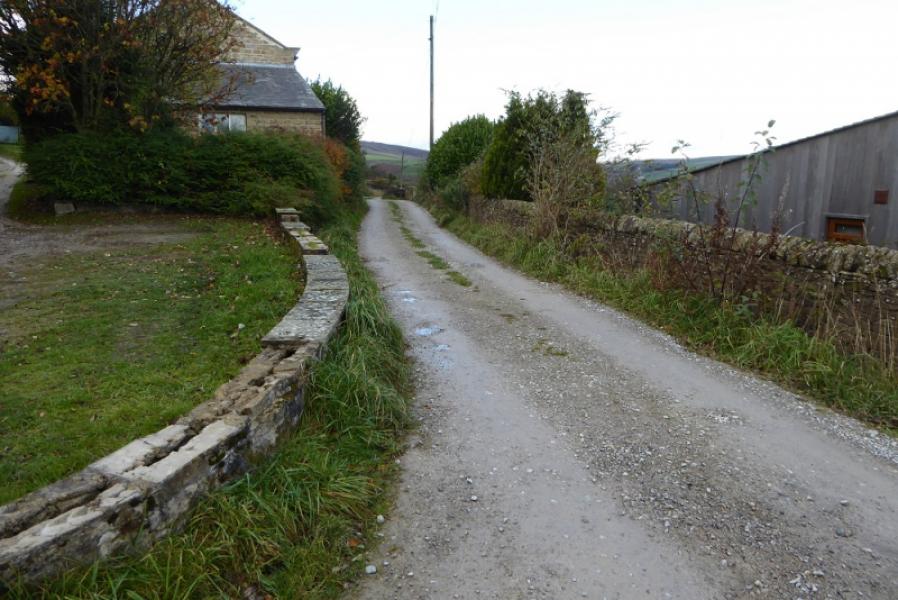
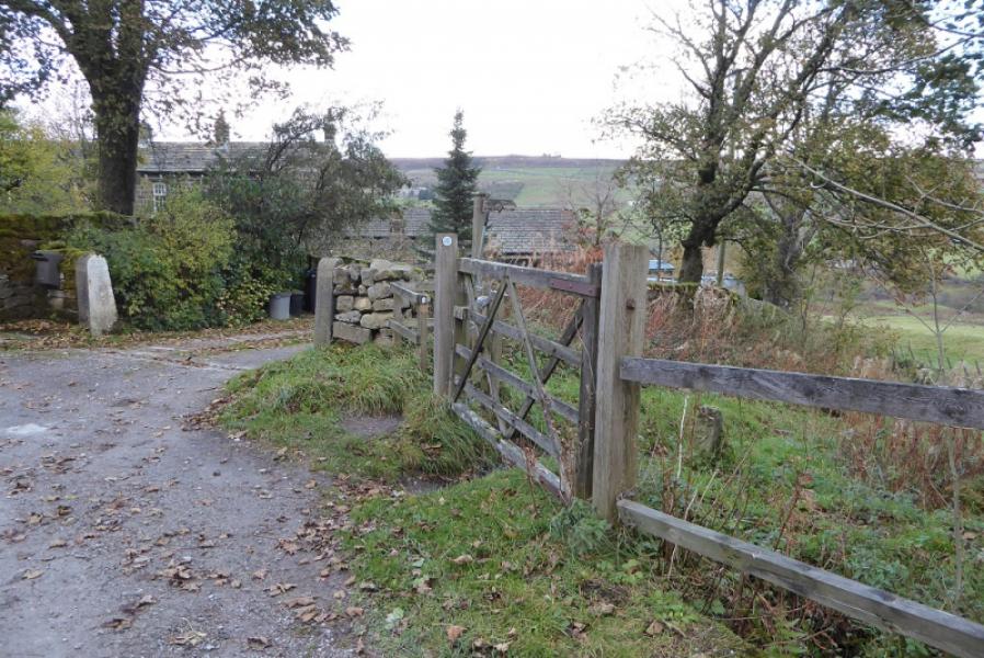
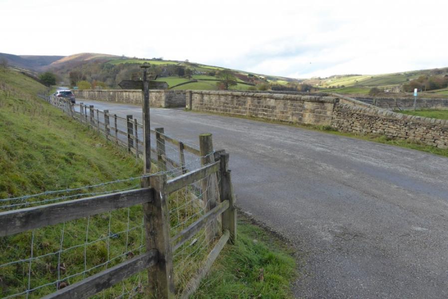
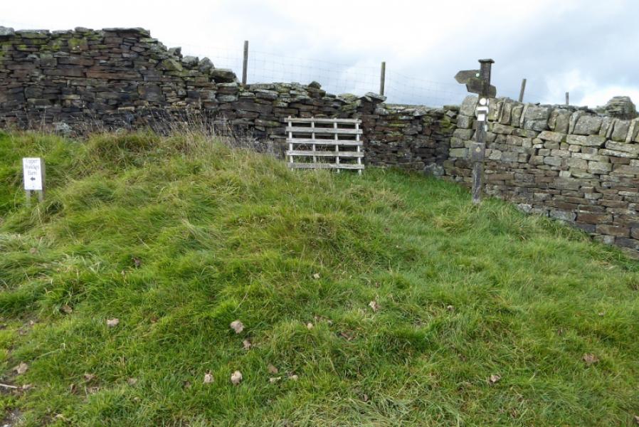
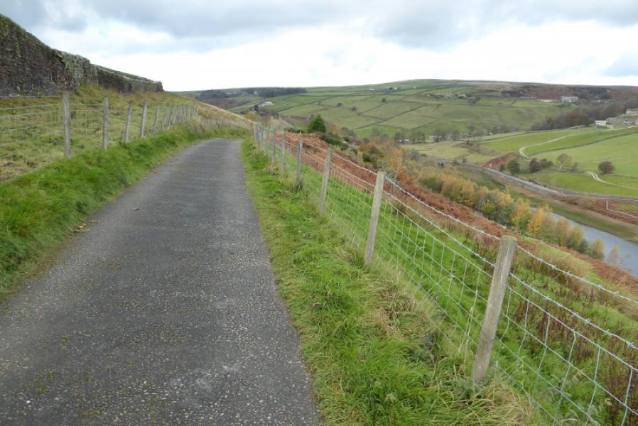
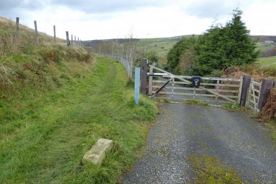
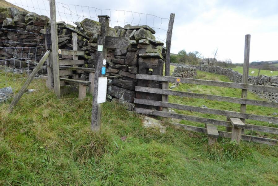
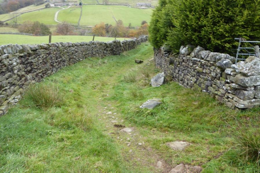
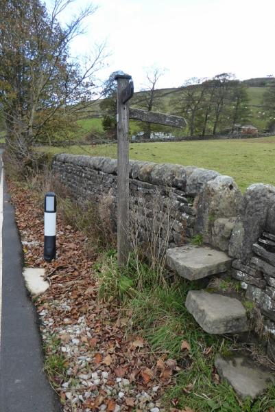
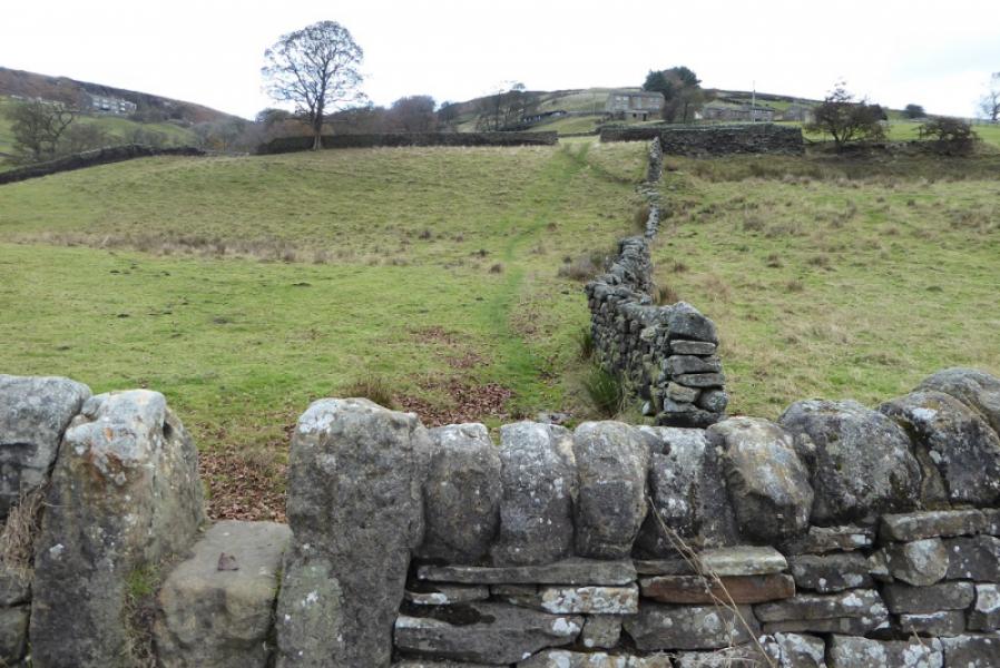
(1) Locate the sign marking the start of the path a few metres N of the car park. Follow the path up to soon join a private tarmac road. Follow this by the wood then fork left at the first and second junction. Continue ahead at the third junction. The path soon leaves the road and drops down the cross the dam of Walshaw Dean Lower Reservoir. Follow the path up the E side of the reservoir to reach the dam of Walshaw Dean Middle Reservoir. Follow the path/track up the E side of this reservoir until a sign directs one off to the right to start the gentle ascent over Middle Hill. Descend a little more steeply on the other side and reach the old ruin at Top Withens. Continue to Low Withens then continue on the path which gradually becomes a track and leads past Upper Heights then Lower Heights. Keep going until a signpost indicates a left turn and follow the path/track down to join a good track. Turn right then take a reverse left fork and follow this until a path goes off right just before the track enters private houses. Follow the path down to reach the road on the S side of Ponden Reservoir. Stay with the road which climbs moderately steeply before a track takes over then a path which leads down to the track which crosses the W end of the reservoir. Reach the road and turn left for a few hundred metres before a stone stile takes the Pennine Way north again.
(2) If your car is back at the start then retrace the outward route.
Notes
(a) This walk took place on 1st November, 2018.
Photos - Hover over photo for caption. Click on to enlarge. Click on again to reduce.