Get Lost Mountaineering
You are here: England » South Pennines
Ponden Reservoir to Cowling via Pennine Way
Ponden Reservoir to Cowling via Pennine Way
Start/Finish
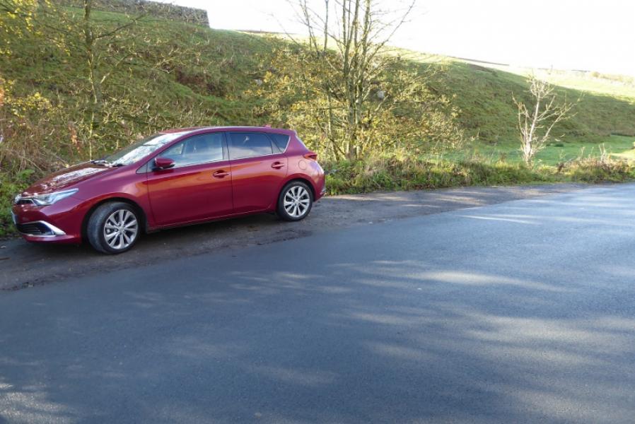
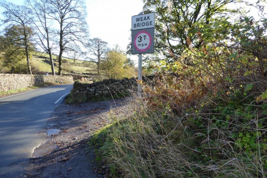
Small rough parking space about 100 m W of where Pennine leaves the road and goes north. The parking space is next to a weak bridge and just before the road climbs steeply uphill. This is about 300 m W of the W end of Ponden Reservoir.
Distance/Time
8 km (One way). About 3 hours. Double this if retracing the route.
Peaks
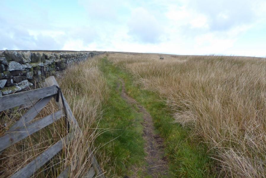
There are no peaks on this route as it is mainly a moorland walk which rises to about 400 m
OS Outdoor Leisure 21: South Pennines. OS 103: Blackburn & Burnley
Introduction
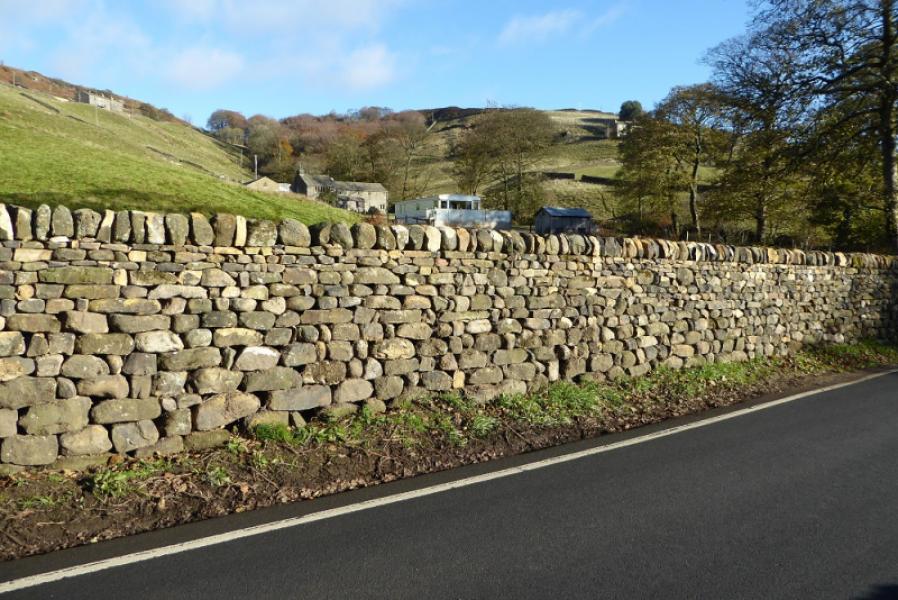
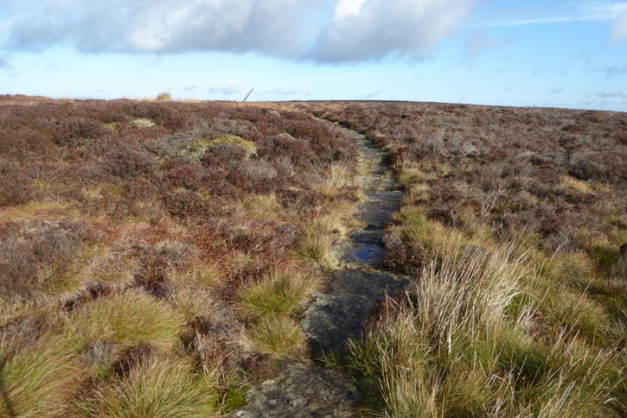
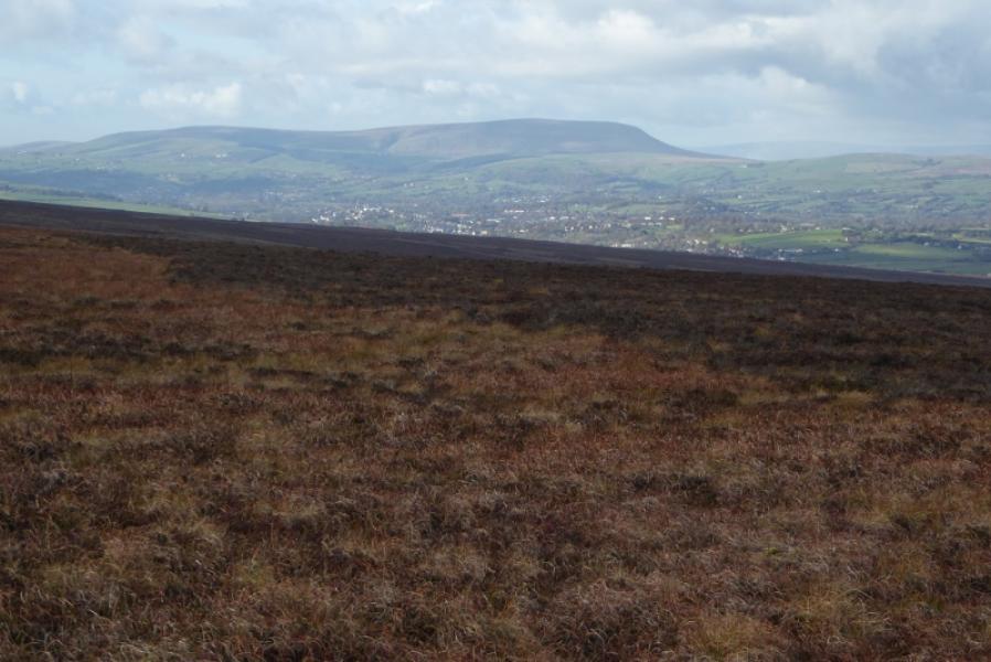
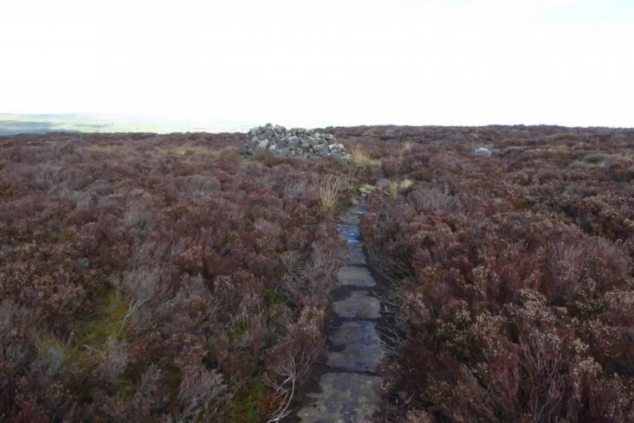
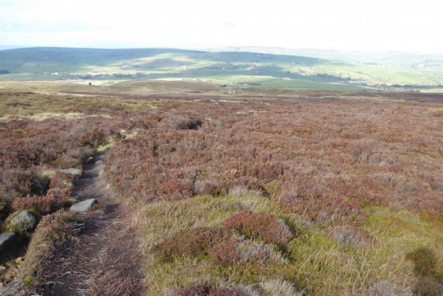
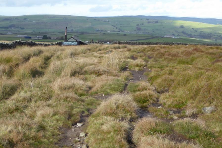
This is a pleasant walk which is generally well signposted. Any boggy sections have been slabbed. The scenery appears to be more pleasing on the south side of the walk. The descent to Cowling takes quite a detour to the east, presumably because of landowner objections when the route was created, many years before the “right to roam”.
Route
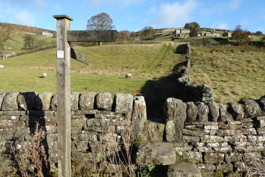
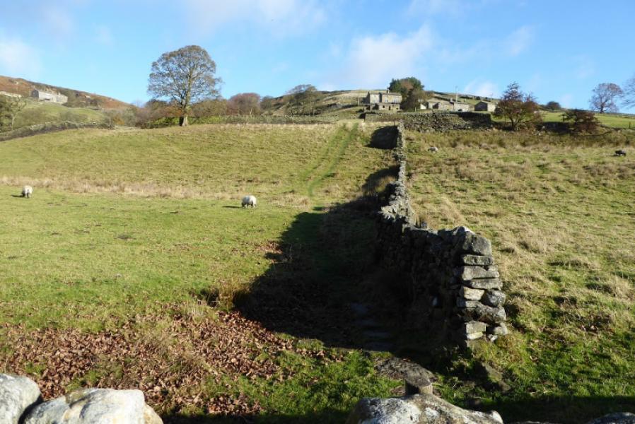
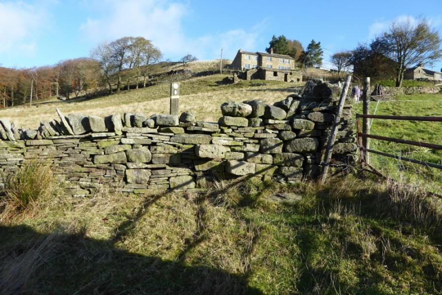
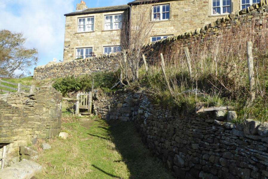
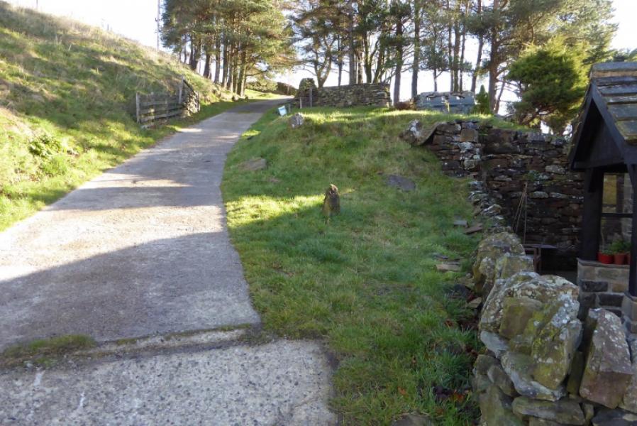
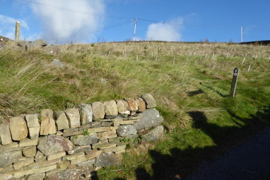
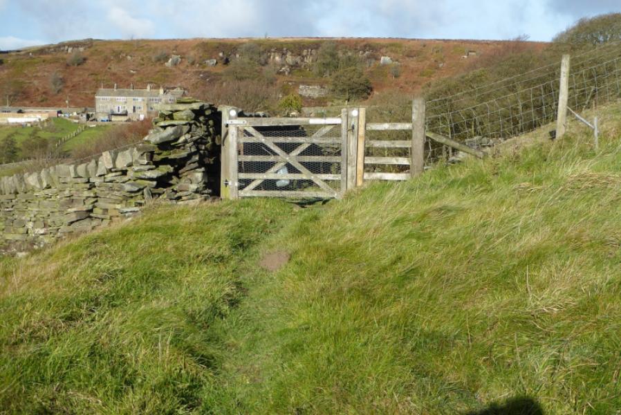
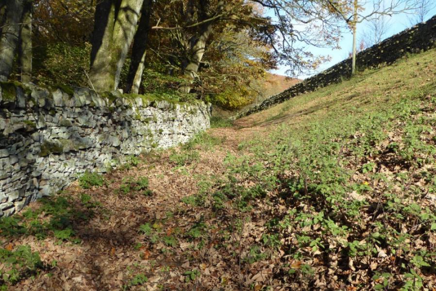
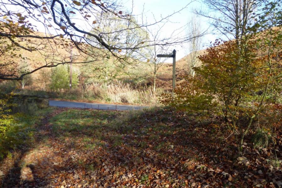
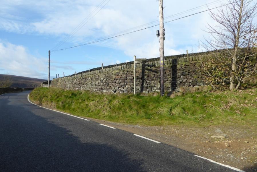
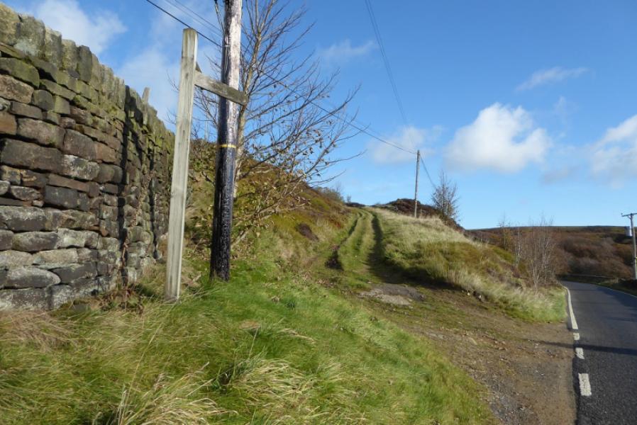
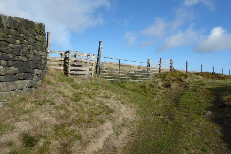
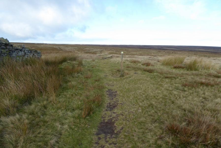
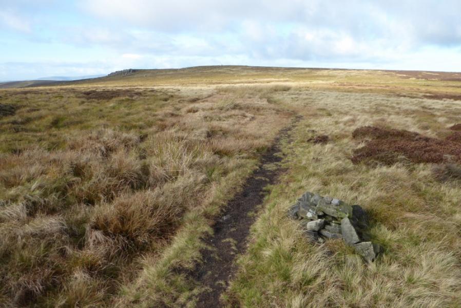
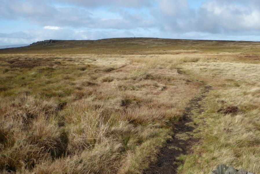
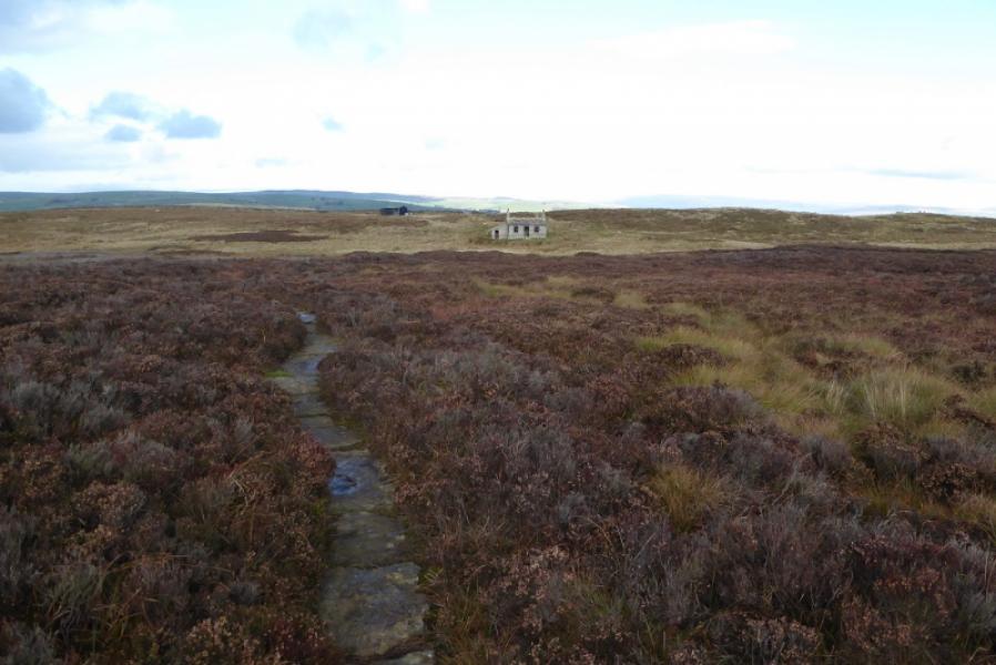
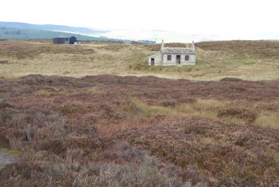
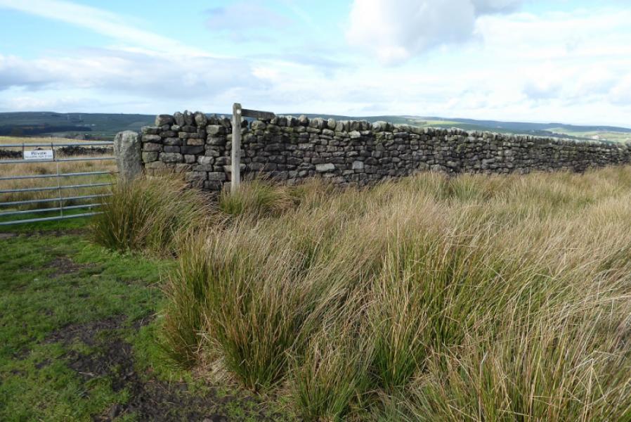
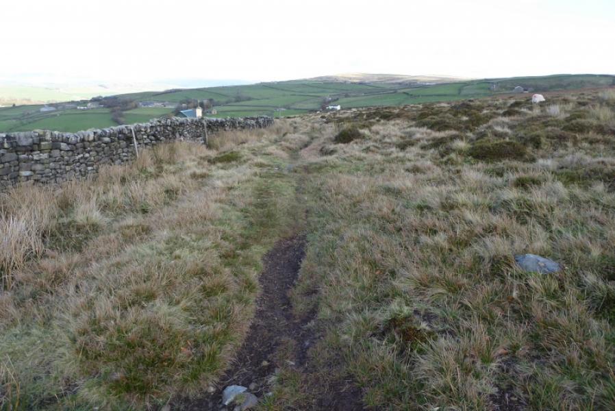
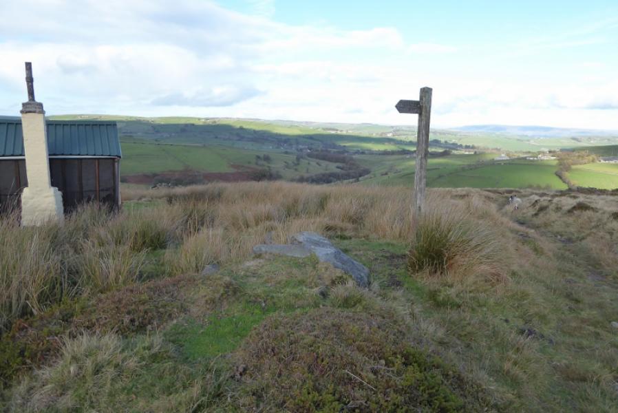
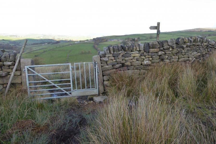
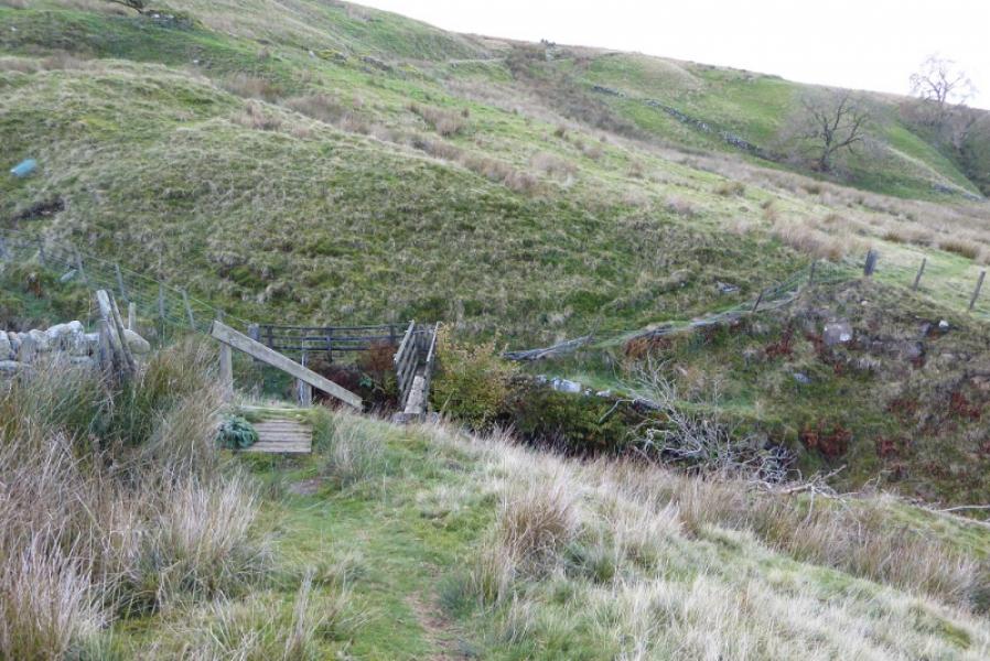
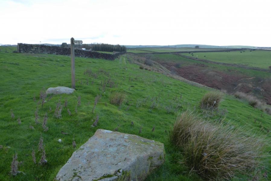
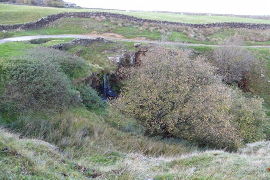
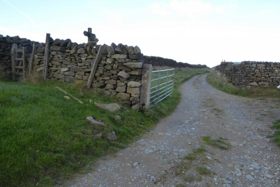
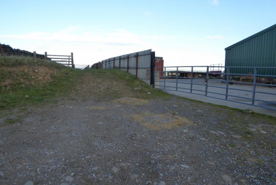
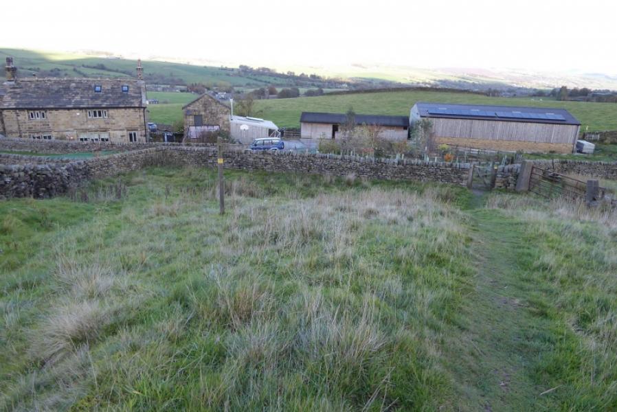
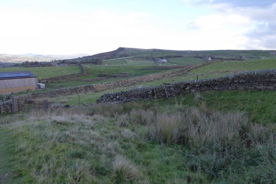
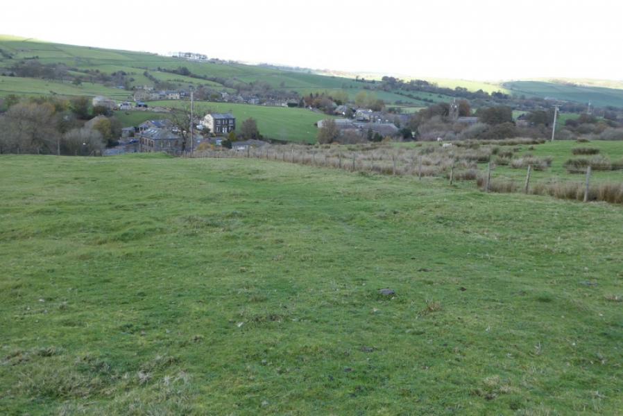
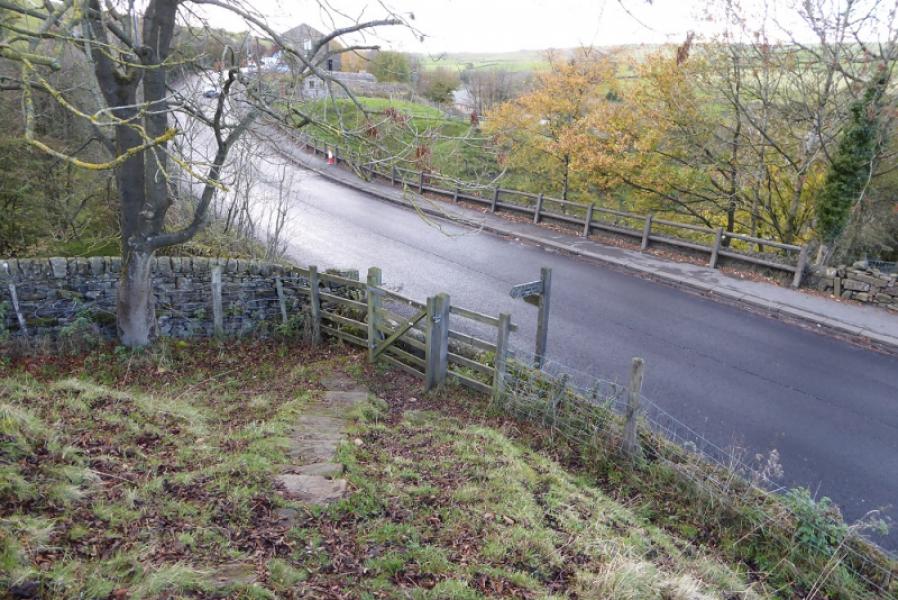
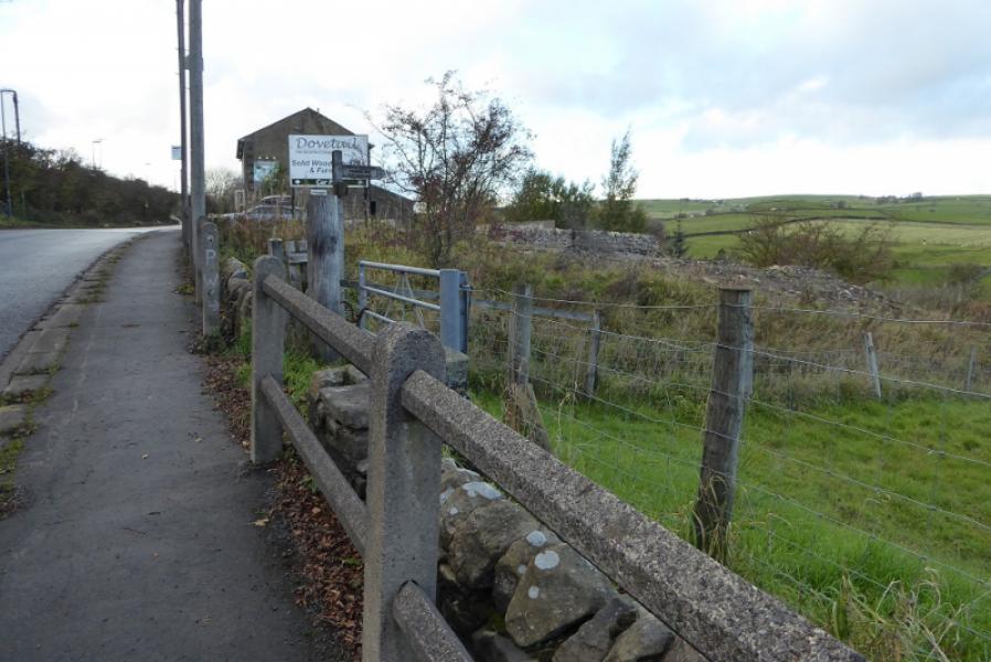
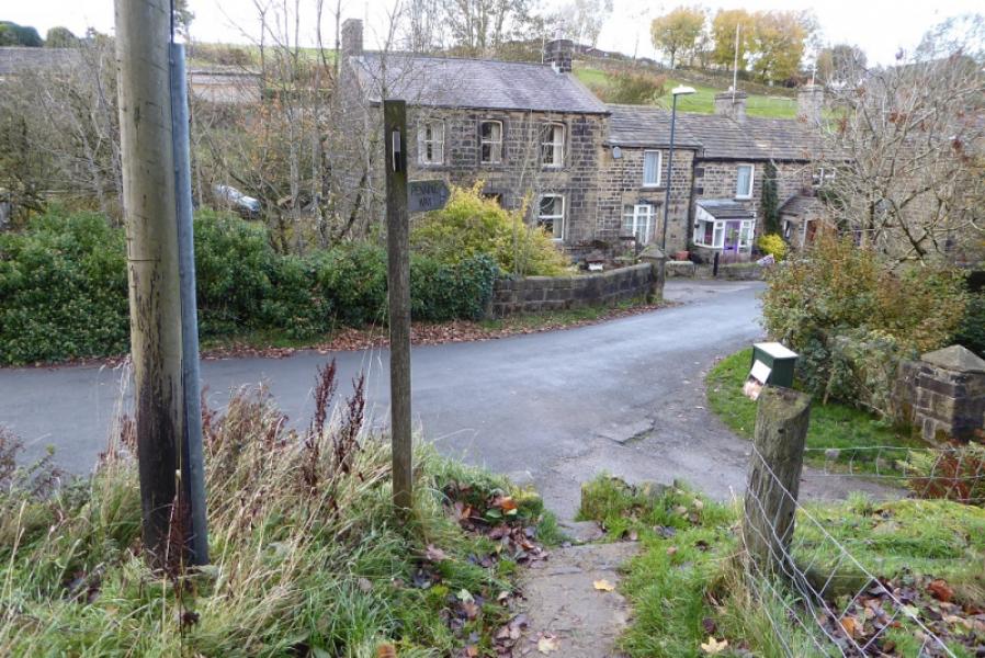
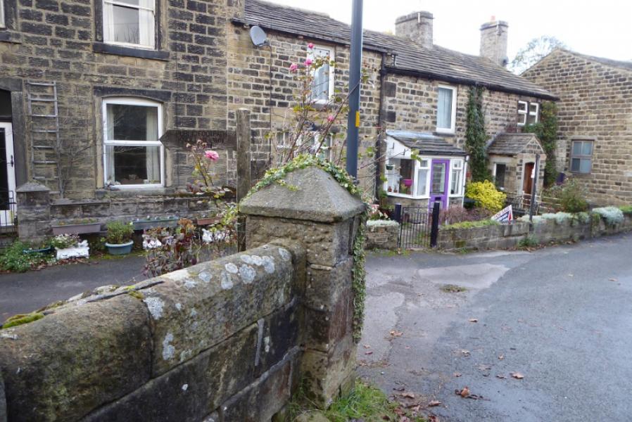
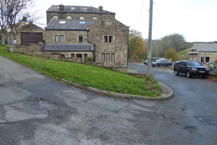
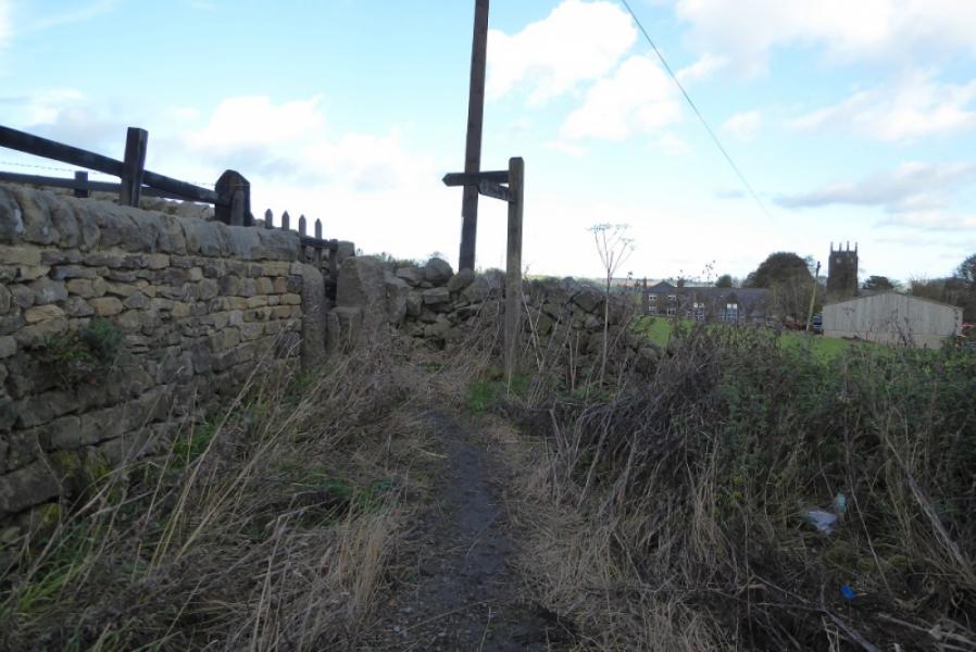
(1) Walk about 100 m E from the parking spot next to the weak bridge to reach the sign and stone stile for the Pennine Way. Ascend the grassy fields, keeping to the right higher up to reach the obvious house called Dean Fields. Go around the left of the house then follow the track uphill towards the road but leave the track just before the road and follow the signed path. When it joins the road, turn left, W, and follow the road past a row of cottages. Look for a Pennine Way sign, reverse right fork, just before the next house. Follow the grassy track up to the end of the wall then go through the gate on the left. The route is now very straight and follows a wall. When the wall finally runs out, continue on the fairly obvious path. Soon, a trig point will be spotted ahead. This is Little Wolf Stones and is off to the left of the route. The path passes some distance to the E of Little Wolf Stones and passes a solitary stake which may be the highest point on this route. Further on, a larger cairn is passed as the Pennine Way starts the long descent towards Cowling over heathery moorland. Further down, pass an old cottage then a series of sheds before the route goes right and passes more sheds. Further on, the route goes through a gate and left, descending slightly, passing an old ruin and crossing a narrow bridge. Further on, the path ascends, becomes a grassy track, and joins a track at the entrance to a farm. Follow the track to a large modern barn where the track goes left but the Pennine Way continues ahead. Descend down to Lower Summer House Farm where the path has been diverted around the right of the farm. Continue down to reach the A6068 at Cowling. Turn left, pass the stone bus shelter then turn right and follow the Pennine Way down to the main street through Cowling village. Turn right and follow the main street until a road goes off left with “PW” painted on a telegraph pole. This is where you go left to continue N on the Pennine Way. The road ascends up to the top of the village before entering open country.
(2) If your car is back at the start then retrace the outward route.
Notes
(a) This walk took place on 2nd November, 2018.
Photos - Hover over photo for caption. Click on to enlarge. Click on again to reduce.