Get Lost Mountaineering
You are here: England » South Pennines
Cowling to Thornton in Craven via Pennine Way
Cowling to Thornton in Craven via Pennine Way
Start/Finish
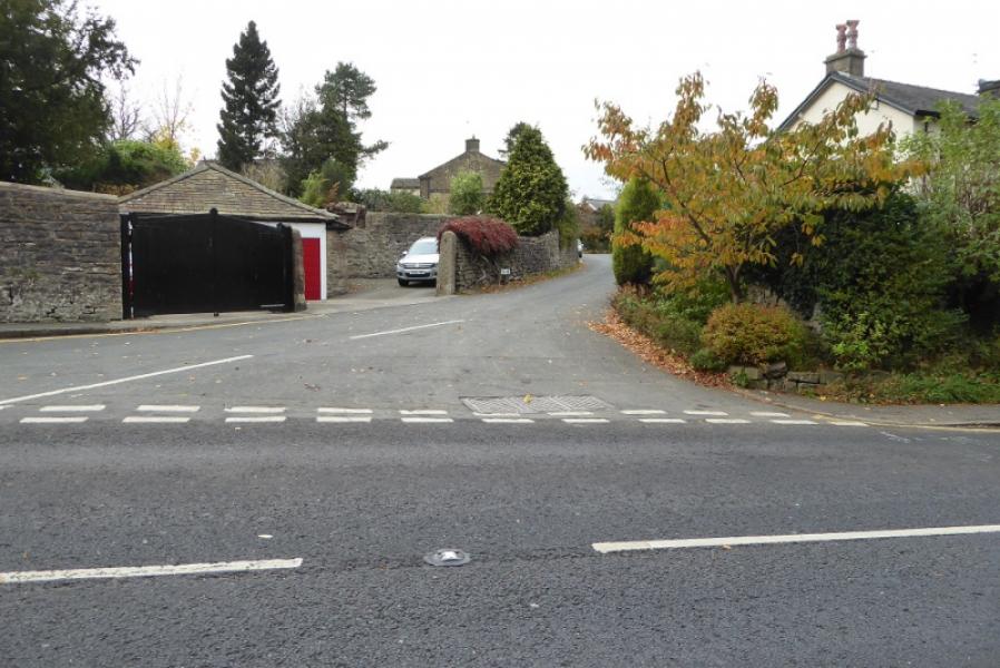
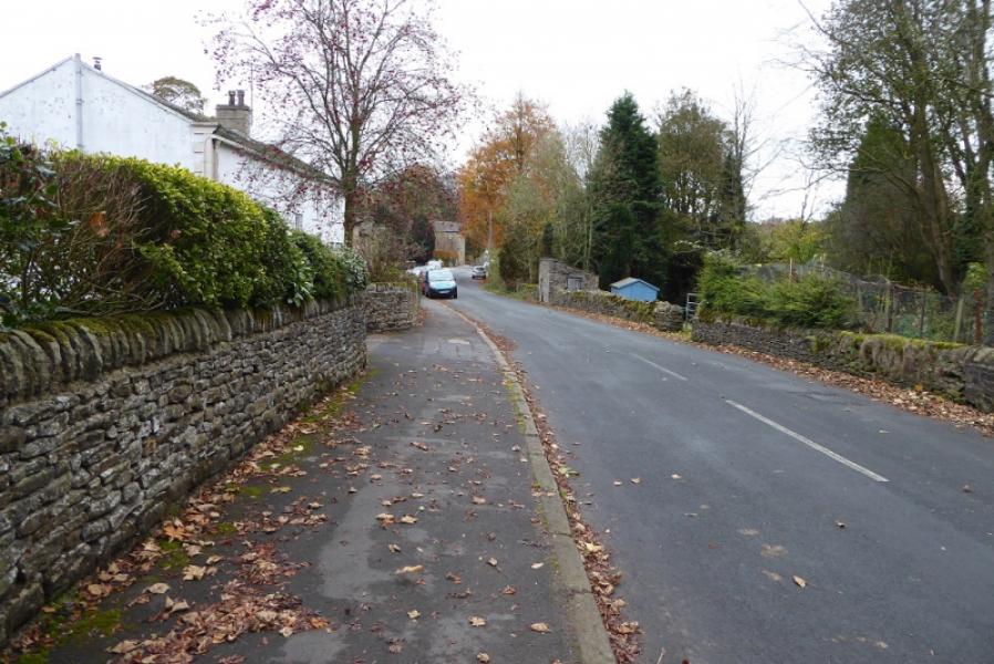
The far western end of Cowling which is a long village on the A6068 between Colne and Keighley. Coming from the west, drop off the main road into the start of the village, marked as Ickornshaw and Middleton on the map, and park about 300m down the minor road. The Pennine Way goes up a very minor road on the left with PW written on a telegraph pole!
Distance/Time
12 km (One way). About 3 – 4 hours. Double this if retracing the route.
Peaks
Pinhaw Beacon, 388 m, SD 944 472.
OS Outdoor Leisure 21: South Pennines. OS 103: Blackburn & Burnley
Introduction
This is a pleasant walk which is generally well signposted although there are some less obvious sections. There is a fair amount of up and down but no boggy sections. If retracing the route it is possible to use a different route from Lothersdale but it is no shorter or quicker. The route crosses several minor roads which could be used to meet up with a support driver if needed.
Route
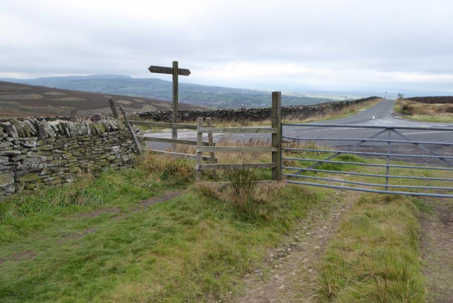
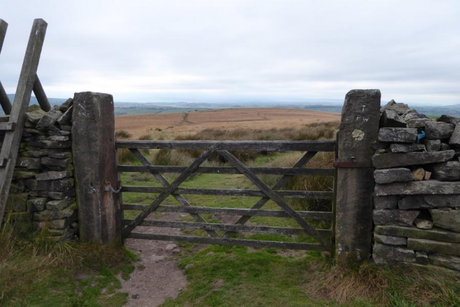
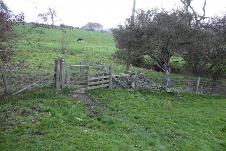
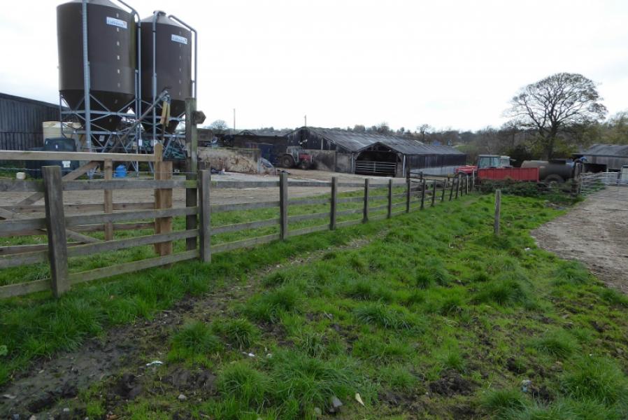
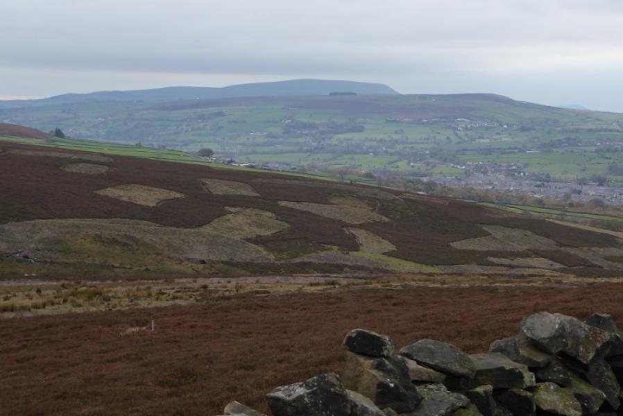
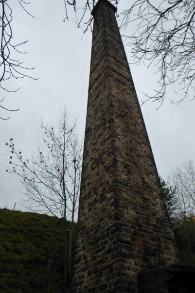
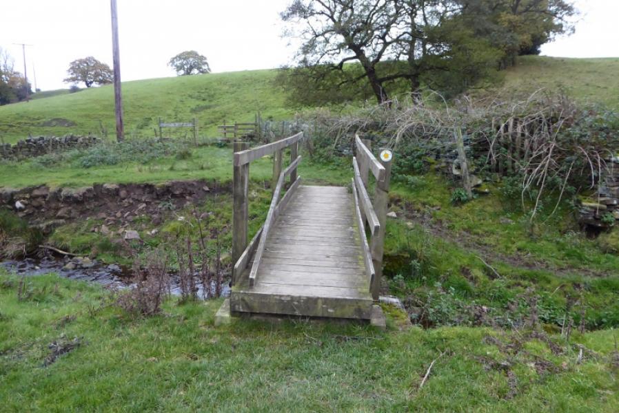
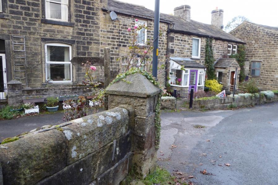
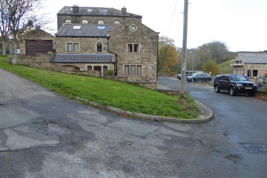
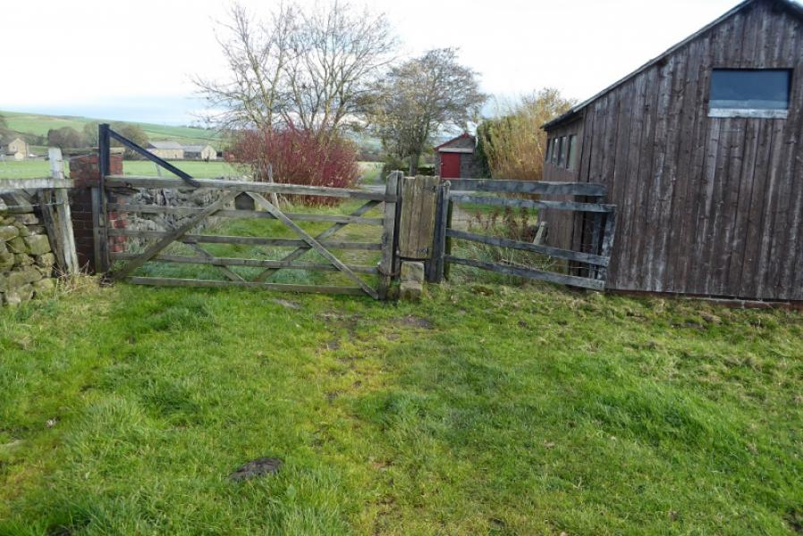
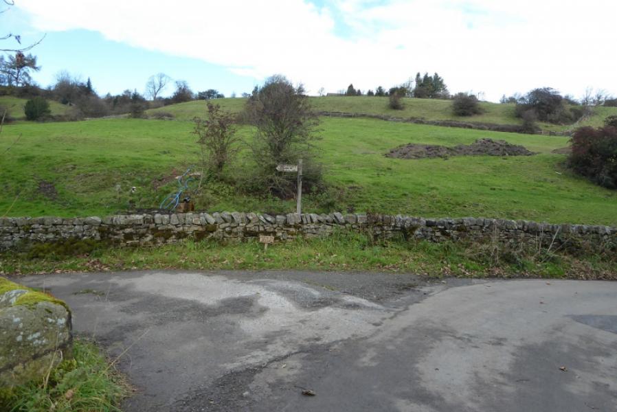
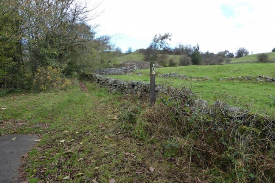
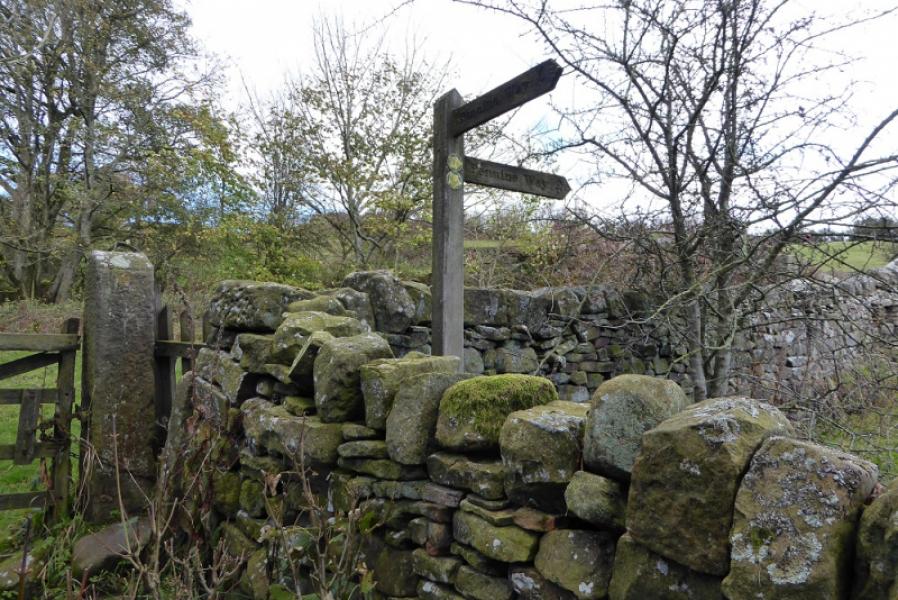
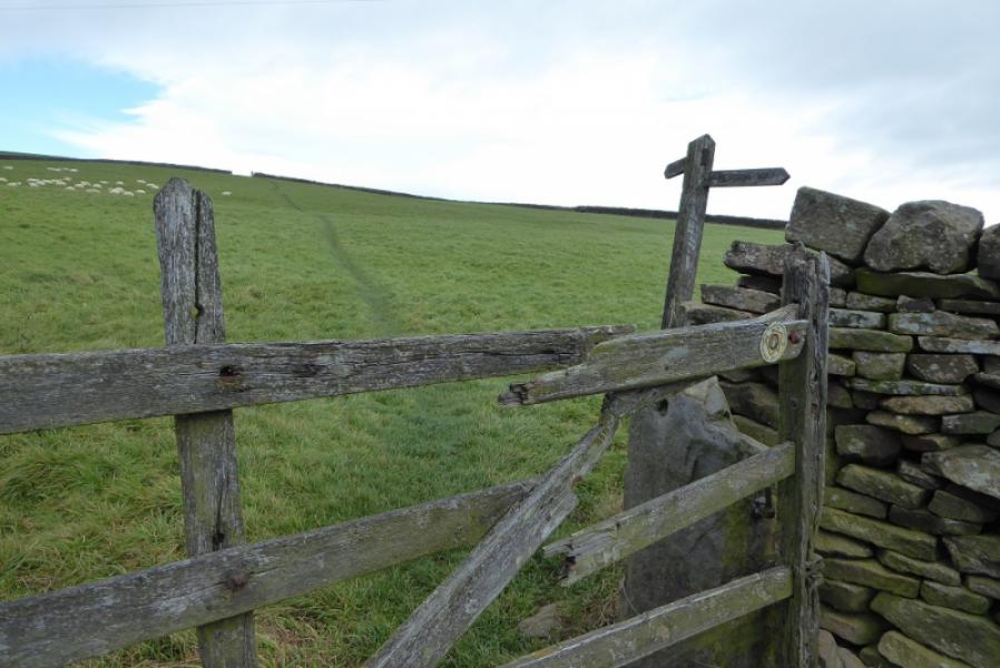
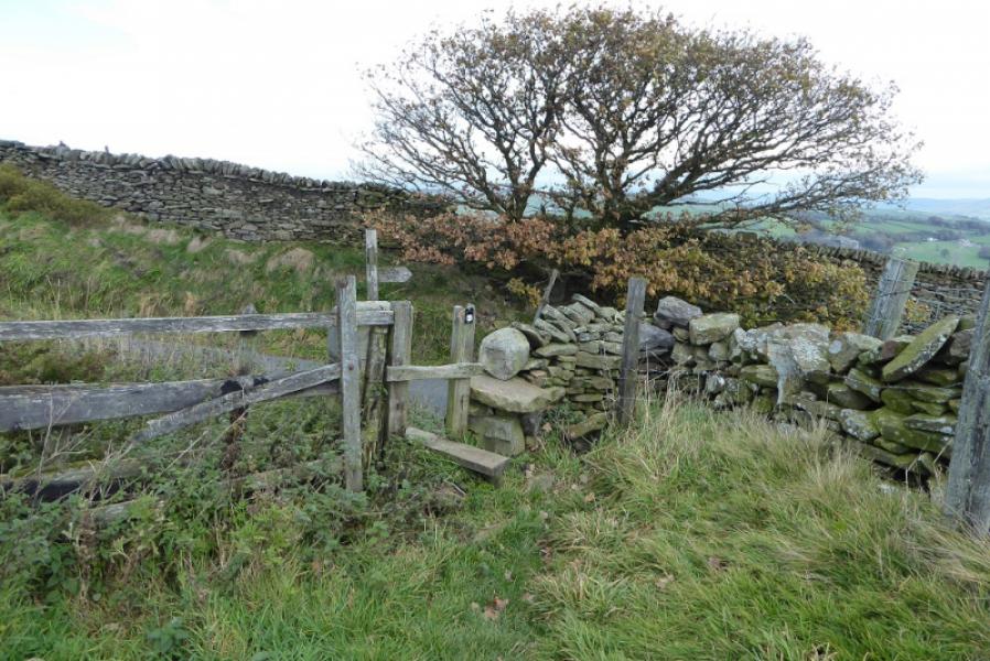
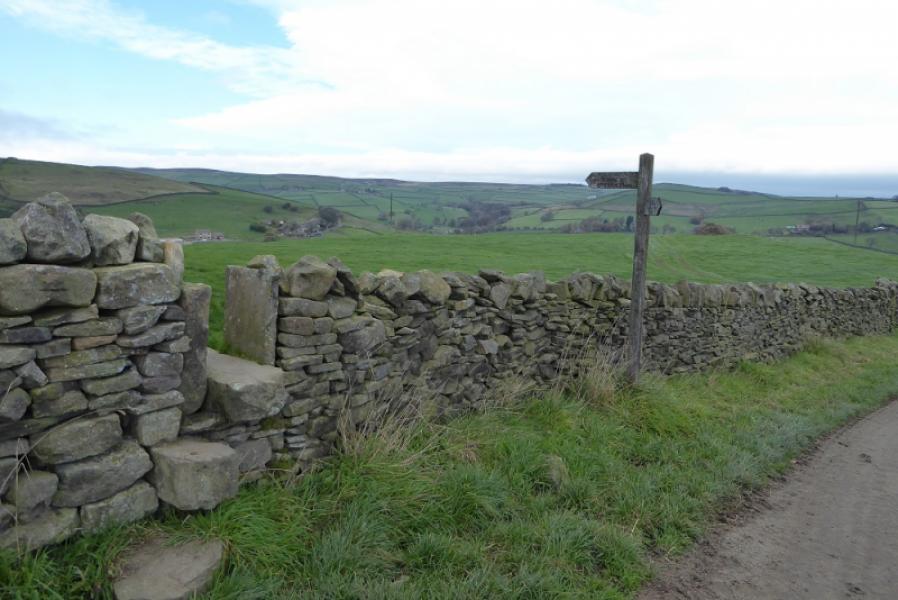
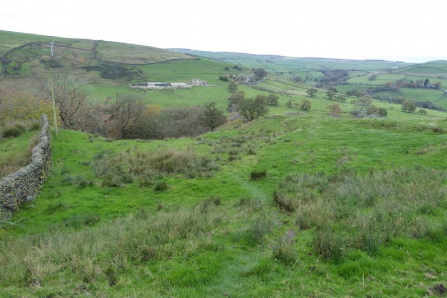
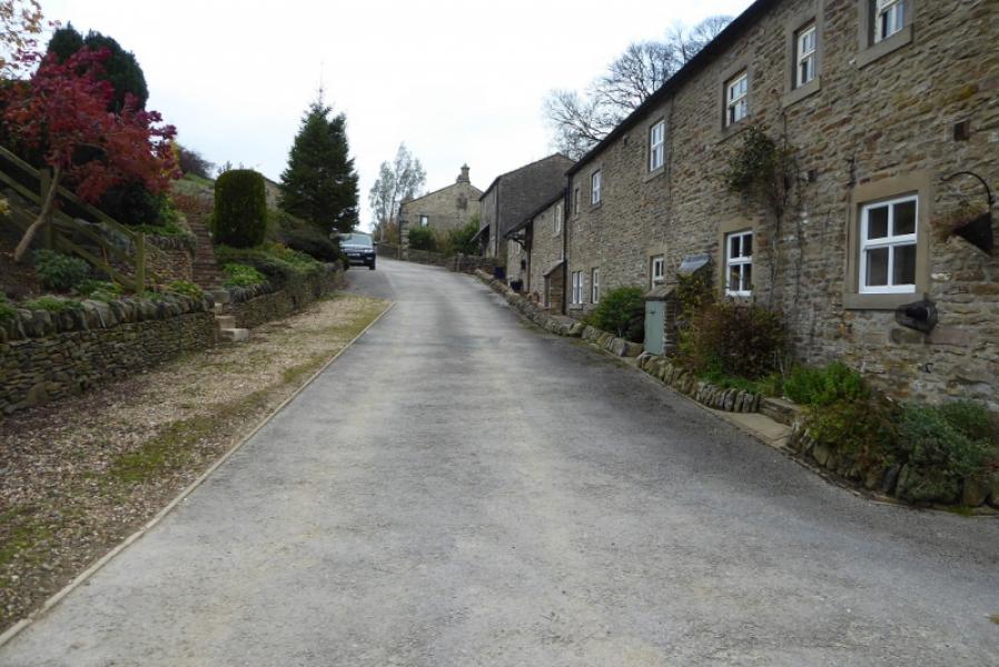
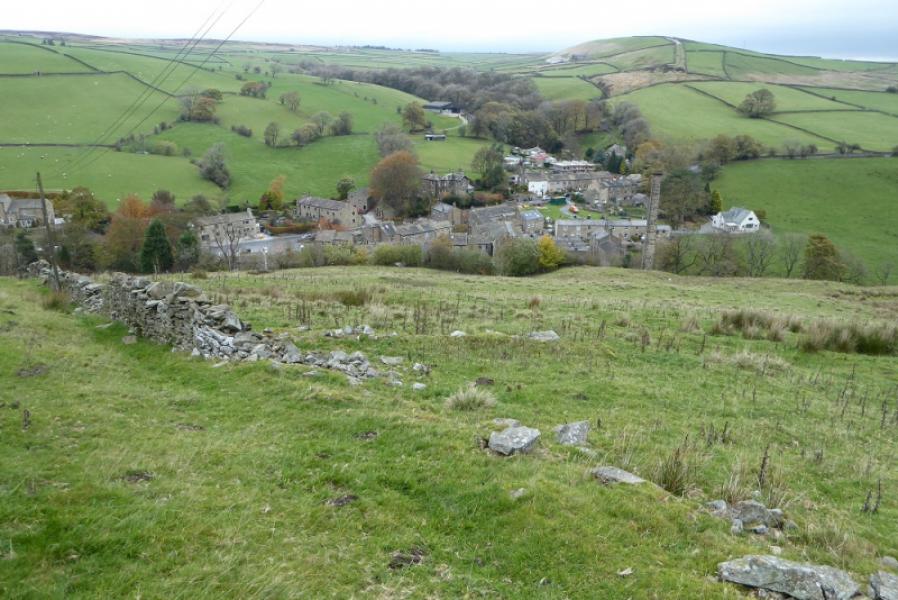
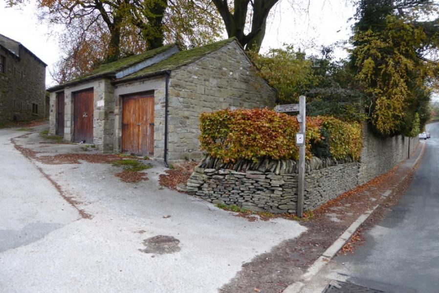
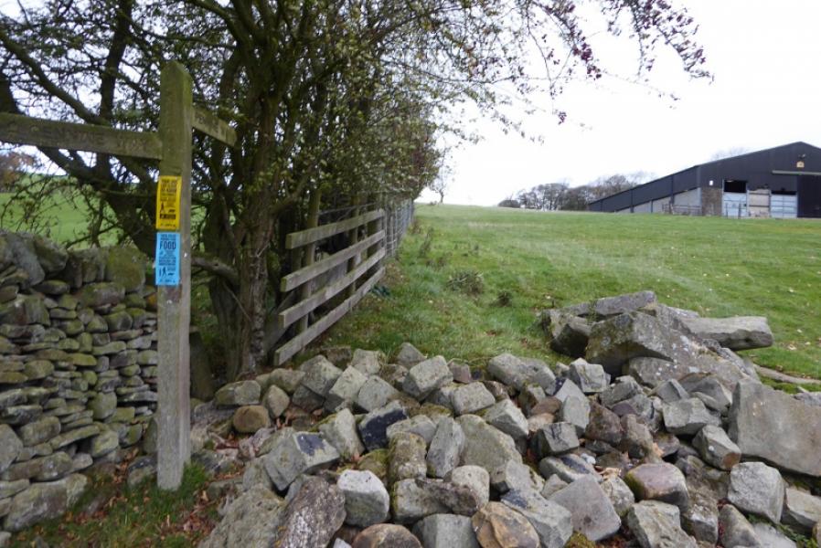
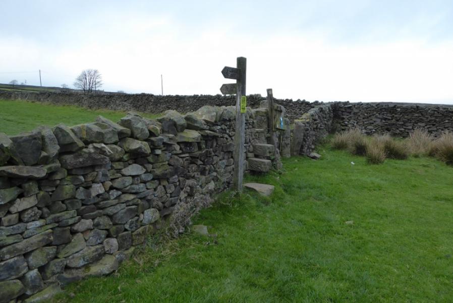
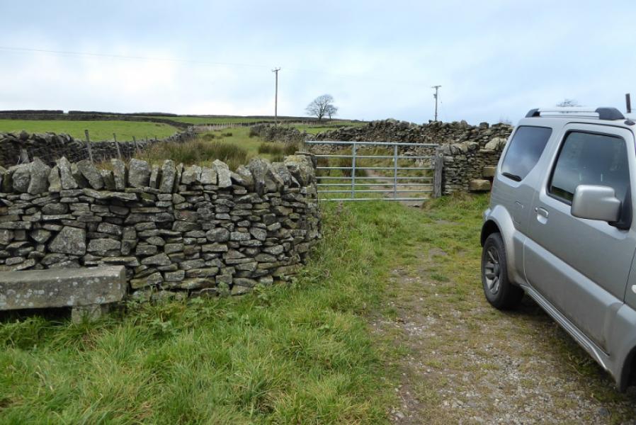
(1) Locate the road ascending from the telegraph pole with PW witten on it. Follow this up to its end where there is a gate. Just to the right of this is a stile giving access to a field and signed Pennine Way. Follow the path, passing to the left of a row of houses. Soon after, the Pennine Way goes right and soon reaches Gill Lane. Turn left and follow this to Gill Top Farm where the Pennine Way follows a minor road (right ish) down to Gill Bridge then left at the T junction. At the end of the road a path takes over before turning N and ascending fields to pass Low Stubbing. Further on it goes left then almost immediate right before ascending to High Stubbing which is passed on its left. Continue and soon reach Cowling Hill Lane. Turn right then almost immediate left on a minor road to Over House then left, still on the minor road. At the next corner, leave the road and take the path (not obvious) which descends along the right bank of a gully before entering an old wood and crossing Surgill Beck. Continue up the right hand side of the field to reach the minor road. Turn right and follow Woodhead Lane, past the cottages, until the road goes left and the Pennine Way goes ahead and descends into Lothersdale with the high chimney very prominent. Turn right and follow the road past the pub.
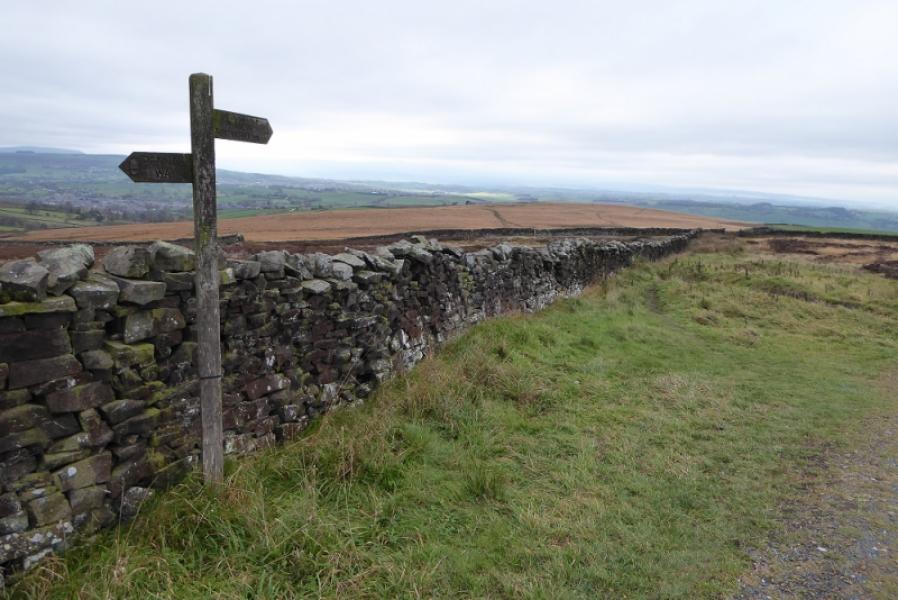
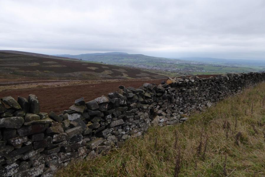
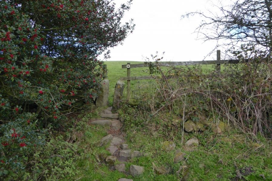
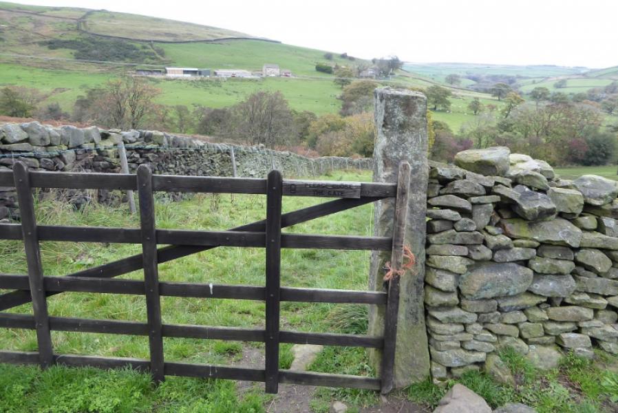
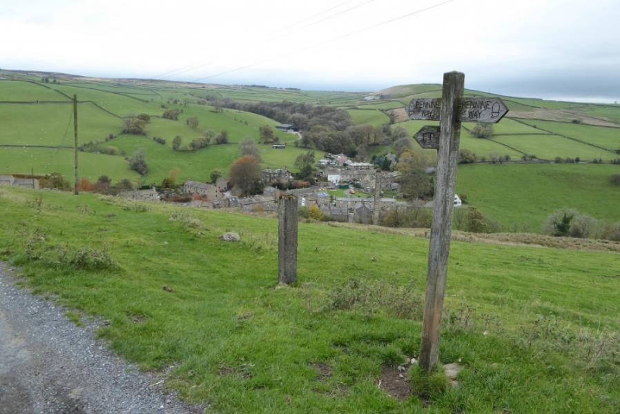
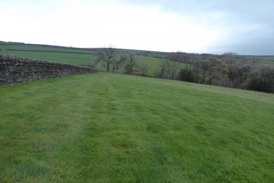
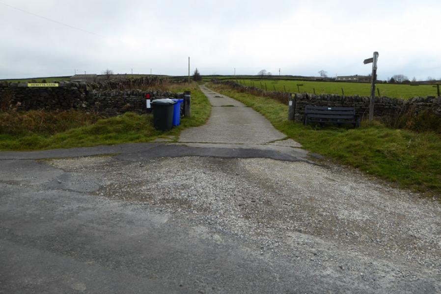
(2) Soon after the pub, the Pennine Way goes left up a lane. Follow the lane almost to its end then go up the left side of an open field (signed). The line is almost due N until a stile is reached where the path goes NW to soon reach White Hill Lane at the entrance to Hewitts Farm. Cross over and follow the track until it turns left to enter the farm. Continue ahead before truning left onto open moorland (signed). A fairly obvious path now winds its way up to the trig point which is Pinhaw Beacon, 388 m.
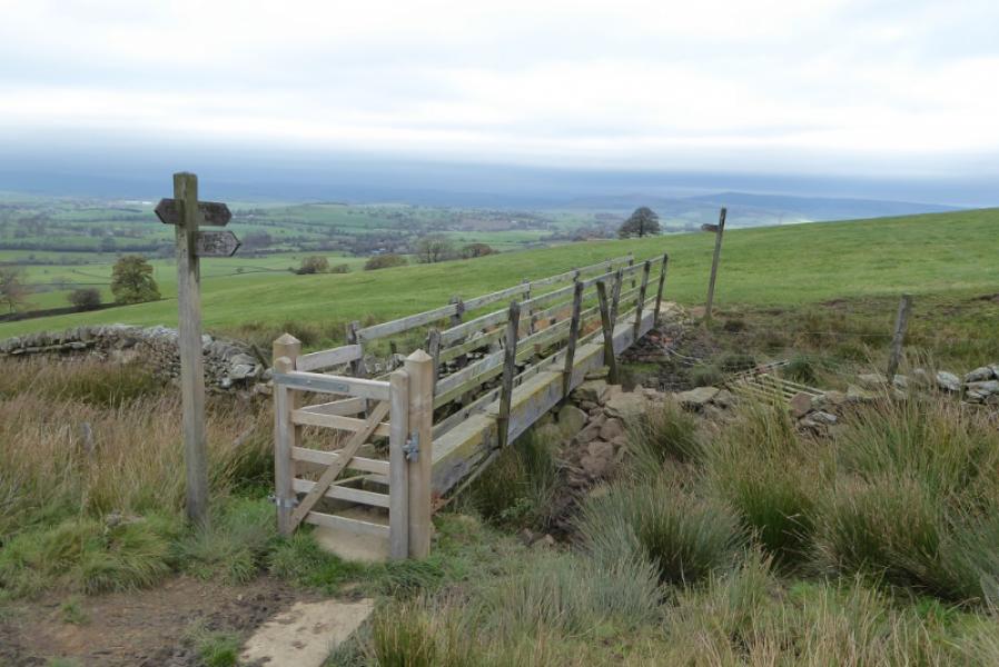
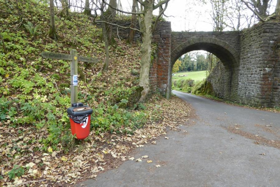
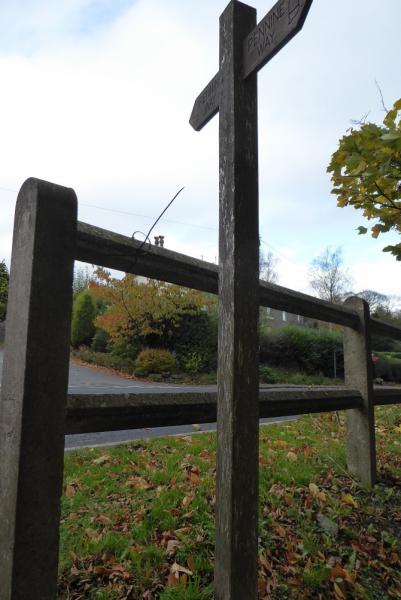
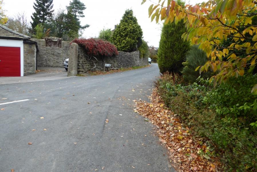
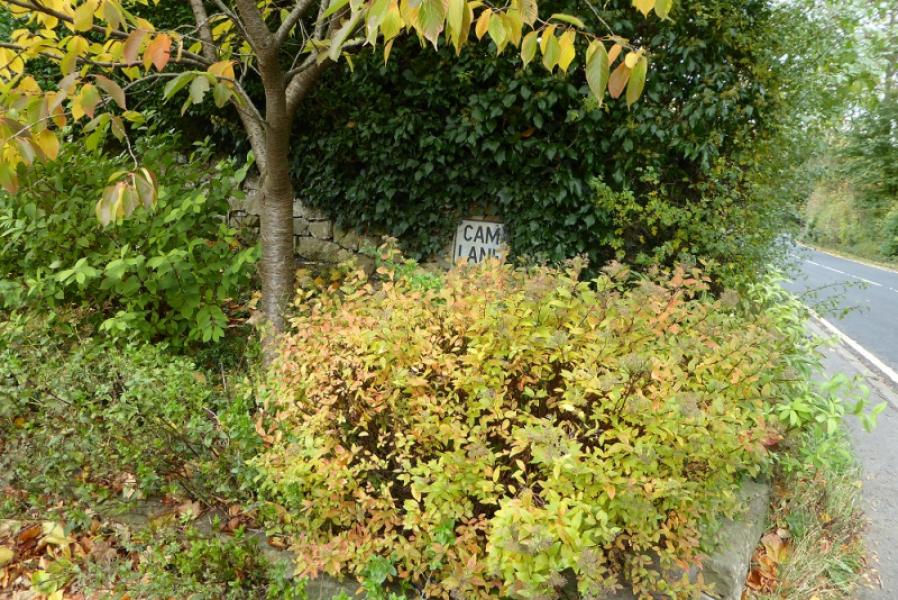
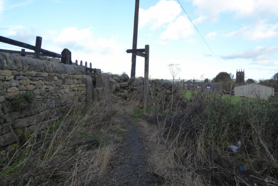
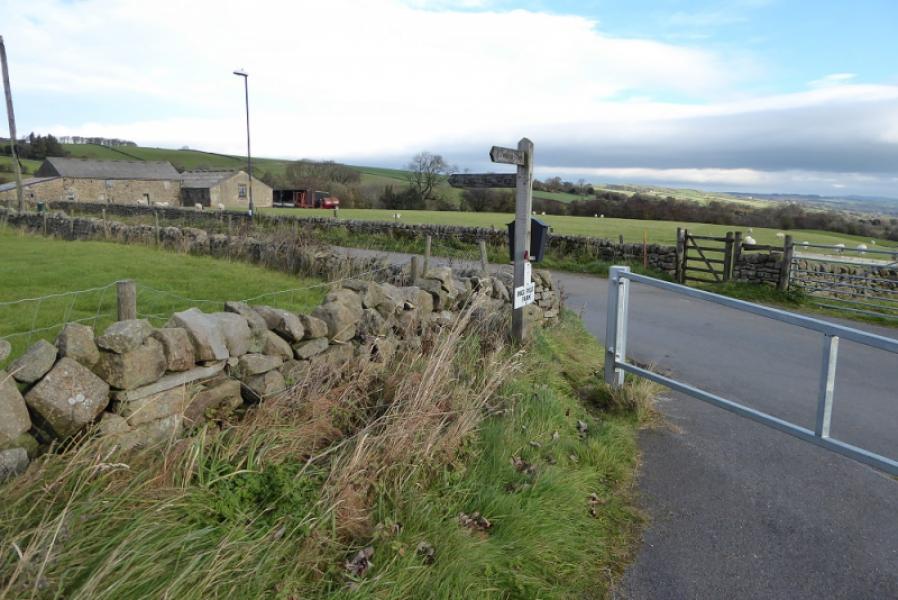
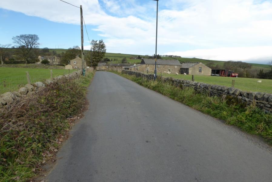
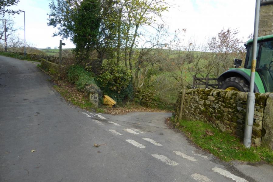
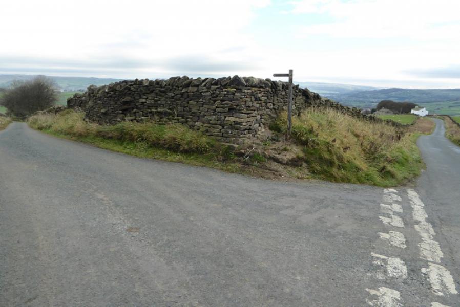
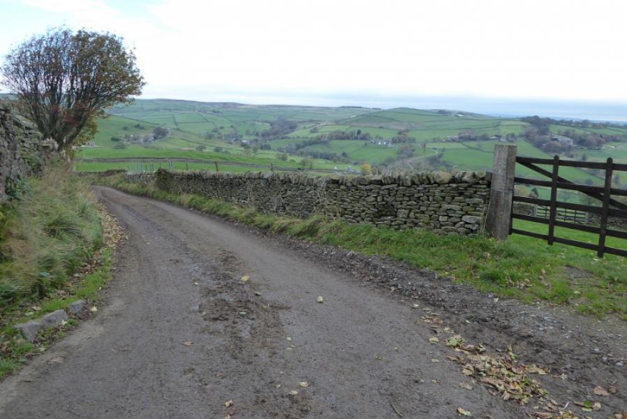
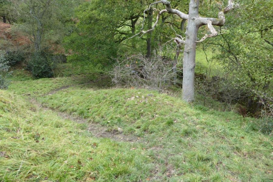
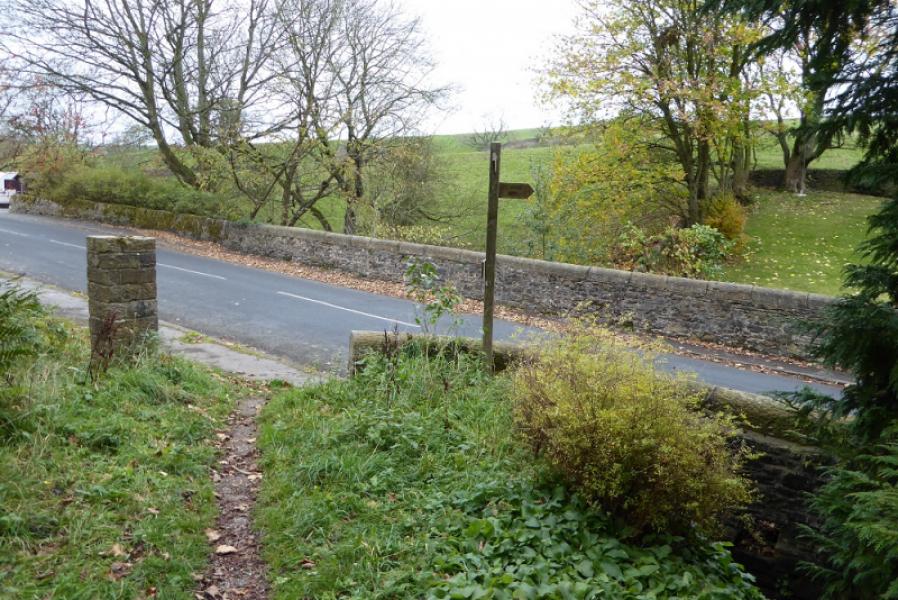
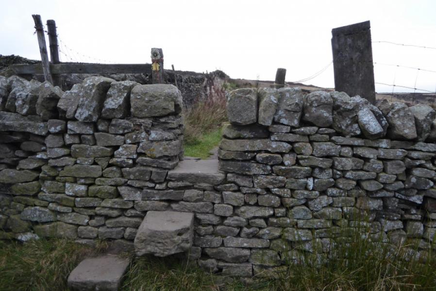
(3) Take the obvious path then track SW and follow it SW then NW to meet Carleton Lane at a crossroads. Go over and follow the minor road downhill until the Pennine Way goes off left after about 800 m. Soon after the path splits so follow the wall on the right which leads down on a fairly obvious path. Lower down it crosses a very narrow footbridge then continues down the right bank of a tree lined gully with not much hint of a path. The path crosses back below the gully and leads through Brown House Farm where it joins a minor road which passes under a railway bridge. Further on, go left at a T junction and pass under another railway bridge. Follow the road almost to where it joins the main road through Thornton in Craven and go up the bank at the signpost to reach the main road opposite Cam Lane which is the continuation north on the Pennine Way.
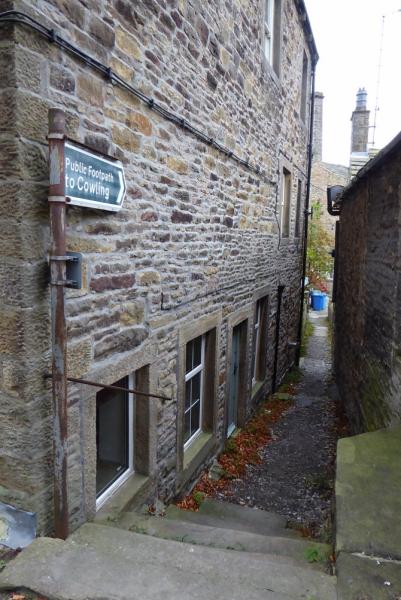
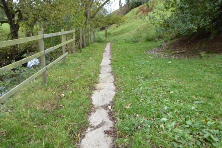
(4) If your car is back at the start then either retrace the whole of the outward route or turn left when the road at Lothersdale is reached then go right down a short passage which says “Footpath to Cowling”. Turn left at the end of the passage and walk for about 40 m to find a path between houses (not marked). This leads to the foot of the high chimney from where an obvious path follows the stream on the left. Ignore the footbridge near the sewerage works and reach another footbridge across a subsidiary stream, Surgill Beck. Cross over then go uphill (little sign of a path) but one may be found firther on which goes into a wood and emerges at some houses at SD 967 451 (not named on map). Cross the road and go over the stile about 10 m further on then another stile very soon after. Follow the not very obvious path roughly S to reach the house and road at Cowling Hill. Cross over and go through the farm to reach a grassy track at its bottom. Follow this to intersect with the Pennine Way between Low and High Stubbing then follow the Pennine Way back to Cowling.
Notes
(a) This walk took place on 3rd November, 2018.
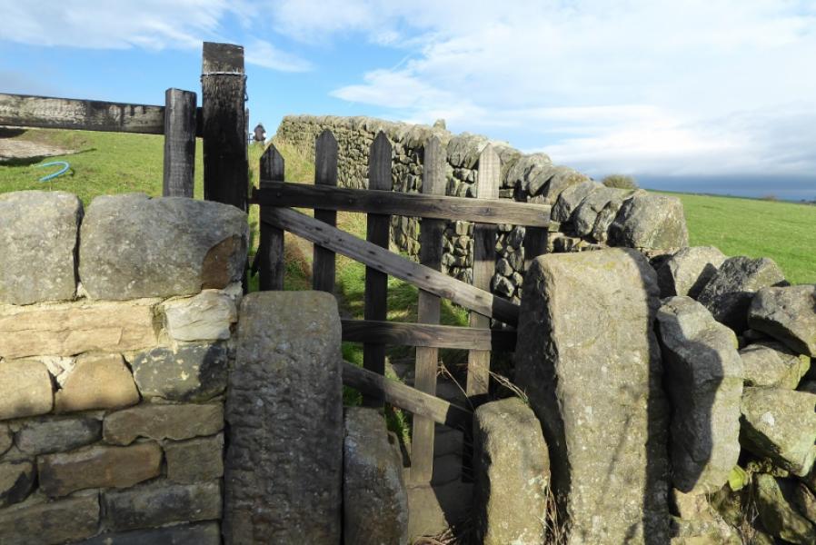
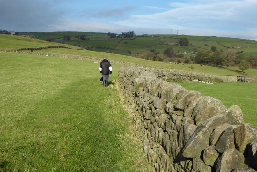
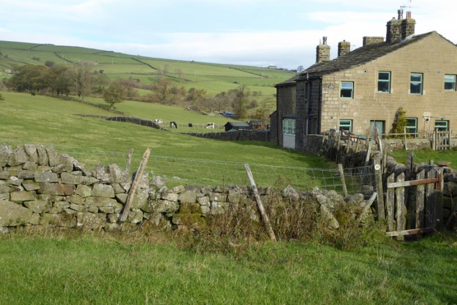
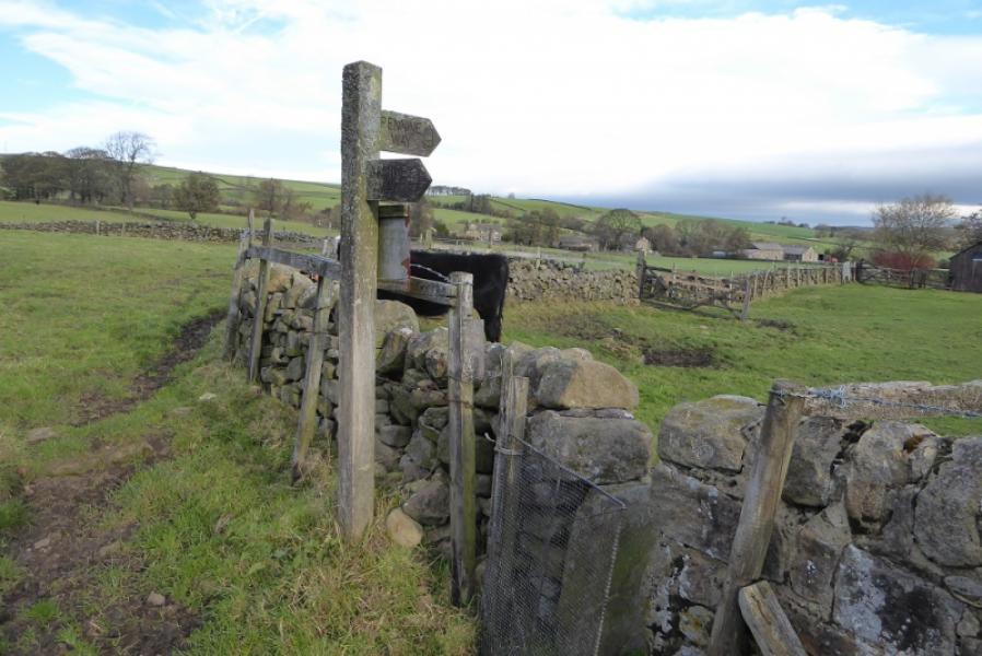
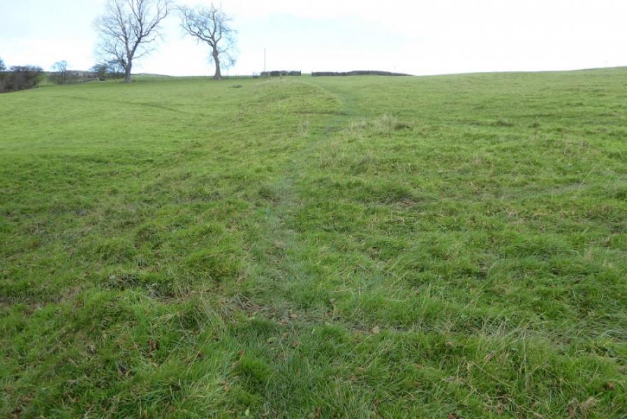
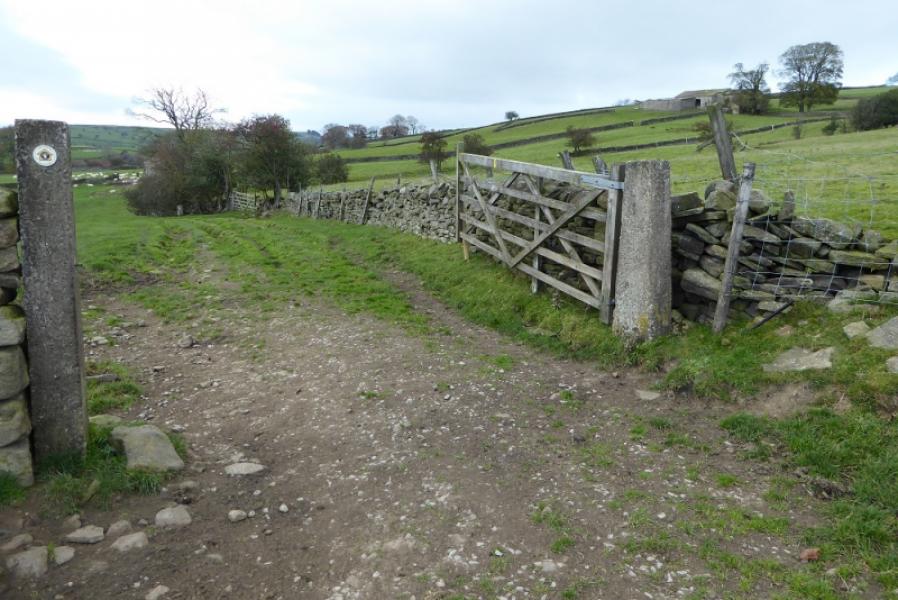
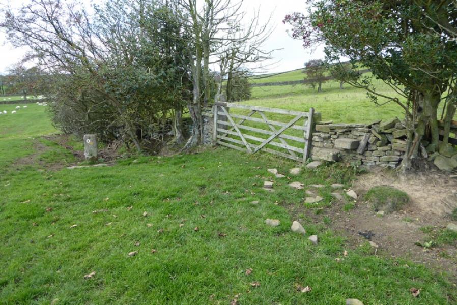
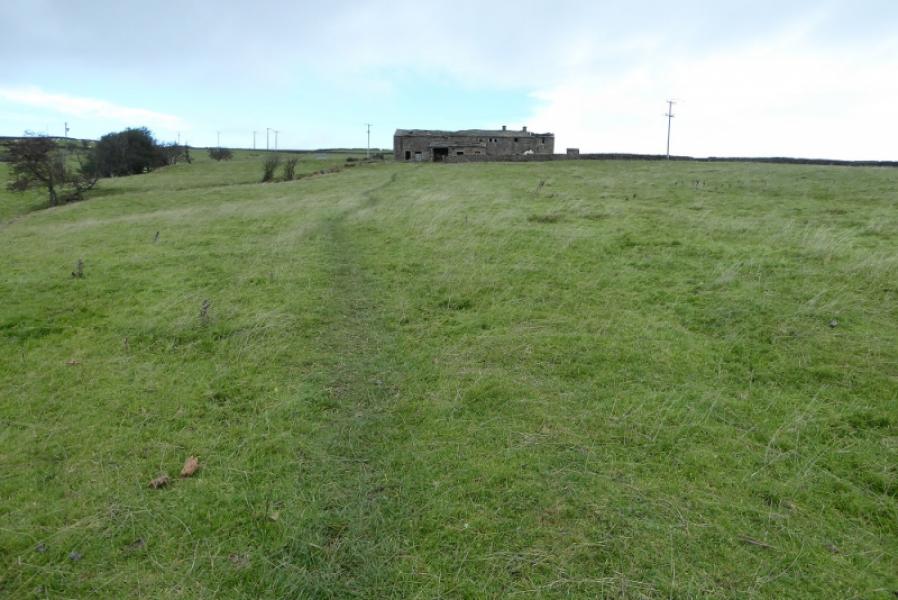
Photos - Hover over photo for caption. Click on to enlarge. Click on again to reduce.
![]()
![]()
![]()