Get Lost Mountaineering
You are here: Ireland » South West » Iveragh Peninsula
Purple Mountain Range Clockwise via Tomies Chimneys
Purple Mountain, Shehy Mountain, An Chathair & Tomies Mountain clockwise via Tomies Chimneysfrom Kate Kearney's Cottage
Start/Finish
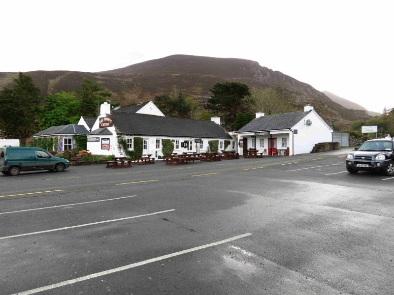
Large, free, car park opposite Kate Kearney's Cottage, a pub, in the Gap of Dunloe which is signposted off the N72 Killorglin road to the west of Killarney
Distance/Time
16 km Approx 8 hours
Peaks
Purple Mountain, 832 m, V 887 852 (Irish National Grid System)
Shehy Mountain, 762 m, V 902 857.
An Chathair, 735 m, V 895 868.
Tomies Mountain, 568 m, V 891 874.
Irish OS Discovery Series Map 78 (1:50000)
Irish OS Macgillycuddy's Reeks (1:25000)
Introduction
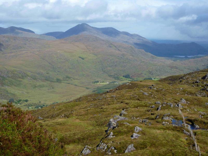
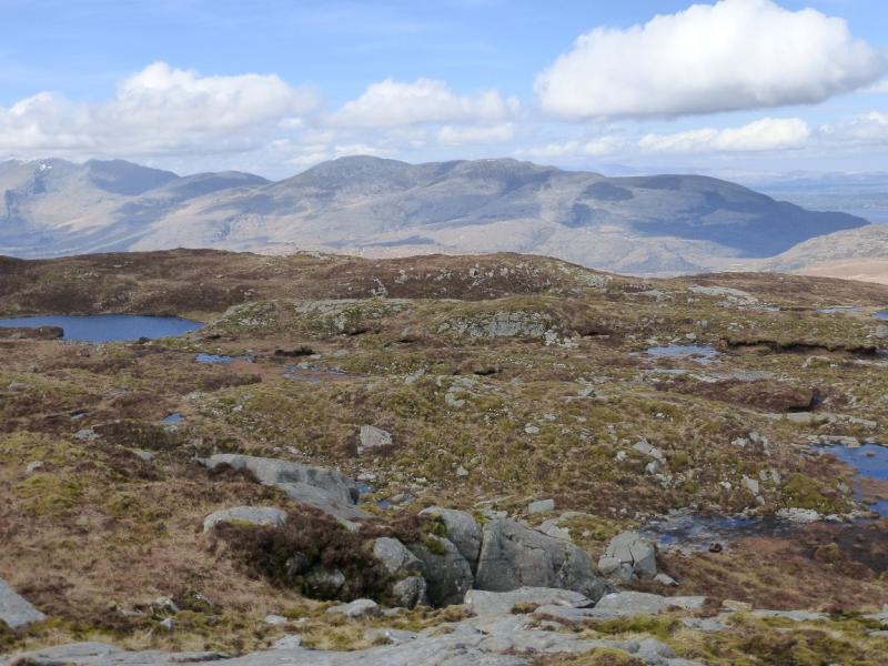
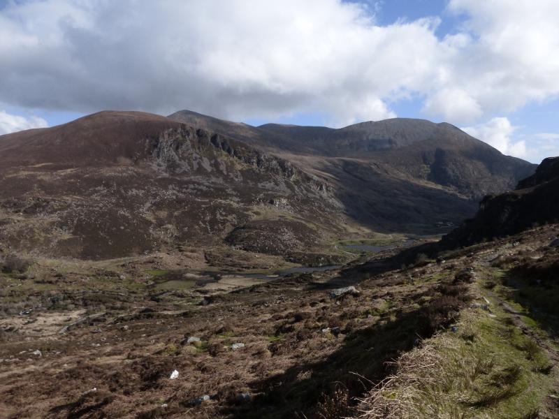
These hills dominate the SW side of Lough Learne and are well seen from Killarney. They are quite rough hills and the paths can often be boggy. They offer fine views over Killarney's Lakes to the east and to Macgillycuddy's Reeks to the west with the Maolan Bui to Cruach Mhor ridge being very prominent. Navigation is relatively straightforward although the ascent of Tomies Mountain, from the top of the Tomies Chimney gully, would need some care in mist. If you need to, you should be able to easily reset your GPS to the Irish National Grid System. It should be noted that there are some naming discrepancies between the 1:50000 map and the 1:25000 map. The peaks above have been named from the 1:25000 map. On the 1:50000 map, An Chathair is named as Tomies Mountain and some guide books refer to An Chathair as Tomies S Top. On the 1:25000 map, Tomies Mountain is shown further north, and lower, than on the 1:50000 map.
Route
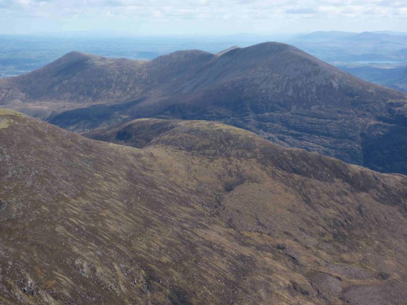
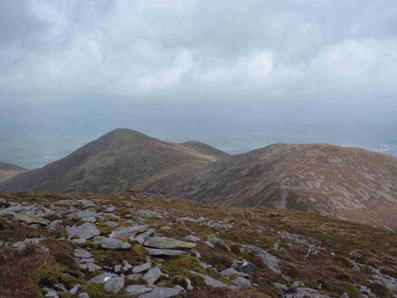
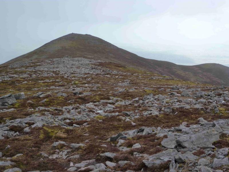
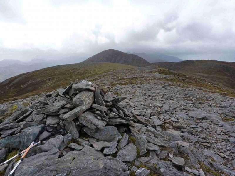
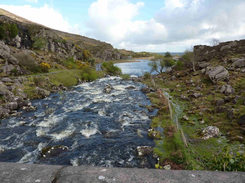
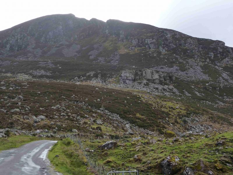
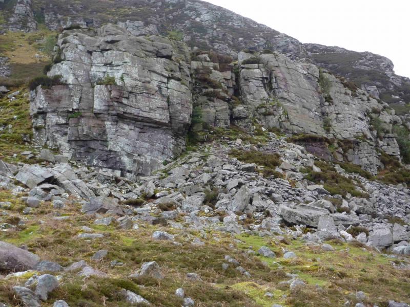
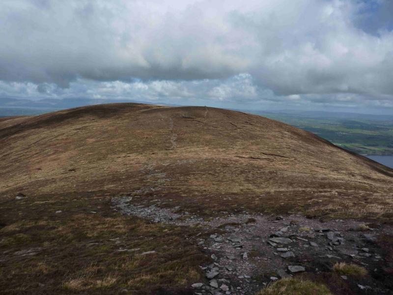
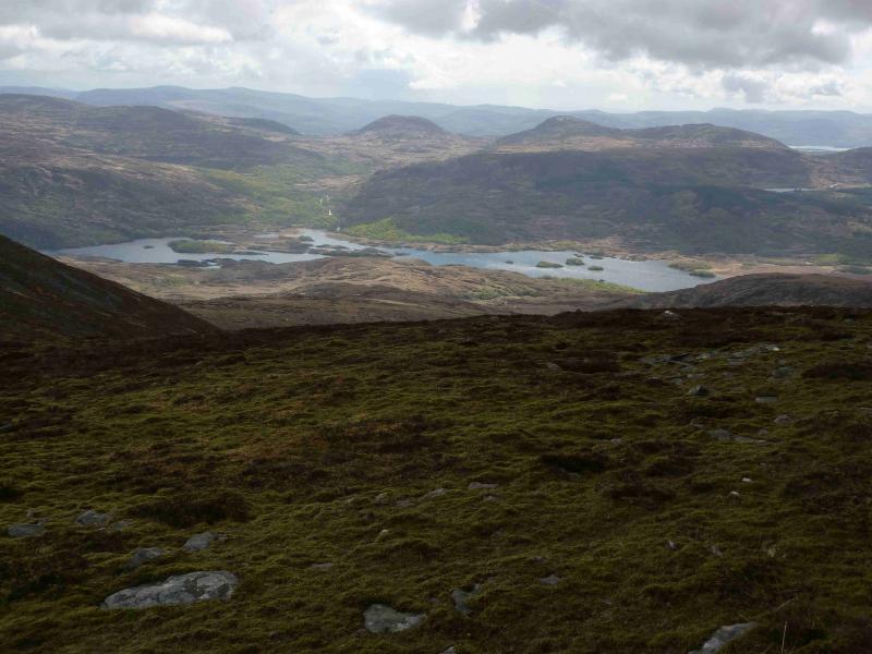
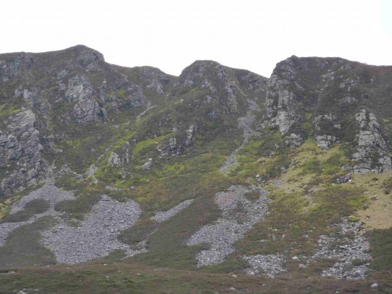
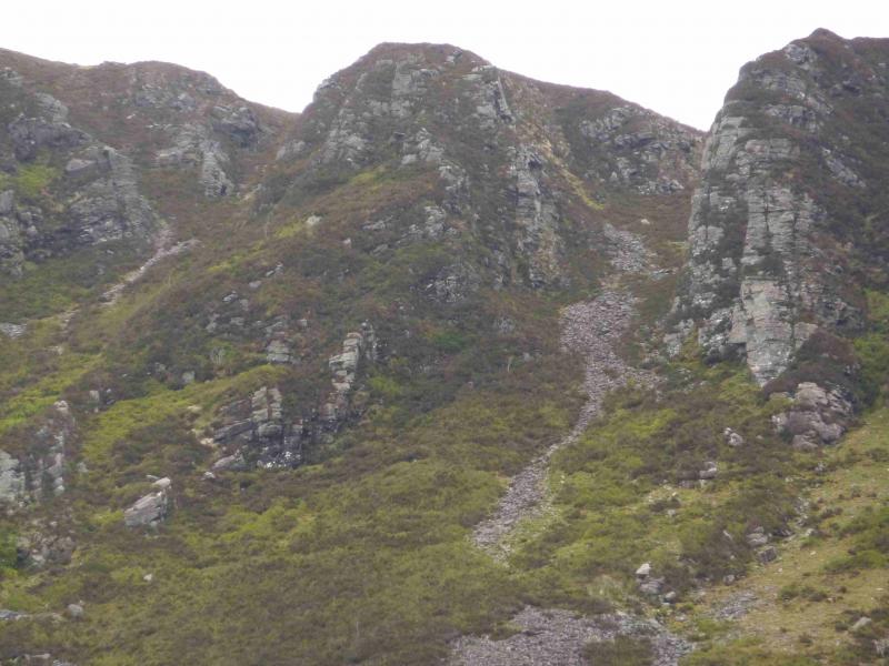
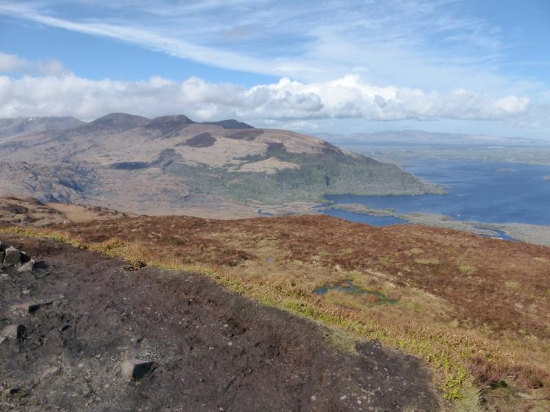
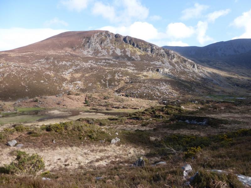
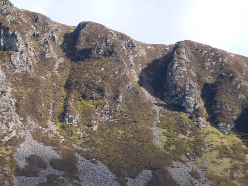
(1) From the car park, walk up the scenic Gap of Dunloe road, for about 1 km, to the first bridge over the river. Just over the bridge go through the “gate” to pick up a path which initially shadows the road before heading uphill. towards Tomies Chimneys which are the two adjacent gullies on the skyline. The path is faint at first but soon becomes more defined. Do not lose the path as the alternative is deep heather. Soon the path runs alongside a stone wall then below telegraph wires before ascending to the left of a prominent buttress. Beyond here the ground steepens and it is even more important to follow the path as it climbs towards the gullies which now lie above to the left. Care is needed not to lose the path on the stony sections. In places, heather has encroached on to the path. The path leads to the right hand gully where it becomes well defined and ascends, less steeply, to the right of a stony section. Soon emerge from the top of the gully and follow a path, faint in places, which initially goes left then curves around to reach the cairn which marks the summit of Tomies Mountain, 568 m. Note that this top is called Pt 568 on the 1:50000 map and in some guidebooks
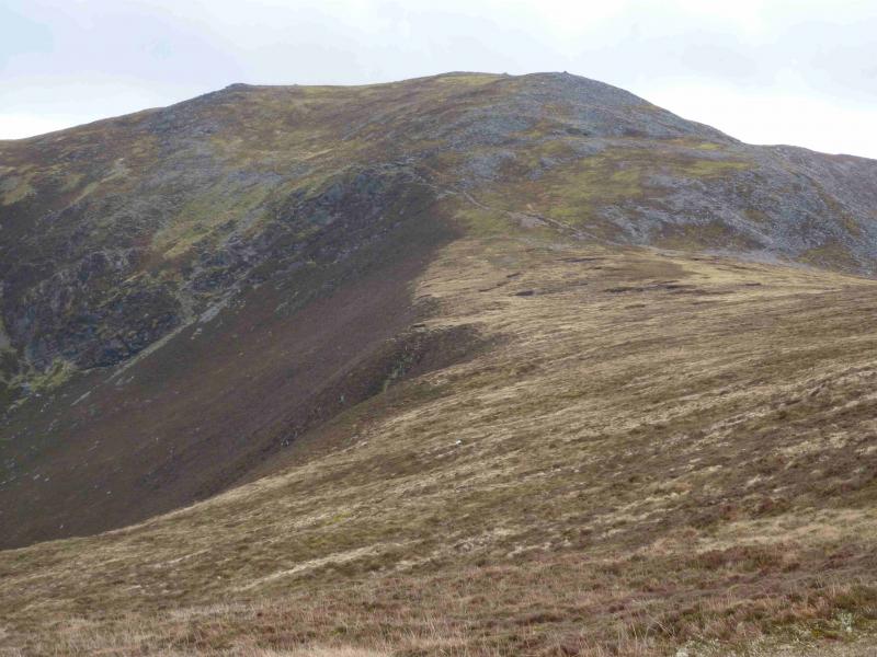
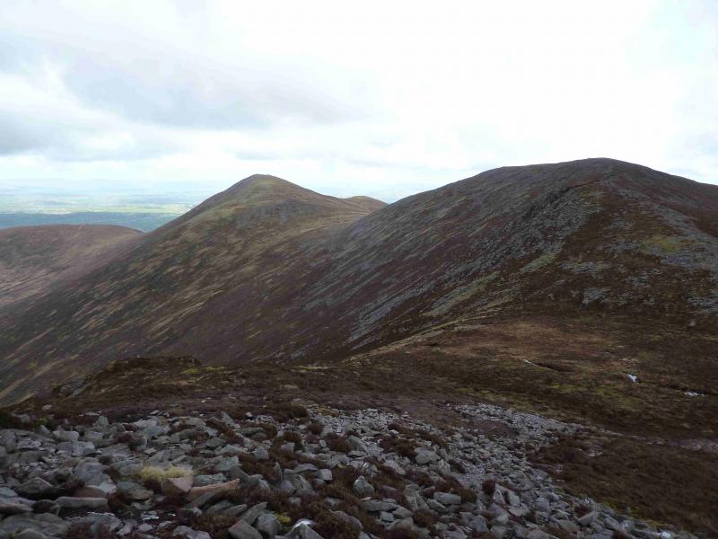
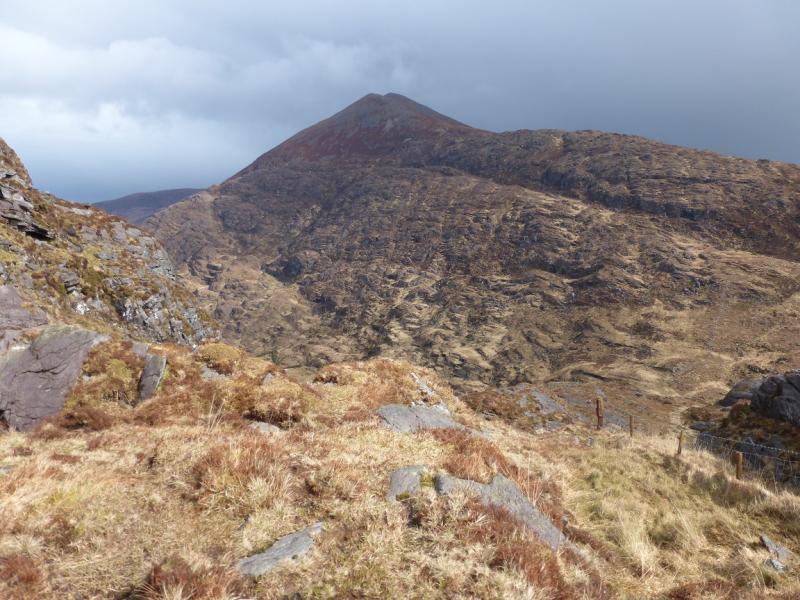
(2) Descend slightly, roughly SSE, on a path, into a shallow dip then ascend up to the large cairn, with a shelter cairn nearby, which marks the summit of An Chathair, 735 m. Note that the most distinct path goes off to the east so leave it when it strays too far off course. Note that An Chathair is called Tomies Mountain on the 1:50000 map and also in some guidebooks.
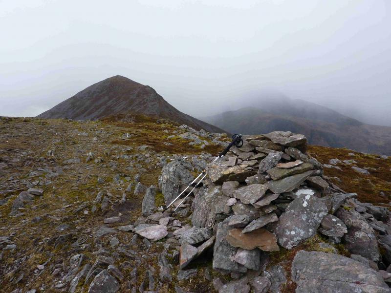
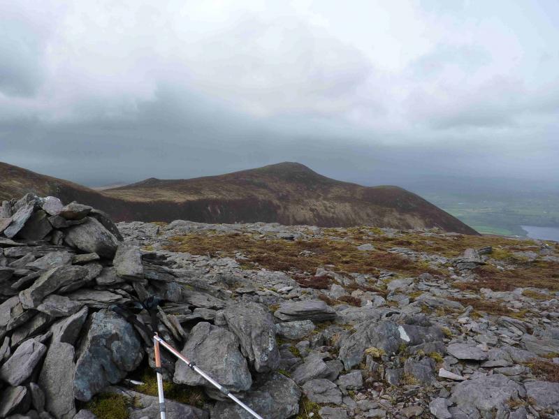
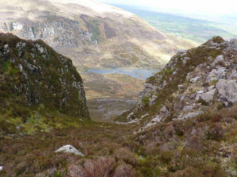
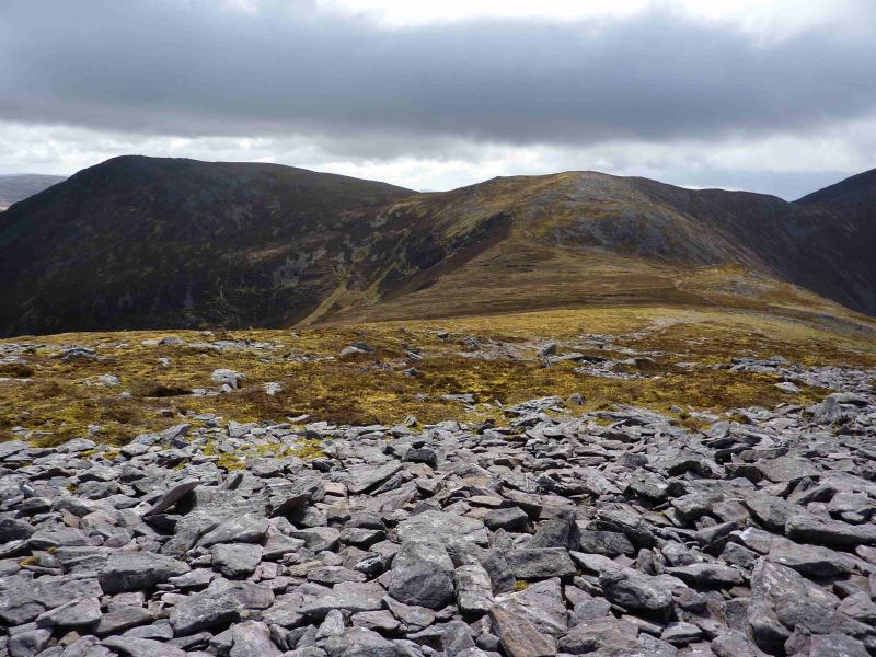
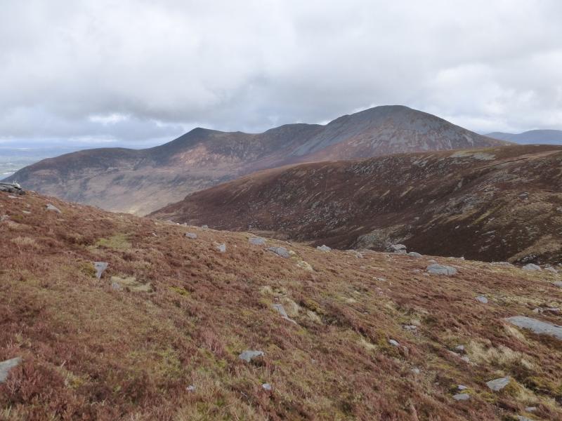
(3) Descend S, on a good path, into a broad col where there is a stony hump about 20 m high which is on the right, W, of the path. Look for a path which traverses the NE flank of Pt 757. There is a simple rock step on this path which runs out just before the col between Pt 757 and Shehy Mountain. From the col, head ESE then ENE over easy stony ground, passing a few cairns, to reach a medium cairn which is the summit of Shehy Mountain, 762 m. A short distance beyond the summit is a smaller cairn from which there are excellent views over Killarney's Lakes.
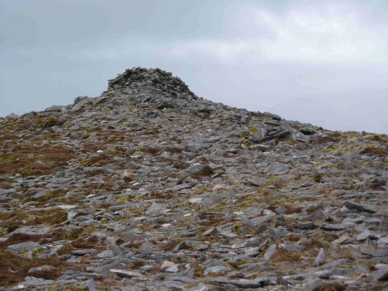
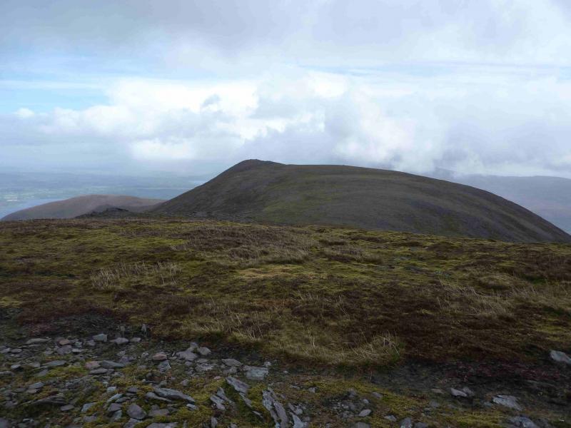
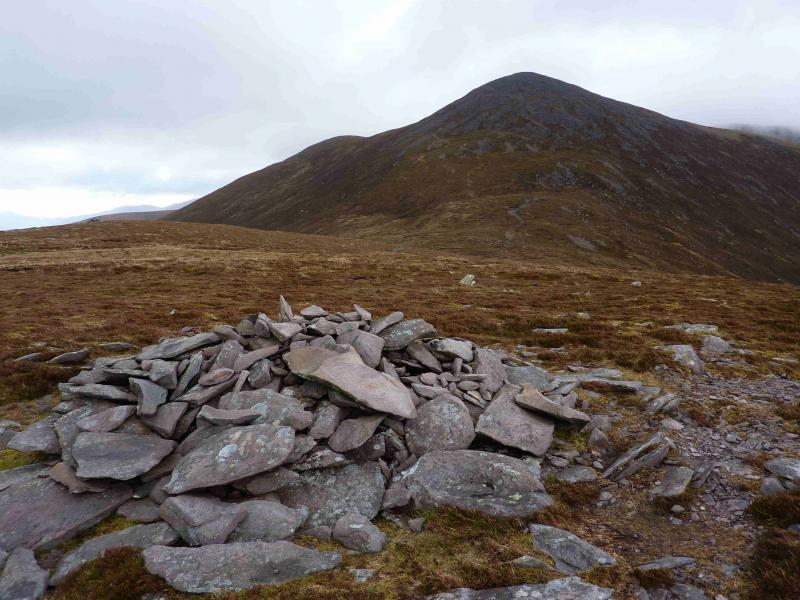
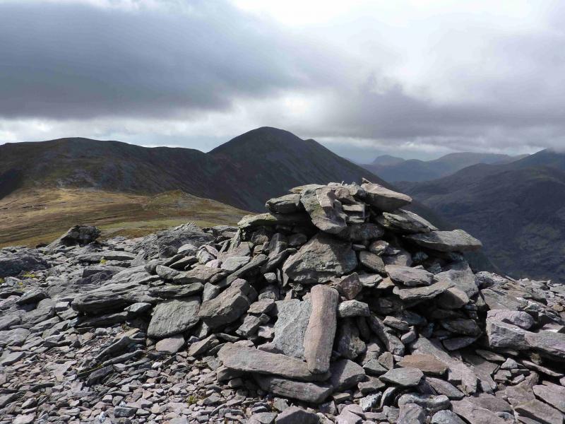
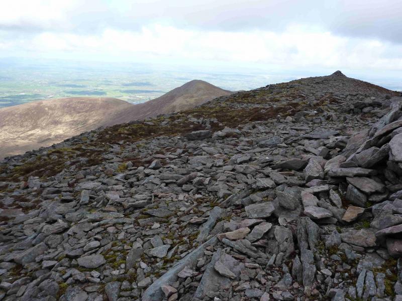
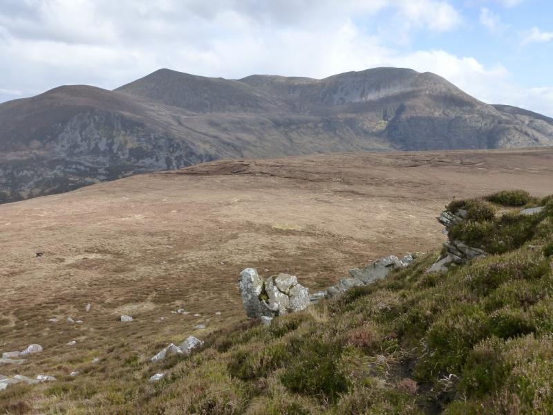
(4) Retrace to the col then continue ahead and ascend to Pt 757 where there is a cairn on the summit. Note that some guide books refer to Pt 757 as Tomies South Top. Descend SW into a well defined col then ascend up the other side, where there is a choice of paths, to reach the large shelter cairn which is the summit of Purple Mountain, 832 m. The cairn just before the shelter cairn appears to be of similar height.
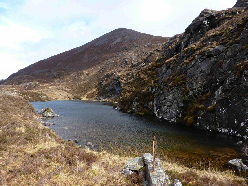
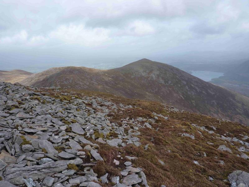
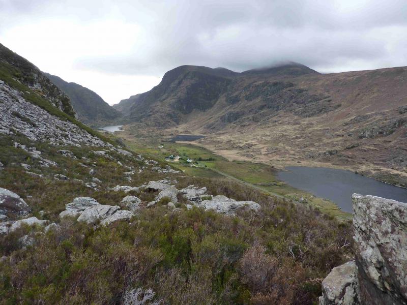
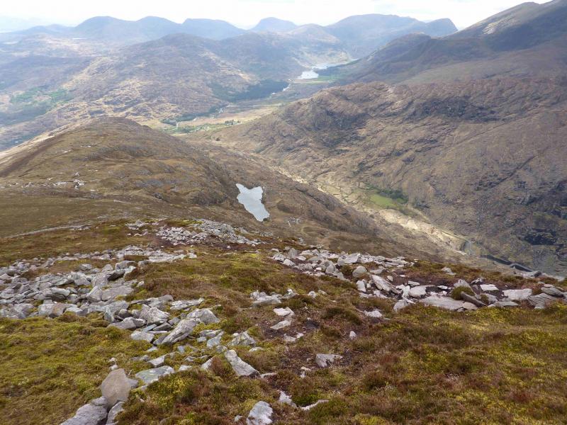
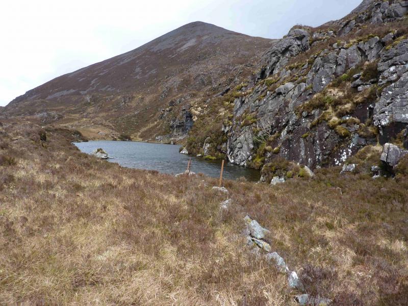
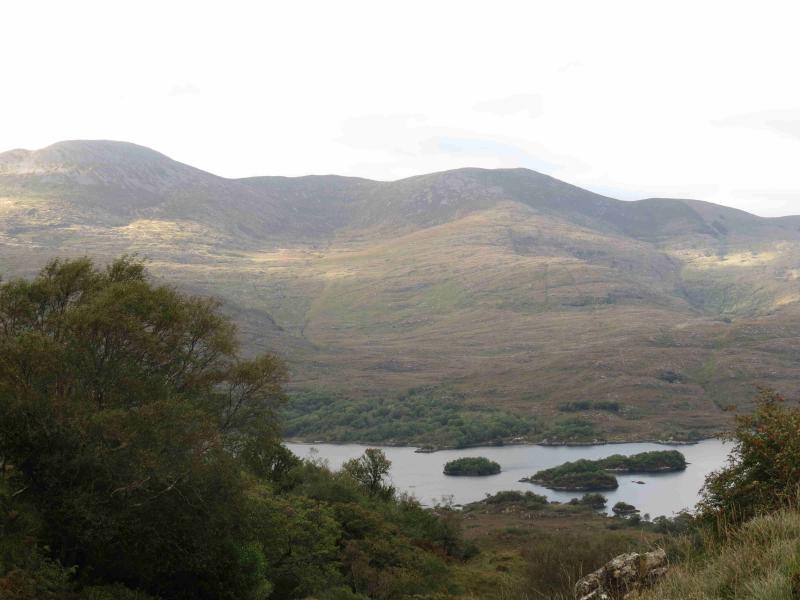
(5) Descend initially SW, following a line of cairns. Drop into a shallow dip then ascend the other side where there is a small cairn. Continue down the ridge which heads S on easy slopes with a good path most of the time except where stony areas are encountered. The stony areas can be avoided by drifting to the E flank of the mountain where the ground is more grassy and there is a distinct path. When the ground almost levels off, the path swings W and descends to the N end of Glas Lough which will be clearly visible in good weather. Once at Glas Lough, which is very scenic, the path down to the Head of the Gap of Dunloe shadows a wall and stream for about 1 km before swinging off W for the final descent to the road. The path from Glas Lough can be very boggy but there are several paths, the best of which seem to be furthest from the wall. Once on the road, it is a 6 km walk back to the start.
Notes
(a) This walk took place on 18th April, 2012.
(b) Do not attempt a direct route from Purple Mountain back to the road as the ground is very steep and rocky with many crags not shown on the map.
(c) The Fossa camp and caravan site, at V 910 923 is very good and very well situated for the Killarney mountains, especially Macgillycuddy's Reeks and Purple Mountain as it is only about 3 miles from Kate Kearney's Cottage. At Fossa, there are camping and caravanning facilities as well as a hostel and static trailer vans can also be hired. For campers, there are excellent showers (small extra charge) and there is a good campers’ kitchen with tables, sinks and cooking area if you have your own cooker and pans. Gas rings are available (small extra charge). There is also a TV room. Reception is open quite late in the high season and the staff are very helpful. A computer is available for hire and there is a freezer in reception. There is a bus stop outside the site for Killarney. There is a 24 hour Tesco which is off the northern bypass (turn right at 4th roundabout then right at next). Out of high season, it can be better for 2 people to rent a trailer van than to camp separately.
Photos - Hover over photo for caption. Click on to enlarge. Click on again to reduce.