Get Lost Mountaineering
You are here: England » Yorkshire Dales » Southern Area
Gargrave to Malham via Pennine Way
Gargrave to Malham via Pennine Way
Start/Finish
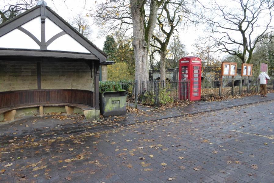
Gargrave bus stop and toilets on A65 in centre of village
Distance/Time
12 km (One way). About 3 – 4 hours. Double this if retracing the route.
Peaks
No peaks on this route
OS Outdoor Leisure 10: Yorkshire Dales Southern Area
OS 103: Blackburn & Burnley OS 98: Wensleydale & Upper Wharfedale
Introduction
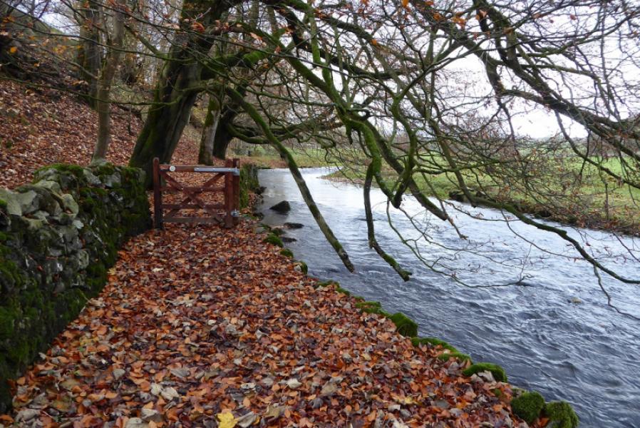
This is a fairly gentle section of the Pennine Way with little ascent. Much of the route is across grassy fields with no well worn paths but the route is generally easy to follow apart from a short section near Gargrave. After Airton, the River Aire is followed much of the way.
Route
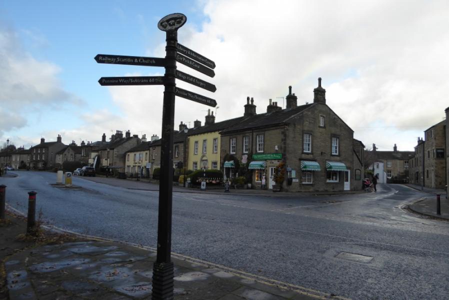
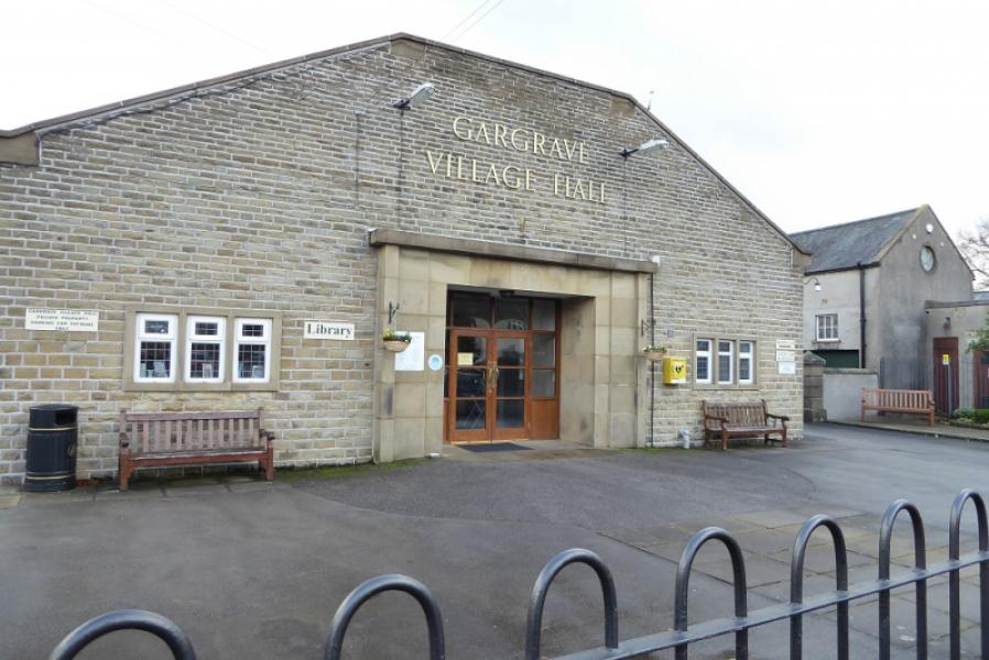
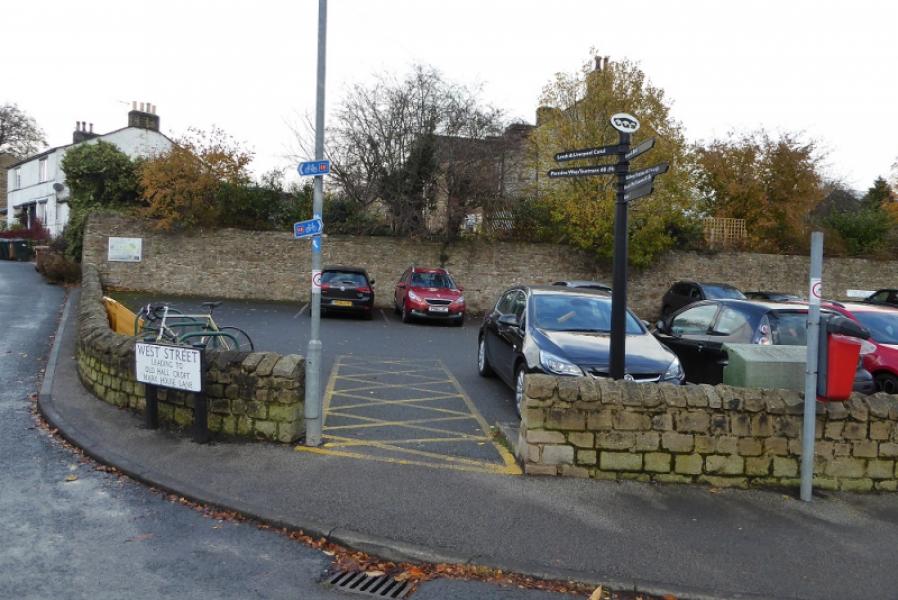
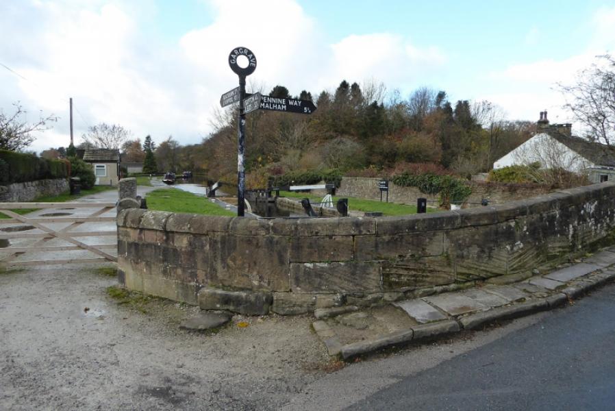
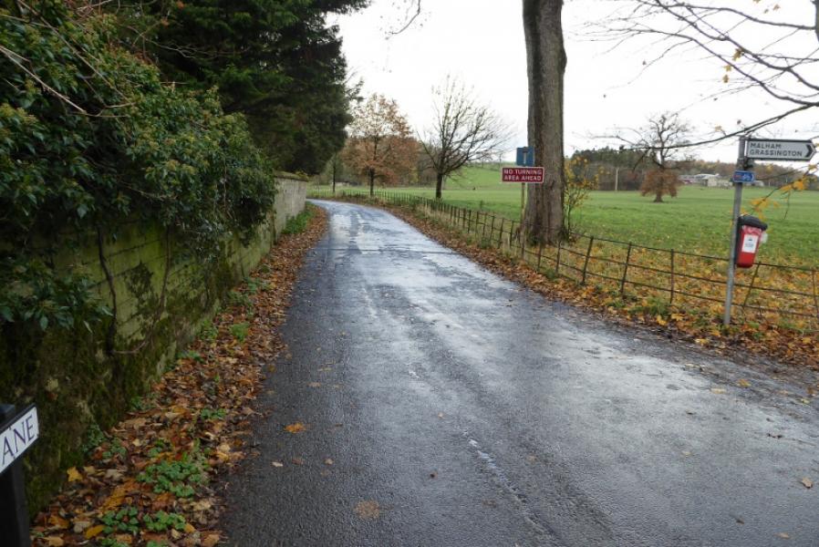
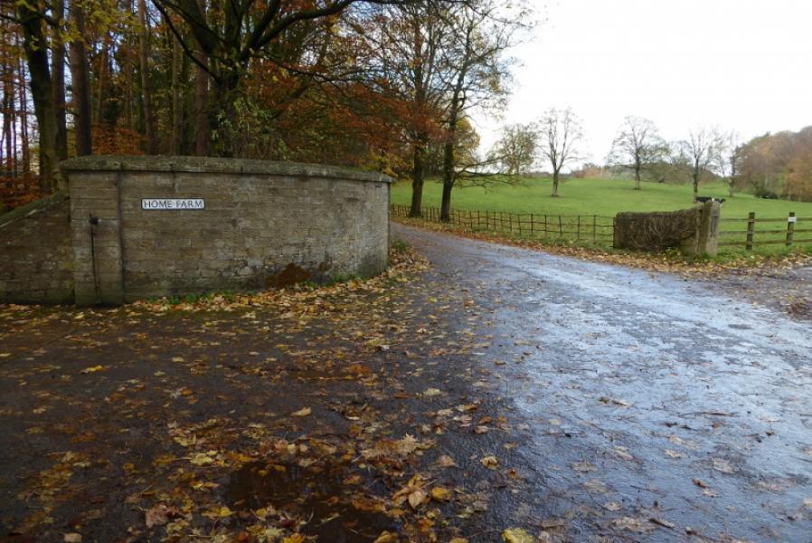
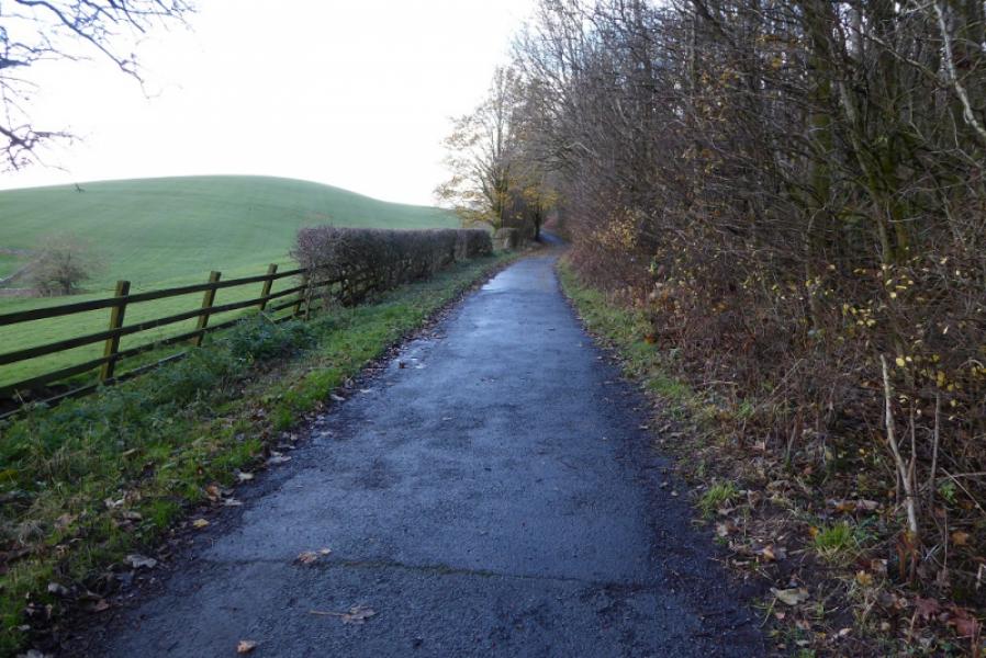
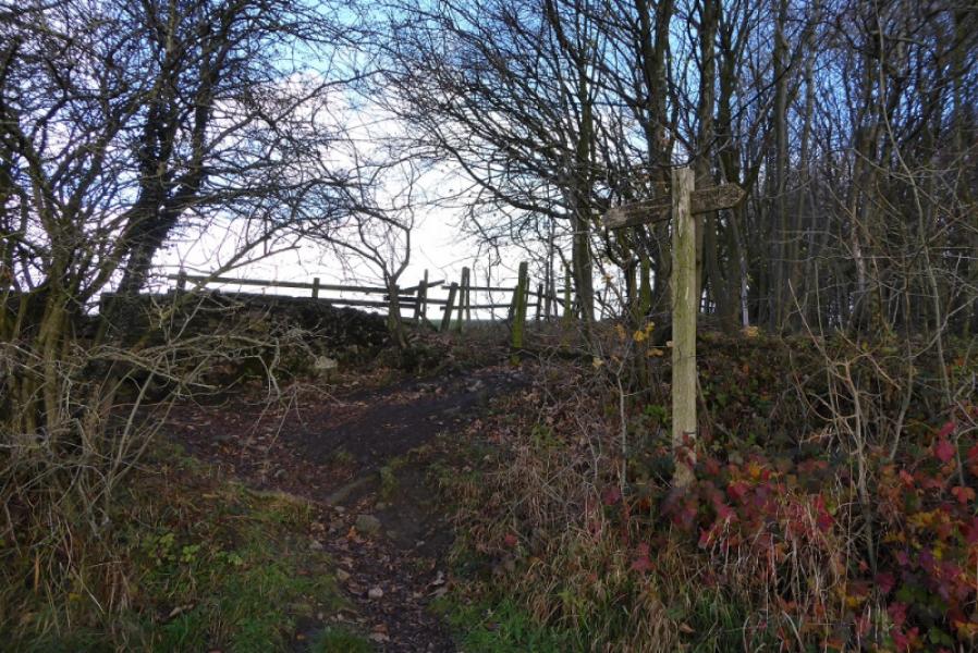
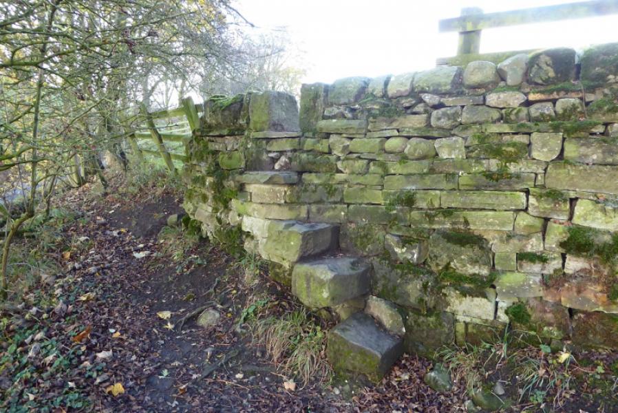
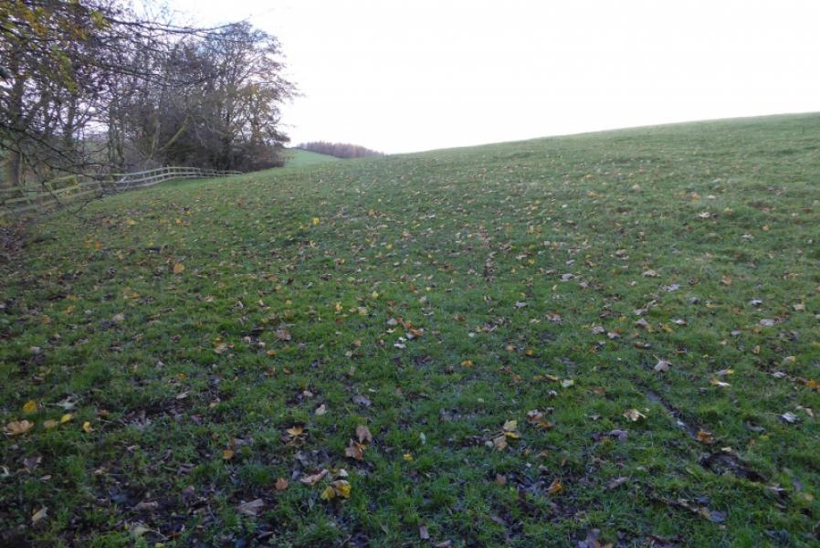
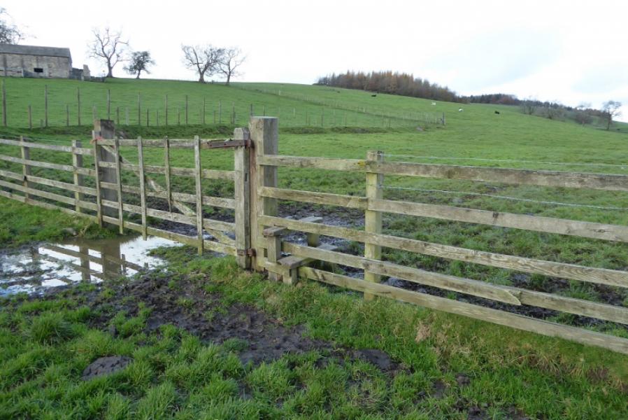
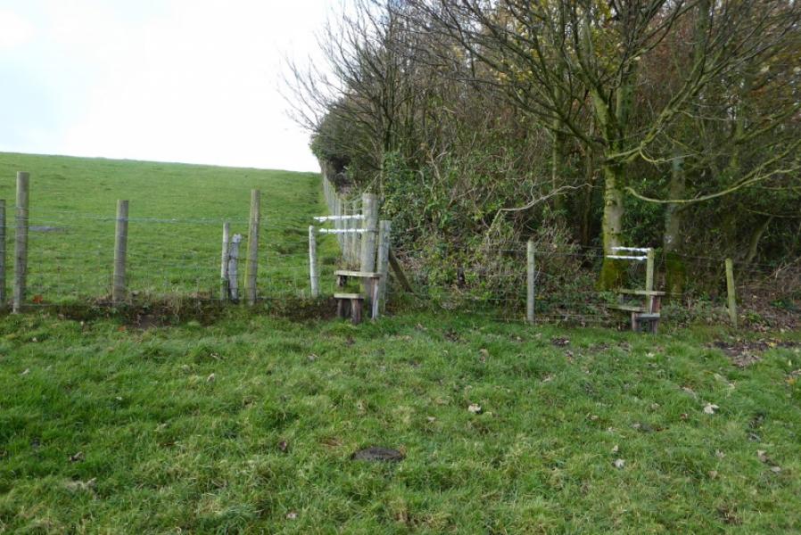
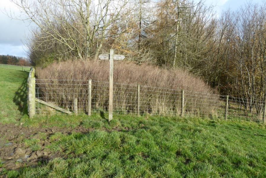
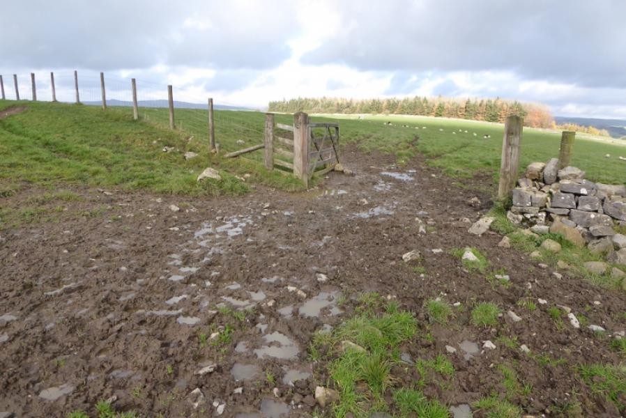
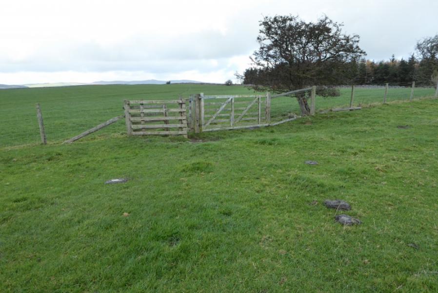
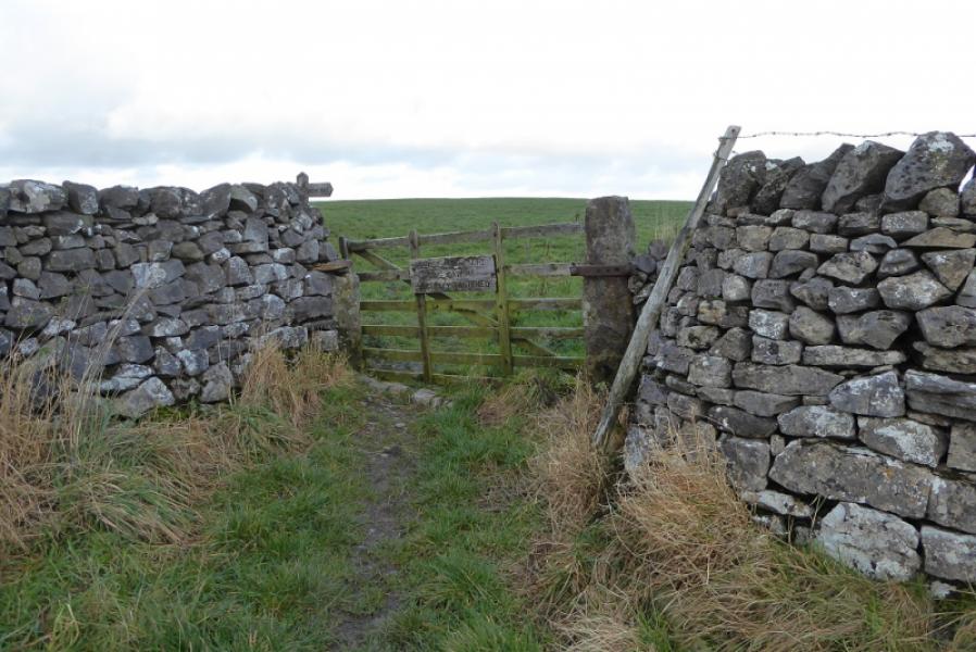
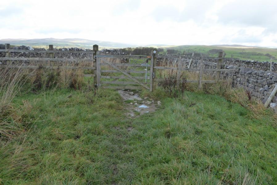
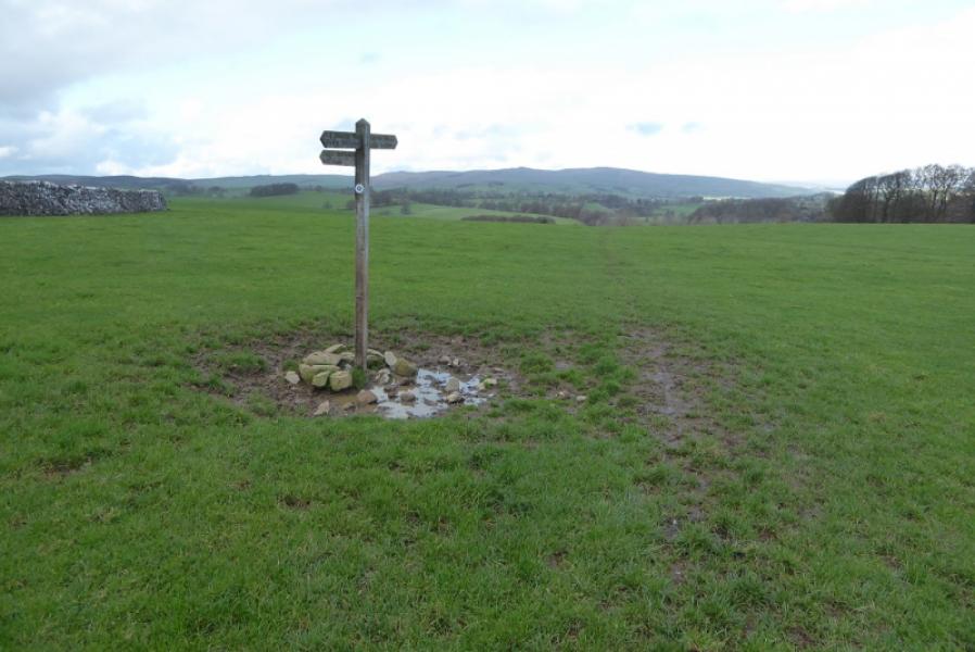
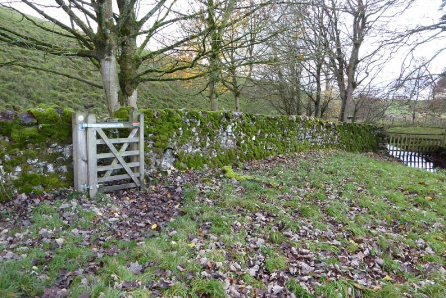
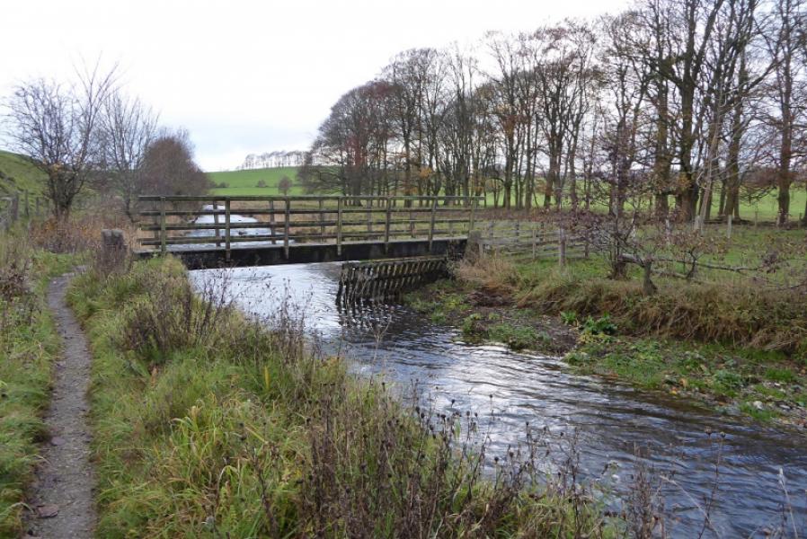
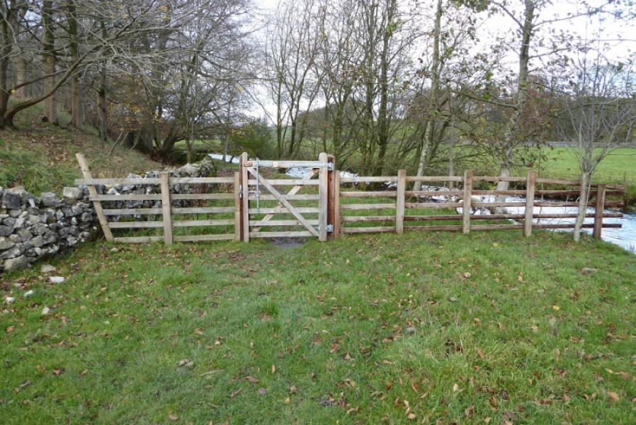
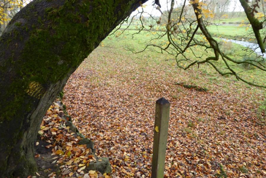
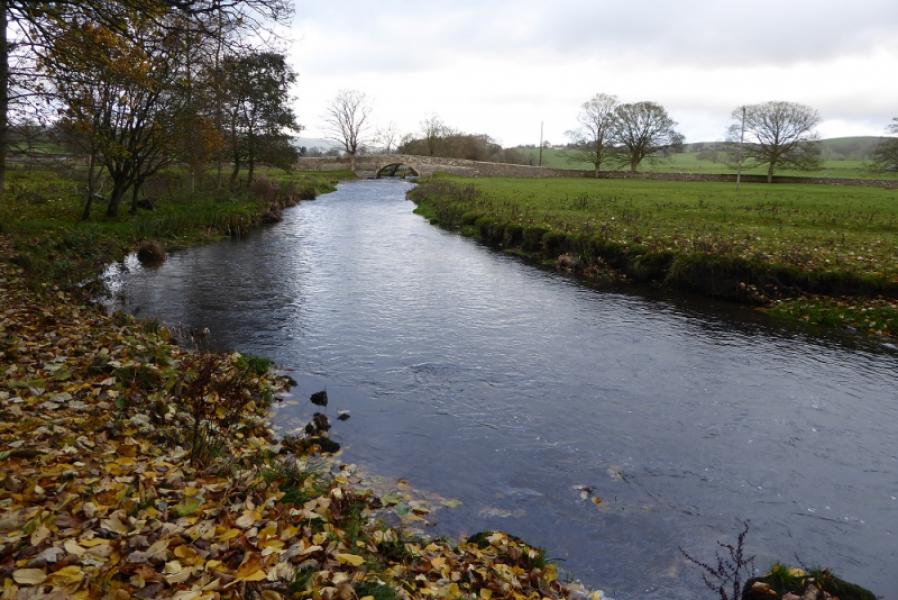
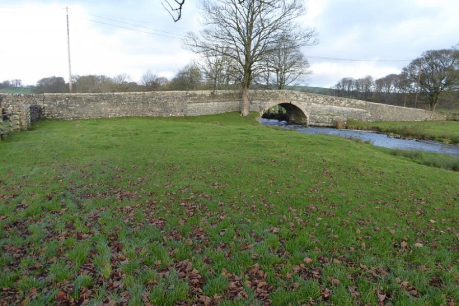
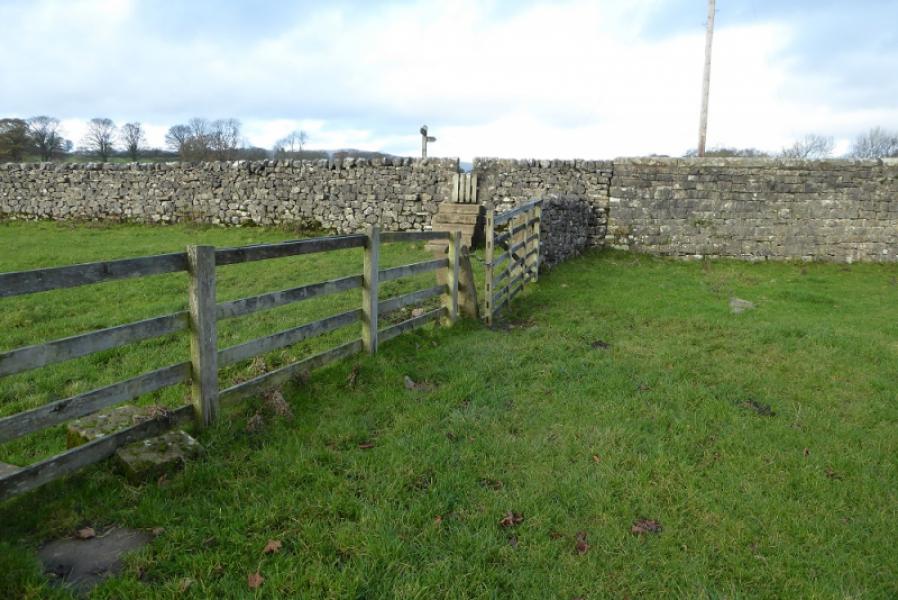
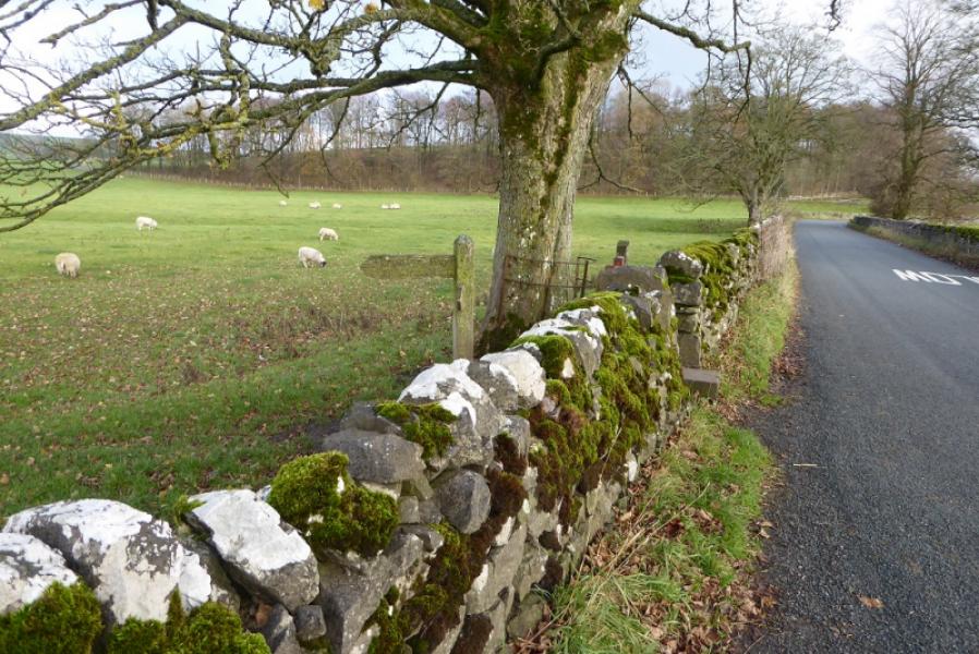
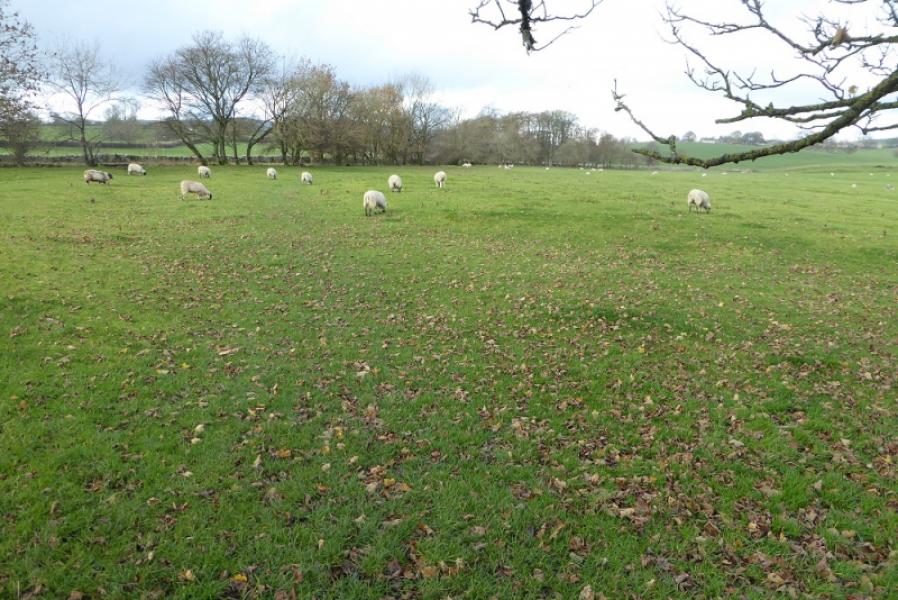
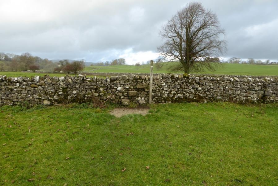
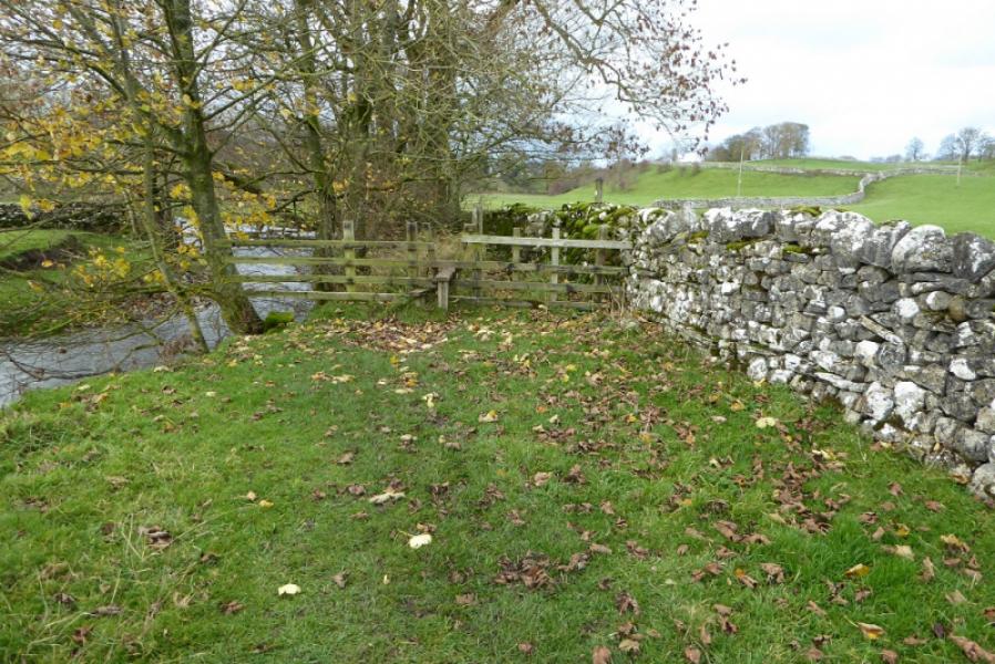
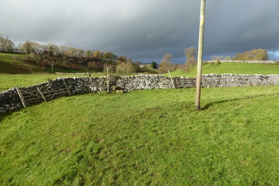
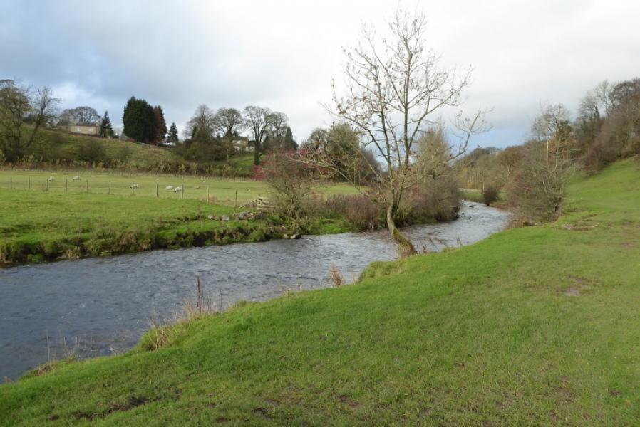
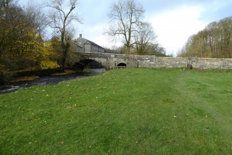
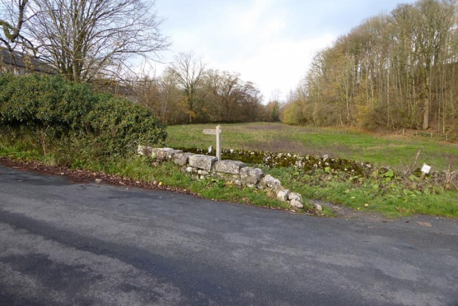
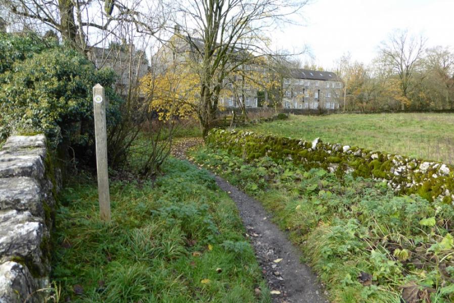
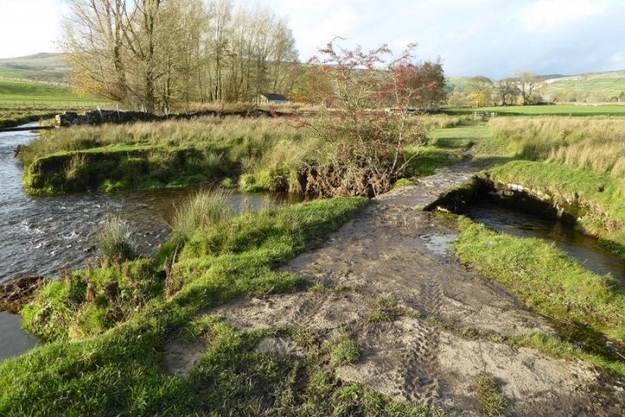
(1) Cross the A65 from the toilets and take the road into the village. Stay with this road and pass the village hall then cross the Leeds to Liverpool Canal. Continue ahead on Mark House Lane after the canal despite some signs suggesting a right turn. Follow the road past Home Farm then to the end of a long wood,on the right. An easily missed sign points into a field at the end of the wood. Head NNW across the side of a low hill to reach the W corner of Middle Plantation. It is easy to go wrong here as there is no obvious path so head NW, slightly uphill to the left, to reach the SE corner of Harrows Hill Wood where there is a small stile. Walk up the side of the wood to reach a sign at the next corner. Soon after, pass through the wall/fence on the right after which there is a more distinctive path. Follow this, roughly NNW, passing through a few gates. There is a sign on a flat section before the path descends down towards the road on the right. The path goes through a gate and shadows the road before going left to reach a footbridge across the River Aire which leads to a footpath that takes one to the road by Newfield Bridge. Turn right for a few metres along the road before the Pennine Way continues up the other side of the river. The path follows the river, passing through various gates, to cross a road at Airton.
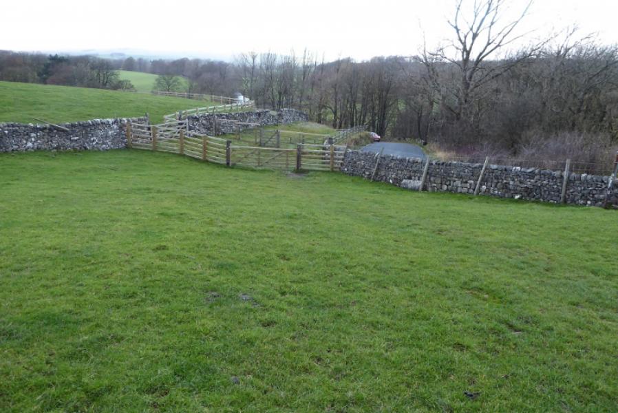
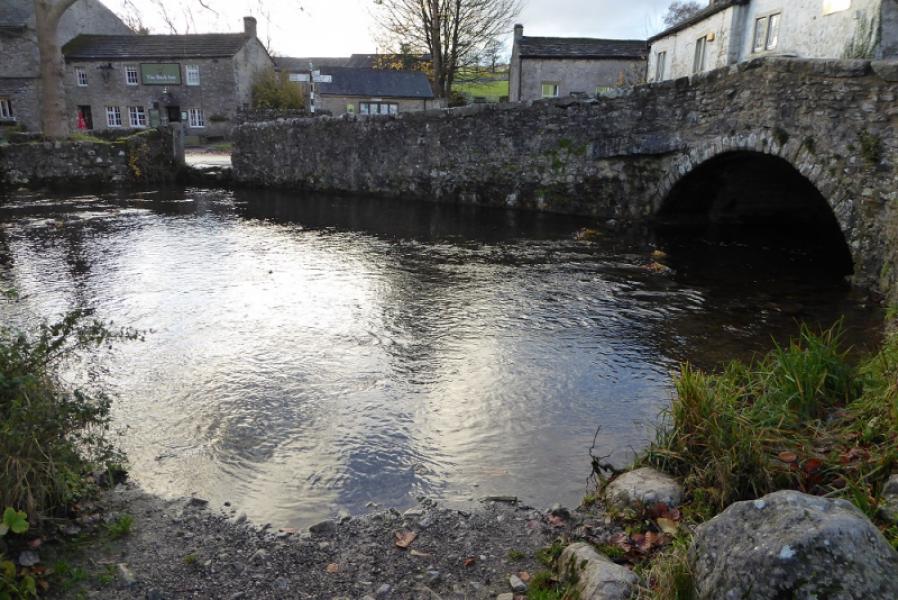
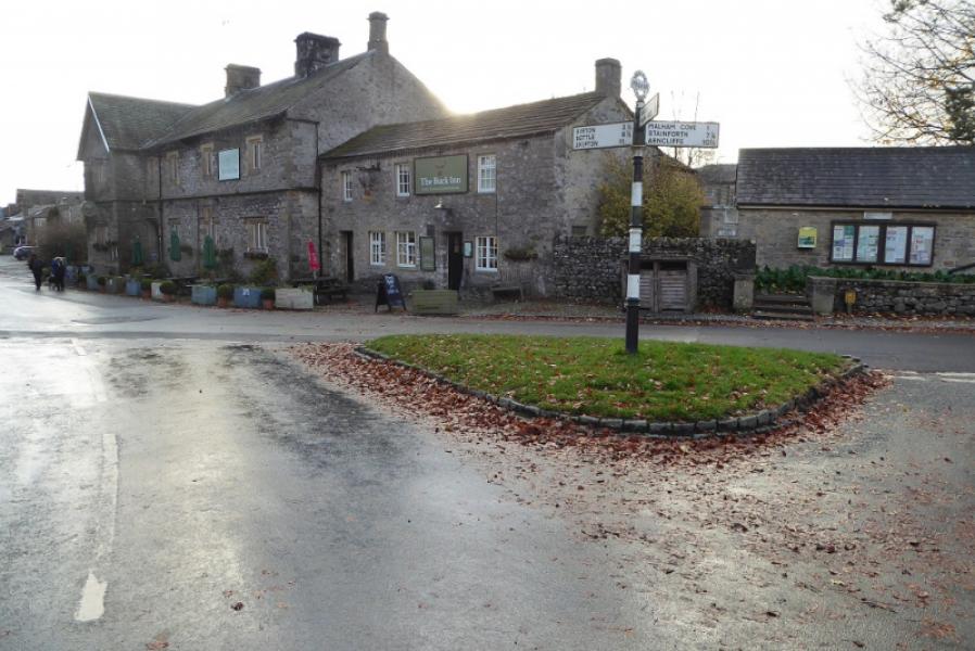
(2) Cross over and continue past Airton. The path continues to follow the river before joining the road at Hanlith. Turn right. Pass Hanlith Hall and continue steeply uphill until the gradient eases after a left hand bend. The Pennine Way leaves the road at the next (right hand) bend. Go across the field keeping close to the wall on the right which has a sign at its next corner. Continue fairly obviously. Soon Malham will be seen with its famous Cove behind. Continue and descend down towards the river which appears to split into two tributaries: Malham Beck and Gordale Beck. The path crosses Gordale Beck then continues towards Malham converging with Malham Beck when the village is reached. There is a small footbridge over the beck when the first building is reached. The continuation north goes right and up the main street towards Malham Cove.
Notes
(a) This walk took place on 13th November, 2018.
(b) It is possible to do this walk in isolation by parking in Malham and getting the bus to Gargrave. On 13/11/18, there was such a bus at 1035.
Photos - Hover over photo for caption. Click on to enlarge. Click on again to reduce.