Get Lost Mountaineering
You are here: England » Peak District » Kinder & Mill Hill from Snake Road
Mill Hill, Upper Red Brook & 624 Trig Point from top of Snake Pass
Mill Hill, Upper Red Brook & 624 Trig Point from top of Snake Pass
Start/Finish
The top of the Snake Pass, the A57 between Sheffield and Glossop where there is usually plenty of verge parking.
Distance/Time
13 km About 4 hours
Peaks
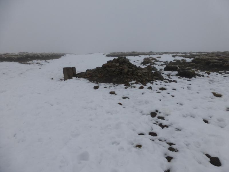
Mill Hill, 544 m, SK 061 504.
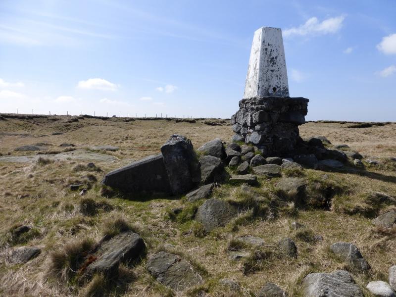
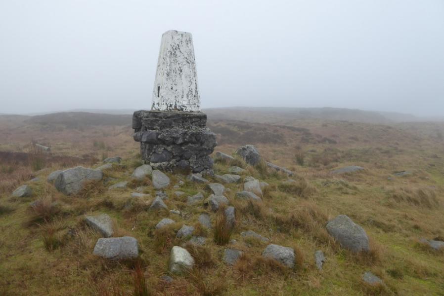
Kinder NW Trig Point, 624 m, SK 077 894.
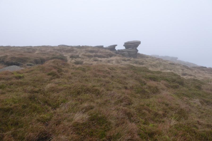
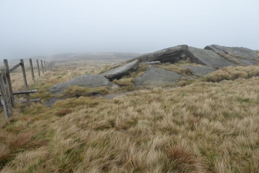
The rest of the walk is on edges, ridges and open moorland.
OS Outdoor Leisure 1: Dark Peak. OS 110 (1:50 000).
Introduction
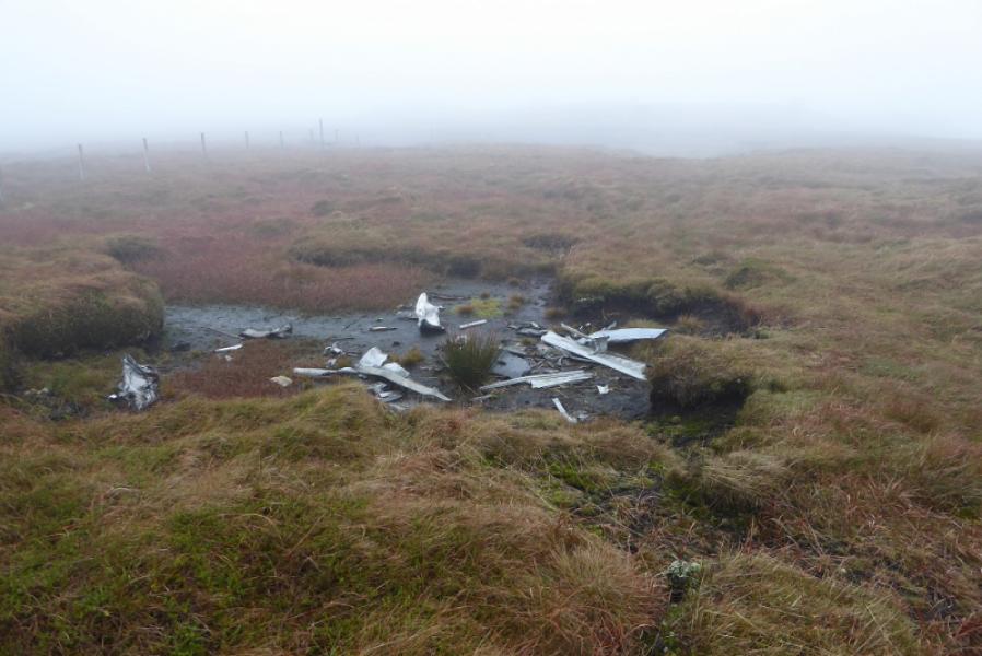
This is a pleasant walk which goes into the Kinder plateau to reach Kinder NW Trig Point. Starting at the top of the Snake Pass minimises the ascent as it is at 512 m. The price for this, however, is that some of the route has to be reversed. The interior of the Kinder plateau used to be mainly grass free probably as a result of over grazing (sheep) and the dumping of aviation fuel by some incoming aircraft (Manchester airport) during the 1950's) but restoration is underway and the area around the NW Trig Point is now fairly grassy. This is an ideal walk for a short winter's day but under snow and ice, be very careful on the steep ascent and descent of Kinder.
Route
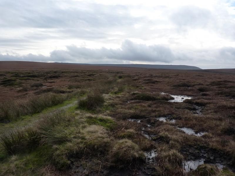
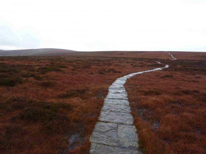
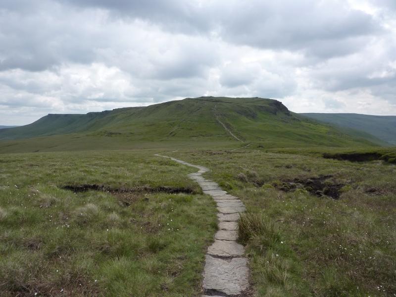
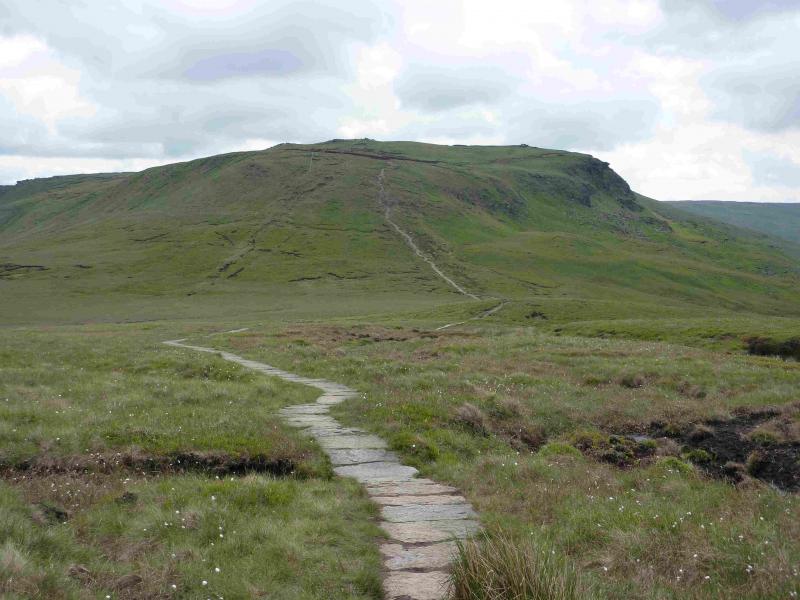
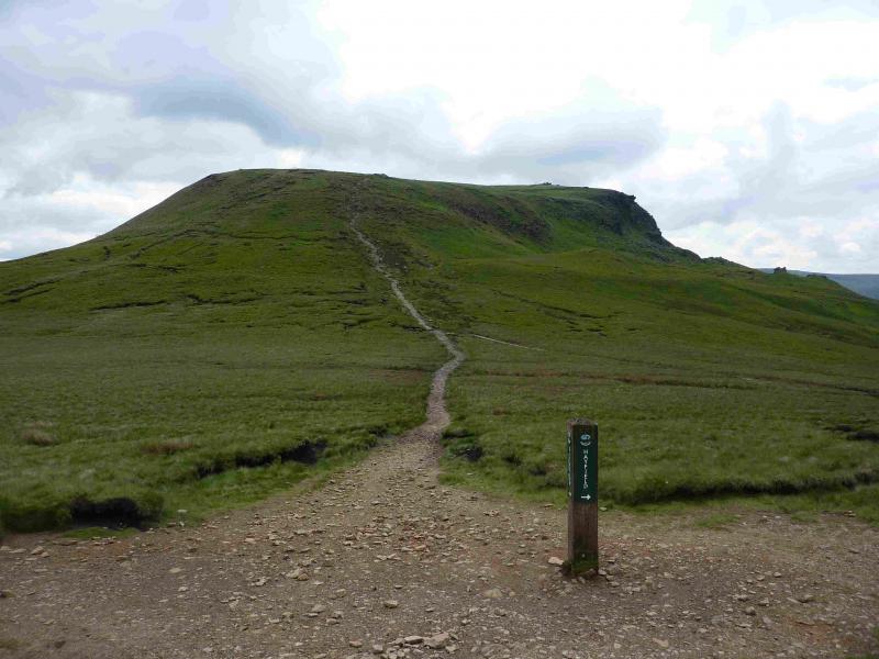
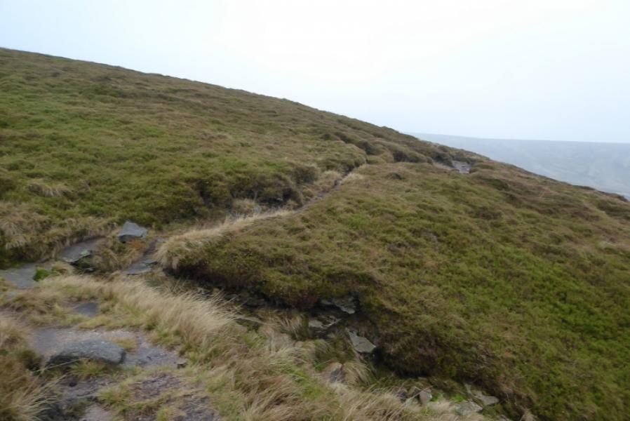
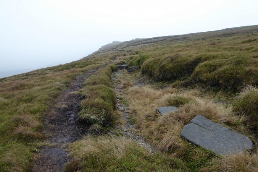
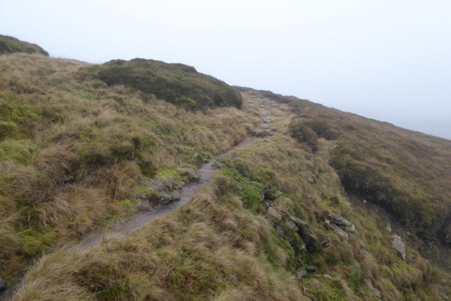
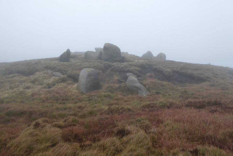
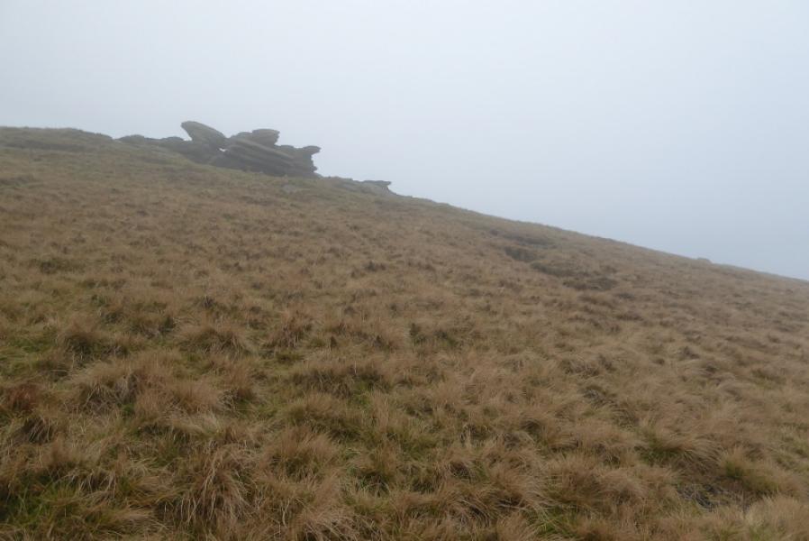
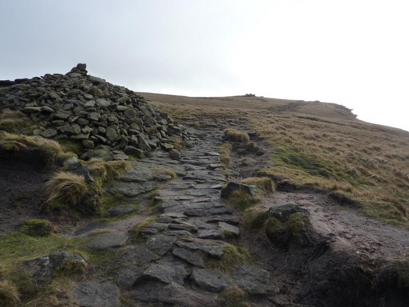
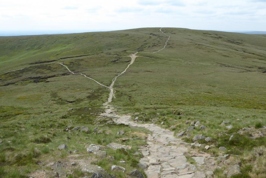
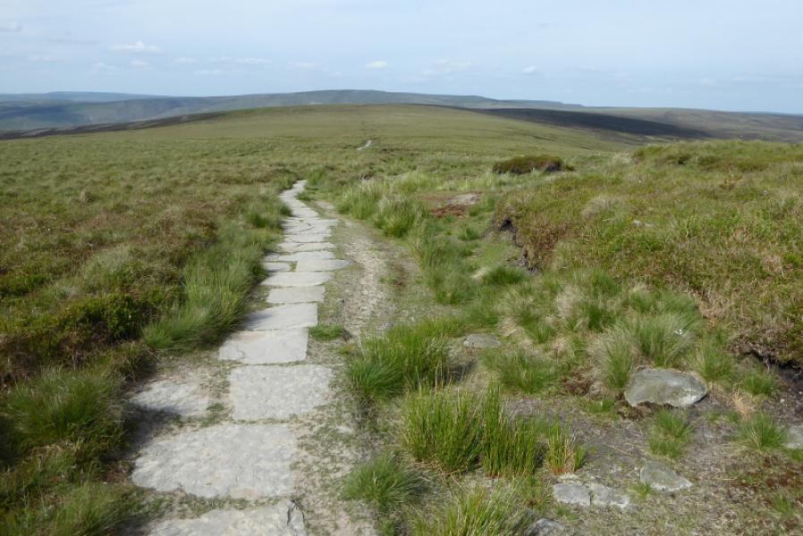
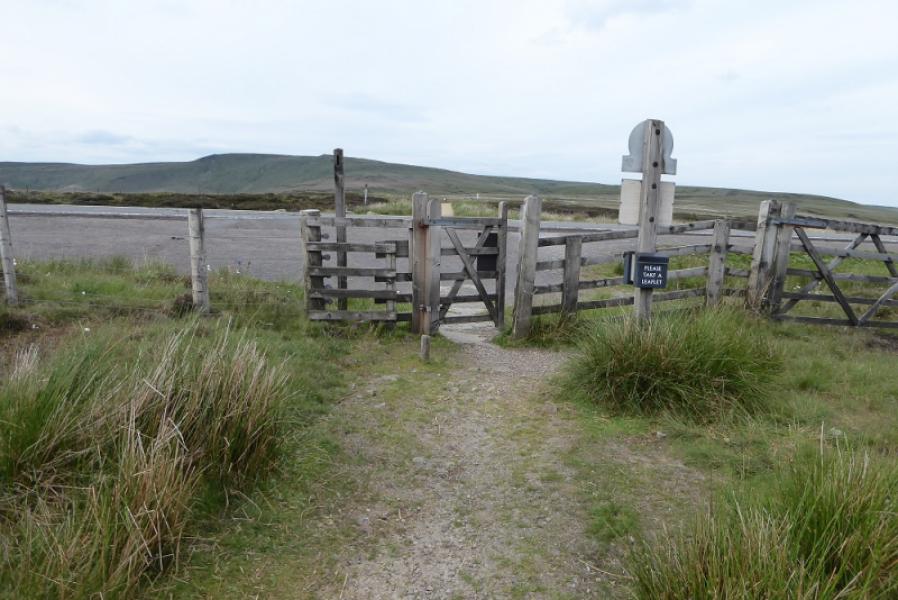
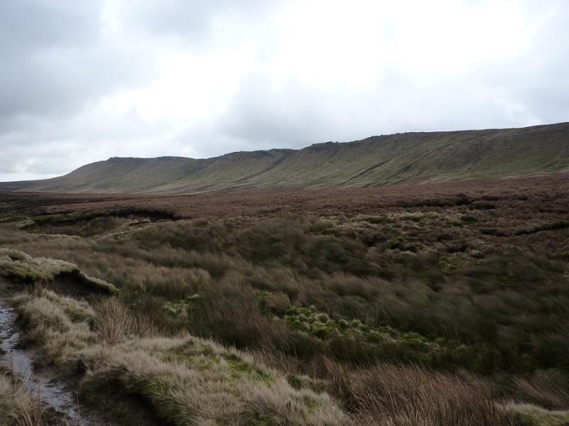
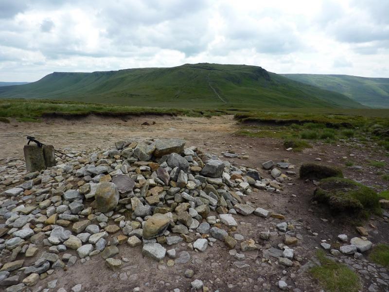
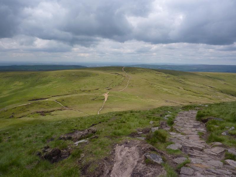
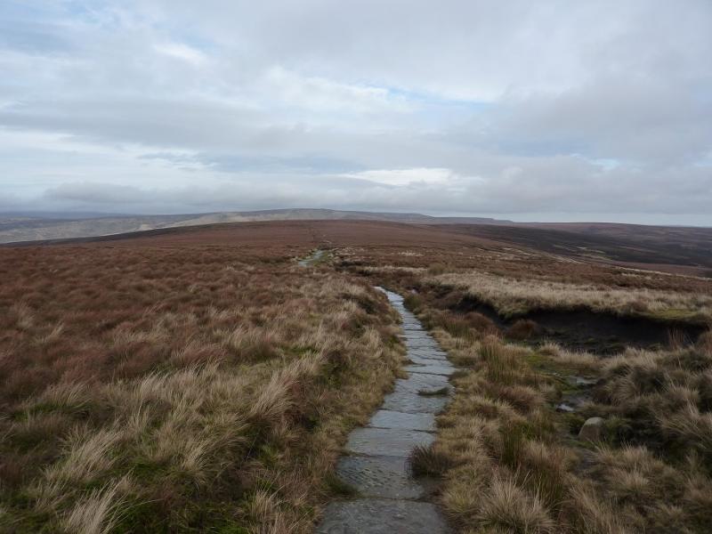
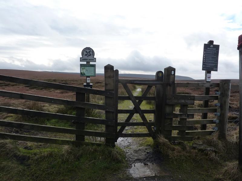
(1) On the S side of the Snake Pass summit is a gate and a sign for Ashop Moor. Follow this path which soon becomes a slabbed path and eases the crossing of the boggy moorland. The path winds around a bit but it very easy to follow. After about 4 km it reaches a large but low cairn which is the summit of Mill Hill, 544 m. There is a crossroads of paths here. Left is the Pennine Way, ahead is a faint path heading towards Leygatehead Moor and right is the descent to the Grouse Inn.
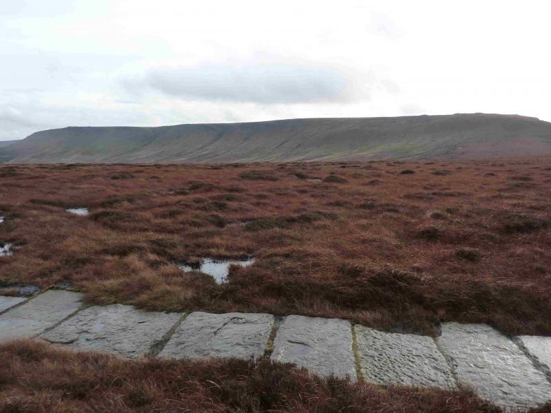
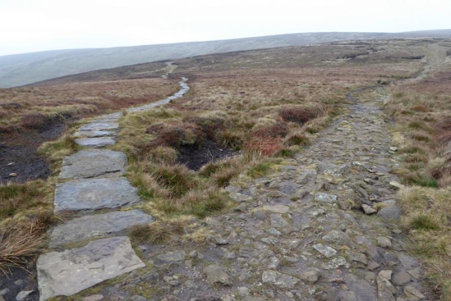
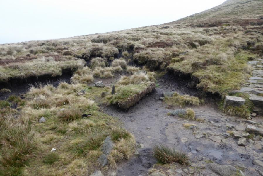
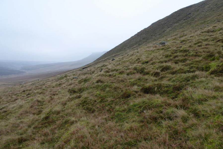
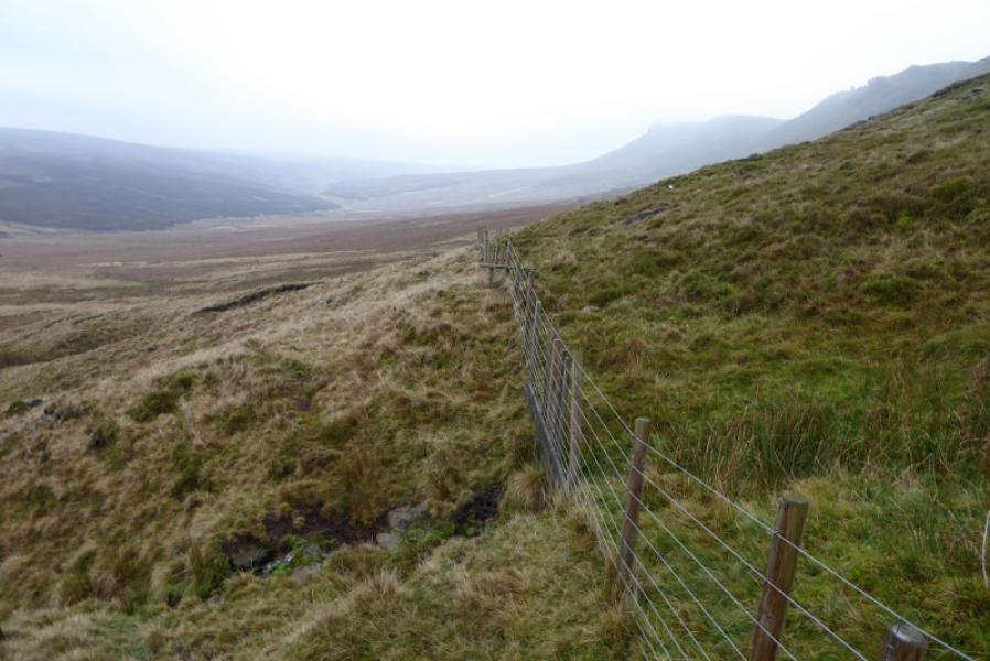
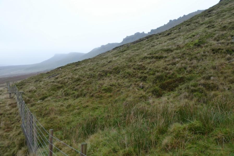
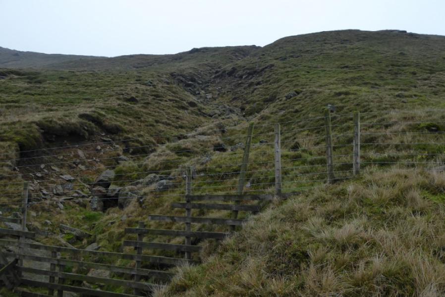
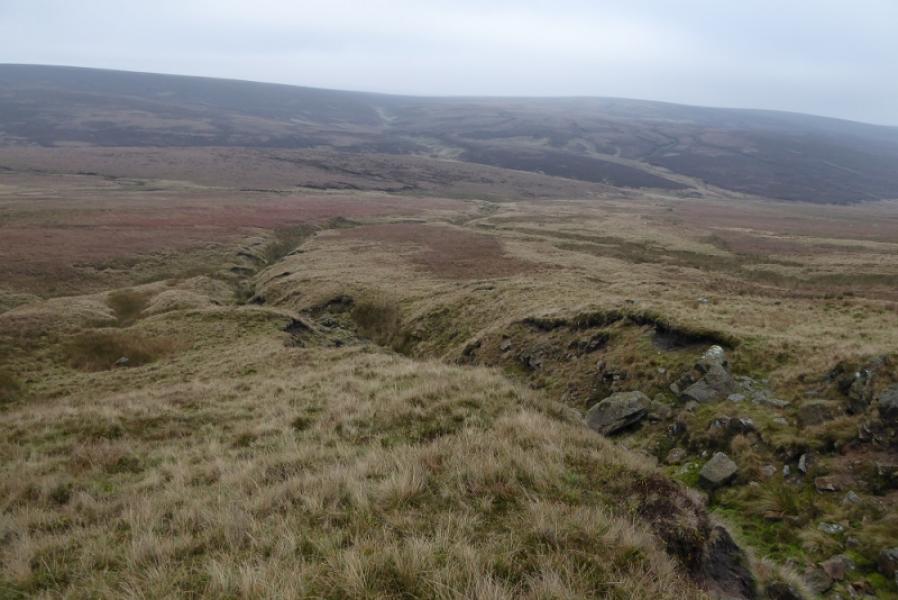
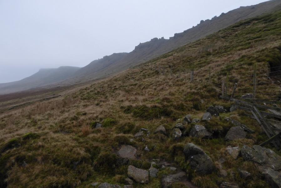
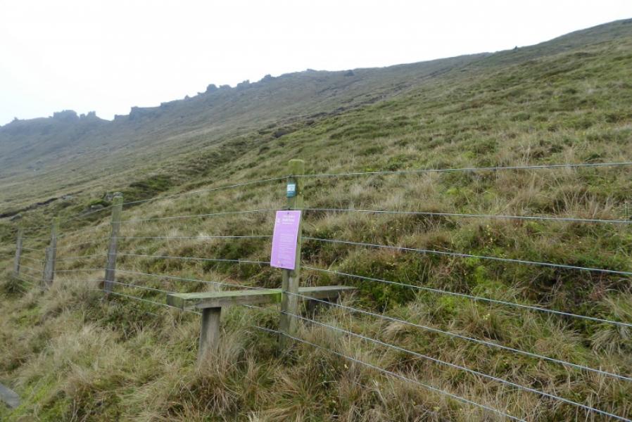
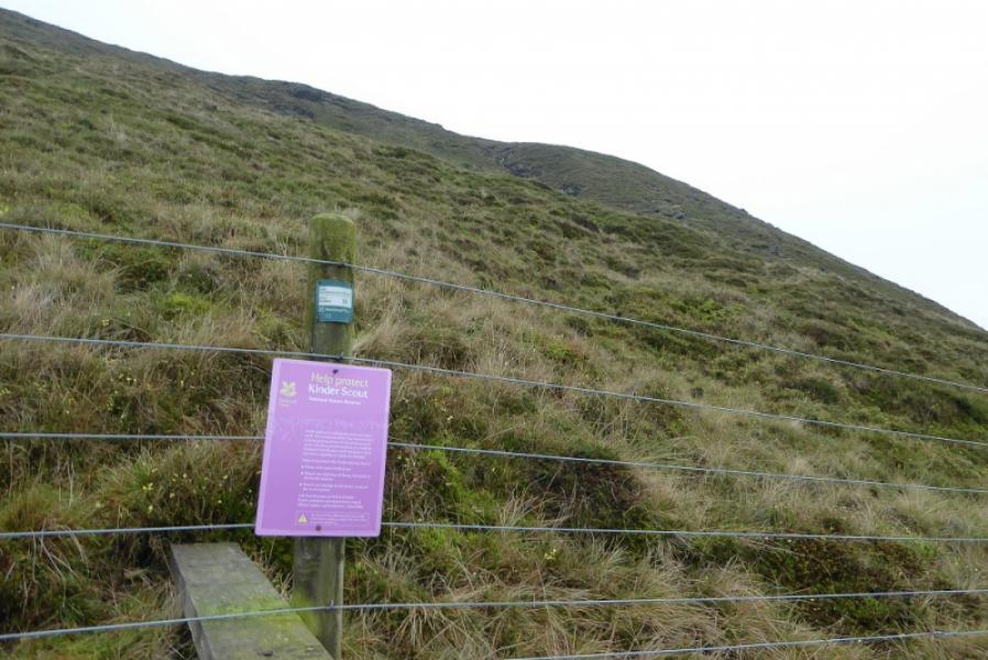
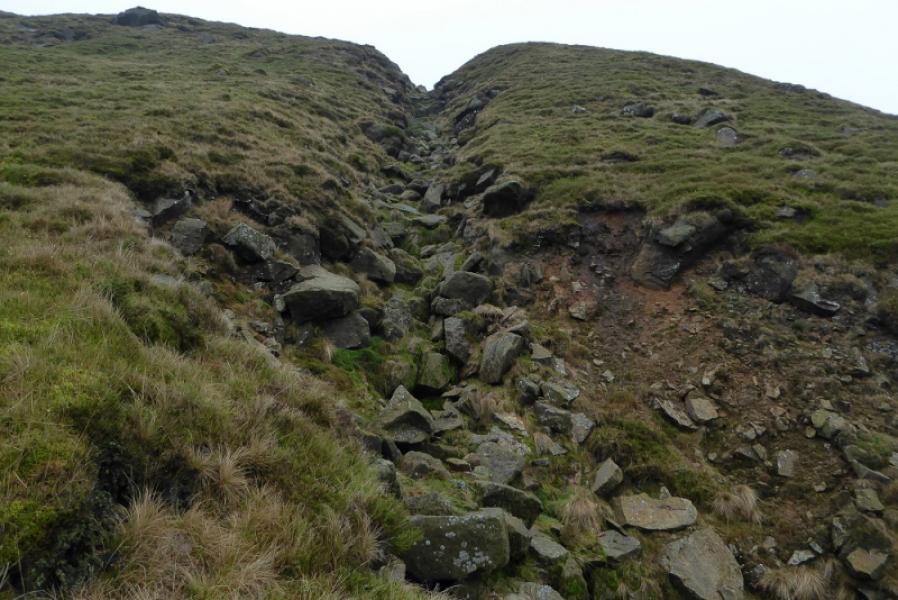
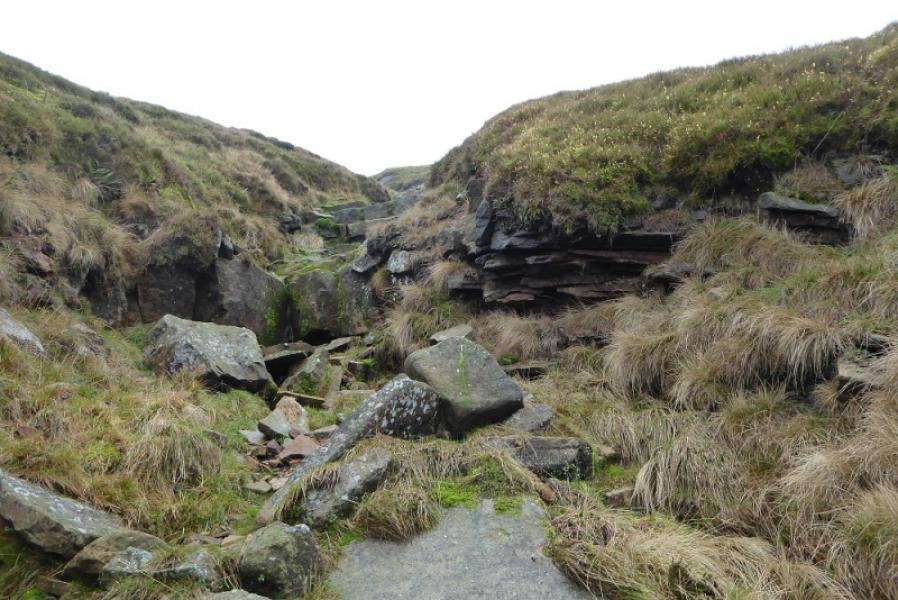
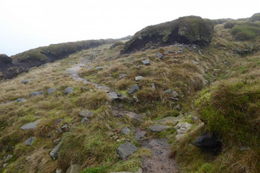
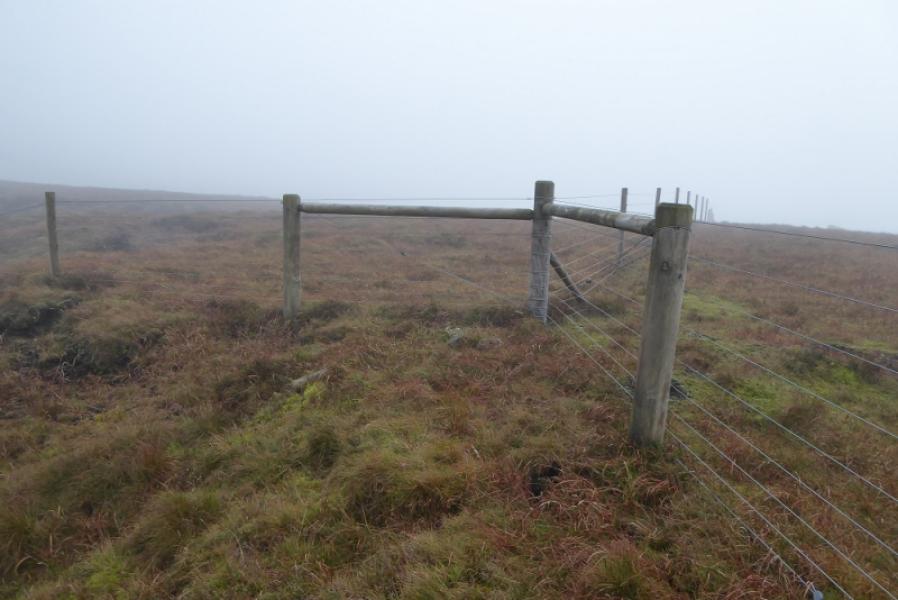
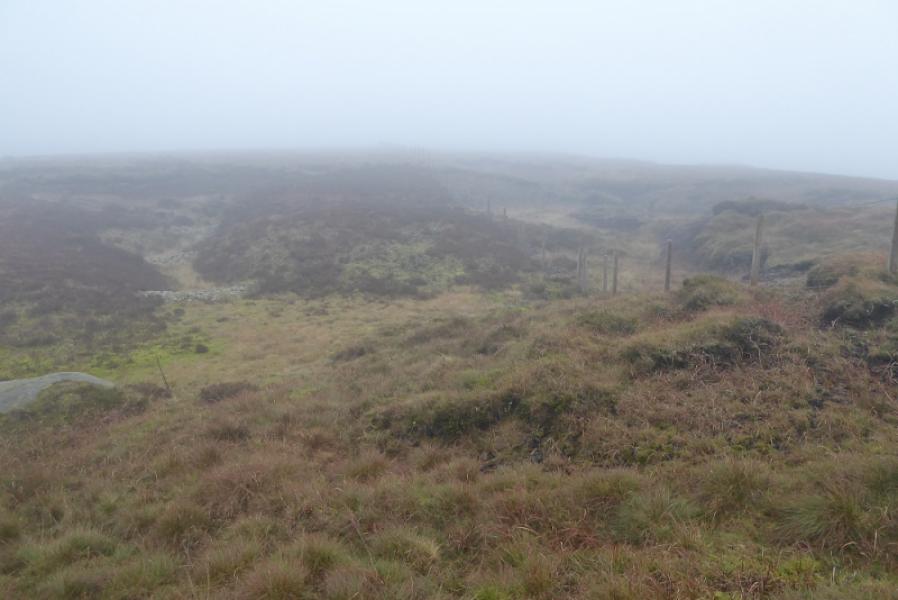
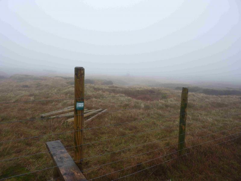
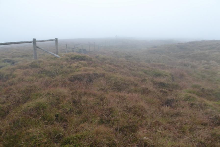
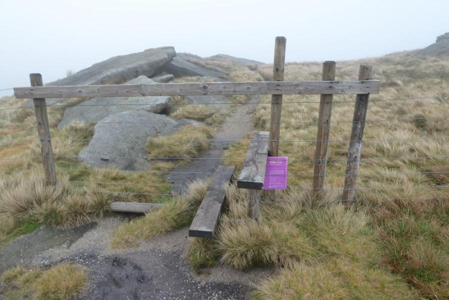
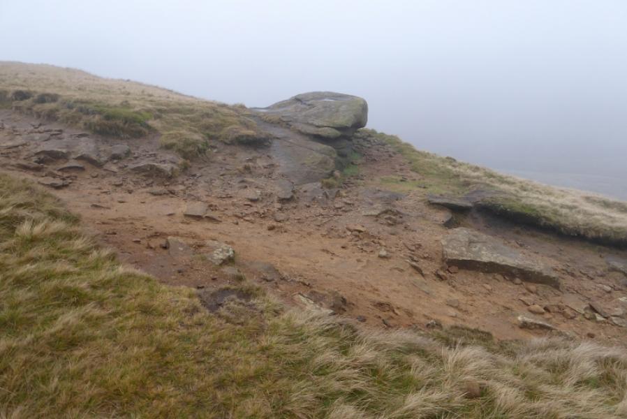
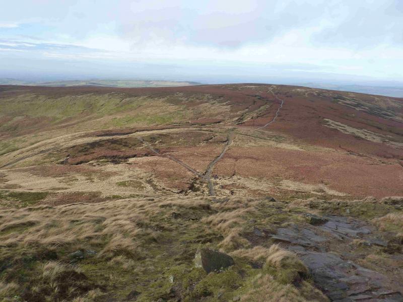
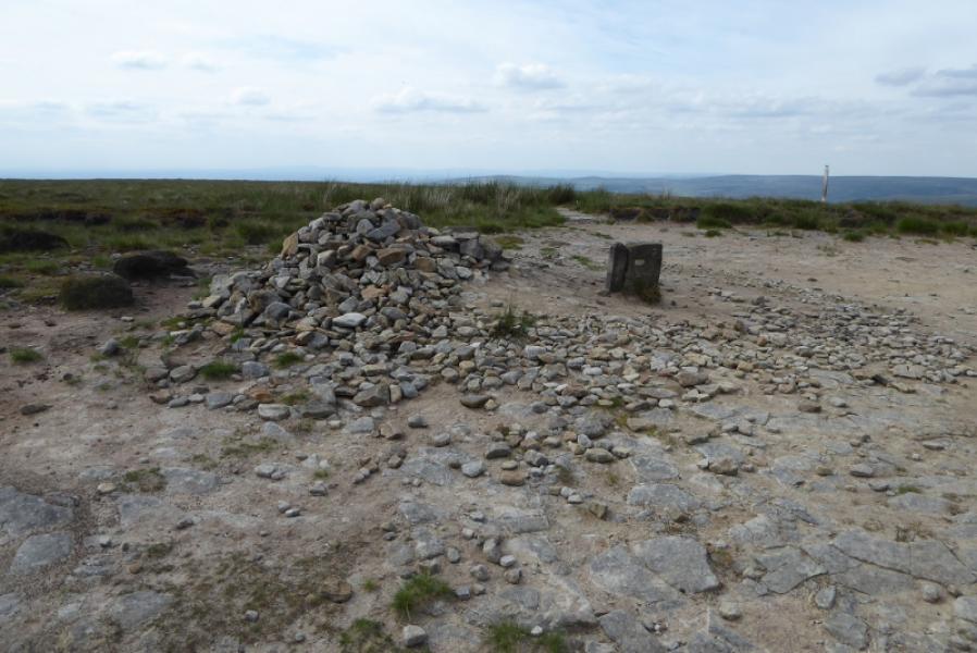
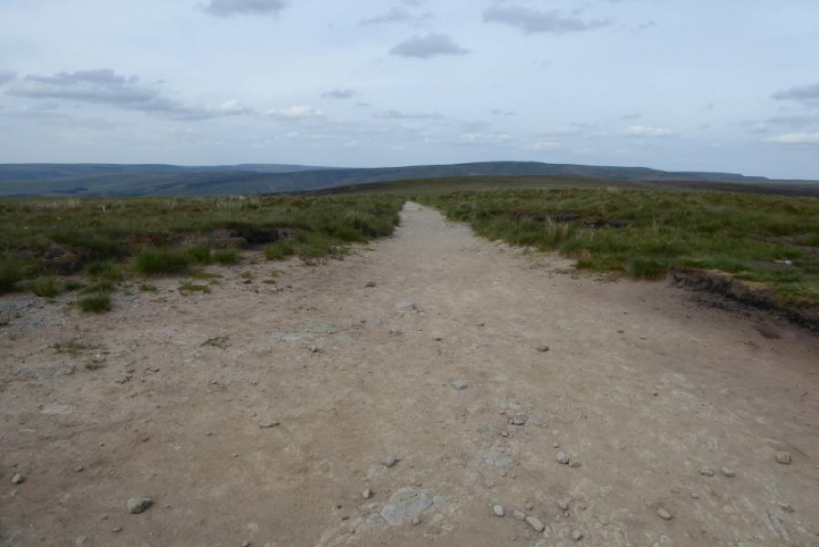
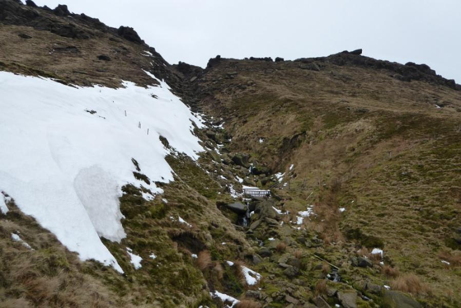
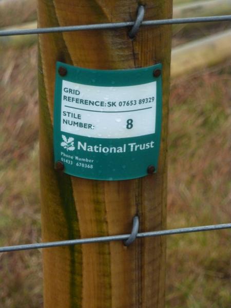
(2) Continue left, SE, on the Pennine Way. In clear weather, the NW corner of Kinder should be very prominent ahead. The now gravel path, soon to become slabbed again, continues to a sign post indicating routes to Hayfield, the Snake Path as well as the Pennine Way. Continue ahead and look for a slabbed path coming in from the right at an angle. This is about where you leave the Pennine Way and go diagonally left. There is no obvious path but one should soon appear. If not drift slightly uphill to find it. The path is faint in places but a fence, above to the right, is a good guide. Continue for just over 1 km to reach the first significant stream which is quite deeply cut compared to the ones passed already. This is Upper Red Brook. It can often be dry. There is a stile about 50 m before and after the stream. Use the one after the stream then start to pick a way up the steep side of the stream or in the gully if you prefer. When the angle eases, cross the lower edge path then, soon after, cross the upper edge path. Both are fairly obvious. Continue following the stream which is not that obvious in places so it may be wise to take a bearing from the upper edge path. It is roughly SSW to the trig point. Trying to follow a stream shown on the map as almost reaching the trig point is not that easy! However, there is a fence to the W of the trig point so “erring” W will take one to it. The fence has several numbered stiles although the numbers will be on the back of the fence post from this approach! Follow the fence roughly SE to a junction with a new fence. Follow the fence going ENE to the stile labelled as Stile 8 and has its grid reference on it. Note that Kinder NW Trig Point, 624 m is not the highest point in this area. In thick weather, the fence may not be seen from Stile 8 so walk at about 1 o' clock for about 40 m.
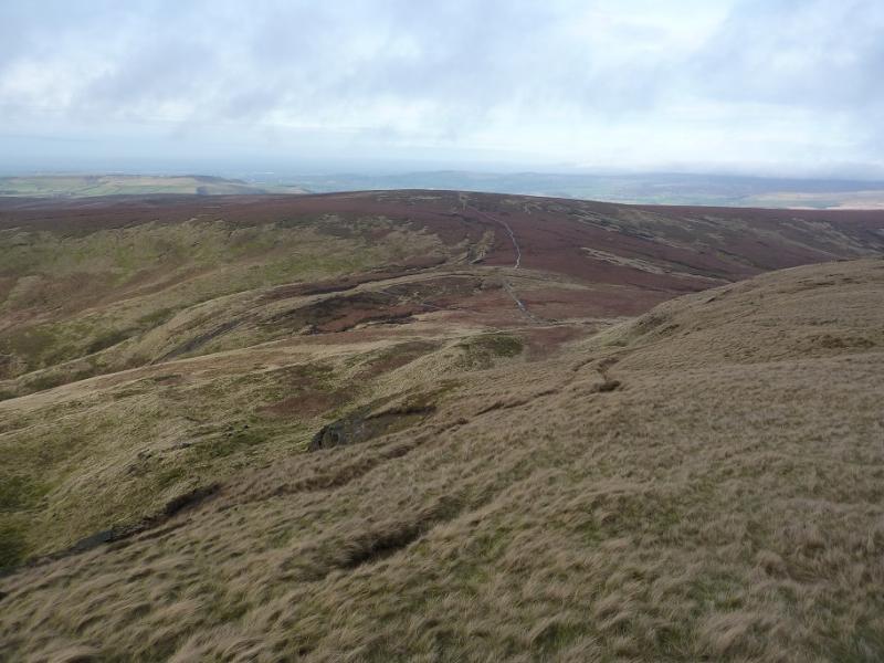
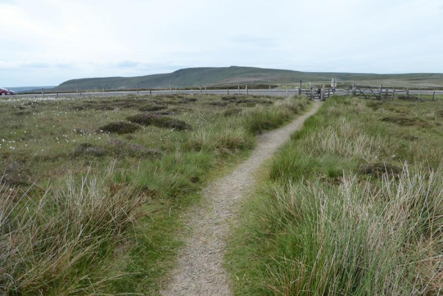
(3) From the trig point return to the stile then follow the fence back the way you came. At the fence junction, follow the fence going NW. There is a faint path here and there. Continue following the fence. When outcrops appear, continue until there is a long, low slabby outcrop running to the right from a stile with a path crossing the fence here. Cross the stile and follow the fairly obvious path to soon joing the wide and very obvious Pennine Way on the W edge of Kinder. Turn R and follow the Pennine Way to a large cairn then down steps to where the Pennine Way was left earlier, Continue ahead, past the signpots then up to the summit of Mill Hill. Turn right and follow the Pennine Way back to the top of the Snake Pass.
Notes
(a) This walk took place on 16th November, 2018.
Photos - Hover over photo for caption. Click on to enlarge. Click on again to reduce.