Get Lost Mountaineering
You are here: England » Peak District » Kinder, Brown Knoll & South Head from Hayfield
Kinder Reservoir, Mermaid's Pool, Kinder Downfall & Cluther Rocks from Hayfield campsite or Bowden Bridge car park
Kinder Reservoir, Mermaid's Pool, Kinder Downfall & Cluther Rocks from Hayfield campsite or Bowden Bridge car park
Start/Finish
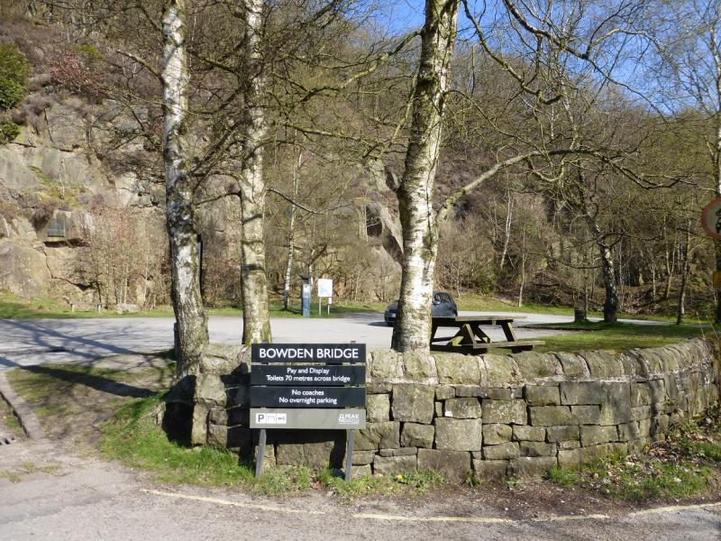
Hayfield campsite or Bowden Bridge car park. If coming from the south or east, take the A619 from Chesterfield to Baslow before picking up the A623 signed for Manchester. Those approaching from Buxton, on the A6, will meet this route at a roundabout just before Chapel-en-leFrith. Soon after, take the A624 signed for Glossop. Continue on this road until the right turn into Hayfield village is reached. Turn in then go left and pass the church before crossing the river then follow the road on the N side of the river until past the Sportsman pub. Soon after there is a right turn, over a bridge, for the camp site. There are public toilets just across this bridge. The Bowden Bridge car park is a little further along the road after this turning. Those approaching from Glossop should fork left on the one way street into the village until the above route is joined. There are a few signs in the village for the camp site which may help.
Distance/Time
12 km About 5 hours
Peaks
No peaks as such but the edge of Kinder is just over 600 m.
OS Outdoor Leisure 1: Dark Peak. OS 110 (1:50 000).
Introduction
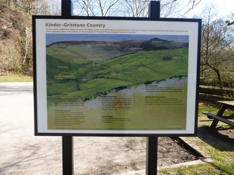
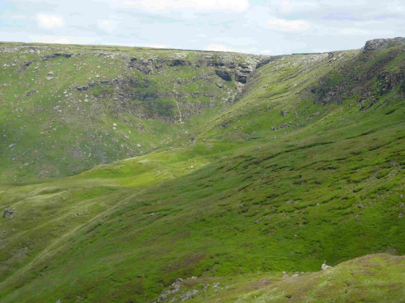
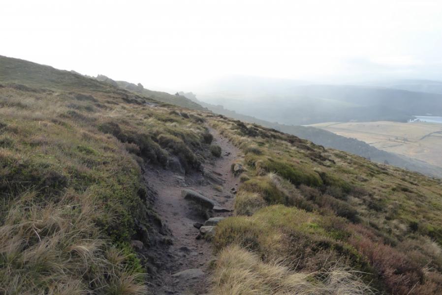
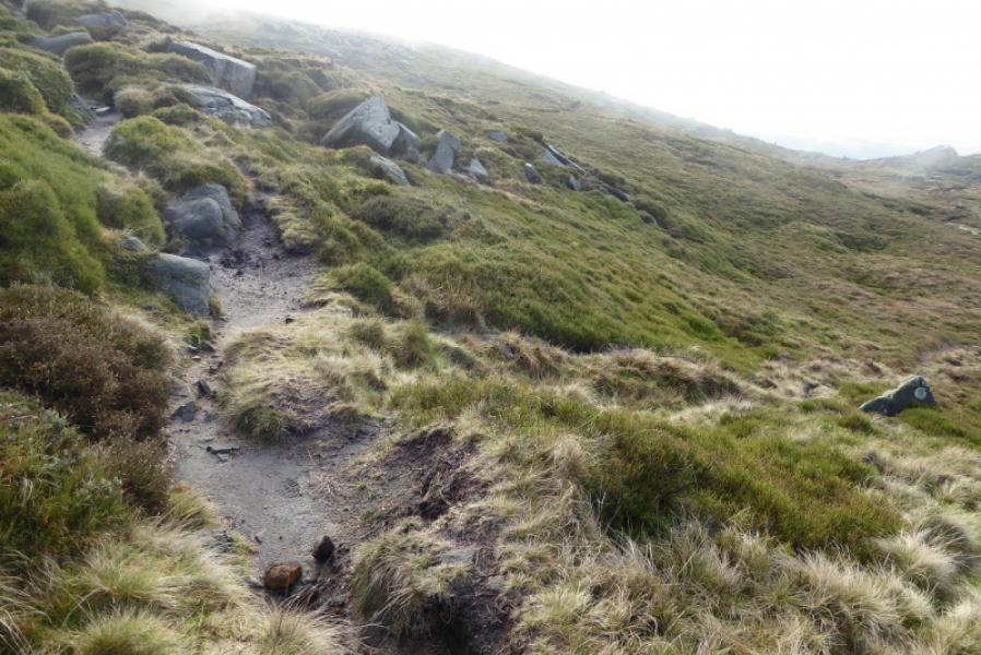
This walk offers a mix of ground including some steep, pathless and rough grass above the Mermaid's Pool which is just a large pool in a grassy hollow. There are paths on the rest of the route although they can be boggy in places. There are good views looking up to the edge of Kinder and good views west from the edge of Kinder.
Route
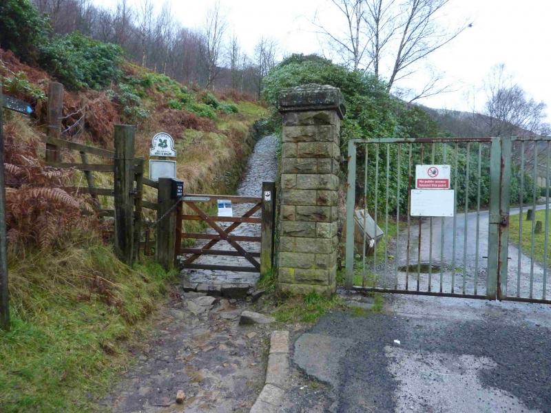
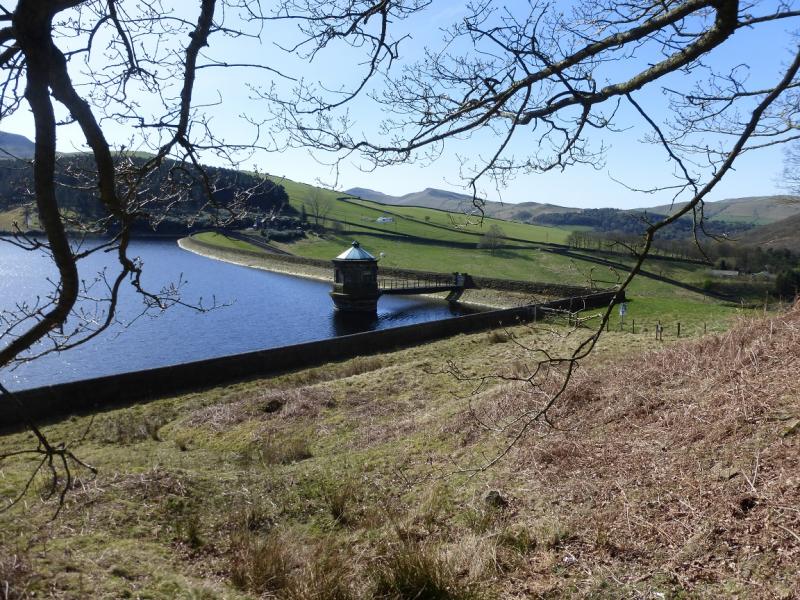
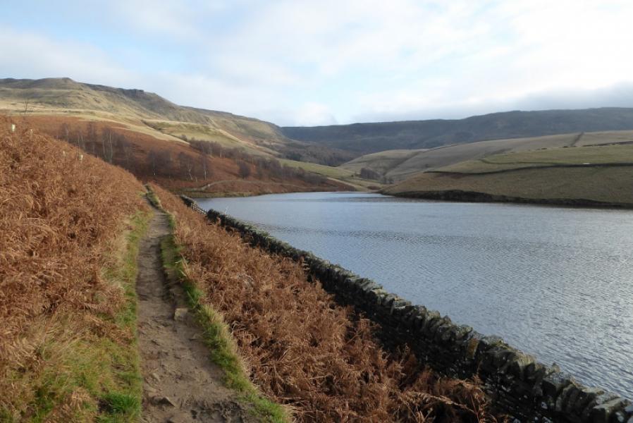
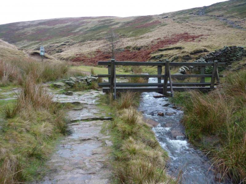
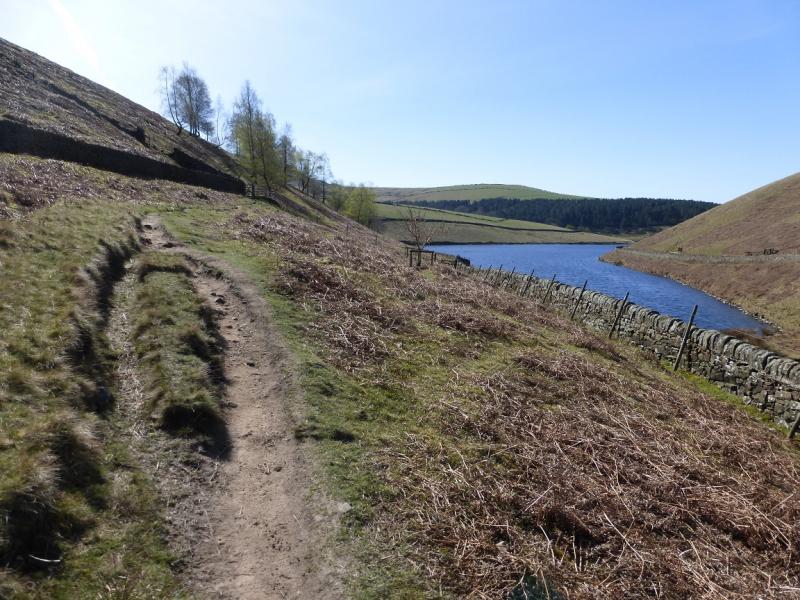
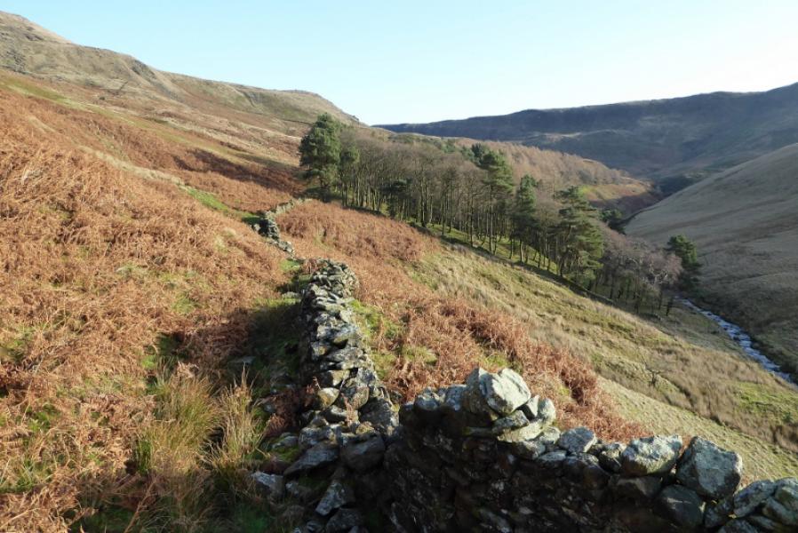
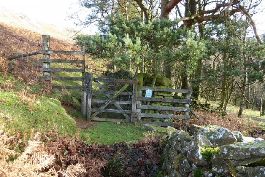
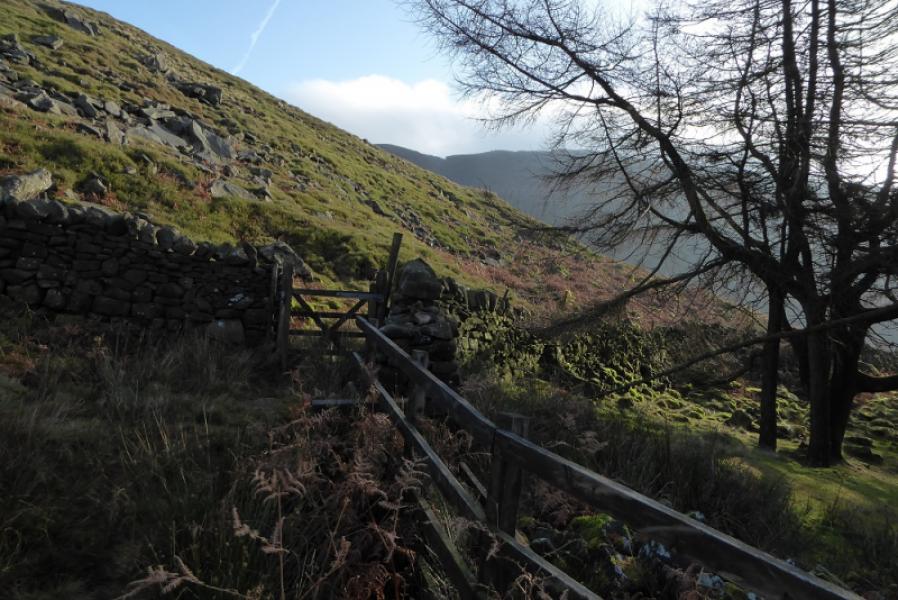
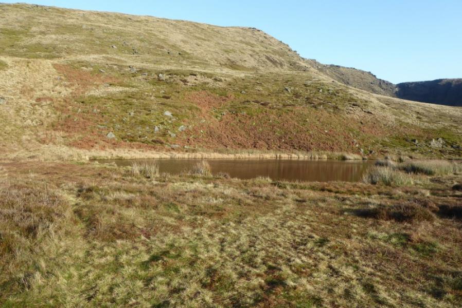
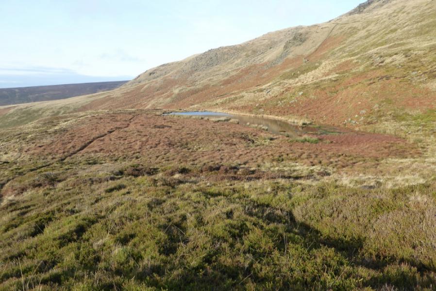
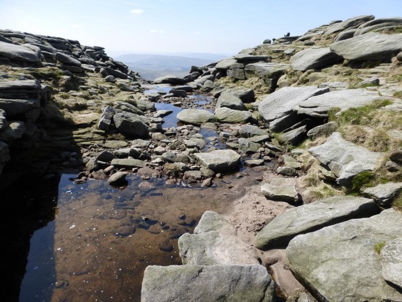
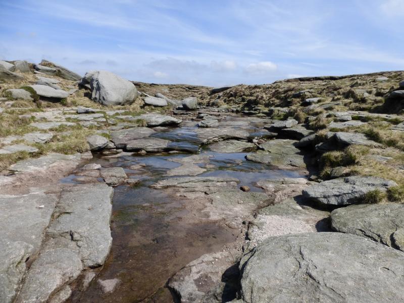
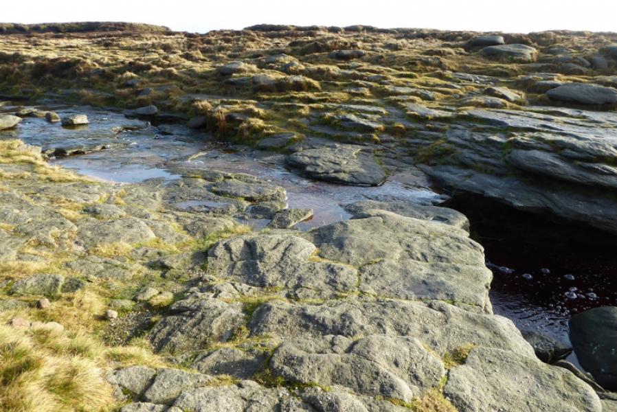
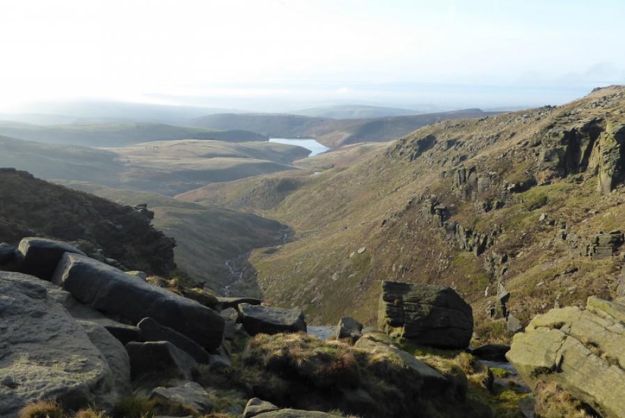
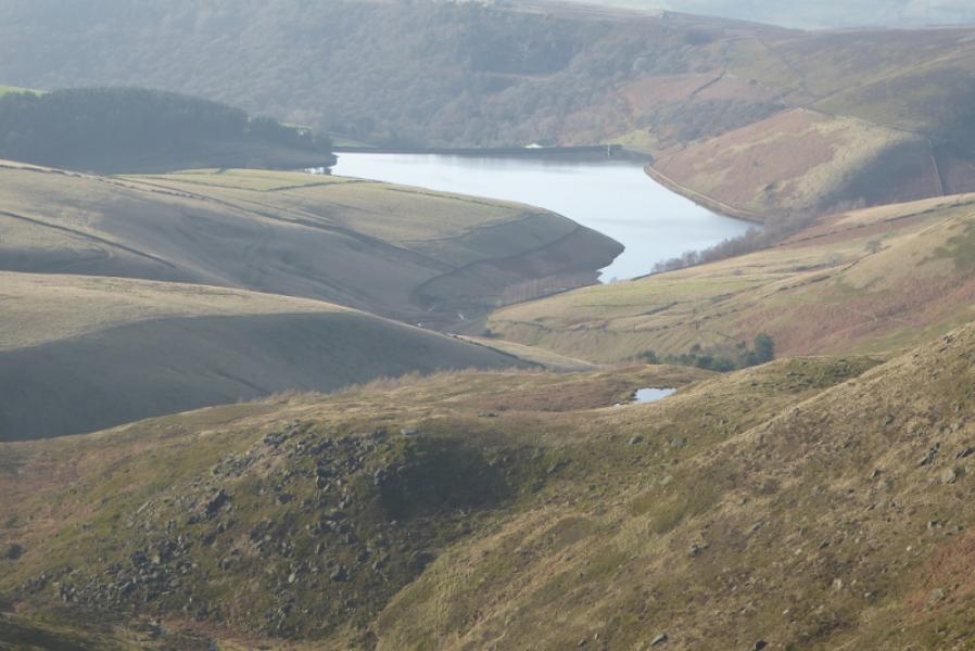
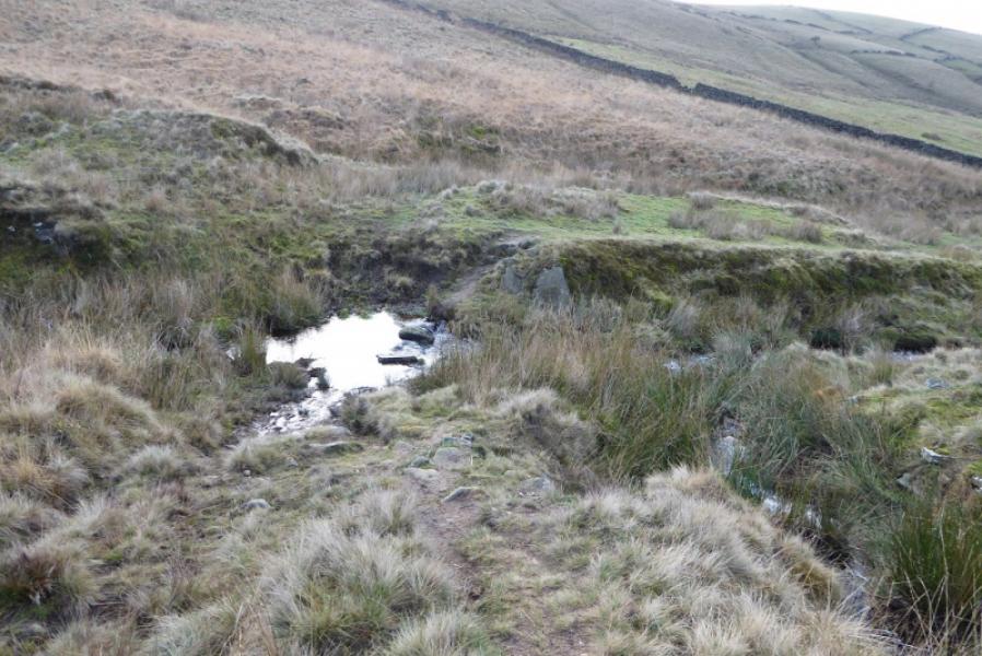
(1) From Bowden Bridge car park, continue up the road (do not cross the bridge by the car park). Soon the private road going up to Kinder Reservoir is reached. This could have locked gates across it so turn right, cross the bridge then follow the footpath on the right of the river. If the gates are unlocked then continue up the track. This leads up to a footbridge which is crossed to gain the top of the private road by another gate. A small footpath gate is on the left of the large gate with a sign saying White Brow. Take this footpath, which is quite steep and cobbled. When it levels out, follow it along the wall on the W side of the reservoir and up the side of the N spur of the reservoir to reach a footbridge. Just beyond the bridge is a sign saying William Clough. Cross the footbridge and follow the obvious path going right along the edge of the reservoir to begin with but it soon starts to climb away from the reservoir. Go through two gates after which the main path starts to descend towards the River Kinder. Don't go this way but continue ahead on a fainter path aiming for the top, N side, of the obvious large wood. Several broken walls are crossed. Follow the path alongside the top of this pleasant wood. When the path starts to get boggy, it looks easier to walk through the wood but this will mean climbing over a low fence when the wood drops to a tributary stream. Cross the stream and continue up the bank (not much sign of a path) then reach the wall running S to N. Head E to reach a path coming up from the River Kinder and follow it up to the Mermaid's Pool which is not seen until within 50 m of it.
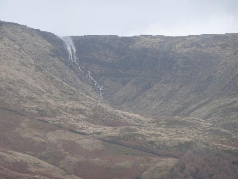
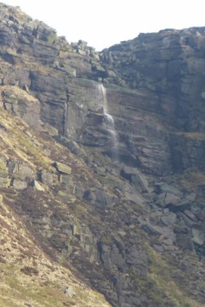
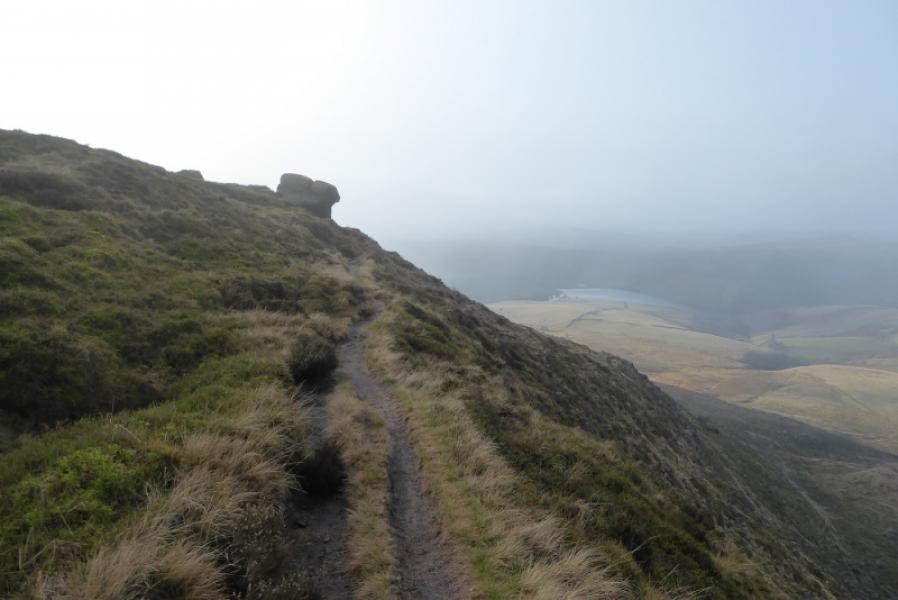
(2) Pick a way up the steep, rough and pathless grass above the pool to reach a path when the angle eases. Turn right and follow this path until it joins the main edge path/ Pennine Way. It may be easier to follow the wall to the W of the Mermaid's Pool up onto the edge of Kinder. Once on the edge, turn right and follow the obvious path which crosses the River Kinder above the Downfall. The crossing is usually easy except after heavy rain.
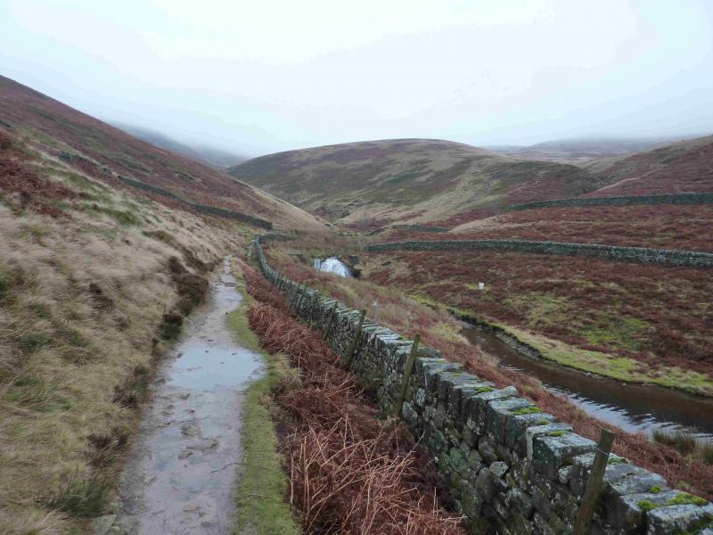
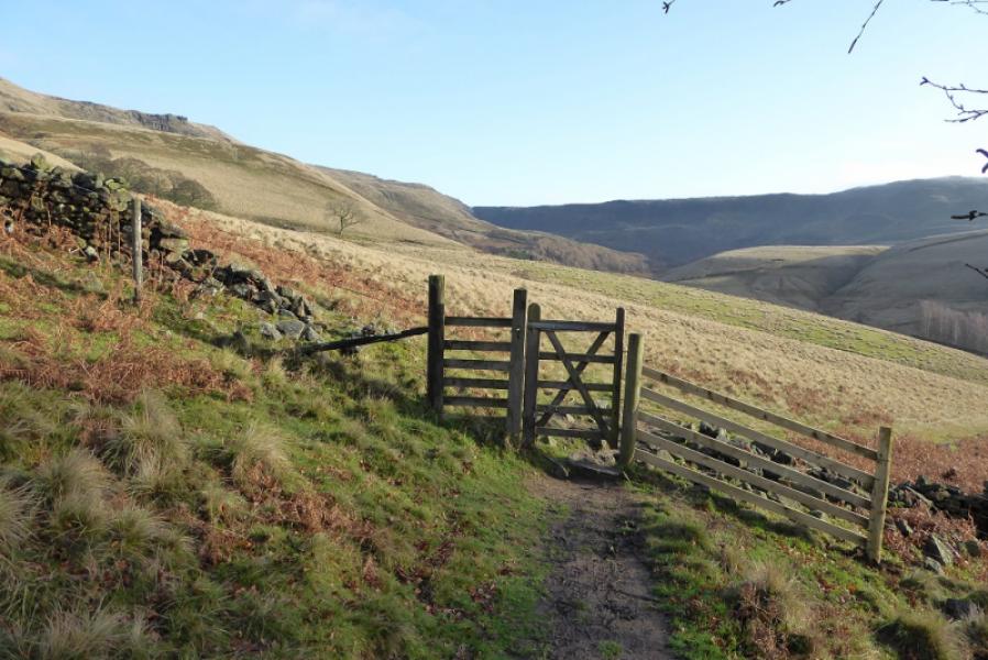
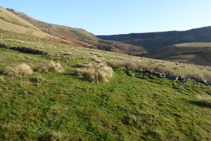
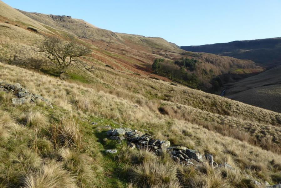
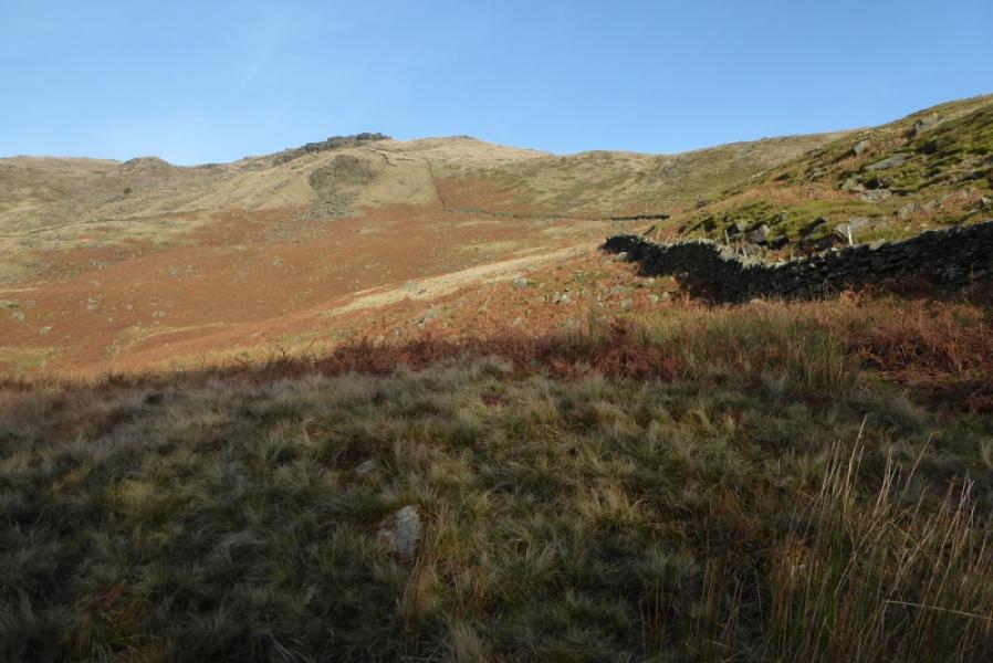
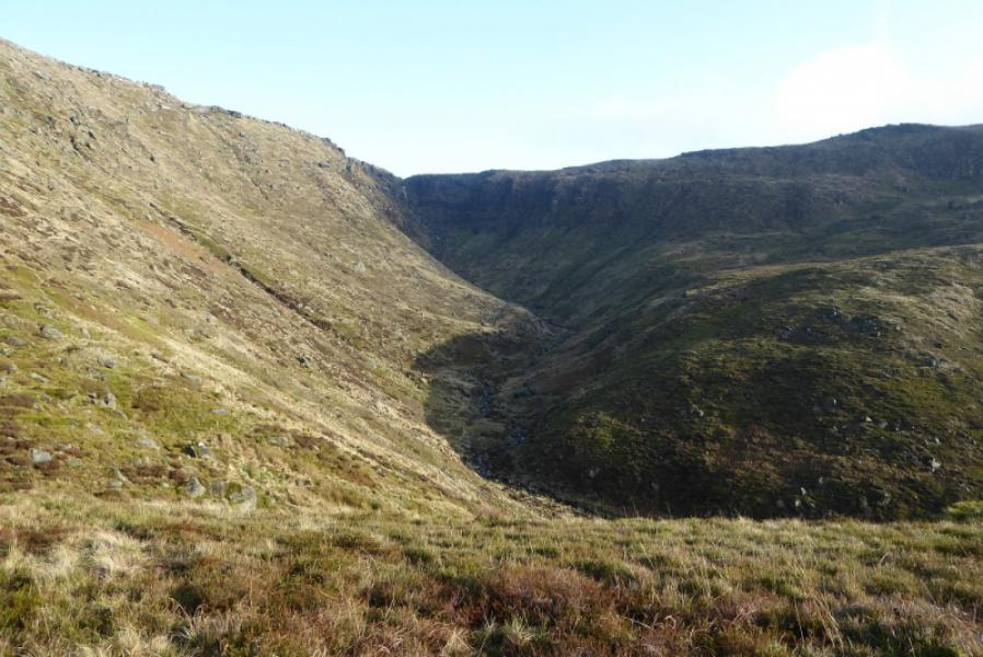
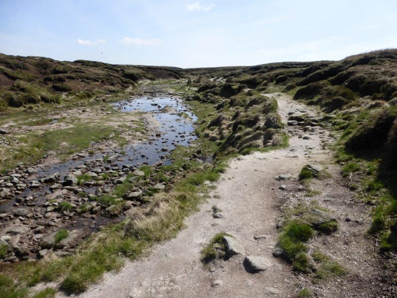
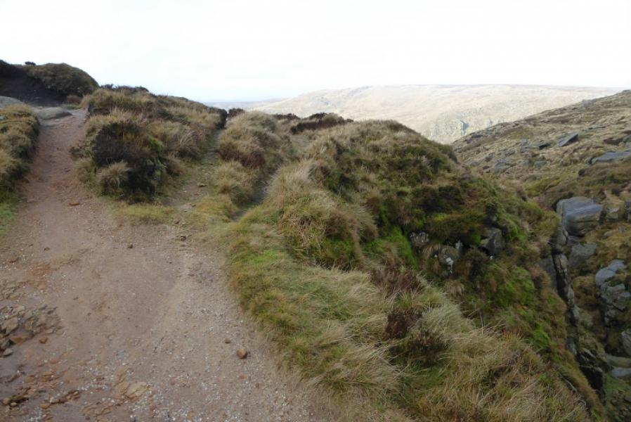
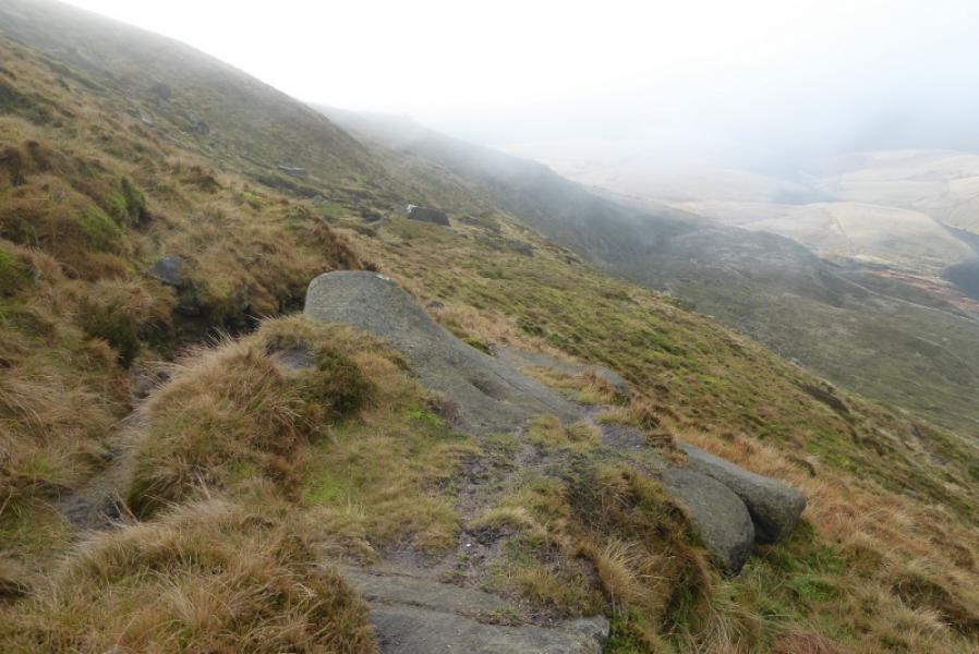
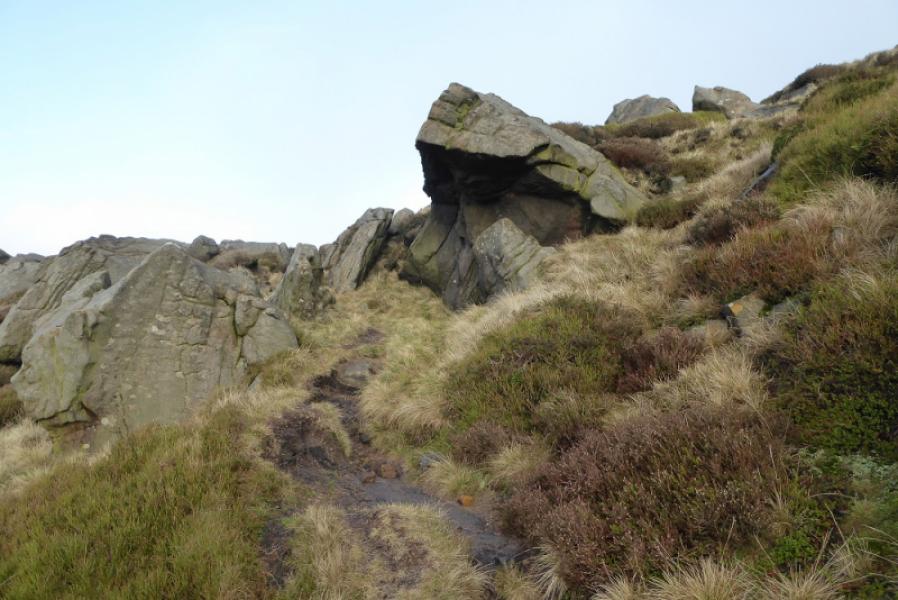
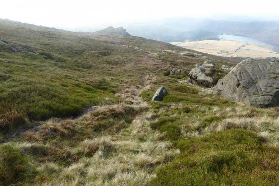
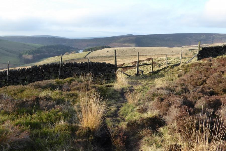
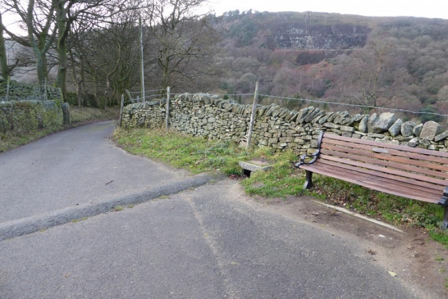
(3) Continue, roughly S, on the edge path/Pennine Way, for about 1 km, to reach the deep cut Red Brook. Turn right here and follow the path. Not long after, at a T junction, turn right onto the Three Knolls path. Follow this for some way to reach another, less obvious, T junction which is just after a very obvious overhanging rock. Turn right onto the path for Cluthers Rock. The path passes to the S and W of the rocks which can be visited by a short detour. Continue down the path and cross a stile in a short fence section on a long wall. Continue down and cross a minor stream to reach a grassy, often muddy, track which passes a long wood on its S side. The track reaches the road to Farlands at a bench and sign. Turn left onto the road and follow to join the outward route at the sheepwash.
Notes
(a) This walk took place on 11th December, 2018.
Photos - Hover over photo for caption. Click on to enlarge. Click on again to reduce.