Get Lost Mountaineering
You are here: England » Peak District » Kinder, Brown Knoll & South Head from Hayfield
Kinder Reservoir, Red Brook, Kinder Downfall & Mermaid's Pool from Bowden Bridge
Kinder Reservoir, Red Brook, Kinder Downfall & Mermaid's Pool
from Bowden Bridge
Start/Finish
Hayfield campsite or Bowden Bridge car park. If coming from the south or east, take the A619 from Chesterfield to Baslow before picking up the A623 signed for Manchester. Those approaching from Buxton, on the A6, will meet this route at a roundabout just before Chapel-en-leFrith. Soon after, take the A624 signed for Glossop. Continue on this road until the right turn into Hayfield village is reached. Turn in then go left and pass the church before crossing the river then follow the road on the N side of the river until past the Sportsman pub. Soon after there is a right turn, over a bridge, for the camp site. There are public toilets just across this bridge. The Bowden Bridge car park is a little further along the road after this turning. Those approaching from Glossop should fork left on the one way street into the village until the above route is joined. There are a few signs in the village for the camp site which may help.
Distance/Time
10 km About 5 hours
Peaks
No peaks as such but the main Kinder edge path is at about 600 m.
OS Outdoor Leisure 1: Dark Peak. OS 110 (1:50 000).
Introduction
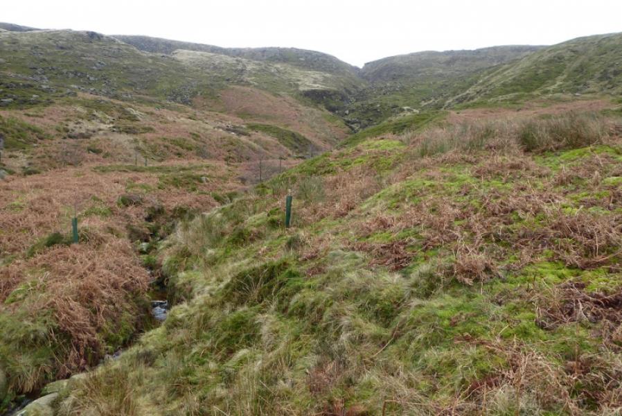
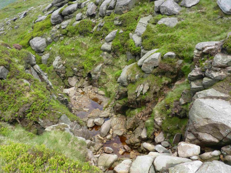
This is a rough walk which is steep and boggy in places. There is a path up the River Kinder which goes almost to Kinder Downfall but this is left well before the Downfall to ascend by Red Brook which is the first prominent gully to the south of Kinder Downfall. The River Kinder is criss crossed a few times which will be difficult after rain; there are also some short mossy and boggy sections which can be unpleasant after rain. The ascent by the side of Red Brook is steep and rough in places. The river above Kinder Downfall is usually easy to cross but can be difficult after prolonged rain. Spotting the path for Mermaid's Pool off the main edge path is not easy and this path soon becomes faint.
Route
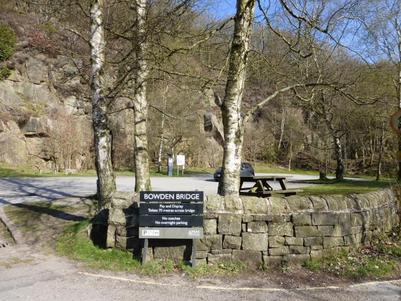
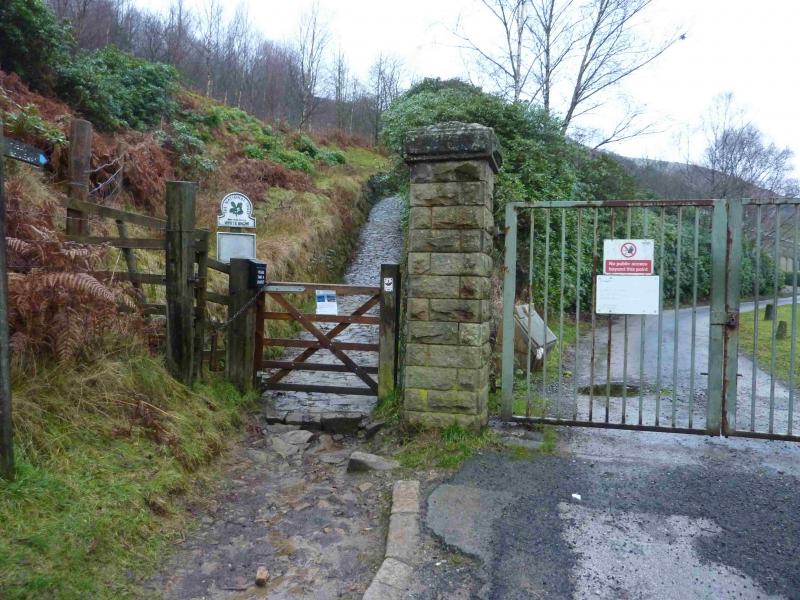
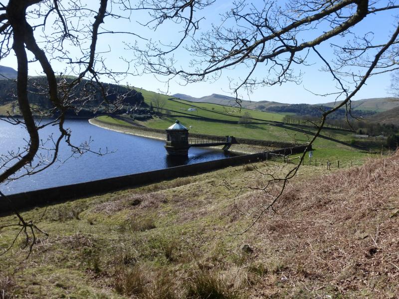
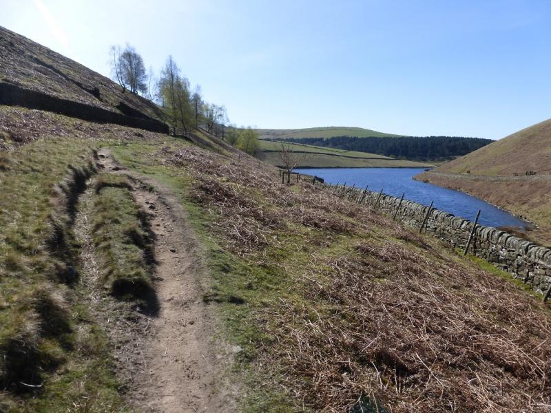
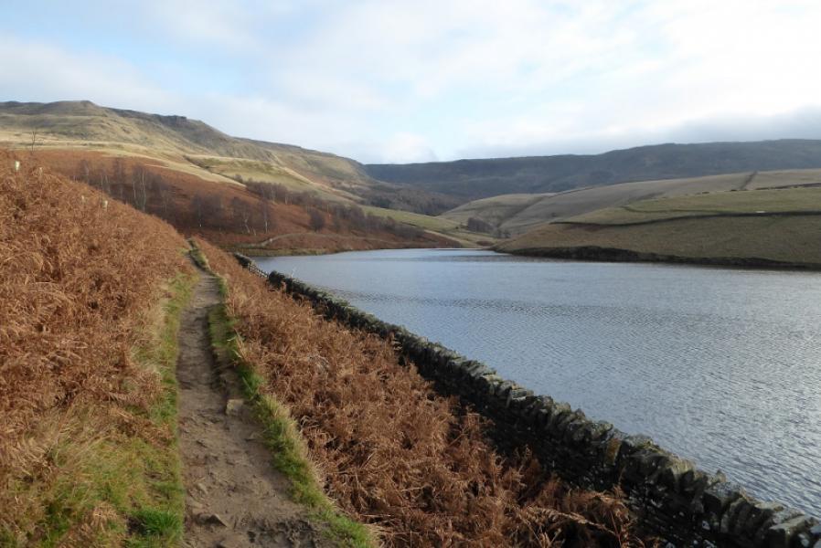
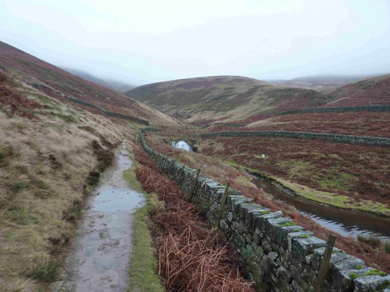
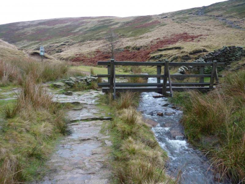
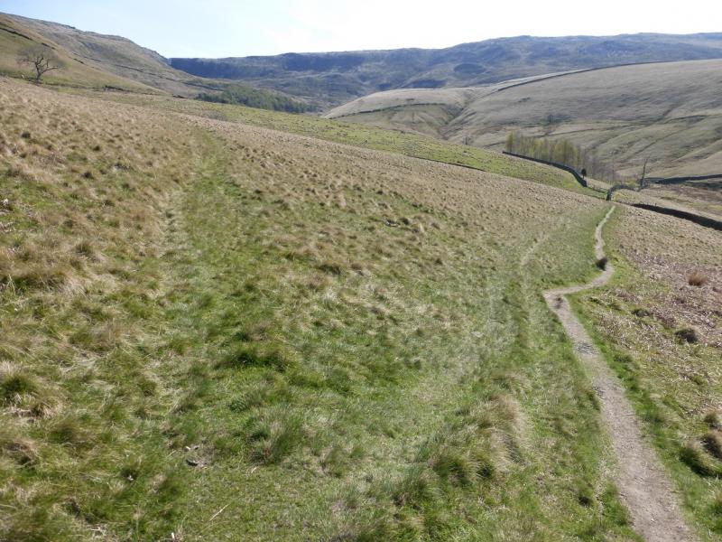
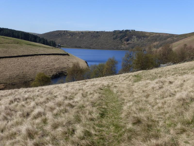
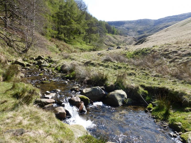
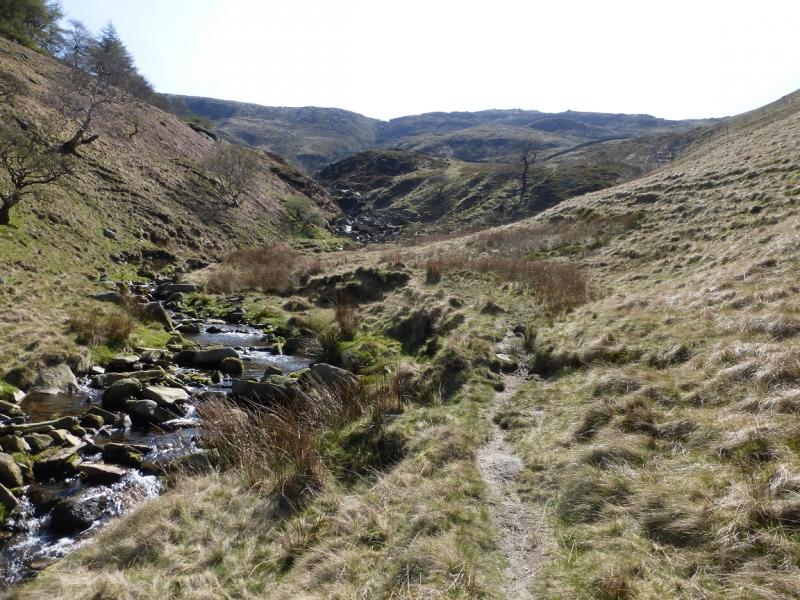
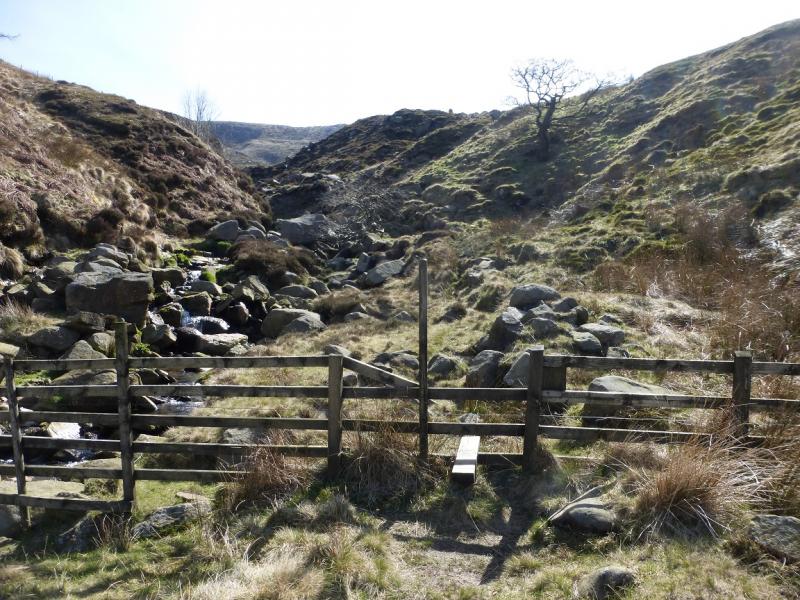
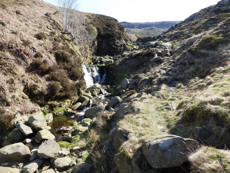
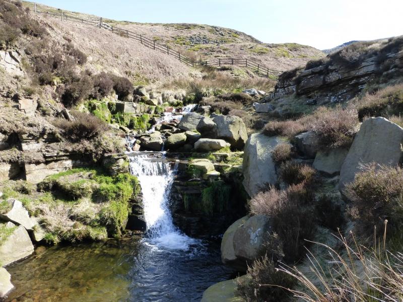
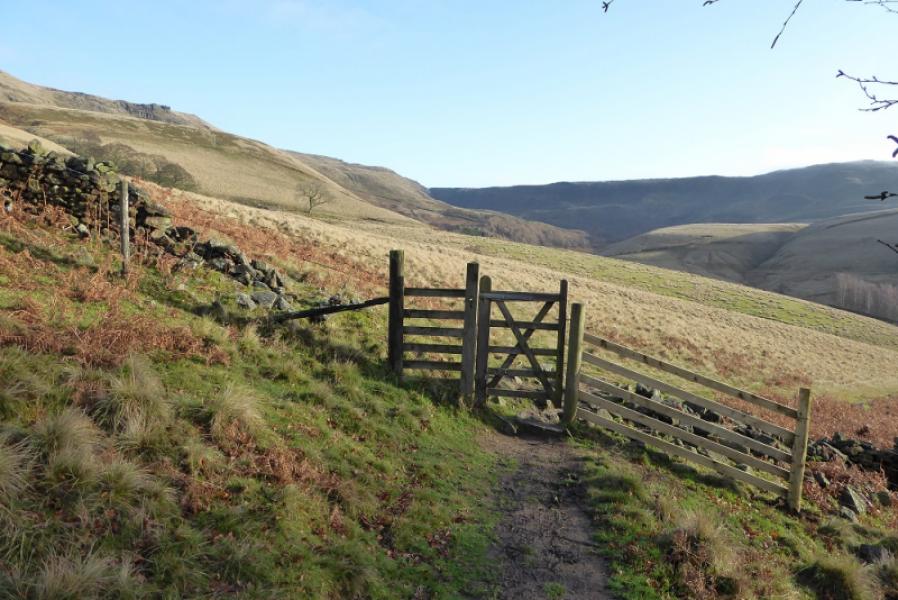
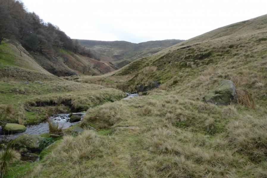
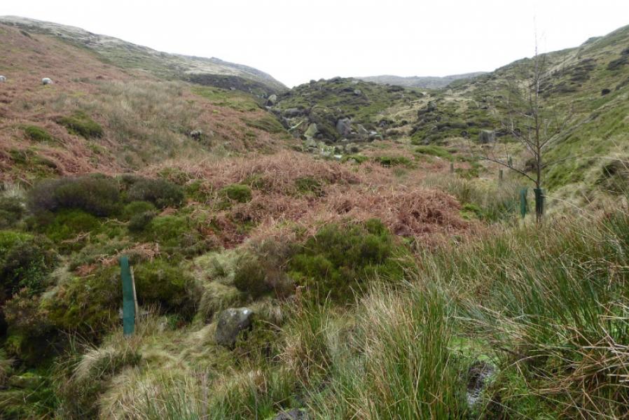
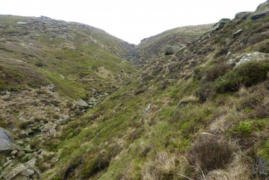
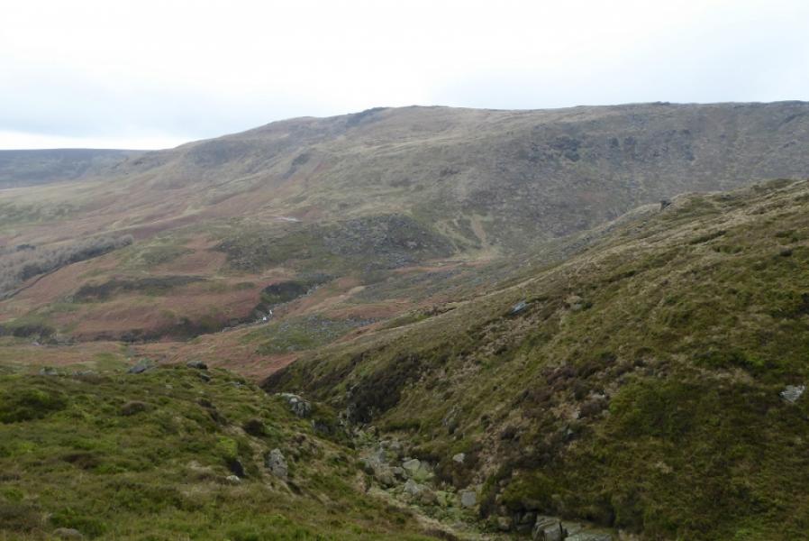
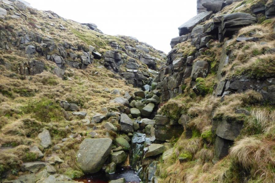
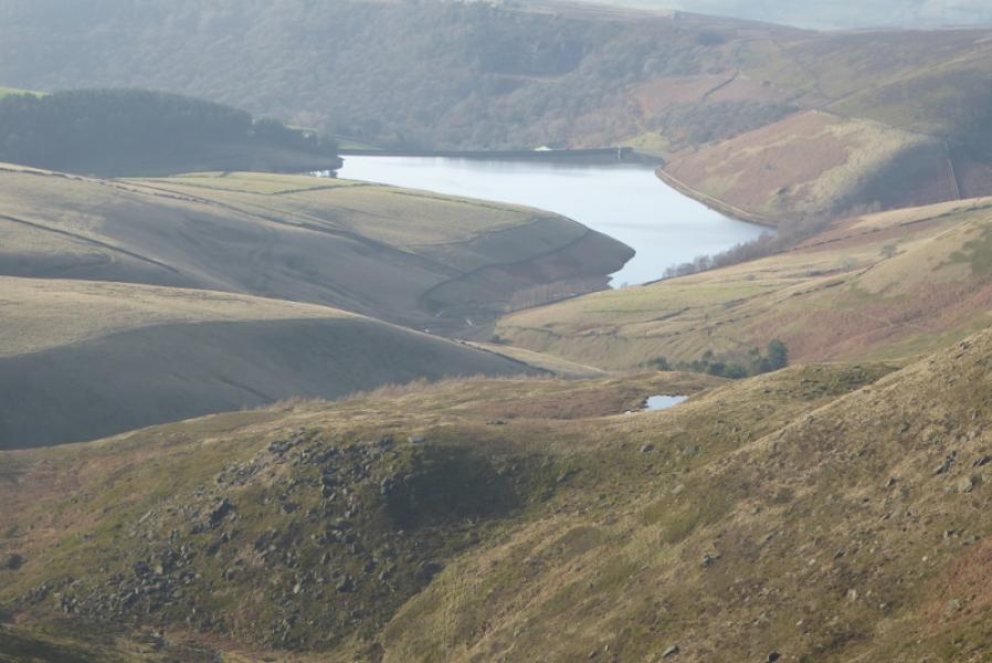
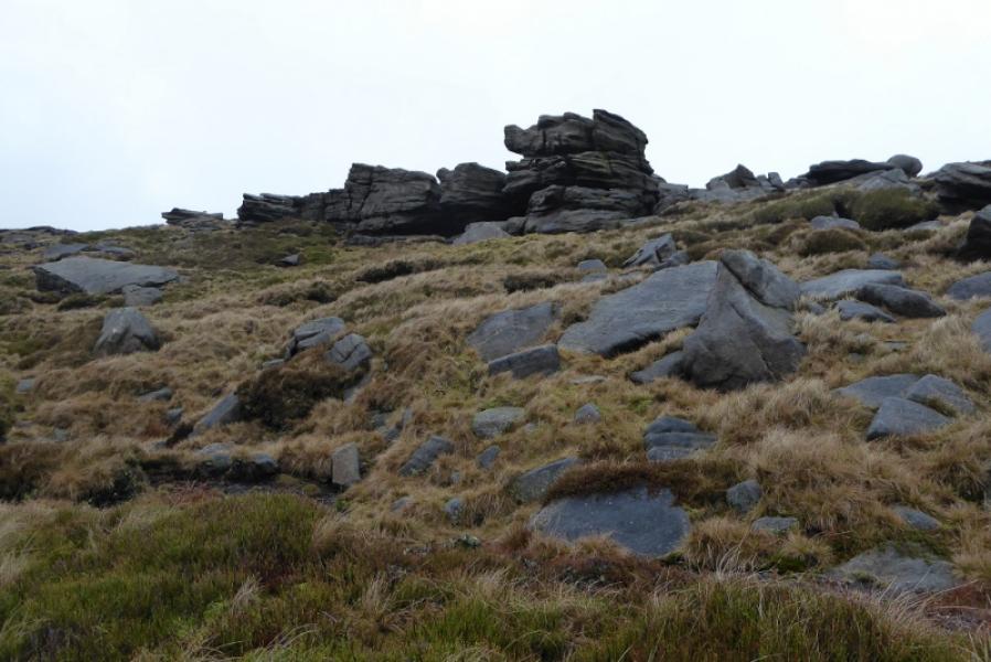
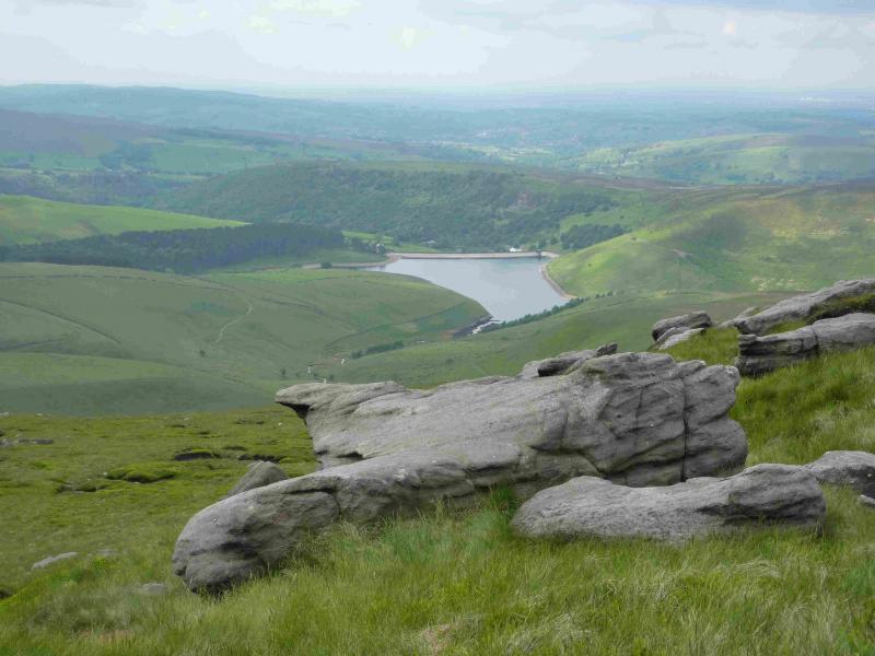
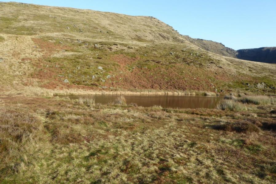
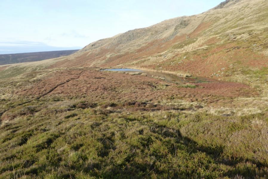
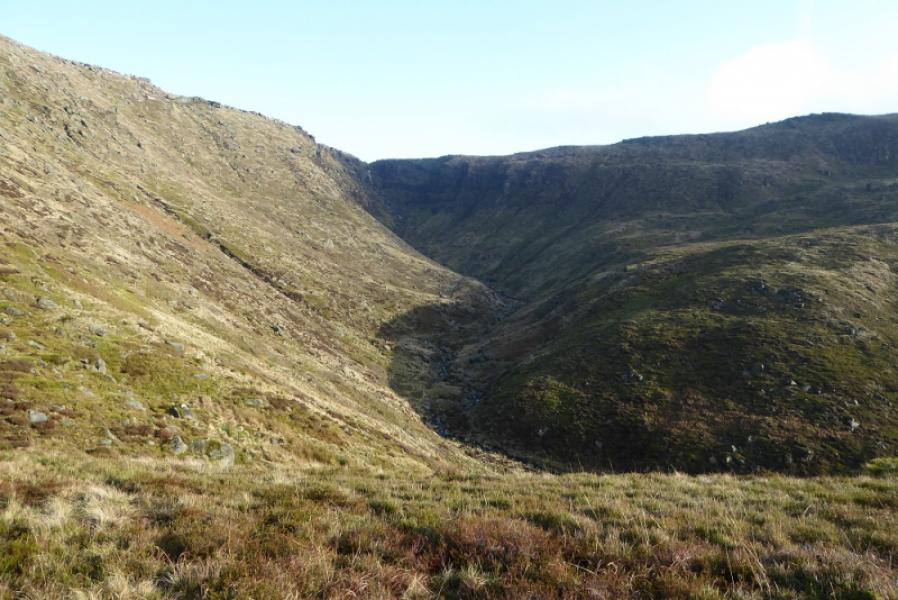
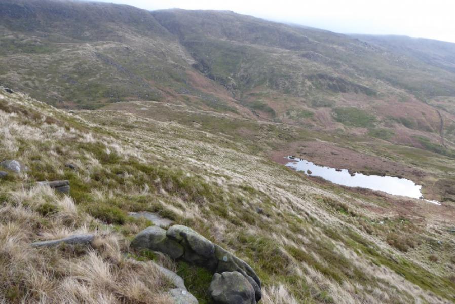
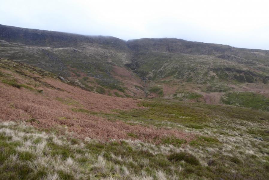
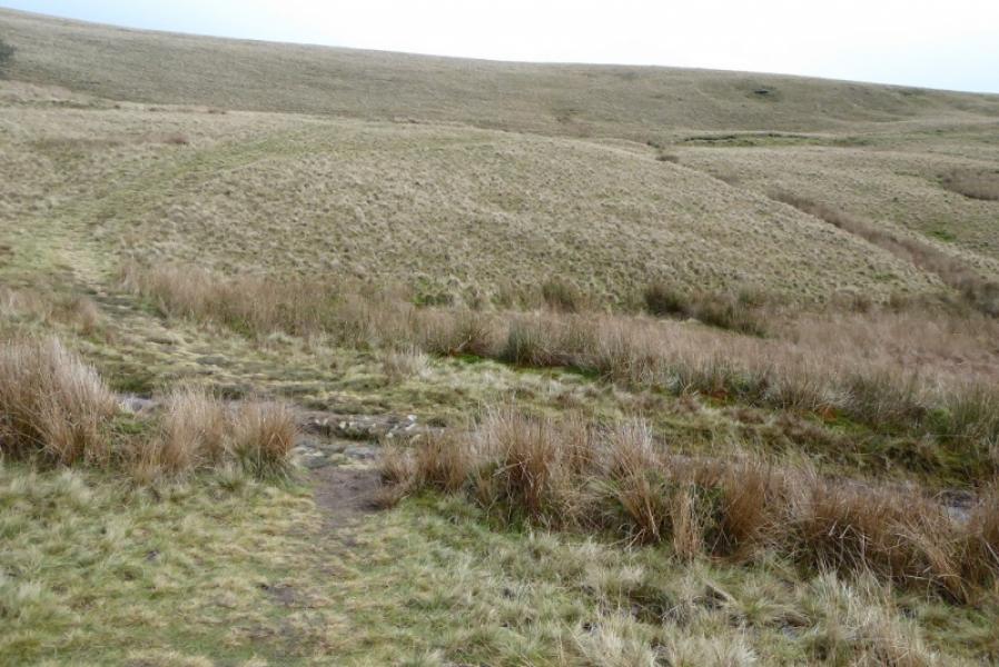
(1) From Bowden Bridge car park, continue up the road (do not cross the bridge by the car park). Soon the private road going up to Kinder Reservoir is reached. This usually has locked gates across it so turn right, cross the bridge then follow the footpath on the right of the river. This leads up to a footbridge which is crossed to gain the top of the private road by another gate. A small footpath gate is on the left of the large gate with a sign saying White Brow. Take this footpath, which is quite steep and cobbled. When it levels out, follow it along the wall on the W side of the reservoir and up the side of the N spur of the reservoir to reach a footbridge. Just beyond the bridge is a sign saying William Clough. Cross the footbridge and follow the obvious path going right along the edge of the reservoir. This leads past a weir crossing the River Kinder near the tip of the E inlet of Kinder Reservoir. Leave this path when it crosses the river and follow a fainter, but still obvious, path up the River Kinder. This is mainly pleasant with the odd short wet section. The path criss crosses the river several times. When the obvious wood is passed, the Red Brook gully should be fairly obvious. The stream flowing down it is quite minor but should not be too difficult to spot as the River Kinder path crosses it! A faint path starts up the left (E) side of Red Brook but higher up, it becomes more difficult to follow. Soon cross to the W side and keep picking a way up without straying too far from the brook. In dry weather, it may be possible to stay in the stream bed although this will mean clambering over many boulders. Eventually, reach the main edge path which crosses Red Brook.
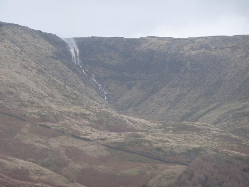
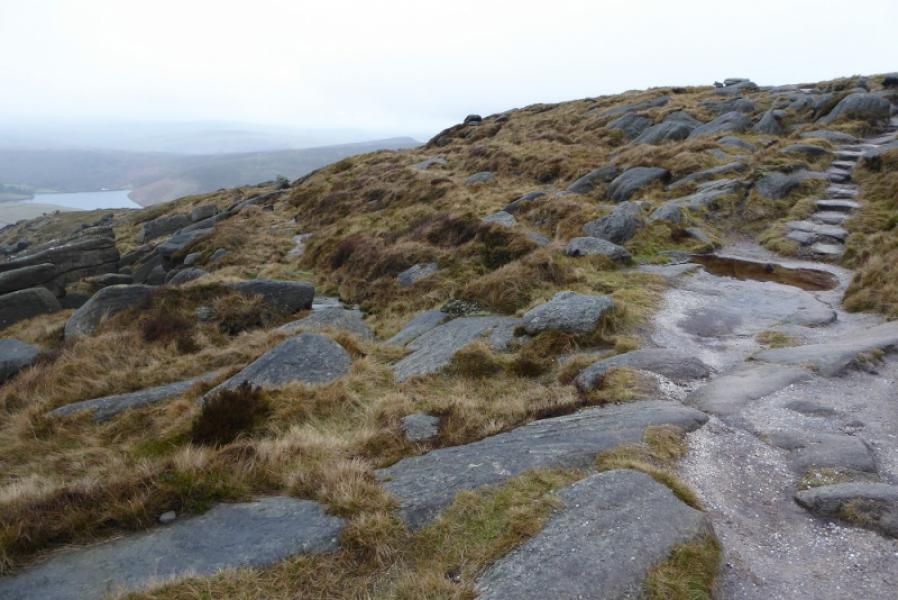
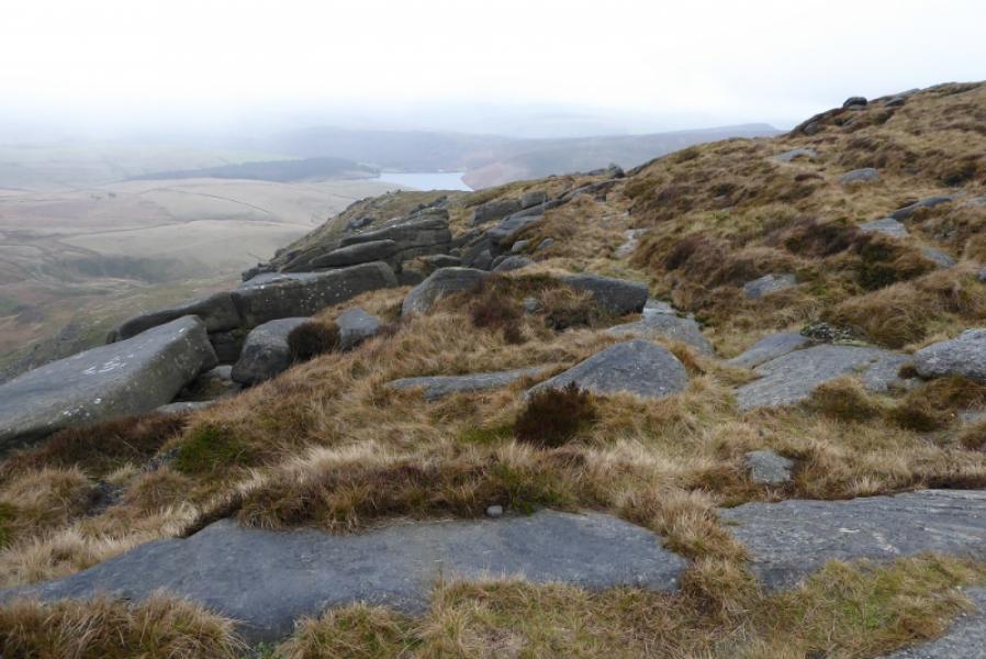
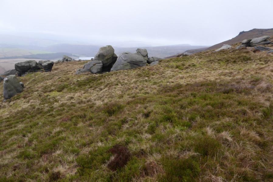
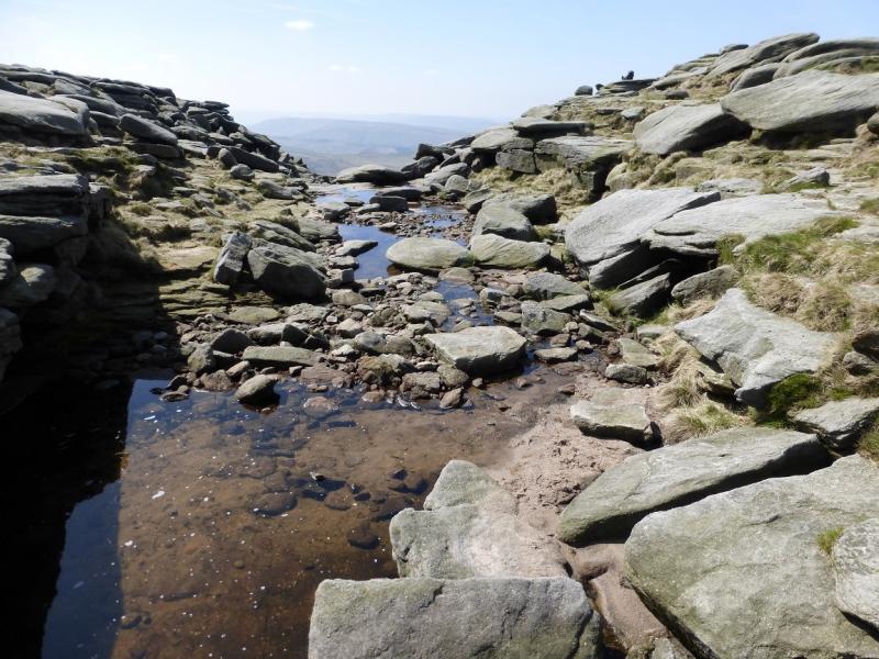
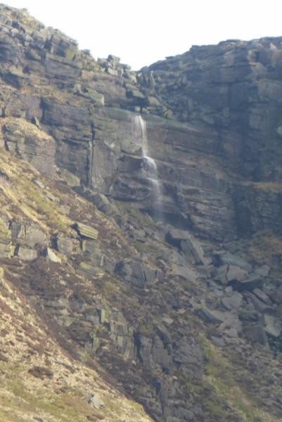
(2) Turn left, N, and follow the main edge path to reach the obvious and deeply incut Kinder Downfall. Cross over and follow. After passing a significant outcrop, there are some steps on the main edge path. Fork left here and follow a faint path. Soon pass overhanging outcrops (on the right). Continue on what seems to be an ill defined ridge. In clear weather, the Mermaid's Pool will soon be seen below to the left. Stay with the path until it becomes too faint to follow then weave down the grassy slopes to the Mermaid's Pool.
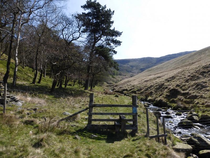
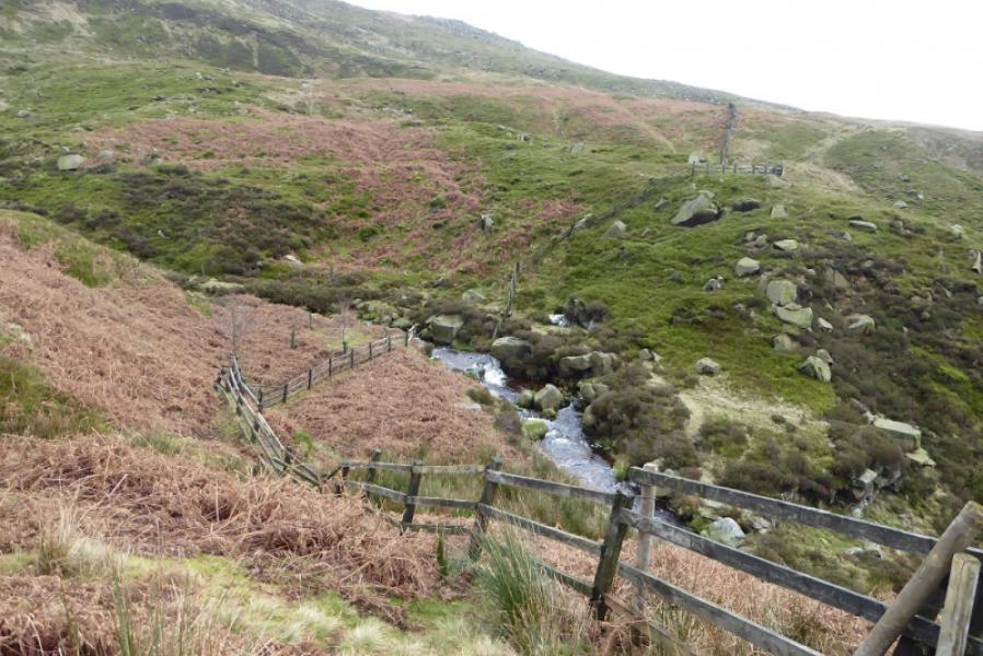
(3) Pass to the right of the pool where a fairly obvious path starts descending towards the River Kinder. The path is good for a while but soon becomes faint so then head towards the wall/fence not far off to the right and follow this down to just above the River Kinder. About 50 m above the river, cross the fence and walk besides a barbed wire fence well above the river. There is a faint path to start with. When the ground becomes wetter, ascend a little to just inside the wood and continue. The wood is on a ridge and a reasonable path soon appears which leads down this ridge to reach the River Kinder where a very minor tributary is crossed. Follow the river down, crossing over when the better path is on the other side. Reach the footbridge crossed earlier but do not cross.
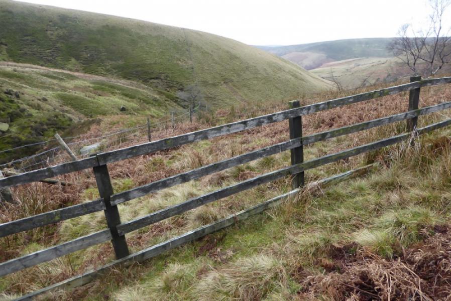
(4) From the footbridge, ascend the obvious path up the S bank and follow the path/track over Blackshaws. After its highest point, continue to a fork where one goes left towards a wood below Upper Moor. A wide grassy path leaves the track and goes downhill well to the left of the wood. Follow this down to reach a shallow ford. Cross over and follow the path/track alongside the obvious long wood. This leads to a tarmac road at the SW corner of Kinder Reservoir. Turn left and follow the road, past Farlands, to reach the outward road which is then followed back to Bowden Bridge.
Notes
(a) This walk took place on 14th January, 2019.
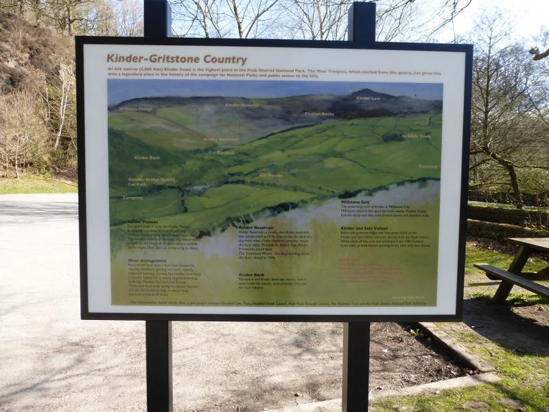
Photos - Hover over photo for caption. Click on to enlarge. Click on again to reduce.