Get Lost Mountaineering
You are here: England » Pennine Way » 3. Malham to Hawes
3. Halton Gill to Stainforth Road via Pen-y-Ghent to Horton-in-Ribblesdale
3. Halton Gill to Stainforth Road via Pen-y-Ghent to Horton-in-Ribblesdale
Start/Finish
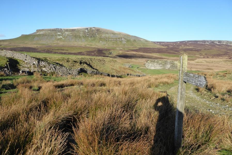
About 4 miles up the road to Halton Gill from Stainforth (on the Settle to Horton-in-Ribblesdale road) at SD 852 723. After 3 miles, a rough track, signed as the Pennine Way goes N from the road to Dale Head then on to Pen-y-Ghent. There is also a cattle grid and a red honesty box in the wall. The start is about a mile further on towards Halton Gill after the prominent house, Rainscar) on the left. There is a Pennine Way sign at a cattle grid further up the road from the house. Parking has to be on the verge which may be soft in places. The road is also known as the Silverdale Road. Note that older maps may show a different route for the Pennine Way which is to the east of the last mile of road.
Distance/Time
10 km. About 3 – 4 hours.
Peaks
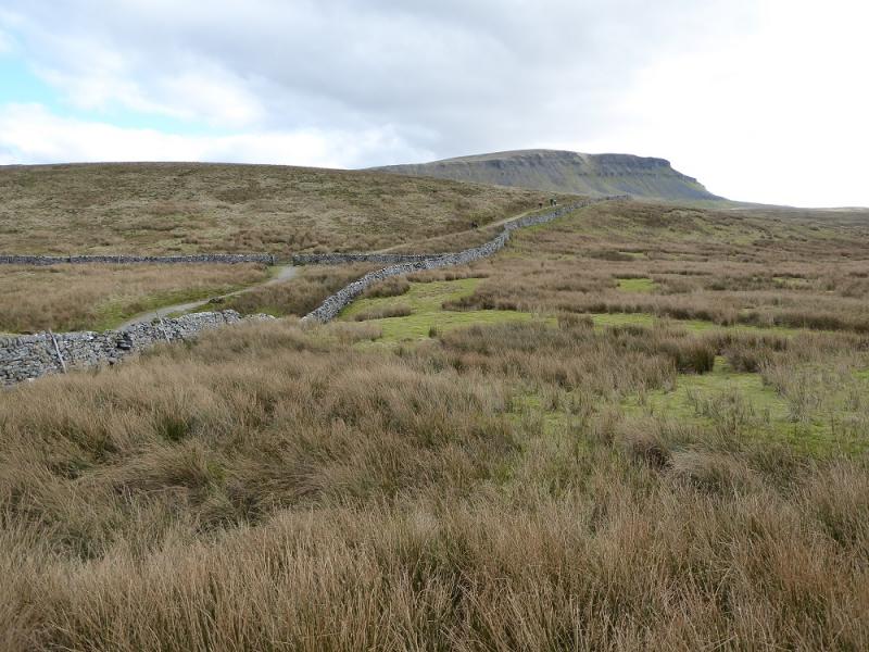
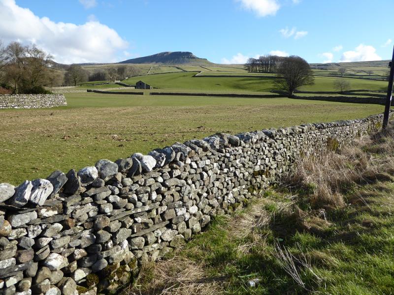
Pen-y-Ghent, 694 m, SD 838 734.
OL2 Yorkshire Dales: Western Area
Introduction
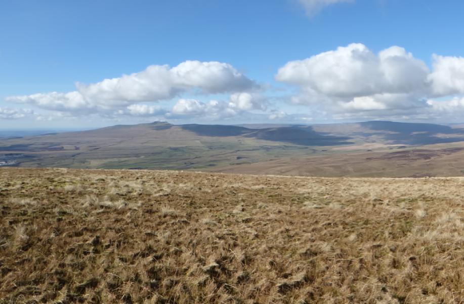
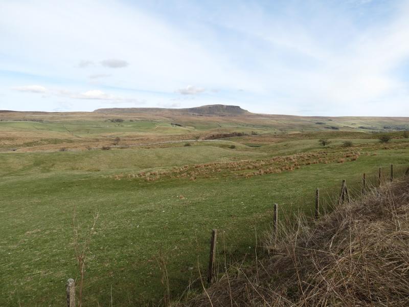
Pen-y-Ghent is the lowest of “The Three (Yorkshire) Peaks” with Ingleborough and Whernside being the other two. Despite this it gives the best ascent of the three with an attractive approach up its rocky southern shoulders. Navigation is very straightforward even in mist but it is best saved for a clear day when the views are superb in all directions. This is an ideal walk for a short winter's day. Hands will be needed on the approach up the rocky shoulders but it is not really a scramble unless one chooses to make it so. Note that, in winter, patches of ice may be found amongst the rocks which means more care than usual is needed especially in descent.
Route
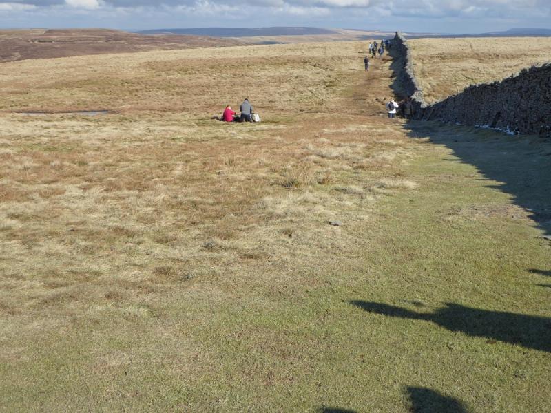
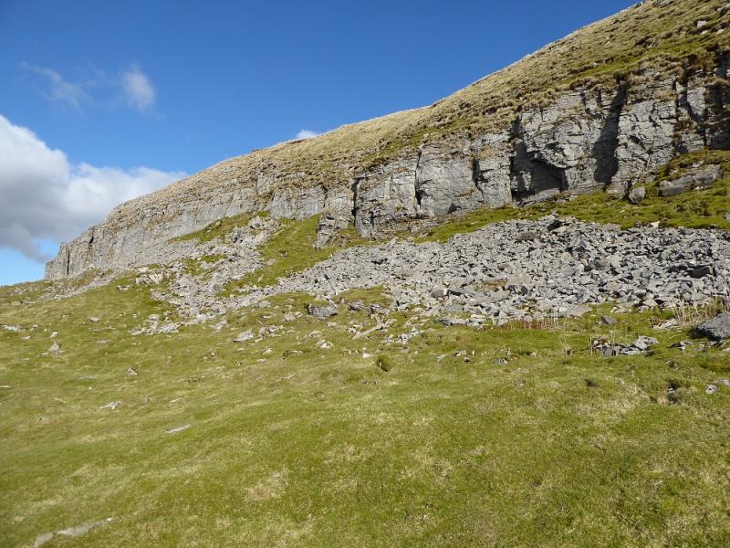
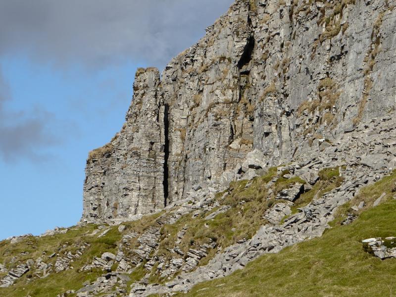
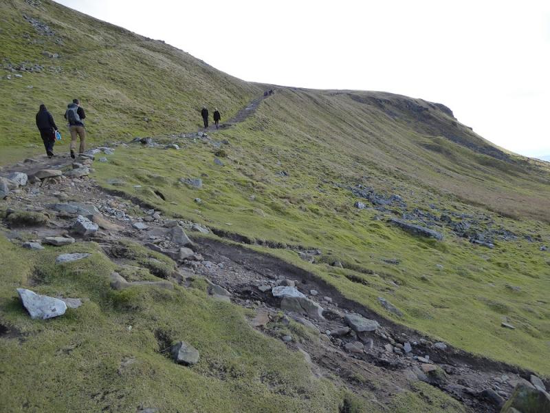
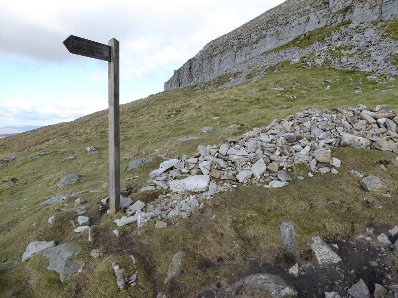
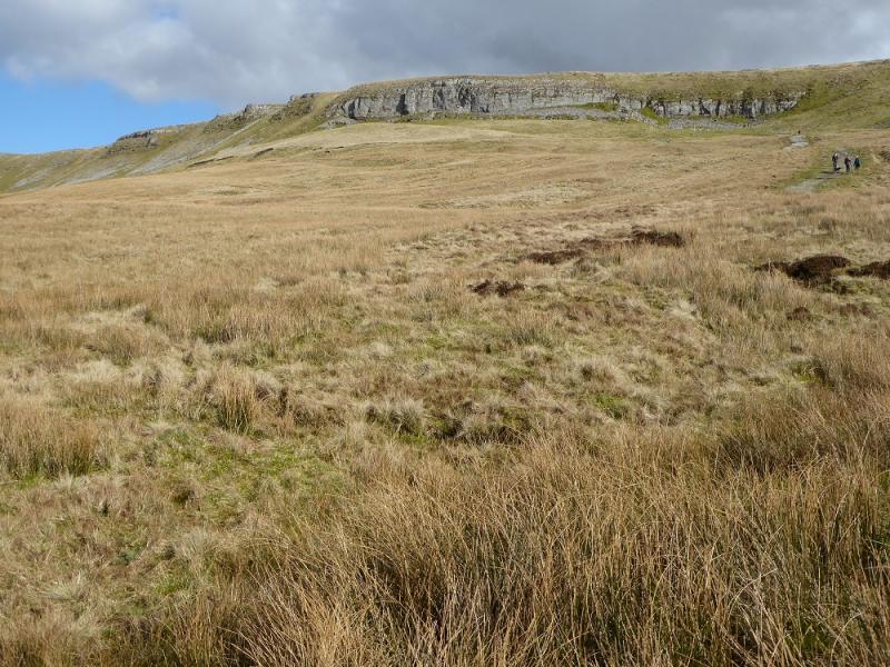
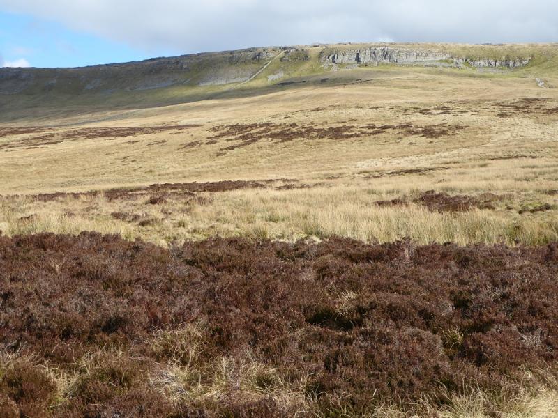
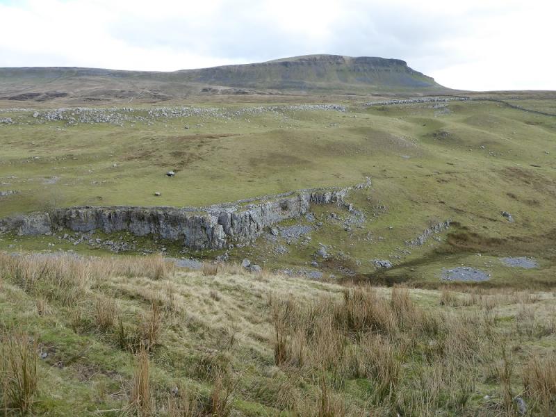
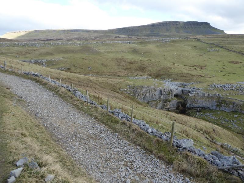
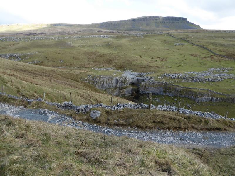
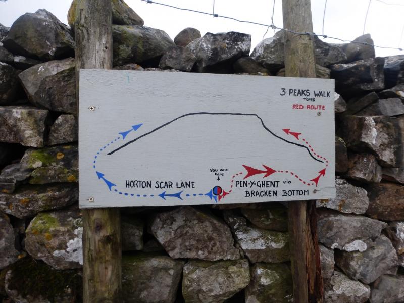
(1) Walk SW up the road, passing the house at Rainscar, to reach the signpost for the Pennine Way going N. Follow the Pennine Way sign to pass Dale Head and continue on the track to reach a bend where the path leaves the track (which continues to Helwith Bridge). Follow the path up on to the S ridge, crossing a high stone stile on the way. Continue up the path to pass a sign where the path from Bracken Bottom (Horton-in-Ribblesdale) joins the S ridge path. Continue N up the ridge which soon steepens. The path drifts to the right away from the wall on the crest to avoid the rocky nose. Higher up, there is a rocky section where there is a choice of routes and difficulty but scrambling can be avoided. Once above here, the gradient eases and a slabbed path takes over. The trig point is soon reached which is the summit of Pen-y-Ghent, 694 m. This is very close to the wall on the crest which has a small seating area built into it. There is a very useful sign post on the wall.
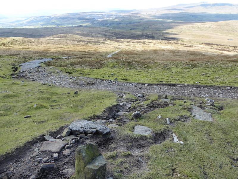
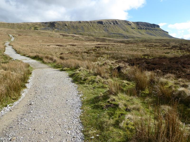
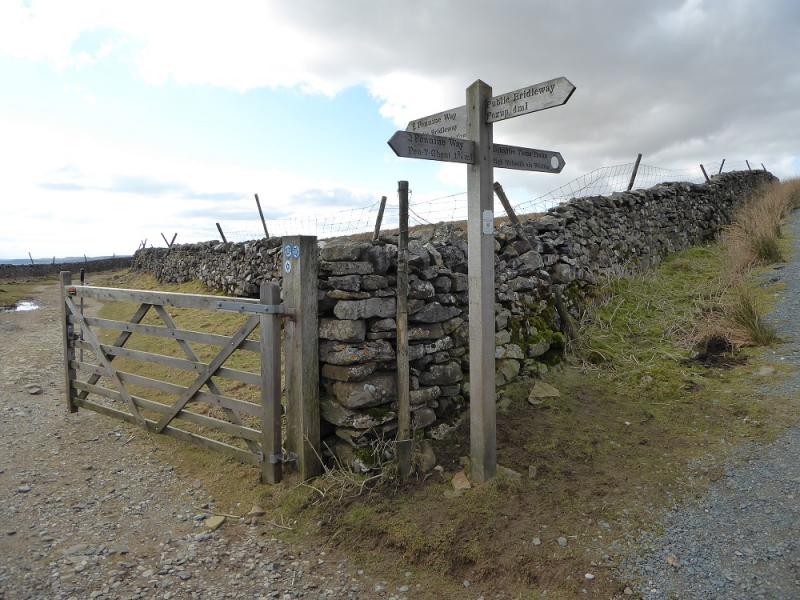
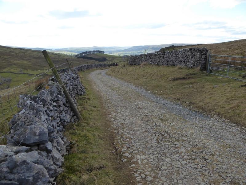
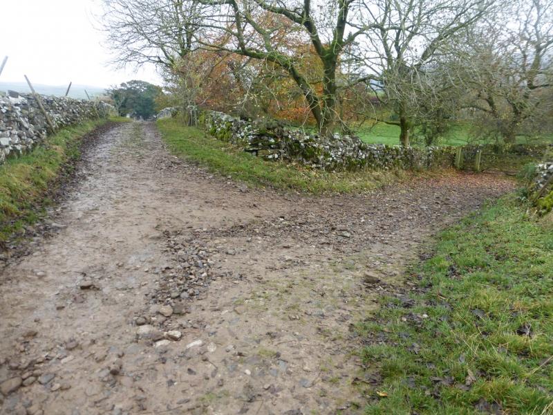
(2) Cross the wall and follow the sign for Horton, roughly NW. Initially the path is very wide but soon narrows as it turns N along the edge to the W. Further down, the path goes sharply left, again signed, just below a limestone crag (on the right). The path steepens for a while before easing and then, after about 1.8 km, reaches a crossroads where one goes left on to a track known as Horton Scar Lane from which there are good views of typical limestone scenery. This leads back to the village but splits just before the houses. Go right to reach the main road not far from the main road (right) and cafe (left).
Notes
(a) This is a composite walk from walks which took place on 28th February, 2016 and 28th January, 2019.
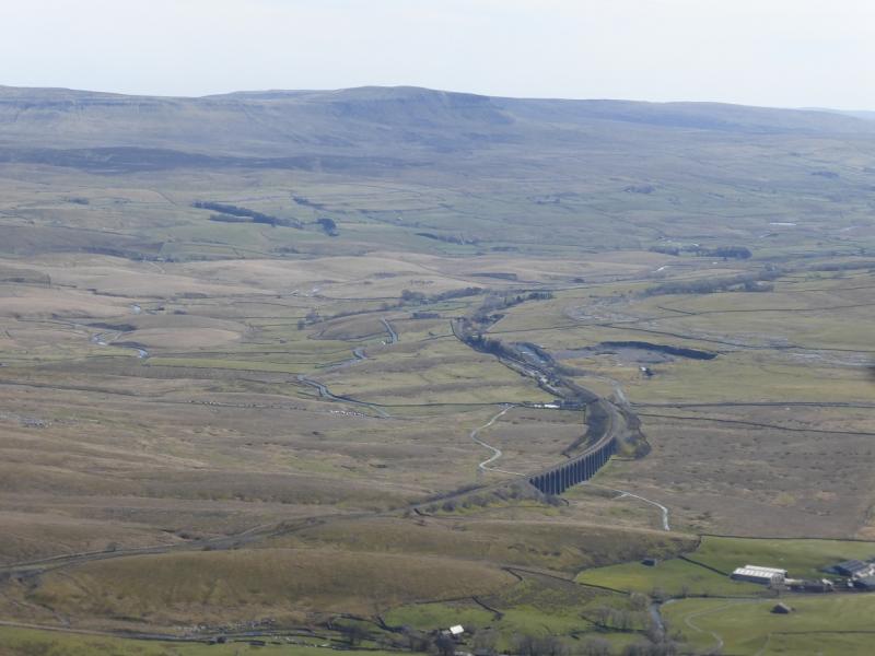
Photos - Hover over photo for caption. Click on to enlarge. Click on again to reduce.