Get Lost Mountaineering
You are here: England » Yorkshire Dales » Southern Area
Malham Cove & Malham Tarn from Malham
Malham Cove & Malham Tarn from Malham
Start/Finish
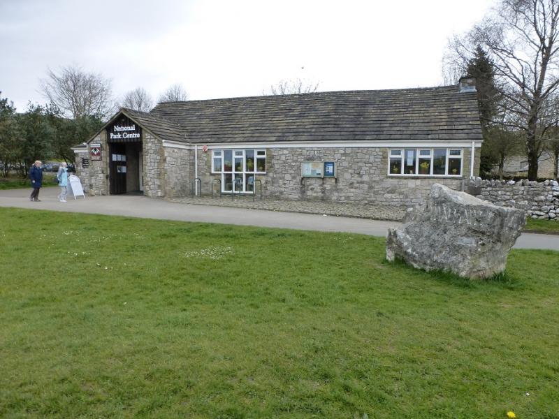
Malham Village where there is free parking on the lanes or pay and display in the National Park centre car park. If coming from the south, look to leave the A 65 around either Gargrave or Coniston Cold. If coming from the north, look to approach via Settle.
Distance/Time
12 km. About 4 – 5 hours.
Peaks
No peaks as this is mainly an edge and moorland walk but the highest point is about 400 m.
OL10 Yorkshire Dales: Southern Area
Introduction
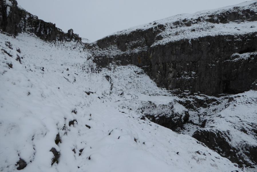
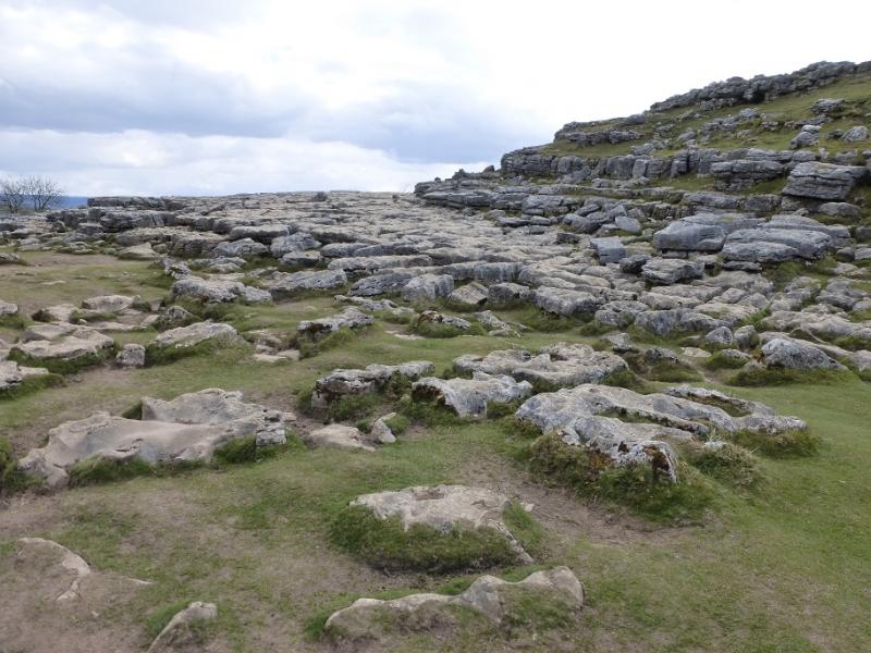
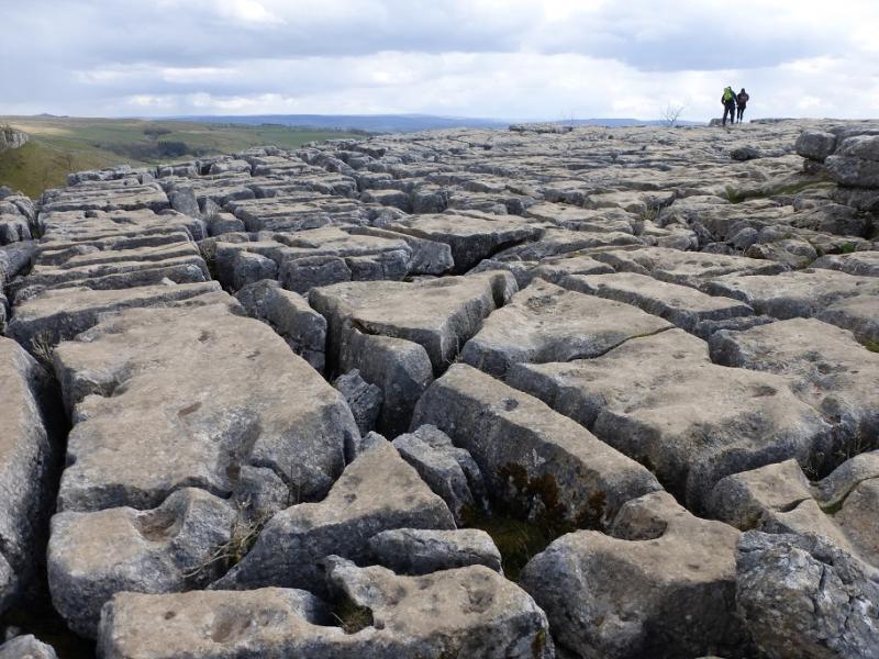
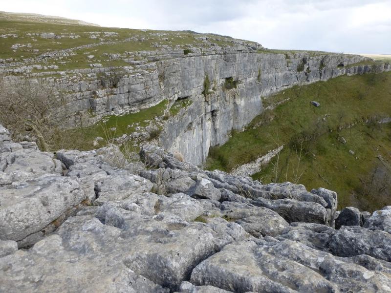
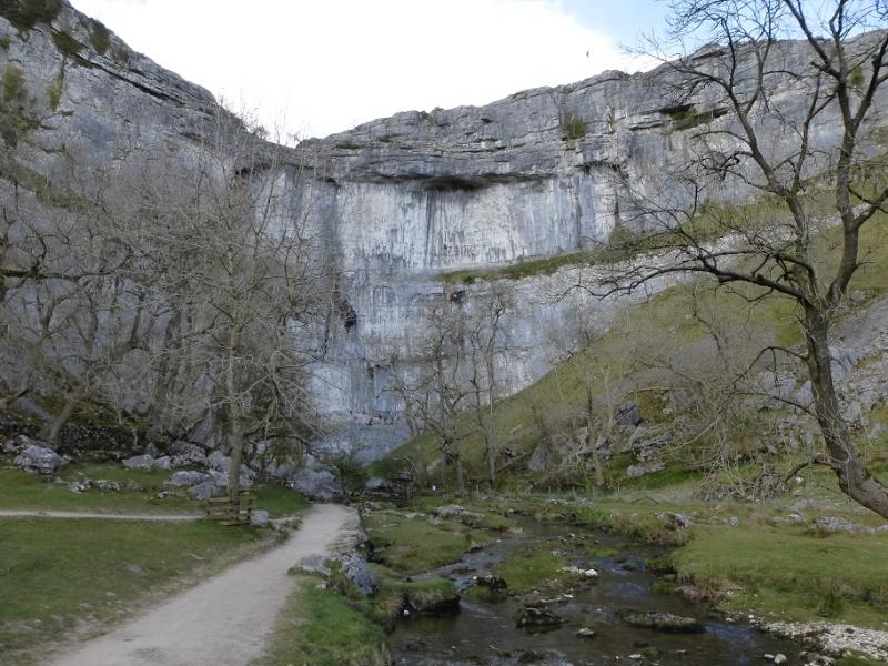
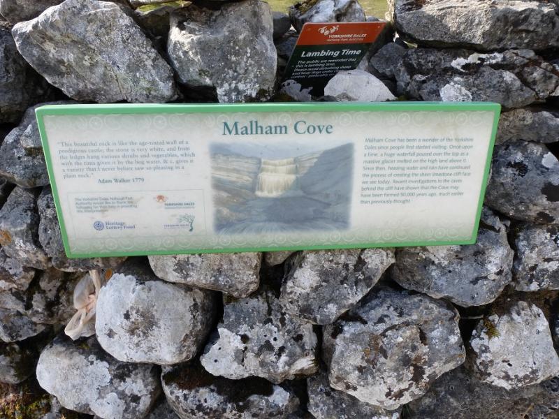
This is a fine walk in the heart of Limestone Country. Malham Cove is one of the most famous landmarks in England with its great limestone cliffs. The ascent path safely ascends the side of the cliff although it can be very slippery in winter conditions when many of the paths can be hidden beneath the snow. Malham Tarn is a national nature reserve. To try and make the walk as circular as possible, part of the route uses minor roads in the vicinity of Malham Tarn.
Route
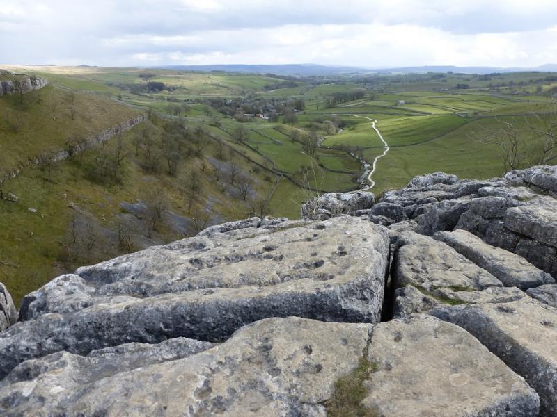
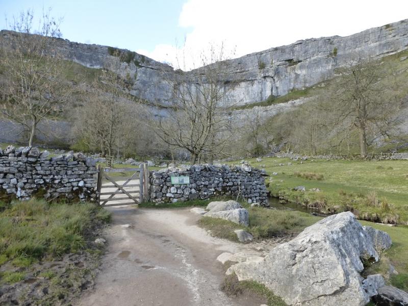
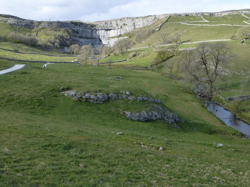
(1) From the National Park Centre, follow the road heading into the village. Pass the Buck Inn and continue up Cove Road. Once past the houses, leave the road for the Pennine Way on the right which heads towards Malham Cove. Just before the cliffs of the cove are reached, the Pennine Way forks left towards some steps. Climb these steps; there are lots of them! Pass a plaque then, soon after, the path leaves the wall and goes right. A sign would be useful here. Pick a way across the limestone pavement, with deep cracks, which is at the top of Malham Cove. Continue and descend slightly to reach a sign post. Follow the Pennine Way by a wall, roughly NNW, to reach a stone stile. After this is a National Trust sign for Ewe Moor. This is the entrance to the Watlowes Valley. Follow the path up the valley with increasingly high crags on either side. Climb out of the valley on the stepped path to reach a signpost. Take a reverse right fork here, signed Pennine Way, and follow the path E then curving around to N below Comb Hill with impressive crags on each side. Leaving the crags behind, the Pennine Way follows a wall, roughly N, until a stream appears when the Pennine Way drifts left to avoid some wet areas. Reach a signpost and continue to reach another signpost by a gate then soon reach the road to the E of Low Trenhouse.
(2) Turn right and soon reach a signpost. Go left, N, here and follow the Pennine Way to pass Malham Tarn on its E side. There are occasional signposts and the prominent Great Close Scar is passed.. Soon after, a wood is entered near to the NE corner of Malham Tarn. Follow the track around the back of Malham Tarn House then, after it becomes a road, past the entrance to the nature reserve. The Pennine Way goes N just before Keeper Cottage but continue on the road. Soon after, a walled lane goes left; it has a post box in the wall at its start. Walk all the way down the lane to join the road coming from the N. Turn left, S, and continue to a junction. Fork left for High Trenhouse and Malham. Pass High trenhouse and reach the crossroads at Streets. Cross over, SSE, and take the road towards Malham. Cross a cattle grid after Moorheads, then a very long crag known as Lang Scar before reaching a second cattle grid at Langscar Gate. Leave the road just after the cattle grid and take the path for Watlowes. Follow this to cross a stile then continue a short distance to reach the top of the steps which were climbed earlier to leave the Watlowes valley. Descend the steps and retrace the outward route through the Watlowes Valley to the top of Malham Cove then down the many steps before returning back to Malham village.
Notes
(a) This walk took place on 30th January, 2019.
Photos - Hover over photo for caption. Click on to enlarge. Click on again to reduce.