Get Lost Mountaineering
You are here: Ireland » South West » Killarney to Bantry to Cork
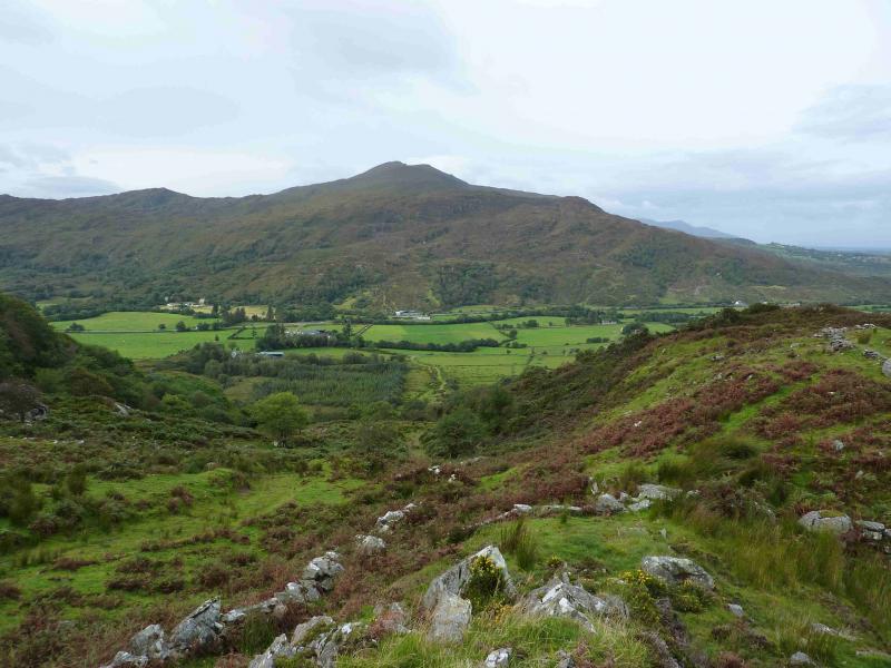
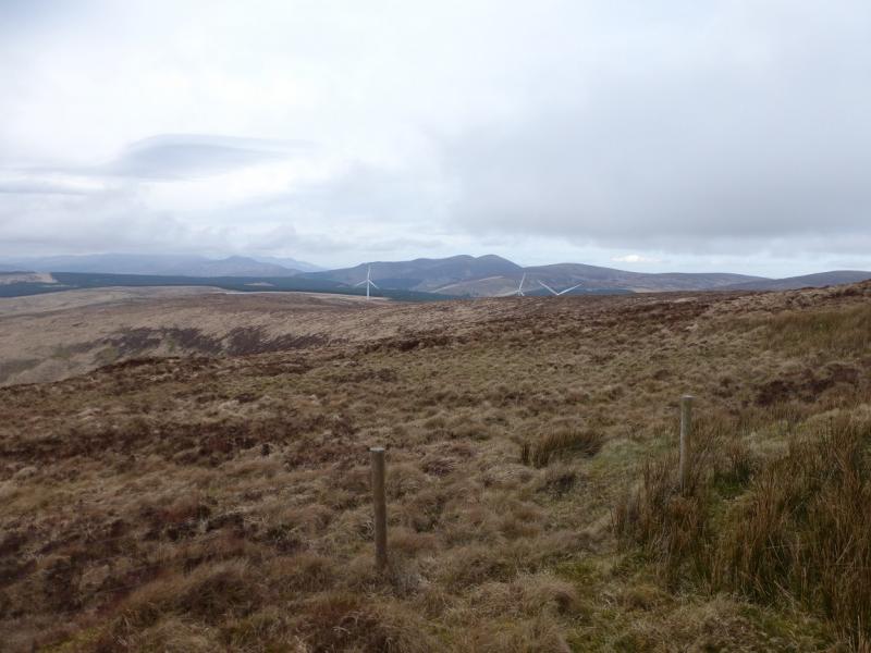
Crohane
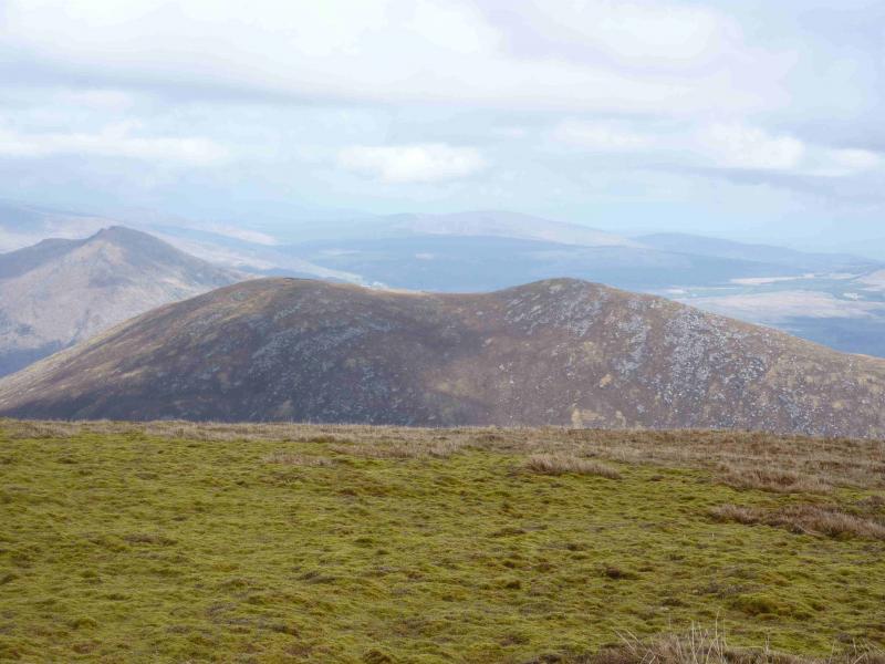
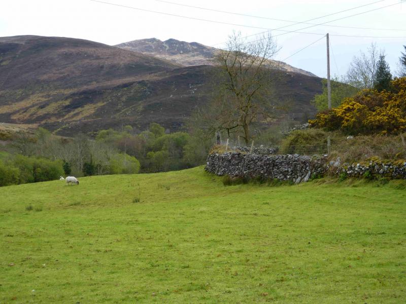
Crohane from near Loch Guitane
Start/Finish
From Killarney, take the N22 road towards Macroom. After about 11 km, about a mile before Glenfesk, turn right on to a minor road signposted Loch Guitane. After about 0.2 miles, pass below some power lines. After another 0.4 miles, there is a gravel track on the left almost opposite a house which in 2012 was an Art Gallery. About 40 m further, there is a tarmac road on the left. Drive up this road and just around the first bend is the top of the gravel track. Turn on to the track and park carefully by the wall on the left taking care not to obstruct the entrance to the house (on the right of the track).
Distance/Time
8 km Approx 3 hours
Peaks
Crohane, 659 m, W 050 829 (Irish National Grid System)
Irish OS Discovery Series Map 79 (1:50000)
Introduction
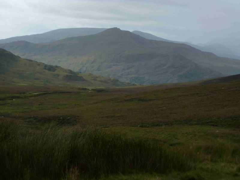
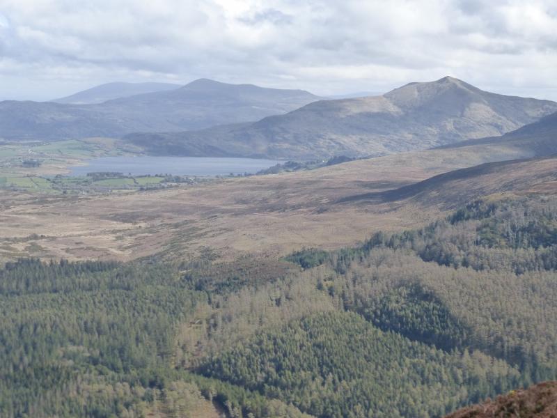
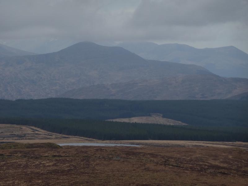
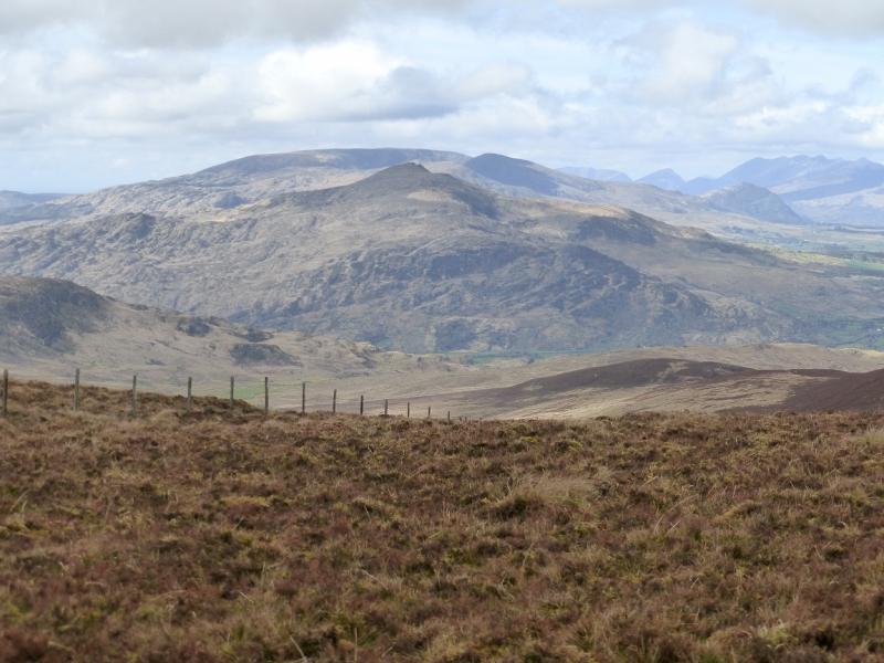
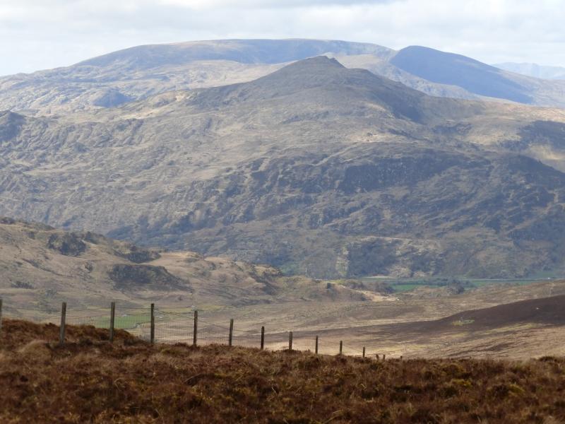
This is a fine single peak which gives good views of the Mangerton Mountain range as well as to the more distant Purple Mountain range and Magillycuddy's Reeks (east). A good track give access to a plateau below the summit from where its is an easy walk, on good ground, to the summit.
Route
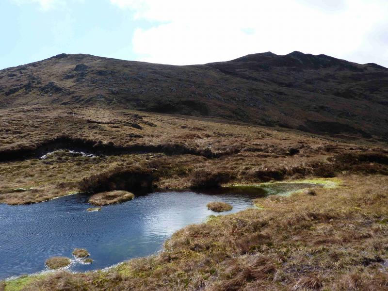
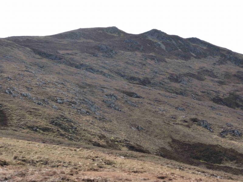
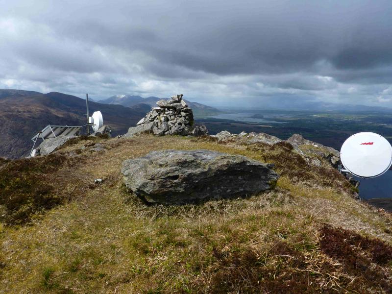
(1) Walk up the tarmac road, ignoring all turnings. Almost at the end of the road, it splits into three. Left goes into a yellow farmhouse, right goes up a new road to a new house. Straight on goes to a barn then through a gate on to a track which is the required route. Follow this track as it meanders up the NW ridge with good views across Loch Guitane to Stoopa and Mangerton Mountain plus longer views to Purple Mountain and Macgillycuddy's reeks. Higher up, the track goes left just before a fence and passes through this fence higher up at a fence T-junction. The track, now quite boggy, continues a short distance further before petering out on a small grassy plateau. From here, shadow the fence until a steeper section is reached. The fence drifts off left so pick a way up the steeper, but easy slopes, to reach the crest which runs SW to NE. Follow the crest SW, on easy ground, to reach the medium cairn (with some human objects around it) which marks the summit of Crohane, 659 m. Note that from the end of the track to the summit there is no obvious path but just the occasional hint of one. However, navigation should not be difficult even in thick weather.
(2) Retrace the outward route. Aiming for the fence is a good idea. In thick weather, a bearing of due N from the summit should intersect with the fence.
Notes
(a) This walk took place on 20th April, 2012.
(b) The Fossa camp and caravan site, at V 910 923 is very good and very well situated for the Killarney mountains, especially Macgillycuddy's Reeks and Purple Mountain as it is only about 3 miles from Kate Kearney's Cottage. At Fossa, there are camping and caravanning facilities as well as a hostel and static trailer vans can also be hired. For campers, there are excellent showers (small extra charge) and there is a good campers’ kitchen with tables, sinks and cooking area if you have your own cooker and pans. Gas rings are available (small extra charge). There is also a TV room. Reception is open quite late in the high season and the staff are very helpful. A computer is available for hire and there is a freezer in reception. There is a bus stop outside the site for Killarney. There is a 24 hour Tesco which is off the northern bypass (turn right at 4th roundabout then right at next). Out of high season, it can be better for 2 people to rent a trailer van than to camp separately.
Photos - Hover over photo for caption. Click on to enlarge. Click on again to reduce.