Get Lost Mountaineering
You are here: Ireland » South West » Killarney to Bantry to Cork
Mangerton Mountain & Stoompa
Mangerton Mountain, N Top, & Stoompa from Gortagullane
Start/Finish
From Killarney, take the N71 road towards Kenmare. At Muckross, look for a left turn signed for Mangerton and follow this minor road, passing a garden centre in 300 m. Continue for about a mile then take the right turn almost opposite Hillcrest and Gallan which is signed Mangerton Self-catering Accommodation. Pass alongside a wood where there is a designated car park (shown on the map) after about 0.6 miles. There is another “unofficial car park” in front of a gate a little further. Further still, there is a tarmac drive on the right with a small parking space at its start. A little further, the road bends to the right with some car parking available here. This is the start of the walking route and there is a sign cautioning walkers here. Park as close to the start of the walk as possible without causing a nuisance.
Distance/Time
16 km Approx 6 hours
Peaks
Mangerton N Top, 782 m, V 984 818 (Irish National Grid System)
Mangerton Mountain, 839 m, V 980 808.
Stoompa, 694 m, W 007 820. Irish OS Discovery Series Maps 78 & 79 (1:50000)
Introduction
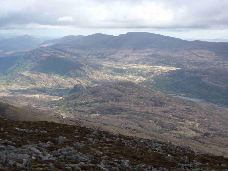
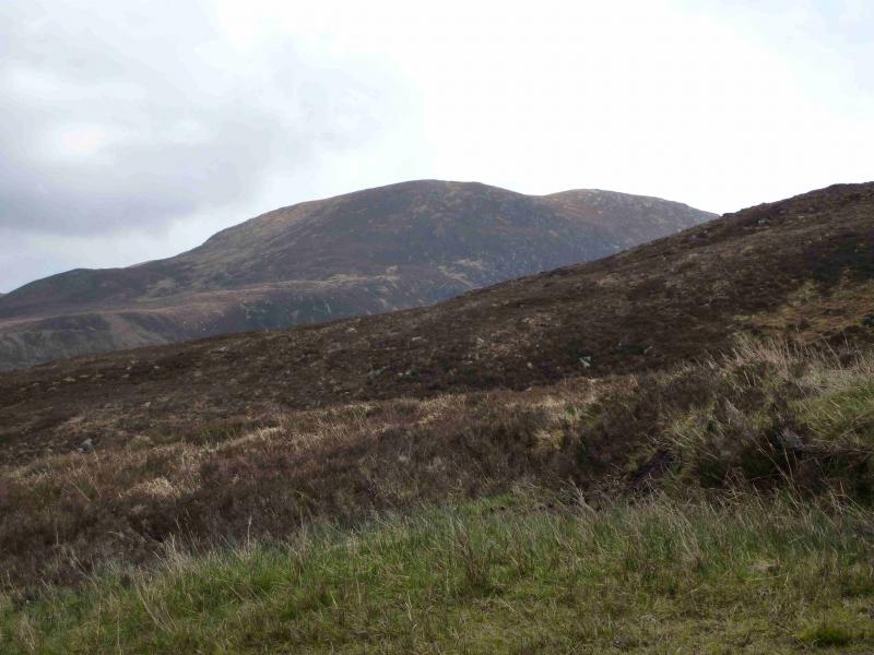
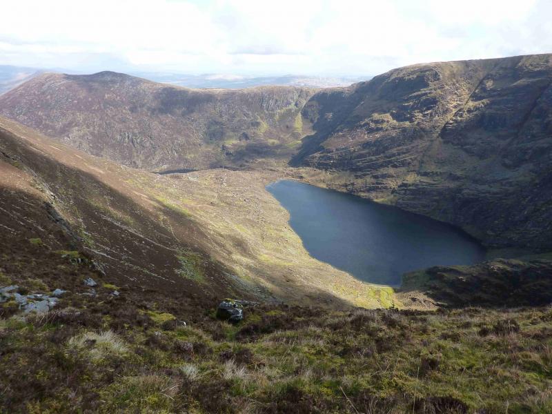
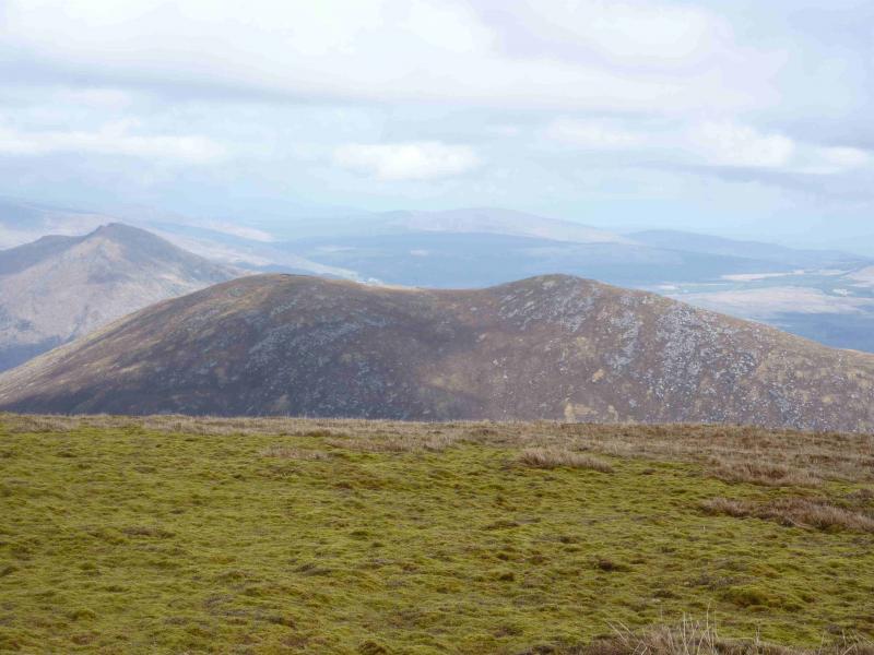
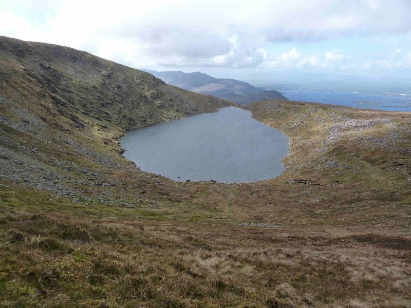
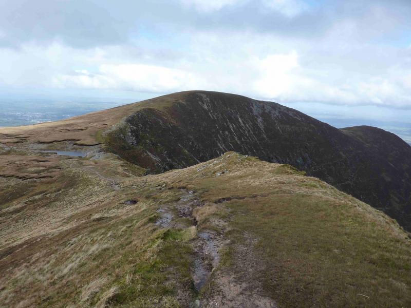
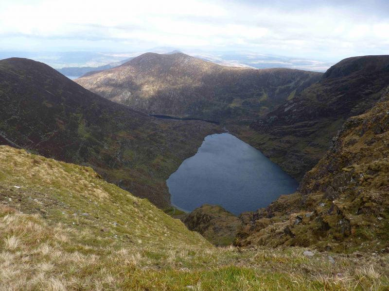
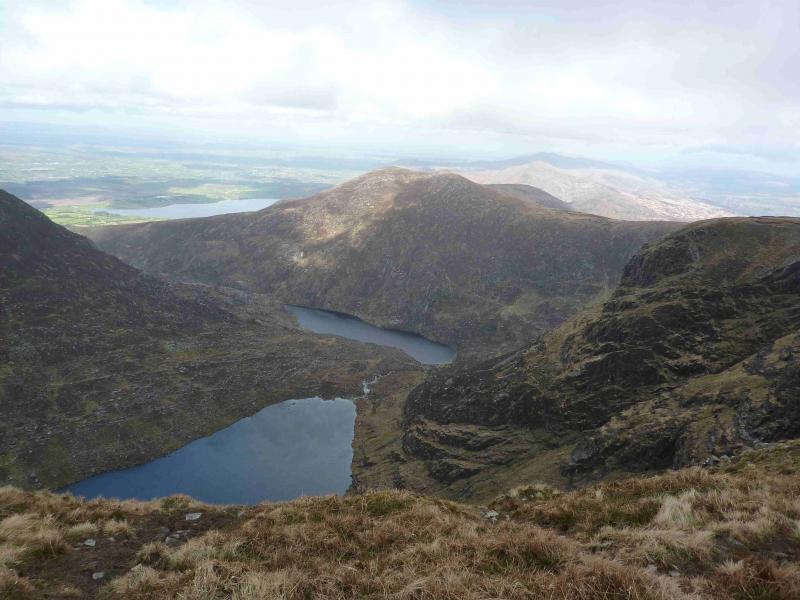
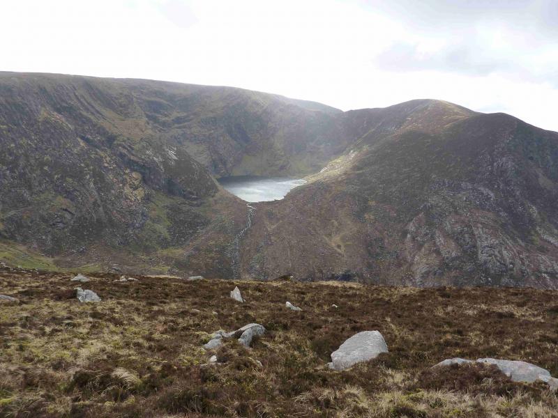
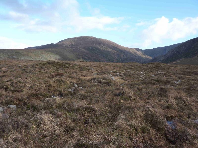
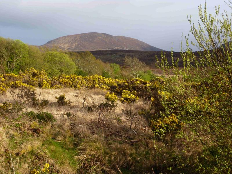
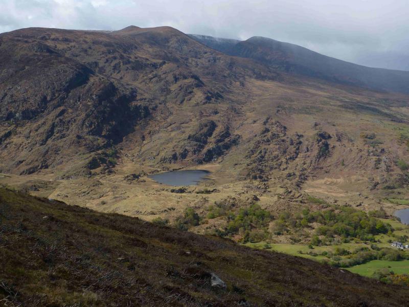
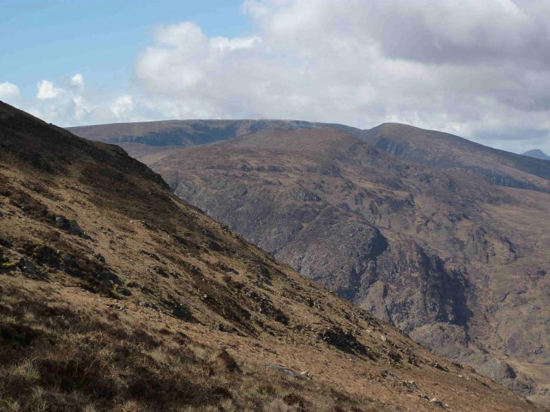
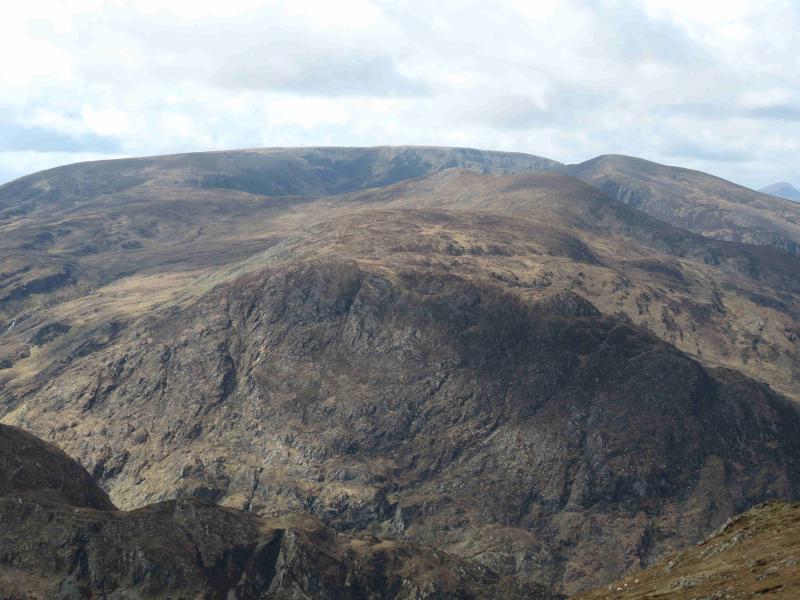
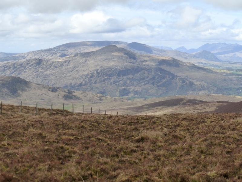
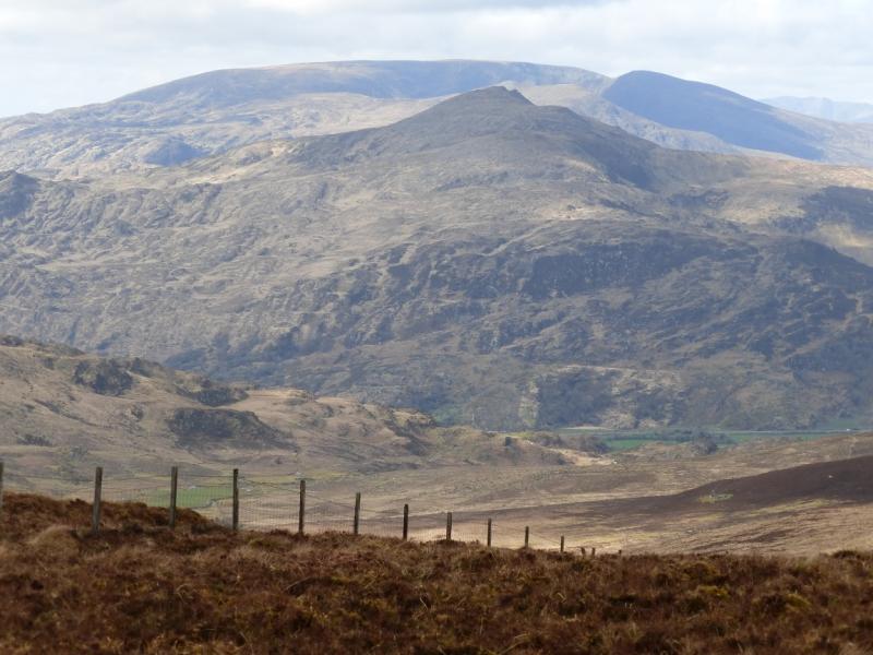
The undoubted highlight of this walk is the view into the steep sided Horses Glen and the walk along the southern and eastern rims. Stoompa is a fine peak with good views back into the Horses Glen. Mangerton N Top is a good viewpoint for the Purple Mountain range, the eastern end of Macgillycuddy's Reeks and the Killarney Lakes. Mangerton Mountain is a soggy plateau with restricted views because of its topography. The route back from Loch Garragarry crosses pathless soggy, boggy mossy and heathery terrain and gaiters are essential even in a drought!
Route
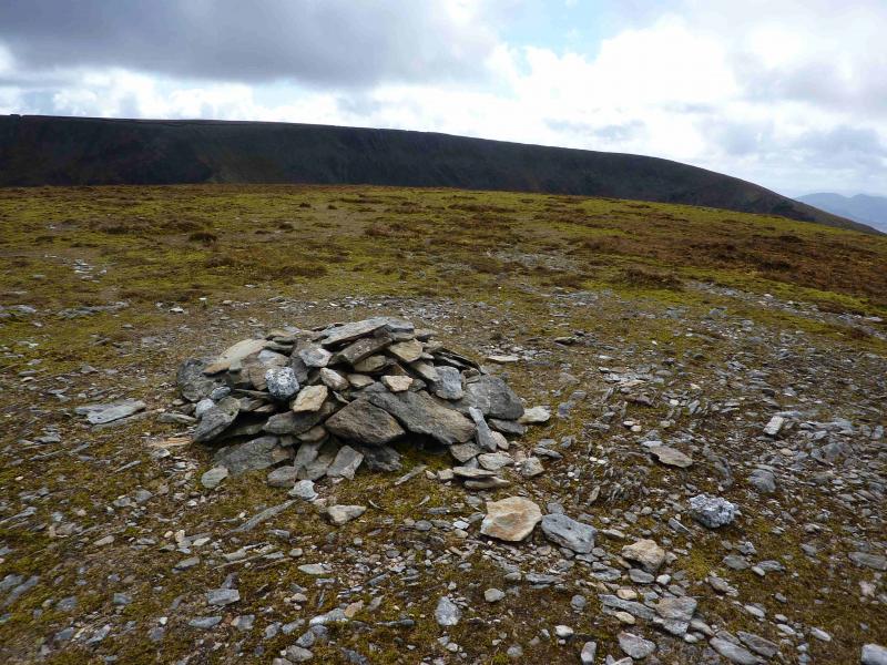
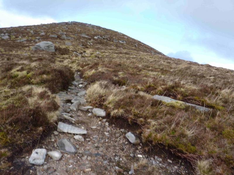
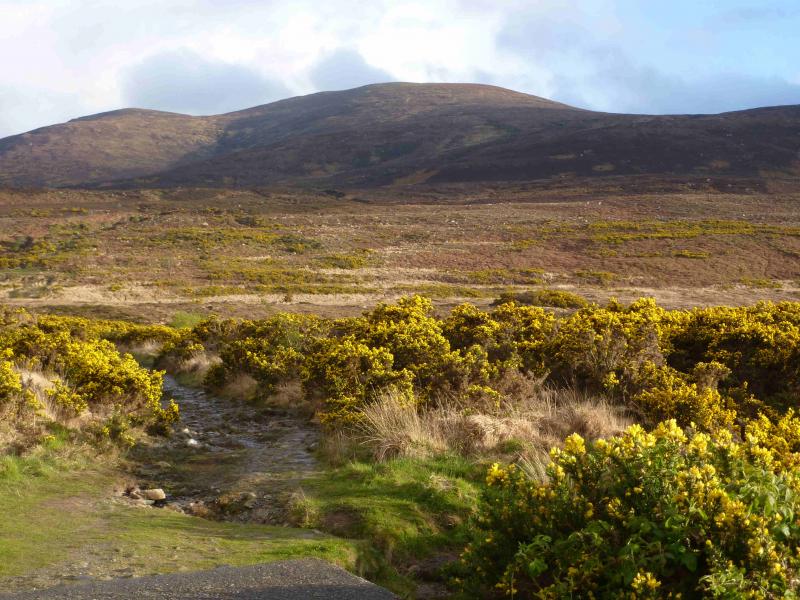
(1) From the start described above, walk up the track. Immediately, a stream is crossed on a concrete slab. Continue, S, on the obvious path which is boggy in places. The path shadows a stream for about 1.5 km then starts to drift SW with a short flatter section before returning to a more southerly direction. This section is extremely boggy in places. In clear weather, the ridge on the W side of the Devil's Punch Bowl (a mountain tarn) should be clearly visible. The path soon reaches the outflow of the tarn. Stay on its east side where there is a faint path and follow it up to the col on the ridge between Mangerton Mountain and its N Top. The view from this ridge into the Horses Glen to Lough Erhogh and Lough Managh can only be described as sensational. Turn left, N, up the ridge which is a gentle ascent, with a faint path, to reach a grassy plateau with a small cairn which marks the summit of Mangerton N Top, 782 m.
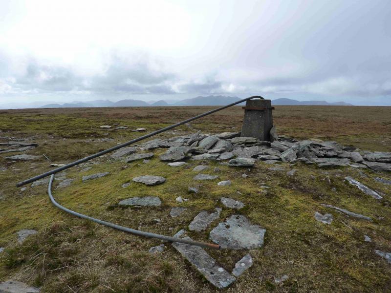
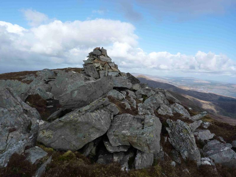
(2) Retrace down the ridge back to the col then ascend up the other side where the ridge is steeper and narrower to reach a cairn at its top at the intersection with the rim path. Go straight on here through an easy peaty area then over soggy grass to reach drier ground where there is a trig point with a collection of stones (not a cairn) around it which marks the summit of Mangerton Mountain, 839 m. On 19/4/12, there was a long pipe sloping diagonally from the trig point. There are no other cairns on the summit plateau.
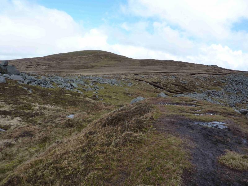
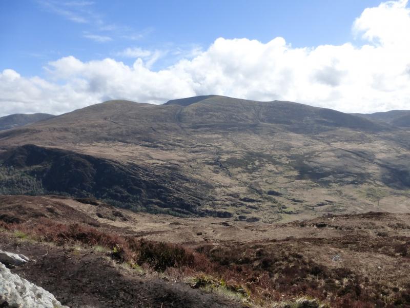
(3) Retrace to the cairn on the rim path. Turn right, E, and follow the path around the southern rim of the Horses Glen. The path is faint in places but navigation is simple, just keep the steep sided Horses Glen on the left. After a gradual descent of about 200 m, a shallow dip is reached and the path turns N, keeping to the left to avoid the peat hags to the E. Ascend gentle slopes to reach a medium sized cairn which marks the summit of Stoompa, 694 m.
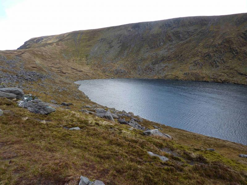
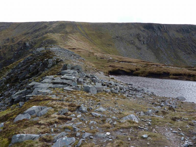
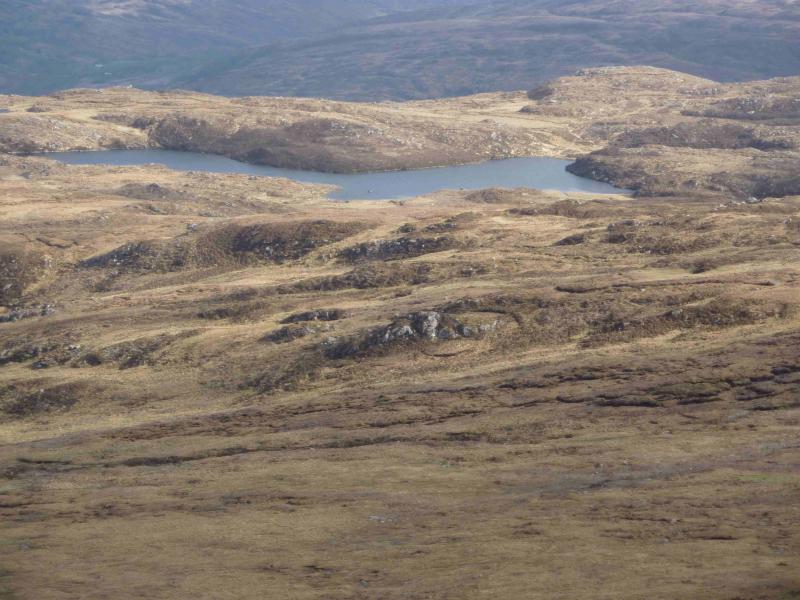
(4) What seems to be a good path, passes just to the W of the summit. Follow this. The path is faint in places but try not to lose it as the alternative is deep and rough heather. The general direction is NNW down easy slopes towards the head of Loch Garragarry. Lower down, there is a more gentle ridge running above the E side of Loch Garragarry with the path on its crest clearly visible from above. Continue on the path which becomes faint as one reaches the end of the Loch so descend down to the outflow of the Loch which has to be crossed and there is no bridge! The easiest place seems to be nearest the outflow from the loch where there are many slabs and large rocks which serve as good stepping stones. Crossing the river is easy compared to what follows. Head W across pathless, soggy, boggy, mossy and heathery terrain. Progress will be slow and many little detours will be necessary. Eventually, reach the outward track and follow it back to the start.
Notes
(a) This walk took place on 19th April, 2012.
(b) To miss out Mangerton N Top, go up the obvious path on the W side of the Devil's Punch Bowl. This will save about 40 minutes.
(c) The Fossa camp and caravan site, at V 910 923 is very good and very well situated for the Killarney mountains, especially Macgillycuddy's Reeks and Purple Mountain as it is only about 3 miles from Kate Kearney's Cottage. At Fossa, there are camping and caravanning facilities as well as a hostel and static trailer vans can also be hired. For campers, there are excellent showers (small extra charge) and there is a good campers’ kitchen with tables, sinks and cooking area if you have your own cooker and pans. Gas rings are available (small extra charge). There is also a TV room. Reception is open quite late in the high season and the staff are very helpful. A computer is available for hire and there is a freezer in reception. There is a bus stop outside the site for Killarney. There is a 24 hour Tesco which is off the northern bypass (turn right at 4th roundabout then right at next). Out of high season, it can be better for 2 people to rent a trailer van than to camp separately.
Photos - Hover over photo for caption. Click on to enlarge. Click on again to reduce.