Get Lost Mountaineering
You are here: Scotland » 17 Islands » Muck
N & W coast of Muck & Beinn Airein
N & W coast of Muck & Beinn Airein
Start/Finish
Muck is reached by Calmac ferry from Mallaig or smaller ferry from Arisaig.
Distance/Time
8 km. About 2.5 hours.
Peaks
Beinn Airein, 137 m, NM 402 791. OS sheet 39:Rum & Eigg
Introduction
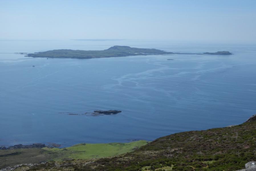
Muck is a low lying island but with an interesting rocky coastline. The ferry from Arisaig is the MV Shearwater. At busy times, it is essential to book in advance on 01687 450224. In 2019, the return fare was £20 for an adult. It is difficult to walk all around the coastline of Muck on a day trip as one is limited to 2 – 3 hours ashore. A road goes across the island which allows the coastline to be divided up into smaller sections. The cafe and craft shop is excellent. There are lots of paths but also a few cliffs so care is needed in places especially near rocky inlets. There are great views to Eigg and Rum. Whales are not uncommon at sea.Calmac also call at Muck but with shorter stopover time although the fare is about £10 for a day return. This particular route may involve crossing some fences or walls.
Route
(1) Whichever boat you arrive on, turn left and start walking along the track with the sea on your left. This track becomes a road and passes the old small jetty, the white Pier House, the bunkhouse and the lovely little cafe before gently climbing to cross the island. Follow the road for nearly 3 km reaching the N coast and then the farm buildings at Gallanach at the end of the road. A path continues above the shoreline and soon reaches the last cottage. Go left just before the cottage and follow a path up to a fence. Go right and squeeze between the end of the fence and a wall. You are now on the Aird nan Uan grassy peninsula which leads to Horse Island (only accessible at the lowest of tides). Cross the peninsula and head for a small cottage in the distance. Reach this but it is locked up. Just before the cottage a path ascends so follow this then go right when it splits higher up so you are following the coastline but well above it. Soon some cliffs are on your left and the path becomes a track. Follow the cliffs which soon turn inland and walk up a very shallow grassy glen where the path is on the right and wet ground is on the left. When the wet ground runs out ascend left up to the ridge. Turn right and follow a wall up the rocky but easy ridge. When the path seems to run out, gain the crest and continue ahead to the round trig point which is the summit of Beinn Airein, 137 m.
(2) There are cliffs to the E so descend NE and pass the head of Camas Mor bay. An undulating stone wall should be seen going some distance so aim for this and follow it until it runs out then continue to join the road and follow it back to the start.
Notes
(a) This walk took place on 29th May, 2019.
Photos - Hover over photo for caption. Click on to enlarge. Click on again to reduce.