Get Lost Mountaineering
You are here: England » Nottinghamshire
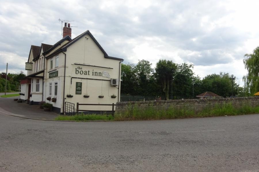
Hayton, Clayworth & Chesterfield Canal from the Boat Inn at Hayton
Hayton, Clayworth & Chesterfield Canal from the Boat Inn at Hayton
Start/Finish
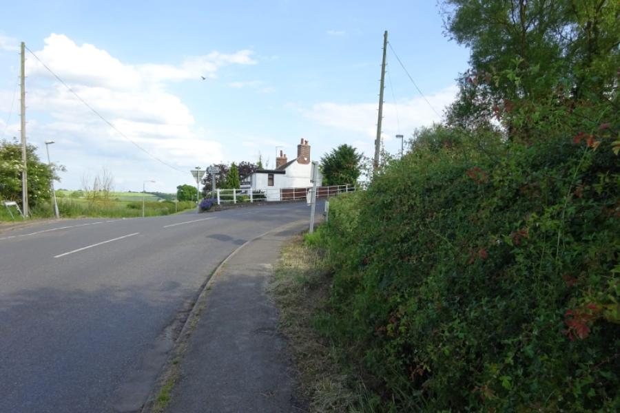
North end of Hayton Village neat the Boat Hill which is next to the bridge (Townend Bridge) over the Chesterfield Canal. It is sometimes possible to go straight on at the Boat Inn (Burntleys Road) and park on a verge. Otherwise park in the village. Hayton is about a mile north of Clarborough which is on the road from Gainsborough to Retford.
Distance/Time
11 km About 3 hours
Peaks
No obvious peaks as such but the highest point is at about 68 m.
OS Explorer271: Newark-on-Trent
Introduction
No one would claim that any part of Nottinghamshire is mountainous but walks on its gentle rolling hills are enjoyed by many so here is one which is very gentle and has a pub at start and finish and one just after halfway.
Route
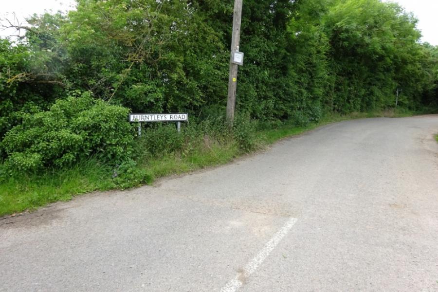
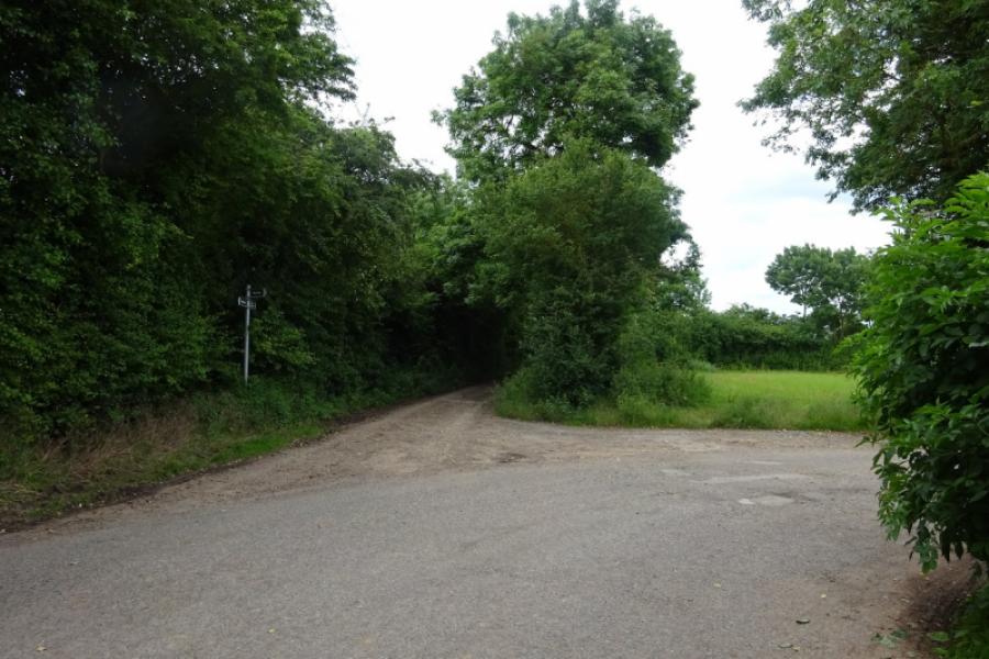
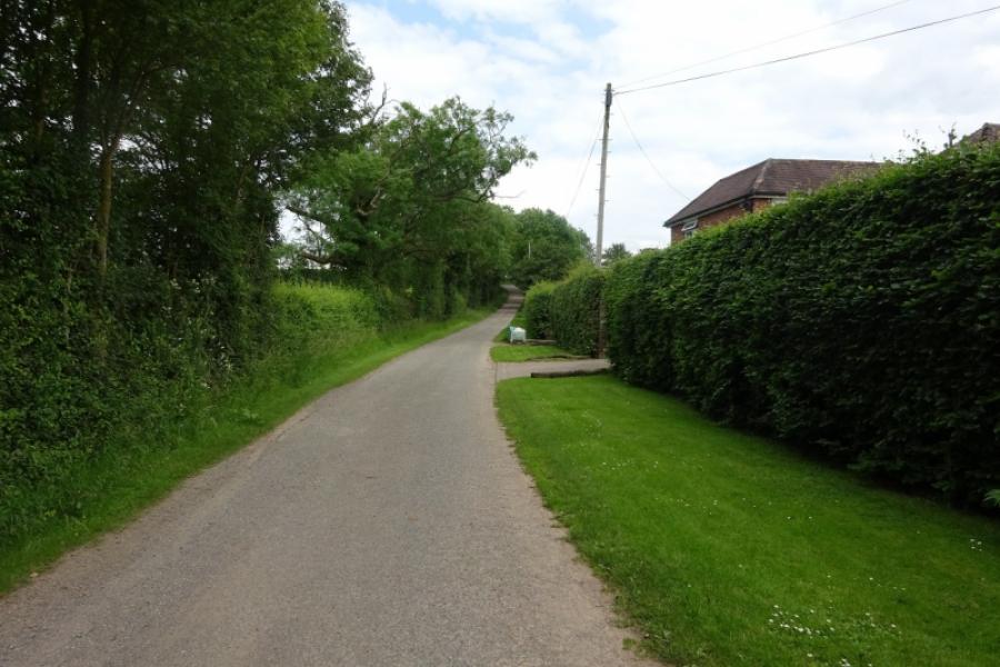
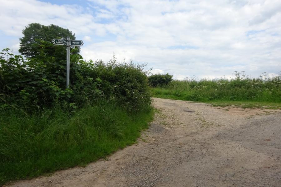
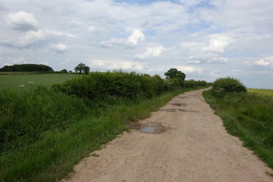
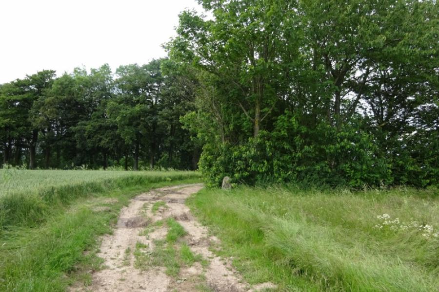
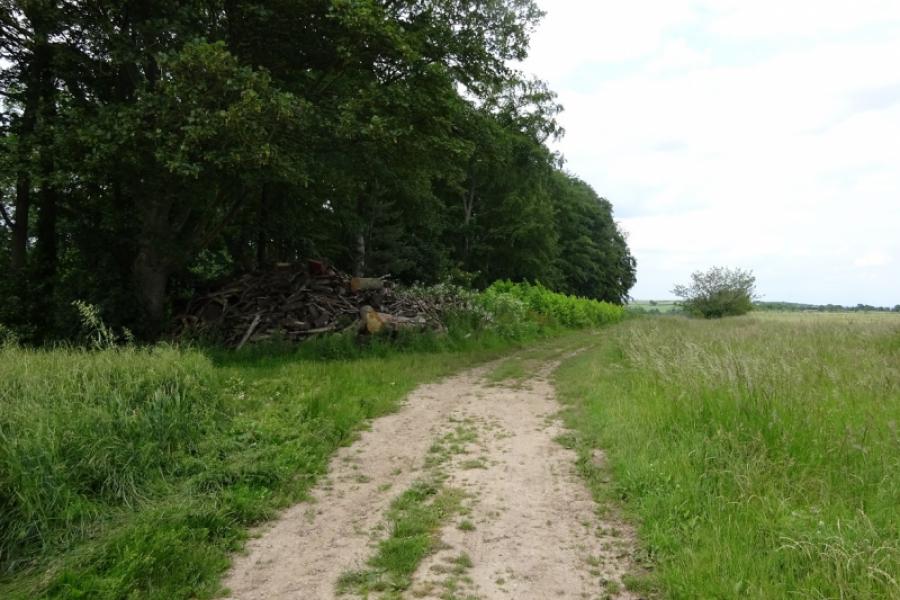
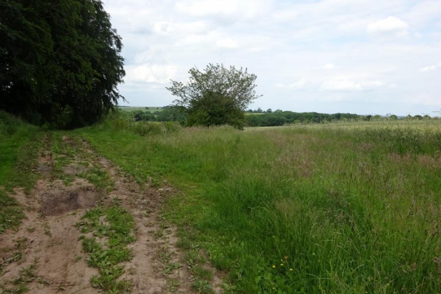
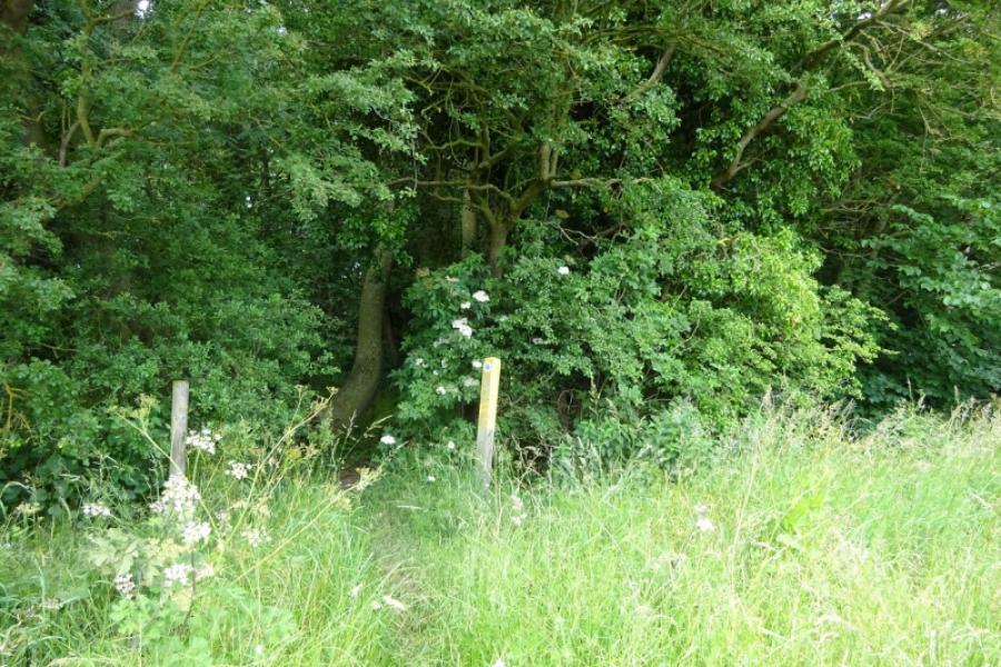
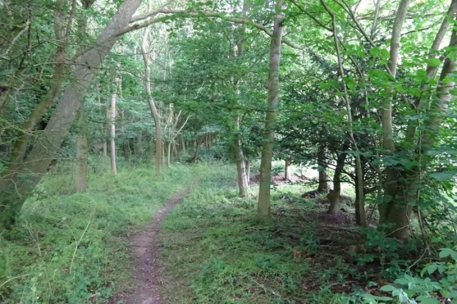
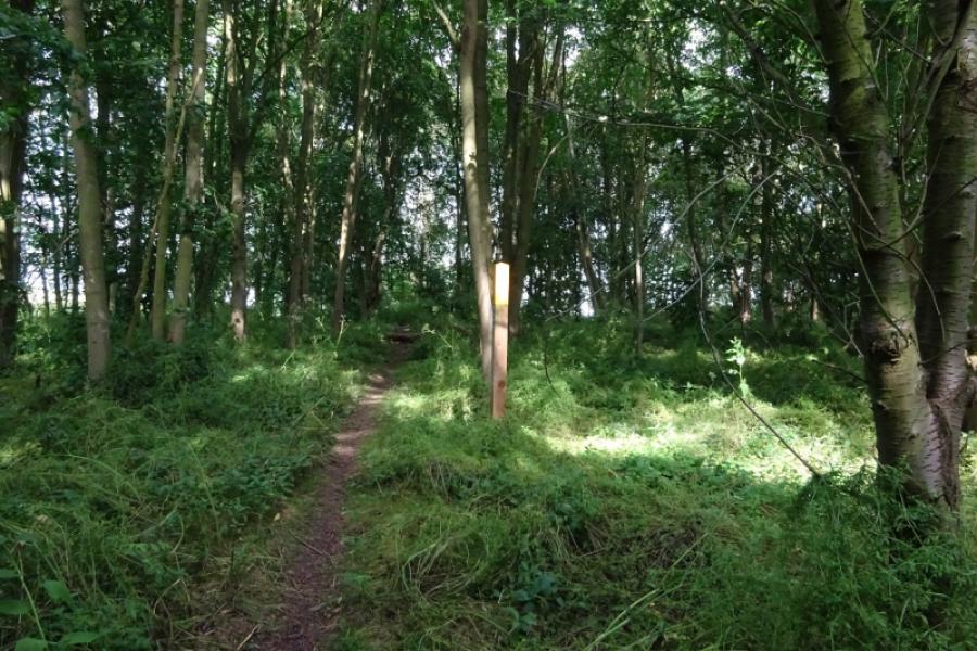
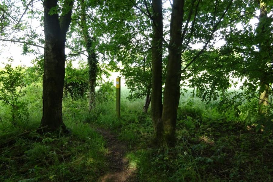
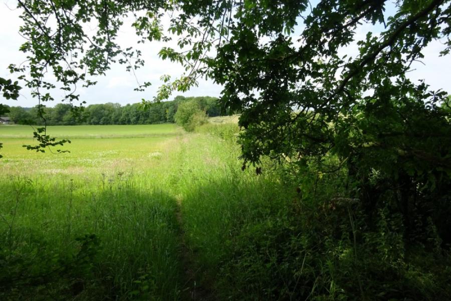
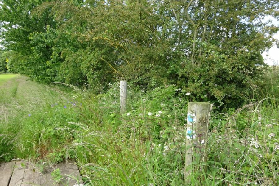
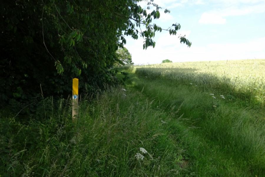
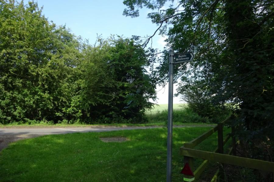
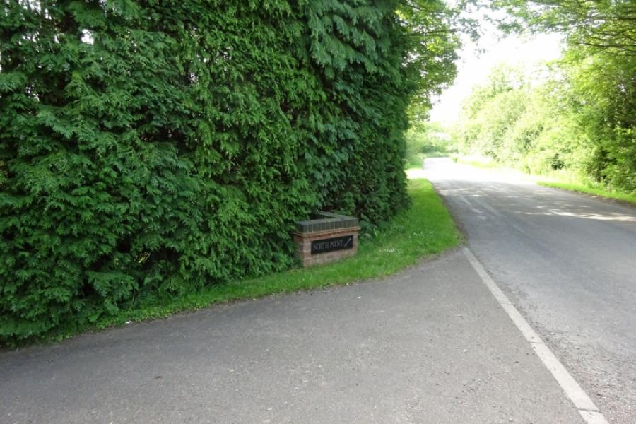
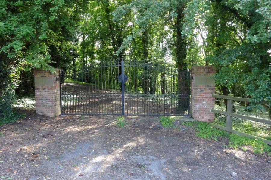
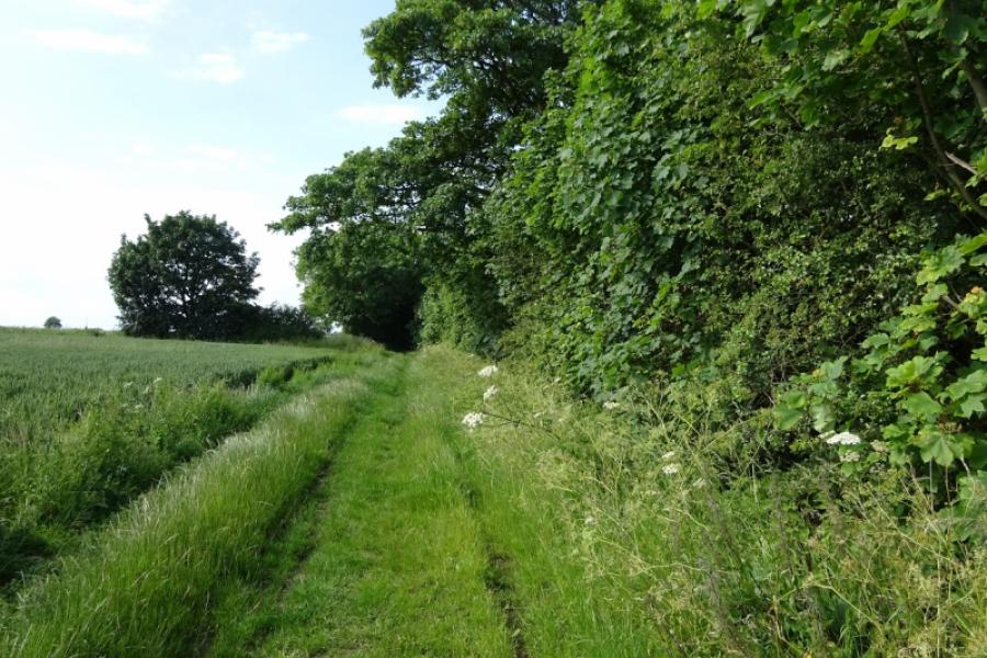
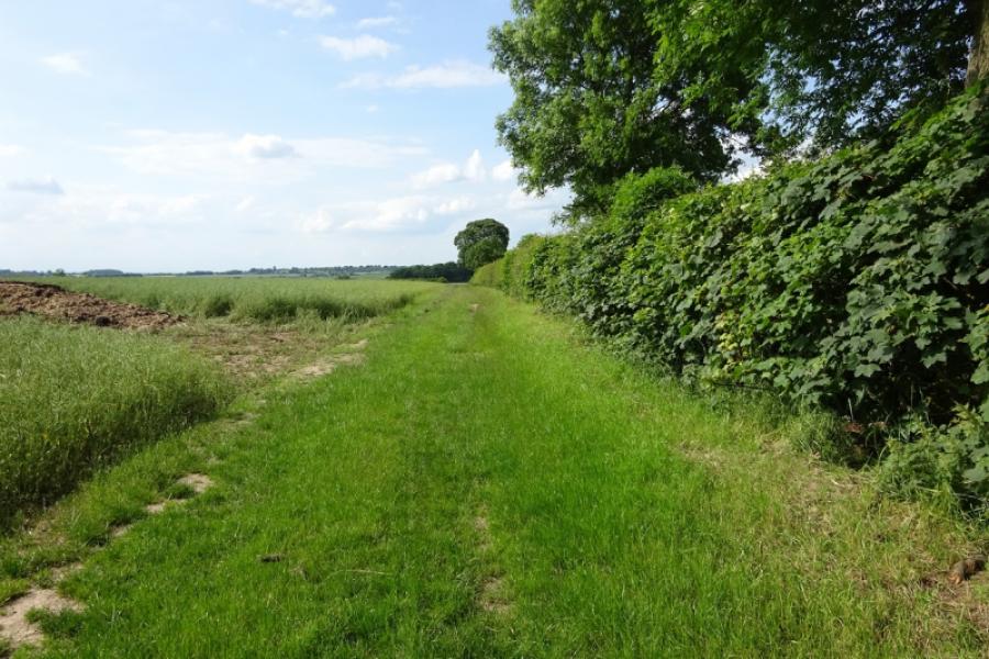
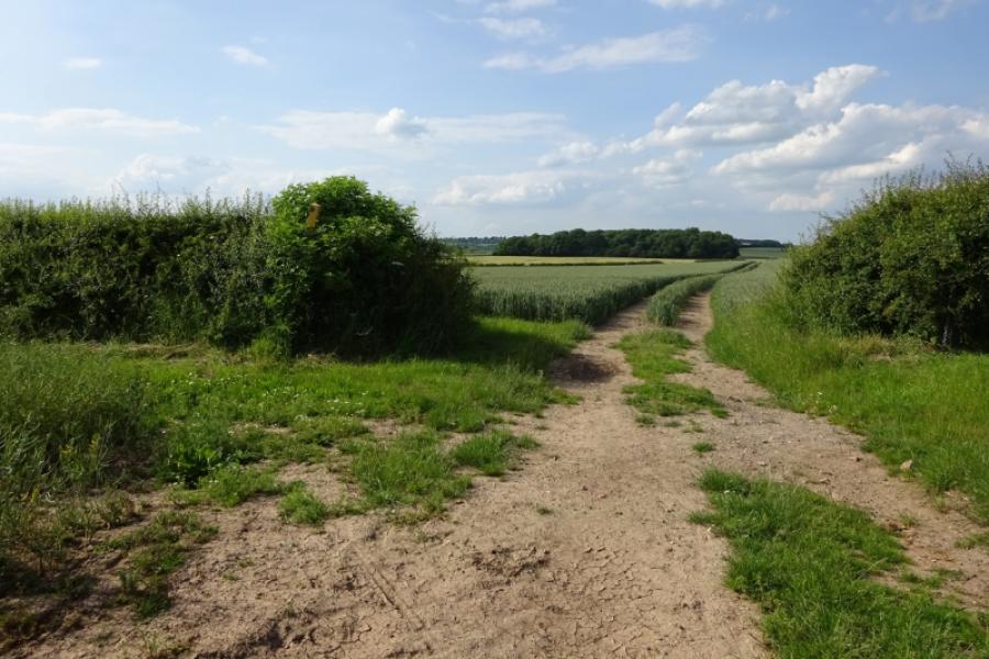
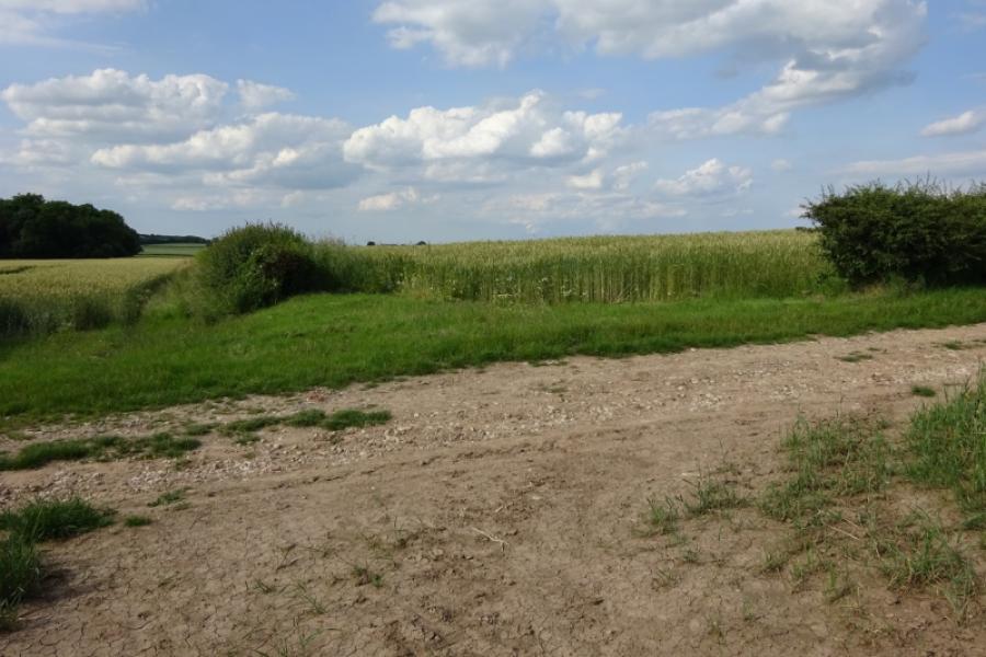
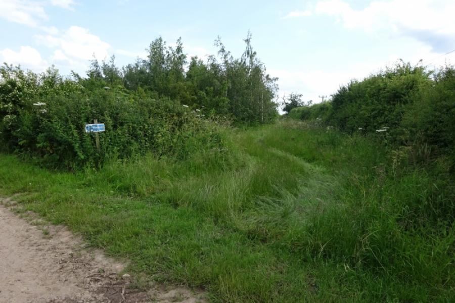
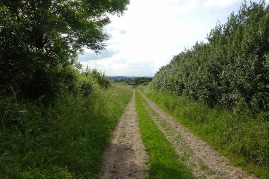
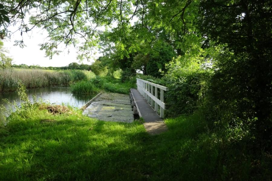
(1) From the Boat Inn, go straight on (not crossing the canal) into Burntleys Road). Follow this round a right hand bend and slightly uphill. At a junction, go straight across (slightly staggered) and follow a track (Hollinhill Lane) which reaches a T junction in just under a km. Turn left, N, and follow the track towards an obvious wood. A trig point, 68 m, is shown on the path but there now seems to be no trace of it although there is a stone marker post in a similar position. The track bends right at the wood. Soon after look for a not very obvious path, often overgrown, forking off right. If you miss, you soon reach a Private sign on the track. Follow the path, with a hedge on your left downhill to where it enters a wood (Ash Holt). Follow the path through the wood then down the right hand edge of a field with Hayton Castle Farm well over to the right. At a wood, go right to get on to the E side of the wood and follow the path to t North Point where the path meets the road from North Wheatley to Clayworth.
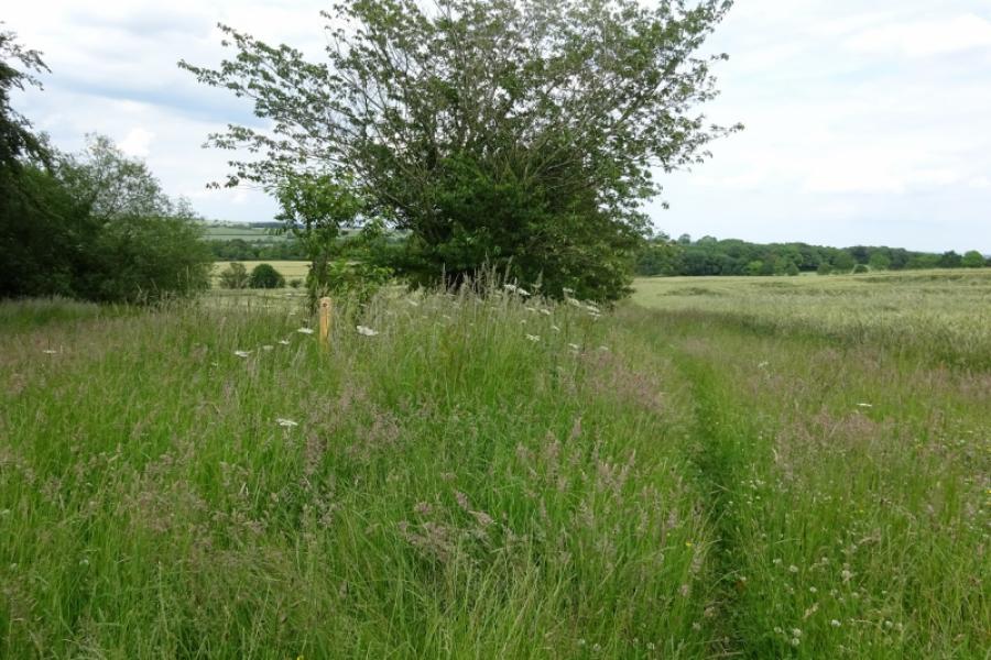
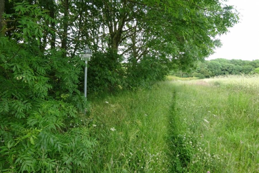
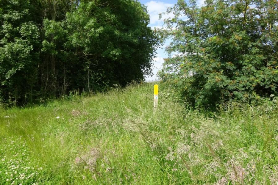
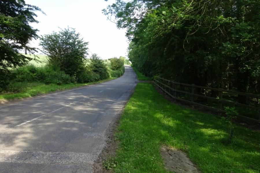
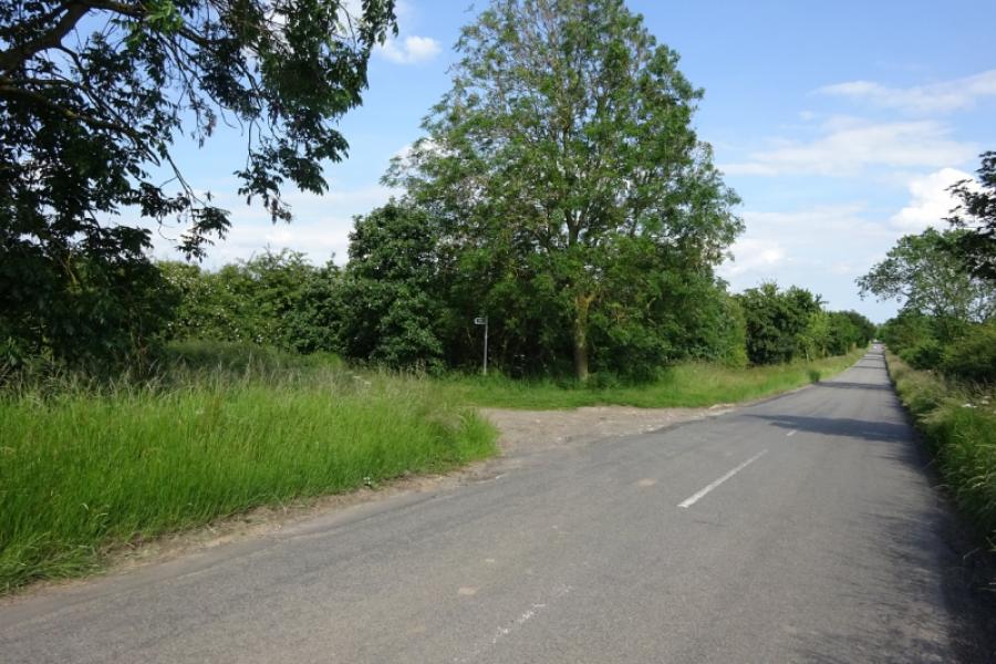
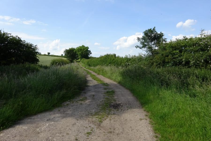
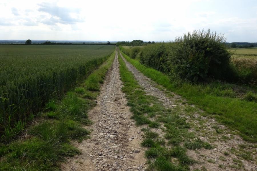
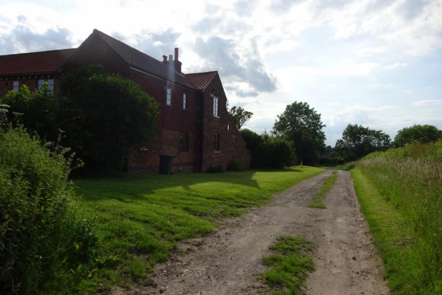
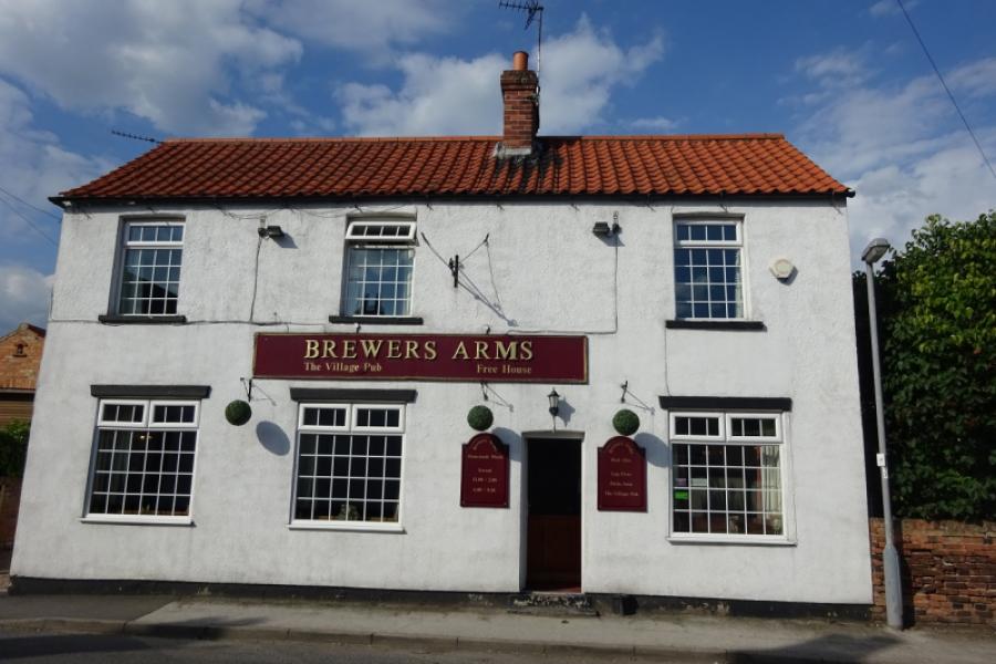
(2) Turn right, SE, onto the road and follow it for about 800 m, over Haughgate Hill. After a downhill section, there is a track on the left (Northfield Leys Road). Follow the track. Later on it becomes a path by a row of trees. After about 1.5 km, a not very obvious sign directs one left down the side of a field. At the bottom of the field, turn right and follow a path (can be overgrown) to join a prominent track heading W (Mill Lane). Alternatively, don't take the path but continue ahead on a track to reach Mill Lane nearer to Wheatley Grange then turn left. Follow Mill Lane past Mill House into Clayworth. If wishing to visit the Brewers Arm Pub, turn right on the main road for a few hundred metres. If not, turn left.
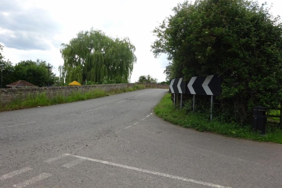
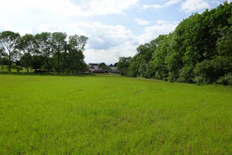
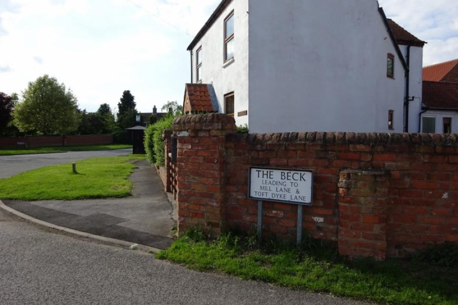
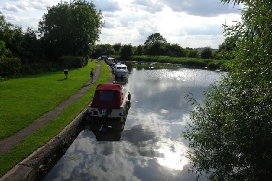
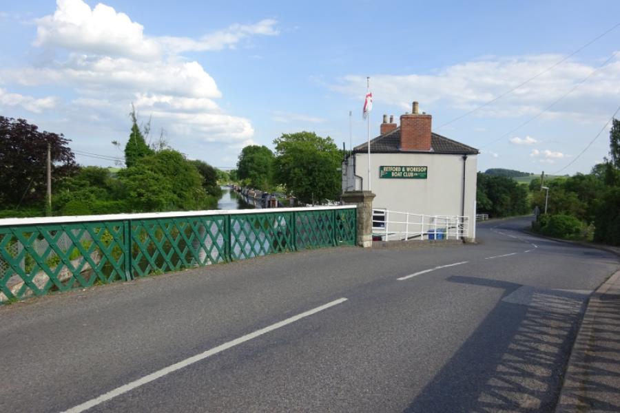
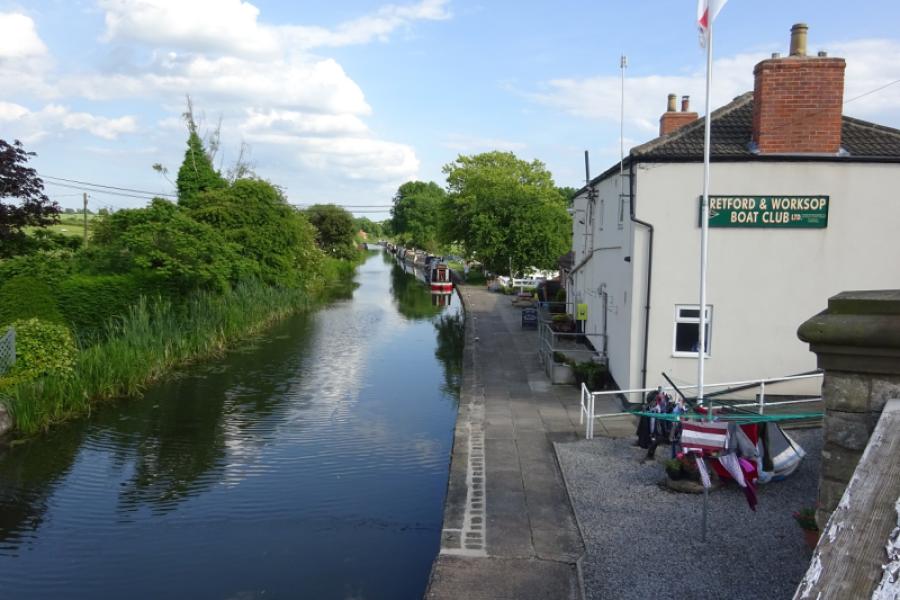
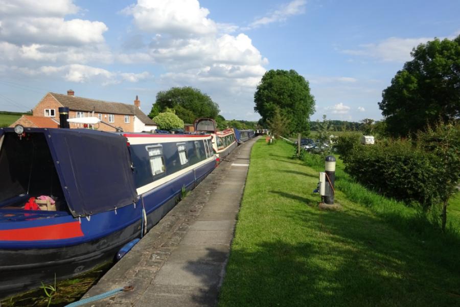
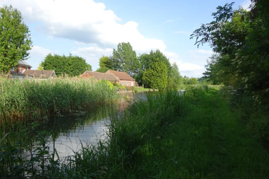
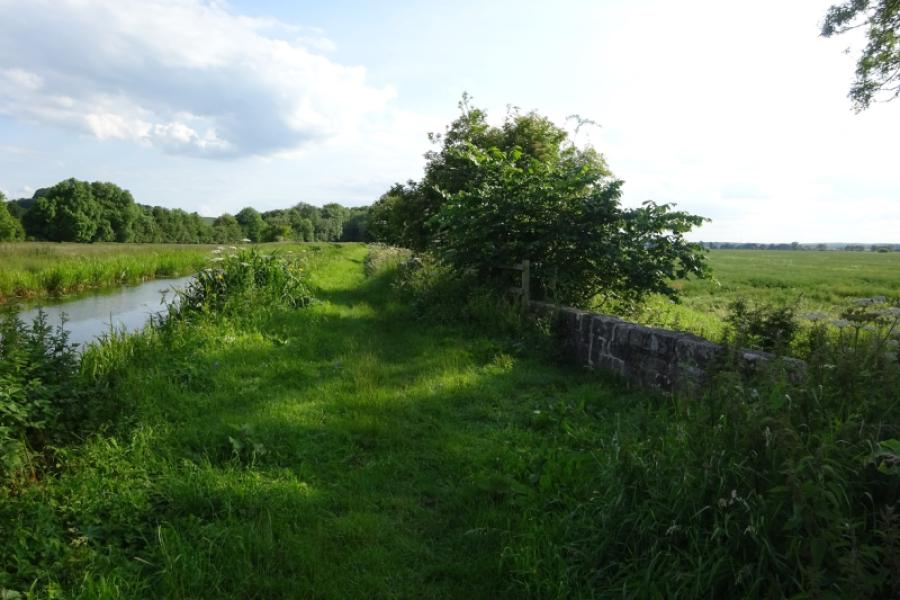
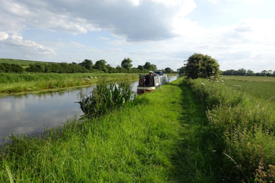
(3) Follow the road SE through Clayworth village to reach the bridge over the Chesterfield Canal. Descend to the Retford & Worksop Boat Club and walk past the building then continue by the side of the canal. Initially SE with the canal on your left. The towpath runs out after the last boat so continue on the grassy verge to reach Townend Bridge opposite the Boat Inn and the start of the walk.
Notes
(a) This walk took place on 20th June, 2019.
Photos - Hover over photo for caption. Click on to enlarge. Click on again to reduce.