Get Lost Mountaineering
You are here: Ireland » South West » Killarney to Mallow to Cork
Musheramore
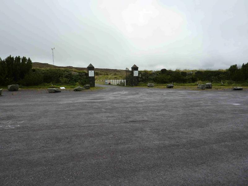
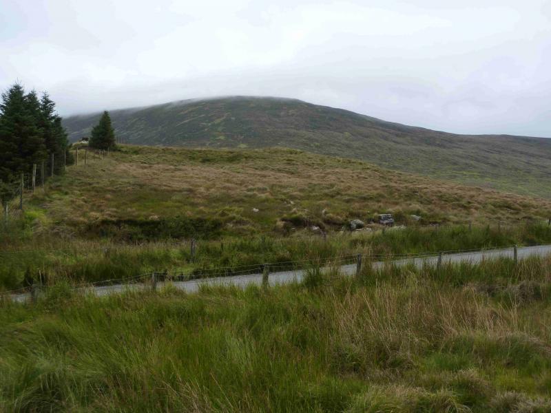
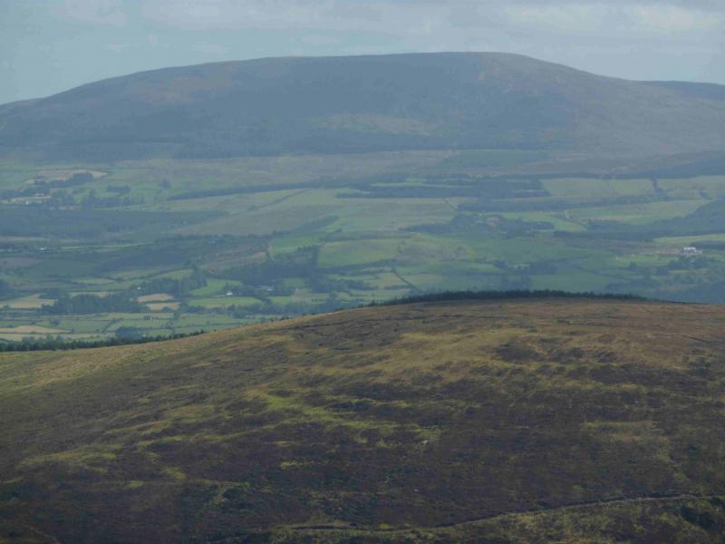
Musheramore from near Millstreet County Park
Start/Finish
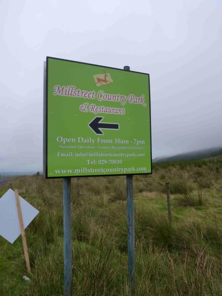
From Killarney, take the N72 (usually signposted for Mallow) and follow it to Rathmore where a right fork is taken for Millstreet. Drive through the centre of Millstreet and descend downhill to a left bend, just before which is a prominent sign for Millstreet County Park, St. John's Well and Knocknakilla Stone Circle. Following any of these takes one to the start. Follow the road, with much up and down, for about 3 miles to a crossroads where the above are signed as a right turn. Drive along the more minor road, past St. John's Well, then to the wide entrance area (on the right) for Millstreet Country Park. Park here as the ascent starts opposite. To visit Knocknakilla Stone Circle, drive on and take the first right for about 1.3 miles where the stone circle is signed. It is about 50 m from the road. One can continue on the road back to Millstreet although the route is a little intricate and theOS map will be required.
Distance/Time
2 km About 1.5 hours
Peaks
Musheramore, 644 m, W 328 850. (Irish National Grid System)
Irish OS Discovery Series Map 79 (1:50000)
Introduction
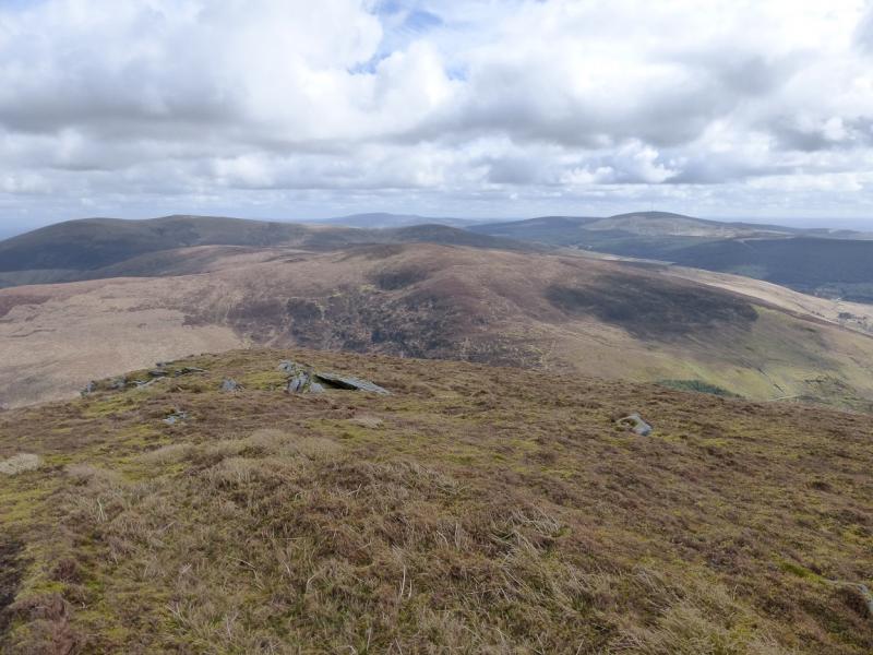
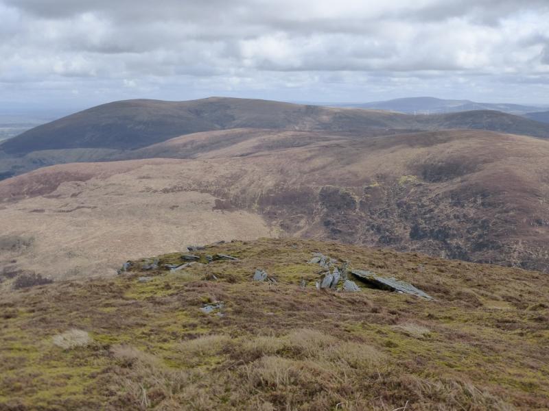
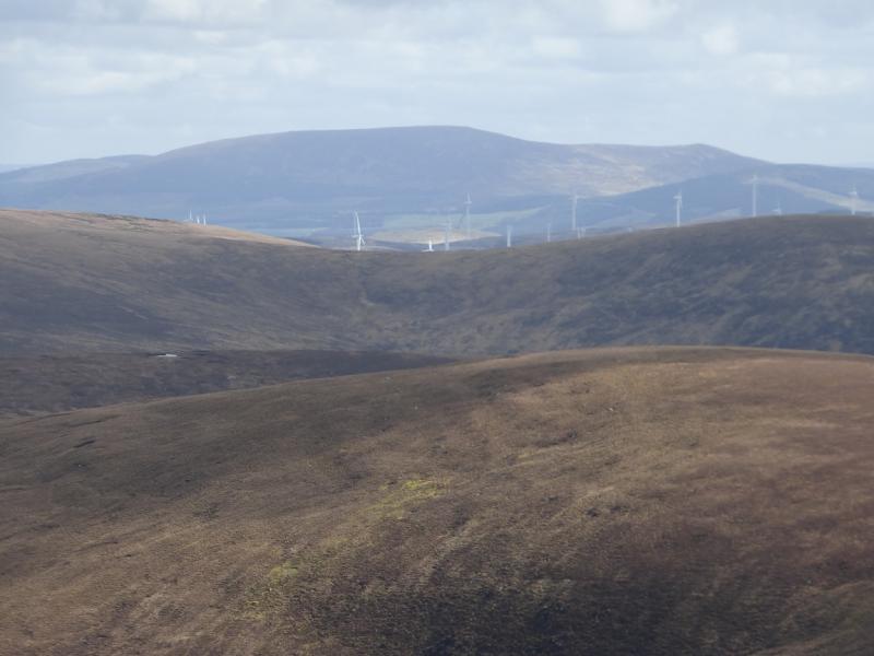
Musheramore is a solitary moorland peak which is easily ascended. It offers good views of the surrounding country side. There is a path all the way to the summit with fence posts most of the way. The path is very wet, mossy and boggy in the first 150 m then fairly pleasant.
Route
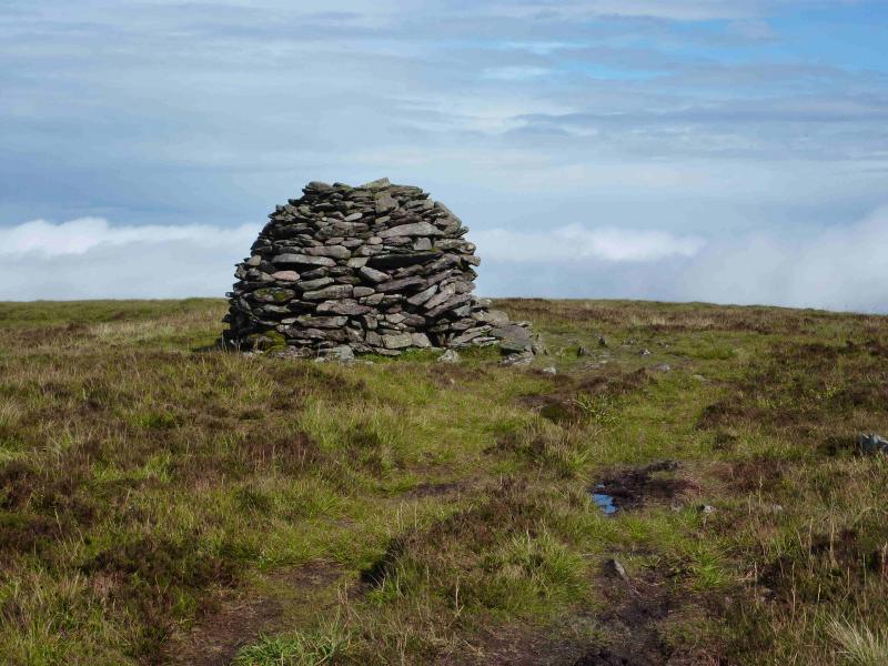
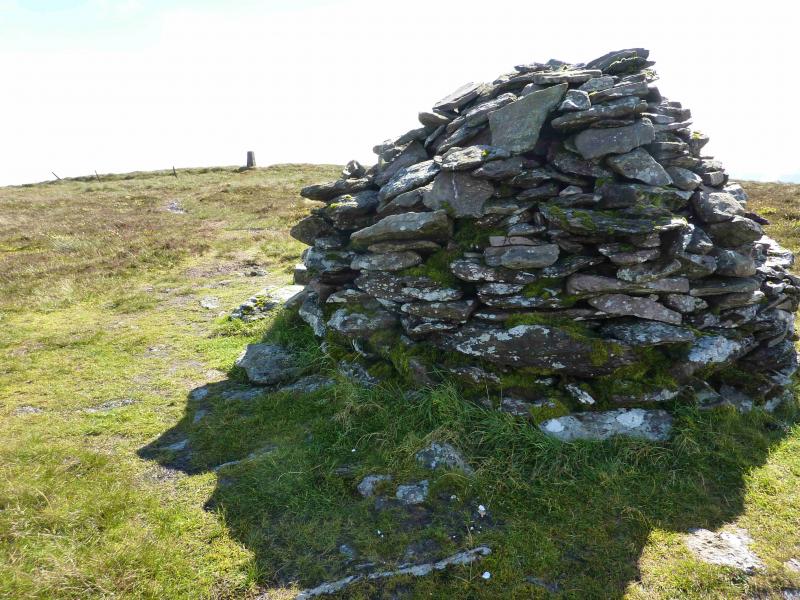
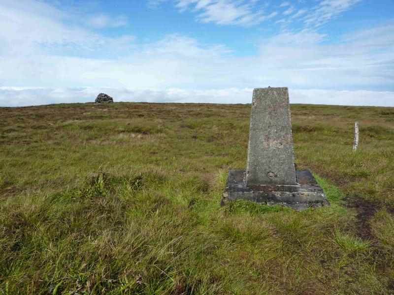
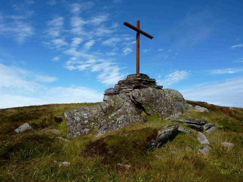
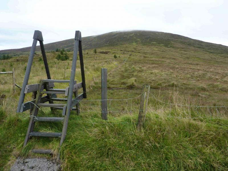
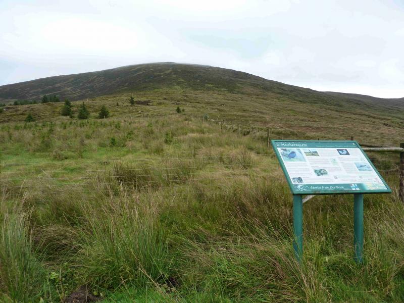
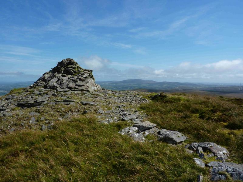
(1) Climb over the stile opposite the parking area and follow the path for about 50 m to the next stile. Do not cross this stile. The route is directly ahead following the line of fence posts. However, the next 100 m is very wet, mossy and boggy so go right for about 20 m to find a better, but not good, path and follow it up before converging with the line of fence posts. Continue up to reach the summit area. The path leads to the obvious large cairn. From there, a path goes roughly S to the trig point which marks the summit of Musheramore, 644 m. A little further, and lower down, is a metal cross.
(2) Return by the route of ascent remembering the detour around the boggy section near the start.
Notes
(a) This walk took place on 10th September, 2012.
(b) The Fossa camp and caravan site, at V 910 923 is very good and very well situated for the Killarney mountains, especially Macgillycuddy's Reeks and Purple Mountain as it is only about 3 miles from Kate Kearney's Cottage. At Fossa, there are camping and caravanning facilities as well as a hostel and static trailer vans can also be hired. For campers, there are excellent showers (small extra charge) and there is a good campers’ kitchen with tables, sinks and cooking area if you have your own cooker and pans. Gas rings are available (small extra charge). There is also a TV room. Reception is open quite late in the high season and the staff are very helpful. A computer is available for hire and there is a freezer in reception. There is a bus stop outside the site for Killarney. There is a 24 hour Tesco which is off the northern bypass (turn right at 4th roundabout then right at next). Out of high season, it can be better for 2 people to rent a trailer van than to camp separately.
Photos - Hover over photo for caption. Click on to enlarge. Click on again to reduce.