Get Lost Mountaineering
You are here: England » Northumberland
Chew Green to Windy Gyle via Pennine Way returning via Coquet Valley
Chew Green to Windy Gyle via Pennine Way returning via Coquet Valley
Start/Finish
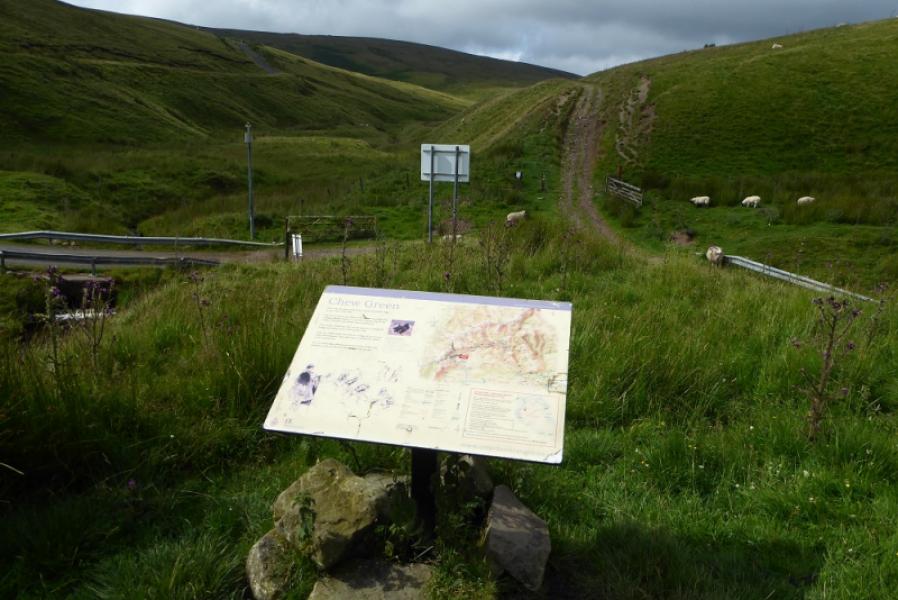
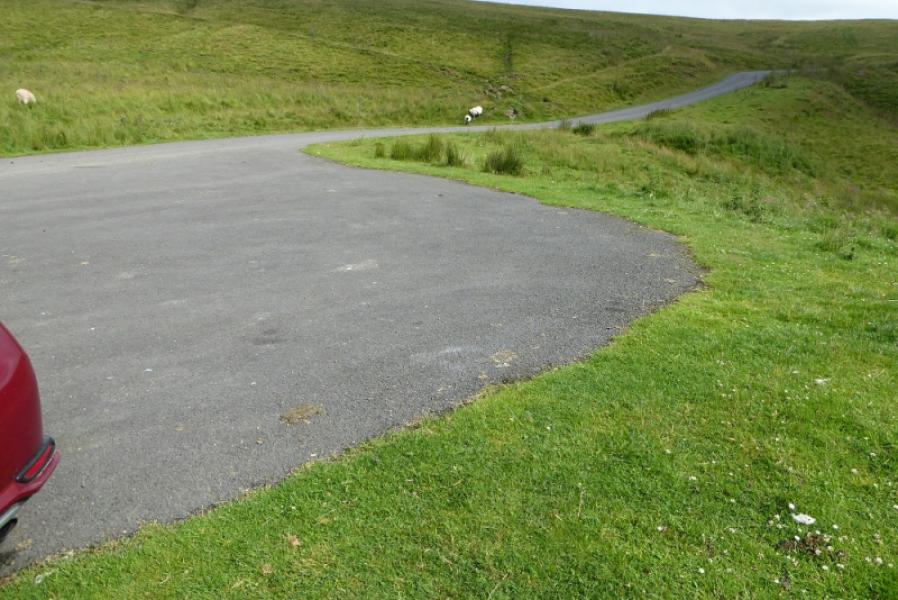
Small parking area/turning circle at NT 794 084 to the east of Chew Green. This is at the “end” of the road up the Coquet Valley which passes through Alwinton, Barrowburn and Blindburn. The road is public until about 800 m before the parking area where just before a steep climb and after what seems to be a deserted farmhouse and barn, there is a notice saying the military may close the road at times if firing is going on nearby as you are on the edge of the Otterburn Military Firing Range. This short section of road is unlikely to be closed at weekends. If no firing is taking place, this road continues past the turning circle and can be followed down to the A68 road about a mile to the south east of Byrness. Those approaching from the west could reach the start this way if the road is open. This particular route walks back along the Coquet valley road from near Barrowburn which is just over 5 miles from the start. Two cars would obviously help here or even placing a bicycle at the foot of the Trows track.
Distance/Time
24 km (including 8 km back along road) About 8 hours
Peaks
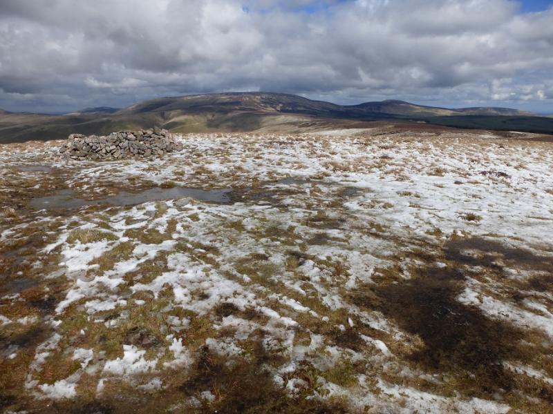
Lamb Hill, 511 m, NT 810 132.
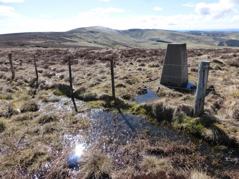
Windy Gyle, 619 m, NT 855 152.
OS 80: Cheviot Hills & Kielder Water. OL 16: The Cheviot Hills.
Introduction
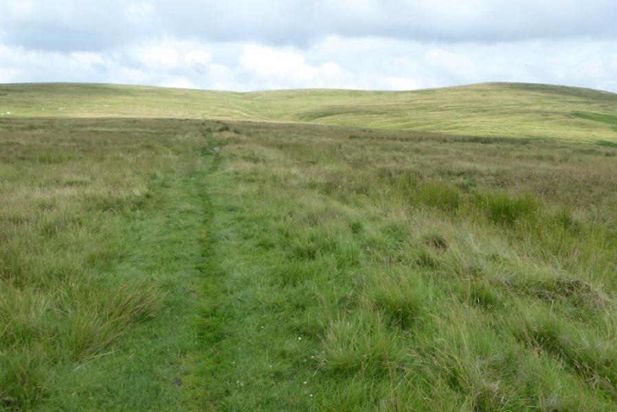
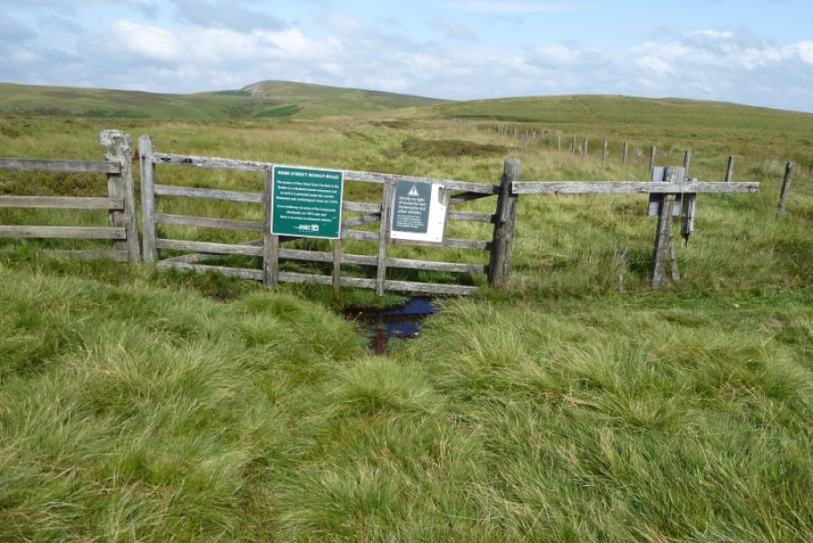
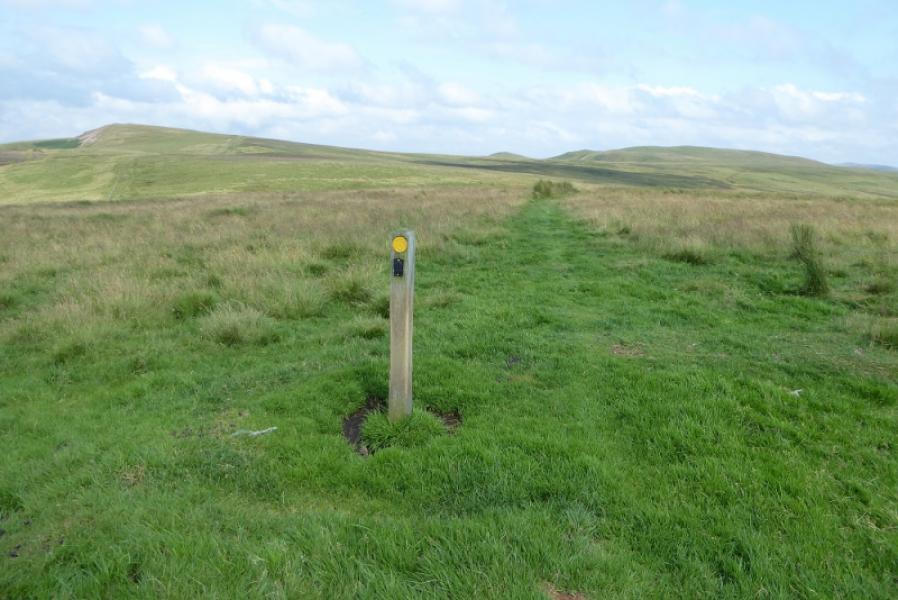
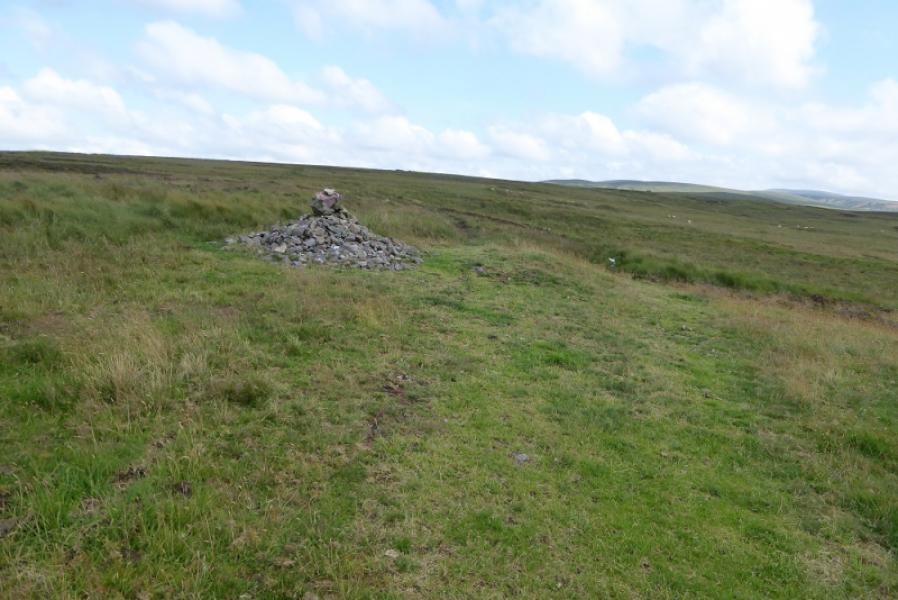
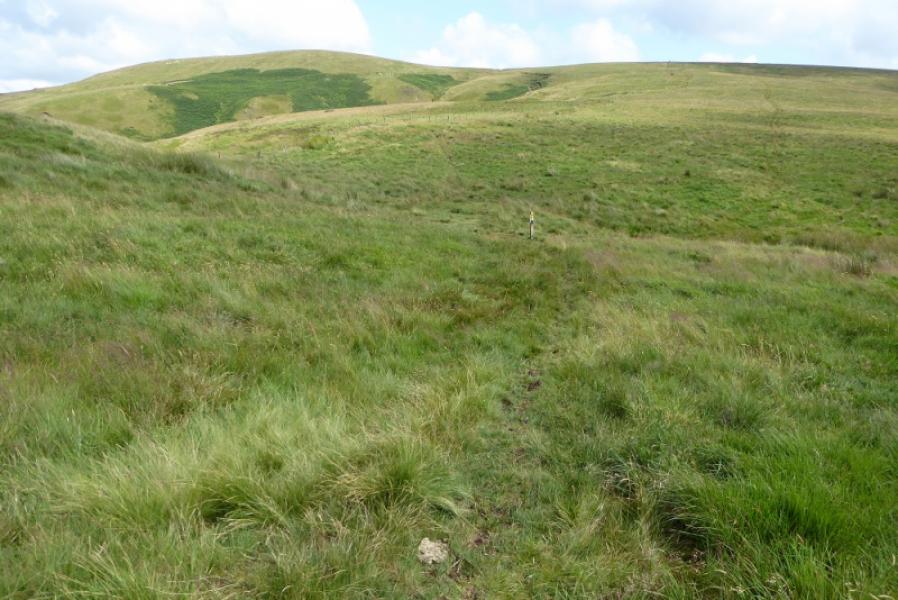
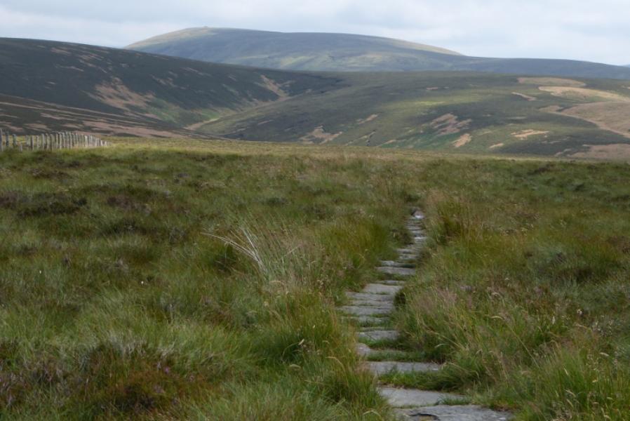
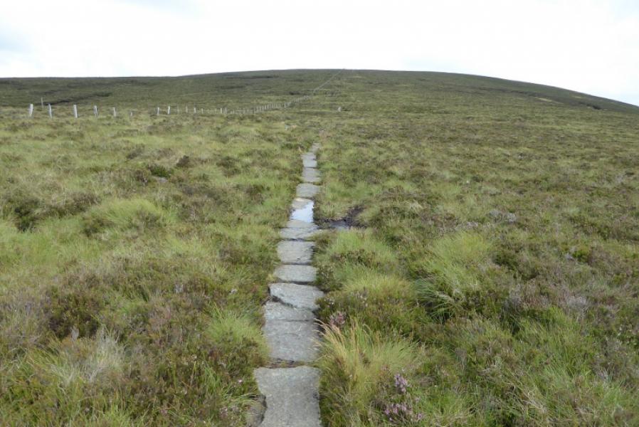
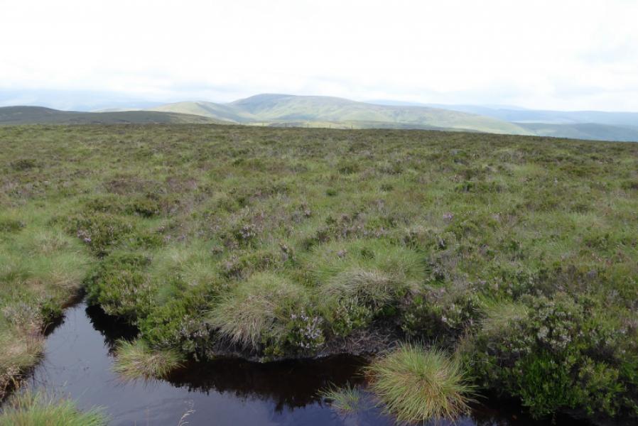
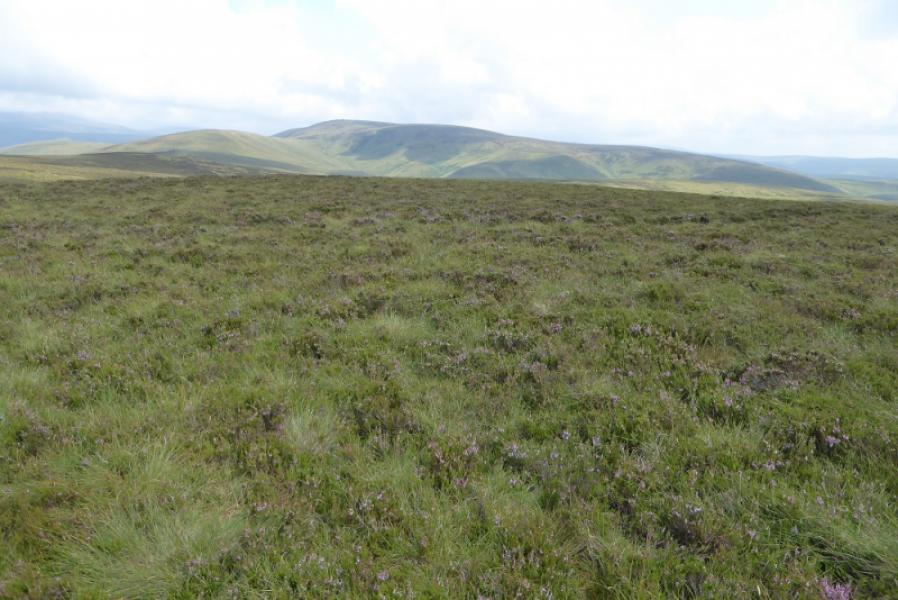
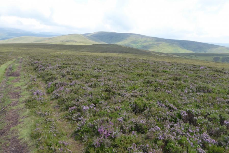
Much of this route follows the Pennine Way along the England-Scotland border but hardly touches Scotland. The Coquet valley is quite scenic but many will want to avoid the long walk back along the road so best to have a second car or use a bicycle. The ground can be quite boggy from Chew Green to Lamb Hill where a slabbed path begins. There are some signs but navigation will be challenging in thick weather as the ground is fairly featureless with few landmarks. There is, however, no mistaking the huge cairn on the summit of Windy Gyle. Chew Green is the remains of a Roman Camp which some may wish to explore.
Route
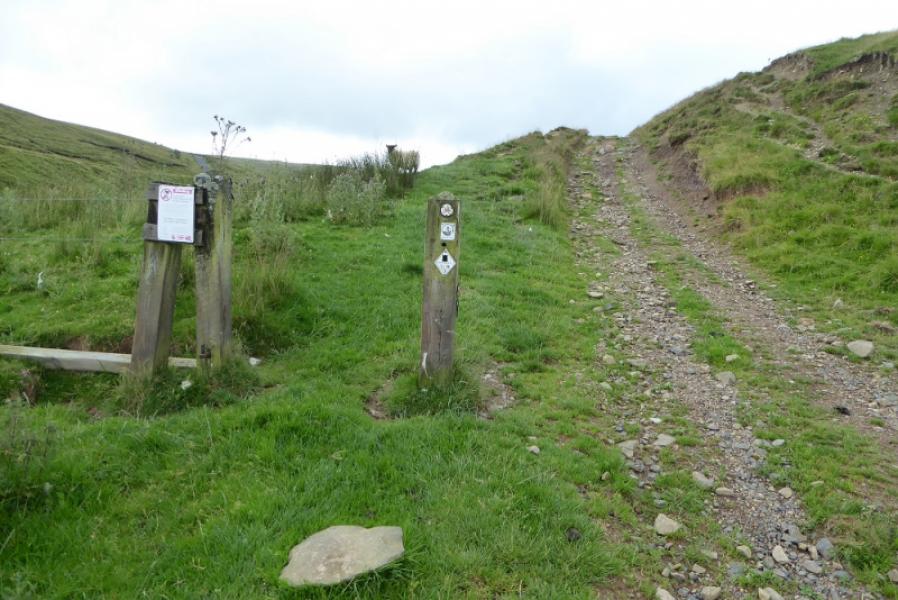
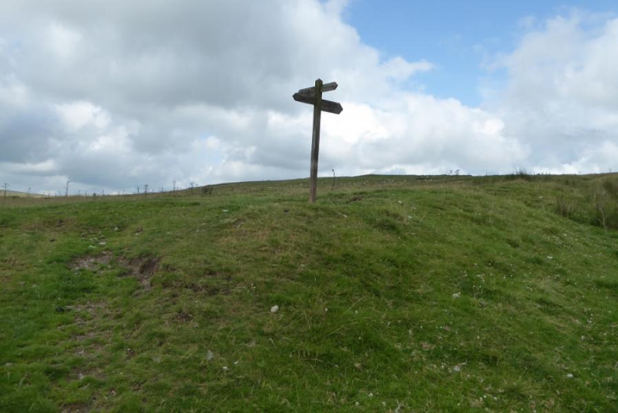
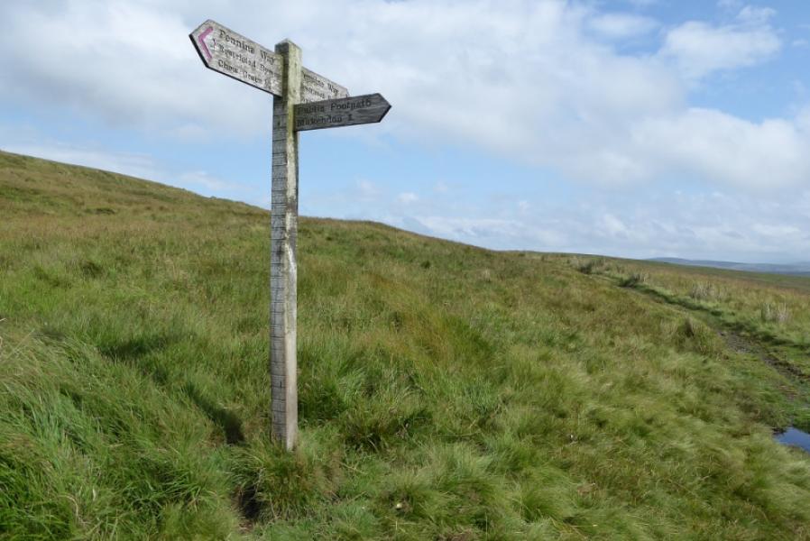
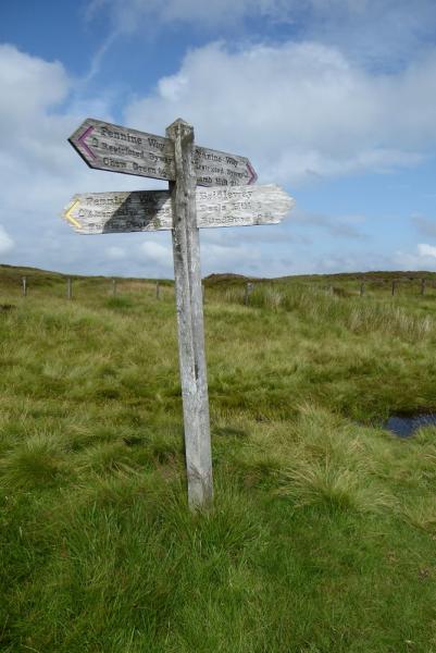
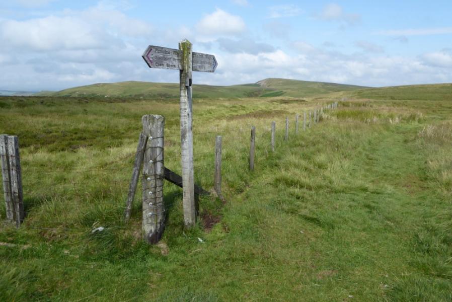
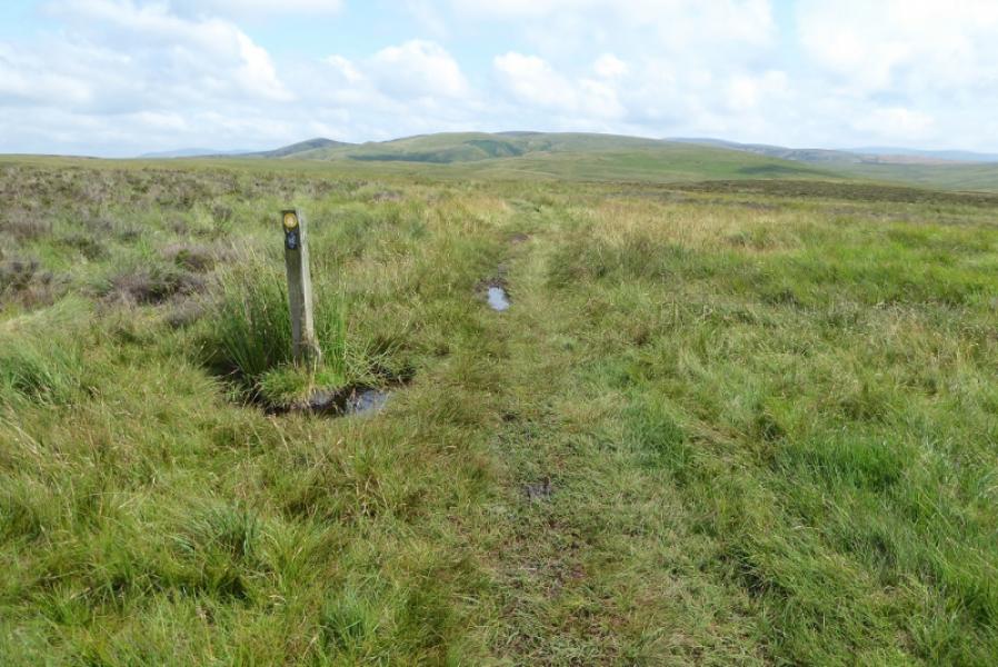
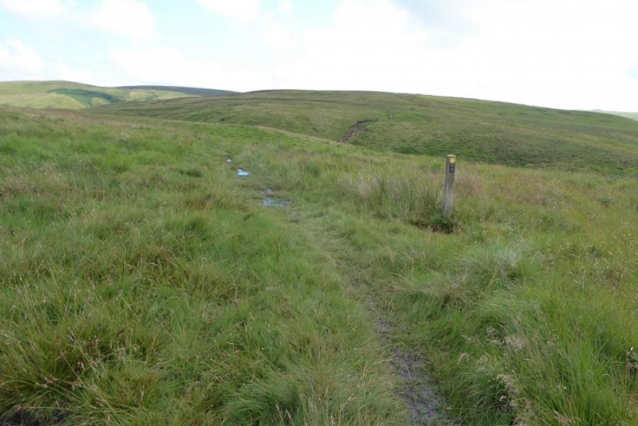
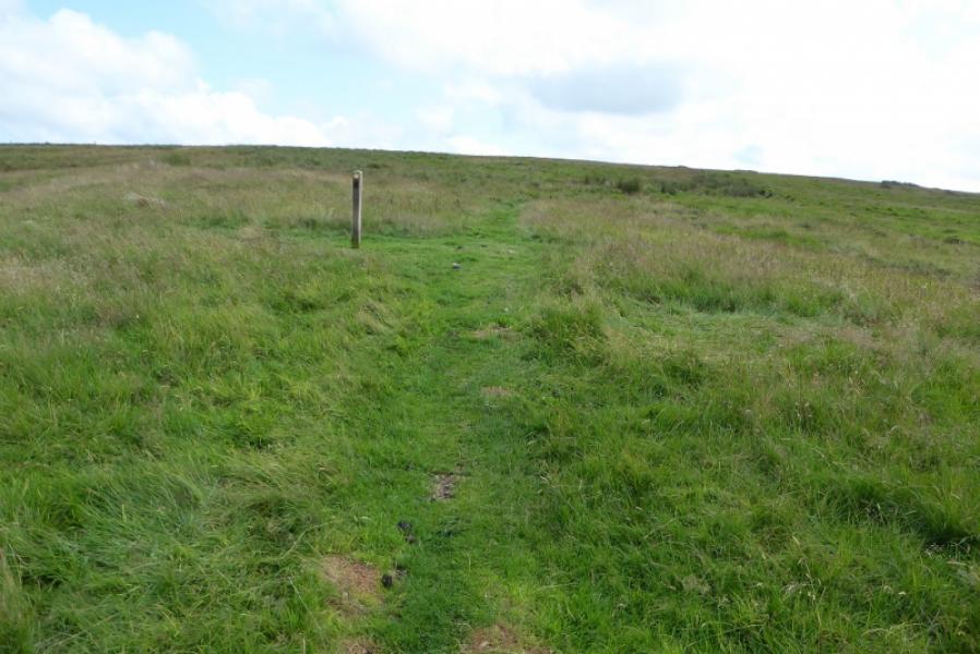
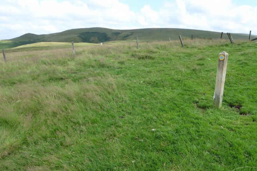
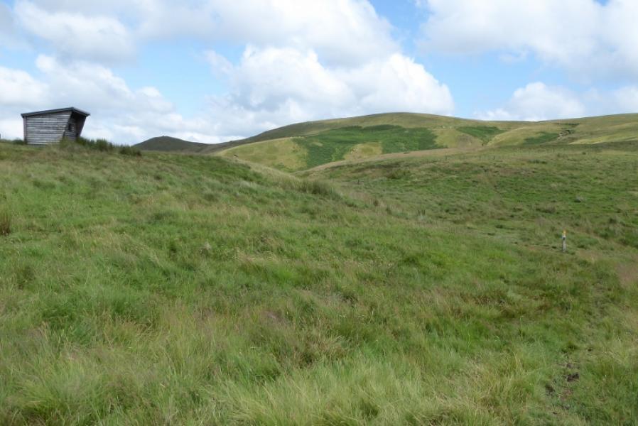
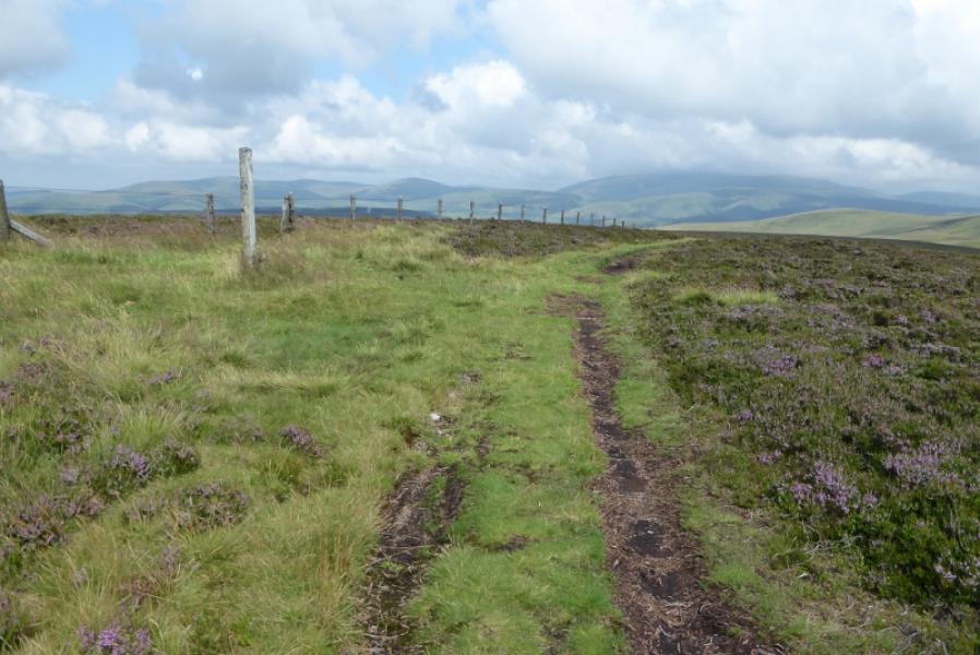
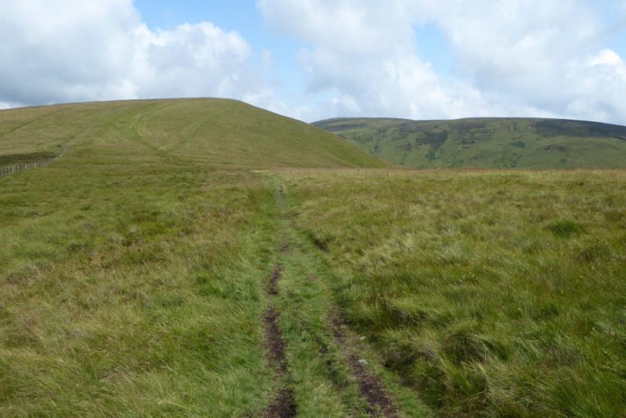
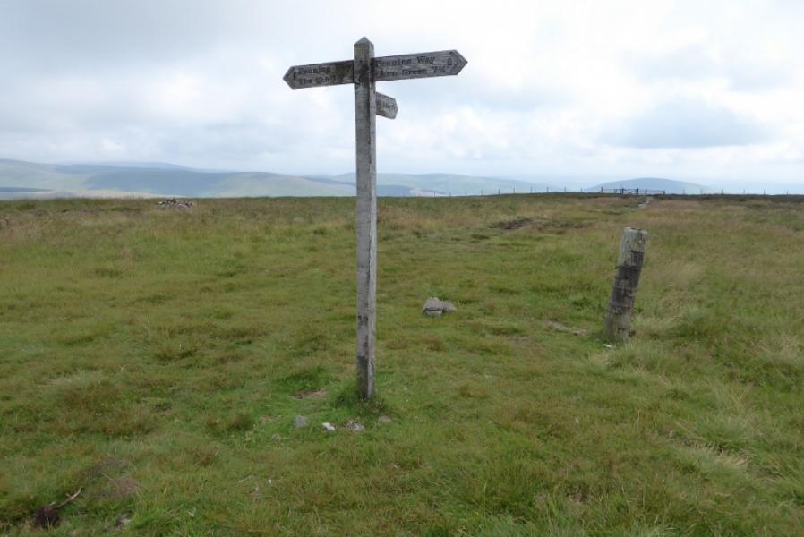
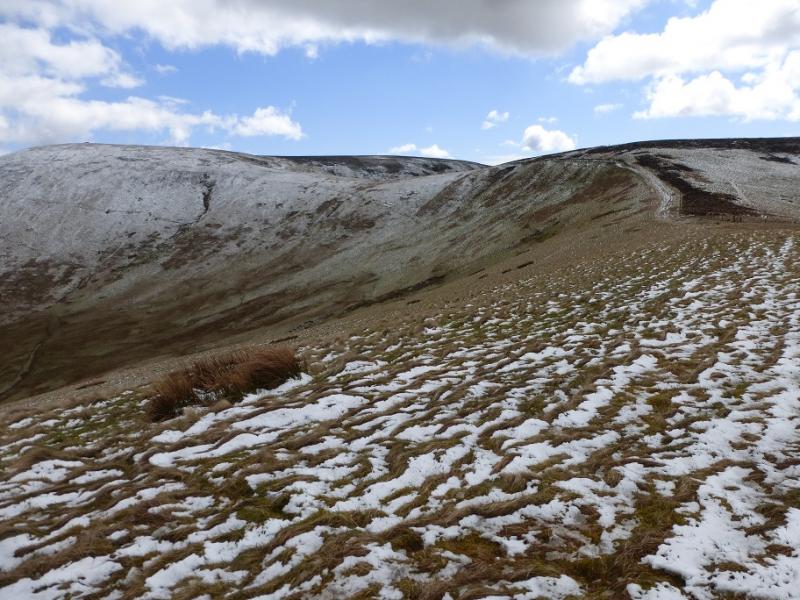
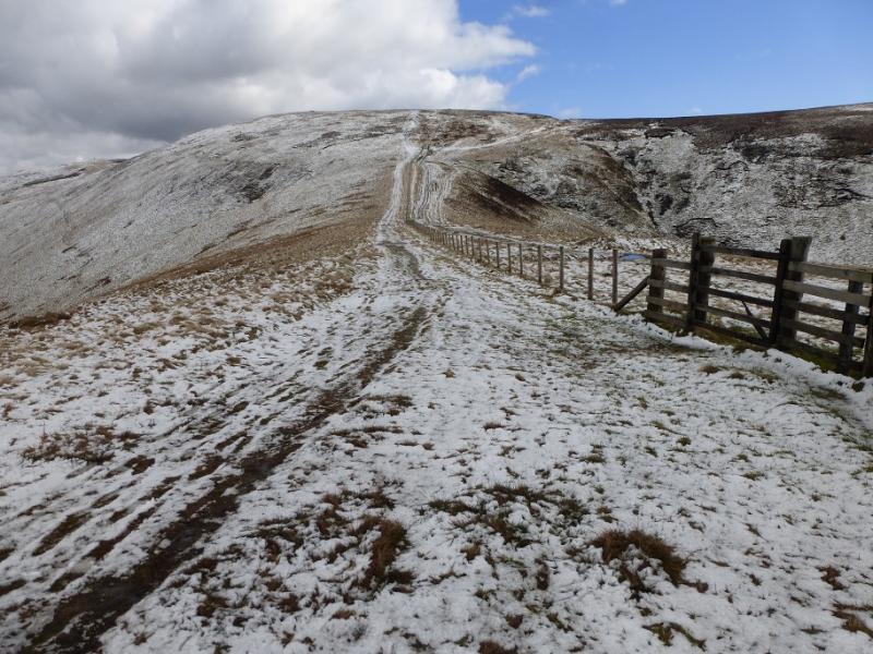
(1) Continue ahead from the turning circle and go straight ahead up a rough, steepish track. Soon reach a signpost which points you roughly N on the Pennine Way. The path is not very obvious so just keep going until a post is reached where the Pennine Way forks right then soon crosses a wooden bridge over a boggy stream. Continue, passing a marker post, a signpost and going through a gate. Further on is another signpost before reaching an enclosure with a sign “Dere Street”. The Pennine Way passes to the right of this with another signpost being close by. Continue, passing well to the right of the gently sloping Blackhall Hill. Pass a marker post then a good sized cairn with the gently sloping Wedder Hill off to the right. Pass some more marker posts and cross a deep cut grassy gully as you head towards the prominent Lamb Hill with its very obvious deep and wide gully. Pass the mountain refuge hut then ascend up gentle slopes. Higher up an old fence is followed which passes the trig point on Lamb Hill, 511 m. It is very easy to reach the trig point across the old fence.
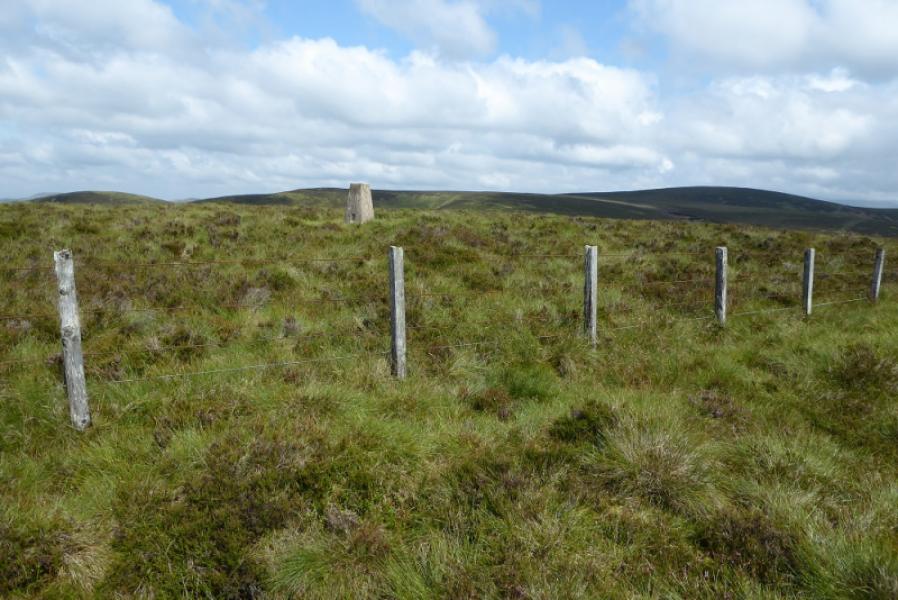
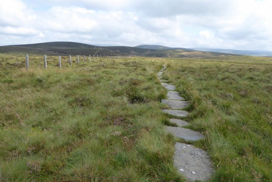
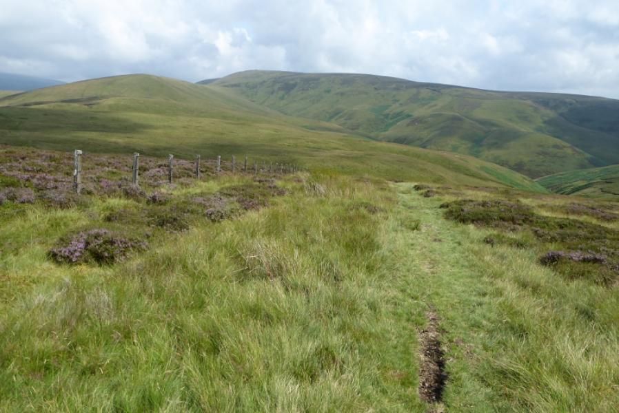
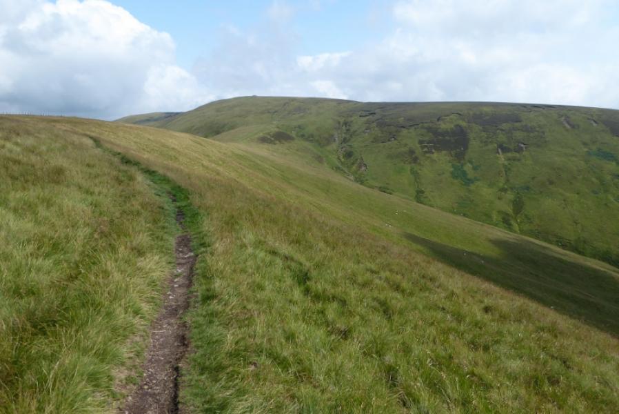
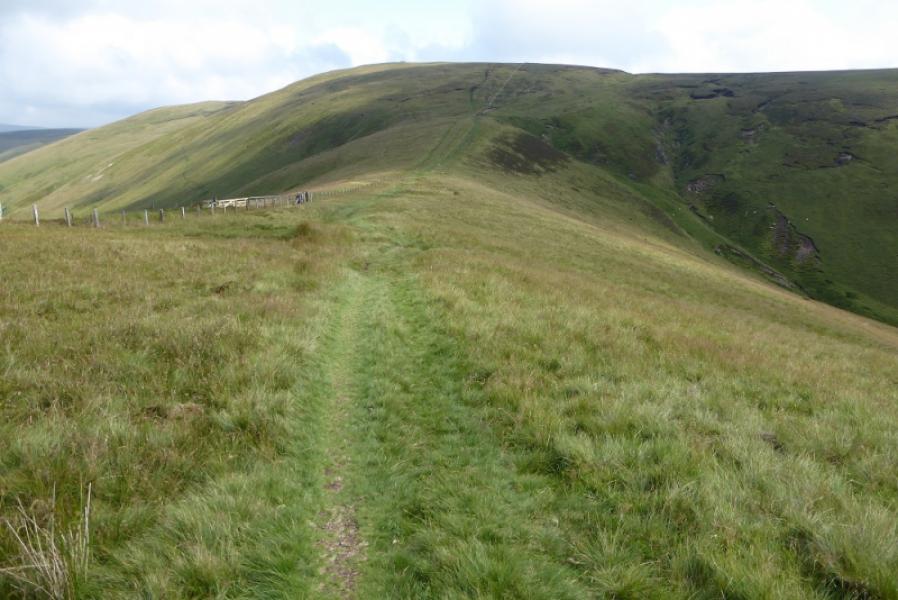
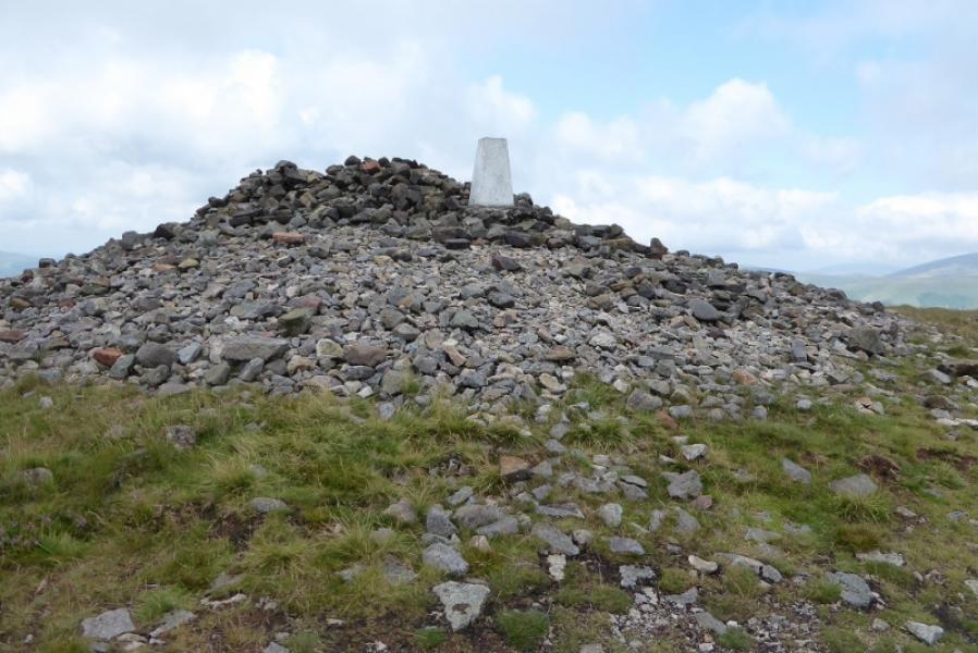
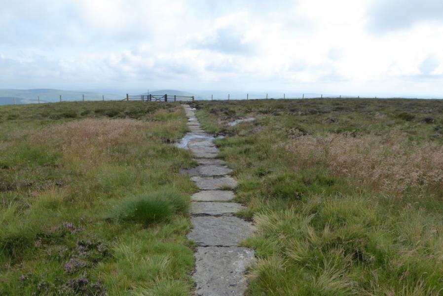
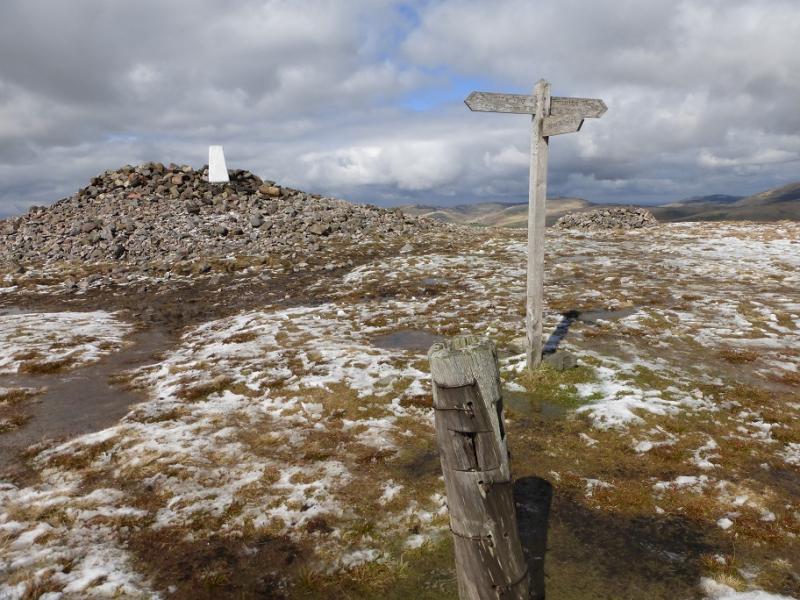
(2) Soon after the path becomes slabbed and much easier to follow. In good weather, Windy Gyle and its cairn will be very obvious but it is several hills away. The path is fairly obvious even when the slabs run out. Go over Beefstand Hill, 562 m, then Mozie Law, 552 m. Descend to a gate and signpost for The Street. Continue on the Pennine Way which traverses to the right of the next hill then ascends to join the top of the ridge known as Windy Rig at a fence and gate. This is the north west col of Windy Gyle. Cross the fence and follow the Pennine Way up to the huge cairn and trig point which is the summit of Windy Gyle, 619 m. If you don't wish to enter Scotland, follow the fence up without crossing it for as far as possible. The huge cairn is also known as Russell's Cairn.
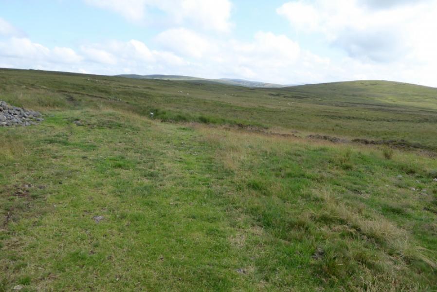
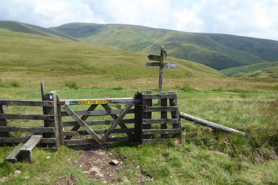
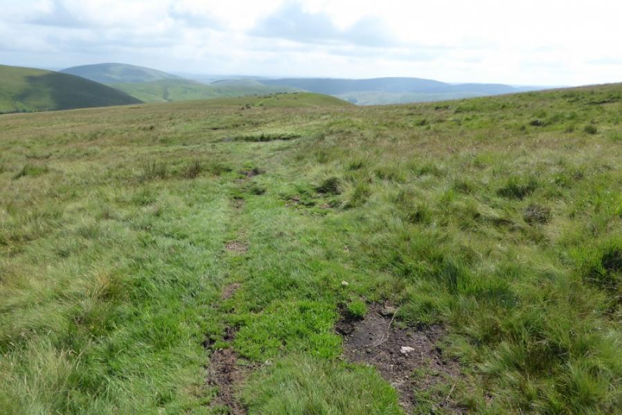
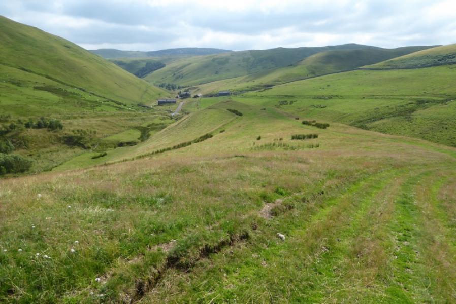
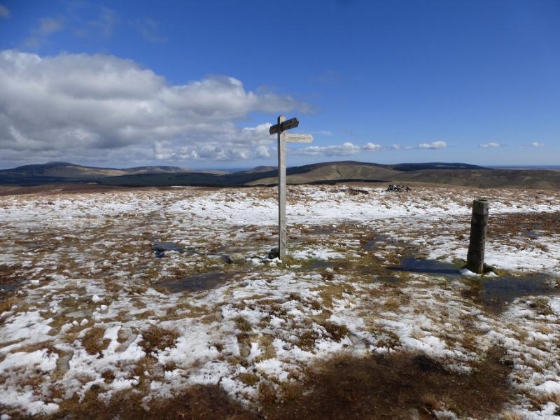
(3) A signpost is not far from the summit which indicates the Pennine Way routes to Chew Green and the Schill (on the way to Kirk Yetholm) and also points the way to the Coquet Valley. Follow the path/track towards the Coquet Valley. It is faint in places but the general direction is S and it soon descends down the centre of a broad grassy ridge with a wood off to the left. Continue down to reach the houses at Trows and a vehicle track which is followed past Rowhope then down to the main road up the Coquet Valley about 1 km W of Barrowburn. Return to the start along the road. It's about a 2 hour walk.
Notes
(a) This walk took place on 28th July, 2019.
(b) There is an alternative at Rowhope where a path can be taken to Carlcroft. This is much shorter than the track and road but does mean regaining a lot of height, about 200 m. It hasn't been checked out but is clearly marked on the map.
Photos - Hover over photo for caption. Click on to enlarge. Click on again to reduce.