Get Lost Mountaineering
You are here: Scotland » 00 Galloway and the Borders » Cheviot and Teviot Hills
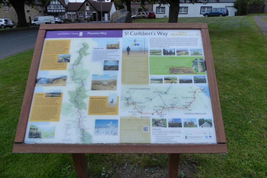
The Schil via Low & High Level Pennine Way from Kirk Yetholm
The Schil via Low & High Level Pennine Way from Kirk Yetholm
Start/Finish
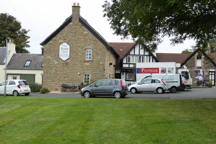
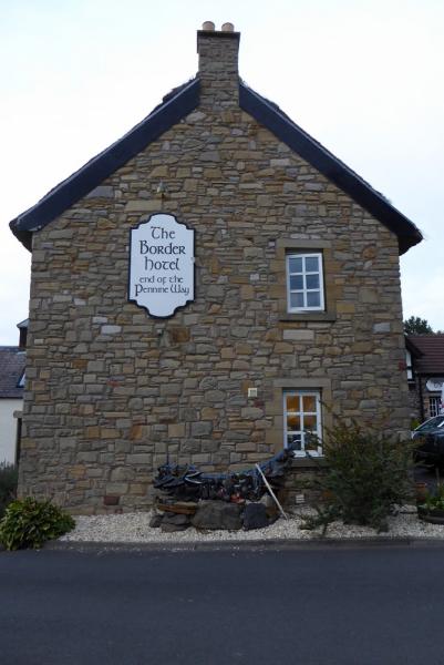
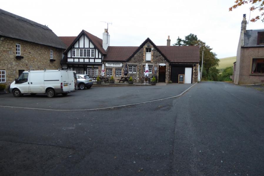
By village green in Kirk Yetholm near the Border Hotel. Kirk Yetholm is about 8 miles south of Coldstream and about 7 miles south east of Kelso. It can also be approached from Jedburgh. All approaches go through Town Yetholm where there are public toilets. It is possible to start about a mile south of Kirk Yetholm where the Pennine Way splits into High and Low Levels. This saves about 3 km and about an hour as much height has to be gained and lost on the road section.
Distance/Time
16 km About 6 – 7 hours from Kirk Yetholm
Peaks
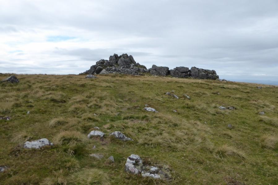
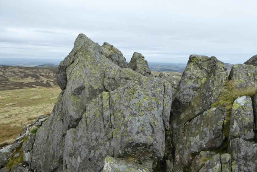
The Schil, 601 m, NT 870 223.
OL 16: The Cheviot Hills. OS 74: Kelso, Coldstream, Jedburgh & Duns
Introduction
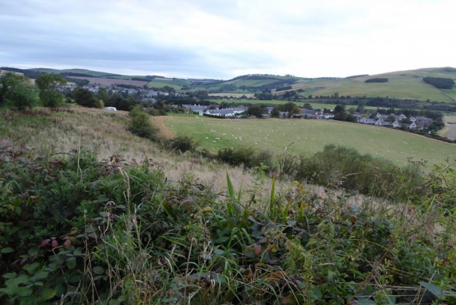
This is a pleasant circuit from Kirk Yetholm which makes use of the Low and High Level Pennine Way. The Schil is quite an attractive summit with several outcrops. The route can be shortened by turning back where the Low and High Level Pennine Ways meet below Black Hag. Expect occasional boggy patches. The whole route is fairly well signposted but clear weather is recommended for the views.
Route
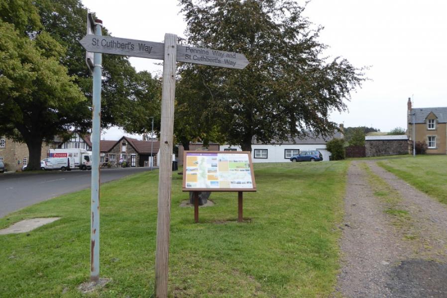
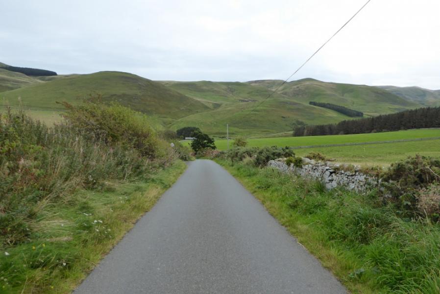
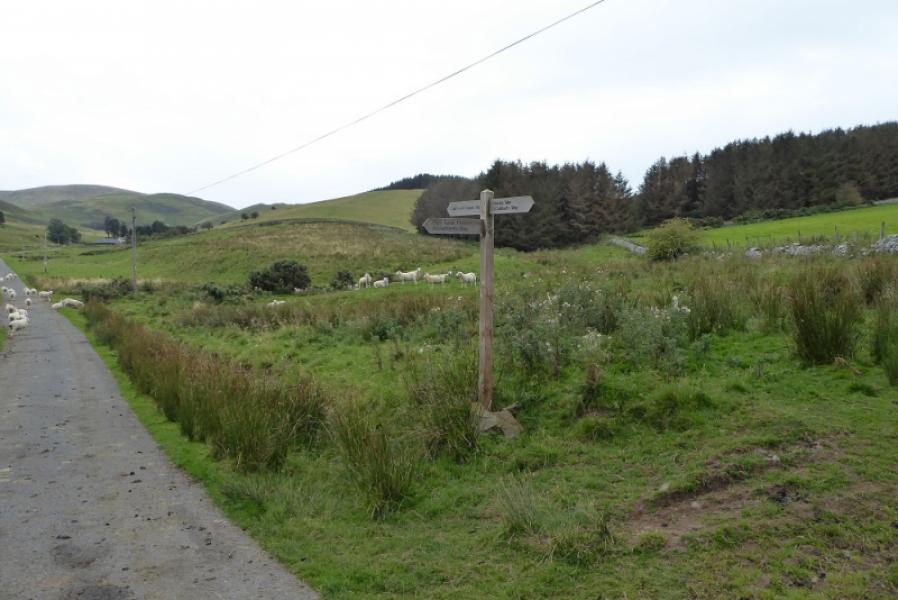
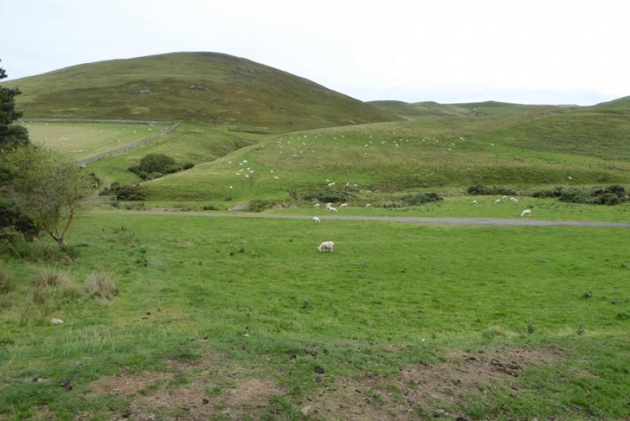
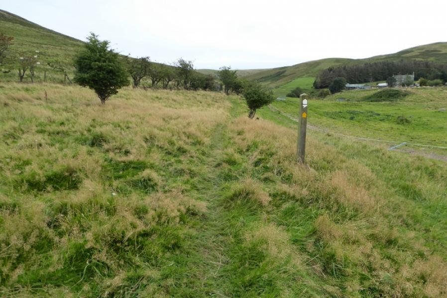
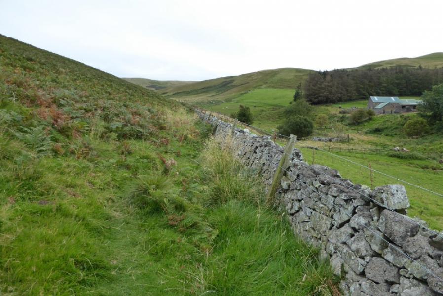
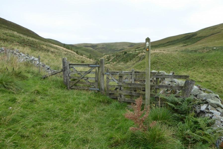
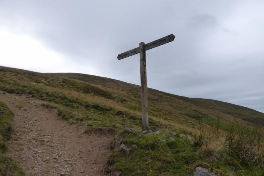
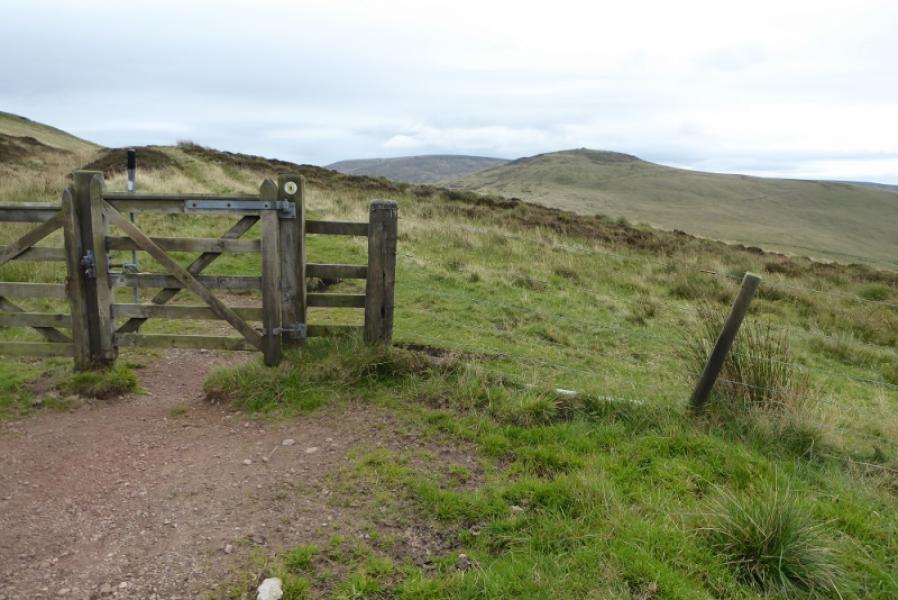
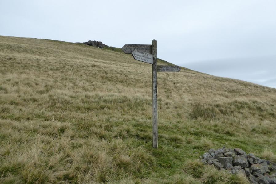
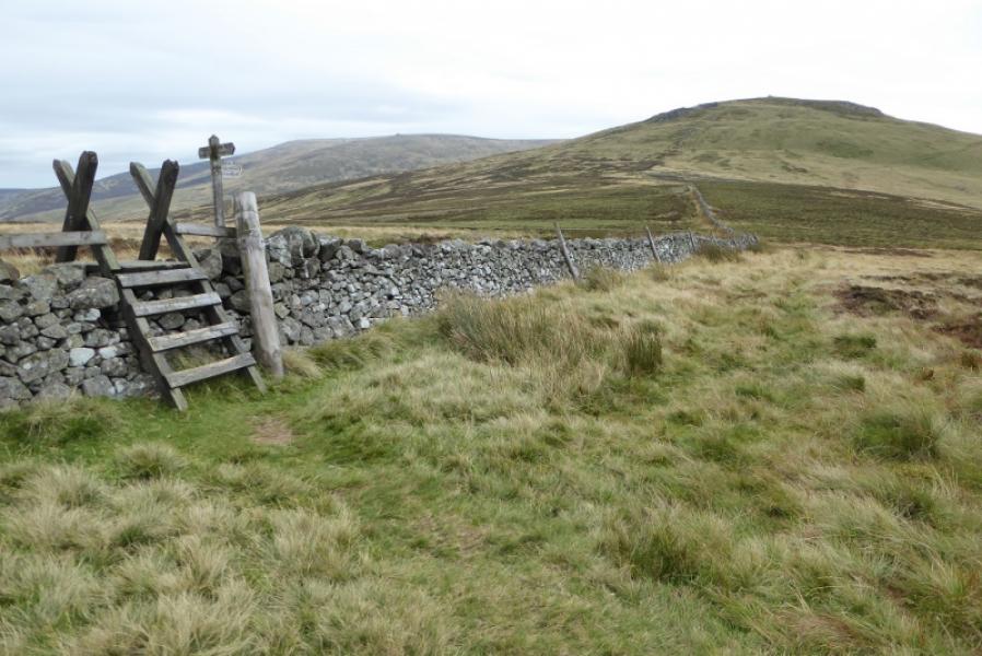
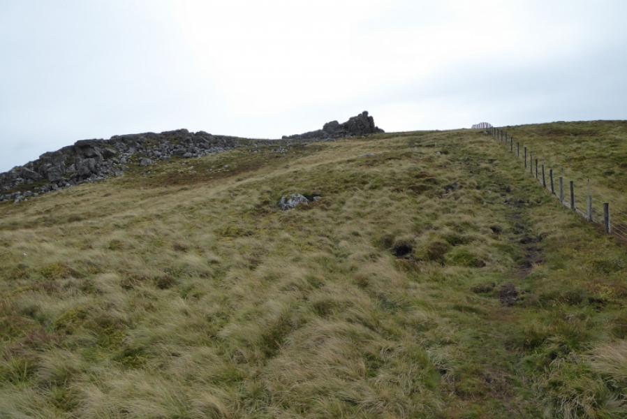
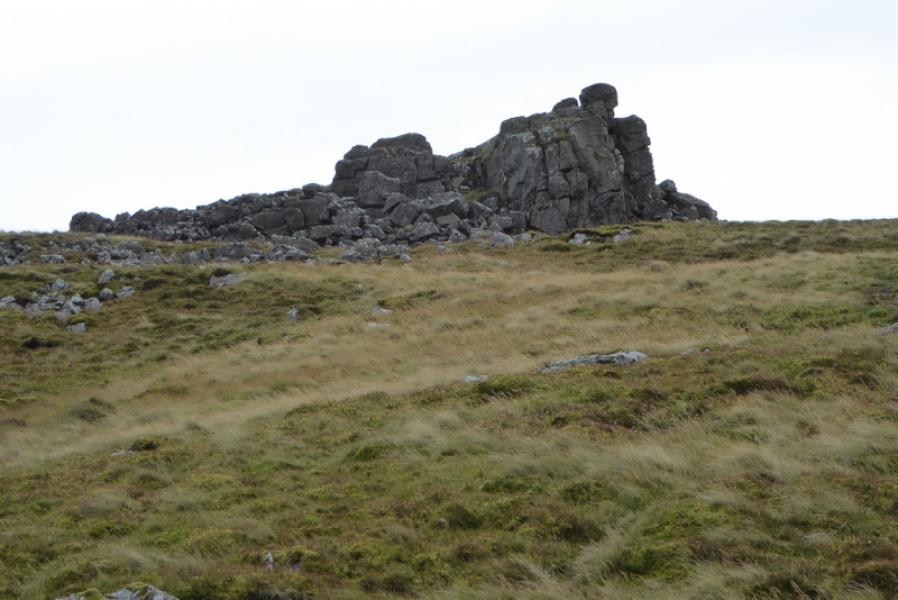
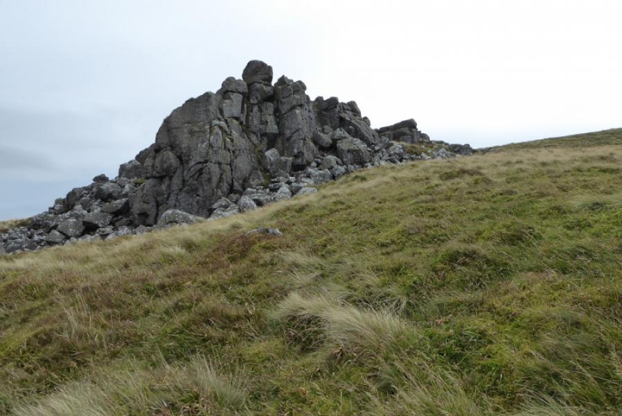
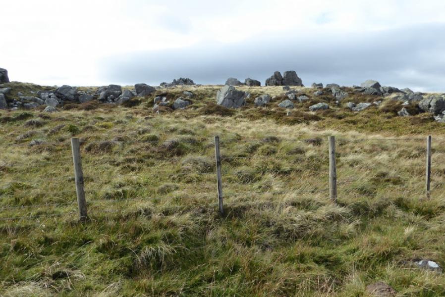
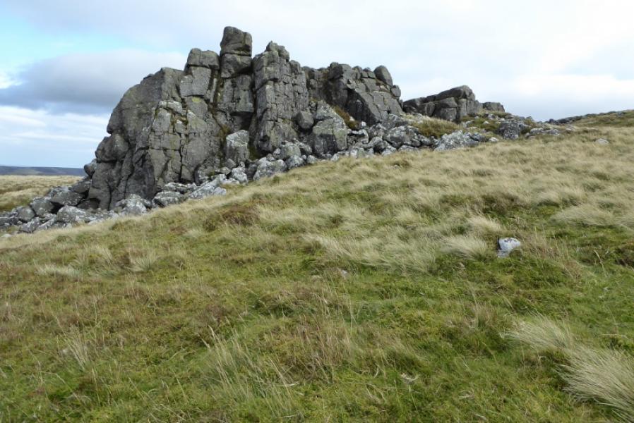
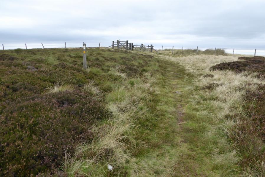
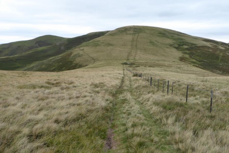
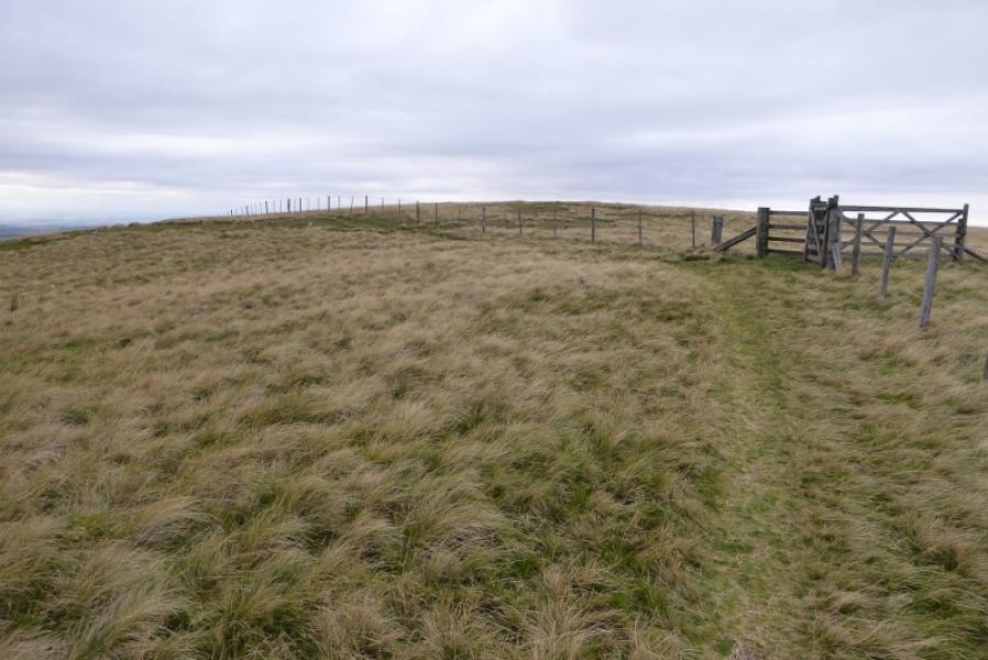
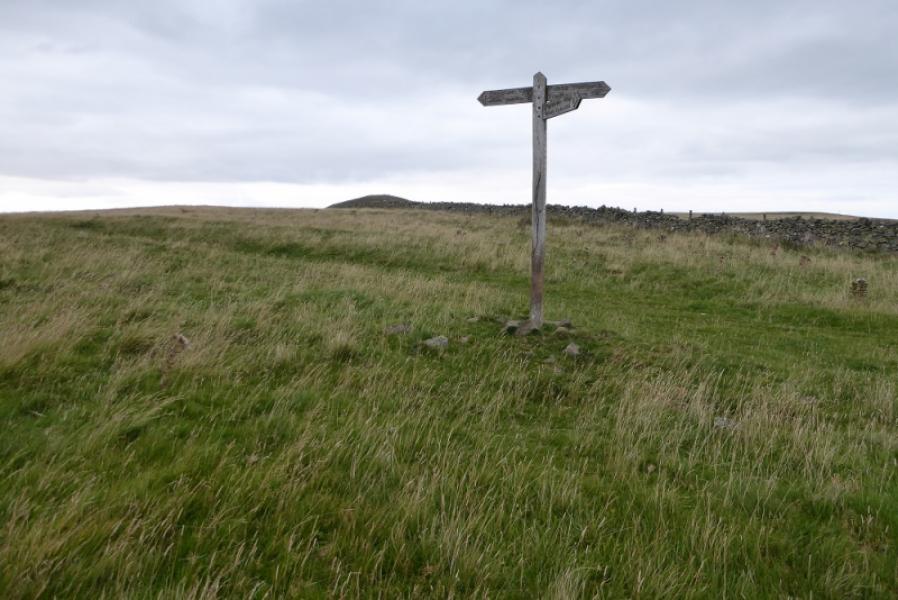
(1) From the Border Hotel in Kirk Yetholm, walk towards Town Yetholm but at the edge of the green go left at a signpost and follow a road uphill. The road climbs fairly steeply before descending to reach a cattle grid after which there is a signpost. Here the High Level Pennine Way goes off left but this route follows the Low Level option which continues along the road to its end at a gate. Continue on the track through Halterburn then onward towards Burnhead. The path is diverted across the stream to avoid disturbing Burnhead before recrossing later on. Continue on a grassy path/track until the path starts to climb, steeply in places, to reach a signpost where it is joined by the High Level Pennine Way. Continue ahead to reach a wall which is crossed below The Schil. Follow the path up The Schil, steep in places. Pass a prominent outcrop with a tower (easily ascended if passed then double back). When the gardient eases, reach a stile. Cross over and walk the short distance to a pointed outcrop which is the summit of The Schil, 601 m. There is no cairn on the highest point.
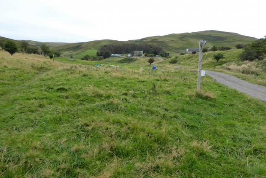
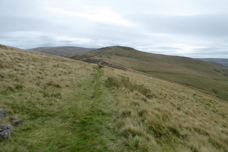
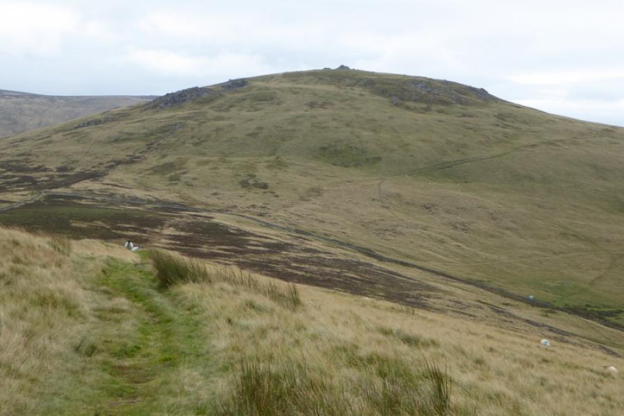
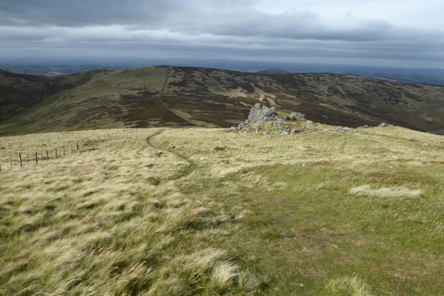
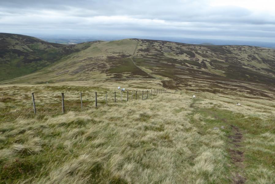
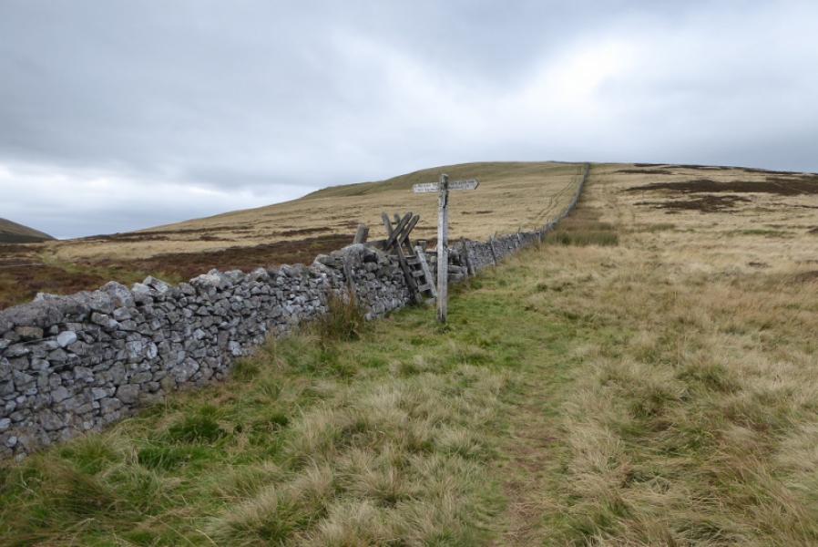
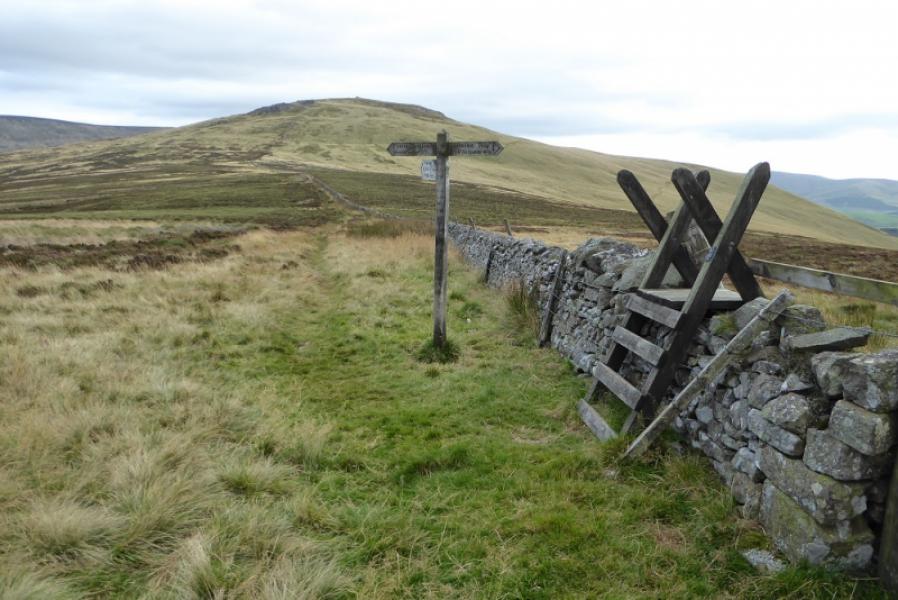
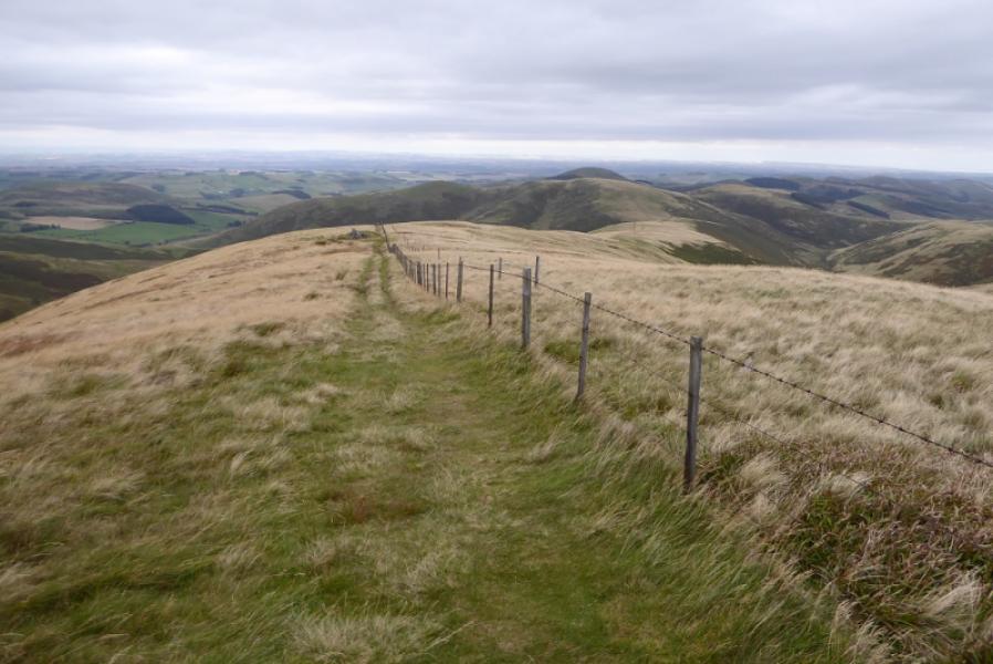
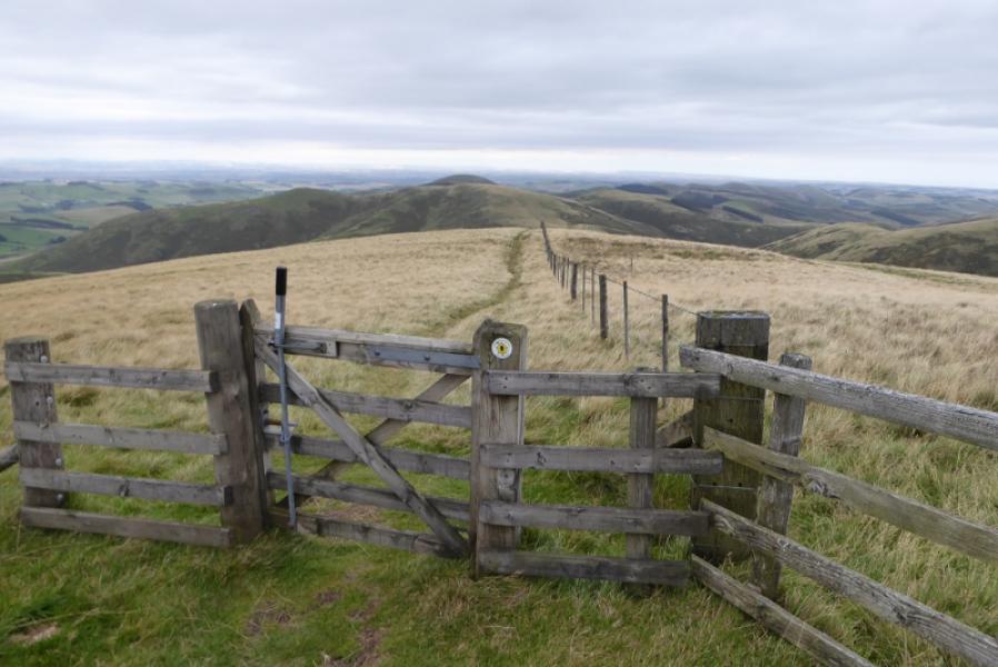
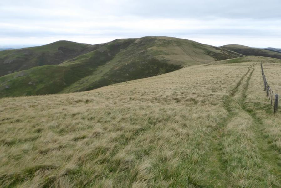
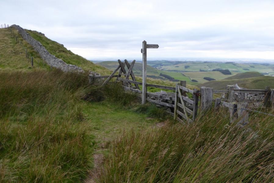
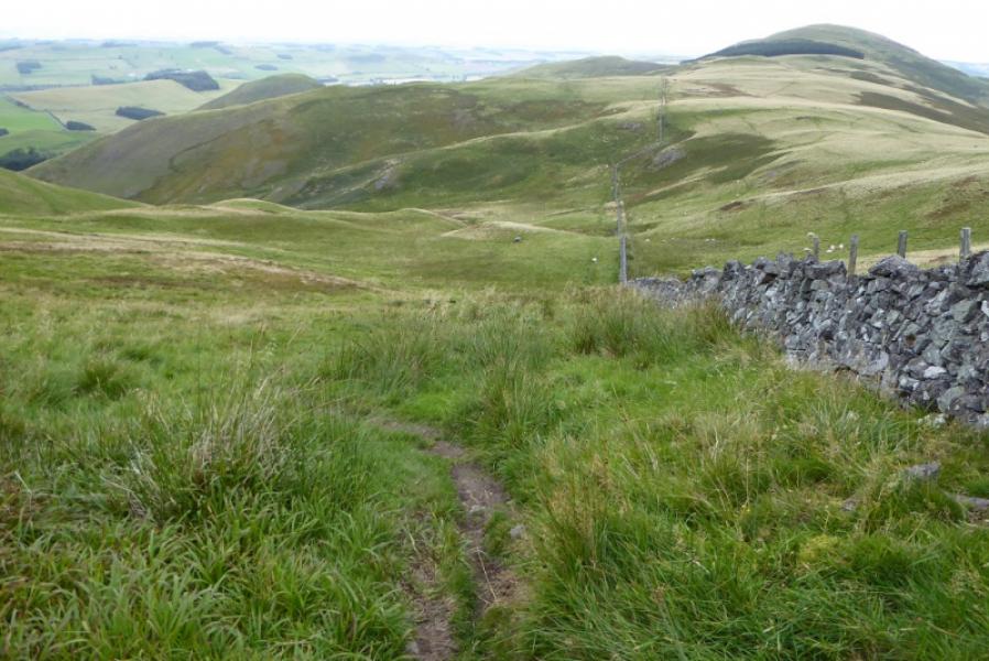
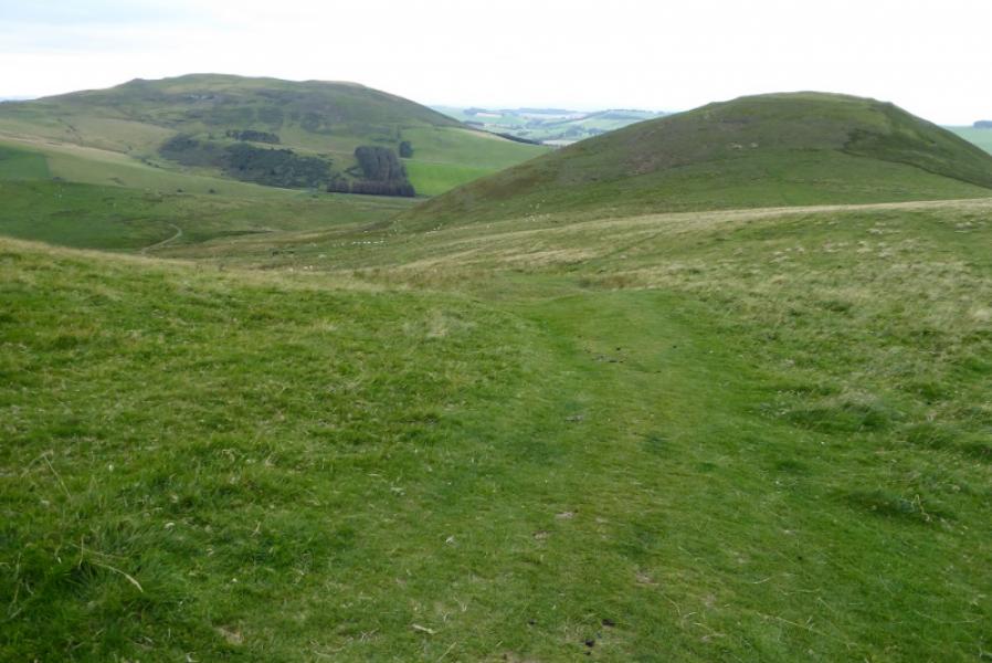
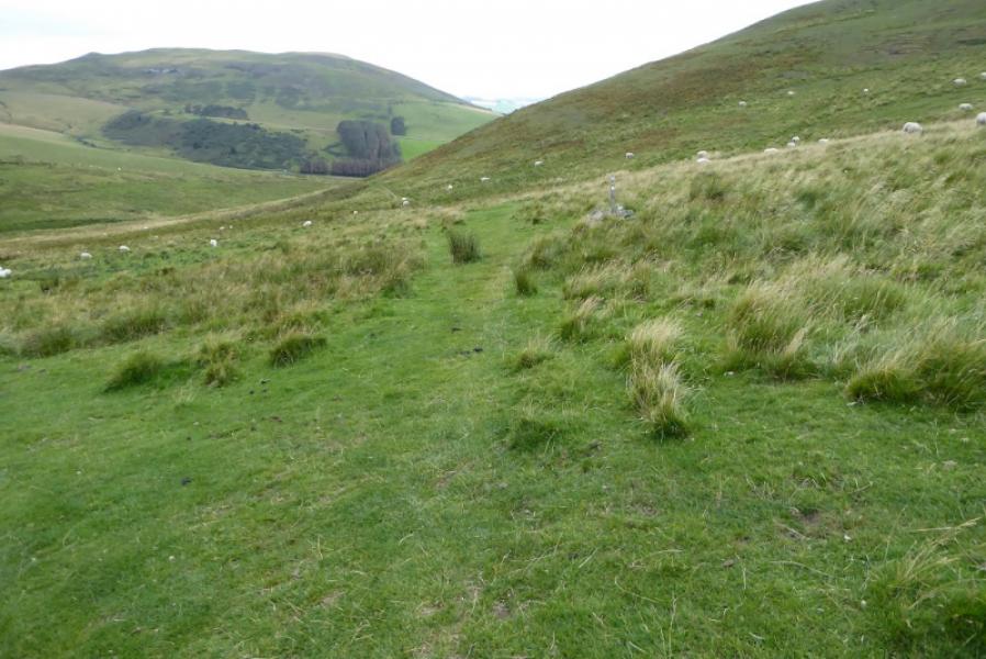
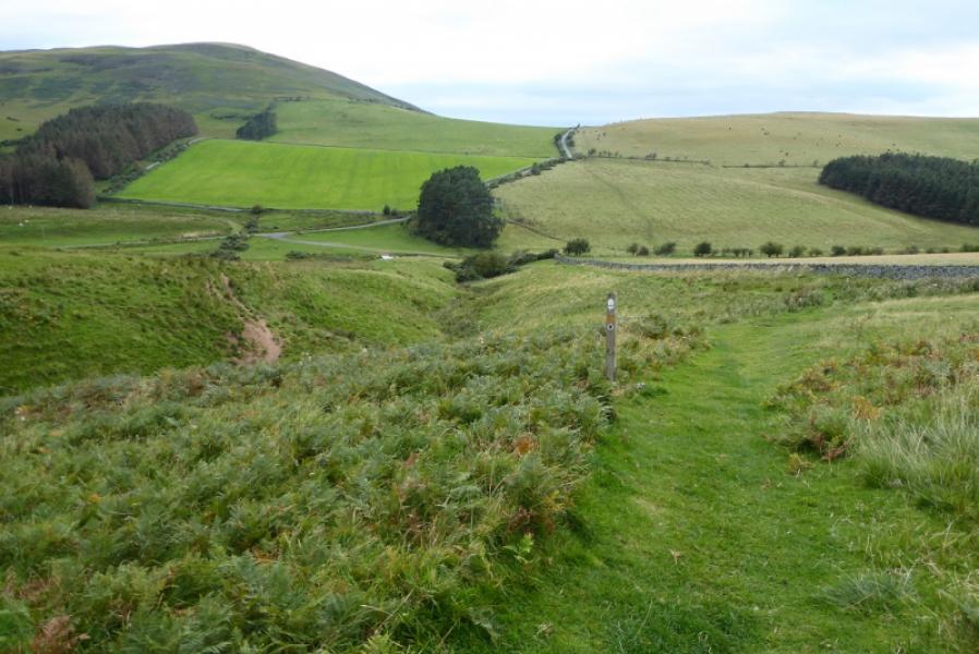
(2) Retrace to the stile then back to where the Pennine Way splits into Low and High Levels. Follow the High Level option which climbs gently for a short distance before descending along Steer Rig to reach the foot of White Law. Make the short but steep ascent to the summit crest following a fence which, high up, turns left at about the highest point. Continue along the crest descending to a col where the Pennine Way leaves the crest and descends due N on a rough path. Follow the path down and up, never straying far from the wall, to reach a signpost where one goes left following a wide grassy path. This descends gradually, heading for the next peak called Green Humbleton but leaves the crest just before the ascent of this peak would start. Follow the grassy path which traverses to the left of Green Humbleton. Lower down it becomes a narrower stony path which leads down to the road to meet up with the Low Level Pennine Way. Follow the road back to Kirk Yetholm.
Notes
(a) This walk took place on 18th September, 2019.
(b) Taking the car along the road to where the Pennine Way splits saves about 3 km and and hour.
(c) Turning back where the High Level Pennine Way is reached saves about 3 km and about an hour.
Photos - Hover over photo for caption. Click on to enlarge. Click on again to reduce.