Get Lost Mountaineering
You are here: Ireland » South West » Beara Peninsula
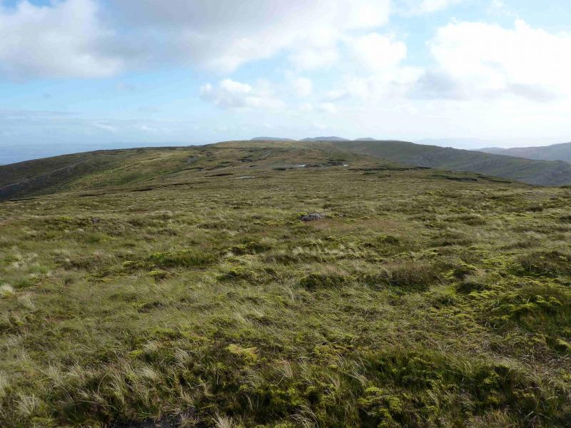
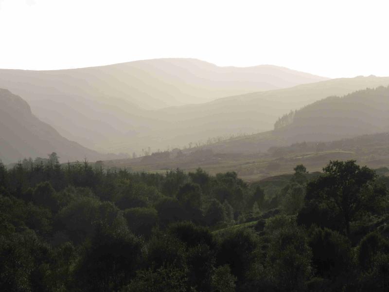
Coomnadiha
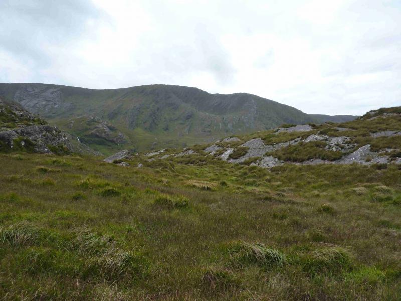
Coomnadiha from Baurearagh valley road
Start/Finish
From Killarney, take the N71 road to Kenmare then the road to Glengariff (still N71). Go through Bunane (well signed) then look for a right turn signed Gortnabinny then take the first left (like a fork). This is a very narrow road (not much more than a track) with hardly any passing places. Follow the road for nearly 3 miles until it enters a wood. The only decent parking spot is in this wood, on the right, where a wide entrance leads to a locked gate. If one drives further the public road ends abruptly (without any sign) at a locked gate where it is not possible to turn around.
Distance/Time
7 km About 4 hours
Peaks
Coomnadiha, 644 m, V 848 600 (Irish National Grid System)
Irish OS Discovery Series Map 85 (1:50000)
Introduction
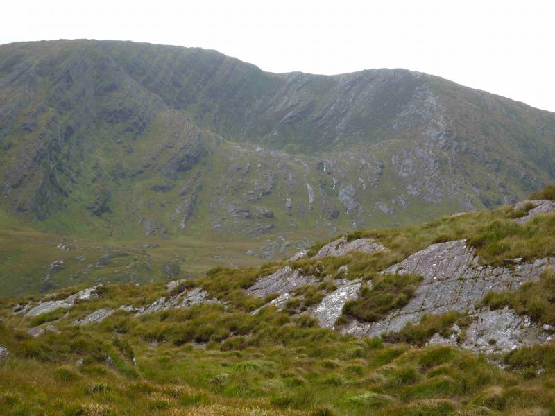
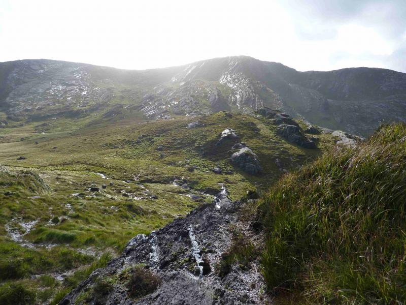
This would be a relatively straight forward walk but for the fact the landowners discourage walking access. If one asks for permission it is likely to be denied so better not to ask and keep a low profile. Apparently, there is an allowed route from near Lough Inchiqin to the N but walkers are charged for the previlege! It seems that this part of Ireland is in need of a mass trespass as on Kinder in the 1930's – the sooner the better. The walk gives good views of Baurearagh Mountain as well as other hills on the Beara Way.
Route
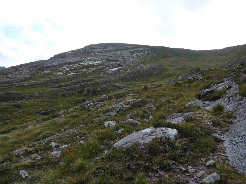
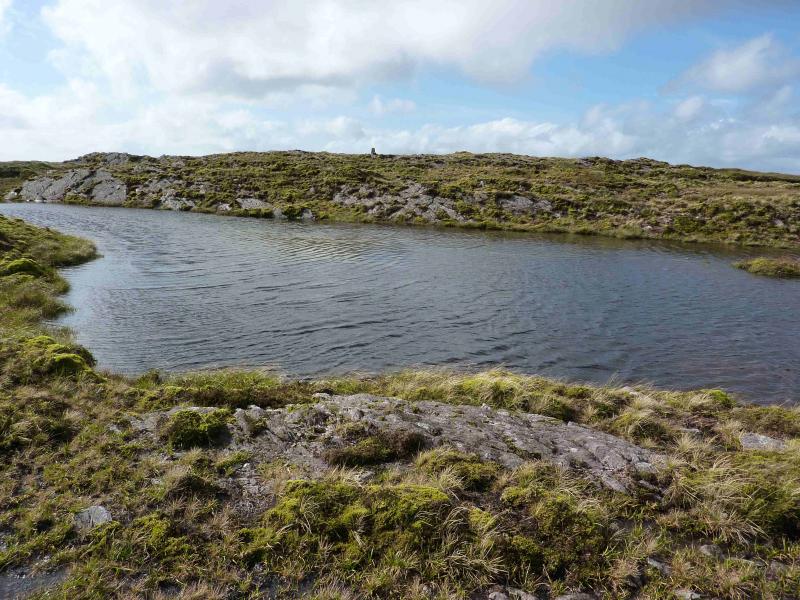
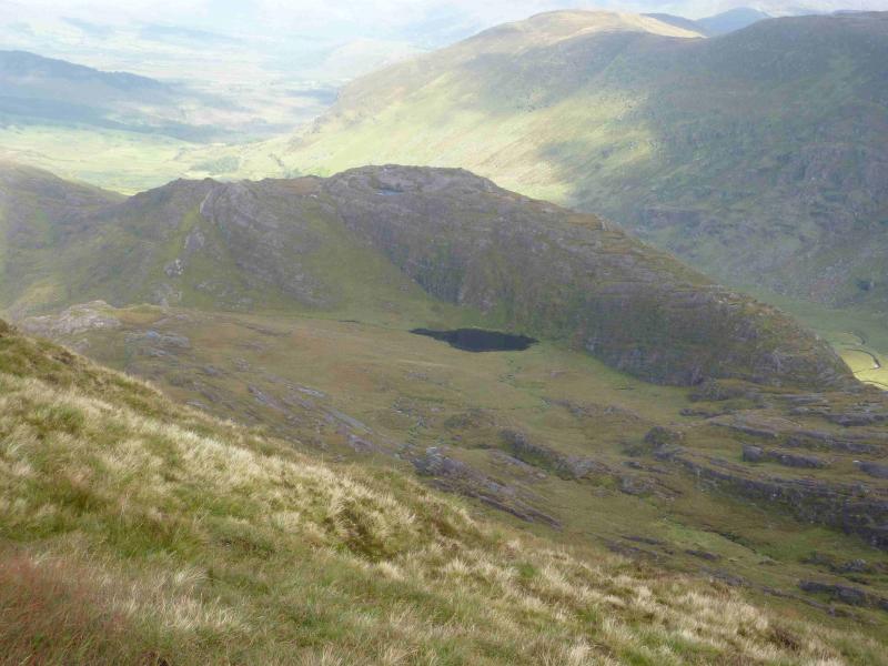
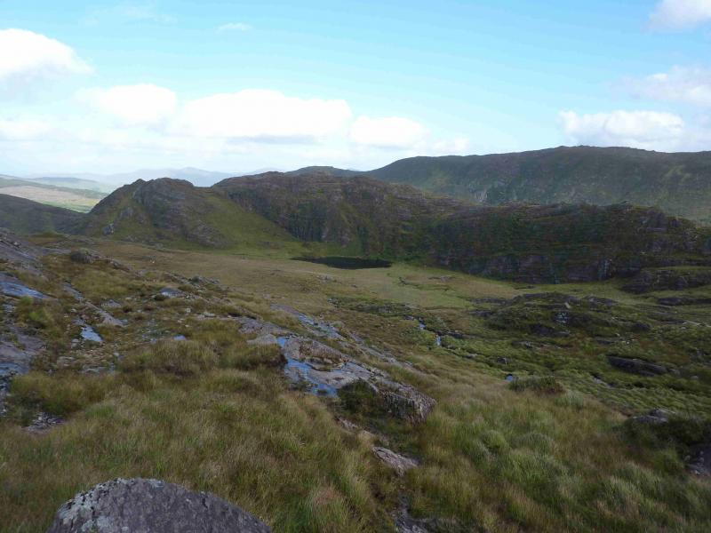
(1) It is possible to climb over the gate and follow the track up to a ruin. From there one has top fight through about 30 m of dense conifer plantation after which there is dense overgrown grass before one reaches better ground and can follow a fence SW along the ridge. Alternatively, walk up the road to the end of the wood. Continue to the locked gate. Climb over then pick a way uphill trying to avoid the worst of the long grass to reach the ridge described above. An easier route would be to continue up the private track which zig zags up towards the ridge but it passes a building behind a small clump of trees and there may be problems with the owners if this route is used. Follow the ridge SW until a path ( the fee charging one mentioned above!) is met which traverses the N side of Pt 435 to reach Lough Coomnalack. There are two small rocky sections on this path. The first is by a fence and the second is a short cleft. Neither should present any problems. Cross the outflow of Lough Coomnalack, leave the path, then head SW up the grassy corrie. In good weather, one could ascend either side on easy angled slabs. Once on the corrie rim, turn right, NW, and walk over gentle grounds containing some eroded peat hags. A sizeable lochan is reached about 100 m before the trig point which marks the summit of Coomnadiha, 644 m. There are some smaller lochans around the summit.
(2) Retrace the outward route.
Notes
(a) This walk took place on 16th September, 2012.
(b) The Fossa camp and caravan site, at V 910 923 is very good and very well situated for the Killarney mountains, especially Macgillycuddy's Reeks and Purple Mountain as it is only about 3 miles from Kate Kearney's Cottage. At Fossa, there are camping and caravanning facilities as well as a hostel and static trailer vans can also be hired. For campers, there are excellent showers (small extra charge) and there is a good campers’ kitchen with tables, sinks and cooking area if you have your own cooker and pans. Gas rings are available (small extra charge). There is also a TV room. Reception is open quite late in the high season and the staff are very helpful. A computer is available for hire and there is a freezer in reception. There is a bus stop outside the site for Killarney. There is a 24 hour Tesco which is off the northern bypass (turn right at 4th roundabout then right at next). Out of high season, it can be better for 2 people to rent a trailer van than to camp separately.
Photos - Hover over photo for caption. Click on to enlarge. Click on again to reduce.