Get Lost Mountaineering
You are here: Scotland » 00 Galloway and the Borders » Eildon Hills
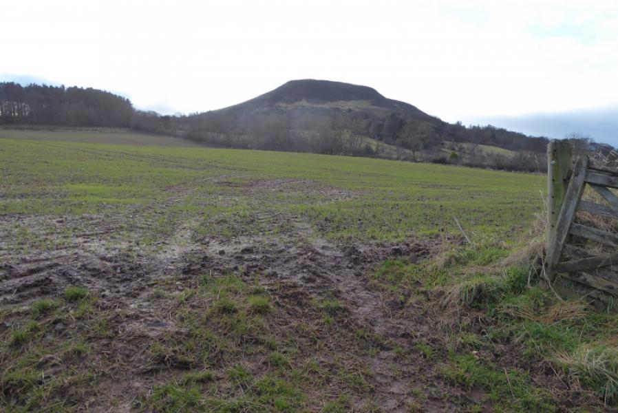
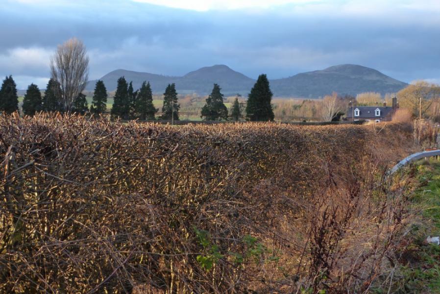
Eildon Hills from Melrose
Eildon Hills from Melrose
Start/Finish
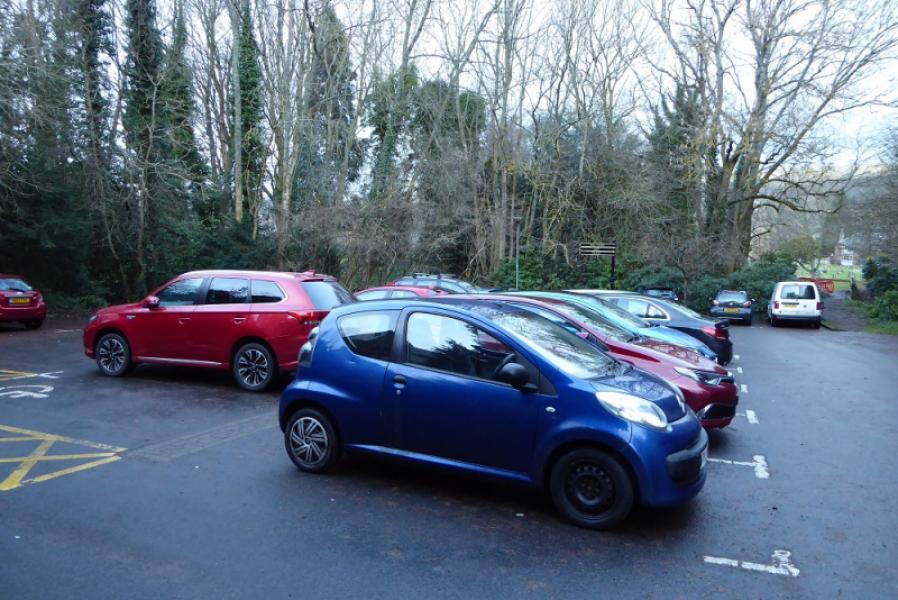
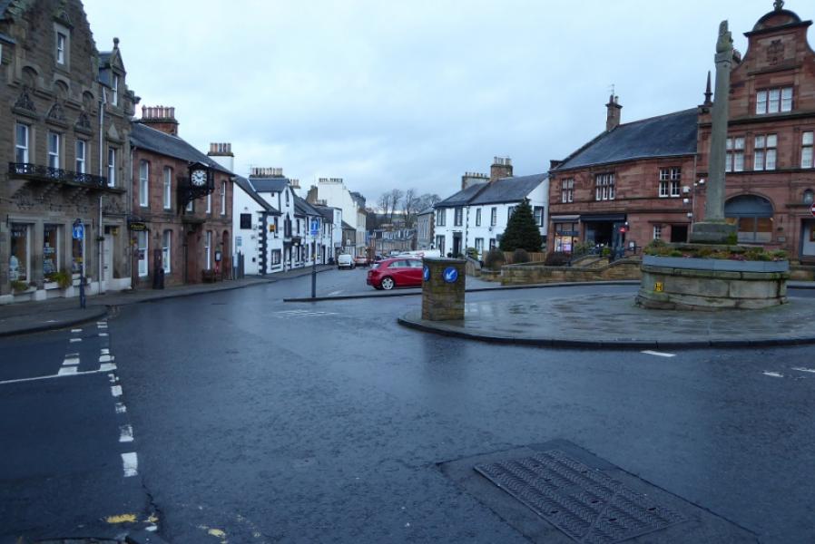
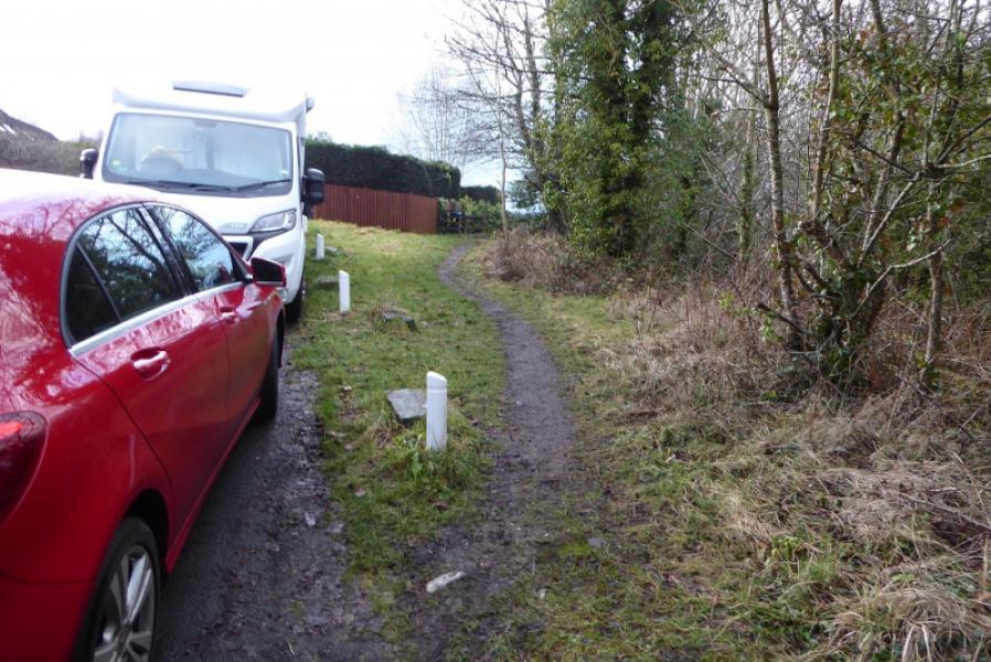
Nutwood car park, Melrose, Post code TD6 9EG. Approaching Melrose from the east on the A6091, take the turning for Melrose. The turning for Nutwood car park is signposted on the right before reaching the Market Square. The car park is free but can soon fill up. Other car parks are available but some charge.
Distance/Time
9 km. About 3 – 4 hours
Peaks
Eildon Wester Hill, 371 m, NT 548 316.
Eildon Mid Hill, 422 m, NT 548 323.
Eildon Hill North, 404 m, NT 554 328.
OS Explorer sheet 334: Galashiels, Selkirk & Melrose
Introduction
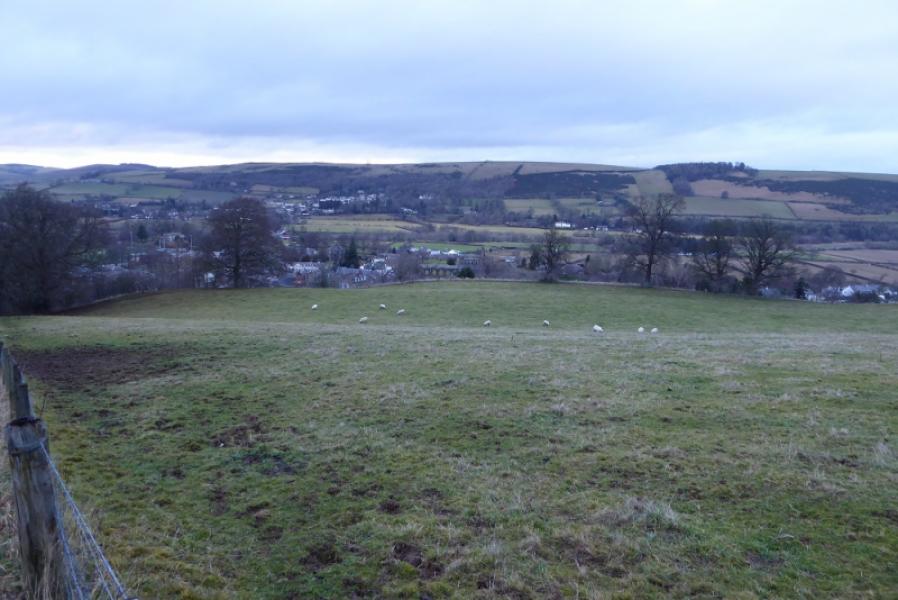
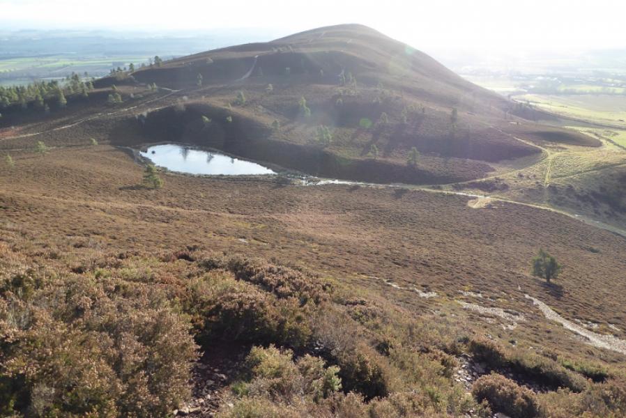
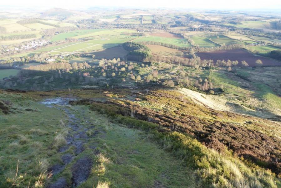
This is a pleasant walk over the three peaks of the Eildon Hills. The route has been chosen to avoid almost any retracing of steps. These hills are very popular so there are numerous paths though some are steep and can be icy in winter conditions. The hills are isolated from others so command good views in all directions. There is a viewfinder cairn on Eildon Mid Hill.
Route
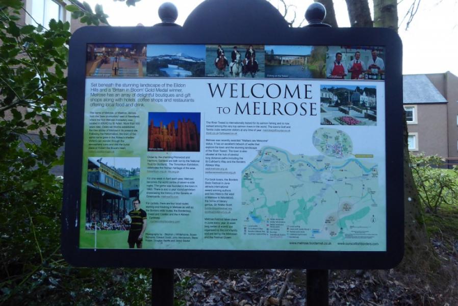
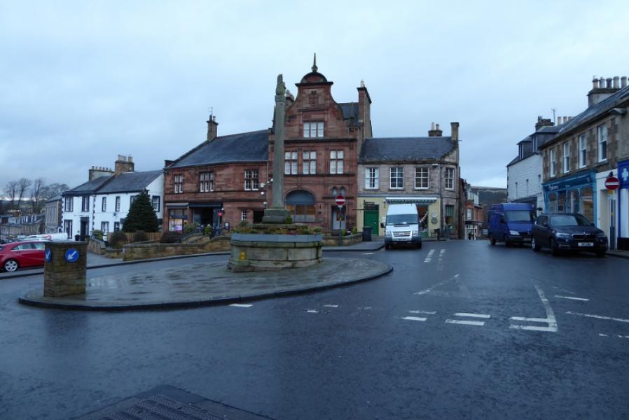
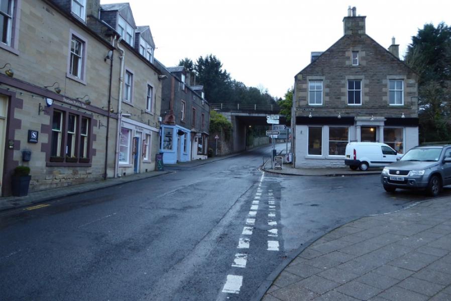
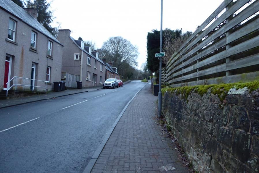
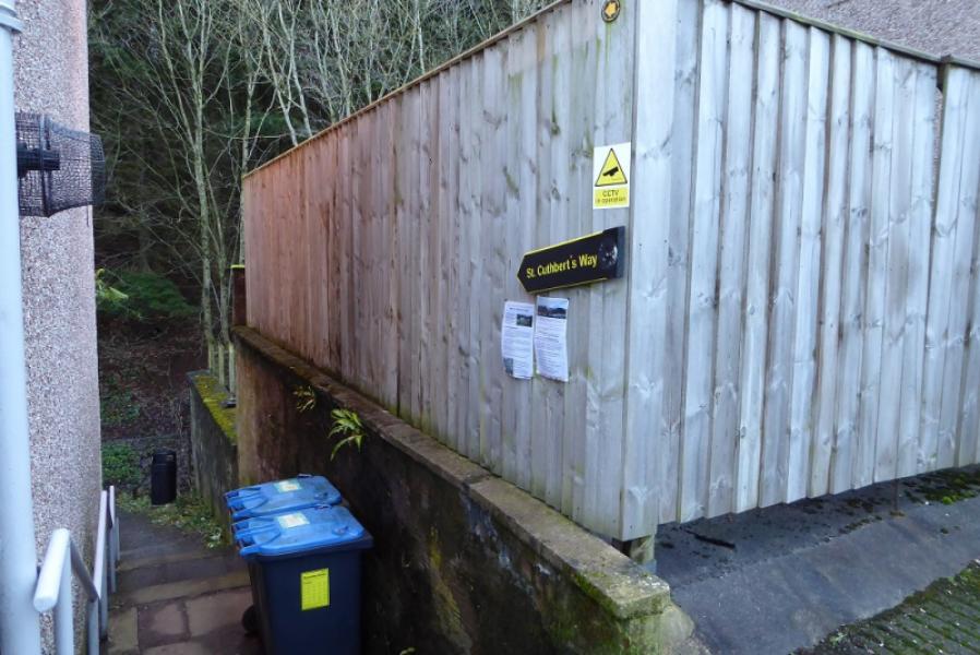
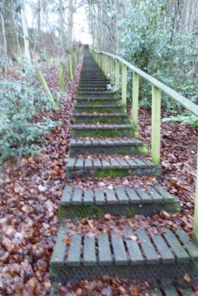
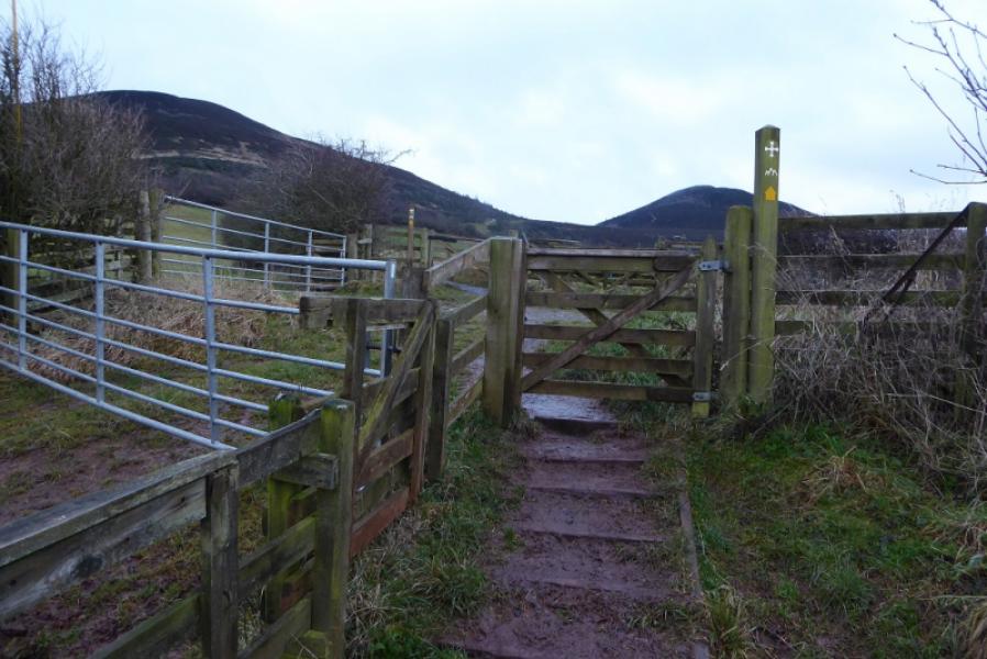
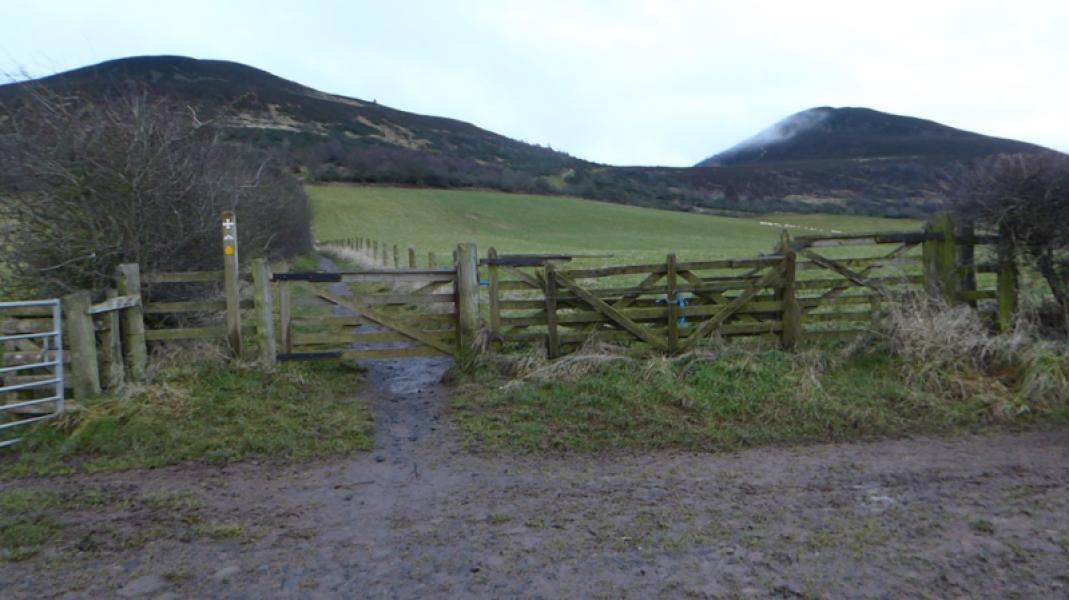
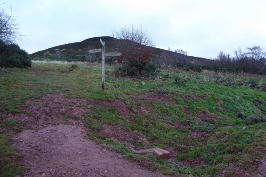
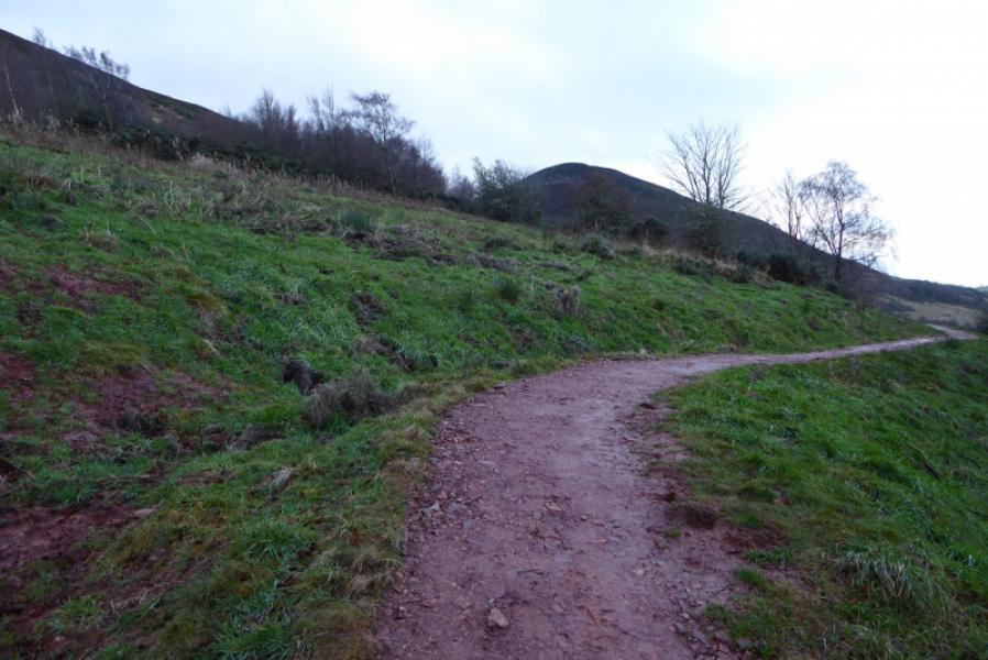
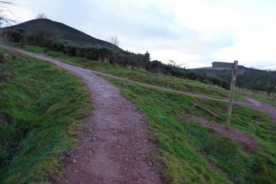
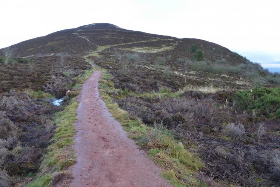
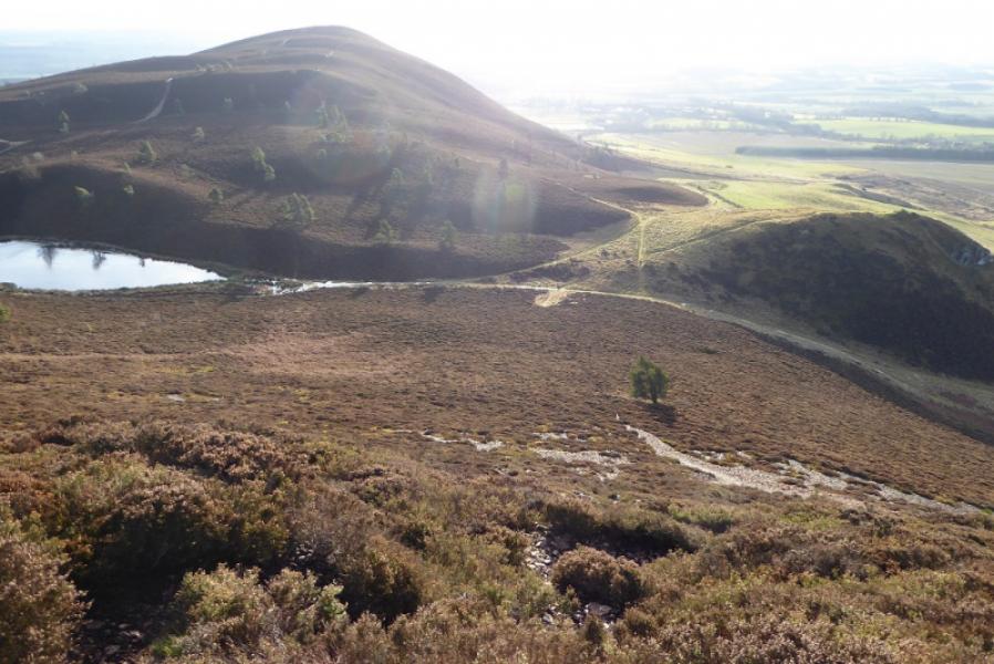
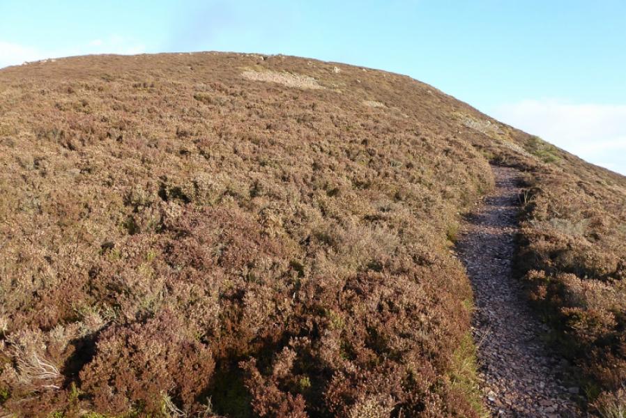
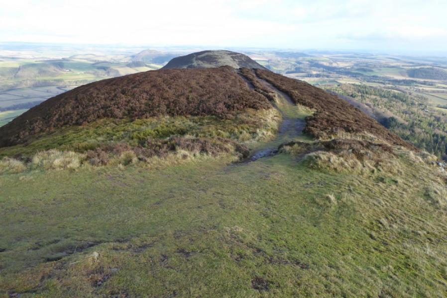
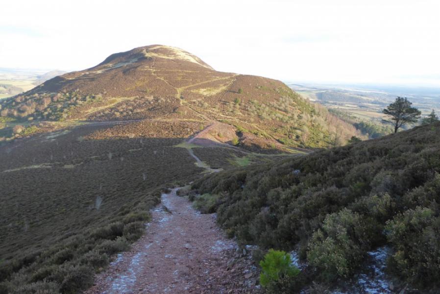
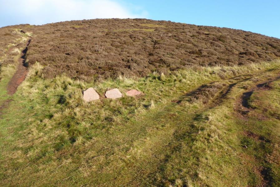
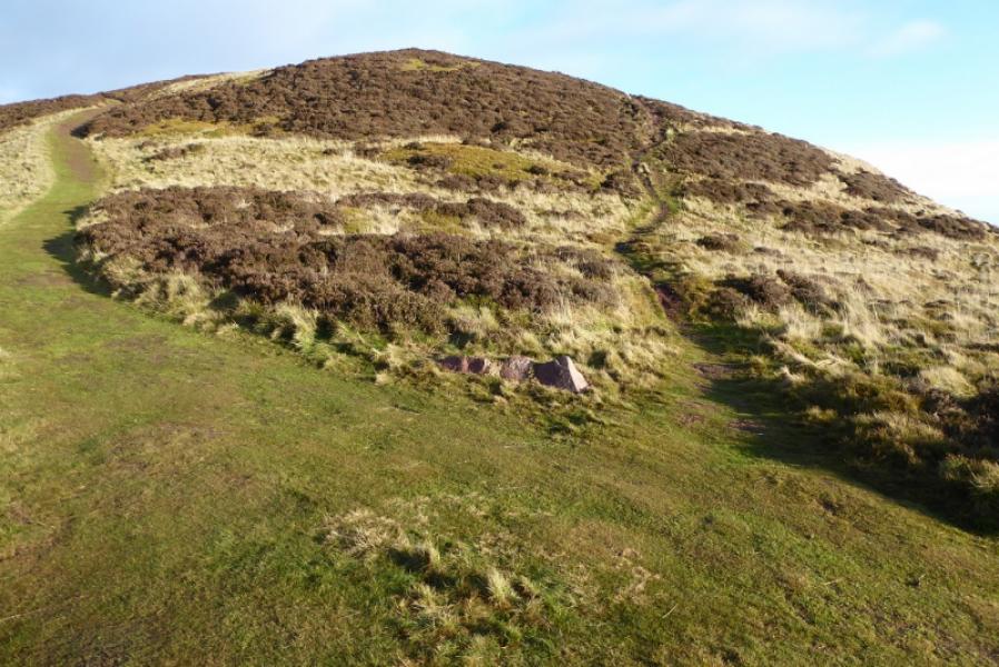
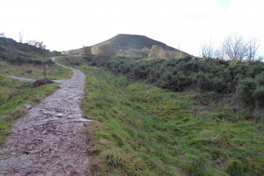
(1) Walk along the lane signed for the town centre. Reach the market square, cross over and take the next left (red telephone box on the corner) and head uphill, passing under the A6091. Soon after, almost at the end of the houses on the left, a sign on a lamp post says cross over then another sign, St. Cuthbert's Way, takes one between houses and across a stream. Ascend a long flight of wooden steps then follow a grassy path uphill. Cross a track and continue uphill to reach a sign post where ones goes right and almost level. Reach a path triangle and another signpost. Go left and ascend to the broad saddle between Eildon Hill North and Eildon Mid Hill. Cross the main path between these two hills and continue ahead on a grassy path. Soon after, fork right onto a lesser path which contours around Eildon Mid Hill. Follow this path to rejoin the main path then continue up onto the small plateau where there is a low cairn marking the summit of Eildon Wester Hill, 371 m.
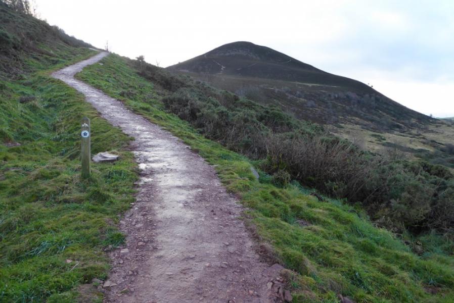
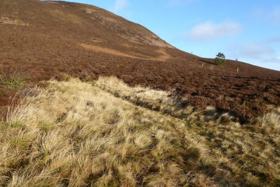
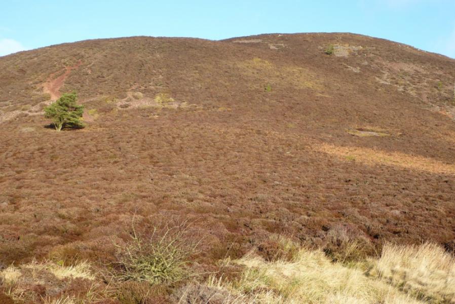
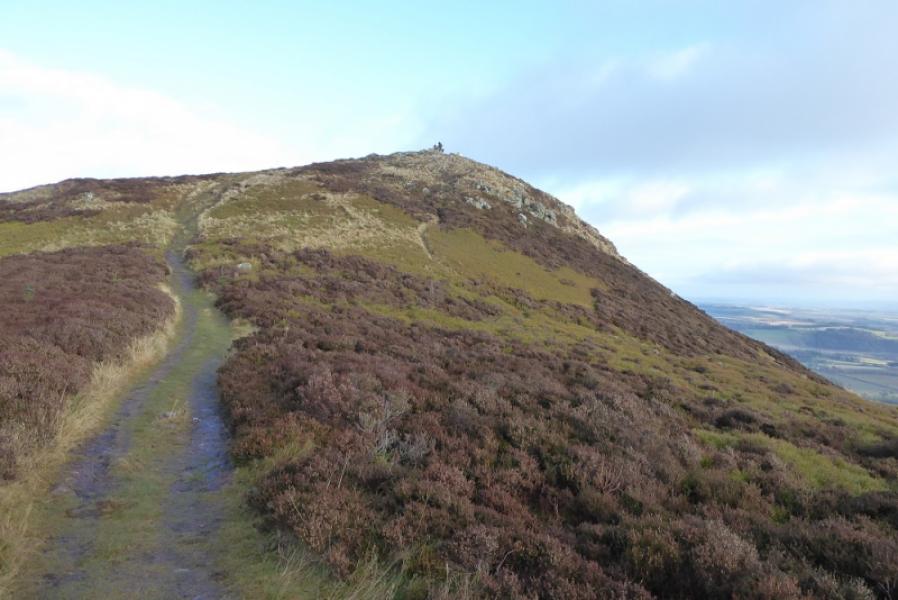
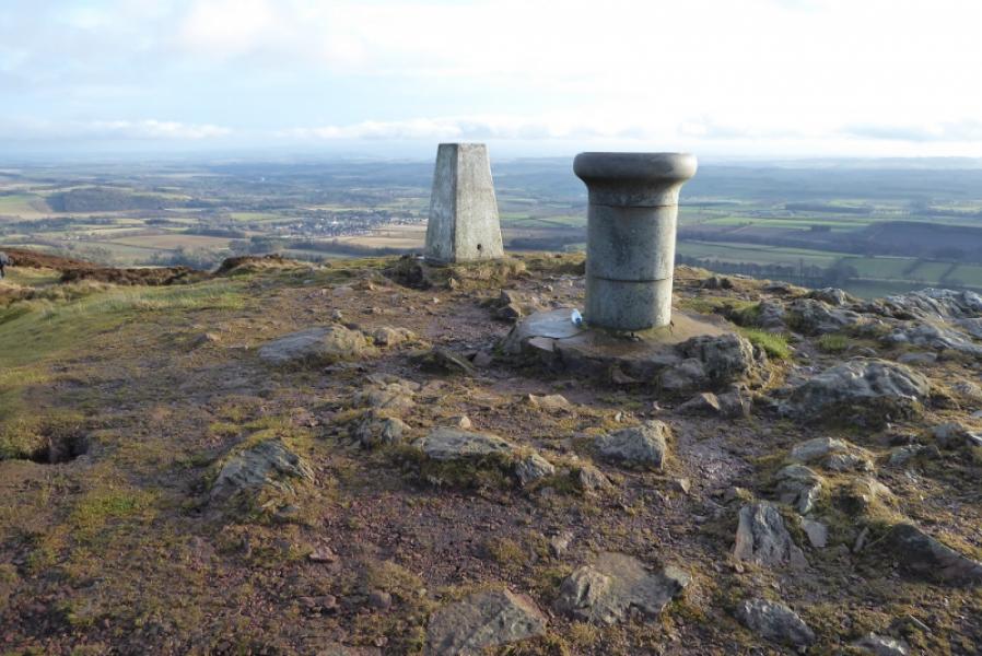
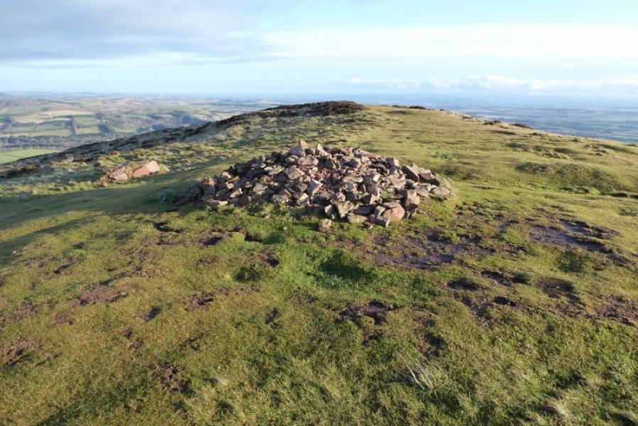
(2) Take a sharp right fork and descend on a good path towards the gap before Eildon Mid Hill. Reach the main path below the steep south flank of Eildon Mid Hill. There is a steep and loose path directly up past a tree which joins a much better path on the SW ridge higher up. Alternatively, go left passing to the N of Little Hill to reach the good path at the bottom of the SW ridge and follow it up. The SW ridge path tops out at a trig point and viewfinder cairn on the summit of Eildon Mid Hill, 422 m.
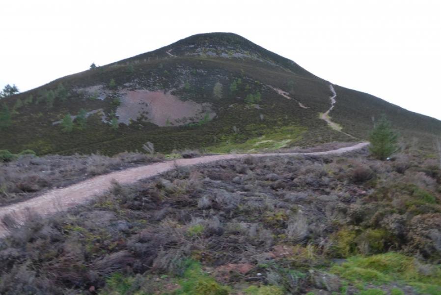
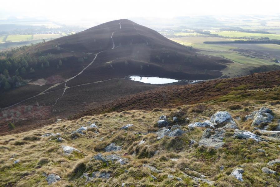
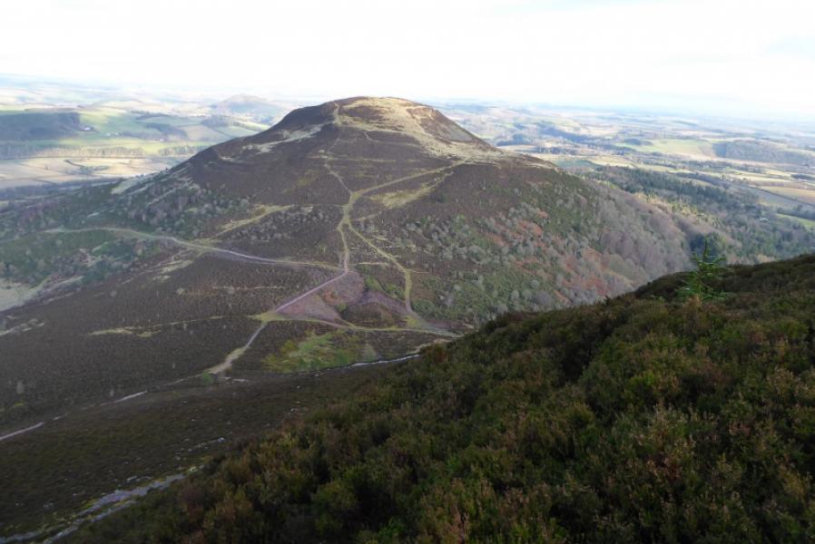
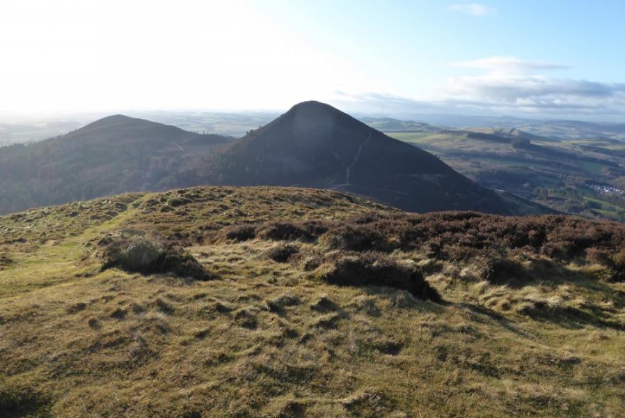
(3) Two paths lead down to the saddle before Eildon Hill North. The left, westerly, option is less steep but sections can be icy in winter as it sees little sun. Reach the saddle where the outward route is crossed and continue ahead up Eildon Hill North. The path splits and signs on rocks ask walkers to follow the main path rather than the lesser path on the right. They cross higher up anyway where there is another sign. Both paths meet again by the low cairn which is the summit of Eildon Hill North, 404 m.
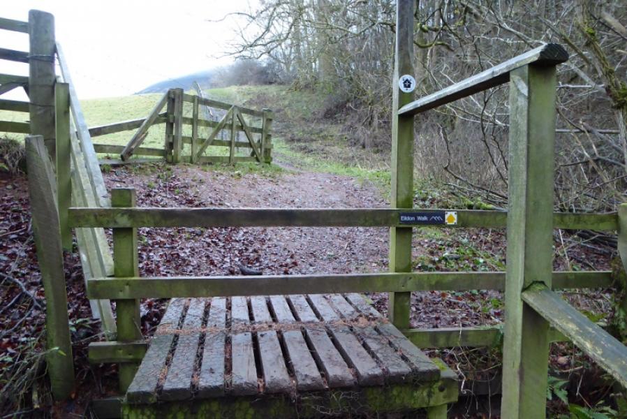
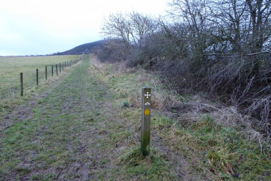
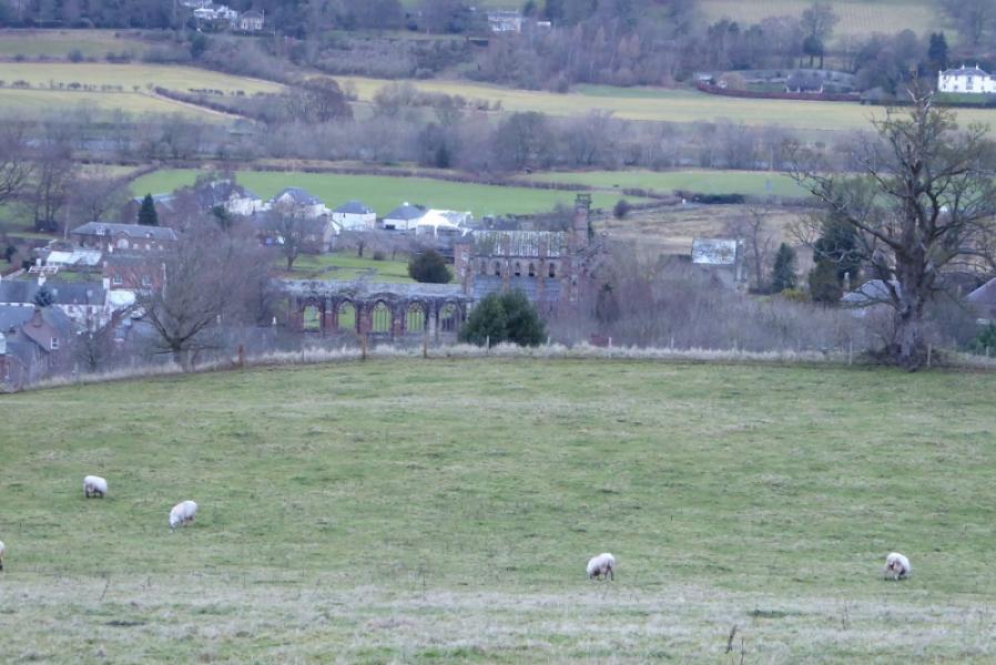
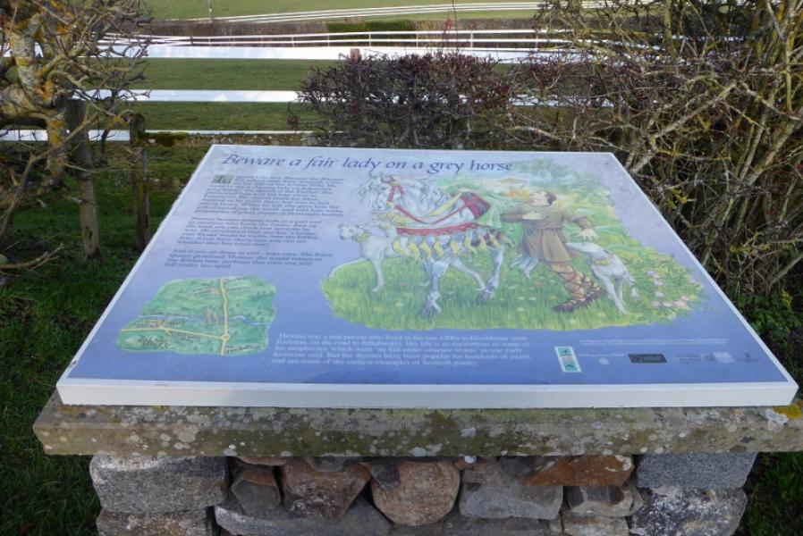
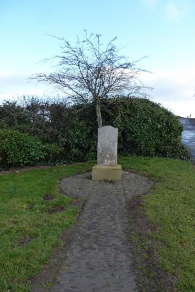
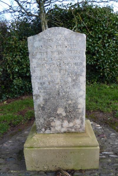
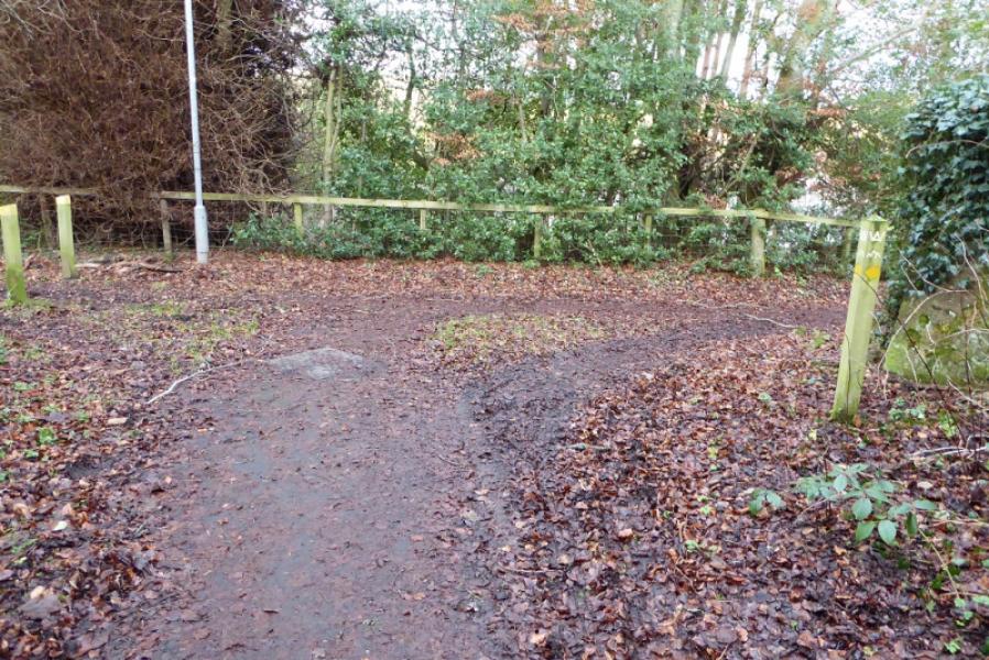
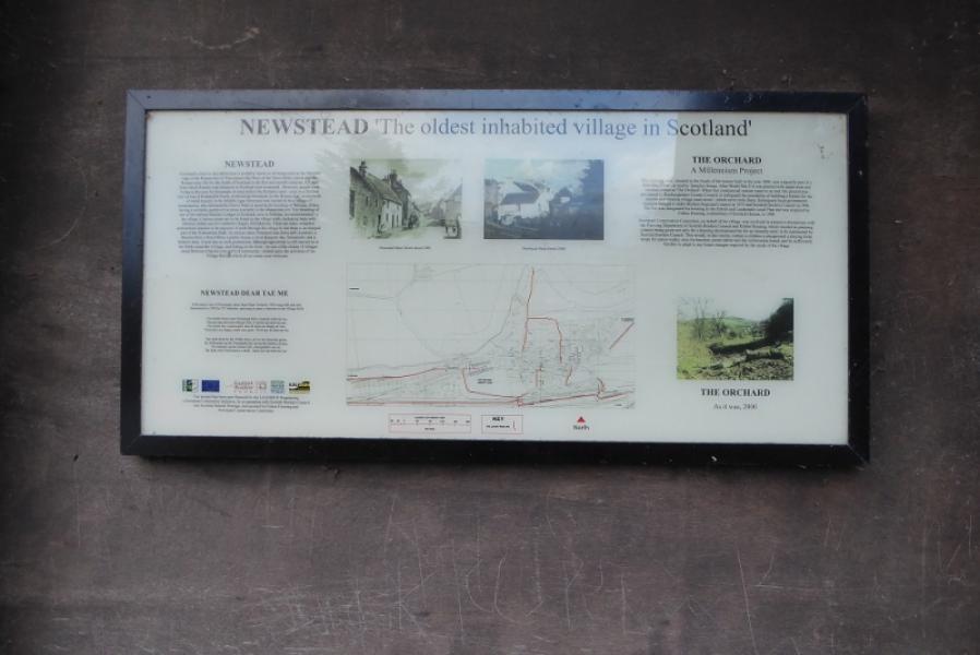
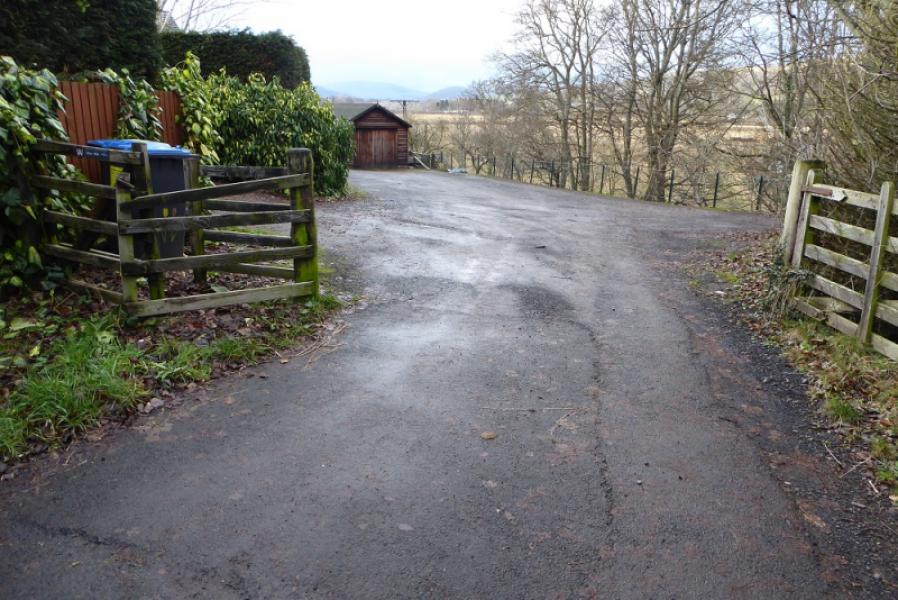
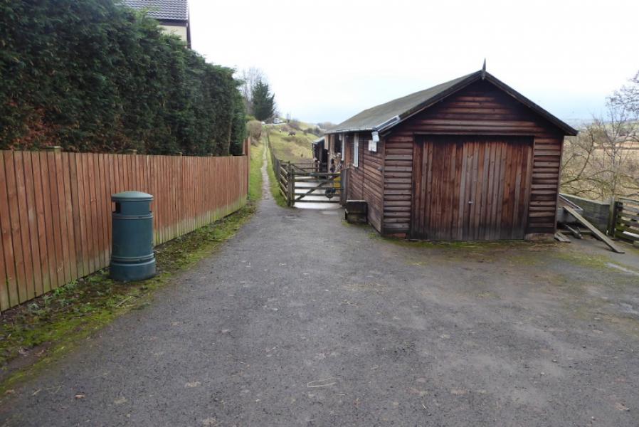
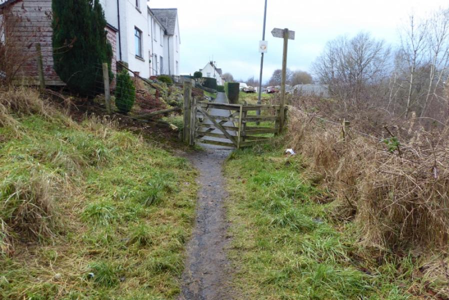
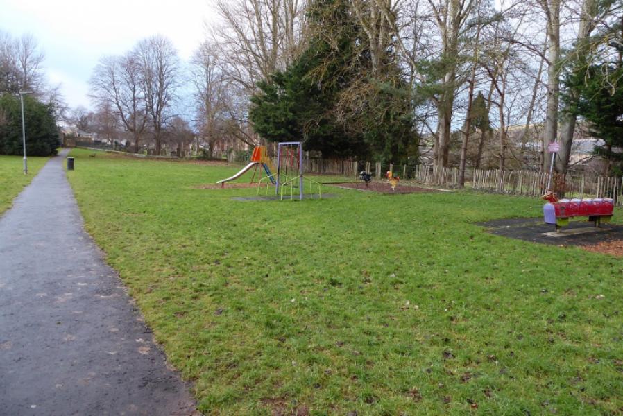
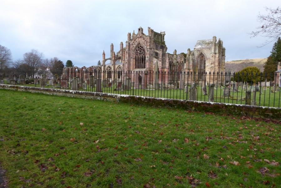
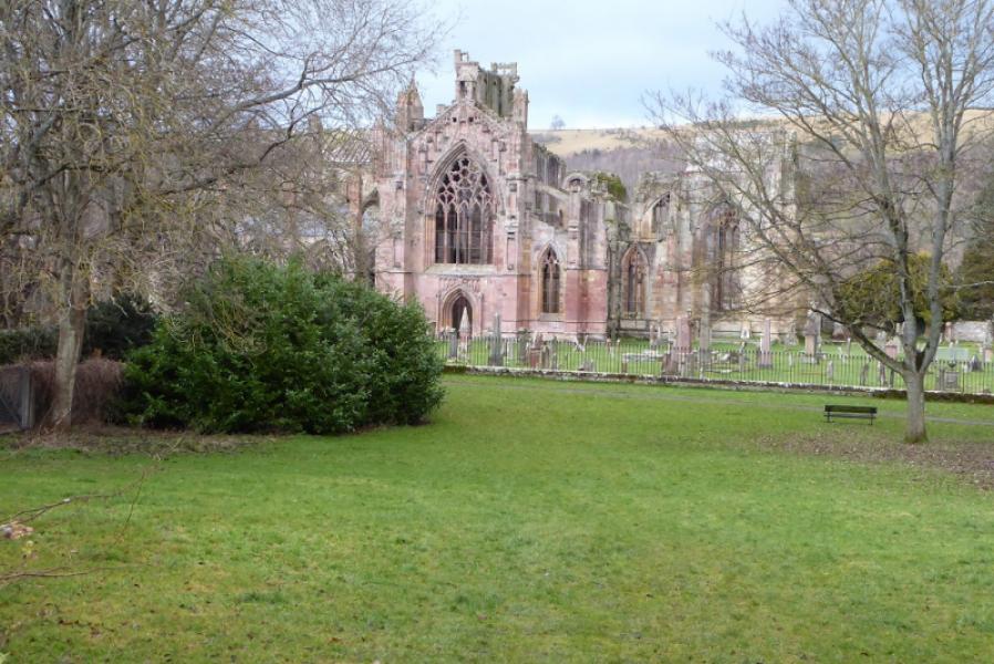
(4) Continue ahead on a fairly obvious path and start descending roughly ENE. This path can also be icy in winter. Lower down, the path is stepped which doesn't help in winter. Lower down the path zig-zags and eventually reaches a gate then continues to reach a minor road. Turn right and soon reach a plaque about Rhymer and the fairies. Soon after is a track on the left but best to continue past to reach Rhymer's Stone just before a bend. The stone looks like a gravestone. Retrace back to the track and follow it down to the A6091. If the road is busy, cross using the subway, on the right. Once across, follow the path to a T junction and go left where posts block access to vehicles. This path/track can be muddy but follow it to reach a sign about Newstead (Scotland's earliest inhabited village) just before the road. Turn left, then take the left fork (Dean Road, slightly uphill). Almost immediately, fork off right into a yard. Take the apth down the left of the sheds and follow it, below houses, to reach the start of a housing estate. Continue ahead, signed, then fork right, signed, further on. Follow this path through a grassed play area to reach the ruins of Melrose Abbey. Turn left at the bench and walk uphill to reach Nutwood car park.
Notes
(a) This walk took place on 17th December, 2019
Photos - Hover over photo for caption. Click on to enlarge. Click on again to reduce.