Get Lost Mountaineering
You are here: Ireland » South West » Dingle Peninsula
Ballysitteragh
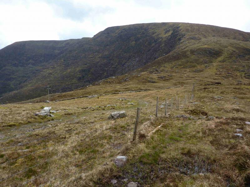
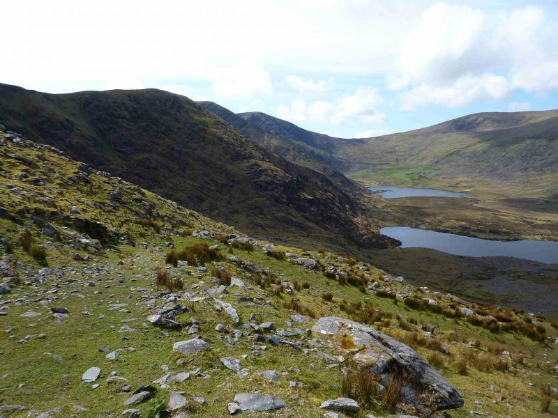
Ballysitteragh from the end of the minor road of the Pilgrims' Route.
Start/Finish
The end of the minor road – The Pilgrims' Route – which starts at Cloghane and finishes at Q 470 068 by a farmhouse behind an old ruin. There is limited parking for about three cars.
Distance/Time
11 km Approx 5 - 6 hours
Peaks
Ballysitteragh, 624 m, Q 461 057 (Irish National Grid System)
Beennabrack, c 600 m, c Q 478 054.
An Bhinn Dubh, 478 m, Q 484 056.
Irish OS Discovery Series Map 70 (1:50000)
Introduction
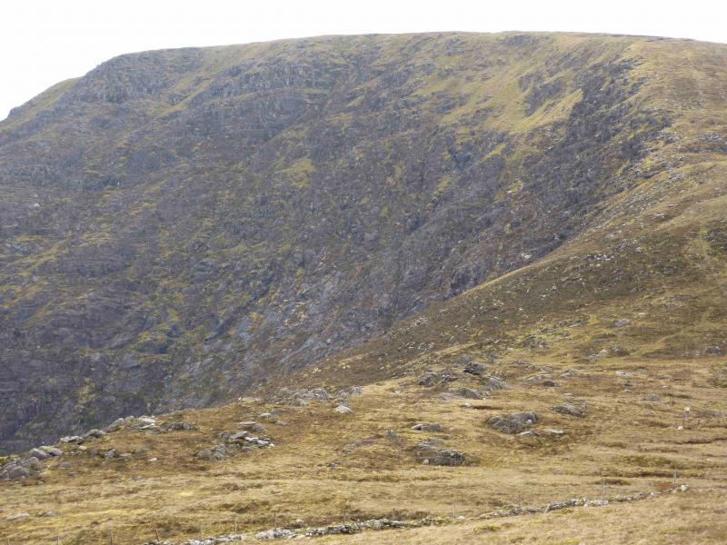
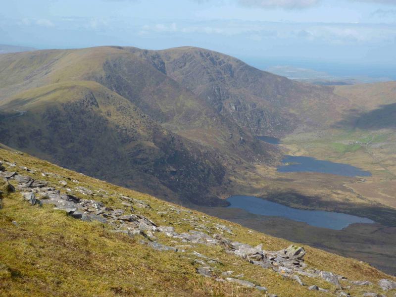
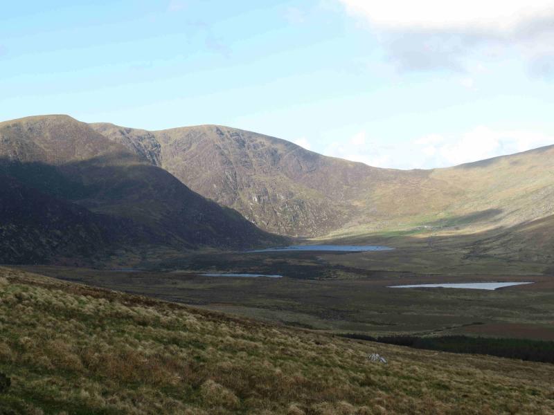
Ballysitteragh isan attractive mountain especially on its NE flank where very steep slopes drop to attractive lochs. This walk effectively covers the southern end of the long ridge over Brandon Mountain, Brandon Peak and Gearhane. It should be noted that the return from the top of the Connor Pass goes across some rough ground and crosses two stream which may be problematical in spate conditions. On the ridge, there are some wet and peaty sections but these are easily outflanked.
Route
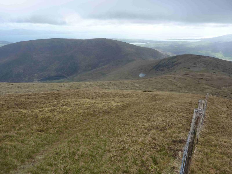
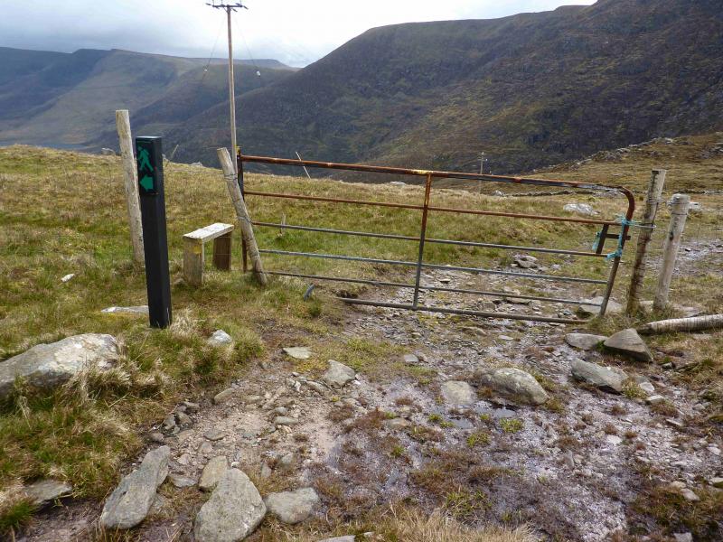
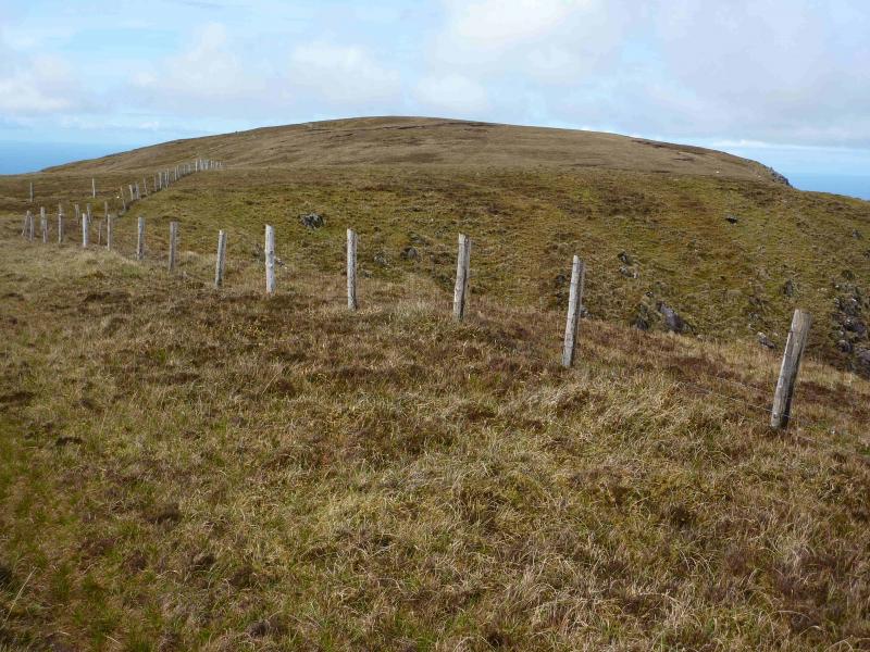
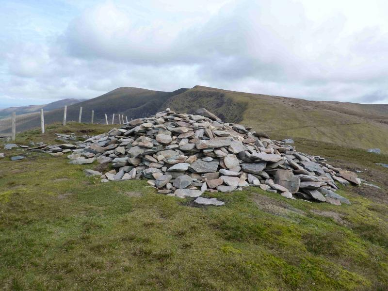
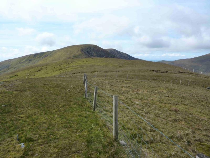
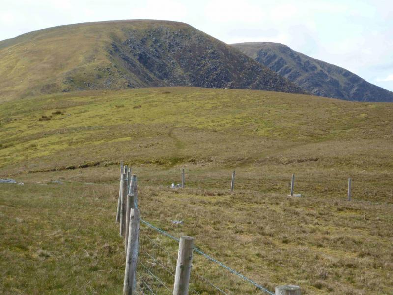
(1) From the end of the minor road, continue ahead up the track. Essentially, the route follows the line of telegraph poles but zig zags around. The track is not that well defined lower down but some stiles help with navigation. Higher up, it is very well defined. (Ignore the track going off to the right which heads towards the SW col of Gearhane.) The track eventually reaches the crest of the ridge from Gearhane to Ballysittaragh. Go through the gate (there is a footpath sign). Turn left, S, and follow the fence uphill, steep in places, on grassy slopes. The fence follows the edge and gradually curves around from S to SE so when the ground levels out, walk S for about 100 m looking for a small and very low cairn which marks the summit of Ballysitteragh, 624 m. A faint path also ascends to the summit if one leaves the fence lower down to head up the broad slopes.
(2) Descend about 40 m SE, on a faint path, to a broad col then ascend to the summit ridge of Beennabrack where there is no cairn.
(3) Descend about 150 m, generally E, still following the steep edge on the left, N, into a well defined col. The further one goes, the more defined the path becomes. Make a short ascent up to the large cairn cairn which marks the summit of An Bhinn Dubh, 478 m.
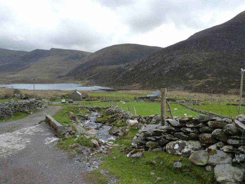
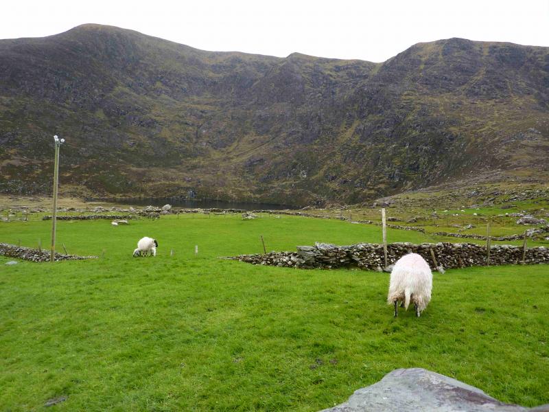
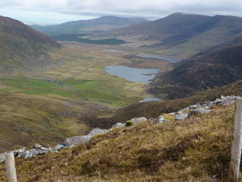
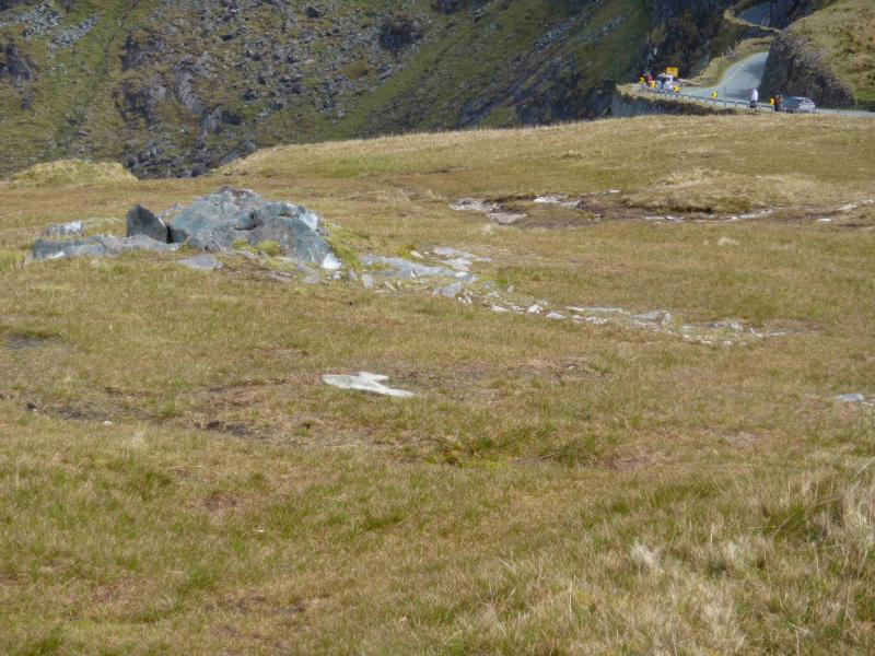
(4) Descend E on a path which is now a rough track to reach the car park at the top of the Connor Pass. Walk E down the road for about 1 km to reach a gate on the left. This gate may have to be climbed over to reach a track which is initially a small sheep enclosure with a gate at its other end. Continue down the track which is well defined higher up and zig zags down. Lower down, the track deteriorates and peters out by some walled enclosures above Clogharee Lough. Pick a way, over stony ground, around the N end of the Lough and cross its outflow near to the Lough. This is not normally difficult but may be problematical in spate conditions. Continue towards the minor road, aiming to cross the Cloghane River just above a small island where there are some stepping stones. This is the harder crossing and may be very awkward in spate conditions. Once across, aim for the road which has a barbed wire fence before it. If this is a problem, then walk W alongside the road until a gate is reached. Once on the road, walk back to the start. In spate conditions, it may be necessary to go around the S end of Clogharee Lough and around the S end of An Loch Geal before heading for the road.
Notes
(a) This walk took place on 23rd April, 2012.
(b) If two cars are available, one could be left at the top of the Connor Pass which would shorten the walk to about two hours.
(c)There is a very good camp and caravan site, near the village of Castlegregory, called the Anchor Caravan Site.. It is very well laid out with good facilities for campers including hot showers for a small extra charge. There is a good campers’ kitchen with tables and sinks if you have your own cooking equipment and pans as well as a fridge and freezer. There is also a sitting room with a TV. Castlegregory is on the N side of the Dingle Peninsula. From Dingle, go over the Connor Pass, then follow the coast road towards Tralee, past Castlegregory (excellent Spar shop here) until signs appear. If you reach a large petrol station/stores on the right, you have gone too far. At the bottom of this site is a gate from where a short path goes over a sand dune to the beach and Atlantic Ocean. Well equipped trailer vans are also available for hire.
Photos - Hover over photo for caption. Click on to enlarge. Click on again to reduce.