Get Lost Mountaineering
You are here: Ireland » South West » Dingle Peninsula
Brandon Mountain via Pilgrims' Route from Faha
Brandon Mountain by the Pilgrims’ Route from Faha
Start/Finish
Brandon Mountain (or Mount Brandon as some call it) is the only “Munro” on the Dingle Peninsula. Approaching Dingle from the E, turn right at the roundabout, on the outskirts of the town, and go over the Connor Pass. At the bottom, go left through the village of Cloghane and continue for about 1.5 miles to a crossroads where you turn left. Signpost does not say “Faha” but may say Brandon Mountain. Drive to end of road which is called Faha (no sign to say you are there!) and where there is parking for about 12 cars.
Distance/Time
10 km Approx 5 hours
Peaks
Brandon Mountain, 952 m, Q 461 116 (Irish National Grid System)
Irish OS Discovery Series Map 70 (1:50000)
Introduction
This is an easy ascent of Brandon Mountain with a good and obvious path which is way marked some of the way. You should be able to easily reset your GPS to the Irish National Grid System. Brandon Mountain is notorious for mist and has more misty days than even Ben Nevis so feel privileged if you have good weather.
Route
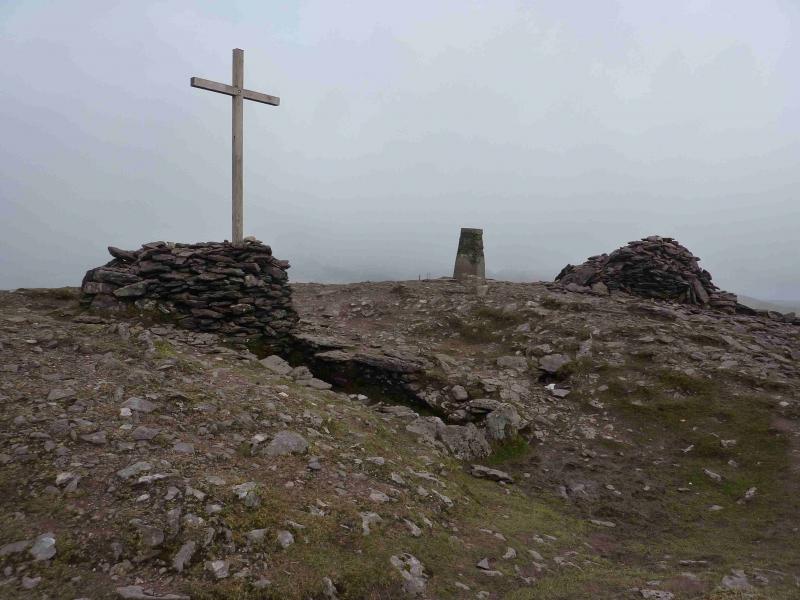
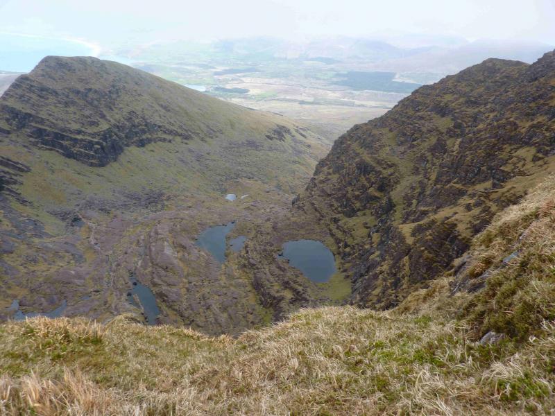
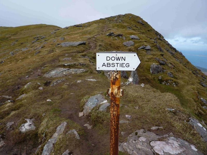
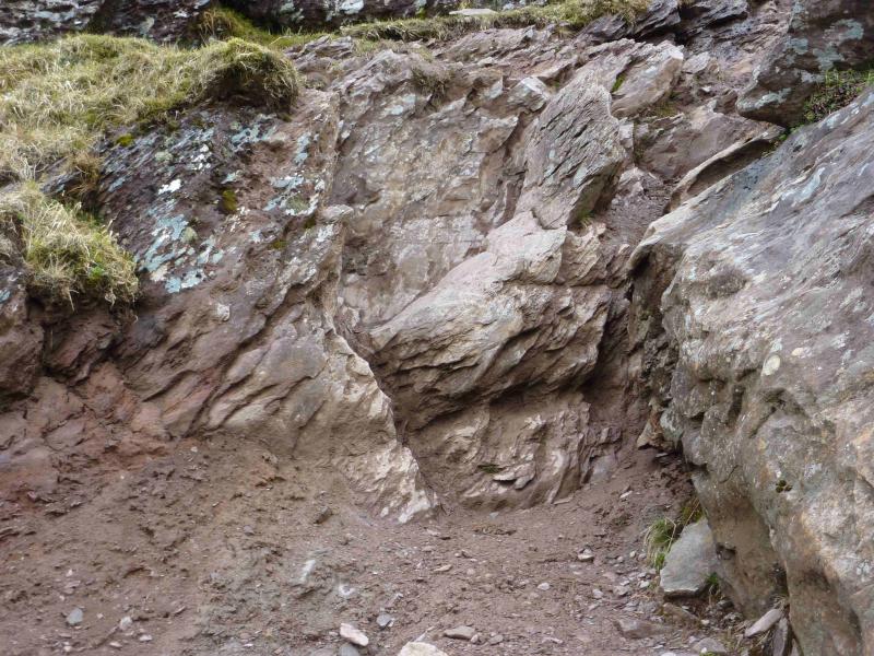
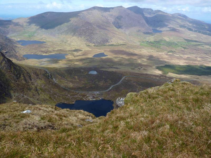
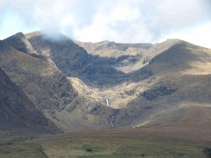
(1) Take the path at the top of the car park which is initially a track and goes behind the fairly new house to a gate then goes roughly NW to a large grotto. From there, an obvious path slants up towards the ridge on the right, N, but never quite reaches it. Soon white posts appear which mark a significant part of the route. The path gradually climbs into a corrie past a series of lovely little lakes known as the “Pater Noster (our father) Lakes” then climbs more steeply to the right of a buttress. A few parts of this section of path are showing signs of erosion so care is needed on the steeper sections. The steep path emerges on the summit ridge about 500 m N of the summit. Ascend the gently sloping summit ridge, with large drops on the left, E, to reach the top. The summit of Brandon Mountain, 952 m, has a large cross set in a large cairn with a rectangular hollow on one side, a trig point and another large cairn.
(2) Retrace the outward route.
Notes
(a) This walk took place on 18th July, 2010, 21st and 22nd April, 2012.
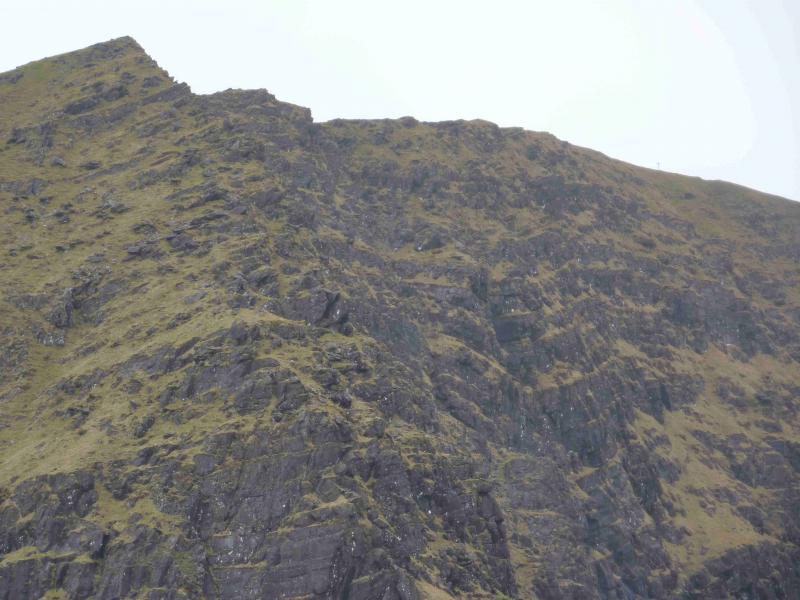
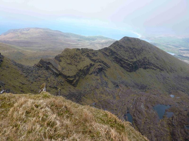
(b) An alternative and more sporting ascent is to gain the crest of the ridge on the right referred to above. This becomes increasingly rocky with a knife edge crest at one point. The rock gets very slippery in the wet. Some may wish to drop below the knife edge crest on the right but the local topography can be confusing in mist when one tries to regain the ridge and it is easy to go astray. In good weather it is easy to continue around the corrie rim and pick up the route described above.
(c) There is a very good camp and caravan site, near the village of Castlegregory, called the Anchor Caravan Site.. It is very well laid out with good facilities for campers including hot showers for a small extra charge. There is a good campers’ kitchen with tables and sinks if you have your own cooking equipment and pans as well as a fridge and freezer. There is also a sitting room with a TV. Castlegregory is on the N side of the Dingle Peninsula. From Dingle, go over the Connor Pass, then follow the coast road towards Tralee, past Castlegregory (excellent Spar shop here) until signs appear. If you reach a large petrol station/stores on the right, you have gone too far. At the bottom of this site is a gate from where a short path goes over a sand dune to the beach and Atlantic Ocean. Well equipped trailer vans are also available for hire.
Photos - Hover over photo for caption. Click on to enlarge. Click on again to reduce.