Get Lost Mountaineering
You are here: Ireland » South West » Dingle Peninsula
Brandon Mountain via the Saints' Route from the West
Brandon Mountain by the Saints’ Route
Start/Finish
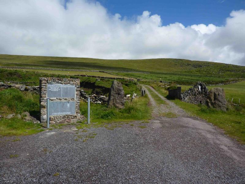
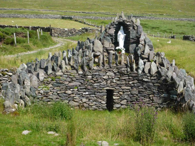
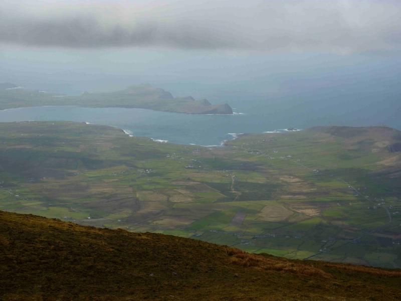
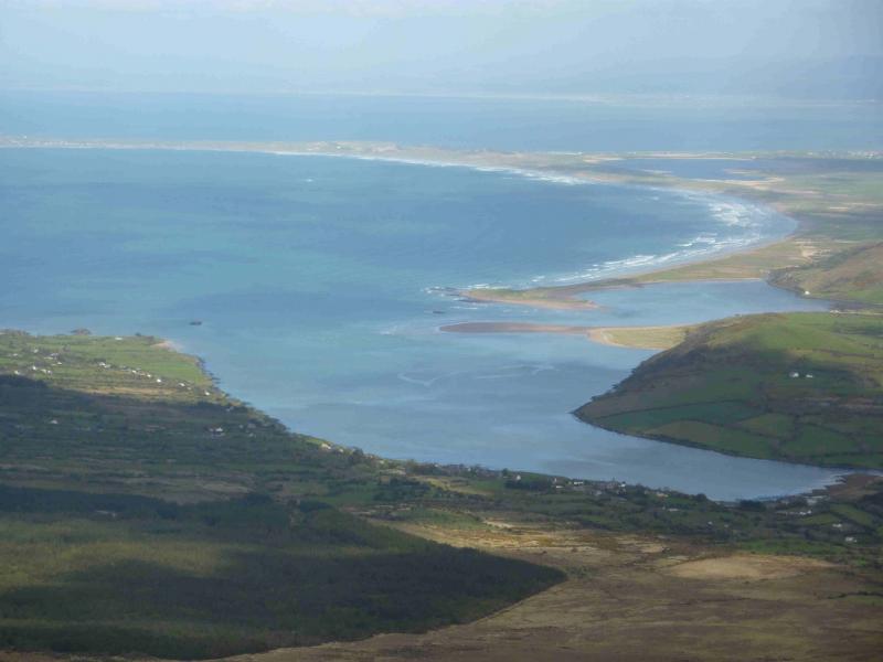
Brandon Mountain (or Mount Brandon as some call it) is the only “Munro” on the Dingle Peninsula. Approaching Dingle from the E, turn left at the roundabout (Connor Pass is right, ahead is no entry). Follow the road around the sea front to a roundabout (where left goes over a river). Go straight across the roundabout and follow a long road over the top of a low pass from where the sea should be visible ahead. Cross a minor diamond crossroad. About 300 m further on, fork right – signposted “Mount Brandon” and follow a narrow minor road to its end where there is usually plenty of parking. Here there is a notice about the Saints Road and a plaque on the left with a large grotto on the right just over a bridge.
Distance/Time
7 km Approx 4 hours
Peaks
Brandon Mountain, 952 m, Q 461 116 (Irish National Grid System)
Irish OS Discovery Series Map 70 (1:50000)
Introduction
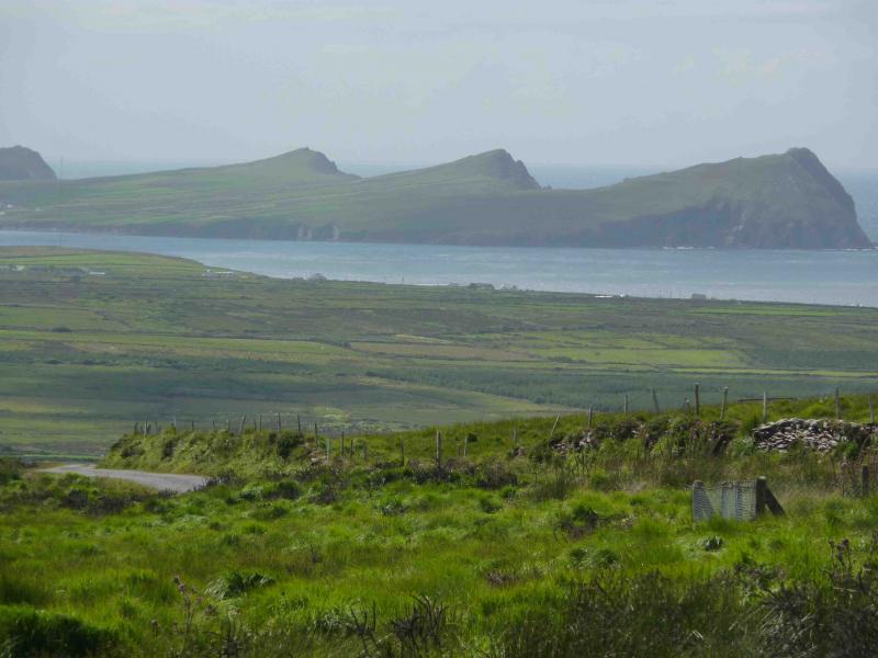
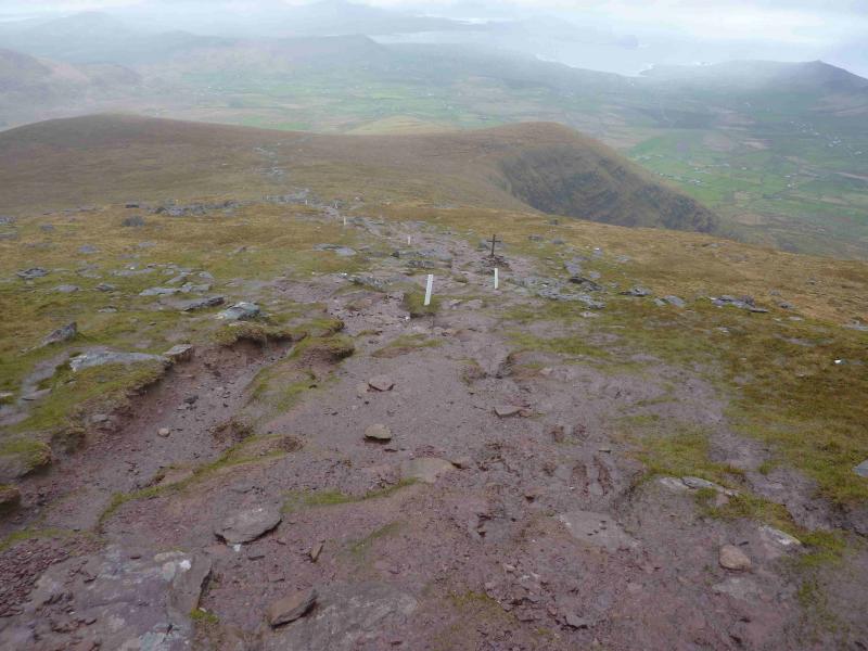
This is the quickest and easiest ascent of Brandon Mountain with a good and obvious path which is waymarked all of the way. You would have to be an aegid and a half to get lost on this walk! No, make that a double aegid. No, make it a triple aegid! You should be able to easily reset your GPS to the Irish National Grid System. Brandon Mountain is notorious for mist and has more misty days than even Ben Nevis so feel privileged if you have good weather. Unfortunately, the path is becoming increasingly eroded especially as it becomes a stream in wet weather which is accelerating the erosion but nowhere is it steep or exposed.
Route
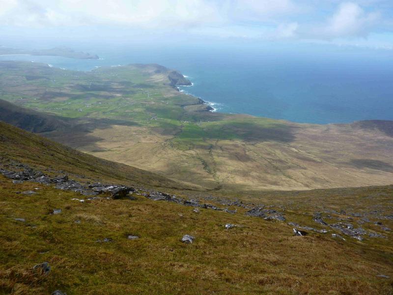
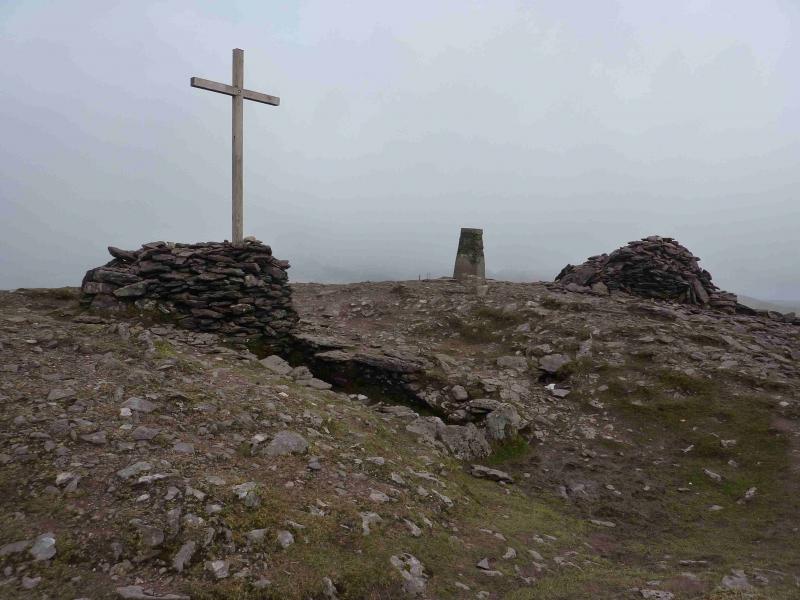
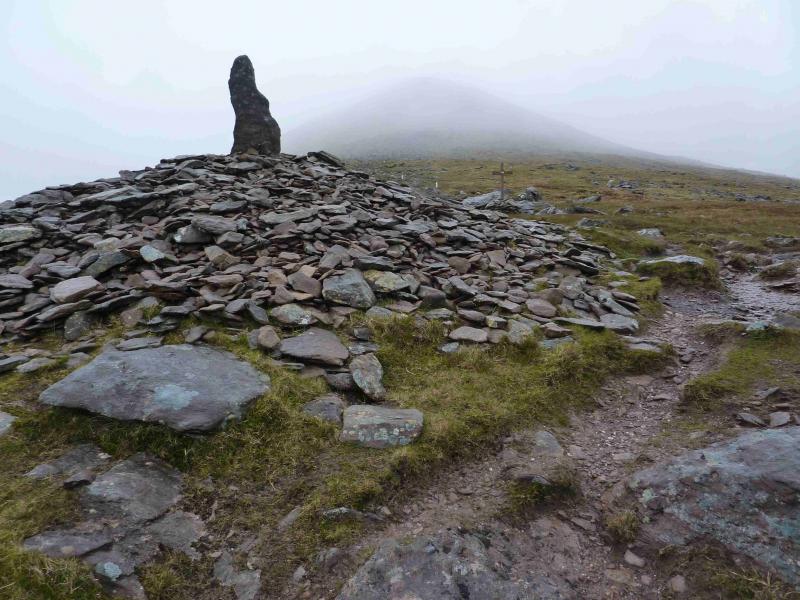
(1) Followthe obvious track, which is a continuation of the road and follows the right bank of the stream crossed by the grotto and soon becomes a footpath after passing through a gate. Short white marker posts appear which soon lead across the stream (easily crossed) then continue up its left bank beyond where the stream eventually peters out. A cross numbered “I” (roman for “1”) is passed. There are 15 such number crosses with number 15 (not actually numbered) being the summit. The white markers lead all the way to the summit. Higher up, the path passes to the right of and below the crest before cutting back to the summit. The crosses start to get closer apart from 14 to 15 which are some distance apart. The summit of Brandon Mountain, 952 m, has a large cross set in a large cairn with a rectangular hollow on one side, a trig point and another large cairn.
(2) Retrace the outward route.
Notes
(a) This walk took place on 16th July, 2010.
(b) In clear weather, you might consider descending down the SW ridge until you reach the marker posts.
(c) There is a very good camp and caravan site, near the village of Castlegregory, called the Anchor Caravan Site.. It is very well laid out with good facilities for campers including hot showers for a small extra charge. There is a good campers’ kitchen with tables and sinks if you have your own cooking equipment and pans as well as a fridge and freezer. There is also a sitting room with a TV. Castlegregory is on the N side of the Dingle Peninsula. From Dingle, go over the Connor Pass, then follow the coast road towards Tralee, past Castlegregory (excellent Spar shop here) until signs appear. If you reach a large petrol station/stores on the right, you have gone too far. At the bottom of this site is a gate from where a short path goes over a sand dune to the beach and Atlantic Ocean. Well equipped trailer vans are also available for hire.
Photos - Hover over photo for caption. Click on to enlarge. Click on again to reduce.