Get Lost Mountaineering
You are here: England » Lincolnshire » Lincoln Area Walks » From Skellingthorpe
Walk 16 Sustrans (E), Ferry Lane & Centre
Walk 16 Sustrans (E), Ferry Lane & Centre
Start/Finish
Skellingthorpe community centre where there is usually ample free parking. This is most easily reached from the Skellingthorpe roundabout on the A46 Lincoln bypass. Take the road into Skellingthorpe and the car park is roughly where the cycle track from Lincoln crosses the road.
Distance/Time
5 km/3 miles About an hour plus
Introduction
This route is on the eastern side of Skellingthorpe. It follows the sustrans track towards Lincoln but turns left just before it meets the bypass then follows a drain to Ferry Lane before returning to the village and visiting St. Lawrence's Church and the village centre which si taken to be the triangle by the Co-Op. It is quite an easy route to follow.
Route
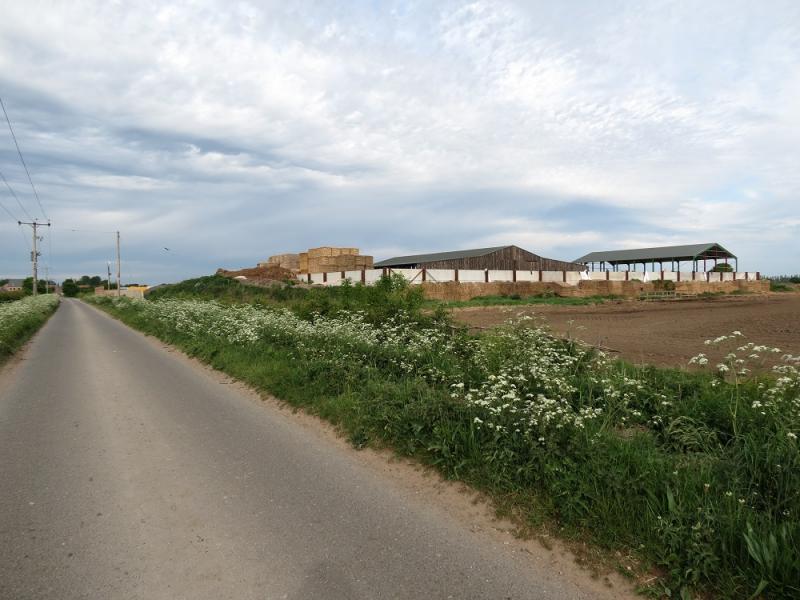
(1) From the community centre car park walk cross Lincoln Road and follow the sustrans track towards Lincoln. Follow it all the way down, crossing Catchwater Drain, passing the Poppies Wall then crossing a main drain just before reaching a T junction close to the bypass. Turn left and follow the rough track, alongside the drain, until it reaches Ferry Lane, a tarmac road, by the sewage works.
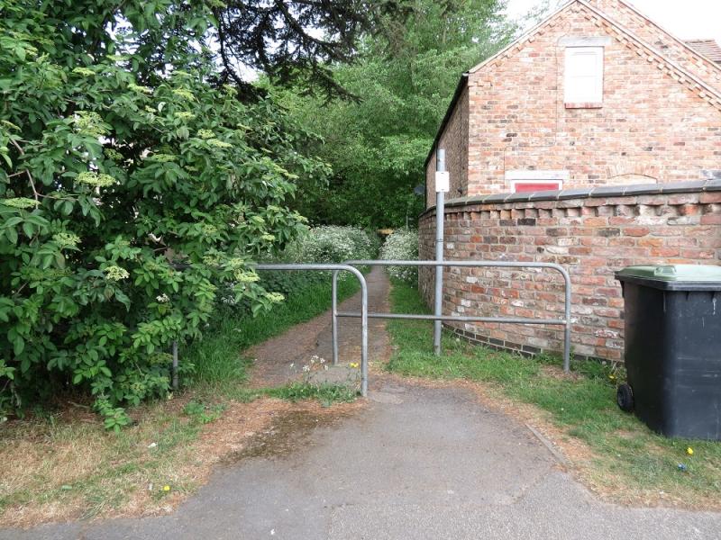
(2) Turn left and follow Ferry Lane towards new houses, still under construction in 2020. Take the only left turn and follow the road round to the right where it becomes Church Lane. Follow this to St. Lawrence's Church and go down the footpath by the side of the church. This emerges on the back road to Saxilby. Turn left and follow the road into the village going left at the obvious bend. Pass the Plough Inn and reach the triangle by the Co-Op. Continue ahead, cross the road and take the path which leads through the playing fields back to the Community Centre.
Notes
(a) This walk took place in May, 2020.
Photos - Hover over photo for caption. Click on to enlarge. Click on again to reduce.


![]()
![]()
![]()
![]()
![]()
![]()
![]()
![]()
![]()
![]()
![]()
![]()
![]()