Get Lost Mountaineering
You are here: England » Peak District » Kinder, Mam Tor ridge, Rushup Edge, Brown Knoll & Win Hill from Edale
Grindsbrook Clough & Grindslow Knoll from Edale Village
Grindsbrook Clough & Grindslow Knoll from Edale Village
Start/Finish
Edale village car park which, coming from Hope, is on the Edale road just before the turn off to Edale village. The turn off for Edale from Hope, from The Hathersage to Castleton road, A625, is not that obvious and easy to miss. It is a right turn opposite a church on the left on the eastern end of Hope. The car park is expensive but there are toilet facilties. Out of season, there is very limited parking in the village by the school and pub.
Distance/Time
7 km. About 3 hours
Peaks
Grindslow Knoll, 601 m, SK 109 868. OS 1:50 000 Sheet 110: Sheffield & Huddersfield
OS Outdoor Leisure 1: Dark Peak.
Introduction
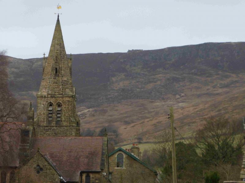
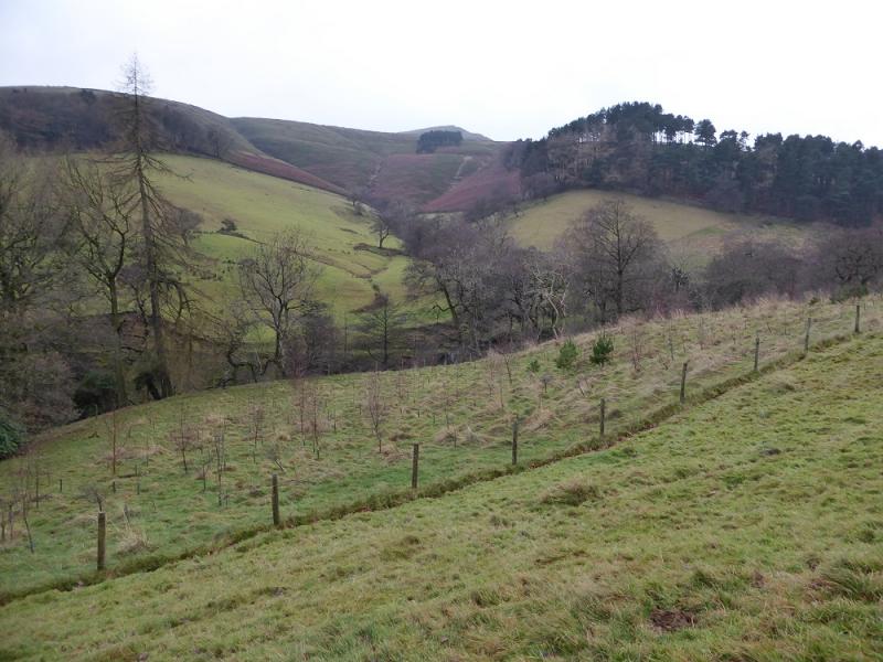
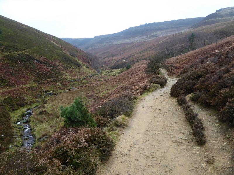
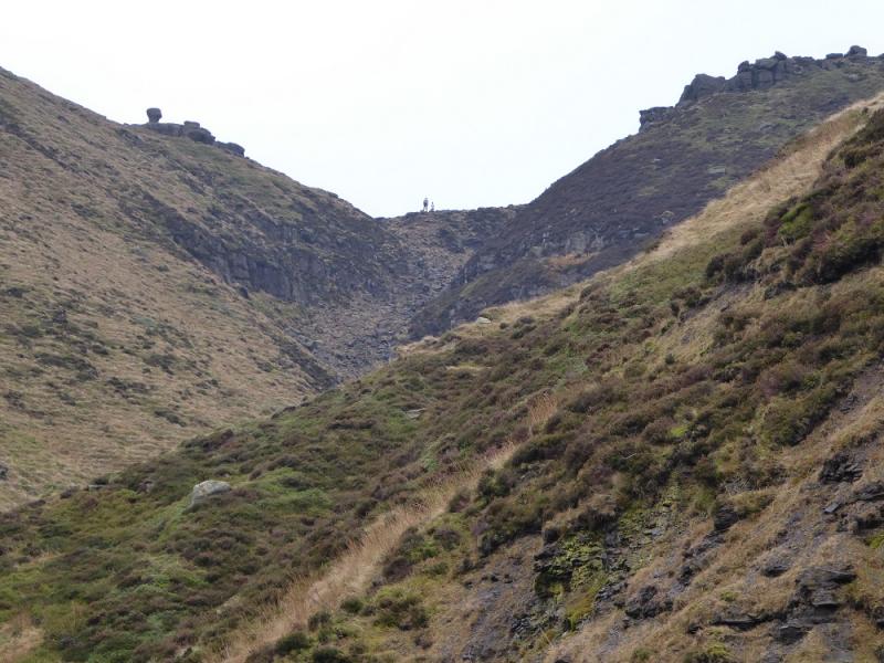
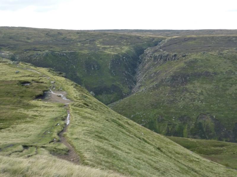
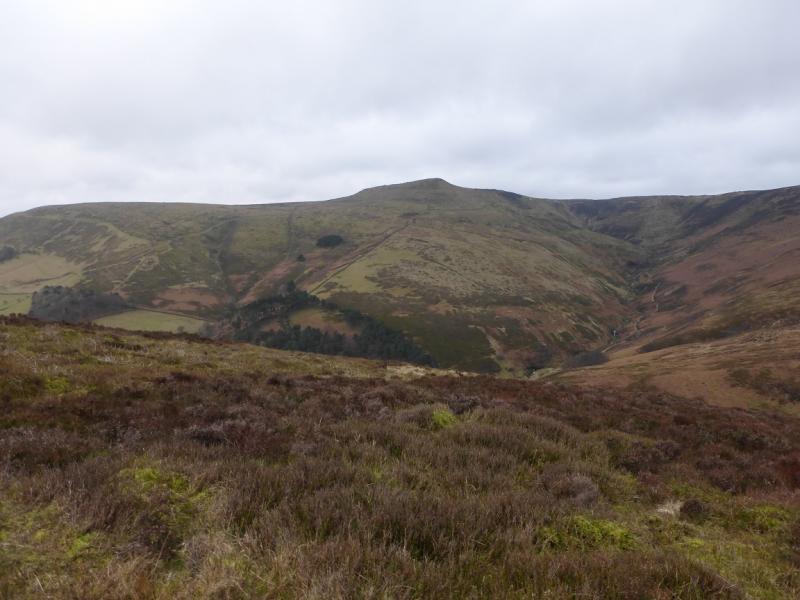
This is a short but rough walk which is not too difficult to navigate in bad weather although the stream in Grindsbrook Clough has to be crossed a few times and may be awkward after rain. There are good views which include the Mam Tor ridge and Winn Hill. Walking up the road towards Edale village puts Nether Tor in direct line of vision. From a distance, this resembles a steam engine similar to that in the pioneering wild west. This route takes a direct route up a loose, stony gully near the top of Grindsbrook Clough. The route up Grindsbrook Clough used to be the original Pennine Way.
Route
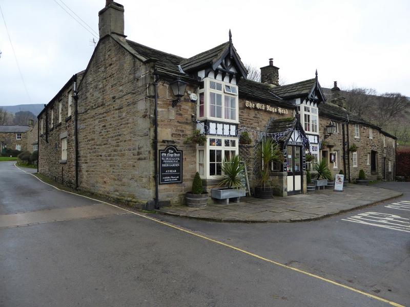
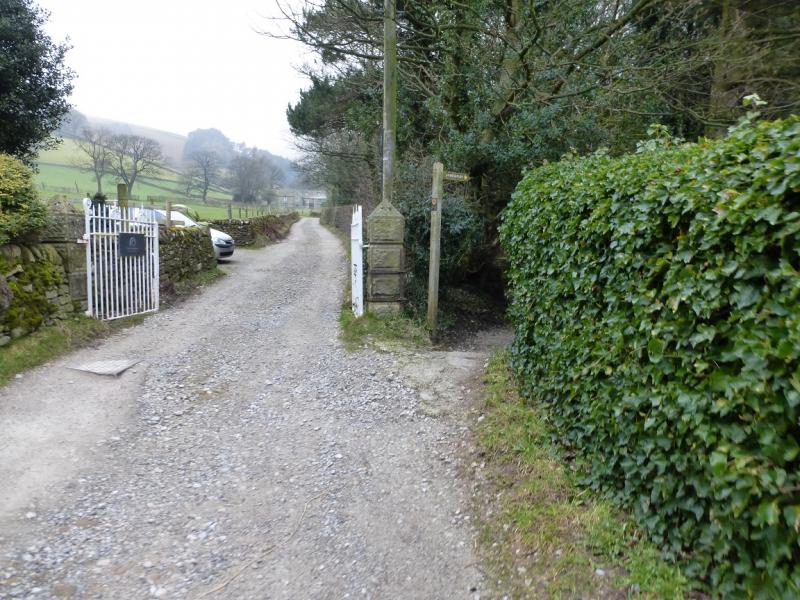
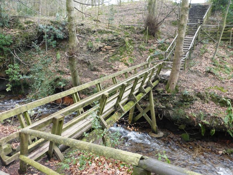
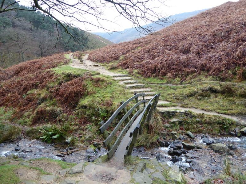
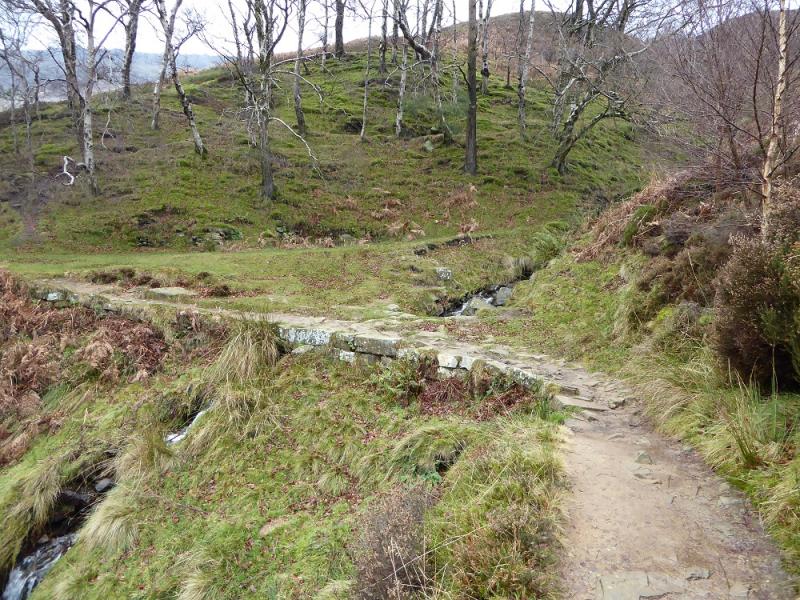
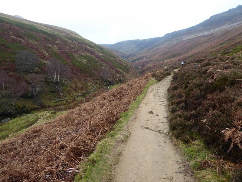
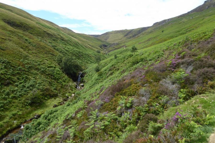
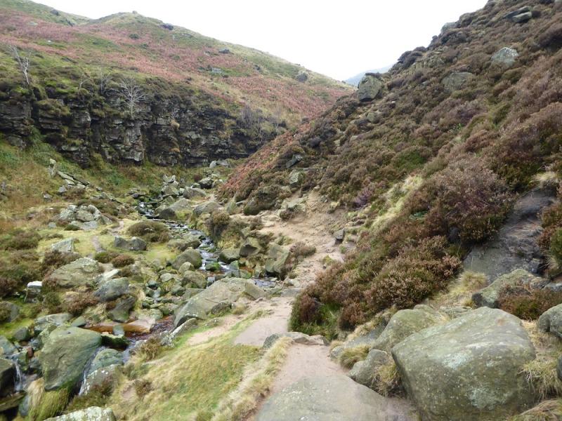
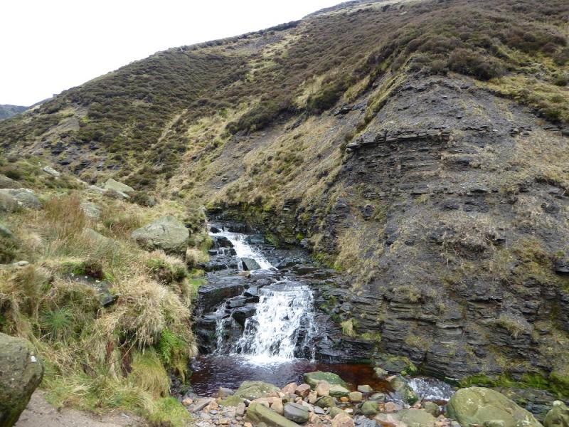
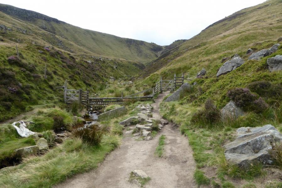
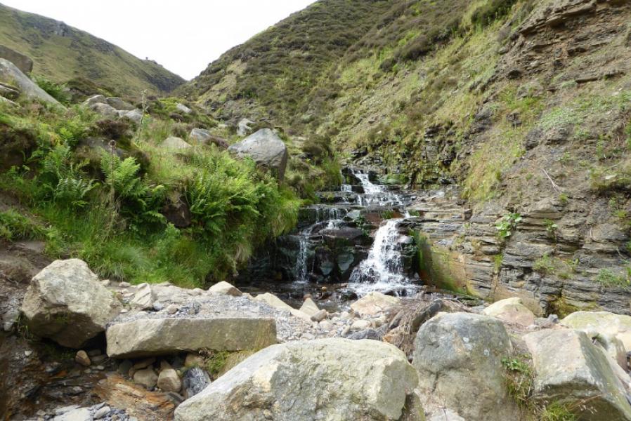
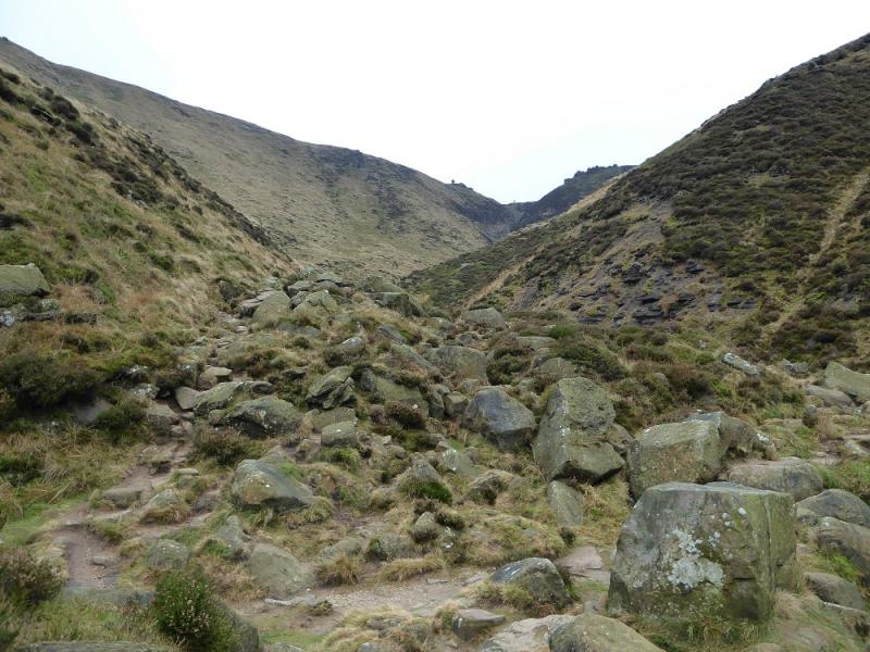
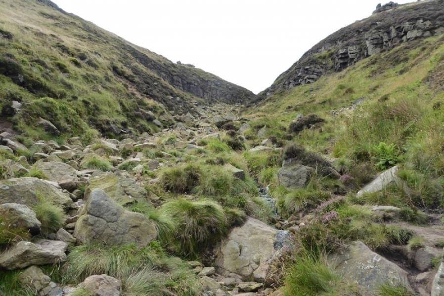
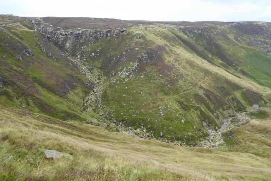
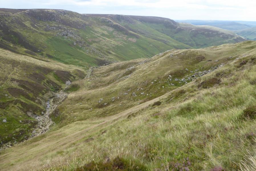
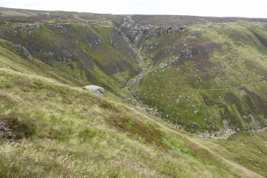
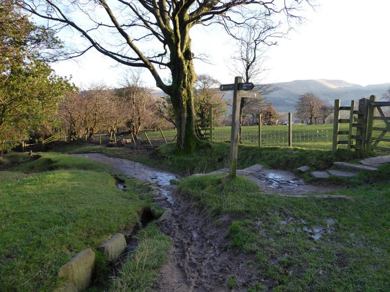
(1) From the car park, walk up the minor road into Edale village passing under the railway and past the church. At the Nag's Head, go straight as far as is allowed until a sign directs one down to a narrow bridge over a stream. Continue on the other side to a stone shed where the path splits. Take the lower left fork and follow it to another small bridge at the foot of Golden Clough which is on the right. The route up Grindsbrook Clough goes straight ahead cross the bridge and follow the obvious path up. This is good to start with but, higher up, is very rough and stony making for slow going. The path isn't always easy to follow and the stream has to be crossed a few times. The clough splits much higher up with the path going up the left fork which is more like straight on. Reach the edge path which crosses the top of the steep part of the clough (the shallower clough goes right, north, and continues into the plateau).
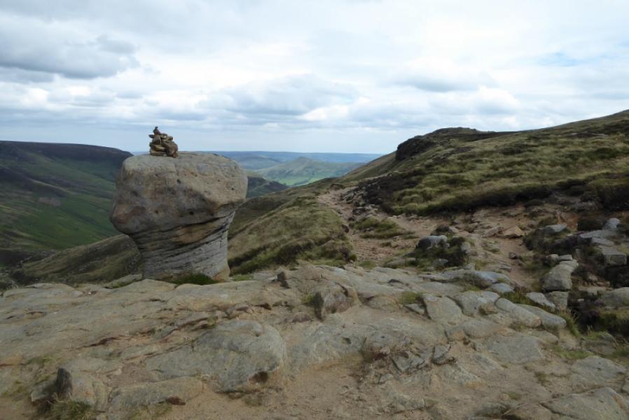
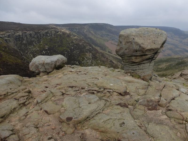
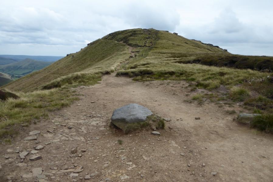
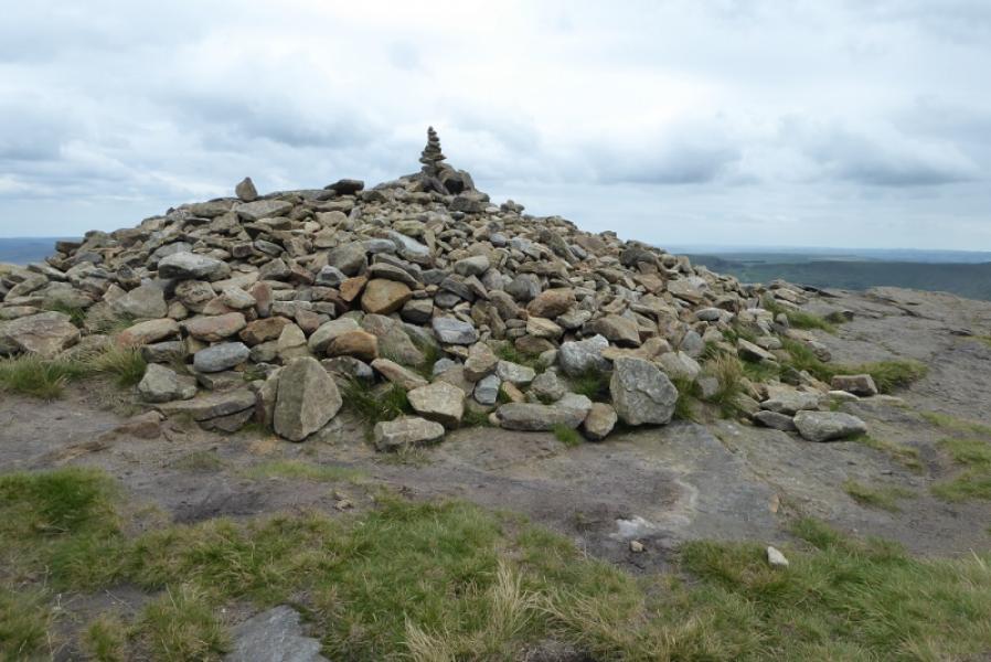
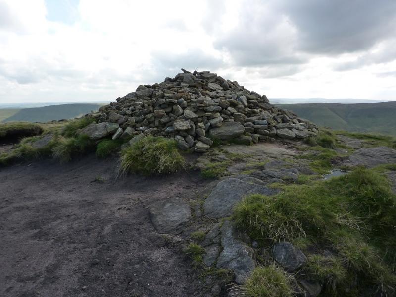
(2) Once on the edge path overlooking Grindsbrook Clough, head roughly south east, passing a prominent rock (a bit like a damaged mushroom!) and continue up until a more direct route goes up a grassy ramp towards the summit which is marked a wide but low pile of stones. This is Grindslow Knoll, 601 m.
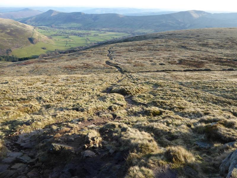
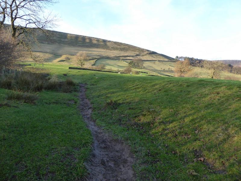
(3) Look for a path going roughly east from the summit and follow it for a short distance to rejoin the path left below the summit. Note that the path you rejoin is not seen from the summit. Do not head south along the ridge following that path which is visible from the summit. Once you have rejoined the path, it is rough and stony but very easy to follow and leads down to a grassy field. Head south east across the field to join the Pennine Way behind a line of trees. Turn left, east, and follow the Pennine Way to its start close to the Nags Head. Retrace down the road back to the car park.
Notes
(a) This walk took place on 22nd July, 2020.
Photos - Hover over photo for caption. Click on to enlarge. Click on again to reduce.