Get Lost Mountaineering
You are here: Ireland » South » Galtymore Mountains & North Tipperary
Galtybeg, Galtymore & Loch Curra from Clydagh Bridge
Galtymore from Clydagh Bridge
Start/Finish
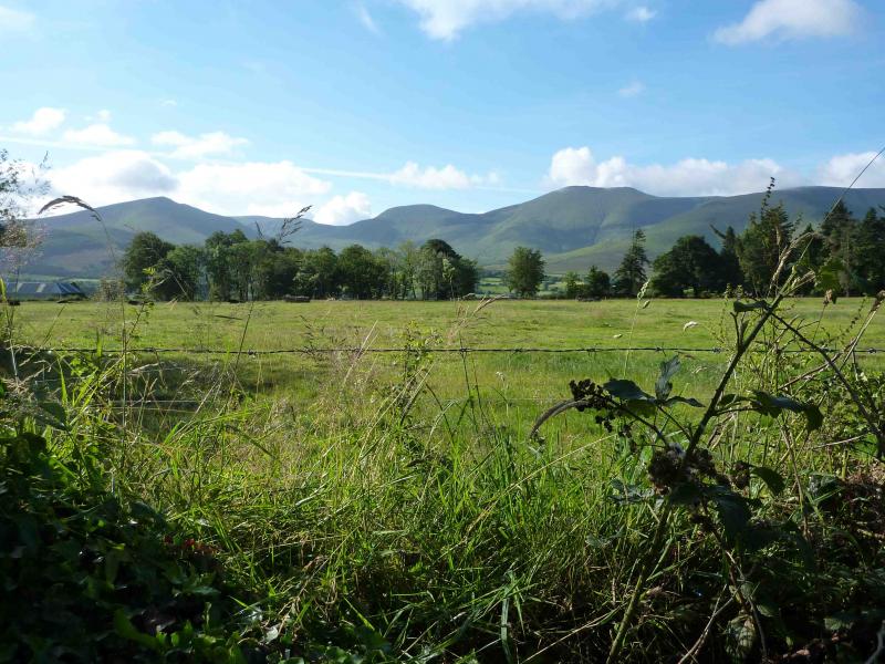
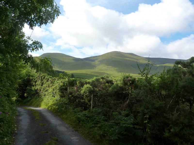
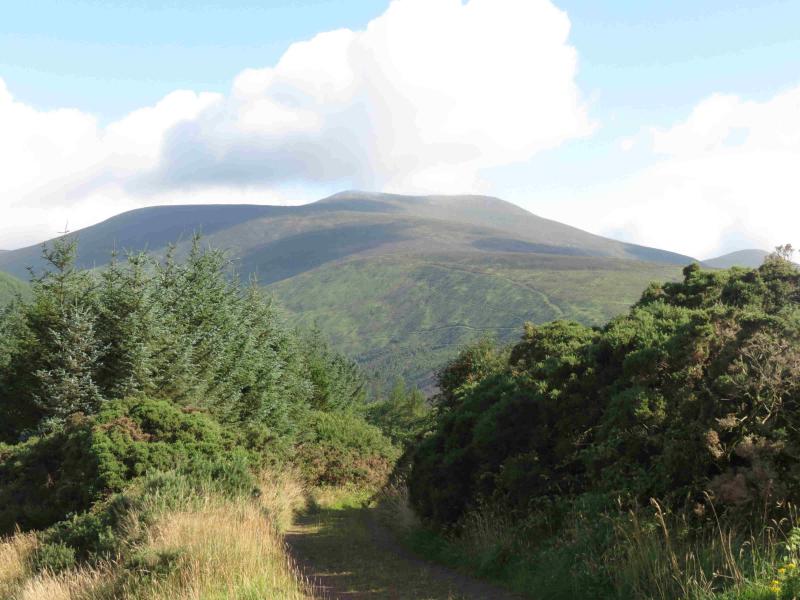
Galtymore is the only “Munro” in the Galtee Mountains to the south of the Glen of Aherlow, south of Tipperary. The R 663 is the major road running through the Glen of Aherlow. At a staggered crossroads at R 861 288, about a mile E of the village of Lisvarrinane, turn left, SSE. At next junction, go left, ENE, and follow signs for Galtymore to car park up a minor lane, from Clydagh Bridge, at R 874 277.
Distance/Time
12 km Approx 5 hours
Peaks
Galtymore, 919 m, R 878 237 (Irish National Grid System)
Galtybeg, 799 m, R 890 241. Irish OS Discovery Series Map 74 (1:50000)
Introduction
The Galtee are a picturesque range especially when viewed from the Christ the King statue on the R 664 to Tipperary. Navigation is relatively straightforward but if you need to, you should be able to easily reset your GPS to the Irish National Grid System.
Route
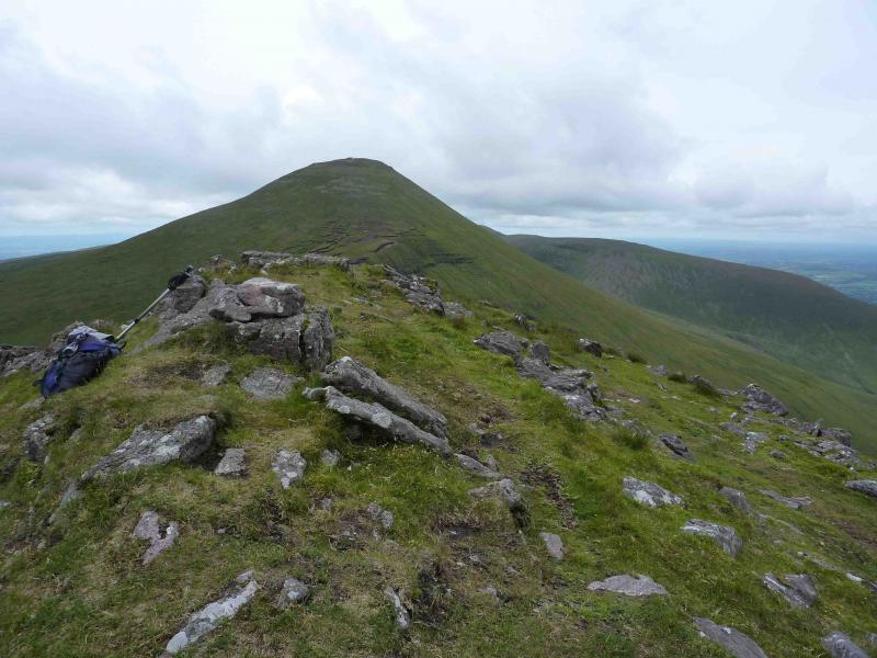
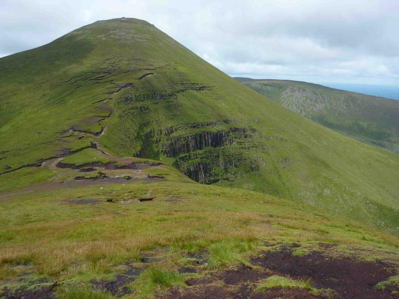
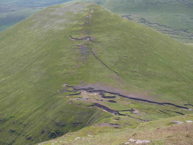
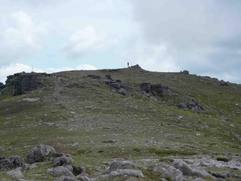
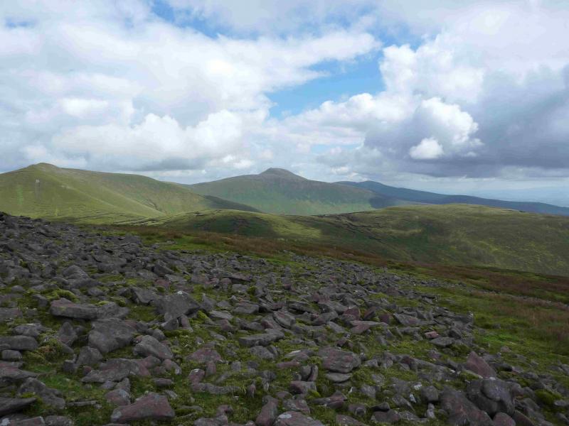
(1) Walk up the tarmac lane which started at Clydagh Bridge to its end (nearly 3 km) where there is a gate to the right which enters a much rougher lane through a short wood to emerge at another gate in about 200 m. The path is directly ahead on an “earth wall” but soon becomes faint and difficult to follow. Head for the Cush – Galtybeg col which is obvious in clear weather but needs a bearing of approximately SSE in mist. Some of the ground may be wet and boggy. The actual col is best avoided on the Galtybeg, SW, side. Ascend moderately steep, grassy slopes, SW. When the angle eases, reach a small cairn, on a rock, on a narrow grassy ridge which is the summit of Galtybeg, 799 m.
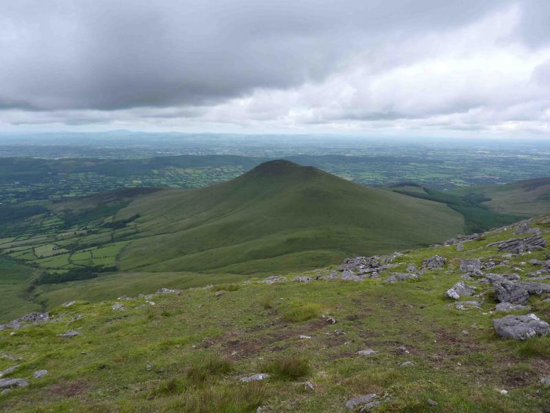
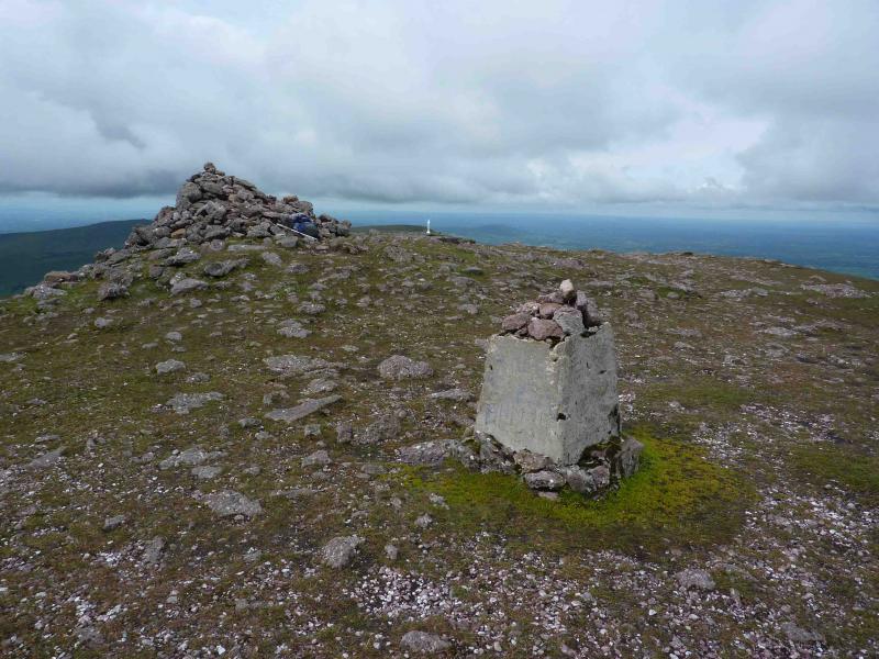
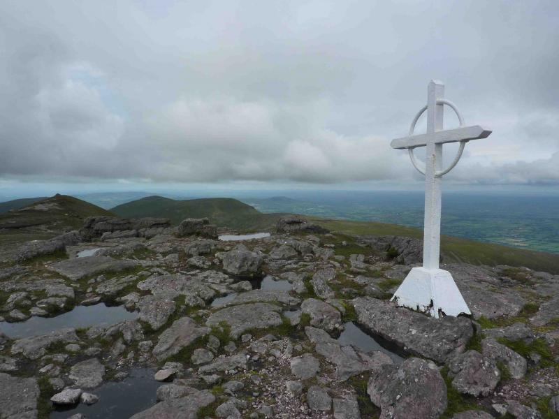
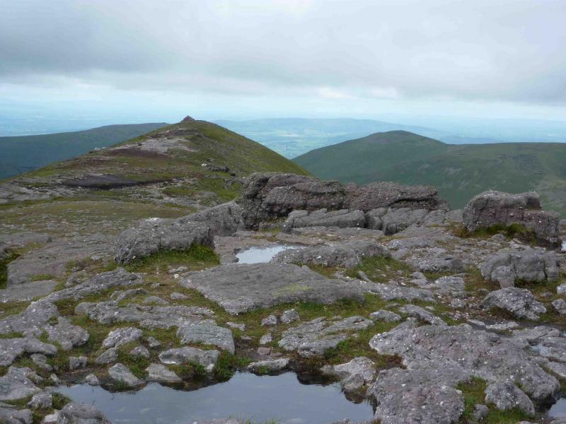
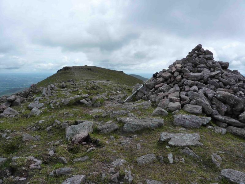
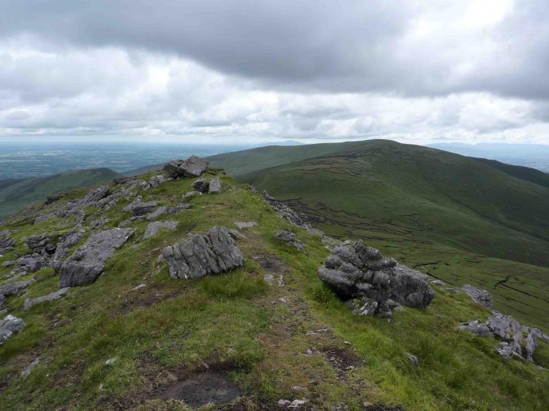
(2) Descend WSW with the best path being on the right, NW, side of the ridge to reach a peaty col then ascend moderately steep, grassy slopes towards Galtymore with the best path initially on the right then it drifts left. Eventually reach a grassy/stony plateau with a large cairn and remains of a trig point which is the summit of Galtymore, 919 m. About 30 – 40 m past the summit on the right edge, sitting on a rocky outcrop, is a white Celtic cross erected in 1975. About 100 m further on is another well cairned top.
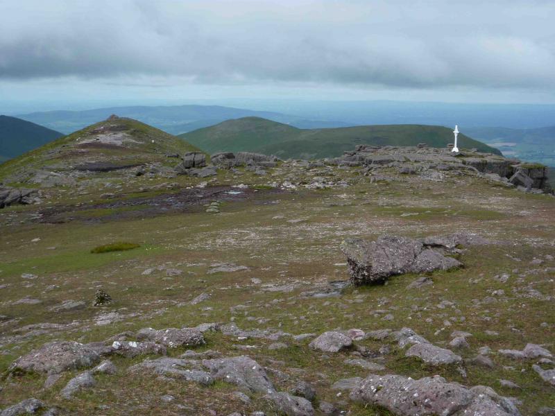
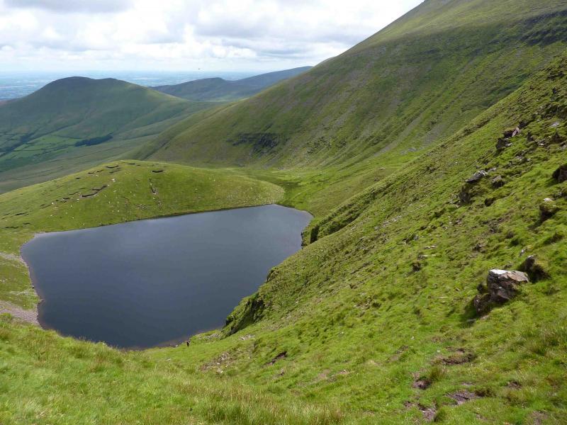
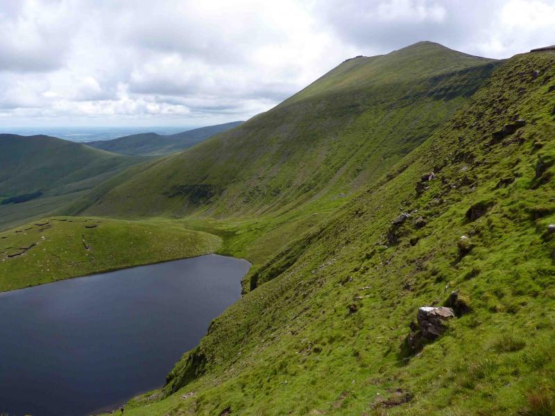
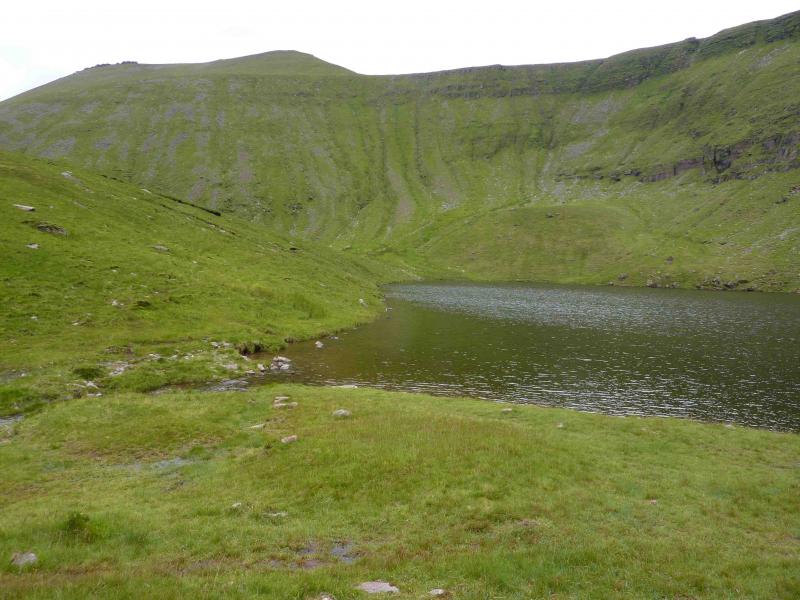
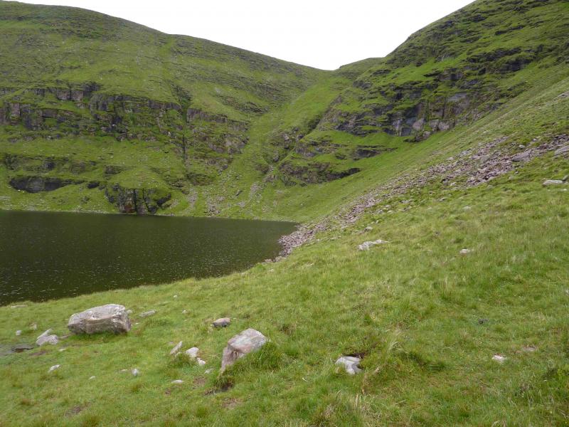
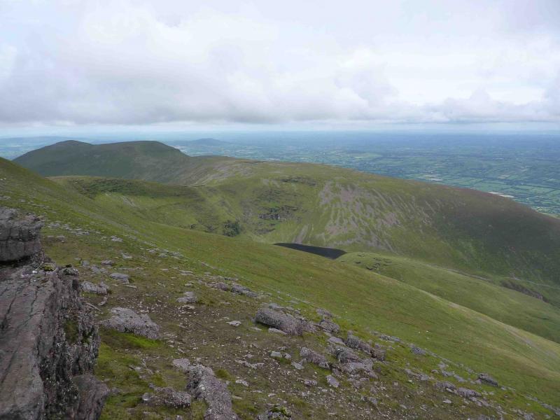
(3) Continue along the summit ridge past the second top then descend WSW to reach the start of a meandering wall which, more or less, follows the crest. The best path is on the right, close to the edge. At the lowest point of the wall, there is a faint path, on the right, going down steep, grassy slopes to Lough Curra. Descend carefully to the lough and traverse just above it on the W side to reach its outflow where there is a path, faint at first, on the left, W, of the stream. Follow the path down, which soon improves and becomes waymarked, then through the forest back to the start.
Notes
(a) This walk took place on 11th July, 2010.
(b) There is a very good camp and caravan site, at Ballinacourty House in the Glen of Aherlow, at R 857 294. It is very close to Clydagh Bridge and signposted from the same staggered crossroads. It is very well laid out with free showers. There is a small campers’ kitchen with 1 table and sink plus a free gas cooker, microwave and freezer. You may need your own pans. There is also a sitting room with a TV. The nearest shop is in the village of Lisvarrinane, about 15 minutes walk. Tipperary, with a Tesco and Lidl, is about 7 miles.
Photos - Hover over photo for caption. Click on to enlarge. Click on again to reduce.