Get Lost Mountaineering
You are here: England » Yorkshire Dales » Central & Northern Areas
Great Whernside via Whernside Pasture from Kettlewell
Great Whernside via Whernside Pasture from Kettlewell
Start/Finish
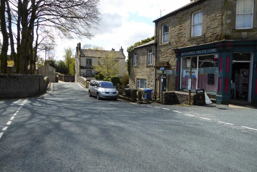
Kettlewell village in Wharfedale. If coming from the south (Grassington and Skipton) then the River Wharfe is crossed before entering the village. There is a public pay and display car park with toilets on the left and another car park opposite the garage. If these are full then some street parking may be found but don't park in a way which will inconvenience the locals.
Distance/Time
9 km. About 4 hours.
Peaks
Great Whernside, 704 m, SE 001 739. OL30 Yorkshire Dales: Northern & Central Areas
Introduction
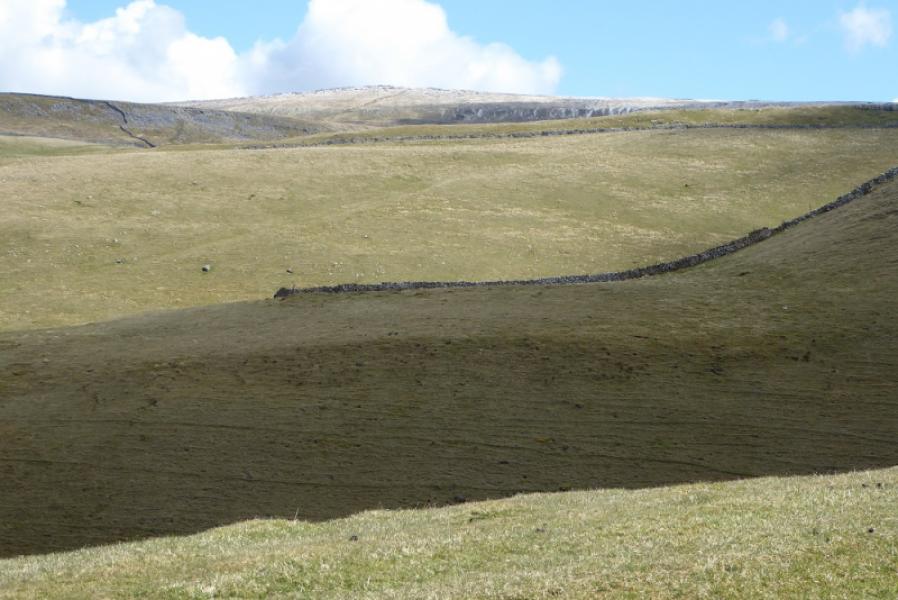
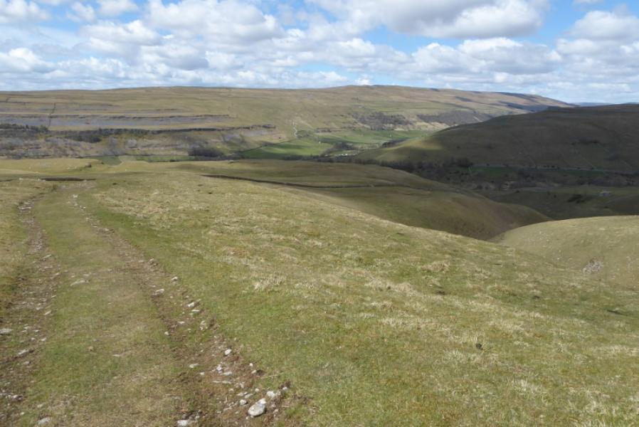
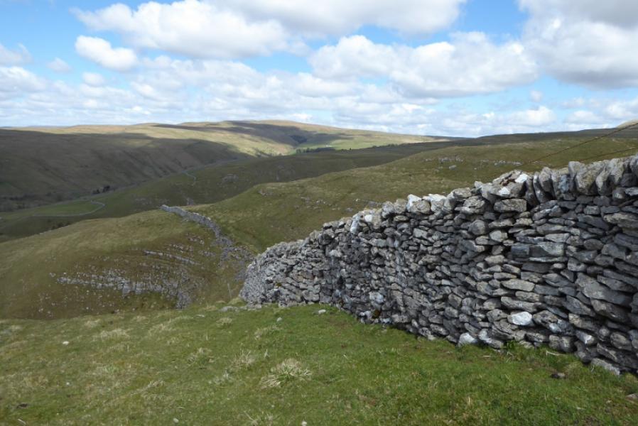
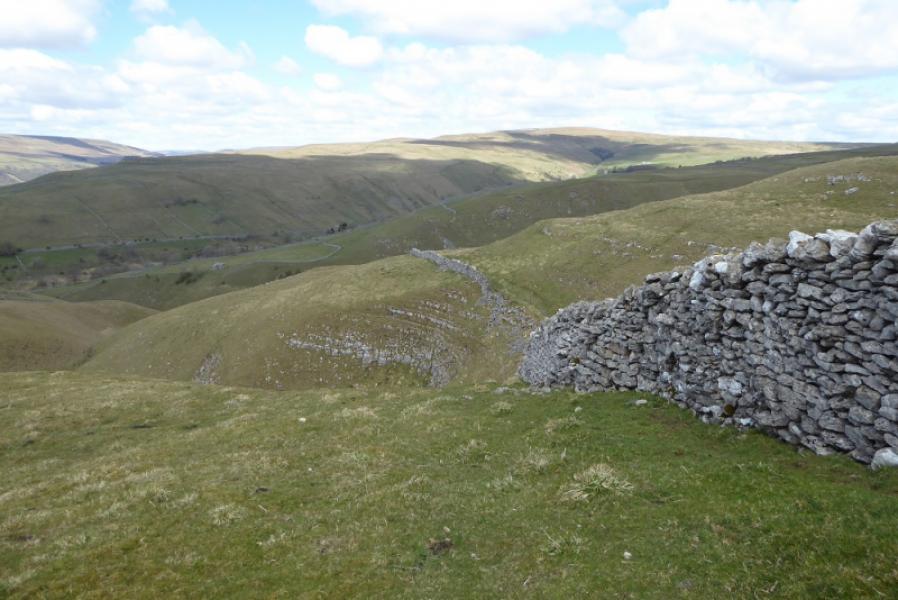
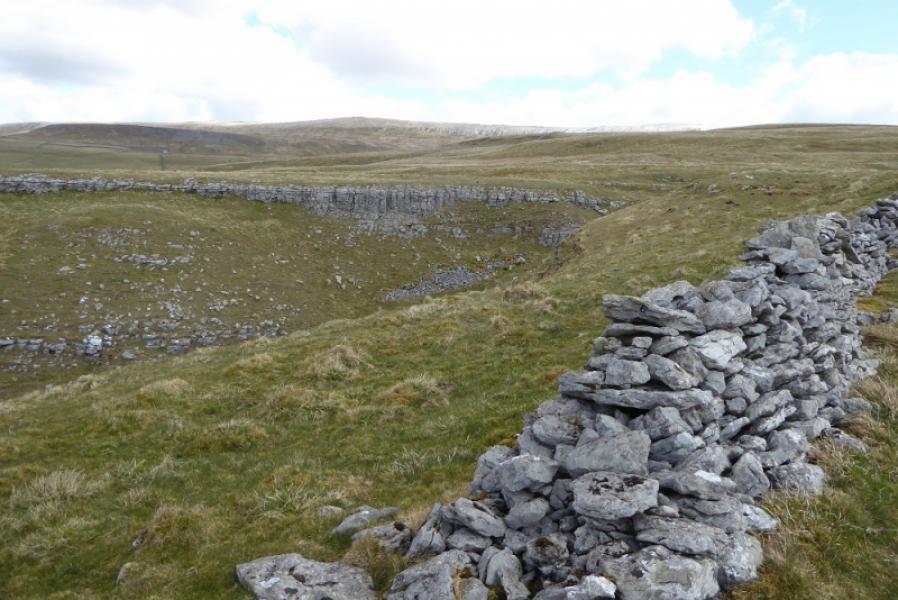
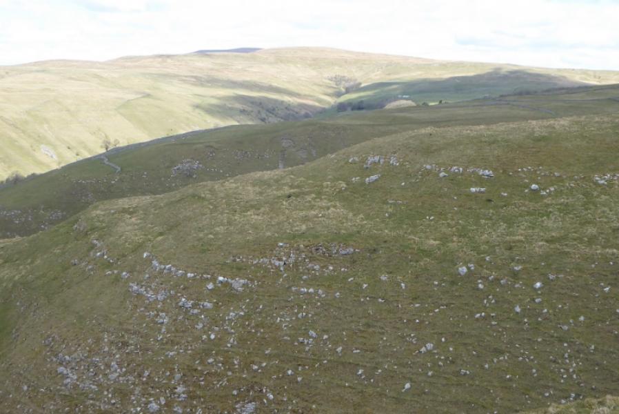
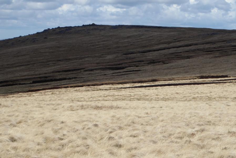
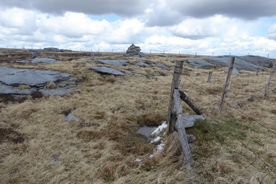
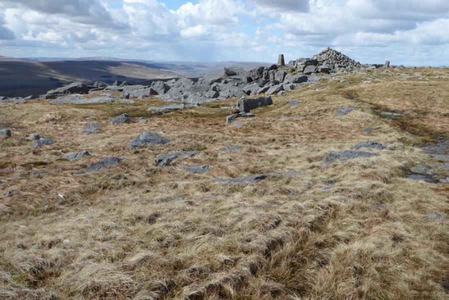
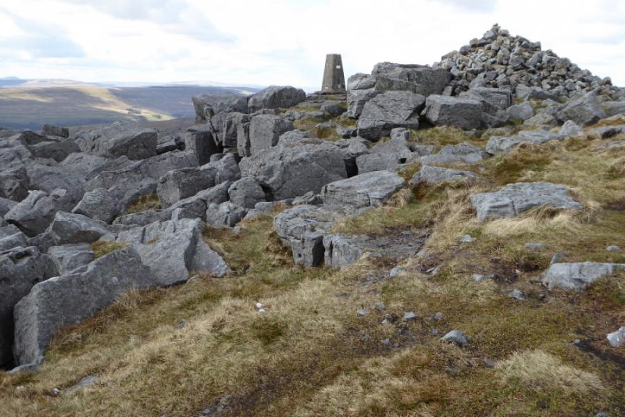
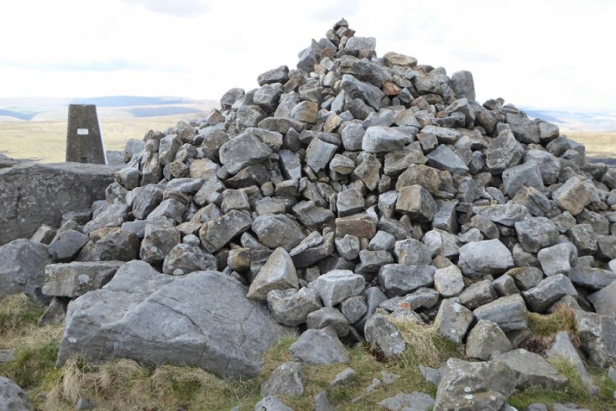
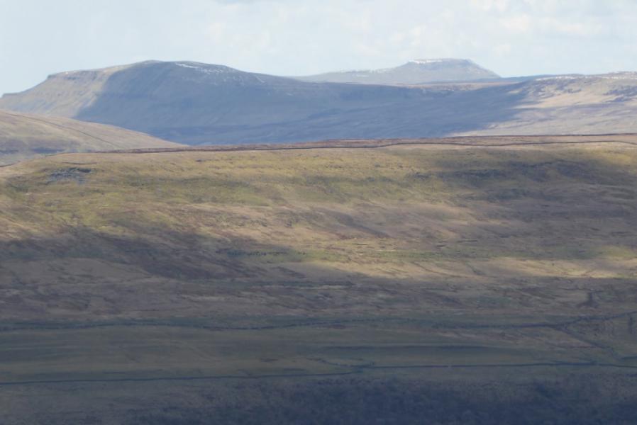
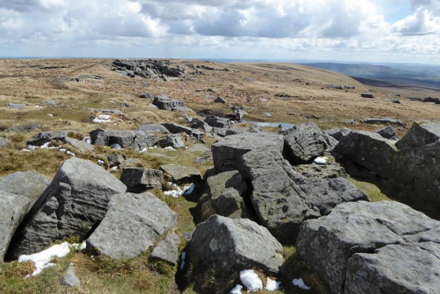
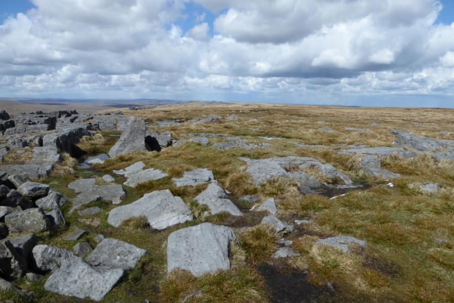
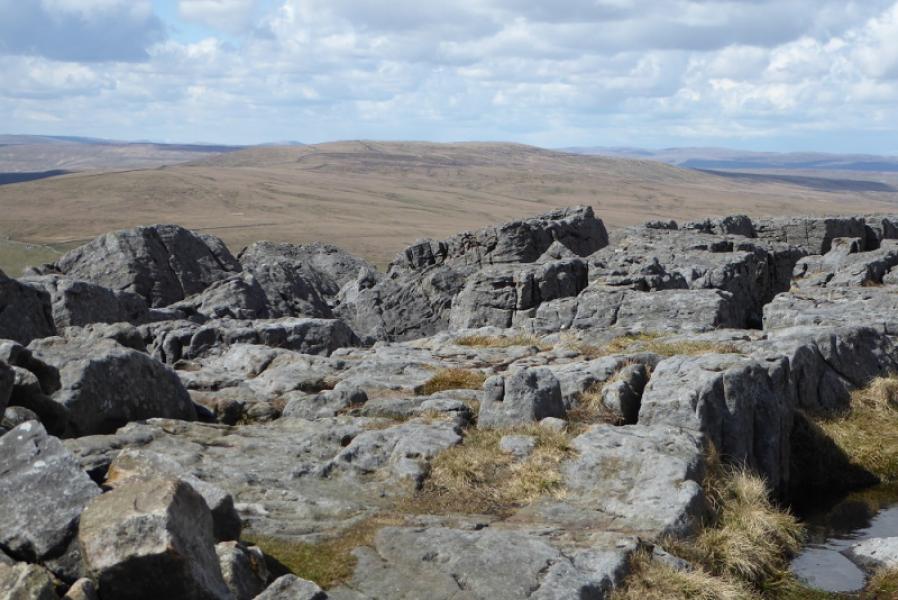
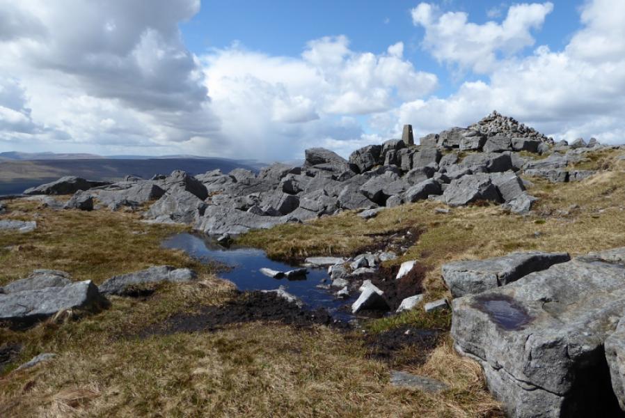
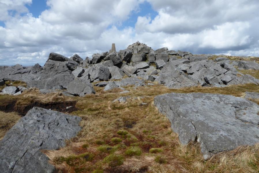
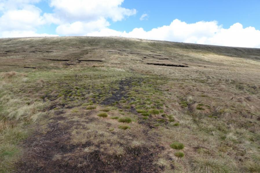
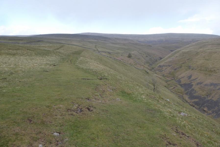
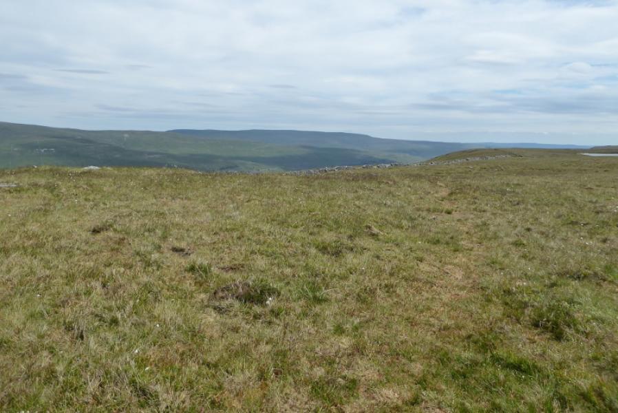
Apart from the short section in the village, this is a circular route. The descent starts off on a good track but the final section up onto the south ridge of Great Whernside is rough and pathless and the ridge itslef is not much better until the first cairn is reached. Whernside Pasture is not well defined on the map but seems to be the section just below the south ridge and is passed through after leaving the good track. Views are good but not as good as around the Three Peaks area. The summit is unusual in having a small boulder field made of large boulders just below the trig point.
Route
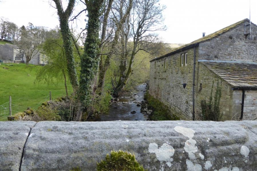
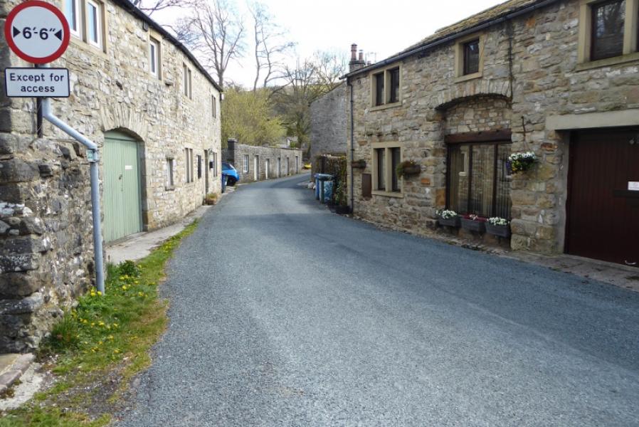
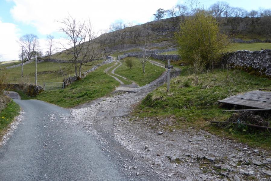
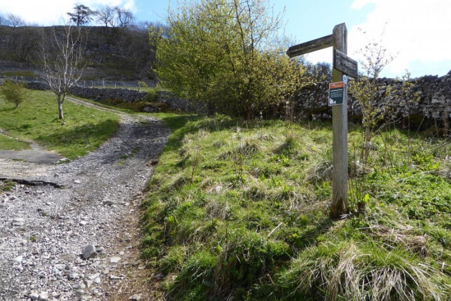
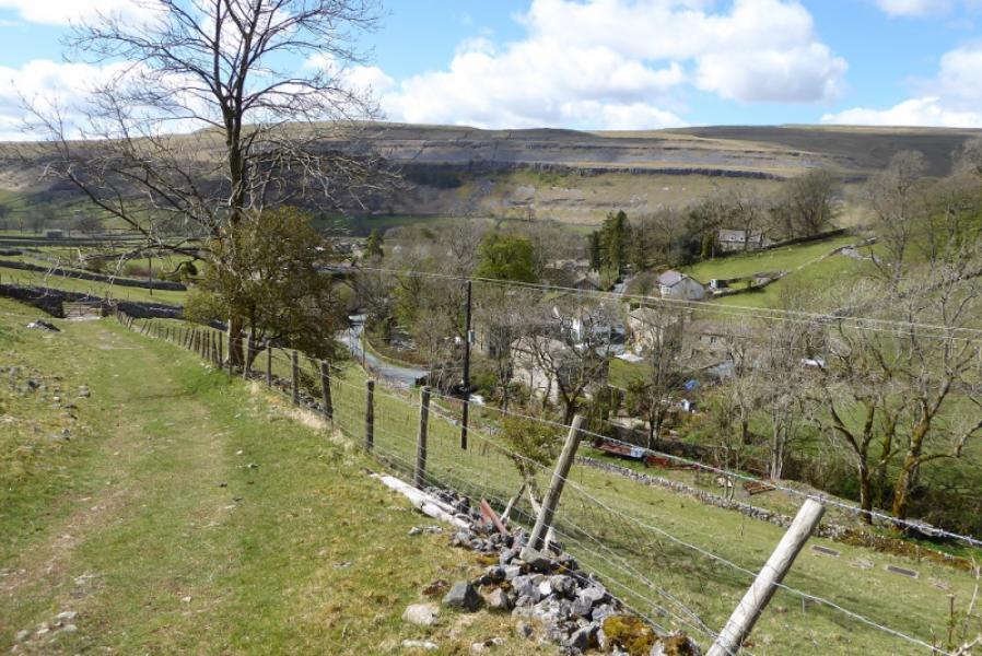
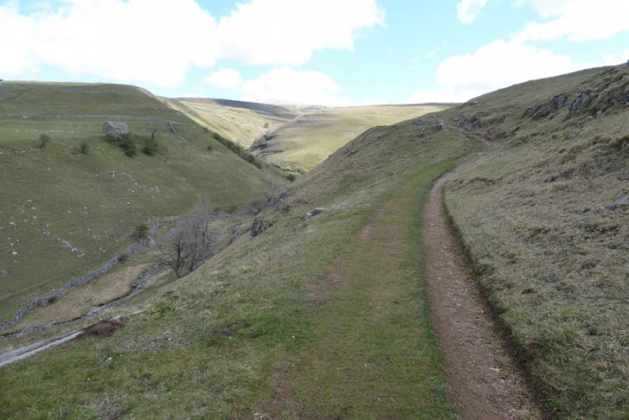
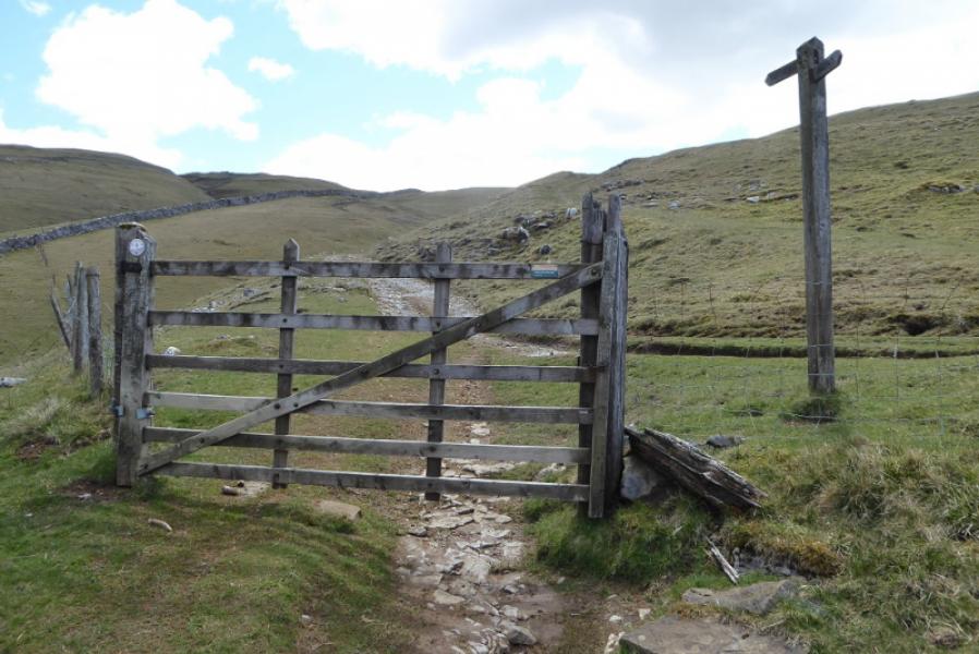
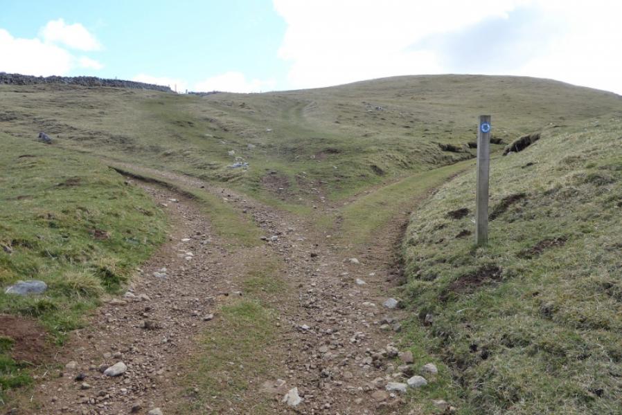
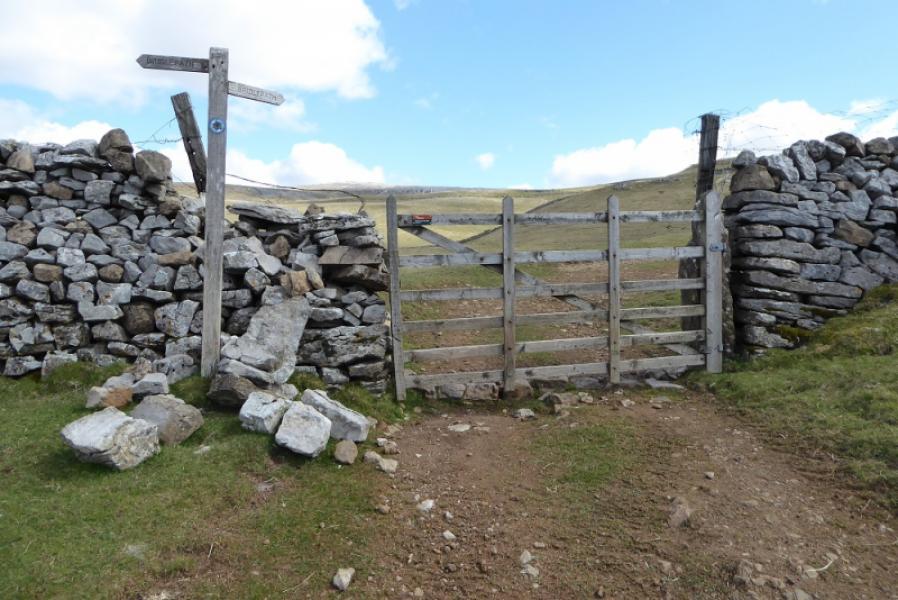
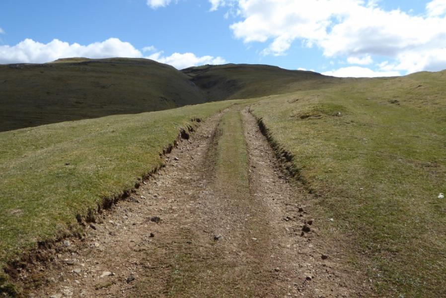
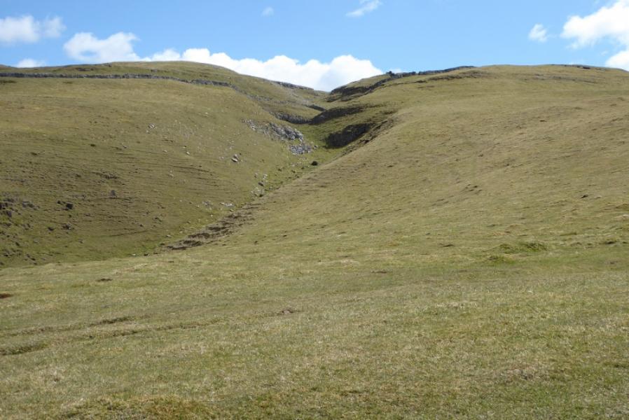
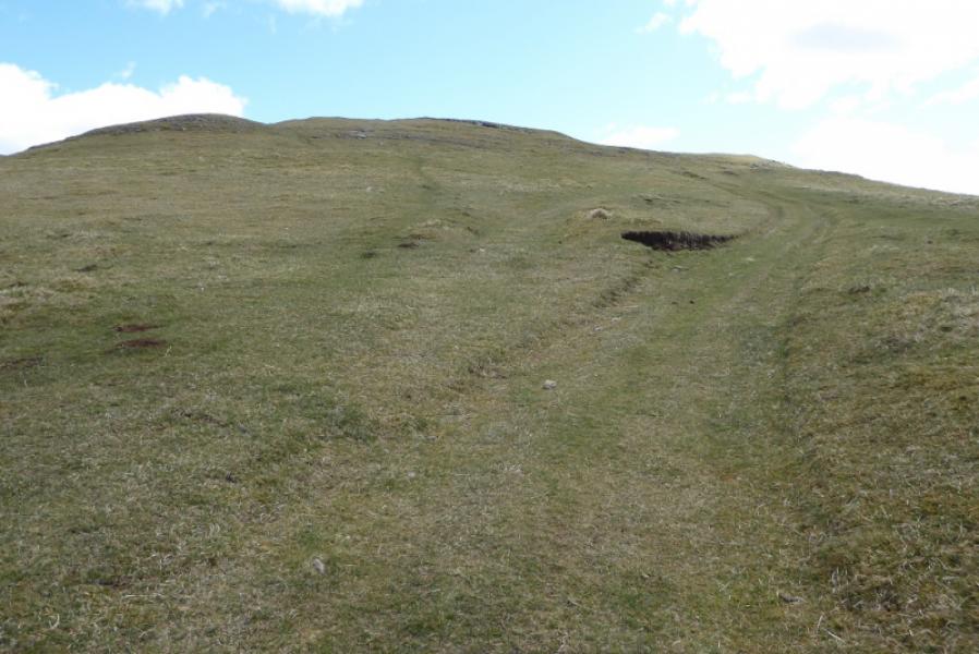
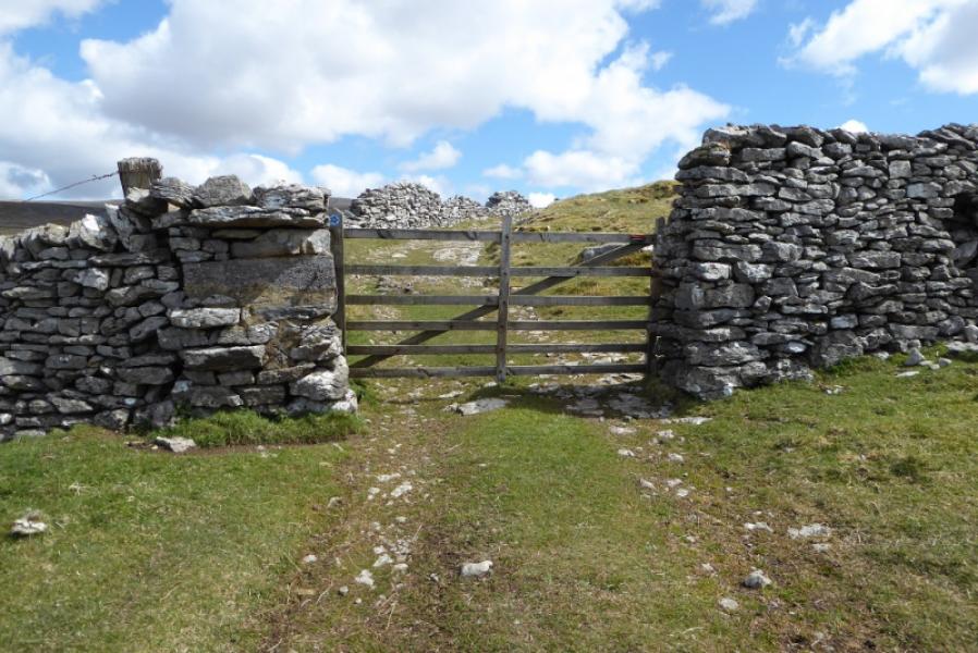
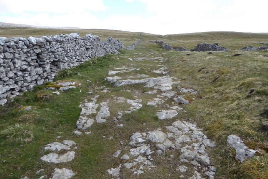
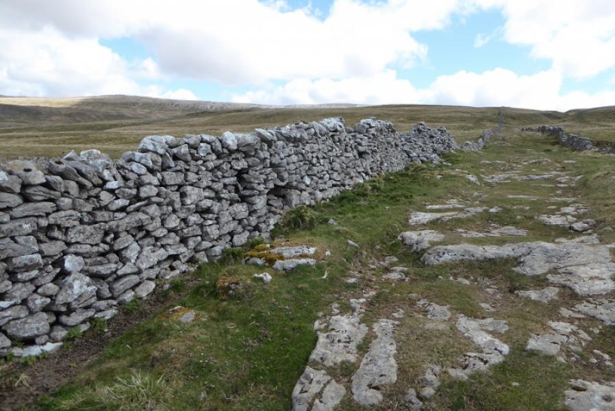
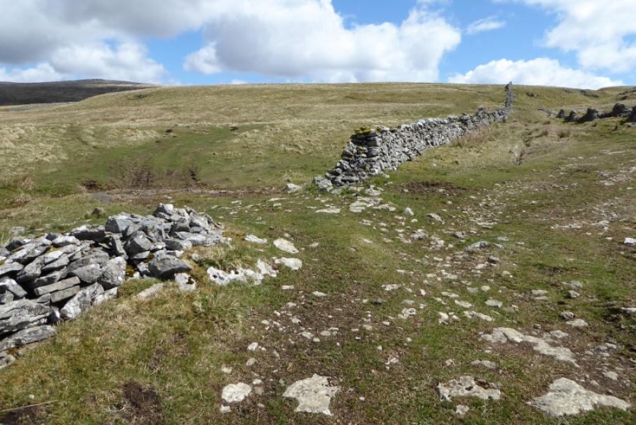
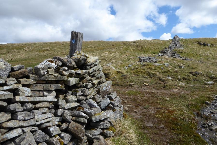
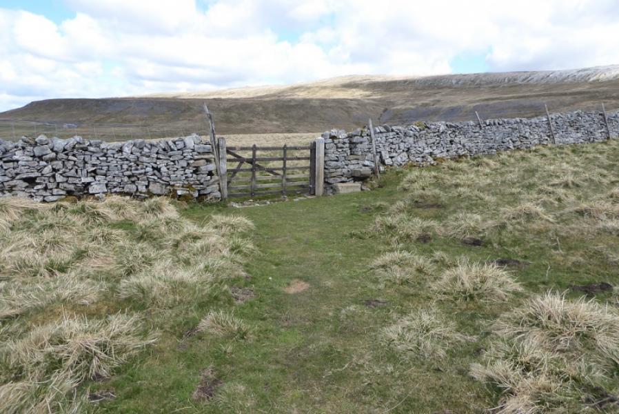
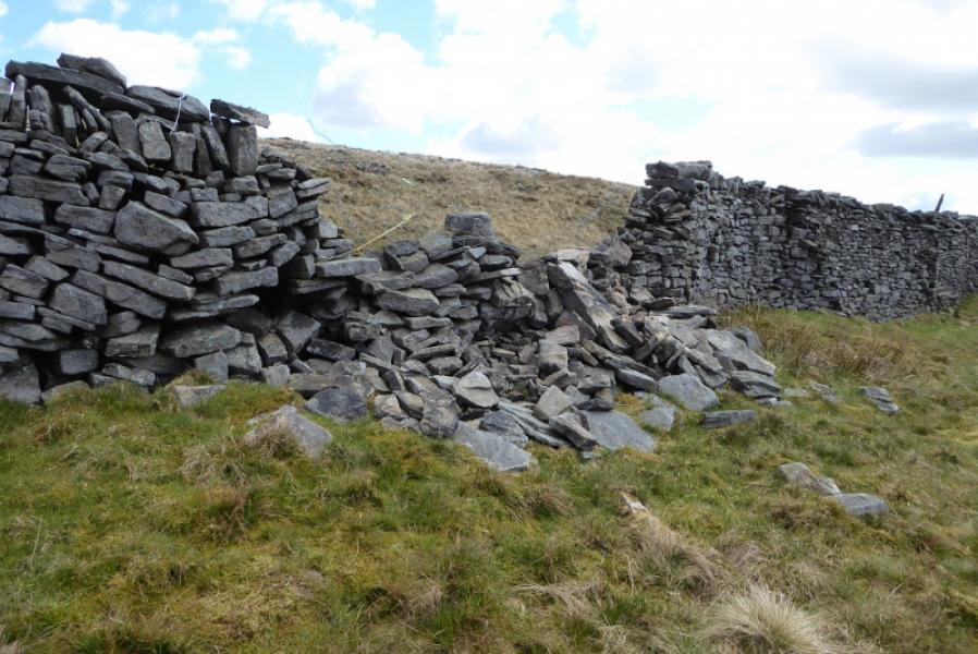
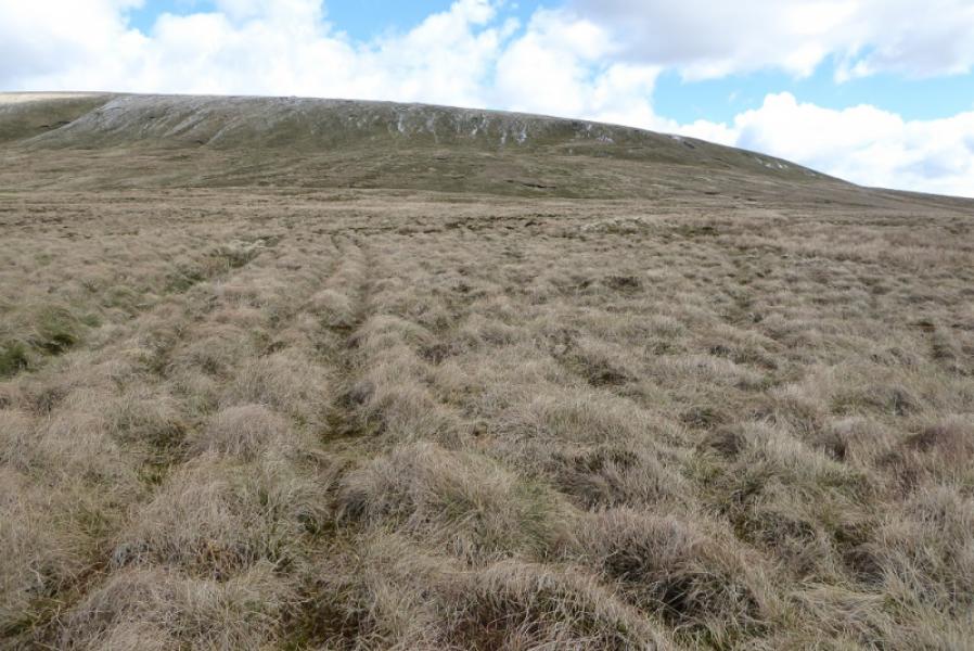
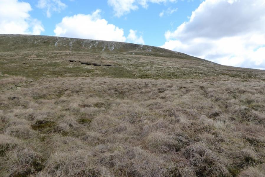
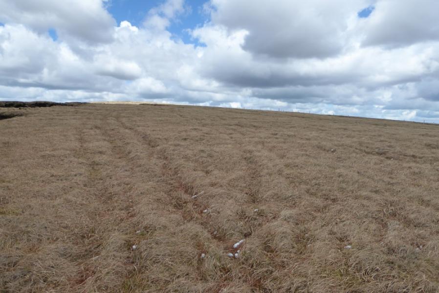
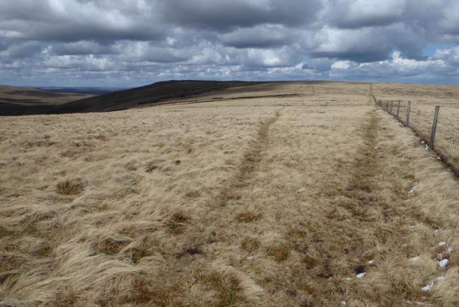
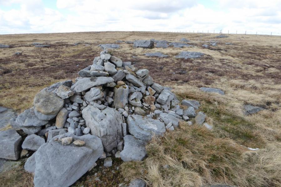
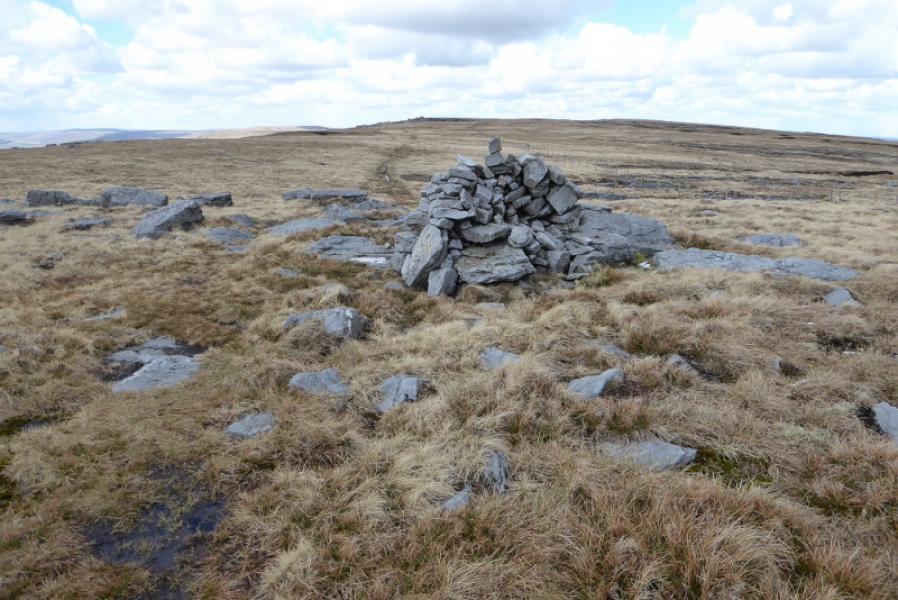
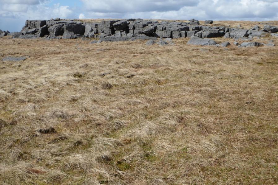
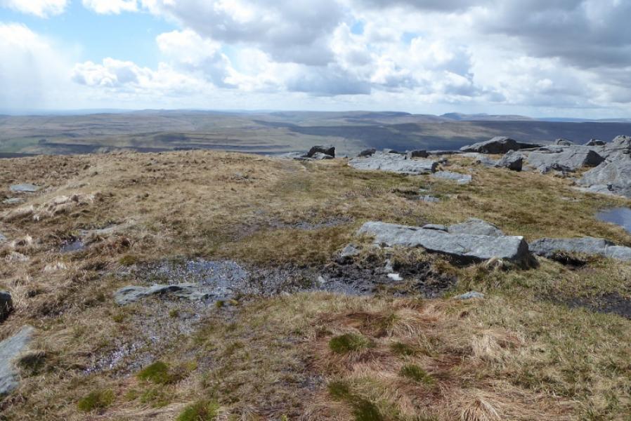
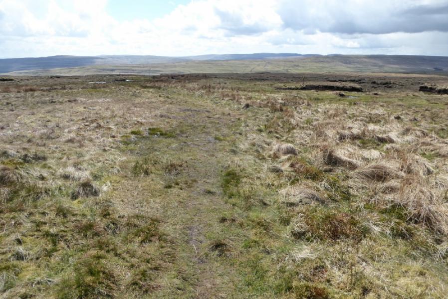
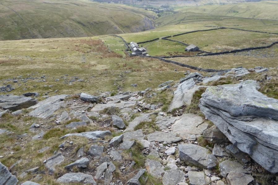
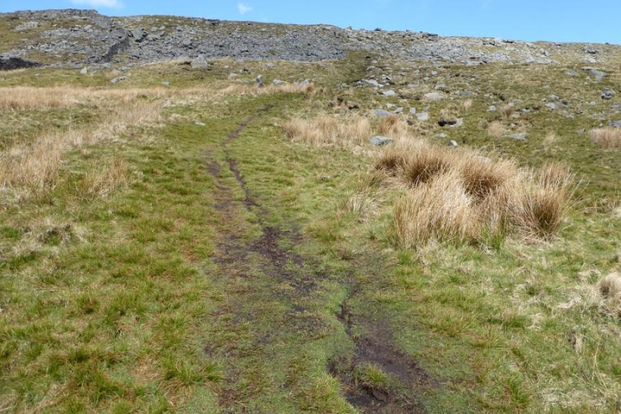
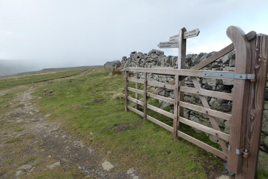
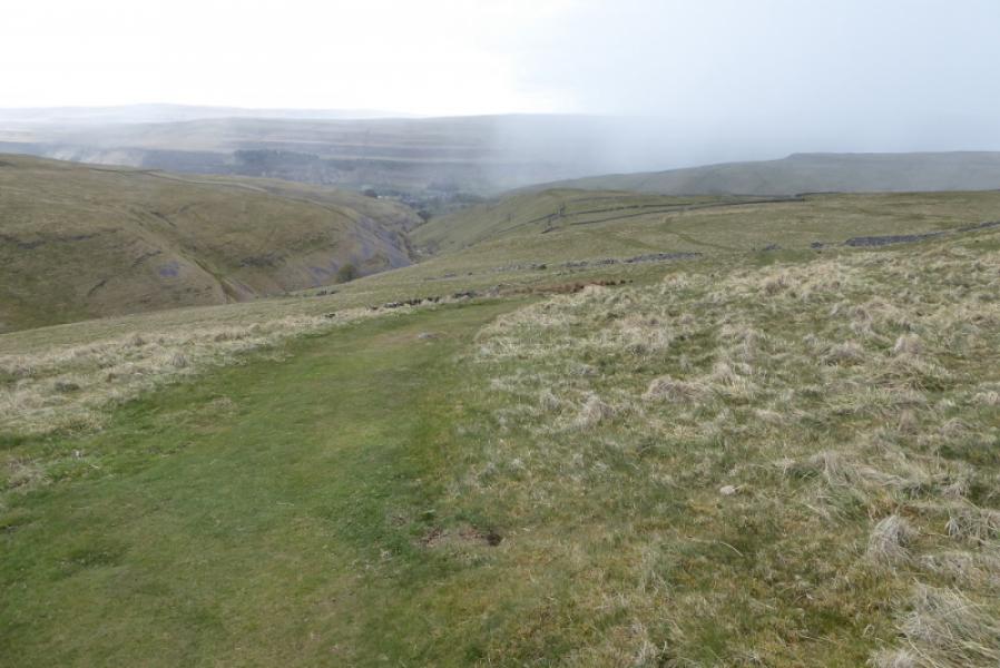
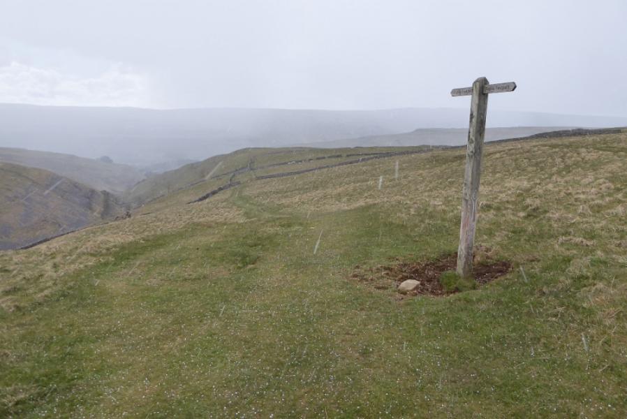
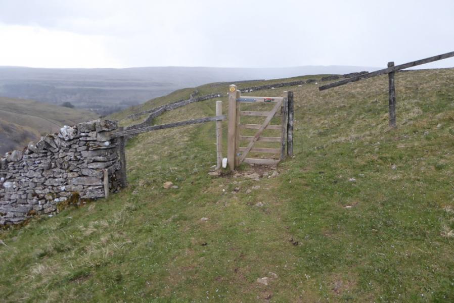
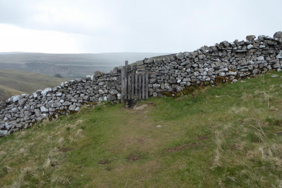
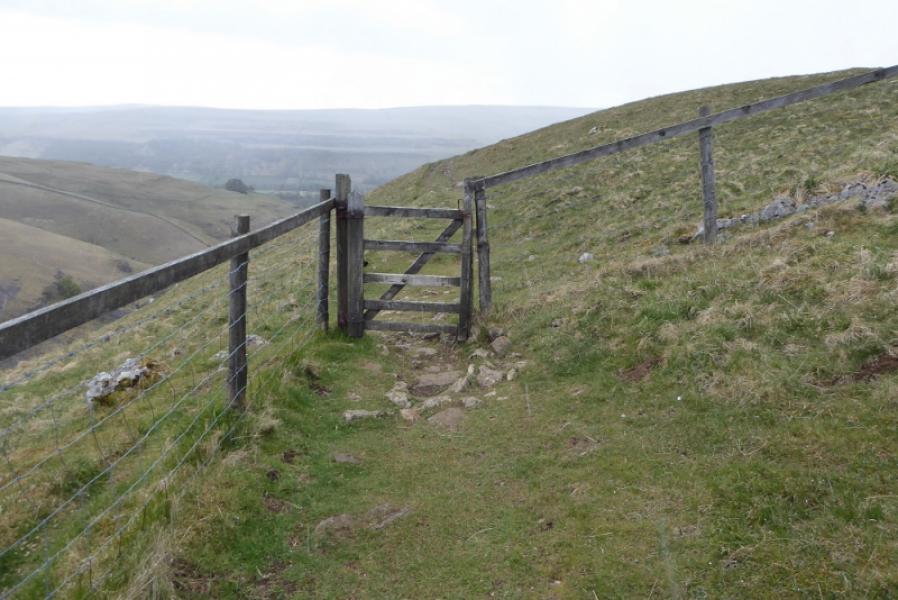
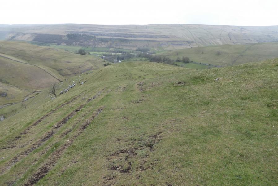
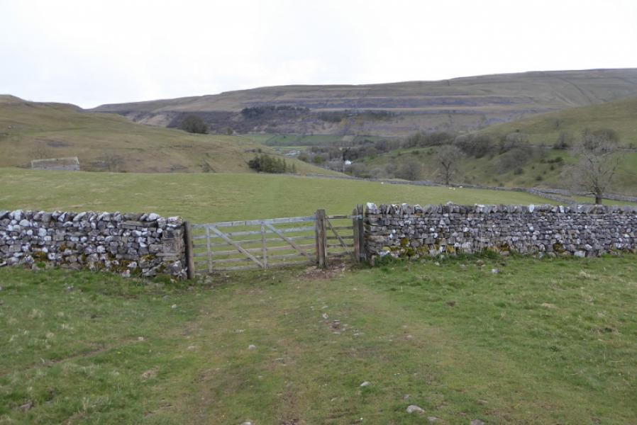
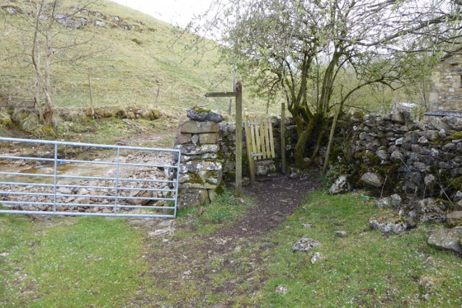
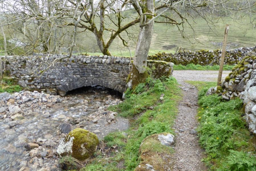
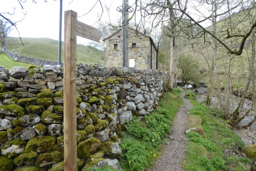
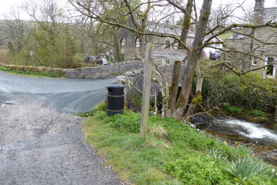
(1) From the toilet car park, walk to the bridge opposite the Racehorses Hotel. Turn right and follow the road (signed for the church) then take a left turn (also for the church). At the end of this road, the King's Head is on your left with a bridge over a substantial stream on your left. Take the road, roughly ahead, which keeps the stream on your left. When the road becomes a rough track, look for another track forking right by a signpost for Whernside Pasture. Follow this track uphill and keep following the sign arrows. You soon drift right away from the main valley then go up the right hand side of a smaller dry valley. Much higher up, the track becomes rougher and rockier as it has a wall on its left. Pass through this wall where the sign indicates and continue to another wall where you might see a blue topped post beyond the wall. Do not cross this wall but go right and follow it on a grassy but not very obvious track in places. Reach a wall barring access to the open hill. In May 2021, there was gap in this wall which made it easy to cross. If this has been repaired, you may have to climb over in the corner to the left or follow the wall to the right to rejoin the previous wall where there is a gate then another gate to access the open hillside. Once on open hillside, pick a way up, aiming for the obvious ridge ahead which is the south ridge of Great Whernside. The ground is rough pasture but not horrendous. It is a short and moderately steep ascent up onto the ridge where the ground is still rough pasture. Turn left, roughly north, and follow the broad ridge. In thick weather, walk across the ridge to reach a fence which can be followed north and, eventually, goes very close to the summit. In clear weather, the main summit will be seen from here. Follow the fence path to reach a cairn just after a fence corner. Continue to a second cairn, slightly left, with the fence still off to your right then continue to the main summit area which is defended on its south side by a low limestone cliff. There is a large summit cairn and trig point which marks the summit of Great Whernside, 704 m. Note the small boulder field of large boulders.
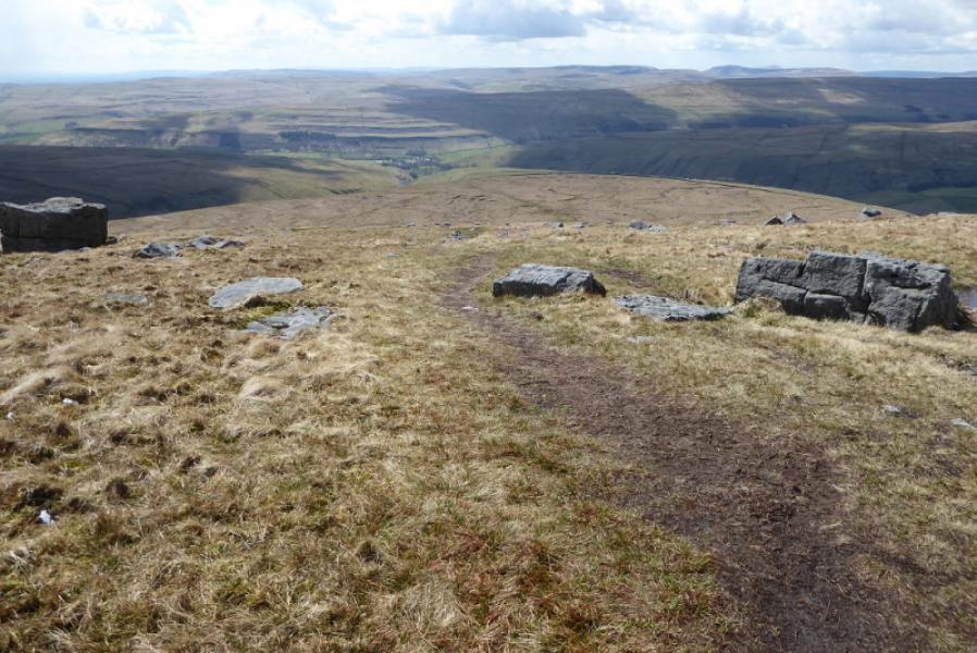
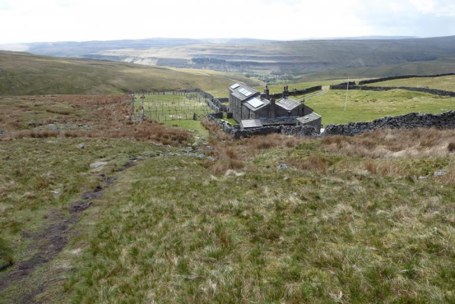
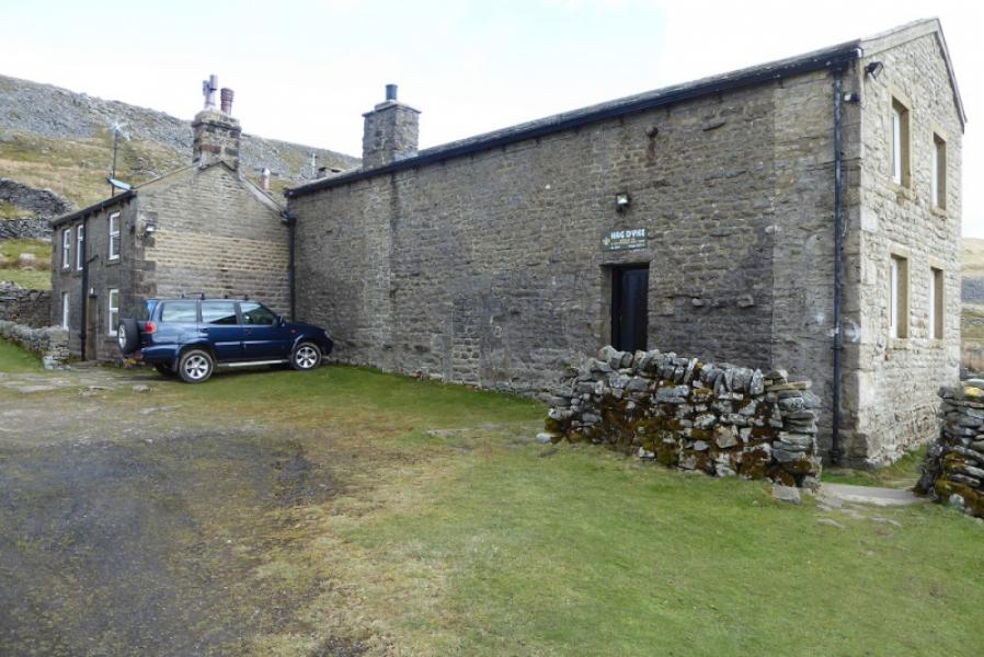
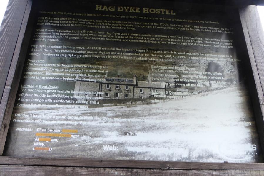
(2) Retrace about 20 m south to a not very obvious path which descends almost due west below the boulder field. The path soon becomes more obvious. Follow the path down; it is stepped and moderately steep in places before becoming more level. Further on, what seems to be a farm will be noticed ahead. This is Hag Dyke which is actually a hostel owned by the Scouts. However, just before reaching it, there is a short steep descent down a broken “cliff” which needs a little care. Once down continue to Hag Dyke to join a track after passing through the grounds. Turn left off the track and follow the grassy path WSW which passes through several gates before reaching a track at the very bottom. Turn left and soon rejoin the road by the substantial stream from near the King's Head.
Notes
(a) This walk took place on 5th May, 2021.
(b)Those wishing to only visit Great Whernside summit could reverse the descent route and return the same way. This will save about 2 km and nearly an hour since there be no crossing of the rough pasture or rough section of the ridge.
Photos - Hover over photo for caption. Click on to enlarge. Click on again to reduce.