Get Lost Mountaineering
You are here: Ireland » South West » Dingle Peninsula
Slievenea, Croaghskeada, An Cnapan Mor & An Bhanog Thuaidh
Slievenea, Croaghskeada, An Cnapan Mor & An Bhanog Thuaidh from the lower Connor Pass Road on the Brandon side
Start/Finish
The Connor Pass road. Driving up from the Brandon side, it is about 0.5 mile after the last turning on the right for Cloghane. On 27/4/12, on the left, there was a large sign, in Irish/Gaelic, about previous roadworks. Next to this sign is a gate and enough parking for about two cars. Additional limited parking is nearby across the road. The sign is opposite an open field surrounded by plantation. On a clear day, the start is at the bottom of the obvious N ridge of Slivenea.
Distance/Time
17 km Approx 9 hours
Peaks
Slievenea N Top, 670 m, Q 515 063 (Irish National Grid System)
Slivenea, 620 m, Q 508 057.
Croaghskeada, 608 m, Q 512 645.
An Cnapan Mor, 649 m, Q 522 045.
An Bhanog Thuaidh, 641 m, Q 548 048..
Beenbo, 474 m, Q 545 075.
Slievenagower, 484 m, Q 539 072.
Slievenalecka, 456 m, Q 527 064. Irish OS Discovery Series Map 70 (1:50000)
Introduction
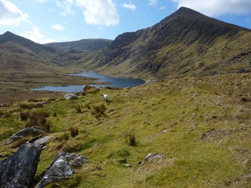
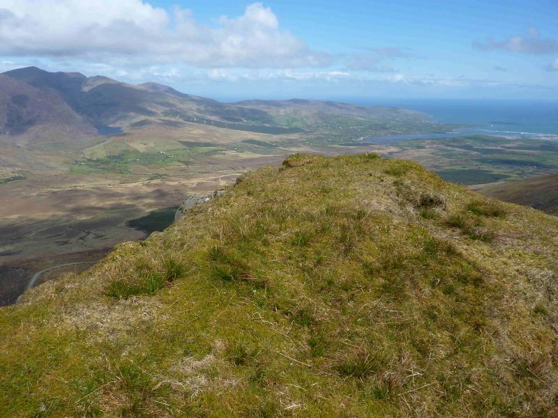
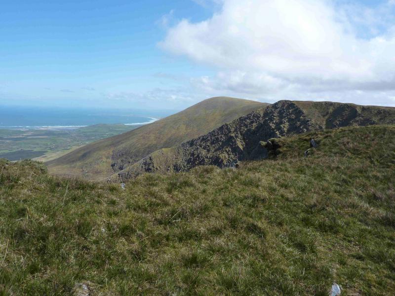
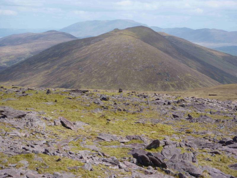
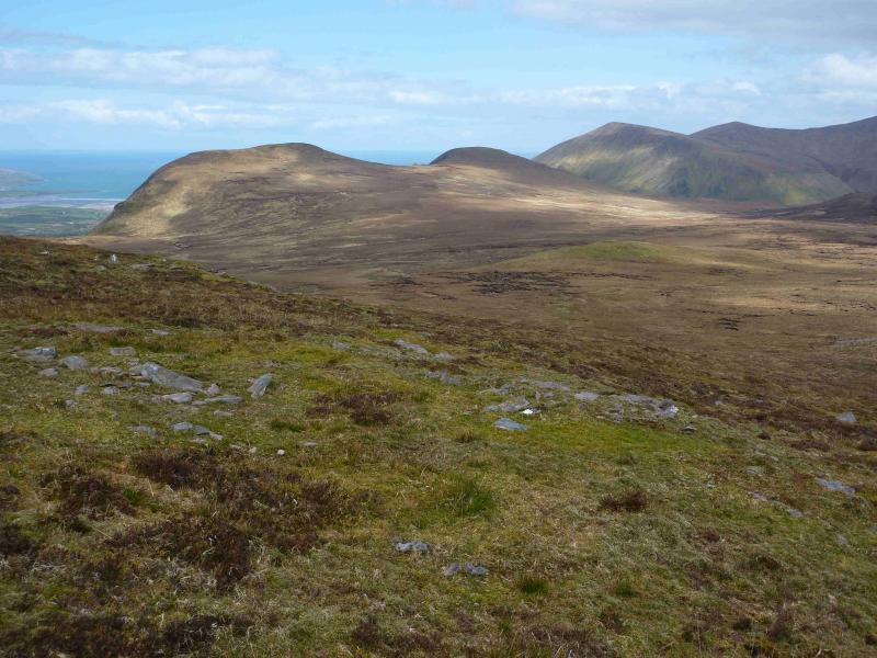
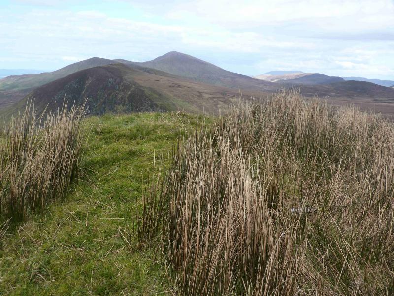
This is a very pleasant ridge walk with excellent views on a clear day, especially to the Brandon Mountain range and Beenoskee not to mention all the lovely small lakes seen on this walk. Carrauntoohil is vlearly visible on a good day. Paths are hard to find but, generally, the ground is easy to walk on short grass. There are three stream crossings, the first two of which may be problematical if in spate. The return goes over the Beenbo to Slivenalecka ridge which is well seen from the Connor Pass road. The final descent from Slievenalecka is on very steep grass and some may wish to avoid it.
Route
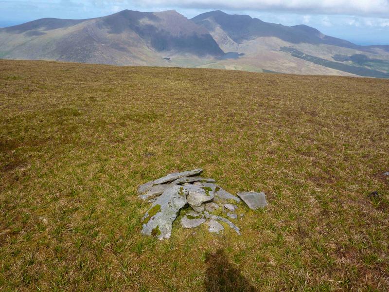
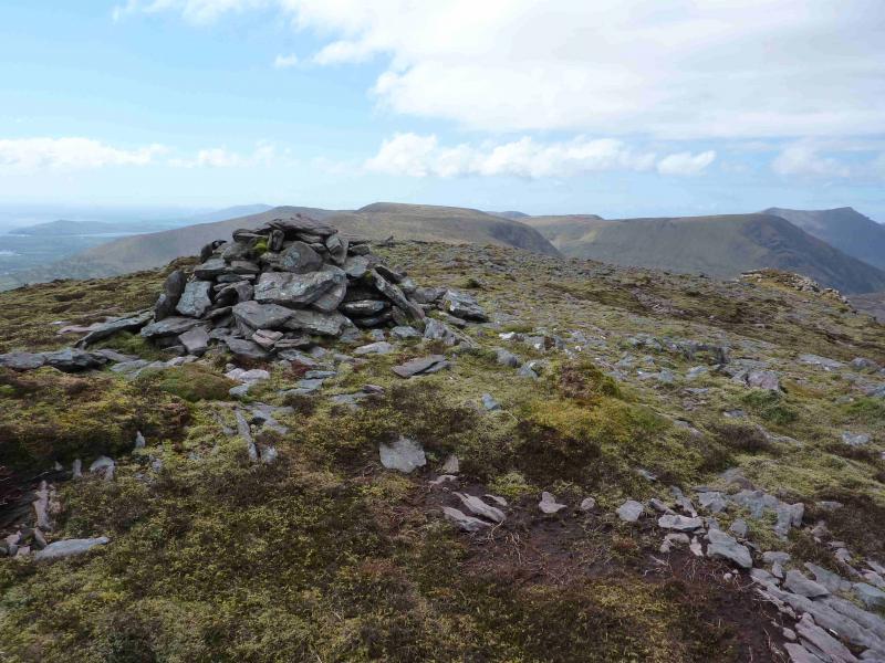
(1) Go through the gate on to a faint track. Leave this soon after and start to pick a way up the obvious N ridge of Slivenea. The gradient is gentle to start with but steepens higher up. Eventually, the gradient eases and a plateau is reached on which there is a very small and low cairn which marks the summit of Slivenea N Top, 670 m.
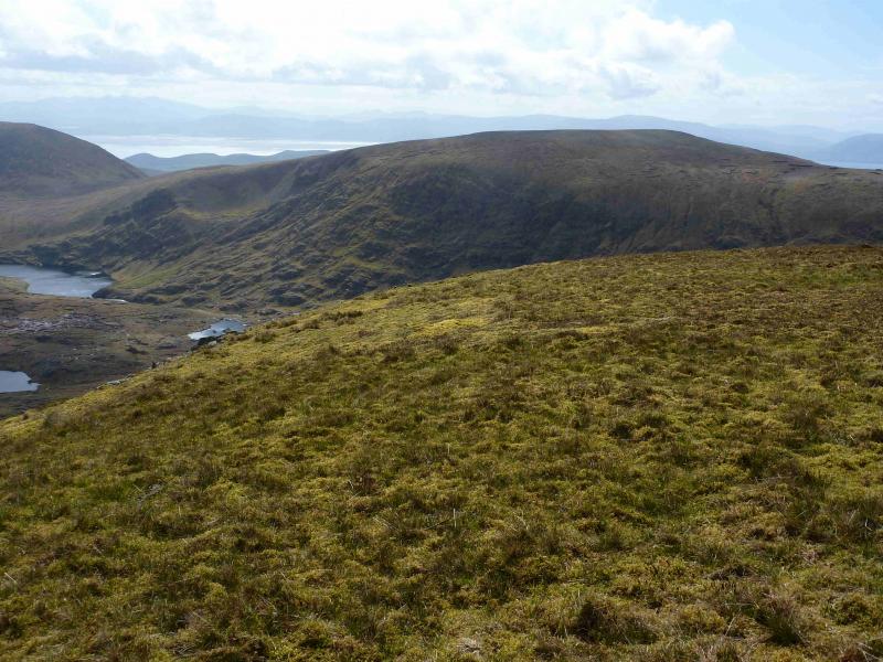
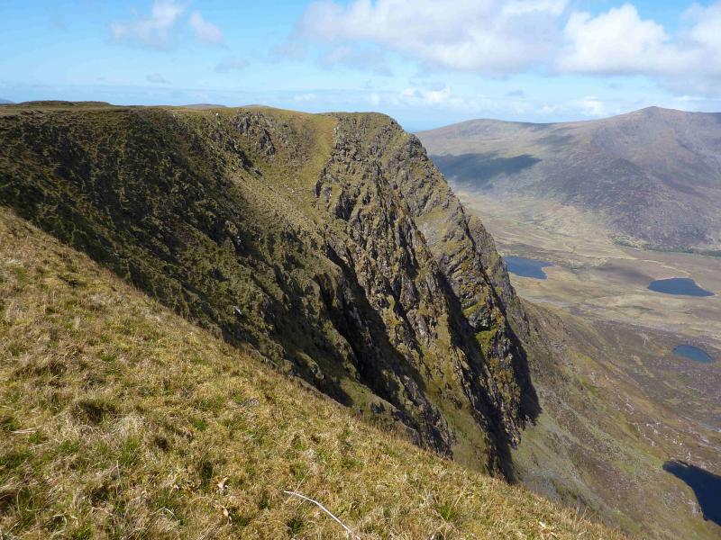
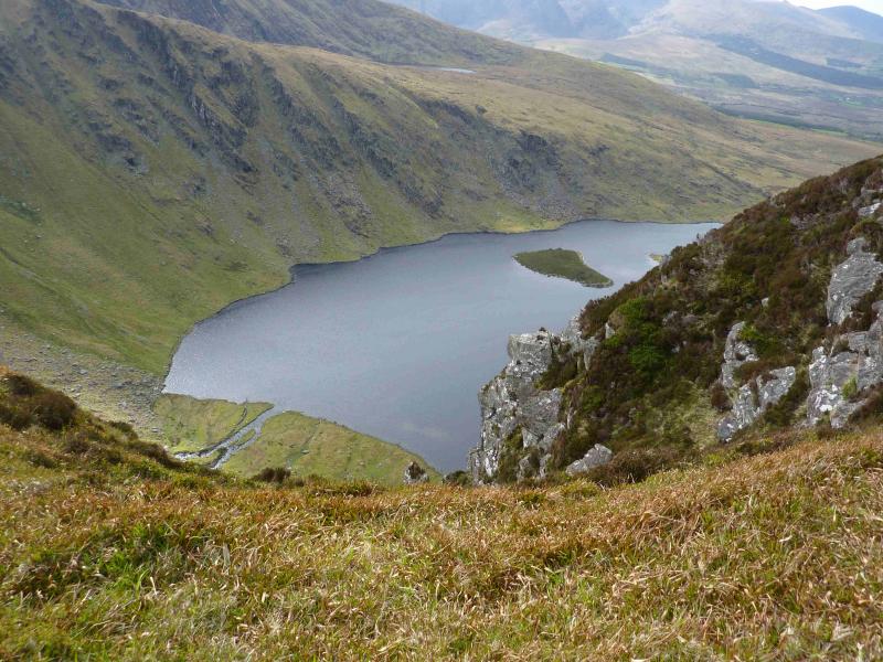
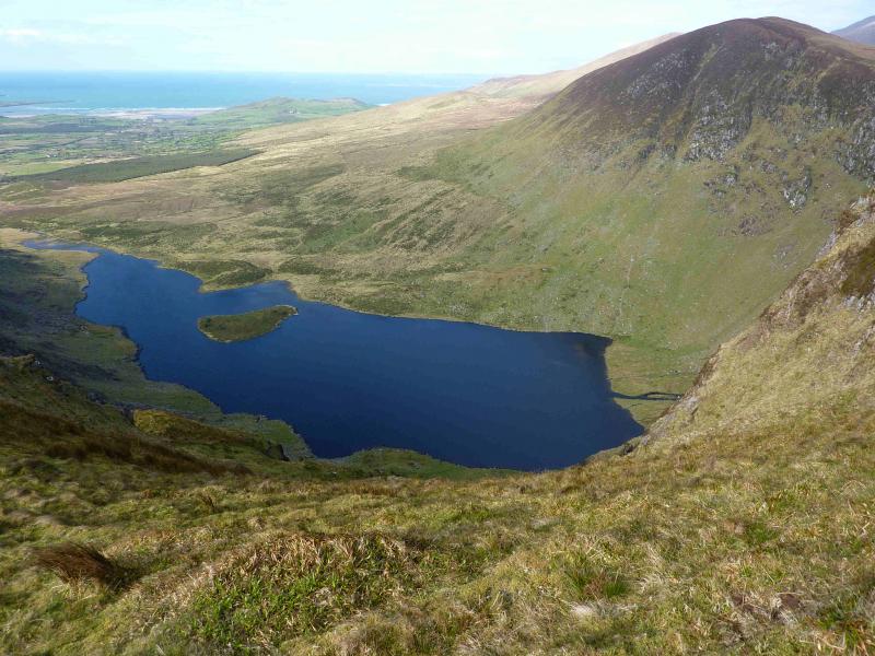
(2) Continue, descending SSE, and follow the corrie rim. The next slight rise leads to a small grassy top, without a cairn, which is the summit of Slivenea, 620 m. Loch Doon will be visible below, to the NW, in clear weather.
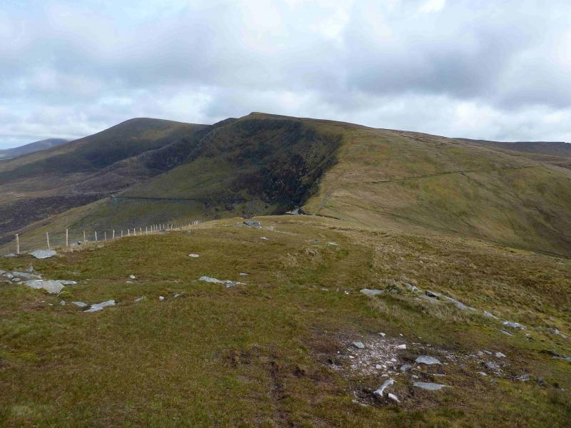
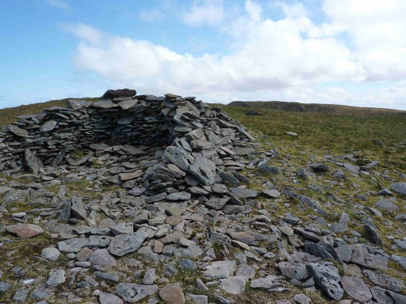
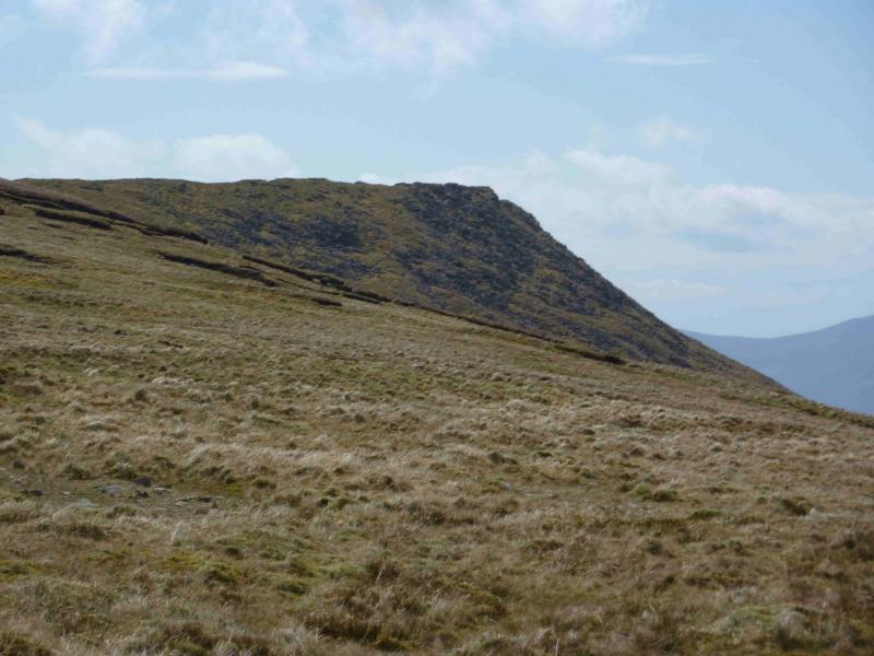
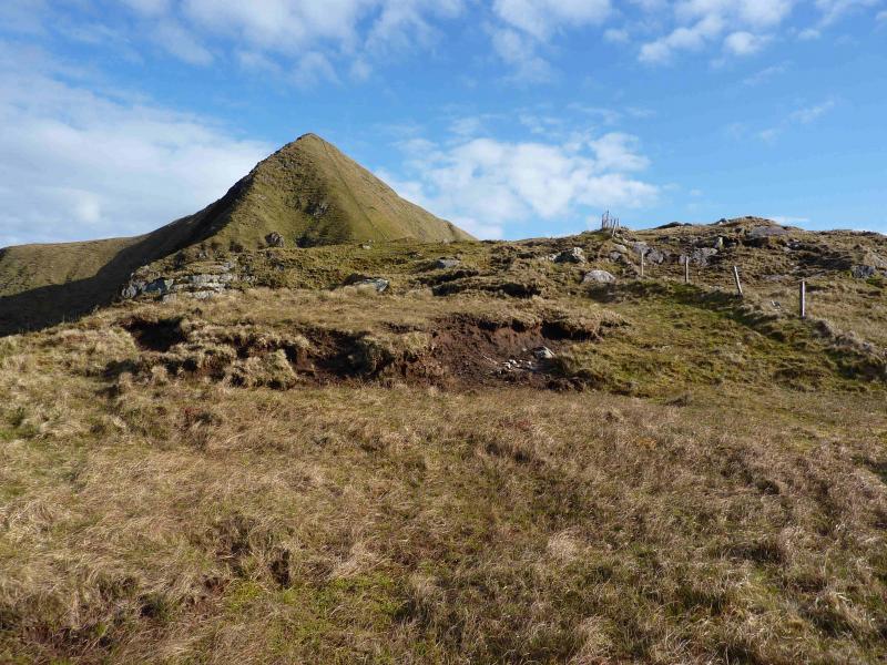
(3) Continue further around the rim to reach a shelter cairn. From here, walk SE across gently sloping ground dotted with peat hags – all of which are easily avoidable – to reach a very broad col. Head SSE to reach a ridge which goes roughly S. Follow this easily to begin with although it becomes narrower and rockier but with no real difficulties to reach a small top (after which there is a slightly lower similar top), without a cairn, which is the summit of Croaghskeada, 608 m.
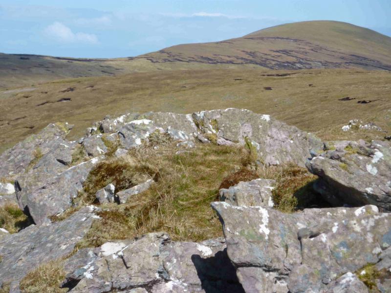
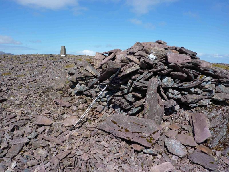
(4) Retrace N along the almost level ridge and follow it as it naturally curves around to the E. Continue, with a short gentle ascent, to reach a broad plateau. On the S end of this is a trig point and cairn which mark the summit of An Cnapan Mor, 649 m. It is not obvious, on the ground, whether the trig point or cairn is the higher but they are only about 10 m apart.
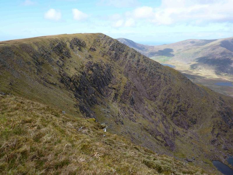
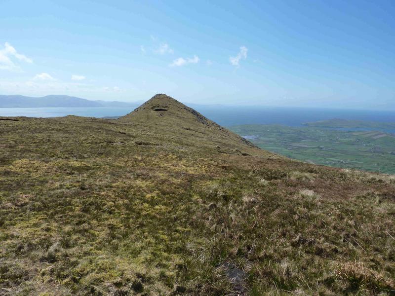
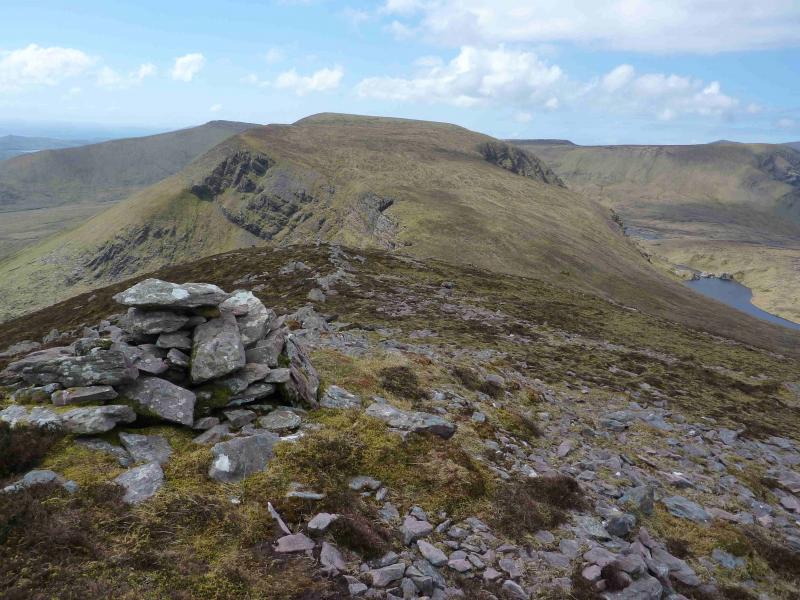
(5) Descend just N of E on gentle open slopes. Drifting S will lead one to a cliff. The slopes lead down to a broad col known as Windy Gap. Ascend the other side, on much steeper, but easy, ground. At the start of the crest is a cairn but the summit is some way off. Continue E on the well defined crest, past a rocky outcrop, to reach a medium cairn which marks the summit of An Bhanog Thuaidh, 641 m.
(6) Descend N, down easy slopes, aiming to travers Pt 445 on its W flank. Continue NNW crossing the stream barring progress to Beenbo. In spate conditions, this may be a difficult crossing and a detour upstream may be necessary. In this case, it would be sensible to adjust one's descent route from An Bhanog Thuaidh. Once across the stream, go N to reach the steep edge which look across the deep valley between Beenbo and Binn an Tuair. Walk up the edge to reach the top of Beenbo, 474 m where there is no cairn.
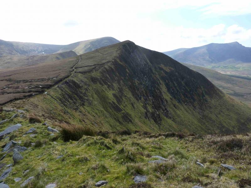
(7) Keeping the very steep slopes on the right, descend WNW to a dip. A track can be followed from just below the summit. Ascend the other side of the dip to reach the the top of Slievenagower, 484 m, where there is no cairn.
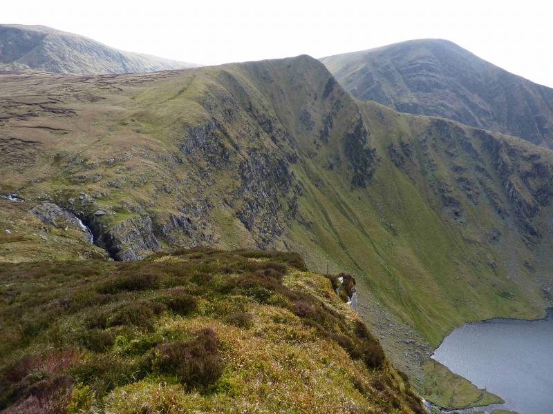
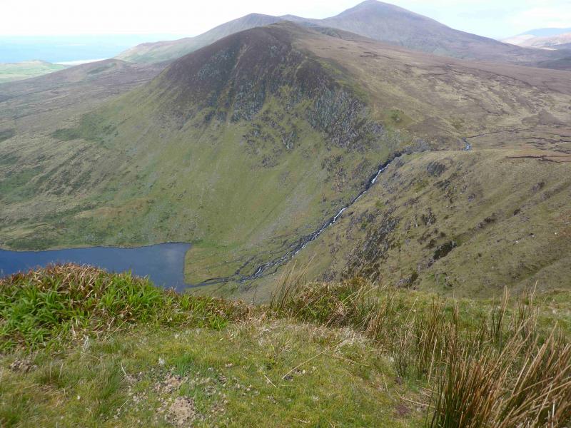
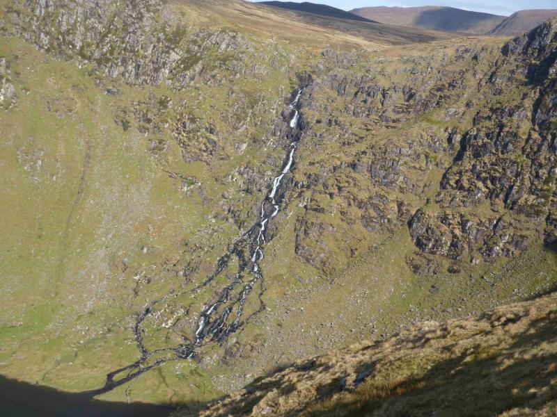
(8) Descend SW then S to reach the stream which feeds the waterfall that tumbles over the cliffs to Loch an Duin. This stream will be difficult to cross in spate conditions and a long detour upstream may be necessary. In normal conditions, the easiest crossing point seems to be on the first right hand bend coming up from the waterfall. Once across, ascend moderately steep slopes to reach the top of Slievenalecka, 456 m, where there is no cairn.
(9) Descend the NNW ridge of Slievenalecka. This is very steep grass and would be quite dangerous if wet or under snow. The easiest line is by the side of a fence. Note that there are a few false ridges which lead to cliffs. The very steep section is short lived and the ridge adopts a more pleasant angle. Follow the ridge, roughly NW, until it runs out then continue around the foot of the N ridge of Slivenea back to the gate at the start. There is one more stream to cross but this should not be a problem except in exceptionally wet conditions. If the above descent from the summit is too steep then continue along the ridge, almost due S, to reach a col from where one can pick an easier route down towards Loch Chom Callain then rejoin the route described above.
Notes
(a) This walk took place on 27th April, 2012.
(b) There is a very good camp and caravan site, near the village of Castlegregory, called the Anchor Caravan Site.. It is very well laid out with good facilities for campers including hot showers for a small extra charge. There is a good campers’ kitchen with tables and sinks if you have your own cooking equipment and pans as well as a fridge and freezer. There is also a sitting room with a TV. Castlegregory is on the N side of the Dingle Peninsula. From Dingle, go over the Connor Pass, then follow the coast road towards Tralee, past Castlegregory (excellent Spar shop here) until signs appear. If you reach a large petrol station/stores on the right, you have gone too far. At the bottom of this site is a gate from where a short path goes over a sand dune to the beach and Atlantic Ocean. Well equipped trailer vans are also available for hire.
Photos - Hover over photo for caption. Click on to enlarge. Click on again to reduce.