Get Lost Mountaineering
You are here: England » Yorkshire Dales » Central & Northern Areas
Nine Standards Rigg from Nateby to Keld Road
Nine Standards Rigg from Nateby to Keld Road
Start/Finish
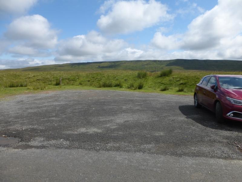
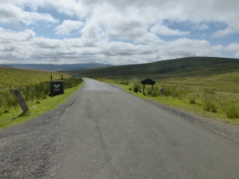
Deep, gravelled car park on the well signed and obvious county boundary between Cumbria and Richmondshire, Yorkshire Dales. This is a little south east of the highest point of the road between Nateby and Keld. There is some verge parking a little closer to the highest point on the road but the return route comes back to this car park. This road climbs to over 500 m so may be impassable in winter conditions. Nateby lies about 1.4 miles south of Kirkby Stephen on the B6259 which leaves the A685, through Kirkby Stephen at some traffic lights. The turning for Keld, onto the B6270, is in the middle of Nateby, by the garage and opposite the pub. It is about 2.5 miles from Nateby to the car park. If coming from Keld, take the B6270, for about 5 miles to the car park.
Distance/Time
8 km. About 3 - 4 hours.
Peaks
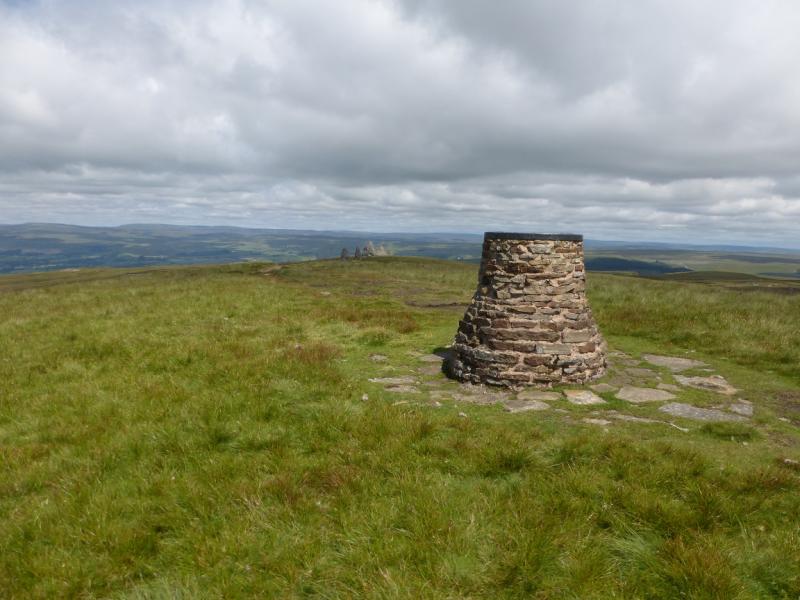
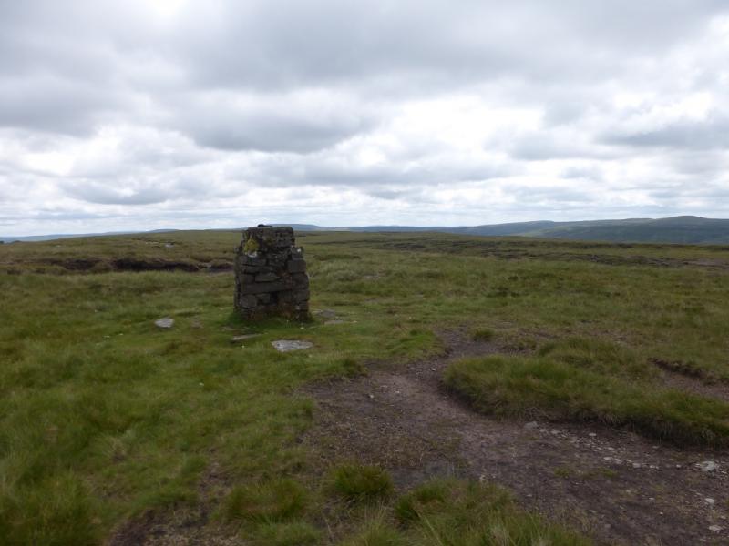
Nine Standards Rigg, 662 m, NY 825 061. OL19 Howgill Fells & Upper Eden Valley
Introduction
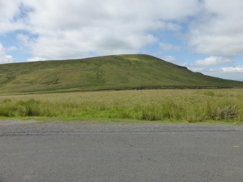
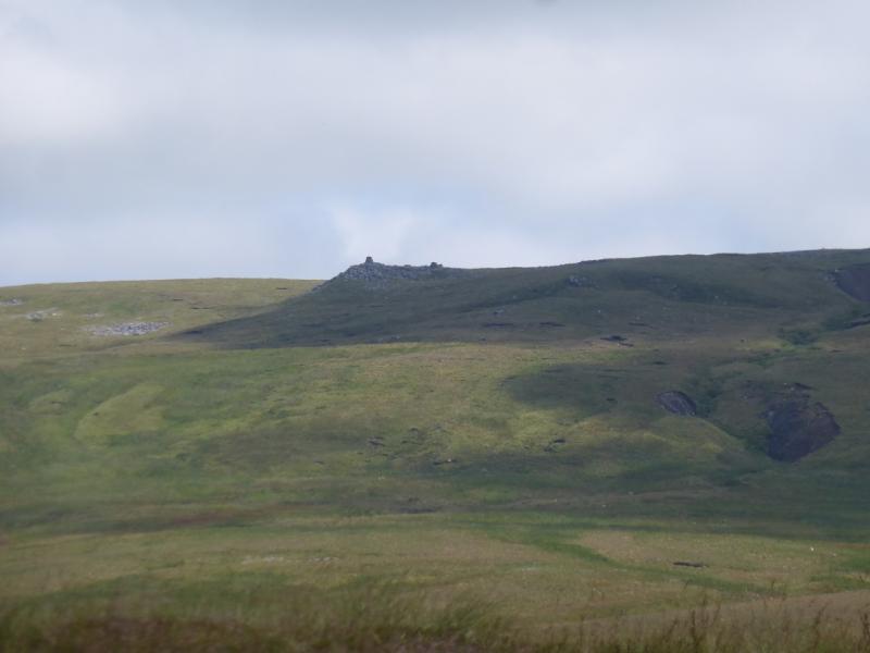
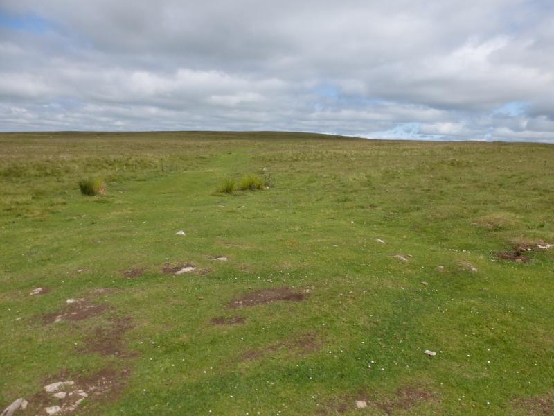
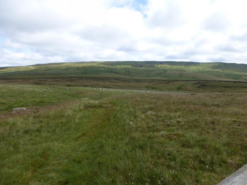
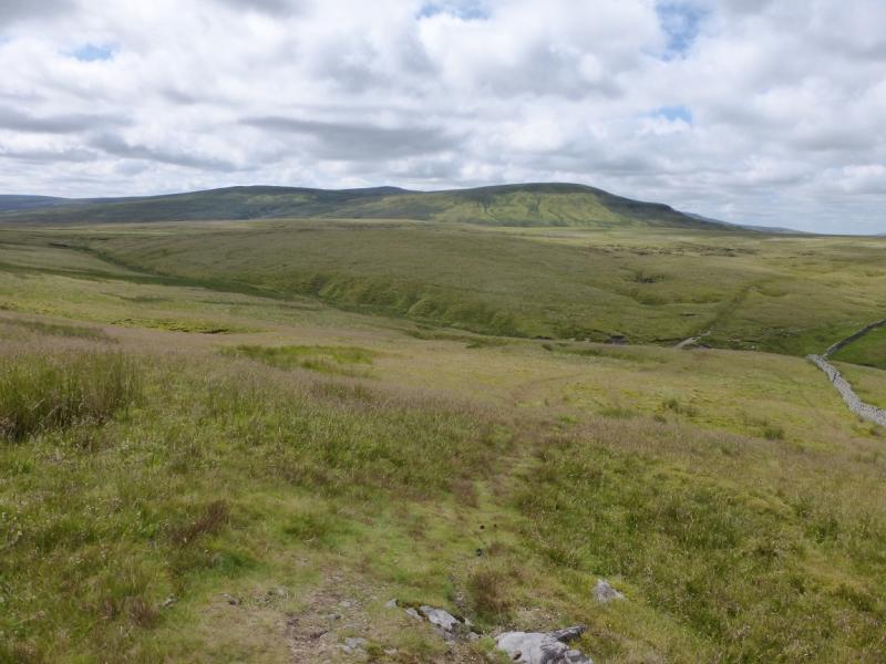
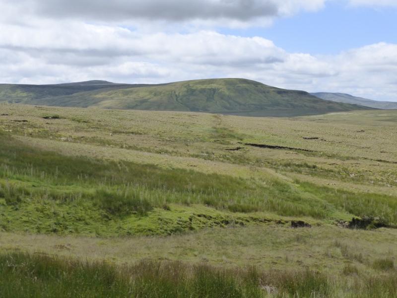
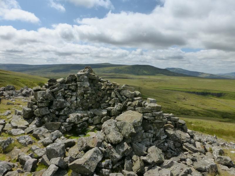
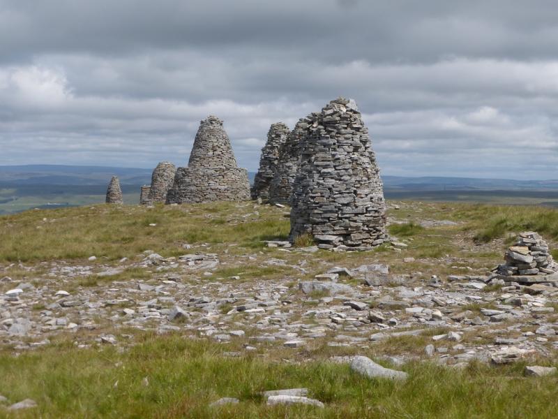
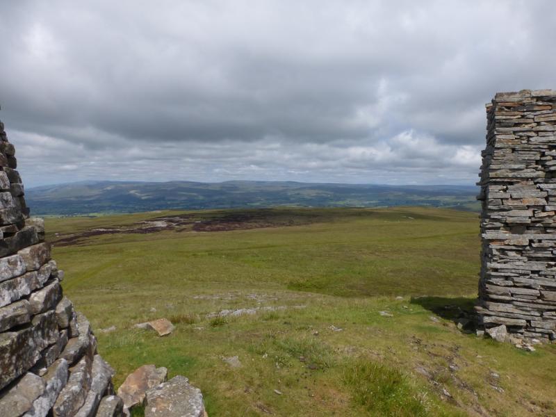
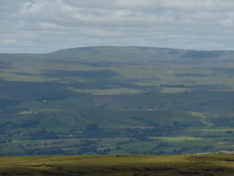
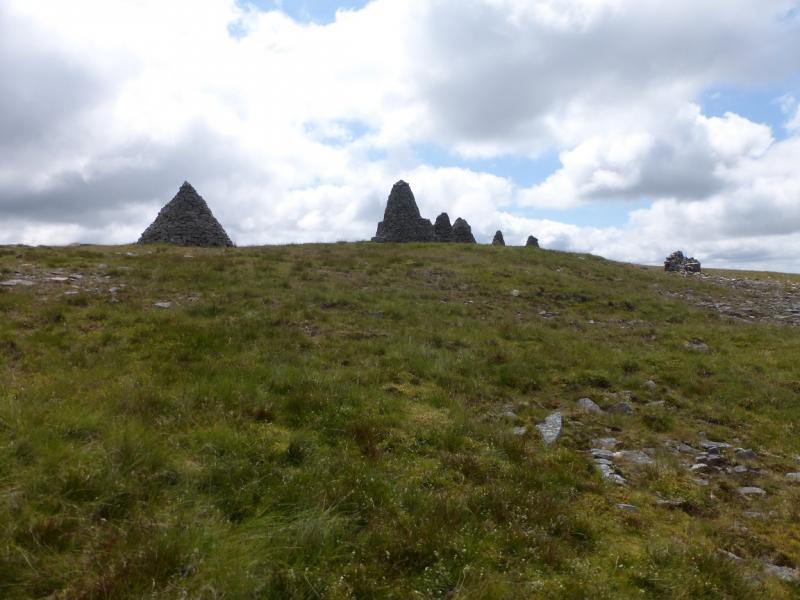
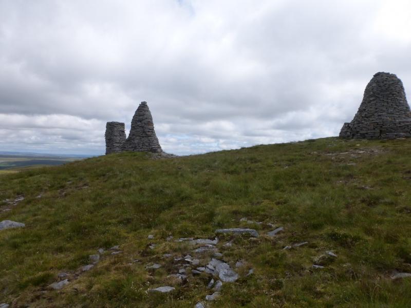
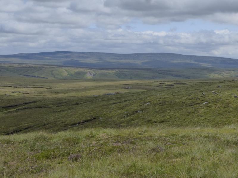
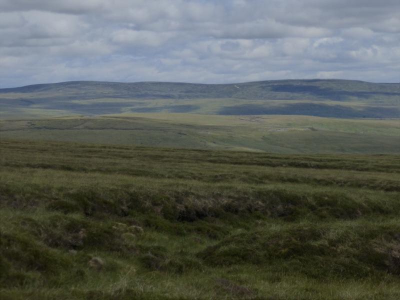
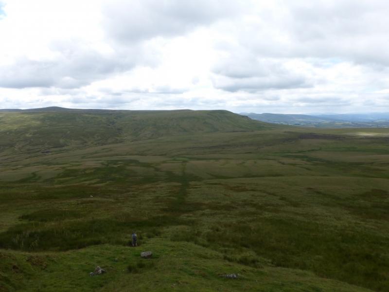
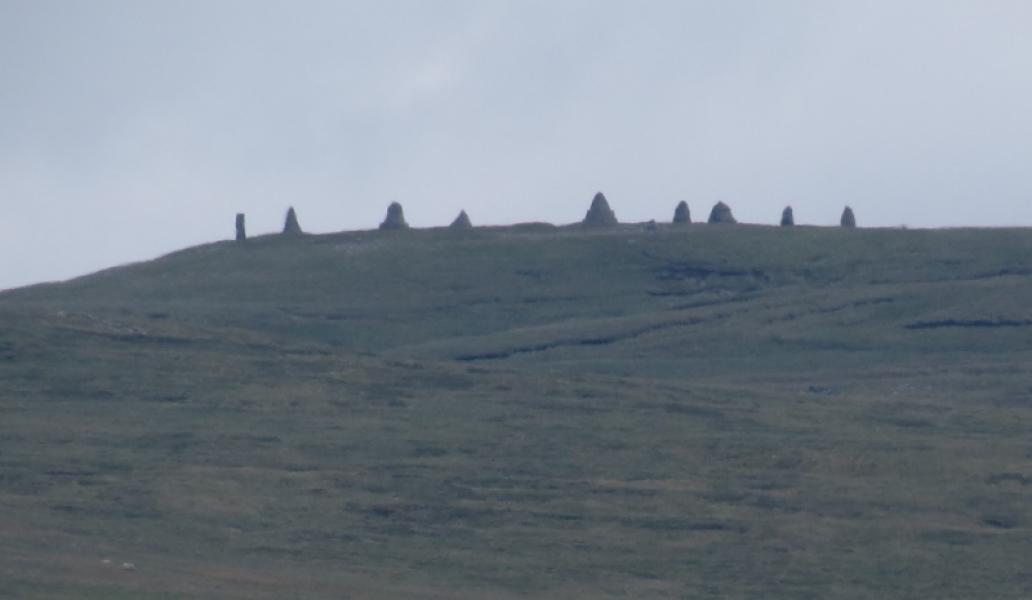
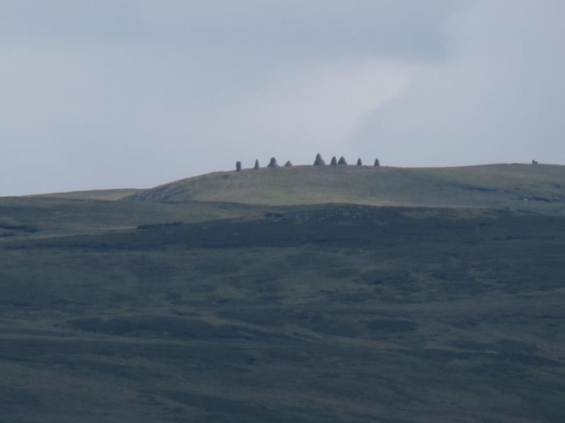
Although Nine Standards Rigg is on the Howgills 1:25 000 map, it is so close to the Yorkshire Dales boundary and so far from the Howgills that it seems best categorised with the Yorkshire Dales and as it is about 5 miles south of the A66, it is clearly in the northern dales. It is not a particularly exciting hill, being typical high moorland and quite boggy in places. If it weren't for it being on the Coast to Coast route (one of its variations), had the nine high stone cairns and was over 2000 feet (610 m), it probably wouldn't see many visitors at all. It is a fairly solitary hill with only High Pike Hill and High Seat (across the Nateby road to the south) being fairly close. In clear weather, there are distant views to Wild Boar Fell, the Howgills, Cross Fell & Mickle Fell range, Rogan's Seat and Great Shunner Fell. It would have to be exceptionally clear to see as far as the Lake District Fells. The route takes an easy path to the summit with some short boggy sections. The return follows the crest south before dropping down pathless slopes and crossing a few boggy sections. In clear weather, cairns can be seen on what seems to be the crest and some will mistake them for the summit but they are Jack's Standards and the summit is further left and back, out of sight.
Route
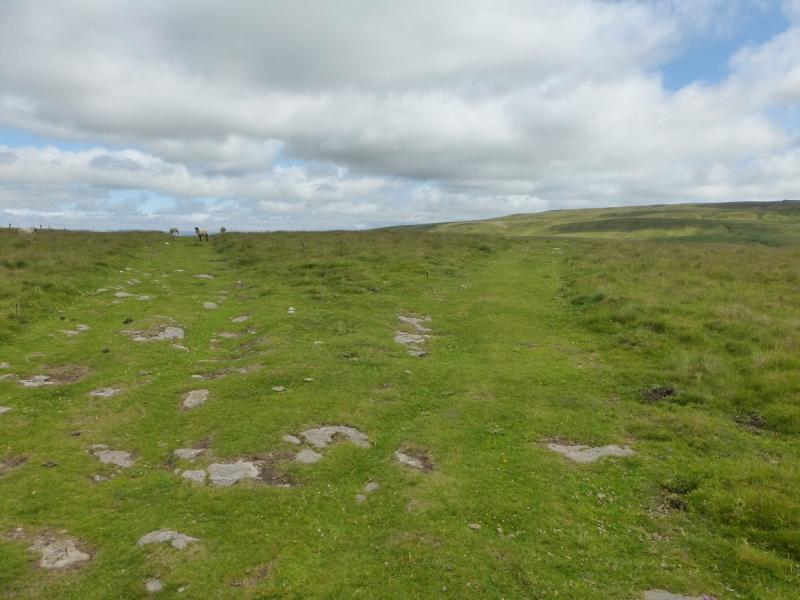
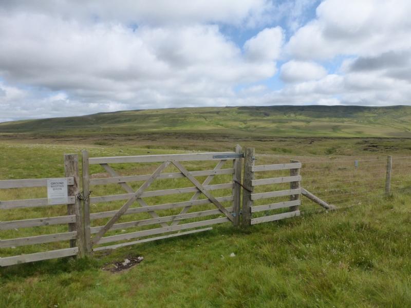
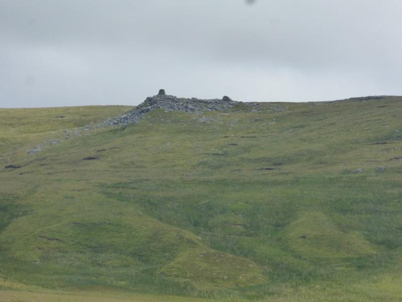
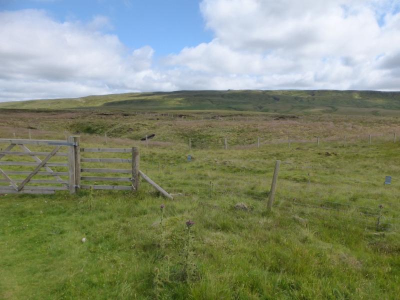
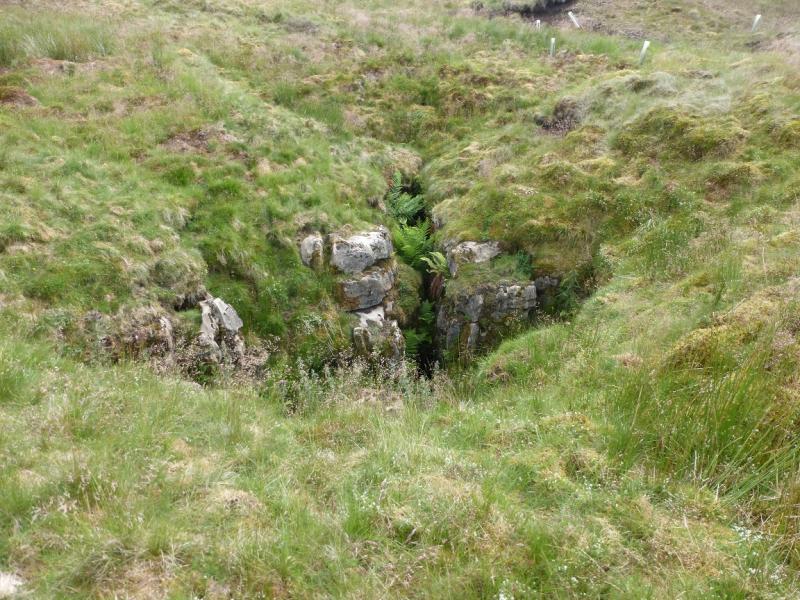
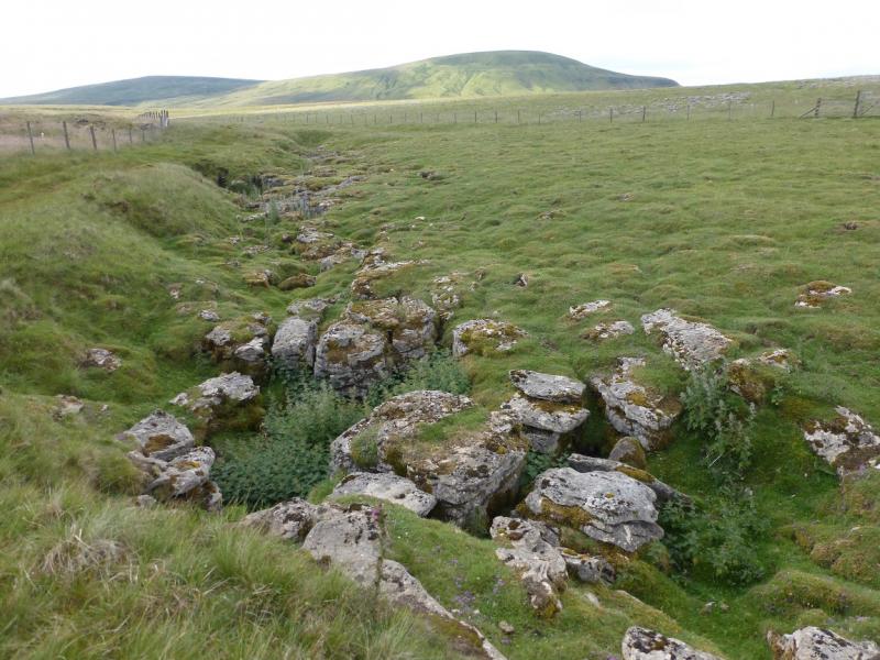
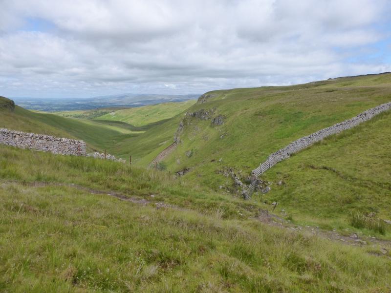
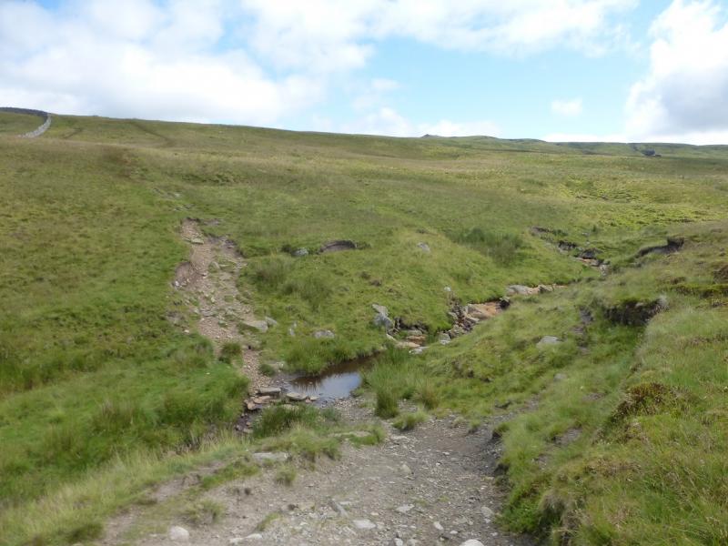
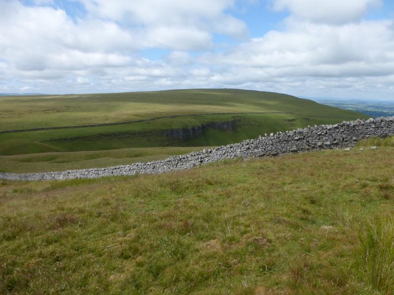
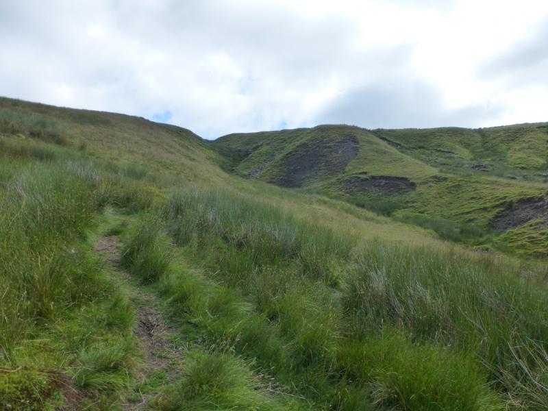
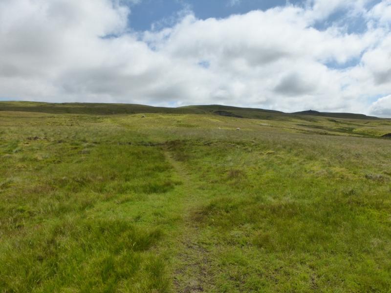
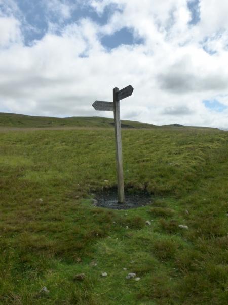
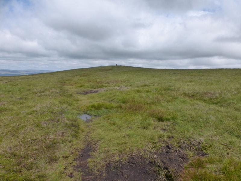
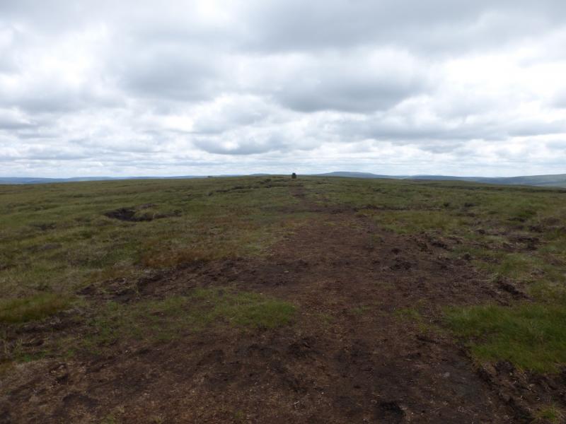
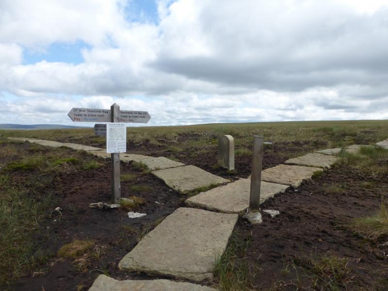
(1) From the car park, walk slightly uphill (towards Nateby) for about 400 m to where a wide grassy path goes off to the right, north. Follow the path, through some gates. When the path splits, take the right fork. Continue, passing some sink holes and possible potholes. Cross Rigg Beck at the head of Dunderdale which has limestone crags on either side below the crossing. Continue on the path to cross Rollinson Gill (wide gully) and continue up with the gully on your right to reach an old ruin which looks like a cairn from below. Continue across Rollinson Hags, passing a Coast to Coast signpost. which may involve some detours off the path to avoid boggy ground. Reach a cairn on the crest which is not the summit but a viewfinder cairn. The Nine Standards should be clearly visible to the north unless visibility is very poor. They are nine large cairns. Retrace to the viewfinder cairn then continue beyond to soon reach the trig point which is the summit of Nine Standards Rigg, 662 m.
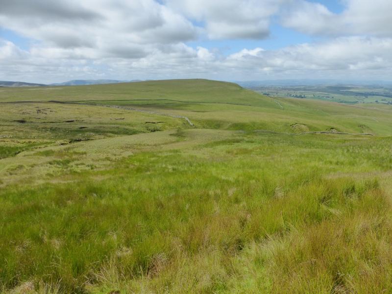
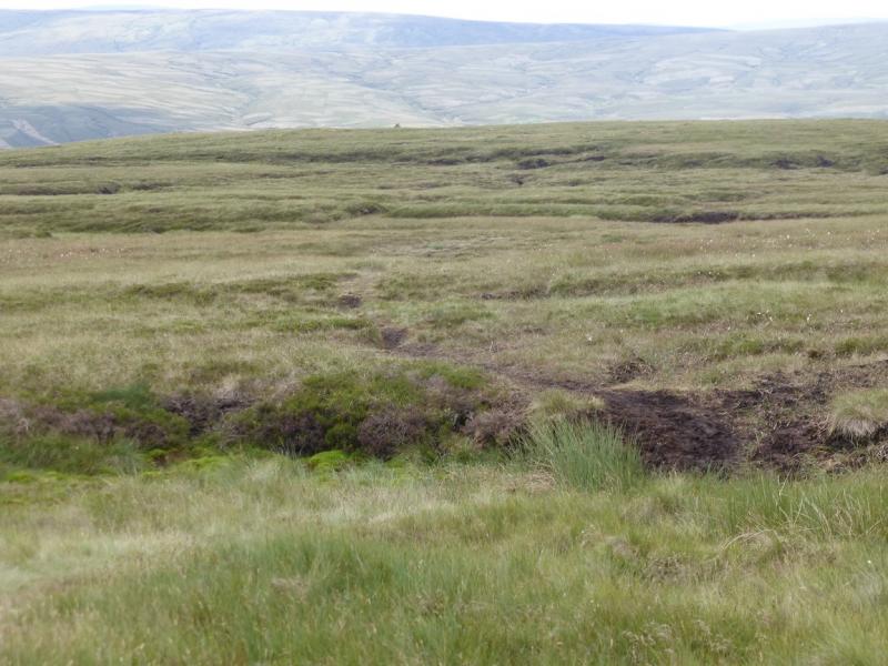
(2) The easiest return is to retrace the outward route which would also allow a short detour to Tailbridge Hill which offers good views to the west. This route continues past the trig point following the obvious path along the crest. The path has had a little work done on it and is slabbed in places but there are still a few wet patches. Ignore a path going left soon after the trig point then reach a signposted T junction and continue ahead (Ravenseat via Nay Gill). This path is not so good in places. It continues towards a pillar and becomes increasingly boogy. When a long line of boggy moss seems to block progress, leave the path and go right, west, to get around the long line of moss which is too soft to cross and you may end up waist deep in it. This is about 400 m before the pillar. Once around the moss, head roughly west and down the pathless slopes trying to avoid the long grass but it is hard going for a while. Cross at least one stream after the ground levels out and continue to reach the road by the car park. There is a wooden stake on the land behind the car park which may be seen on approach. In clear weather, aiming for High Pike Hill, just across the road, will help with direction finding.
Notes
(a) This walk took place on 13th July, 2021.
(b)If two cars are available, one could be left at Ravenseat, if allowed, or close to where the Ravenseat road leaves the B6270. There is a tea room at Ravenseat which may appeal to some. It is best to check opening times before visiting.
Photos - Hover over photo for caption. Click on to enlarge. Click on again to reduce.