Get Lost Mountaineering
You are here: England » North Pennines
Burnhope Seat from Durham - Cumbria Border
Burnhope Seat from Durham - Cumbria Border
Start/Finish
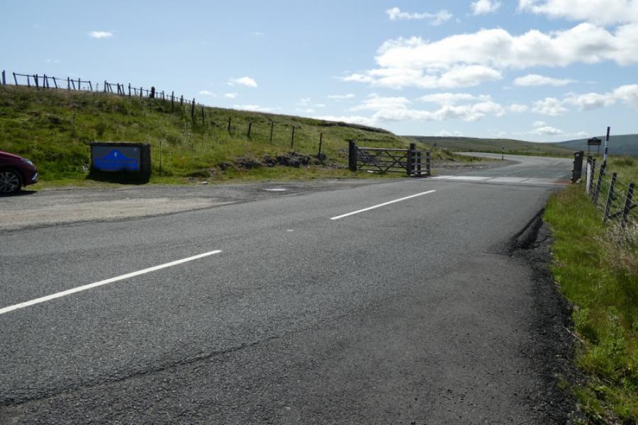
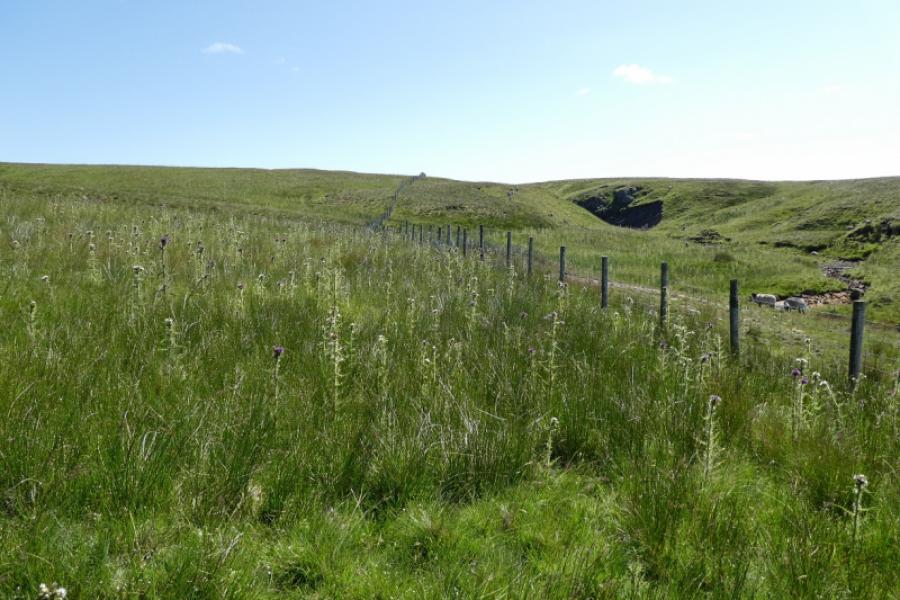
The cattle grid on the Durham – Cumbria border on the B6277 road from Middleton-in-Teesdale to Alston. This is about 7 miles south of Alston and about 12 miles north of Middleton-in-Teesdale (via Langdon Beck where there is a youth hostel). The start can hardly be missed because of the cattle grid, the boundary signs and there is gravel parking on both sides of the cattle grid. The start is almost at 600 m altitude so may be diffciult to reach in winter conditions. The area is snow prone with their being ski centres just to the north and south. In the summer, the drive to the start is very scenic.
Distance/Time
5 km About 2 – 3 hours
Peaks
Burnhope Seat, 747 m, NY 785 375.
OS 1: 50 000, Sheet 91. OL 31: North Pennines
Introduction
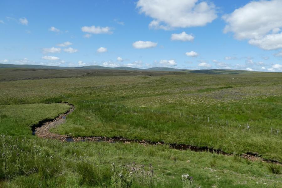
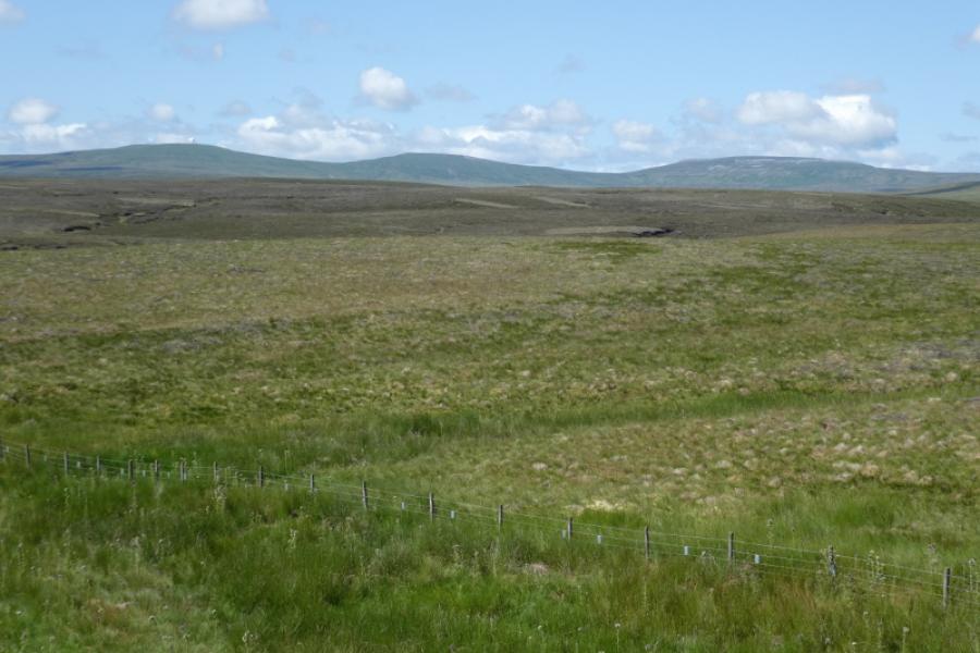
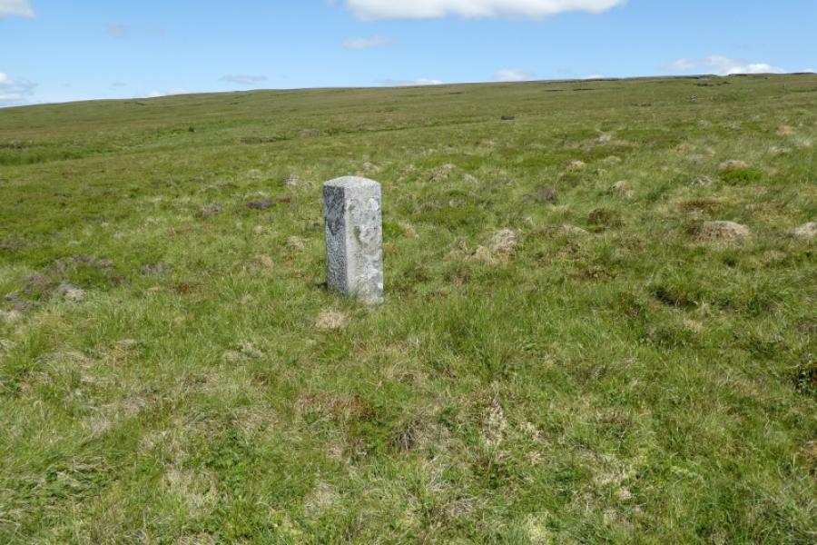
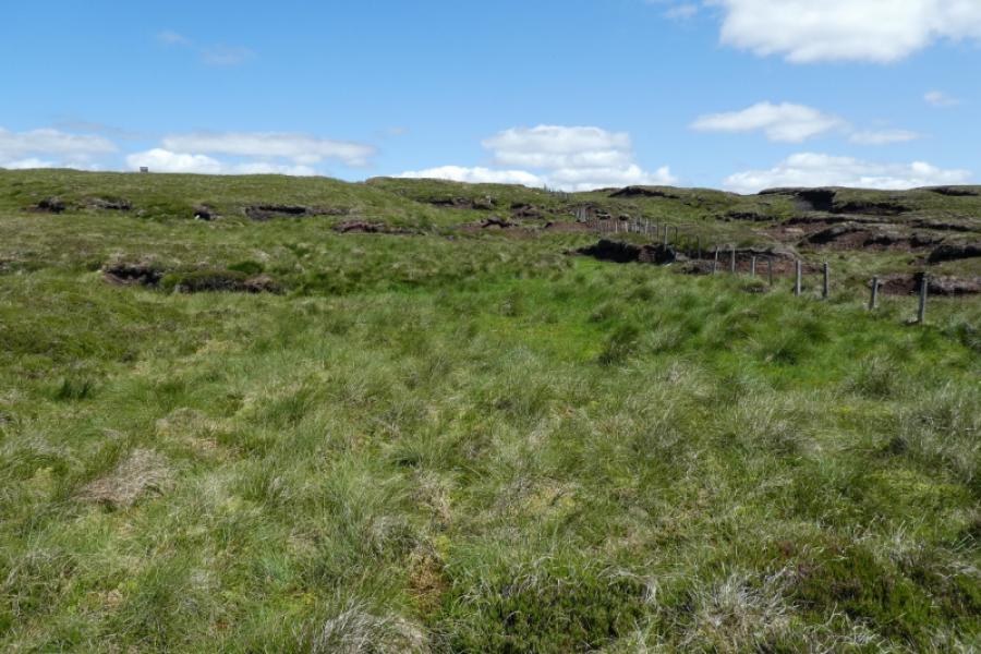
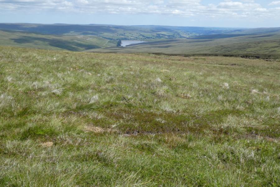
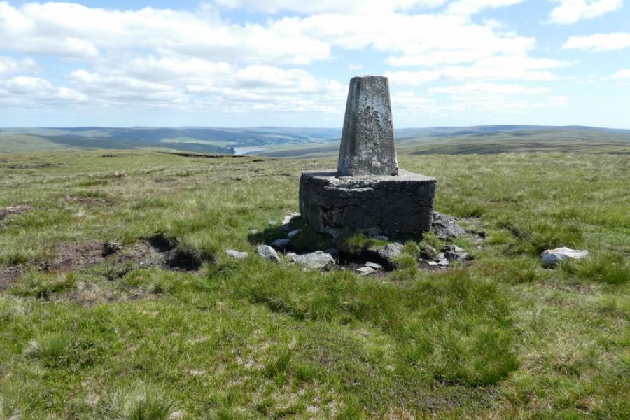
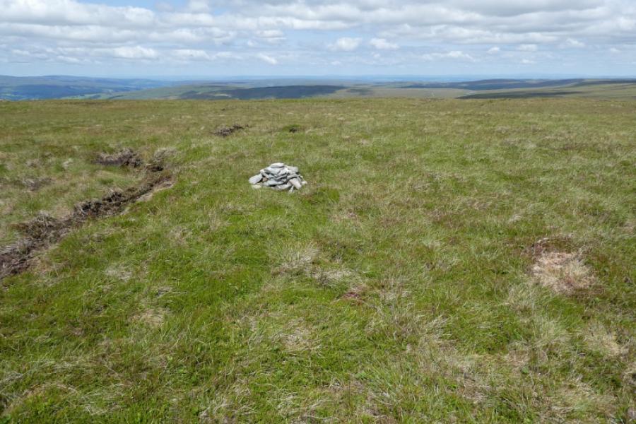
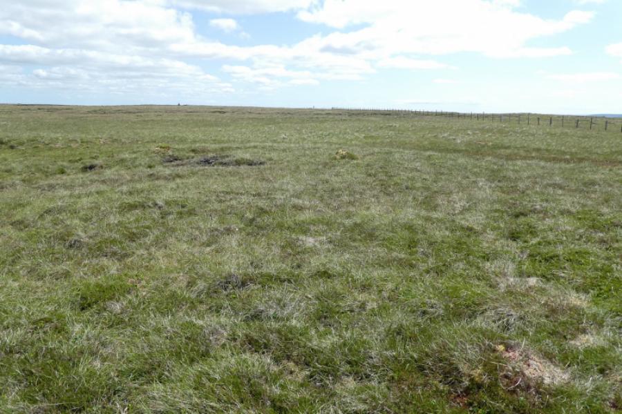
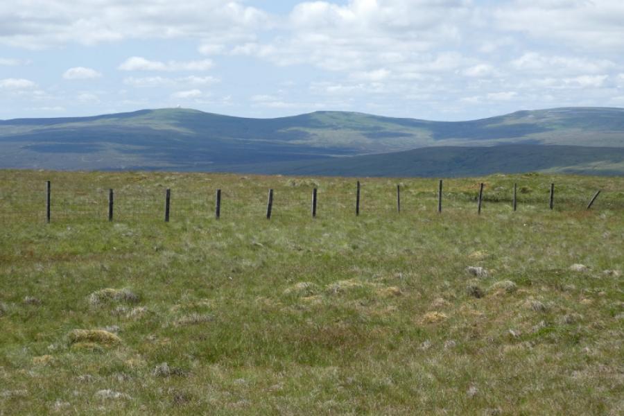
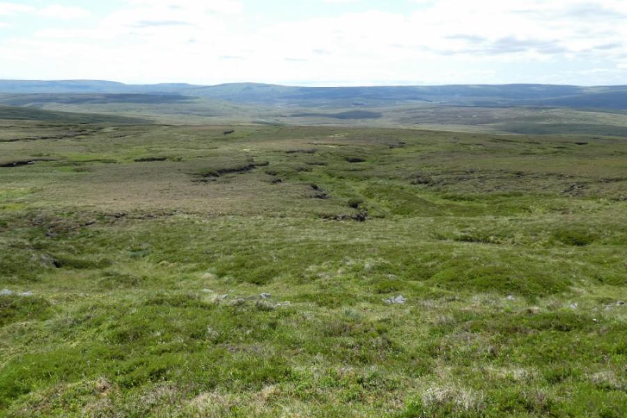
Burnhope Seat is the highest point of a long, high moorland ridge. There are many online reports about this being an exceptionally boggy hill but, in a warm and dry spell, there is nothing to worry about on the route described. Navigation is very easy especially to the trig point but that is not the highest point. Again, there are various online accounts of where the true summit is but there is only one place where there is a cairn and a small cairn at that and it is also easy to locate. Unusually, the true summit is correctly shown on sheet 91 (1996) but not on OL 31 (2002). Good visibility is recommended for this walk to enjoy the views to the Cross Fell range and down to Burnhope Reservoir. Paths are hard to find but he ground isn't that rough anyway. The start goes through a patch of thistles so shorts may not be sensible at this time of year! This route just goes to the summit and back.
Route
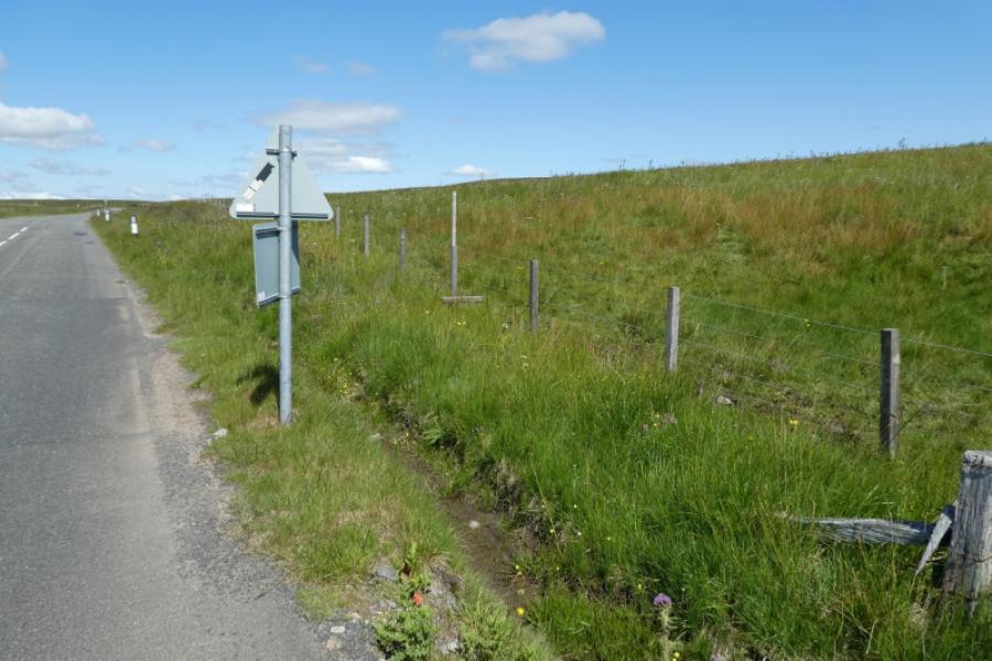
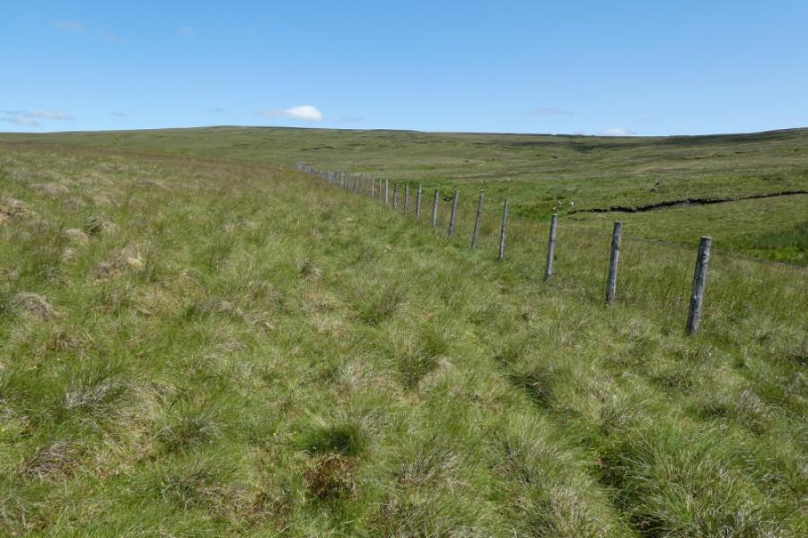
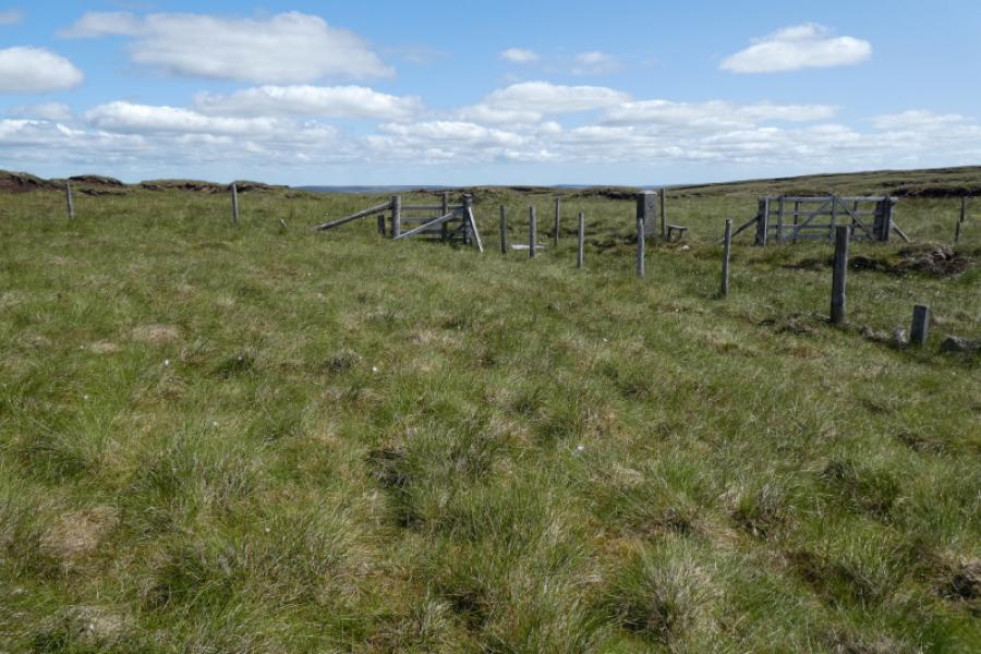
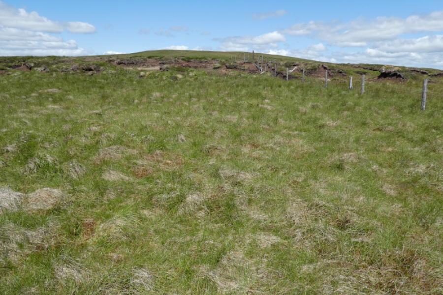
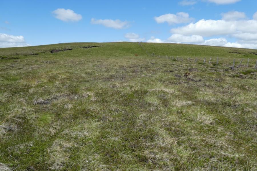
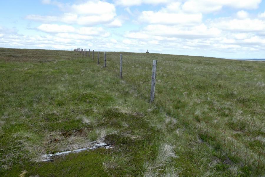
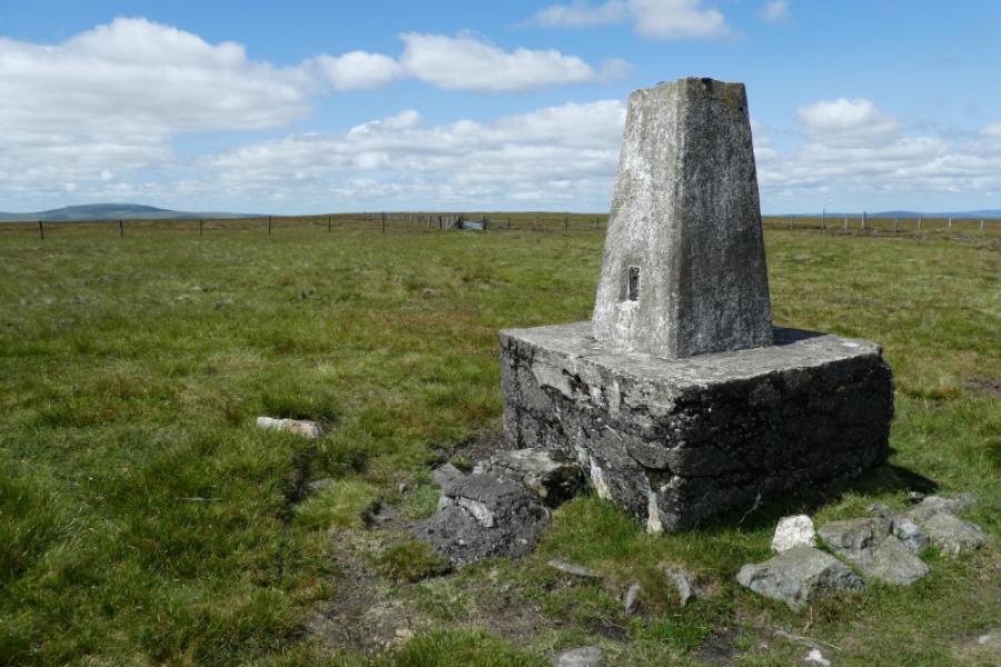
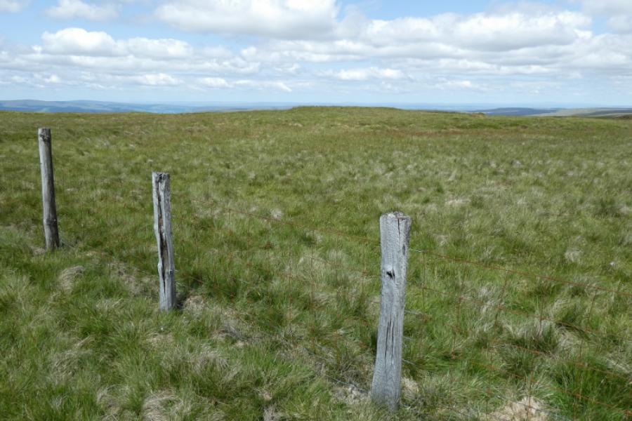
(1) On the Cumbria side of the border, close to a sign, is a small, simple stile going over the fence by the road. Cross over then follow the fence uphill. For much of the way there is a faint footpath and there are grouse butts over to the left. Some pillars are passed which mark the historical boundary. There are a few peat “cliffs” to go around but no major detours are needed. Eventually reach the fence on the crest. Turn left, NW initially, and follow it uphill with similar peaty ground in places. When the ground levels out, the trig point should easily be spotted across the fence you have been following. Reach a fence junction, cross over, walk to the trig point then retrace back over the fence.
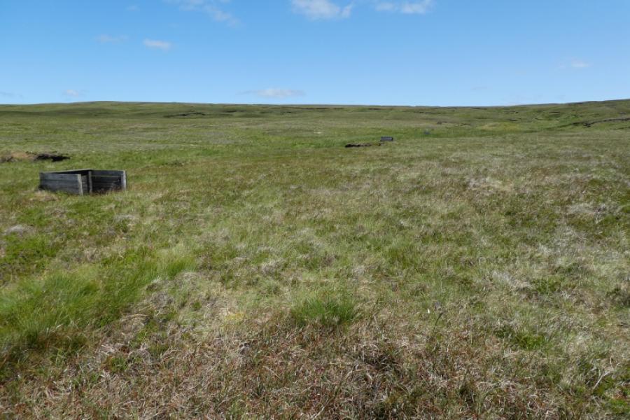
(2) Follow the fence going W, along thefeatureless crest, for about 350 m (from the trig point). In clear weather, you will see a grassy mound, over the fence, with a very small cairn on it. Cross over and walk to the cairn which seems to be the true summit (1 m higher than the trig point) of Burnhope Seat, 747 m. There might possibly be a higher point but that could only be determined by very accurate height measurements, you won't see anywhere which looks higher.
(3) Retrace back over the fence and either retrace the outward route or just head slightly west of south down easy but moderately rough slopes. In clear weather, the road will be visible then the parking area.
Notes
(a) This walk took place on 17th July, 2021.
Photos - Hover over photo for caption. Click on to enlarge. Click on again to reduce.