Get Lost Mountaineering
You are here: Scotland » 02 River Tay to Rannoch Moor » Glen Lochay Hills
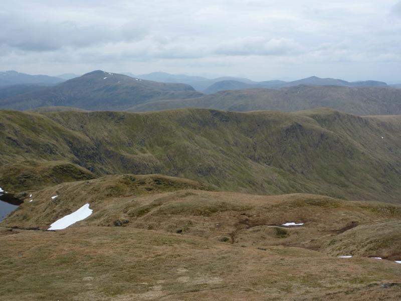
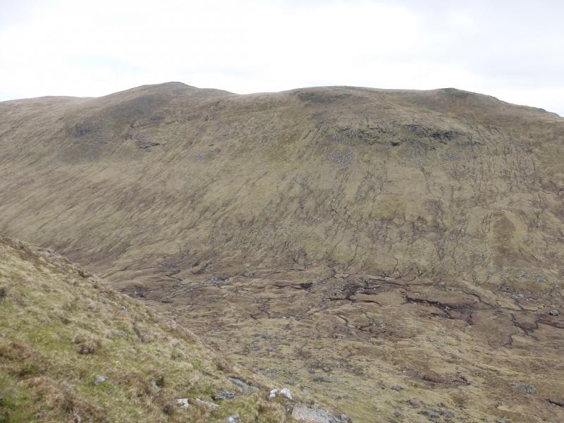
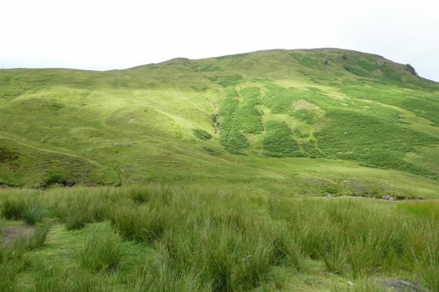
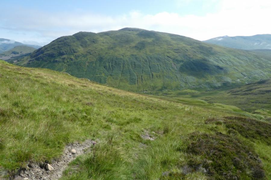
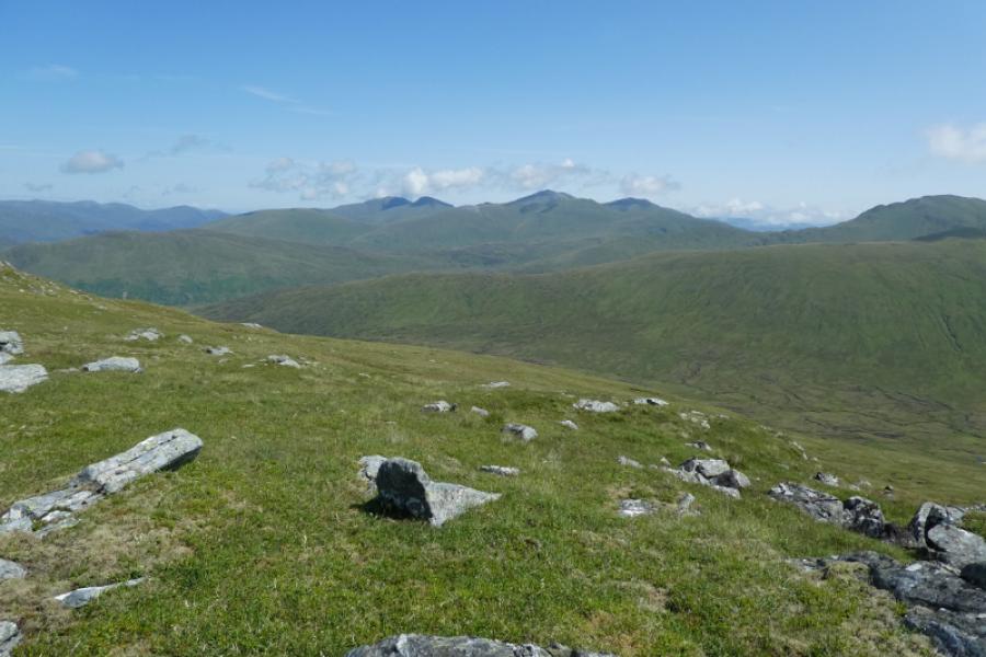
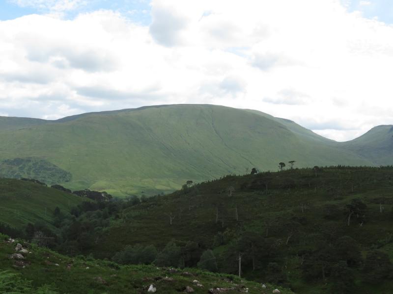
Beinn nan Oighreag from the East
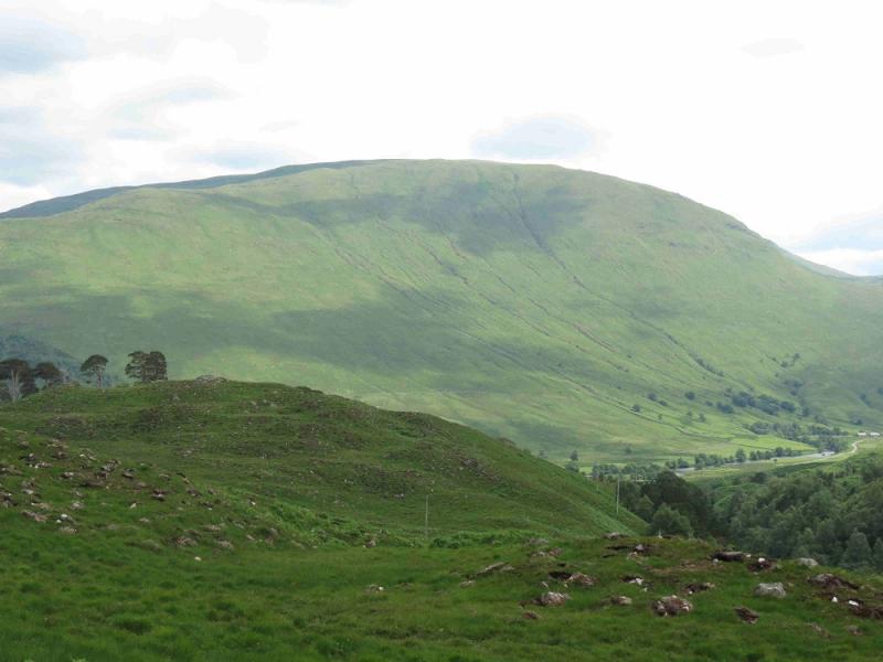
Beinn nan Oighreag from the East
Start/Finish
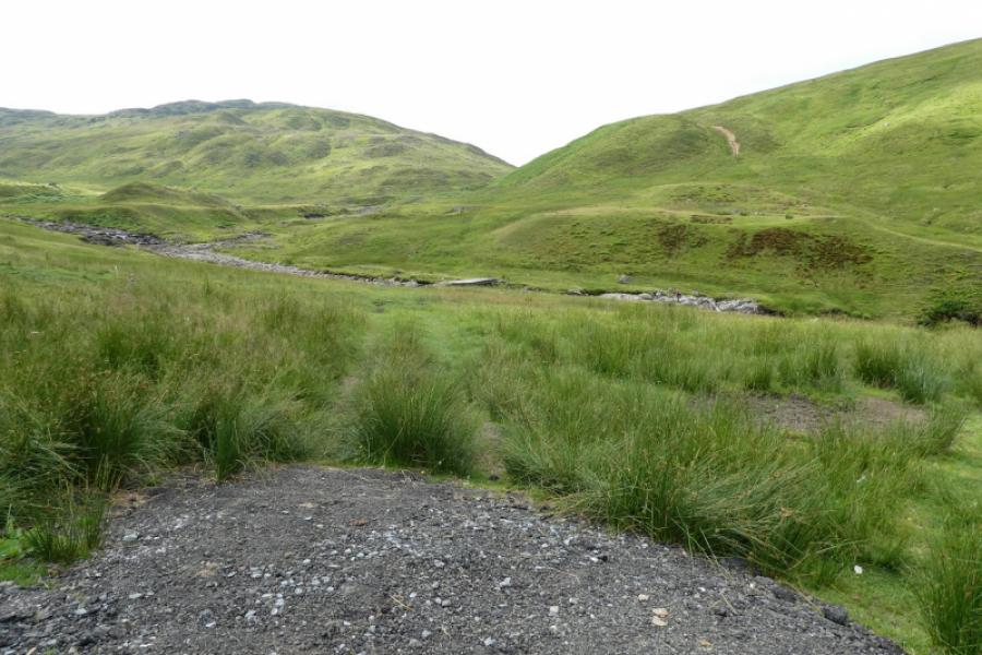
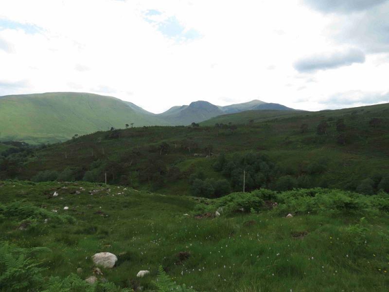
About 2.2 miles above Bridge of Balgie (Glen Lyon) on the road over to Loch Tay. After passing the Meggernie Estate large car park on the left at about the end of the forestry, look for a deep and rough parking place on the right which can take about 5 cars. Behind the parking place is the Allt Bail a' Mhuillin river over which you should see a flat wooden bridge slightly upstream from the parking place. A little further upstream, the river splits. Behind the bridge, you should see a steep gravel track going up the hillside for a short distance. If coming from Loch Tay, as many will, drive over the high pass past the dam and loch. The road turns north at about where there is a small green hut. It is about a mile further, downhill, to the parking place which is just after another significant stream comes in from the left. The approximate grid reference of the parking place is NN 572 437. Note that the pass is not gritted so may be impassable in winter conditions so one may have to drive up Glen Lyon from Fortingall to Bridge of Balgie and hope access is possible to the start.
Distance/Time
9 km. About 4 – 5 hours.
Peaks
Beinn nan Oighreag, 909 m, NN 542 412. OS Sheet 51: Loch Tay
Introduction
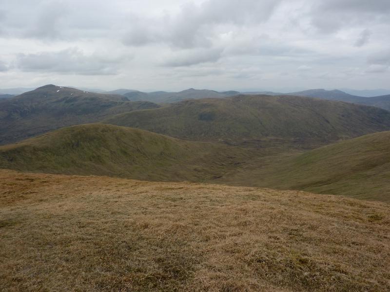
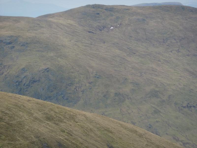
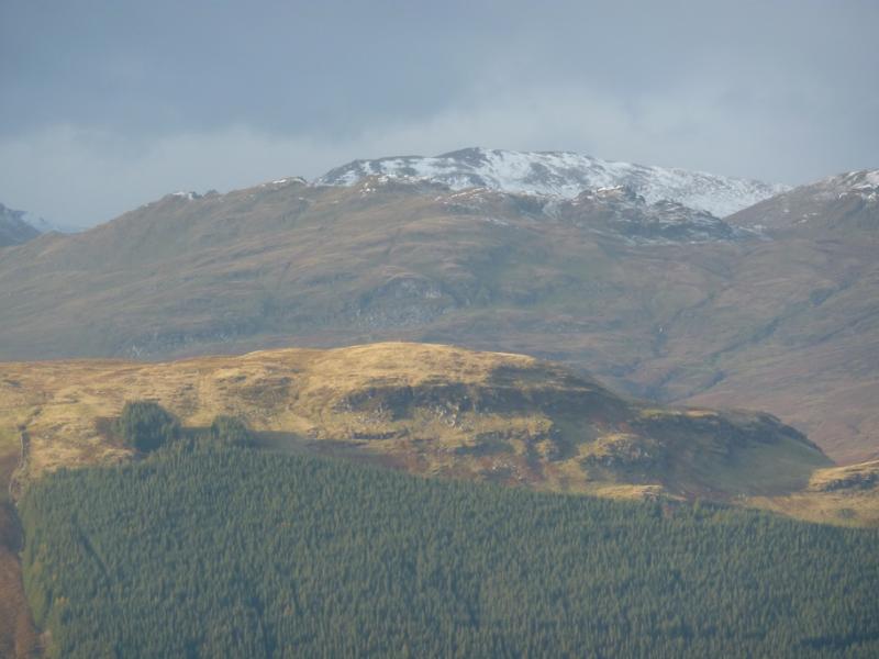
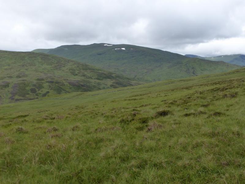
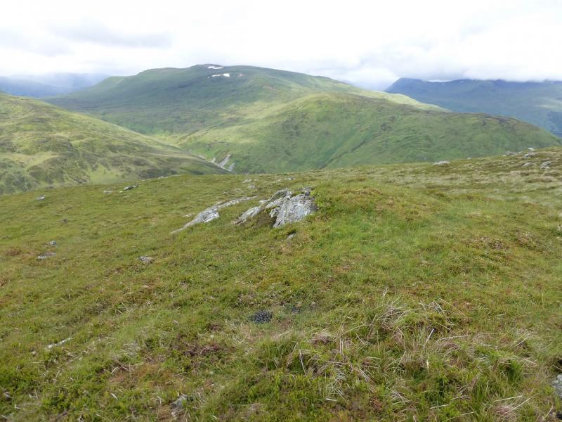
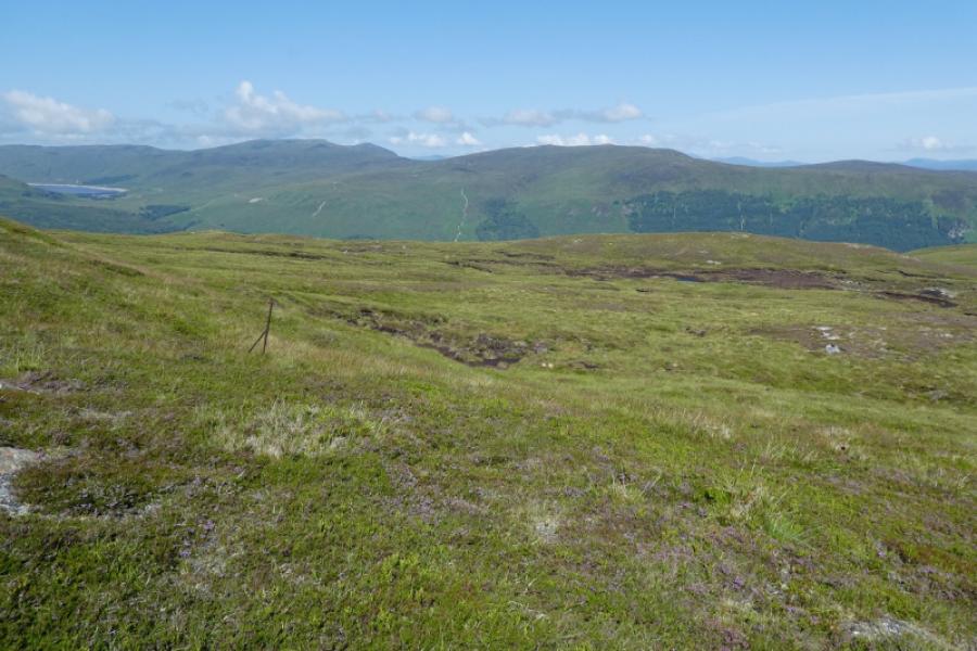
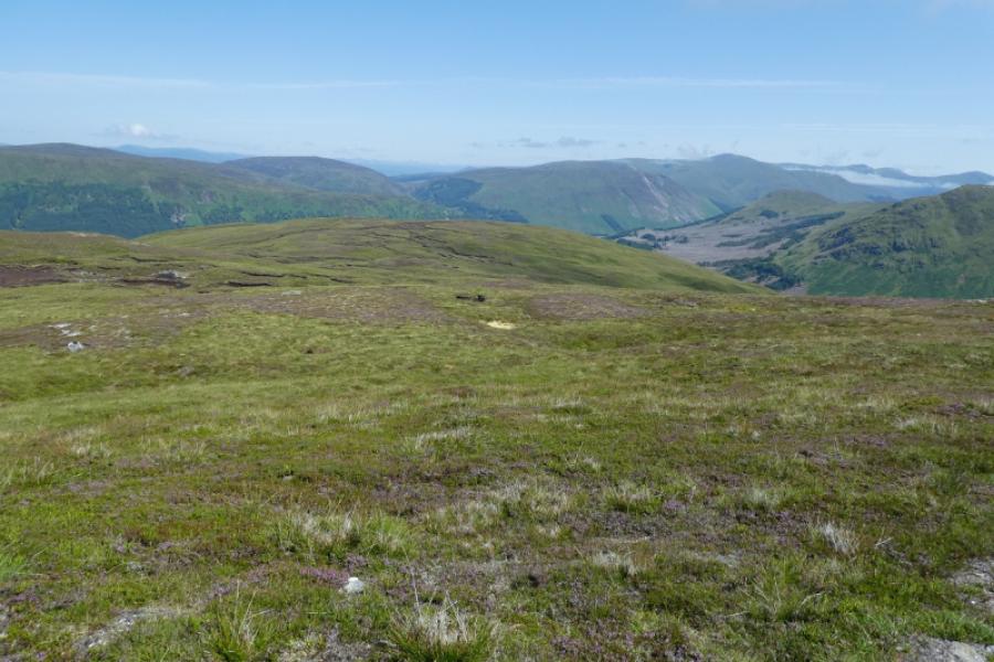
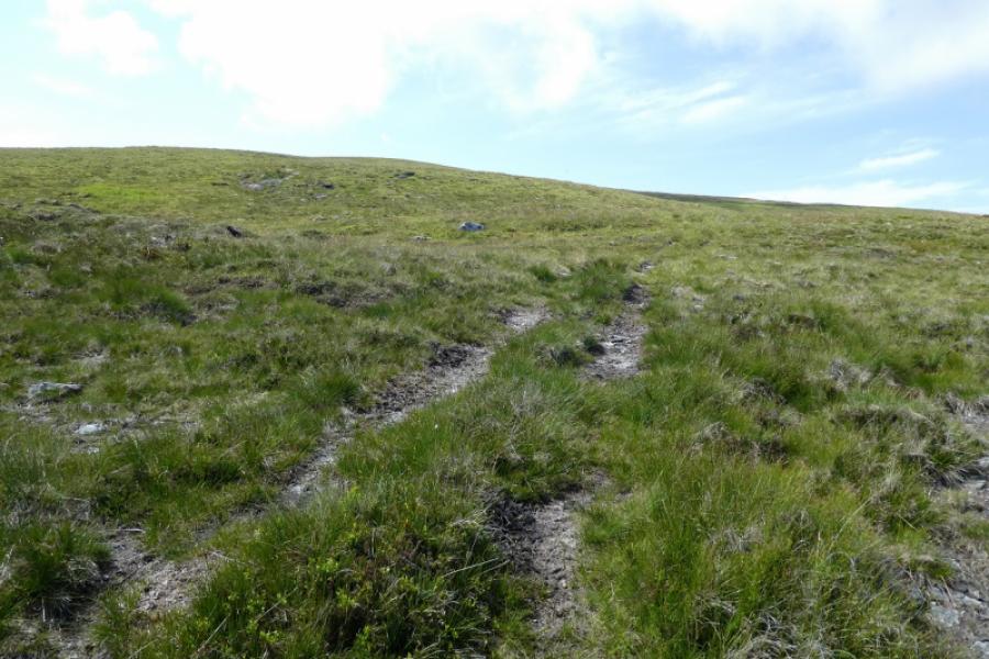
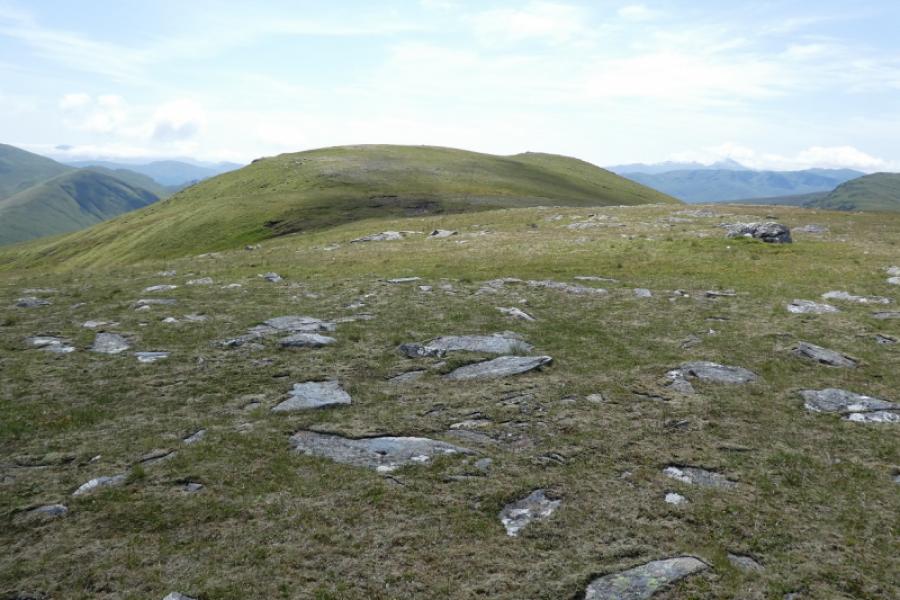
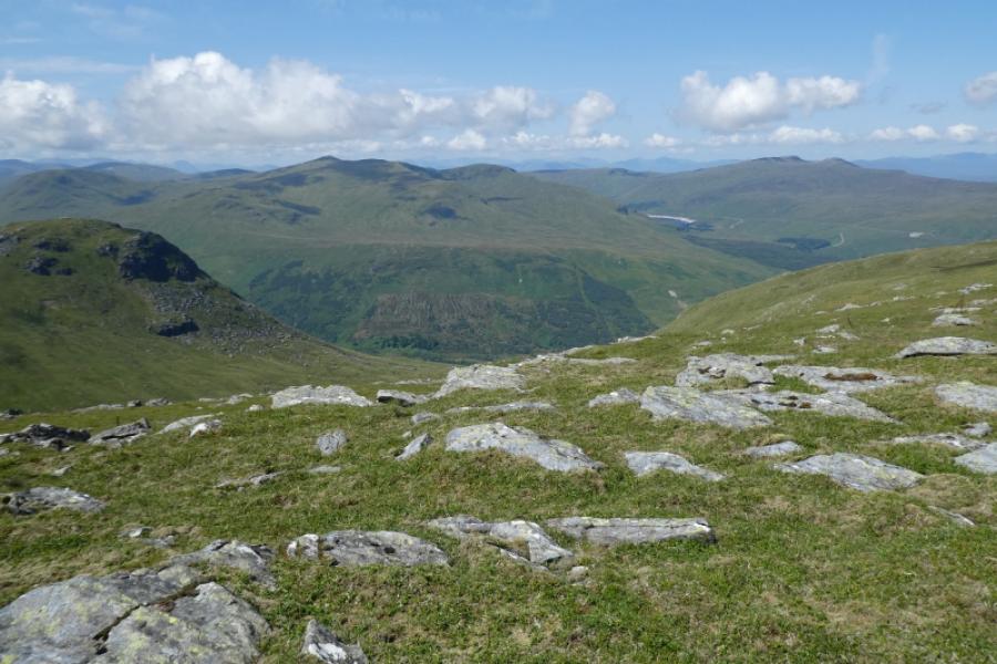
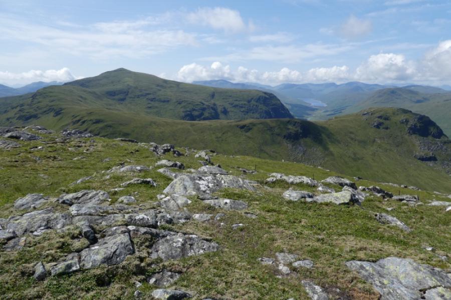
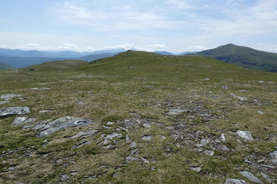
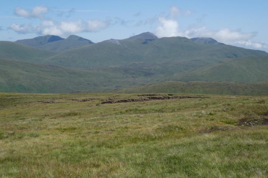
Beinn nan Oighreag is a mainly grassy hill with little in the way of rock. This gives it a high moorland feel but it also means it can be quite mossy and boggy so best visited during a dry spell. This route follows an ATV track from the start to the summit which makes for easy navigation although this is a hill for a clear day as it is an excellent viewpoint for the Ben Lawers rane, the Meall nan Tarmachan range, Meall Ghaordaidh (adjacent), Stuchd an Lochain, Meall Buidhe, Cam Chreag and the Carn Gorm range. Further away, Schiehallion, Ben More and Stob Binnein can be seen. Given the nature of the hill, the track varies between stony, faint and grassy, peaty, mossy and boggy. The advantage of this route over the more common approach from Glen Lochay is that it is much shorter, the route is easier to follow and there are no potentially awkward sream crossings. However, those wishing to include Meall Ghaordaidh have little option but to start from Glen Lochay and this route is also posted.
Route
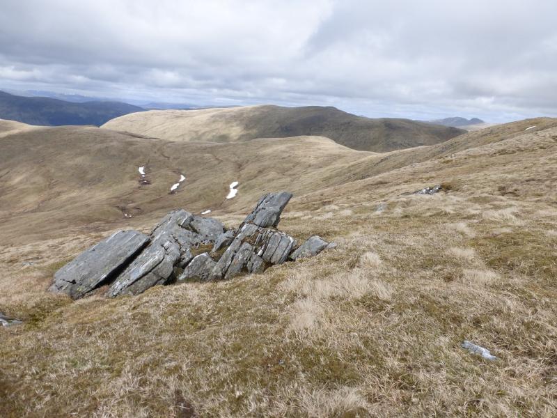
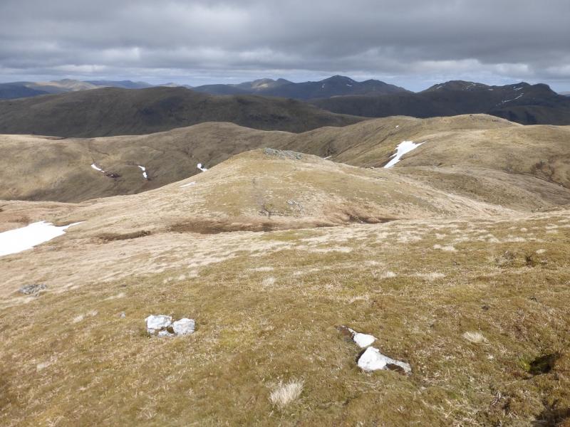
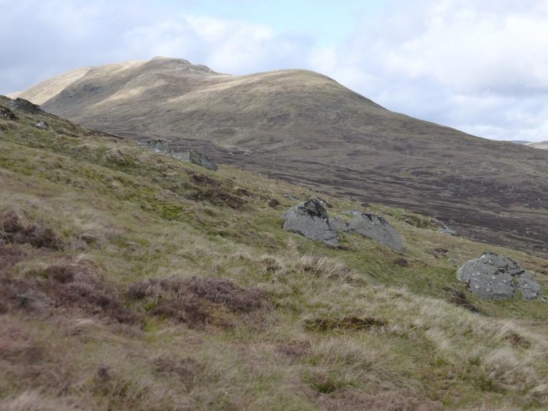
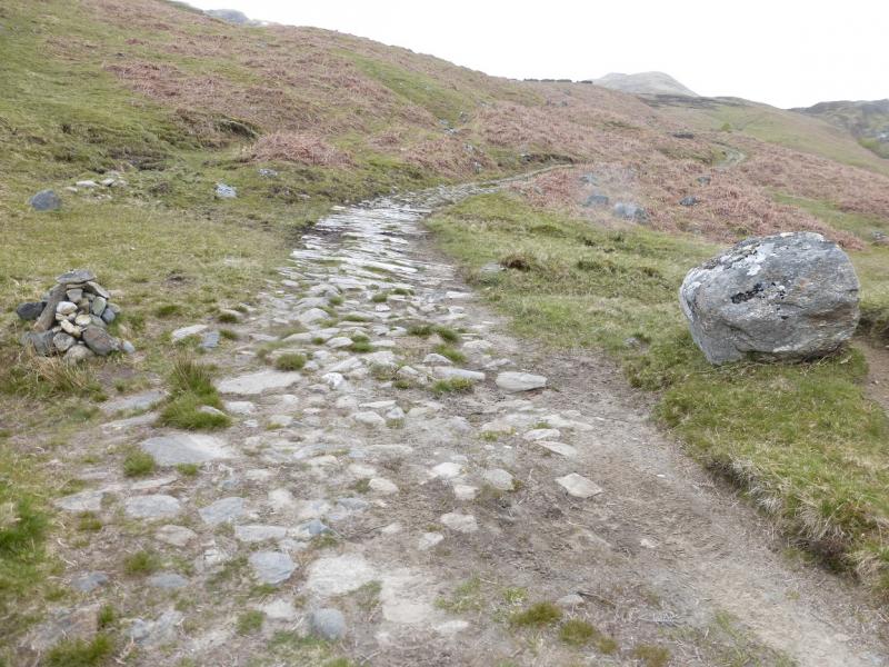
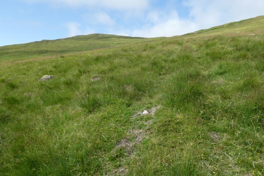
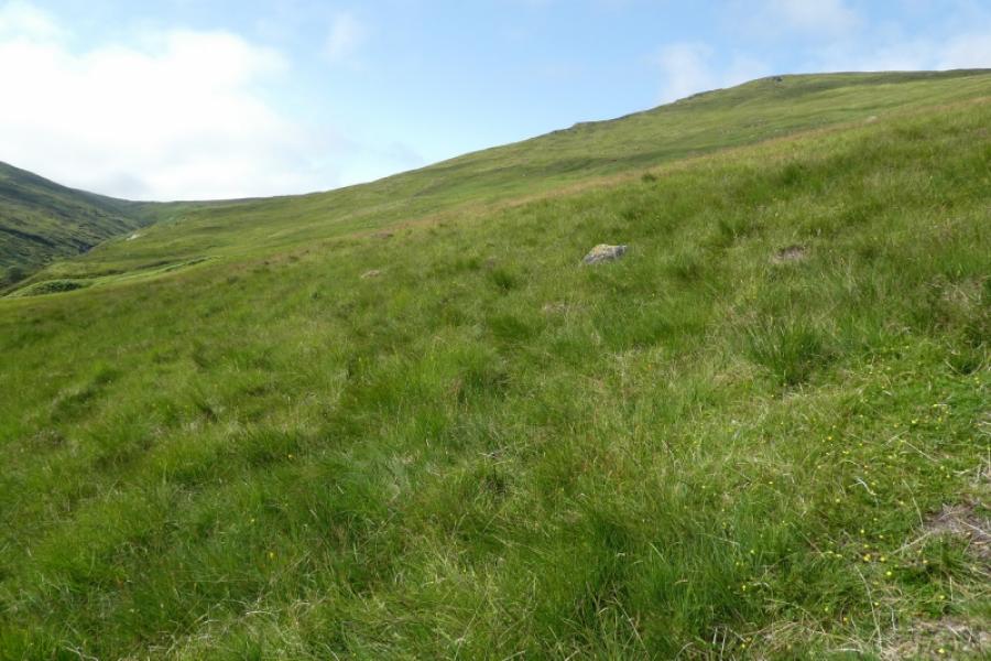
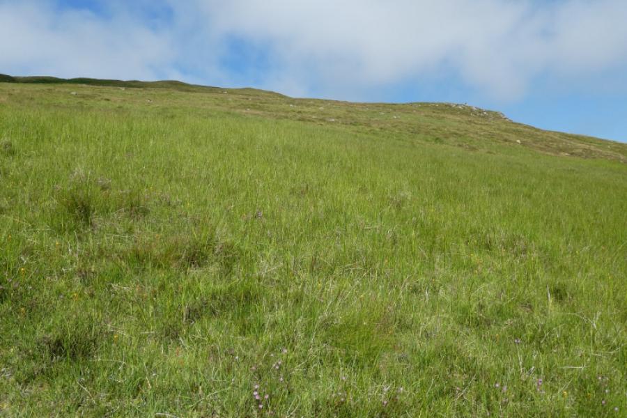
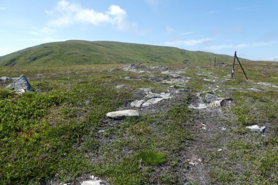
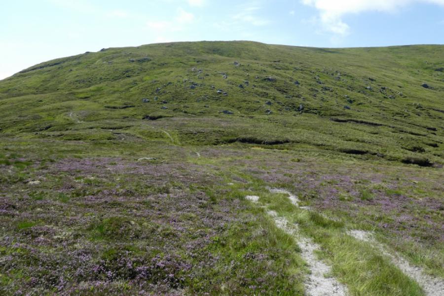
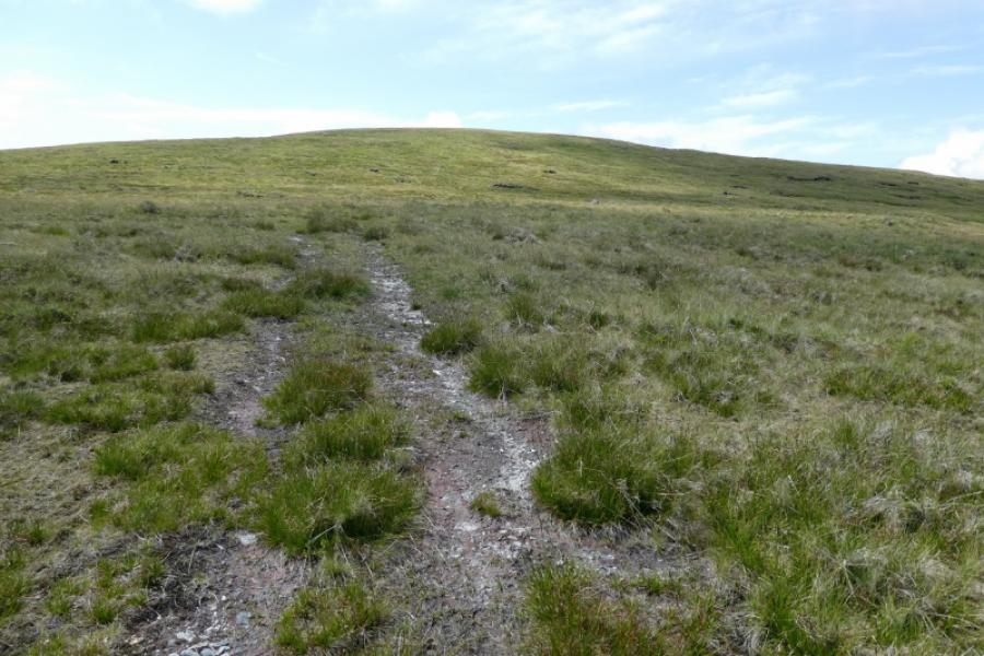
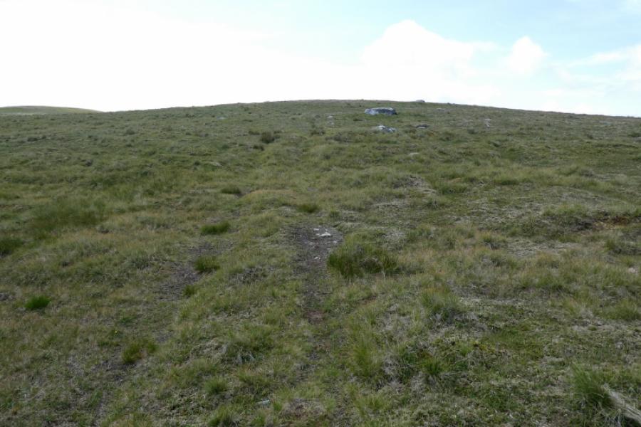
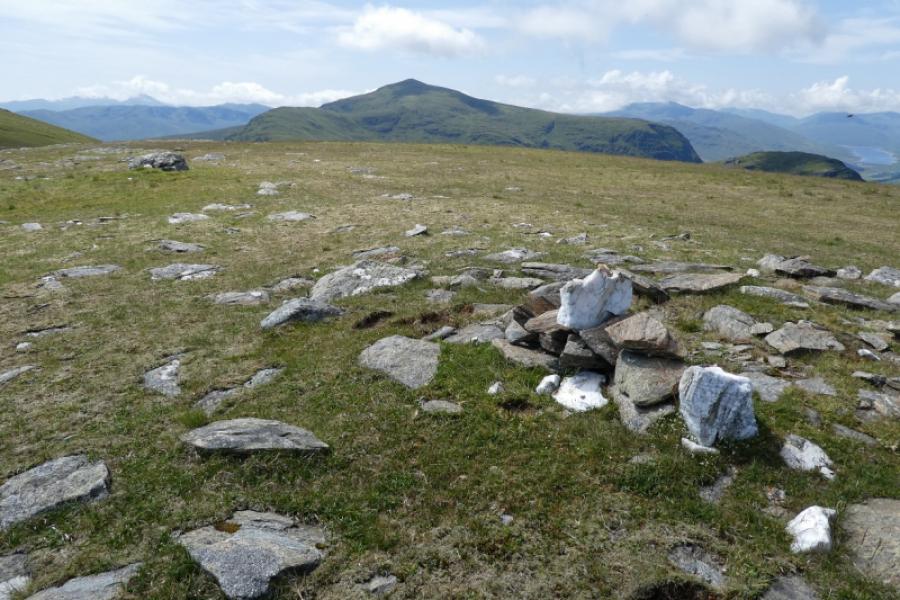
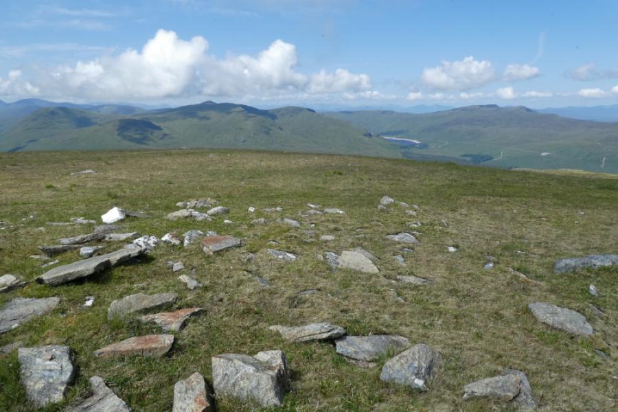
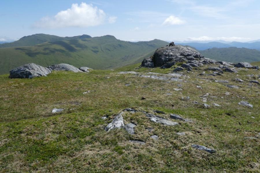
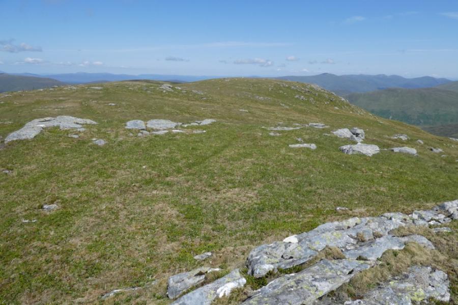
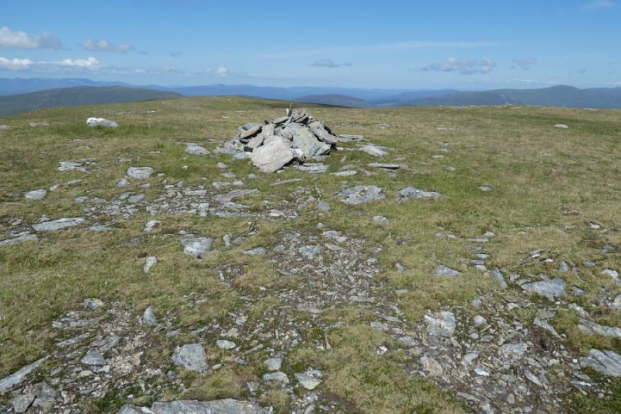
(1) From the parking place, cross the bridge over the Allt Bail a' Mhuillin and ascend the obvious steep gravel track. The steepness and gravel is short lived and the ATV track becomes mainly grassy and also faint in places. It curves around to the right and continues up the grassy hillside. High above to the right is a small cairn and high above, slightly left, is a solitary crag. The track does not go to either but gradually ascends towards the crest, drifting left to avoid Creag Dubh, rather than a direct ascent to the crest. A small plateau is reached which has a short line of metal posts on it. The track descends slightly then bends left and ascends a steeper section before the gradient eases. Further on, a line of fence posts comes in from the left (from the Lairig Breisleich) and these pass close to the summit before descending down to the bealach to Meall Ghaordaidh. The ground becomes firmer and the track fainter as a result but, in clear weather, navigation is now easy. A small plateau is crossed which has a small cairn so don't mistake it for the summit. Another small rise leads to the iron posts passing a cairn on a grassy rise. A little further is the small summit cairn on a large rock. This is the summit of Beinn nan Oighreag, 909 m.
(2) Retrace the outward route taking care not to lose the ATV track. It would be prudent to visit the north top (larger cairn on a grassy rise) before starting the descent as it is of similar height to the summit.
Notes
(a) This walk took place on 24th July, 2021. At that time, part of the road from Loch Tay to Bridge of Balgie was in a poor state of repair.
Photos - Hover over photo for caption. Click on to enlarge. Click on again to reduce.