Get Lost Mountaineering
You are here: England » North Pennines
Cold Fell from near Hallbankgate
Cold Fell from near Hallbankgate
Start/Finish
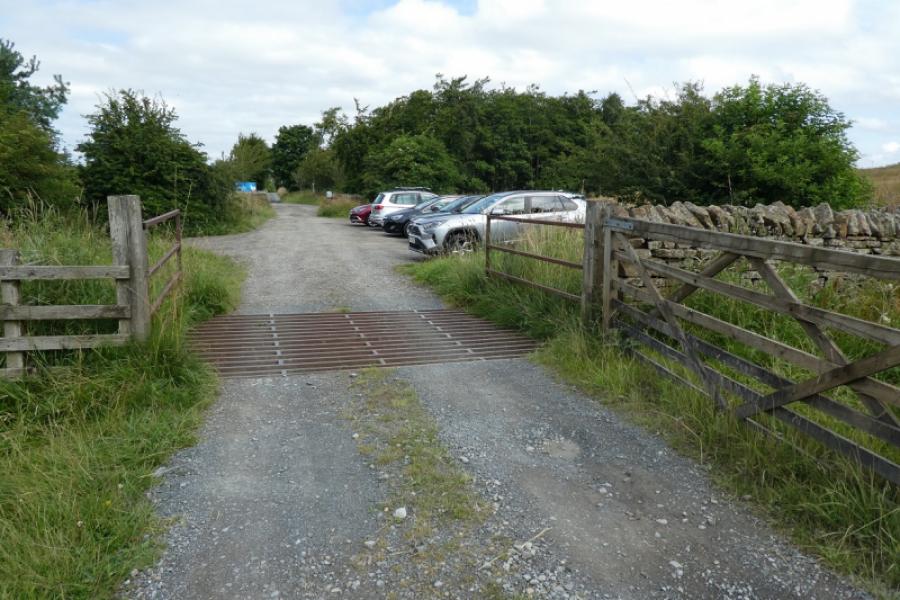
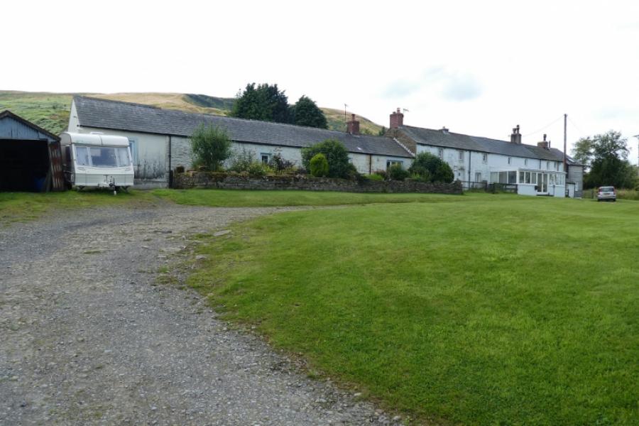
Clasketts car park, which has parking for about 10 cars, at NY 588 588. Hallbankgate is a small village, with a very pleasant community shop, on the A689 about 3 miles east of Brampton, Cumbria. Those coming from Alston on the A 689 will reach Hallbankgate after about 13 miles. Go down the road by the side of the Belted Will Inn, CA8 2NJ, keeping the pub on your right. Follow the road for about a mile to the RSPB car park at Clasketts. The road makes a sharp right turn about halfway to the car park.
Distance/Time
11 km. About 3 – 4 hours.
Peaks
Cold Fell, 621 m, NY 605 556.
Tindale Fell, 547 m, NY 607 570.
OS 1: 50 000, Sheet 86: Haltwhistle & Brampton. OL 43: Hadrian's Wall.
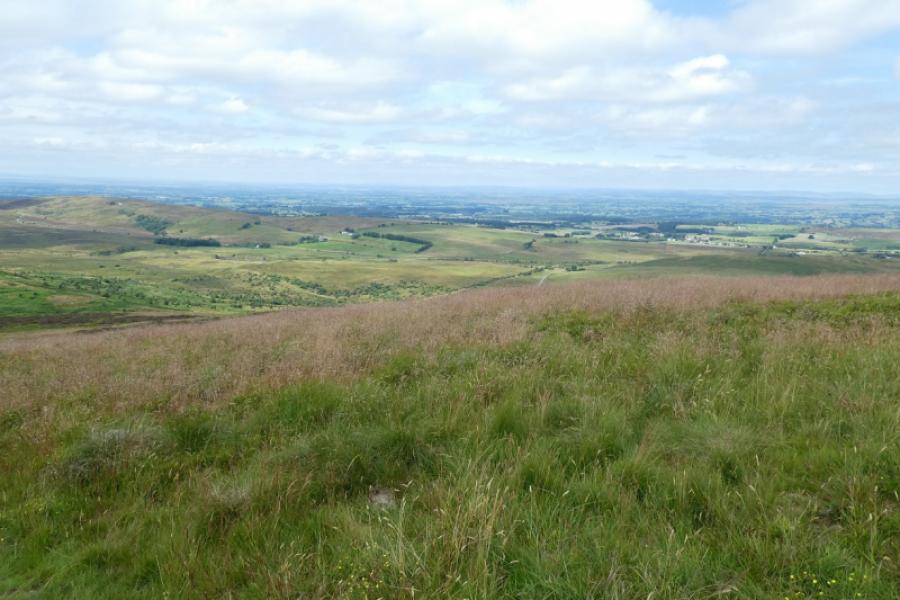
Introduction
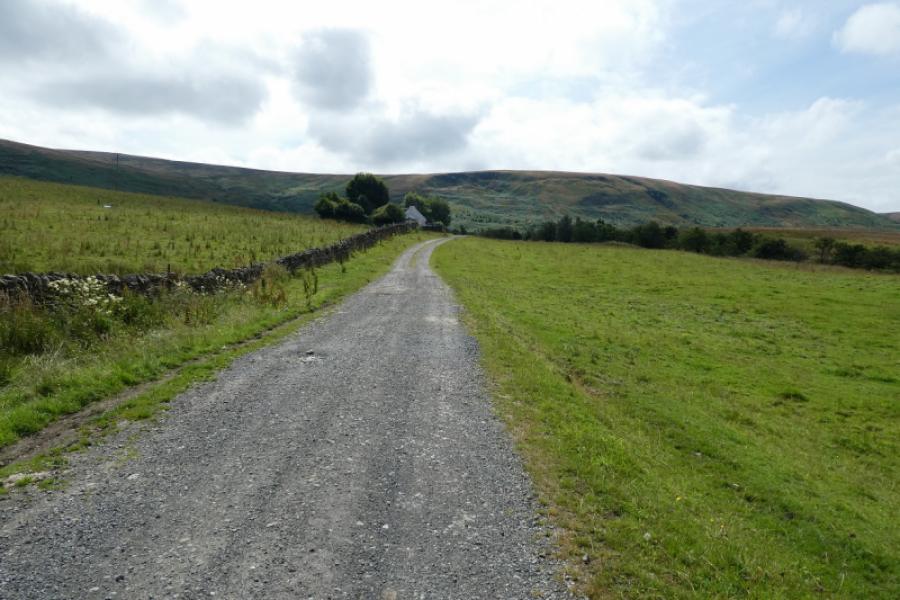
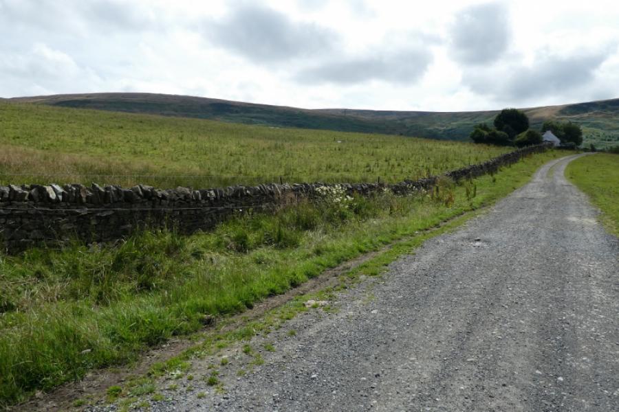
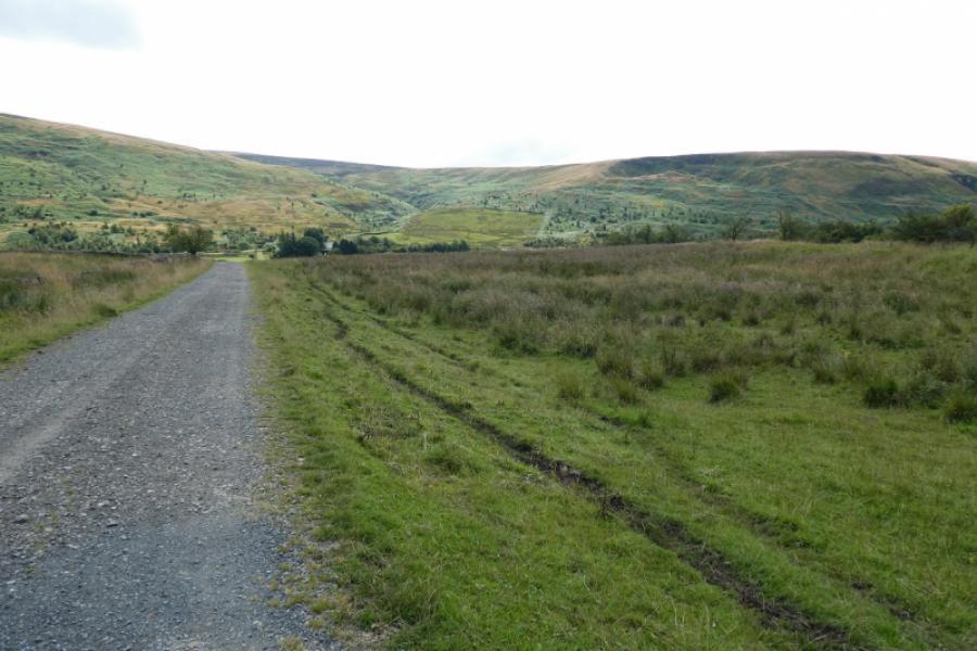
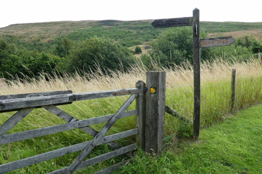
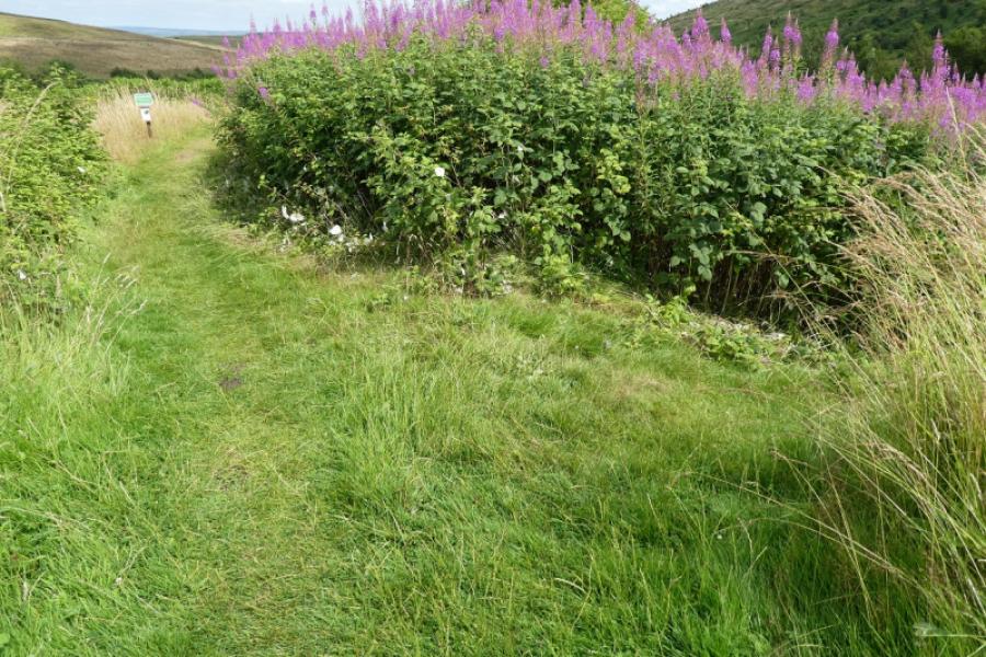
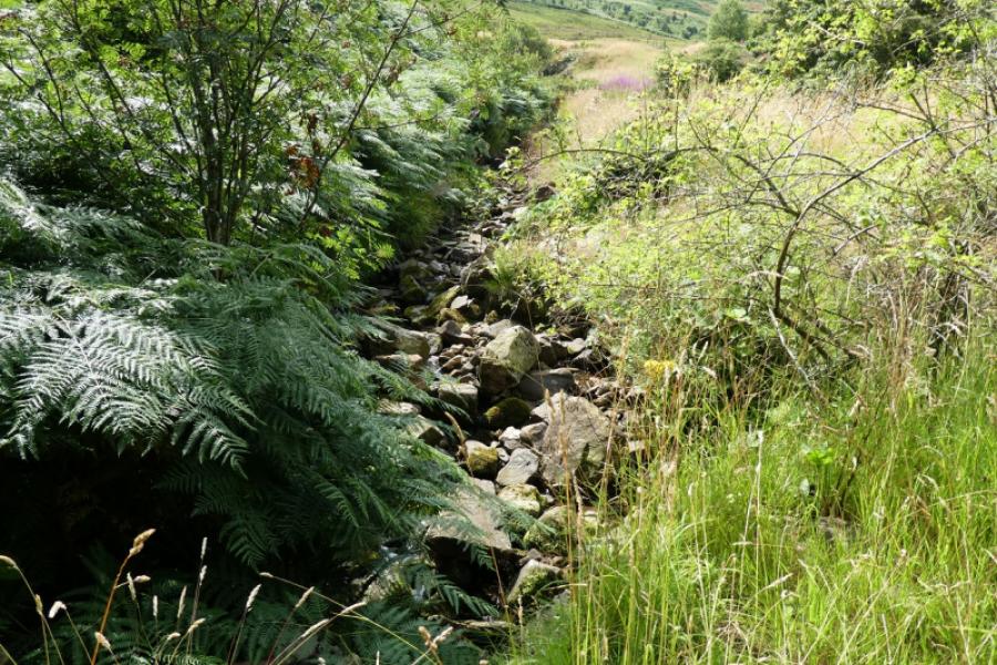
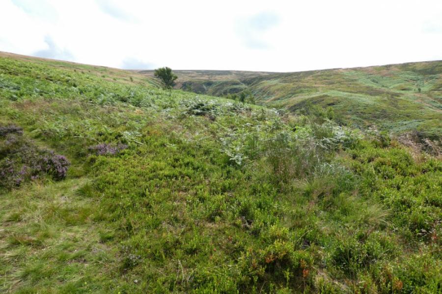
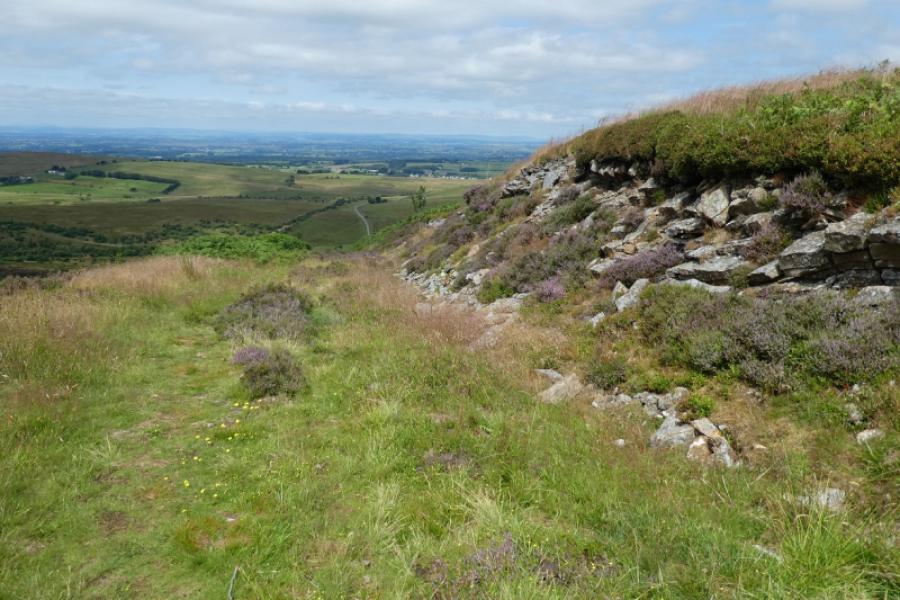
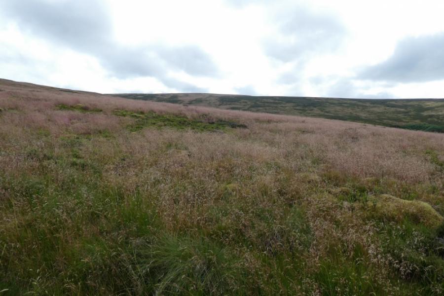
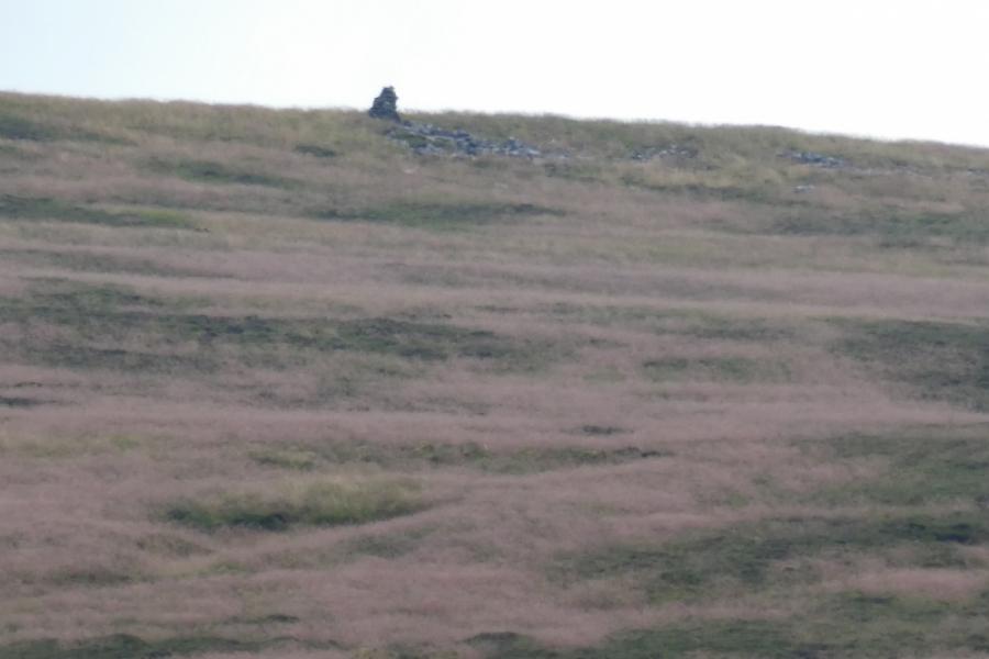
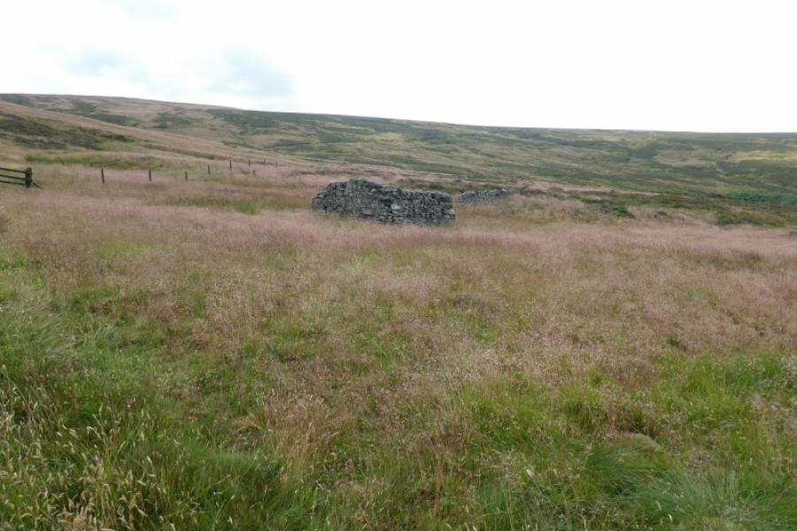
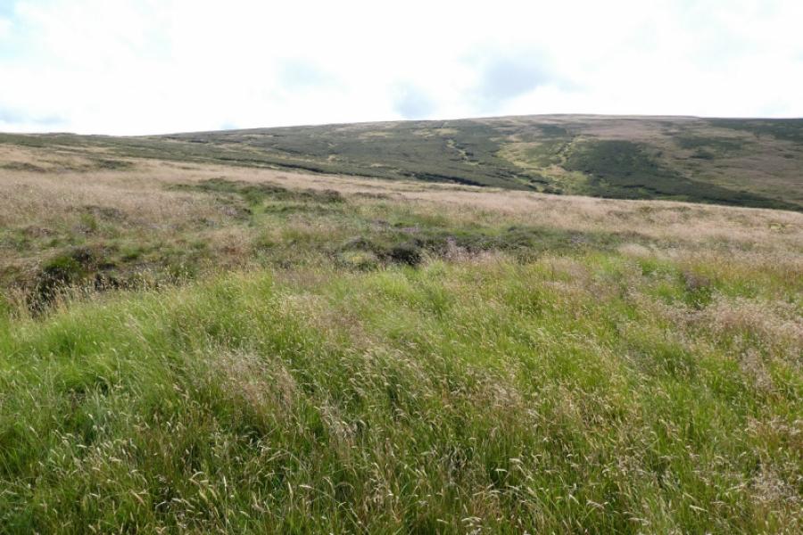
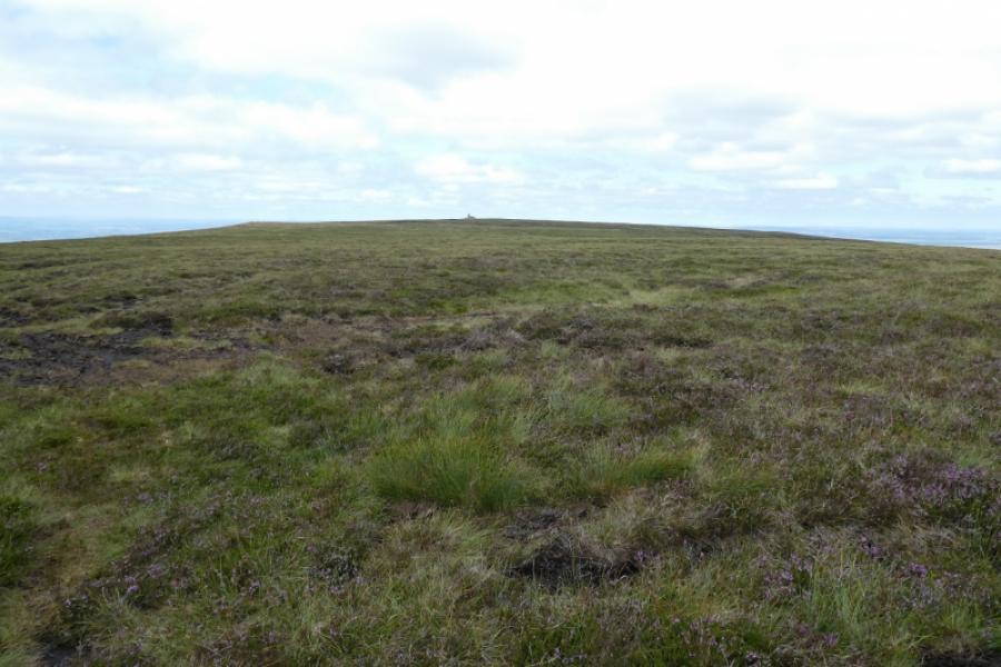
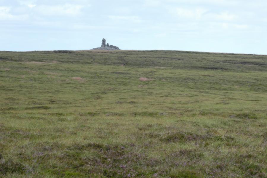
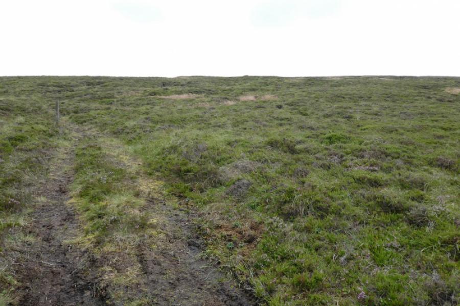
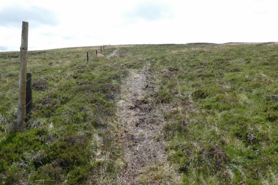
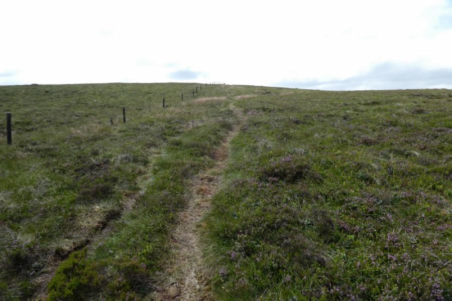
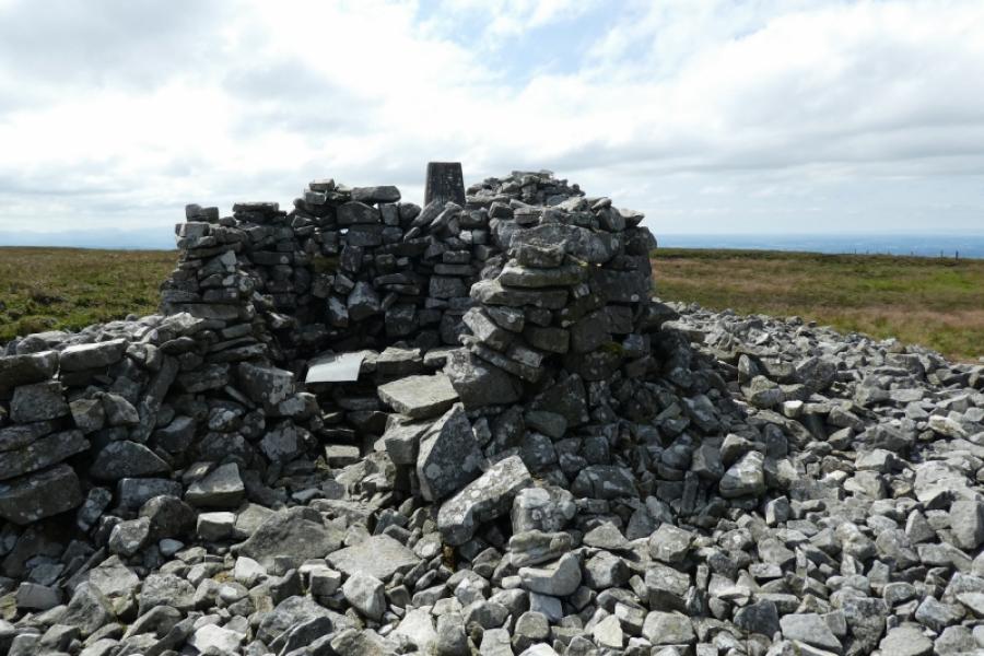
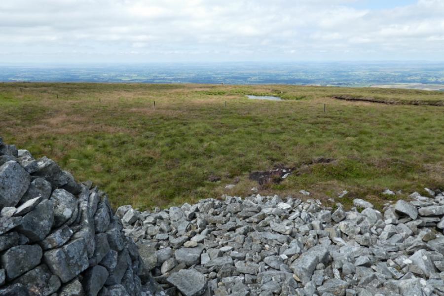
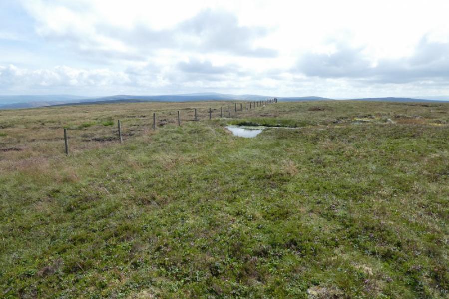
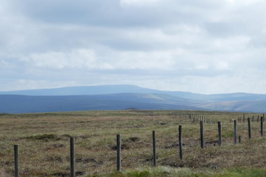
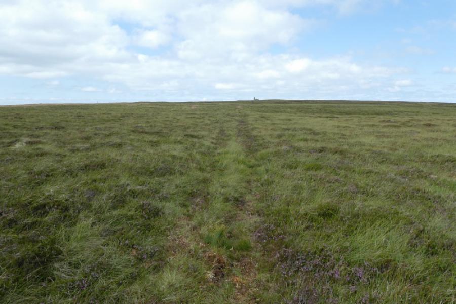
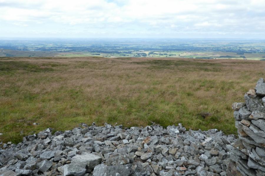
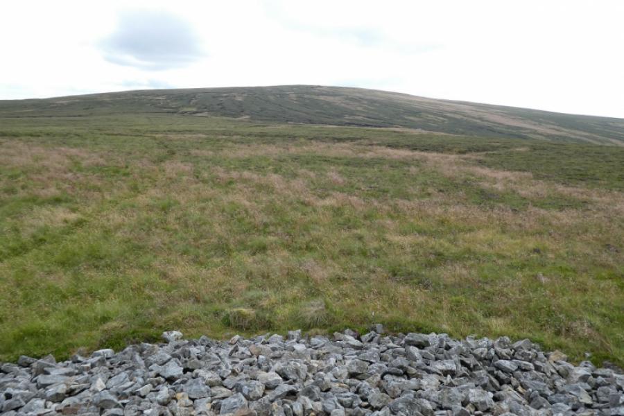
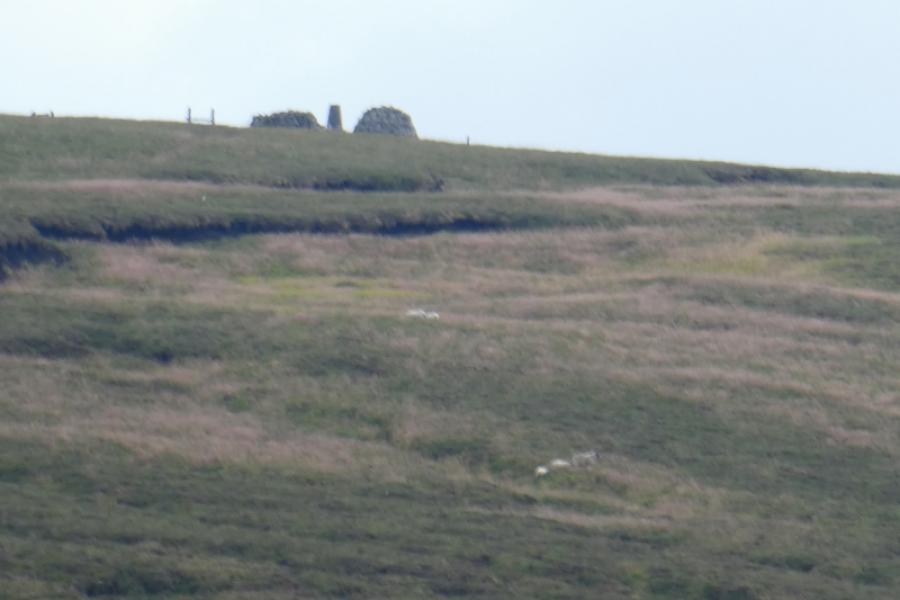
This is a typical high moorland walk which is so common in the Northern Pennines. Cold Fell is the highest point on a large area of high moorland. On a clear day, there are good views across the Solway plain. The ground can be boggy so may be best avoided during a wet spell. Visiting Tindale Fell and its prominent cairn only adds about 1 km and 20 minutes so it is well worth the detour. Surprisingly, none of the signposts encountered point the way to Cold Fell so read the described route carefully! The track shown on the map is variable in quality being boggy and hard to follow in places. A path takes over at the end of the track and leads to the summit. For much of the way, a cairn can be seen on Cold Fell. This is not the summit but marks the edge of the plateau; the true summit is about 100 m further back.
Route
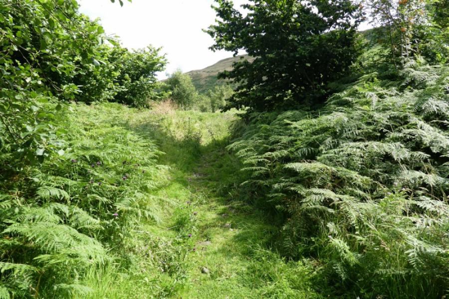
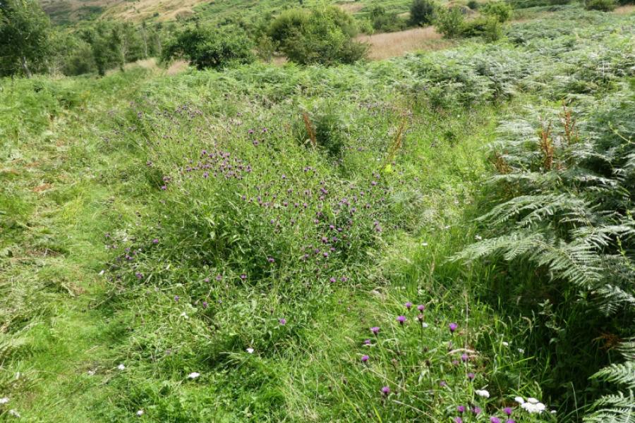
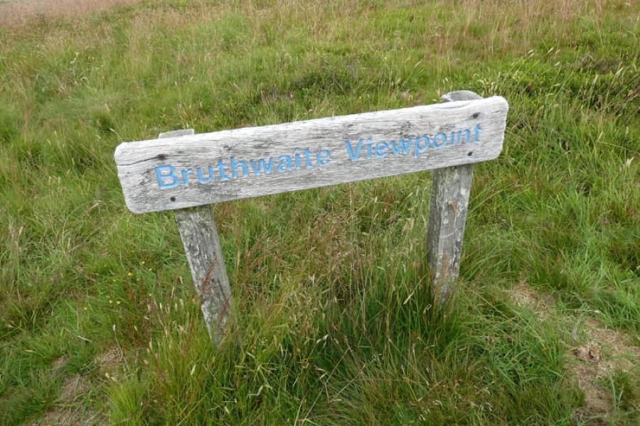
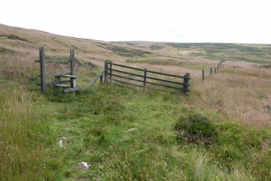
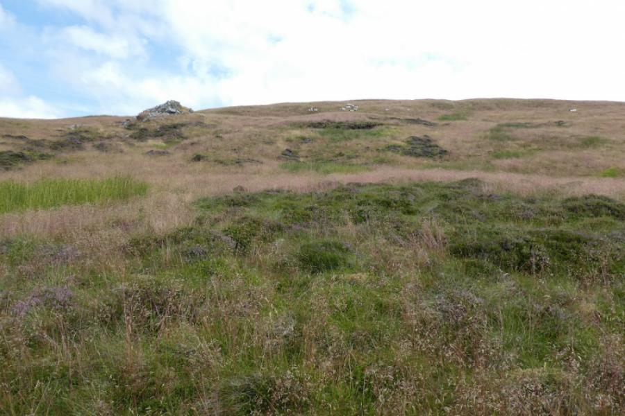
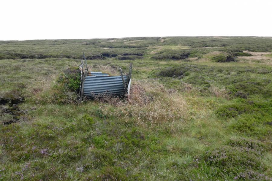
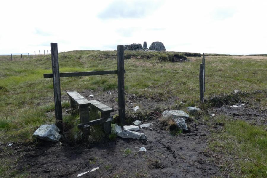
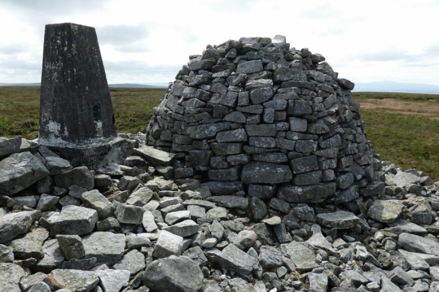
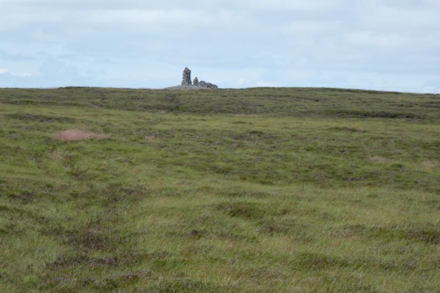
(1) From Clasketts car park, walk due south along the track which starts at the end of the car park. Follow this past the house at Tortie then continue to the row of cottages at Howgill. Go through the first gate then immediately go left, by a signpost, through another gate. Almost immediately fork right onto a track which looks like trampled grass. Follow this across Howgill Beck on a level bridge (you may not notice it). Soon after, the path splits. Take the right fork and follow the track upwards. Pass a viewpoint sign then continue up to meet a stile in a fence. Some ruins are close on the right and there is a prominent outcrop a little higher on the left. Cross the stile and continue on the path which goes right initially. Follow the path up to reach a very samll corrugated iron enclosure which is roughly in the col between Tindale Fell and Cold Fell. Continue on the path which heads for the foot of the north ridge where it turns roughly south. Don't worry if the path appears to descend in places. Reach a fence and follow the same path up its side to reach a junction of fences about 10 m from the summit where there is a large cairn, a wind shelter and a trig point which marks the summit of Cold Fell, 621 m. The cairn well seen from below is about 100 m away and reached by a faint path.
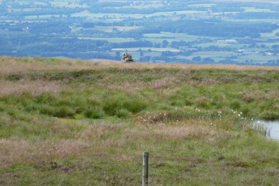
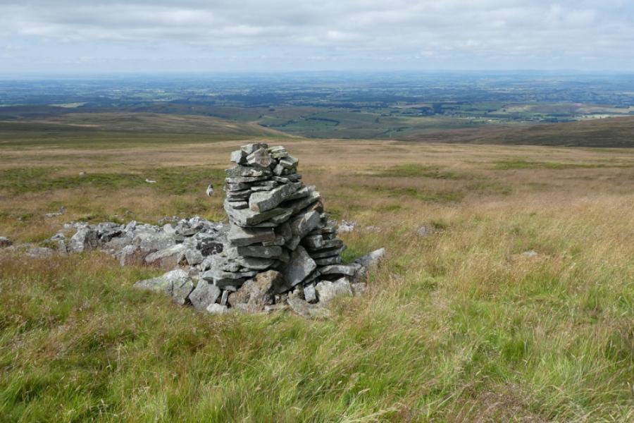
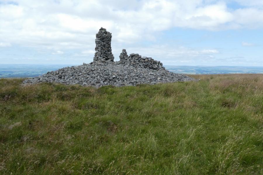
(2)Retrace back to the corrugated structure then head due north to the obvious tall cairn using various intermittent paths. The short and tall cairns as well as a wind shelter mark the summit of Tindale Fell, 547 m. The summit of Cold Fell is visible through binoculars or a long zoom lens.
(3) As the ground is quite rough it is best to retrace back to the corrugated structure then retrace the outward path.
Notes
(a) This walk took place on 2nd August, 2021.
Photos - Hover over photo for caption. Click on to enlarge. Click on again to reduce.