Get Lost Mountaineering
You are here: Scotland » 03 North-west Argyll, Appin and Glencoe » Ben Cruachan to Bridge of Orchy & Tyndrum
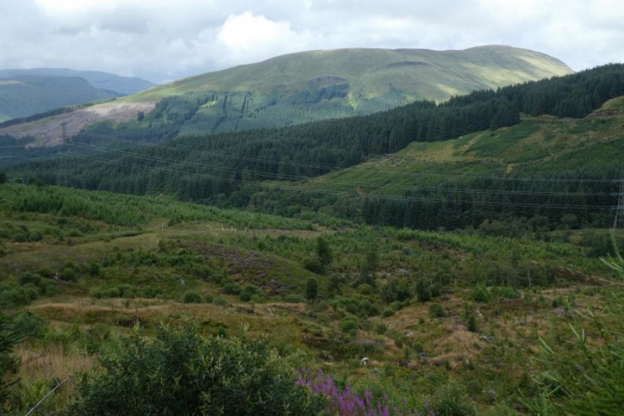
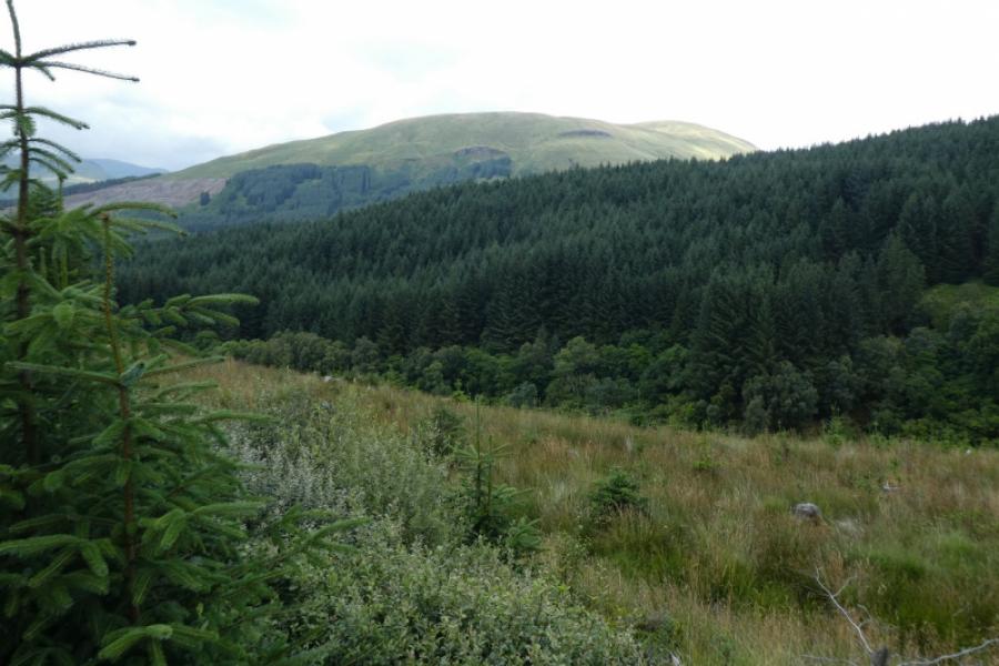
Beinn na Sroine
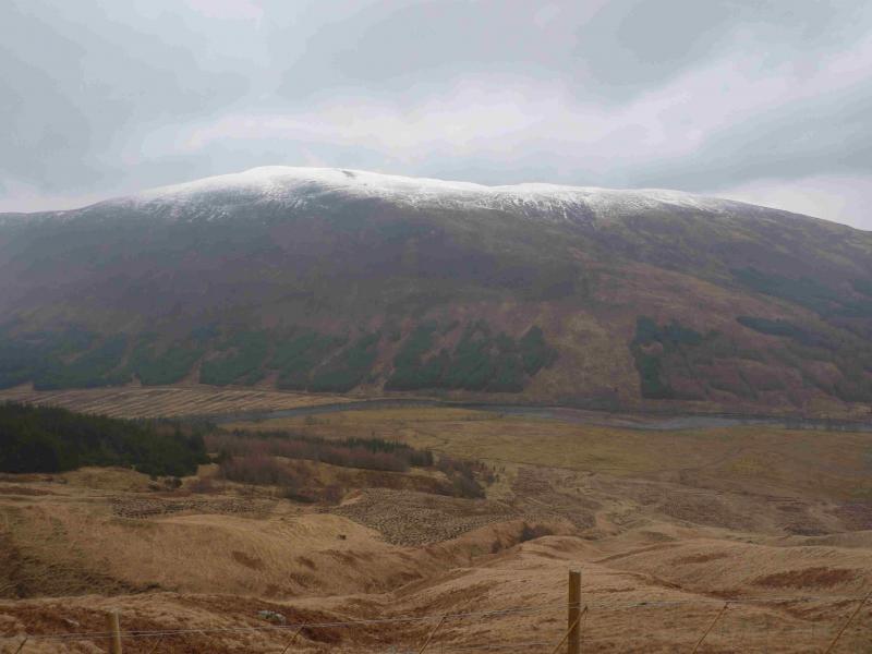
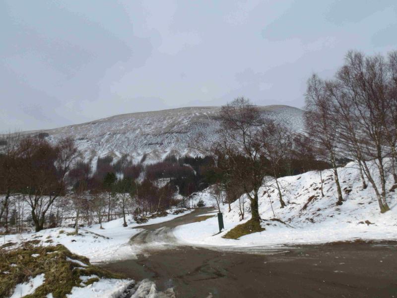
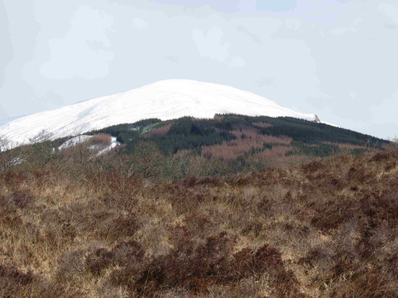
Beinn na Sroine from A85 Tyndrum to Dalmally road
Start/Finish
Lay by on the A85 Tyndrum to Dalmally road at about NN 245 286 at the edge of the wood clearly shown on the map.
Distance/Time
4 km About 2 hours.
Peaks
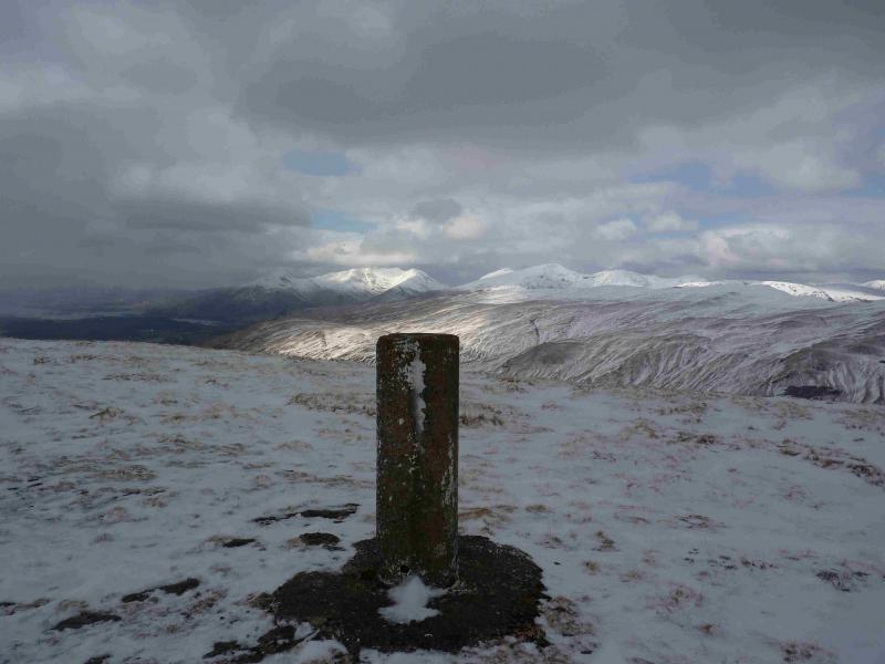
Beinn na Sroine, 636 m, NN 233 289. OS sheet 50.
Introduction
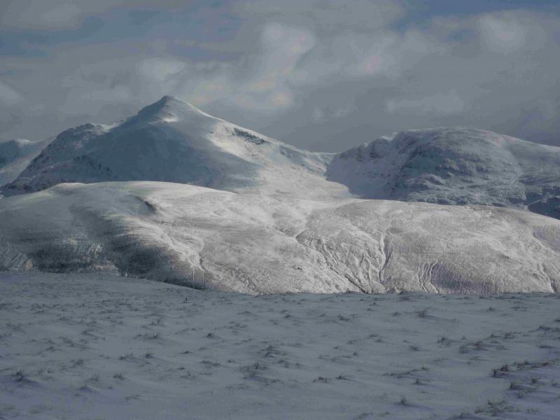
This hill offers a straightforward ascent In clear weather, Beinn na Sroine is an excellent viewpoint for the Ben Cruachan and Ben Lui ranges not to mention Beinn Donachain & Beinn Mhic-Mhonaidh.
Route
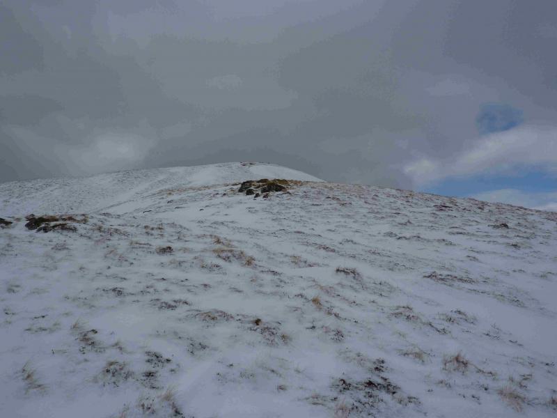
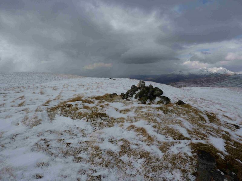
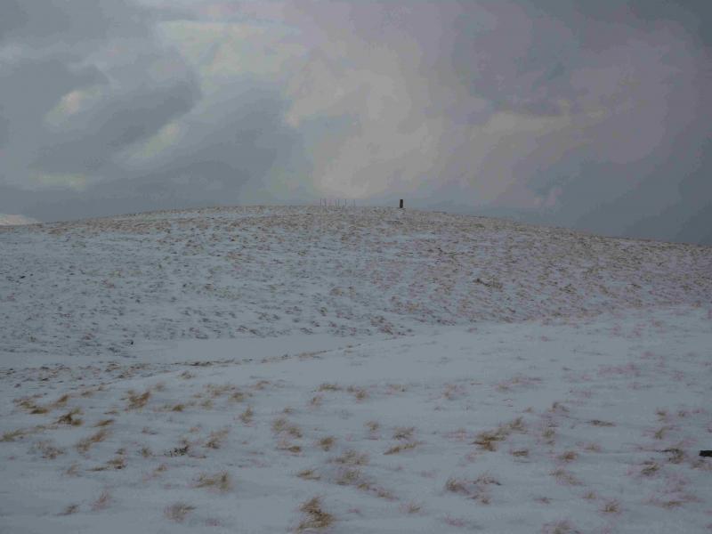
(1) Walk away from the wood (towards Dalmally) for about 50 m until just past a fence going uphill then pick a route up the tussocky grass, heading roughly NW until the crest of the NE ridge is reached. Follow this ridge SW to reach a small cairn which is the NE top. Continue a few hundred metres further to reach the trig point which marks the summit of Beinn na Sroine, 636 m. On 26/3/13, the aerial shown on the map as being close to the summit was no longer there.
(2) Retrace the route of ascent.
Notes
(a) This walk took place on 14th April, 2006 and 26th March, 2013.
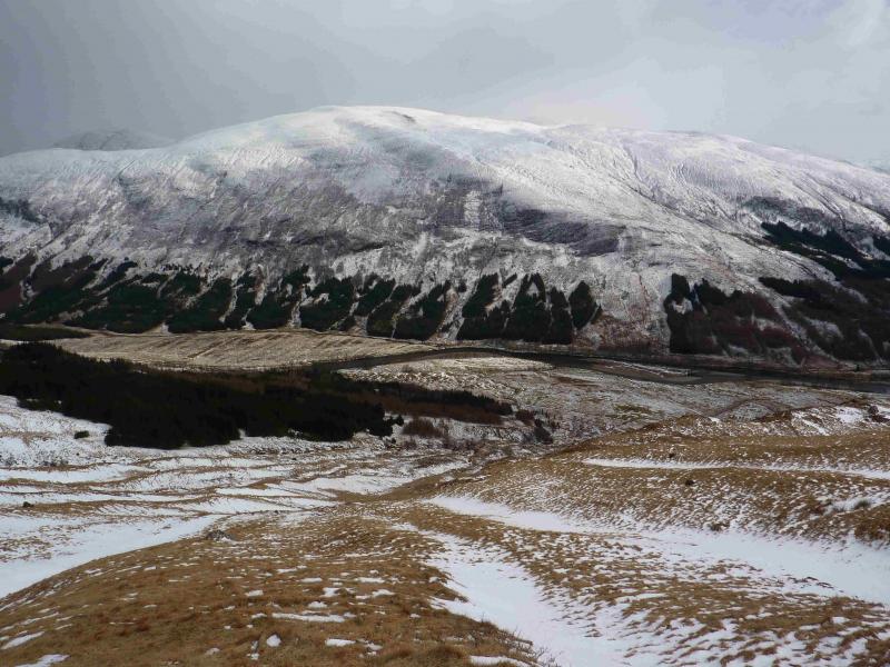
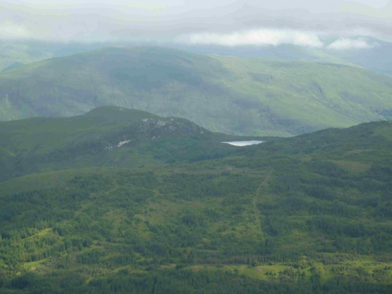
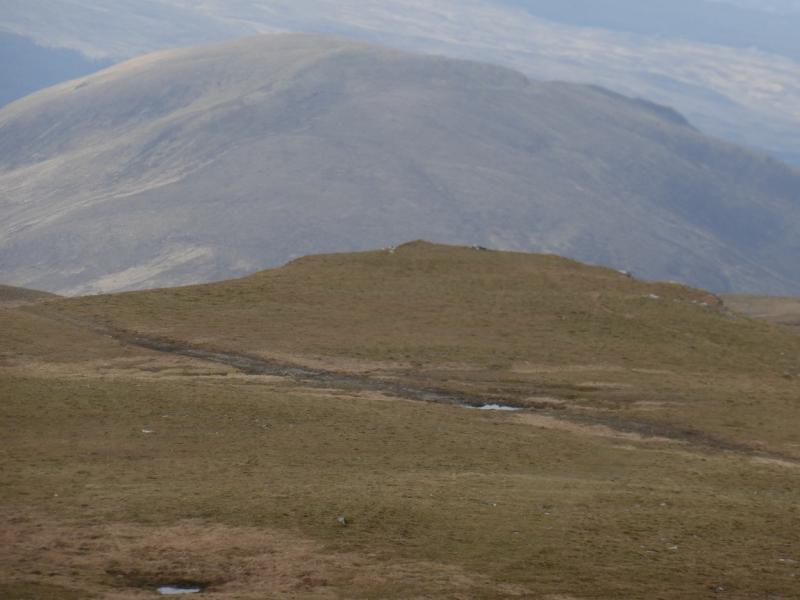
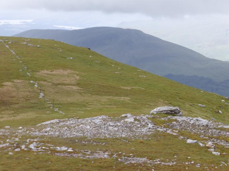
Photos - Hover over photo for caption. Click on to enlarge. Click on again to reduce.