Get Lost Mountaineering
You are here: Scotland » 01 South of Oban to Stirling and Fife » Ben Lomond, Crianlarich, Balquidder and Trossachs
Benvane via N ridge from Ballimore
Benvane via N ridge from Ballimore
Start/Finish
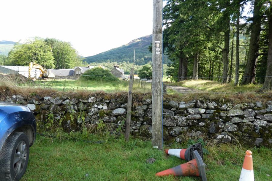
Small parking area by entrance to Ballimore Farm, about 3 km S of Balquidder on minor road. Park cars at right angles to the wall.
Distance/Time
9 km About 4 – 5 hours
Peaks
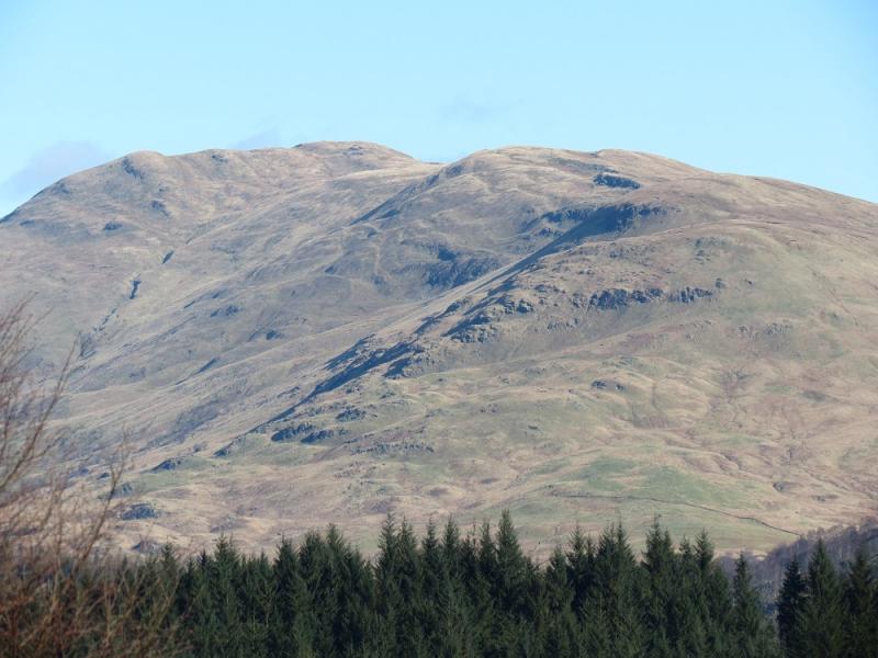
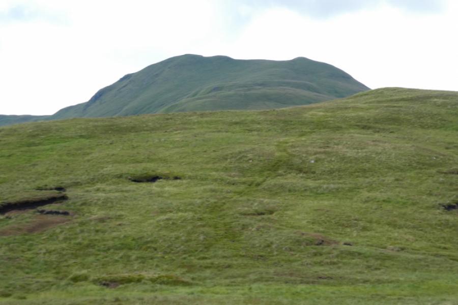
Benvane, 821m, NN 535 137. OS sheet 57: Stirling & The Trossachs
Introduction
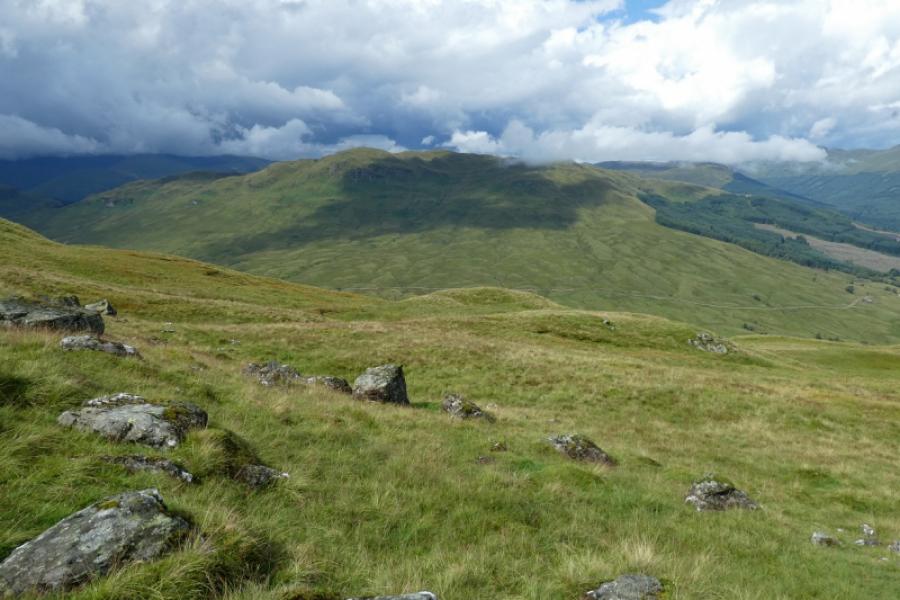
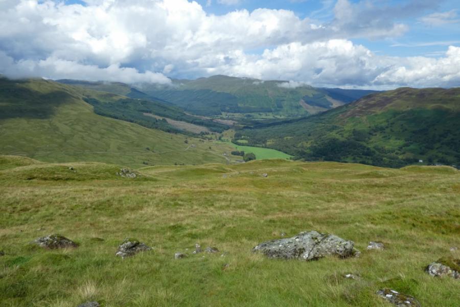
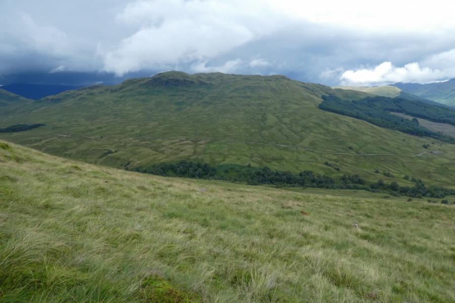
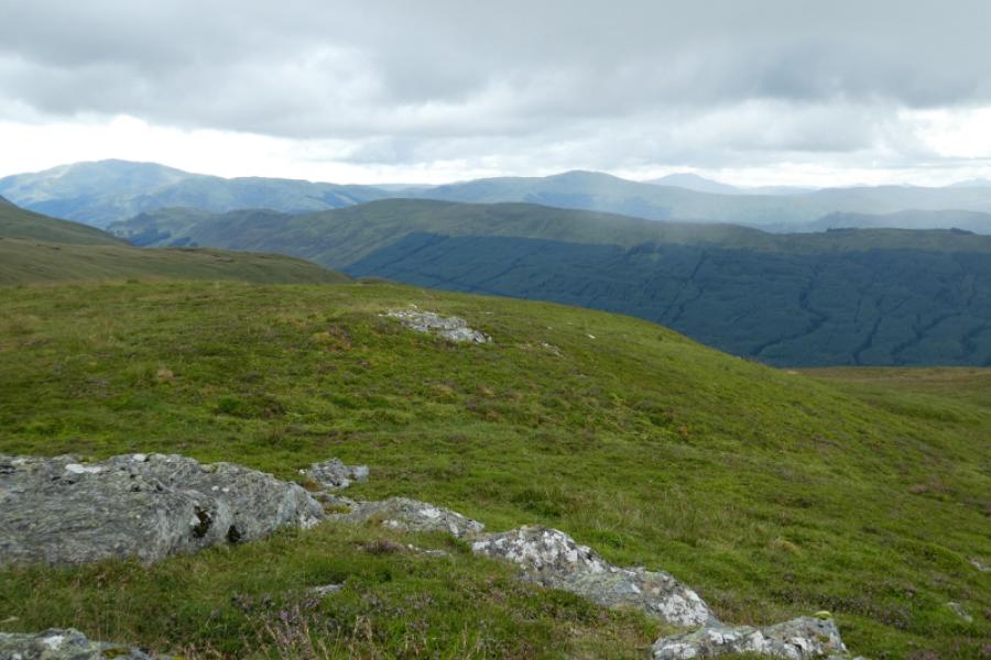
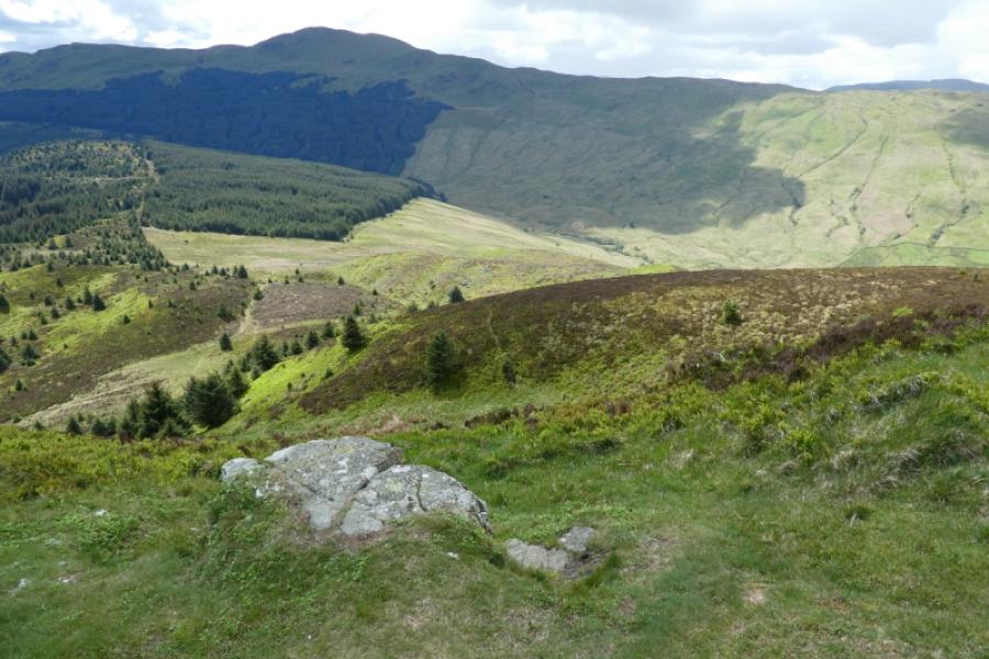
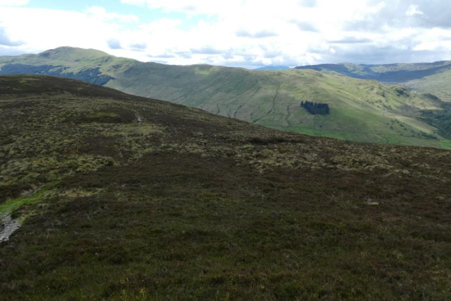
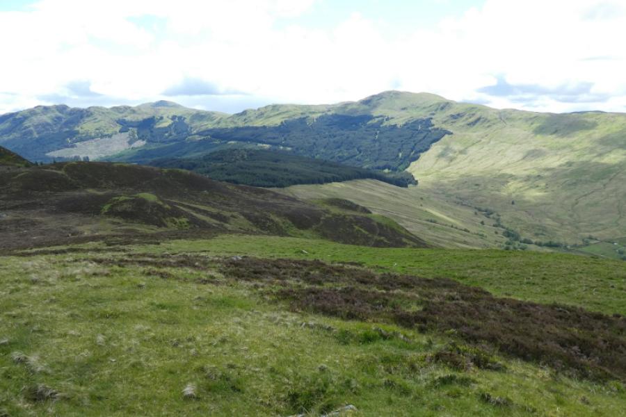
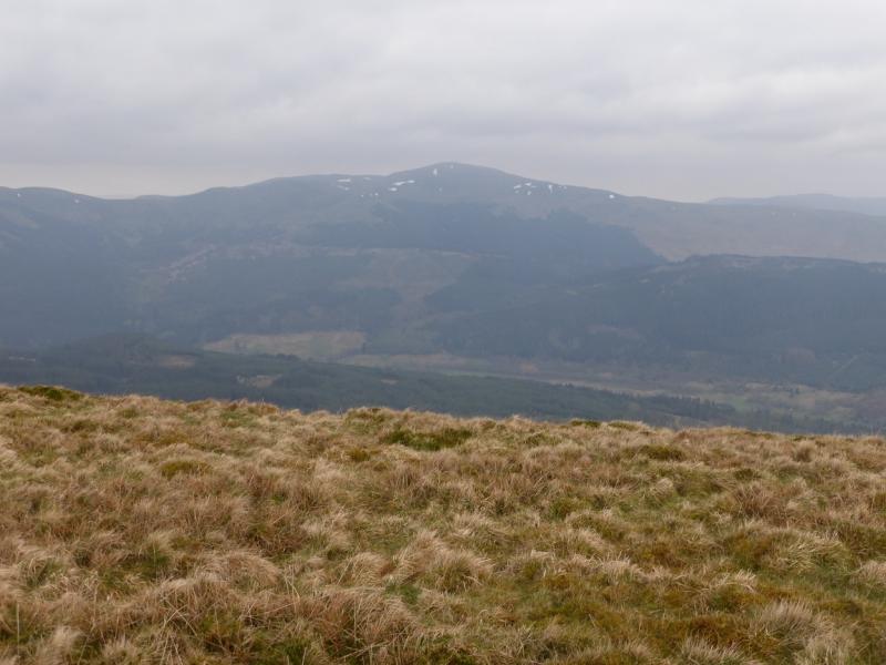
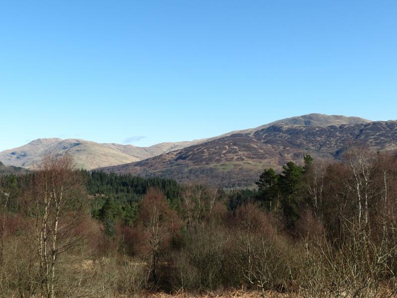
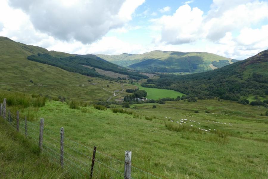
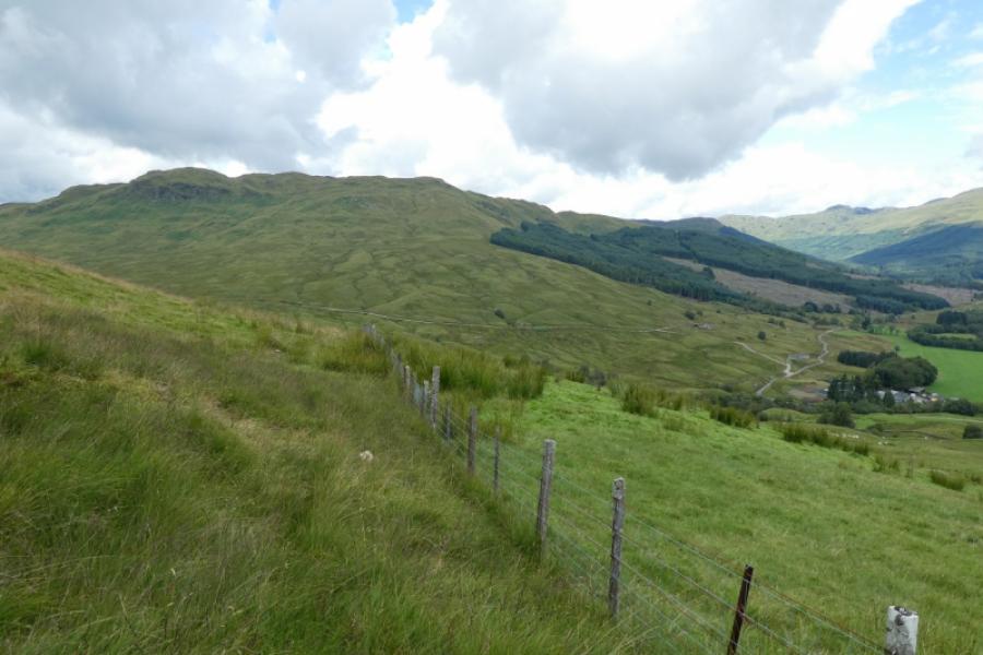
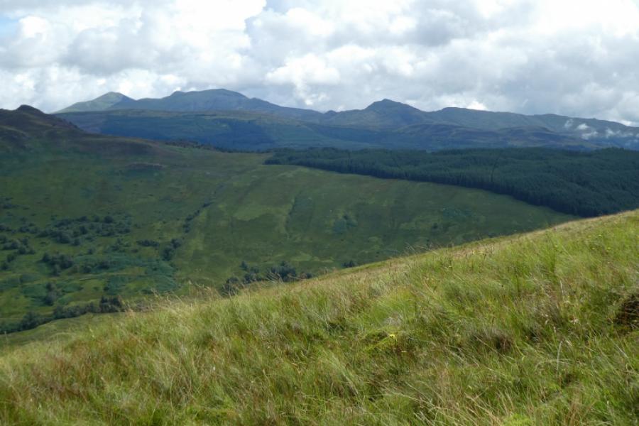
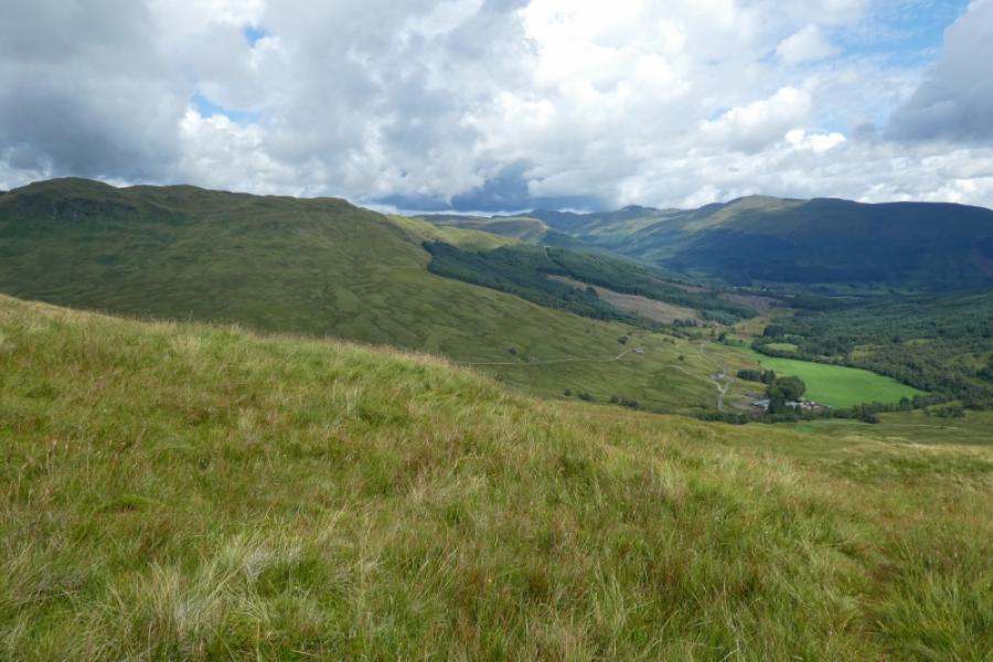
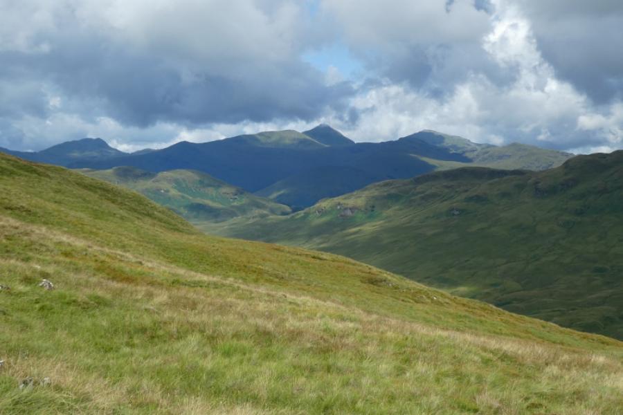
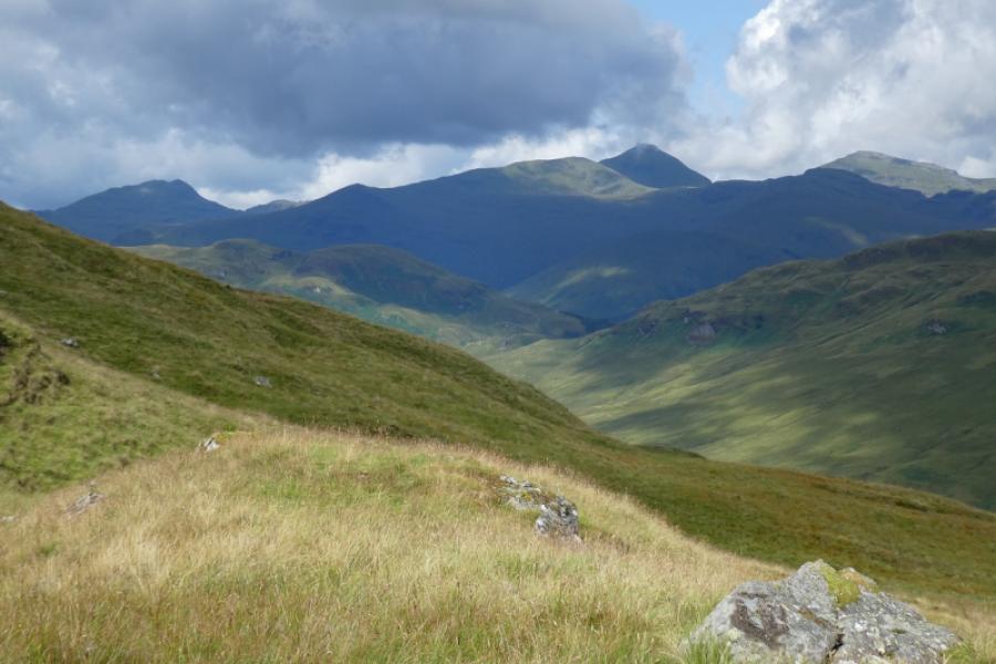
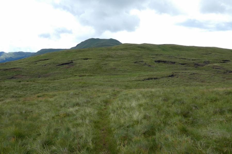
This is probably the most pleasant route to the summit of Benvane for those who do not also wish to include Ben Ledi in the walk. A route taking in both these summits starts from the southern end of Loch Lubnaig, to the north of Callender, and is listed separately. Most of the ascent is on grassy slopes, occasionally steep with occasional wet and mossy ground. Once some height is gained, there is a path all the way to the summit. The views improve with height and include Stob Binnein, Meall an t-Seallaidh, Ben Vorlich and Stuc a' Chroin. In very clear conditions, the Ben Lawers range can be seen
Route
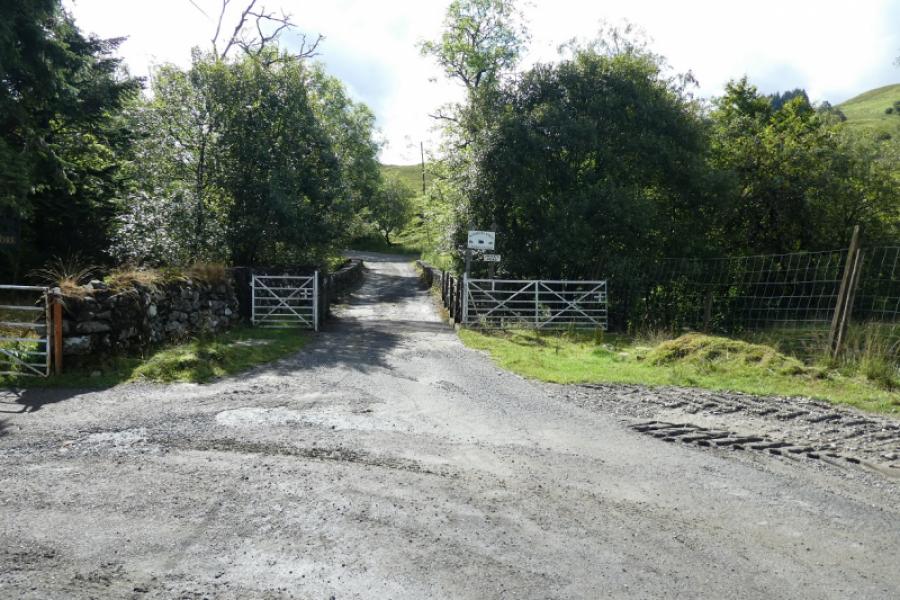
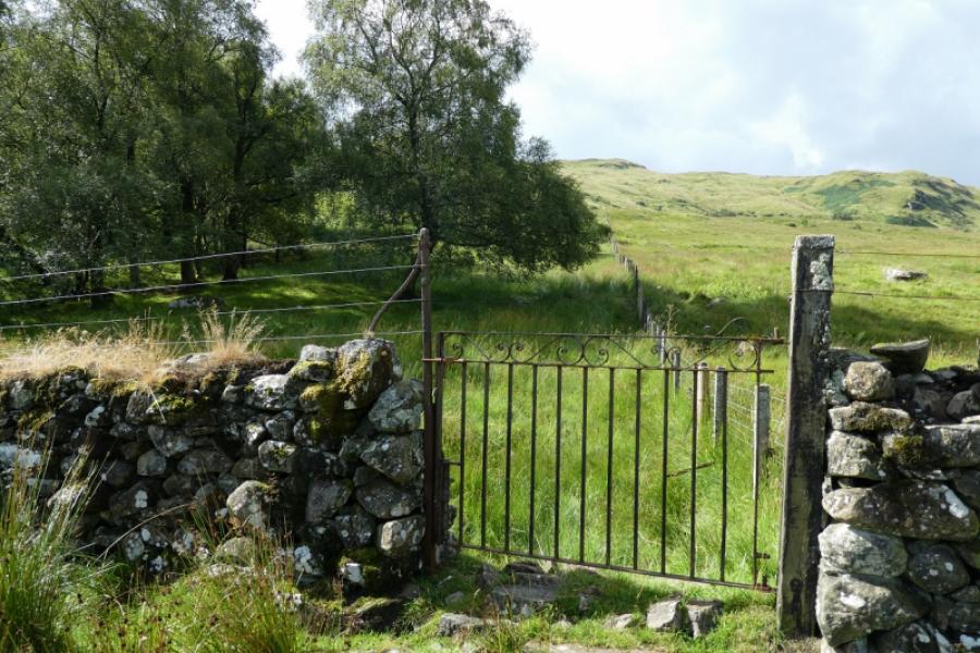
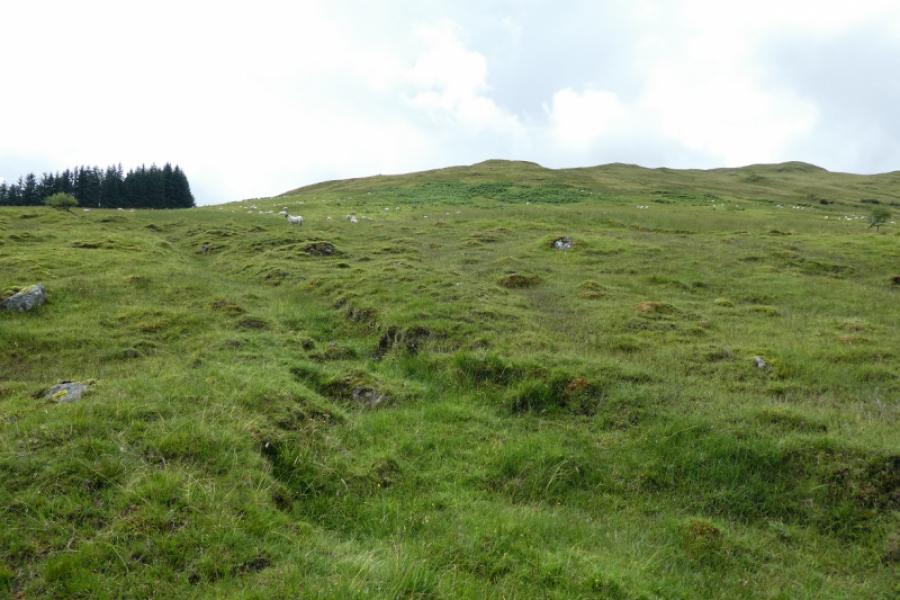
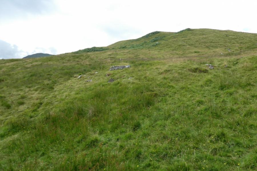
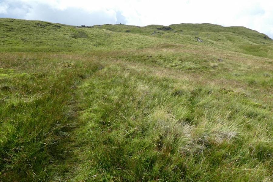
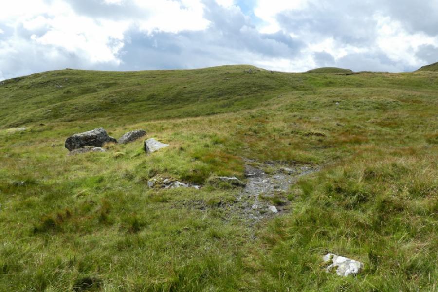
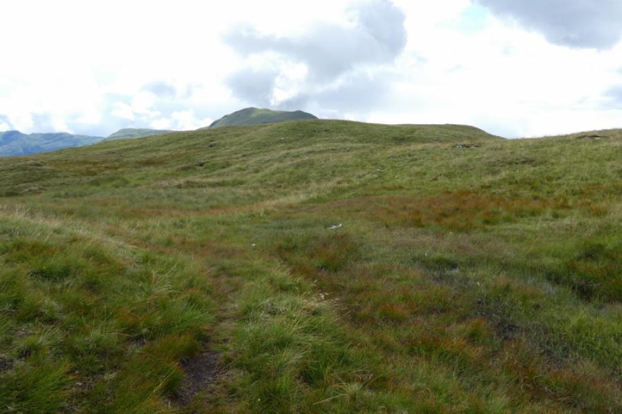
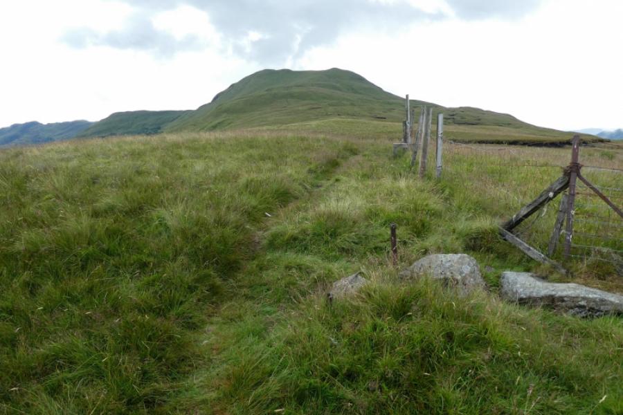
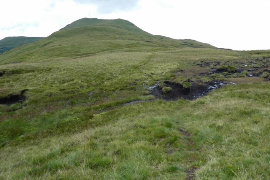
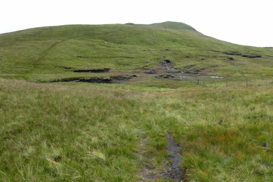
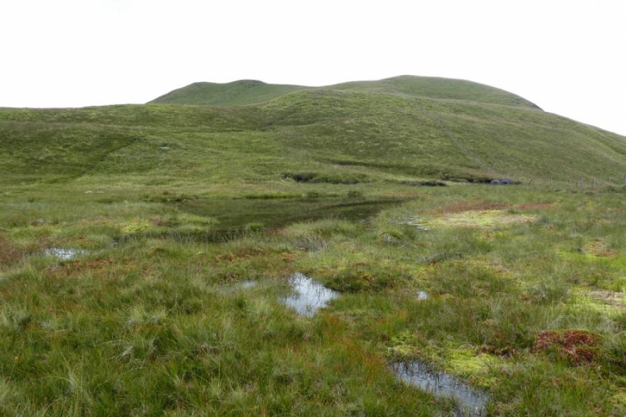
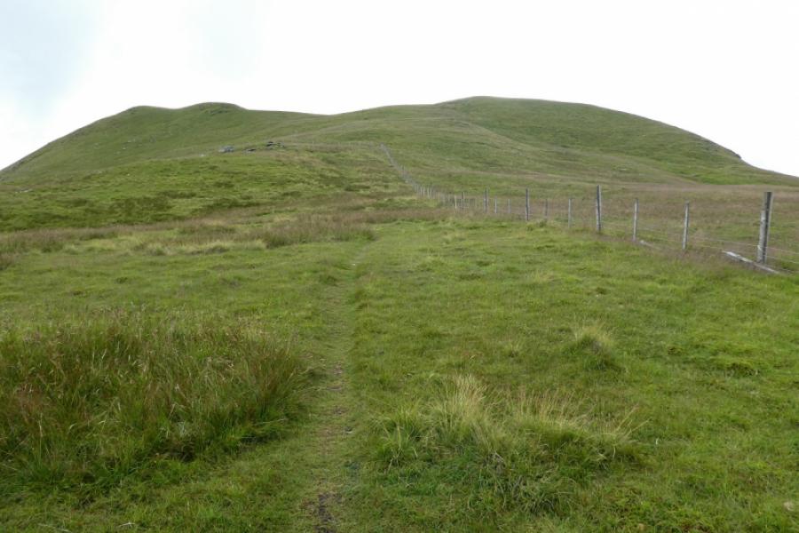
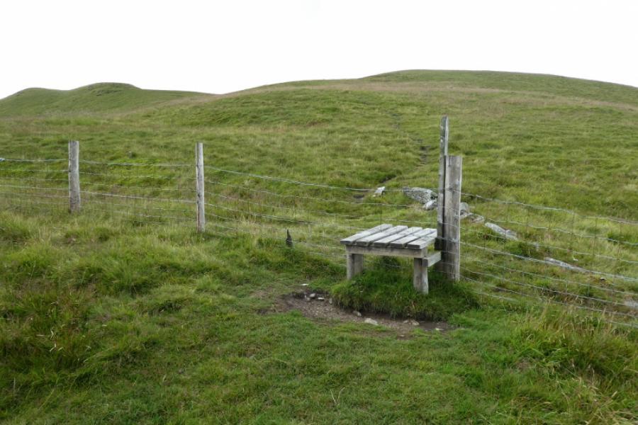
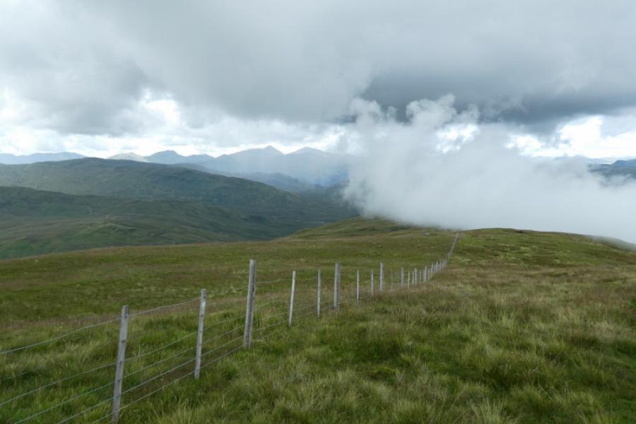
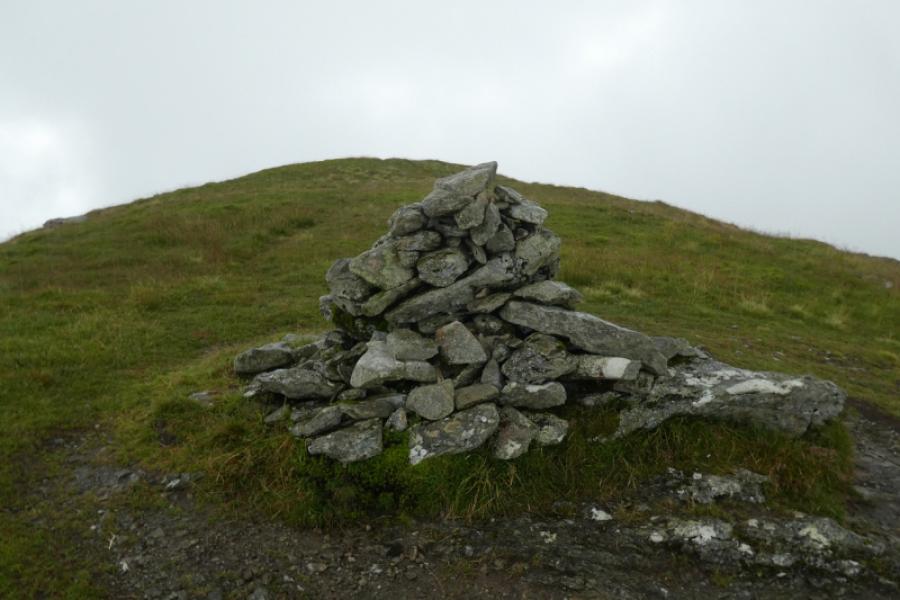
(1) Cross the substantial stone bridge just past the car park. Soon reach a sign for the path to Brig o' Turk. Ignore this and stay on the track to the next telegraph pole then take an easier line right across short grass, heading for a metal gate in a wall, not the wider gate further to the right. Go through the gate. The ground can be quite wet for a short distance and there is a fence on your right. Drift left, ascending gentle ground, through scattered trees and keep picking a way up the hillside. A small plantation can be aimed for in clear weather. The low fence which will have been left after the gate comes back in from the right so cross it, which will mean climbing over it at strong point, about 100 m before reaching the plantation. Continue up on fairly easy ground gradually drifting to the right to meet a faint path. Follow this up, going over several brows, before, in clear weather, Benvane summit (3 tops with the actual summit being the most left of the tops) becomes obvious ahead in the distance. Stay with the path, taking care on the few wet and mossy sections. After a short descent, a fence soon comes in from the right (with a stile soon after which should not be crossed; keep the fence on your right) and the path shadows this for some distance before it goes left not far below the summit tops. Cross the fence by a wide stile and continue up on the same path which soon drifts left, away from the right top, before passing over the middle top then continuing to a medium cairn which is the summit of Benvane, 821m.
(2) Retrace the outward route. Lower down, it is possible to follow the path lower than where it was joined earlier but it goes through some rough and wet ground, becoming an ATV track in places before passing through the wide gate in the wall near the start.
Notes
(a) This walk took place on 9th August, 2021.
Photos - Hover over photo for caption. Click on to enlarge. Click on again to reduce.
 from N ridge of Benvane.JPG)