Get Lost Mountaineering
You are here: Scotland » 01 South of Oban to Stirling and Fife » Loch Earn to Stirling
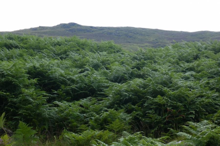
Ben Our from Ardvorlich
Ben Our from Ardvorlich
Start/Finish
Ardvorlich East gate about 5 km of A84 on the South Loch Earn road which leaves the A84 about 1 km S of Lochearnhead. Park on the wide verges just before the stone bridge.
Distance/Time
7 km About 4 – 5 hours
Peaks
Ben Our, 745 m, NN 616 208. OS sheets 51: Loch Tay & 57: Stirling & Trossachs
Introduction
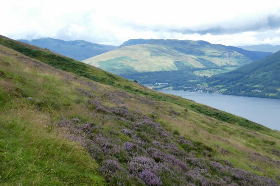
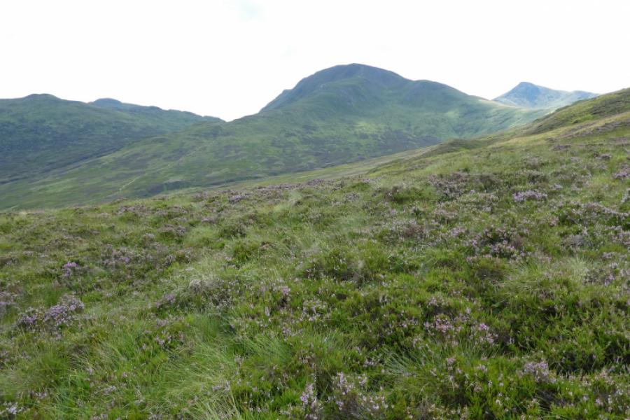
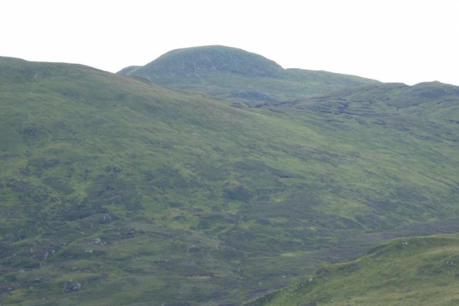
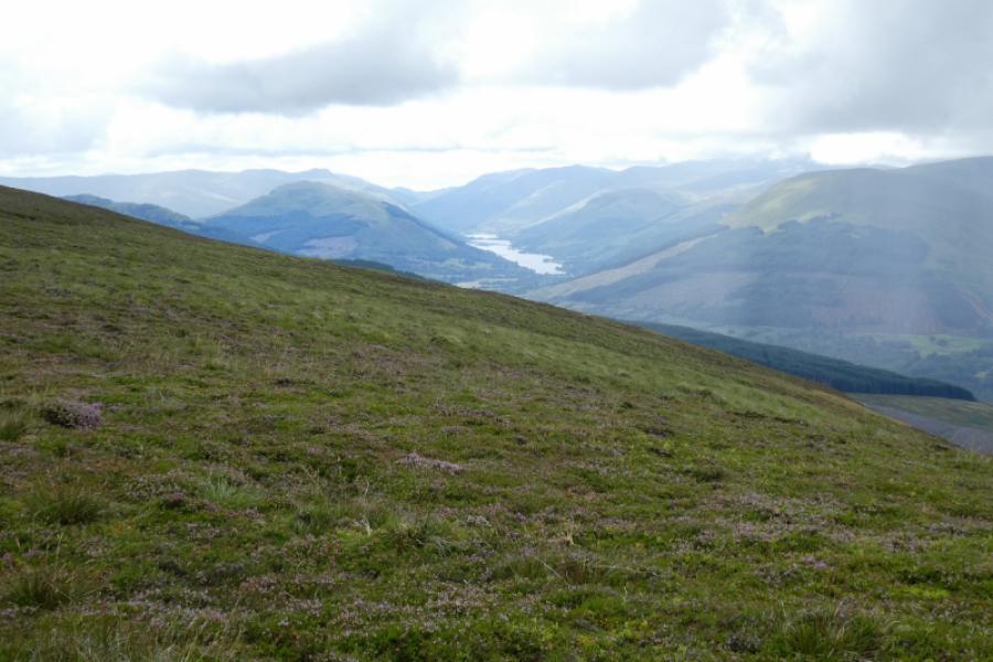
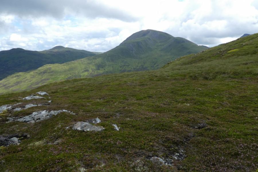
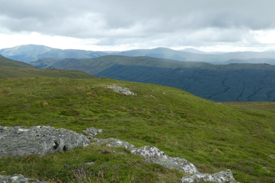
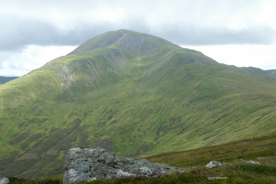
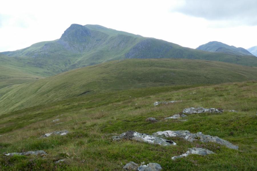
The map suggests this should be a relatively easy walk compared to, say, Ben Vorlich and Stuc a' Chroin but don't be fooled. Most of the route is rough and pathless so progress, especially during the ascent, will be frustratingly slow. Despite these negative points, Ben Our is a superb viewpoint for Meall na Fearna, Ben Vorlich, Stuc a' Chroin and Beinn Each. In clear weather, the Ben Lawers range will also be seen as well as ben Chonzie, Ben More and Stob Binnein.
Route
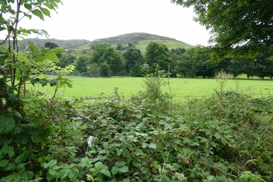
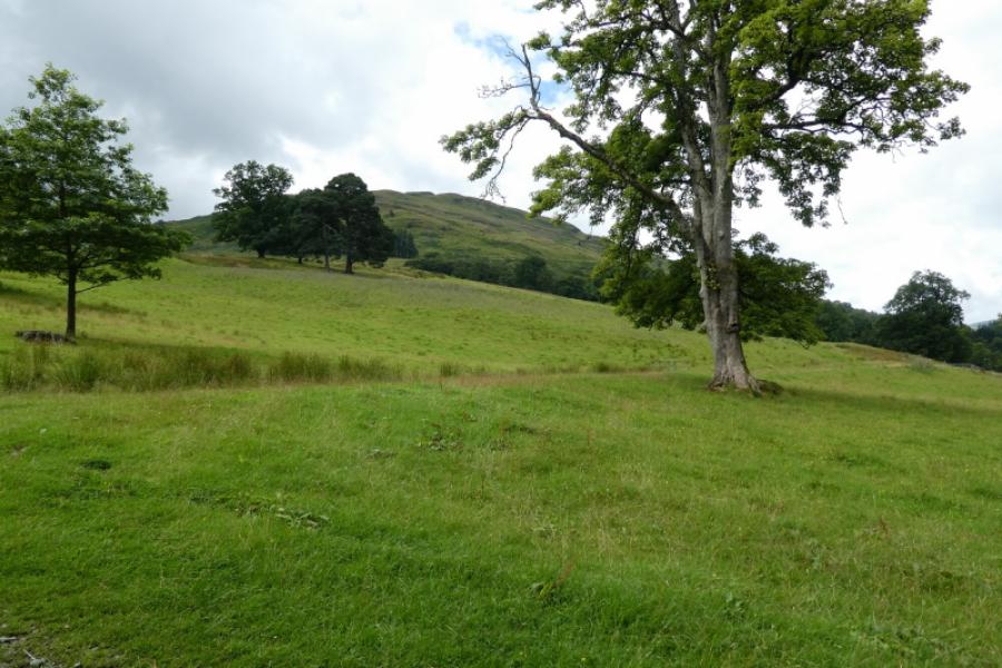
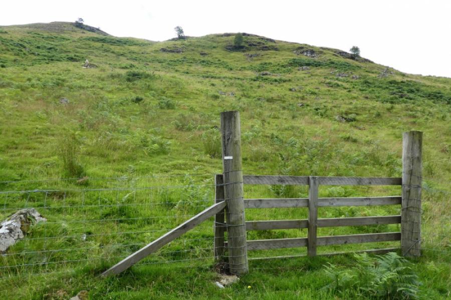
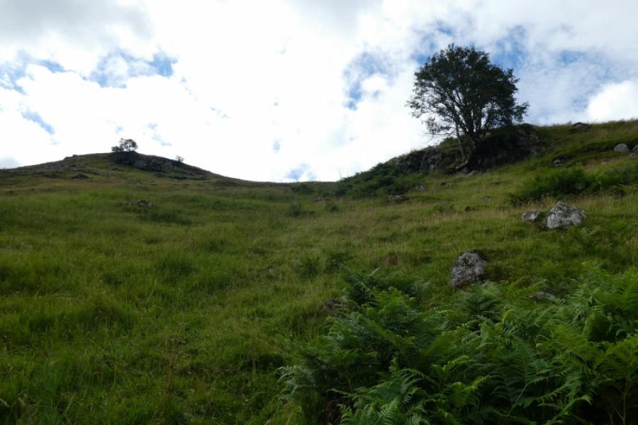
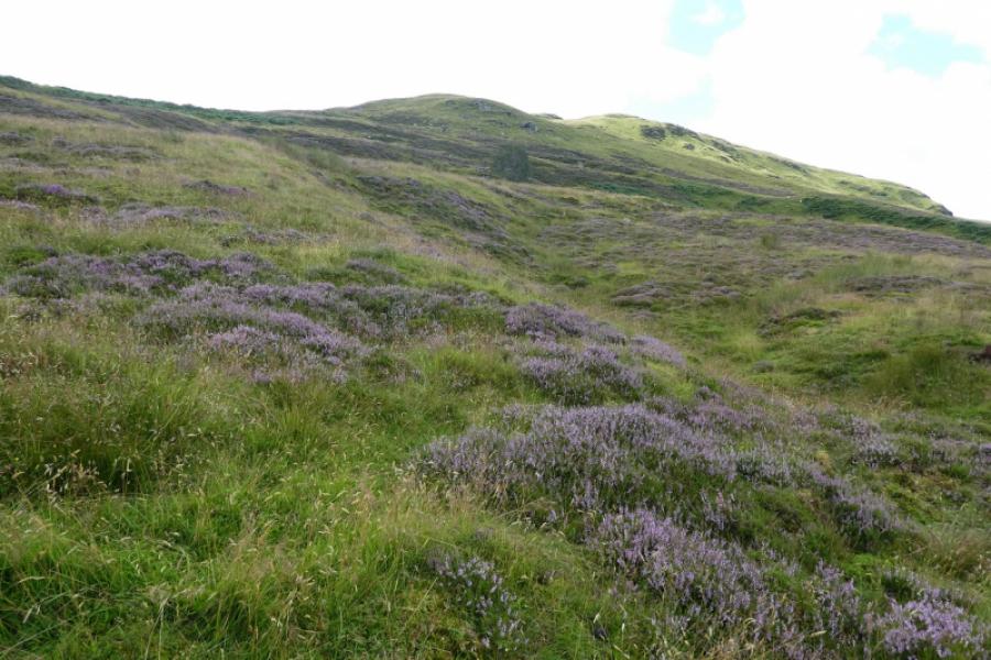
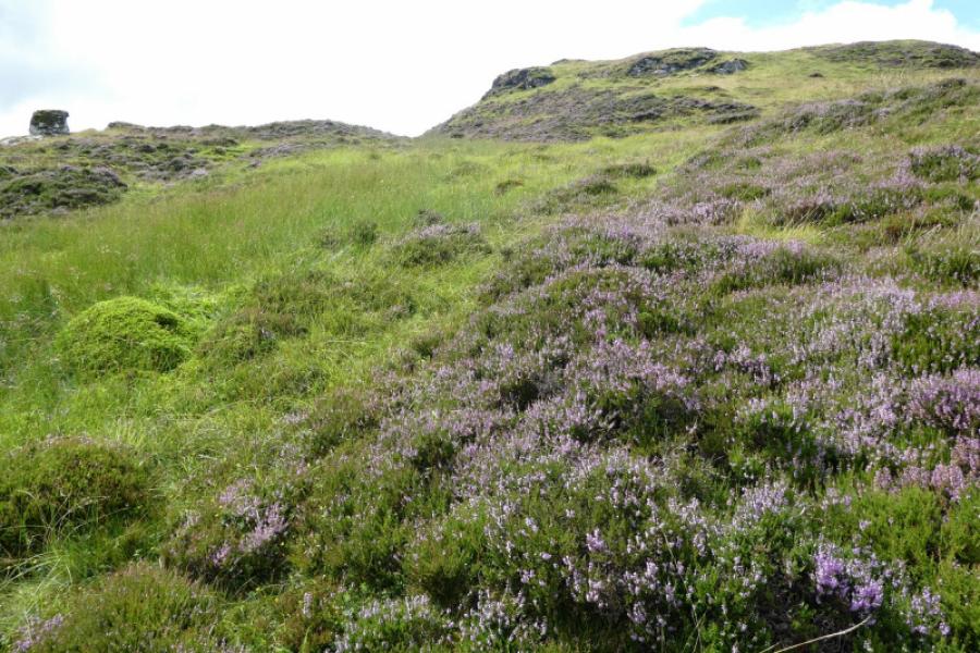
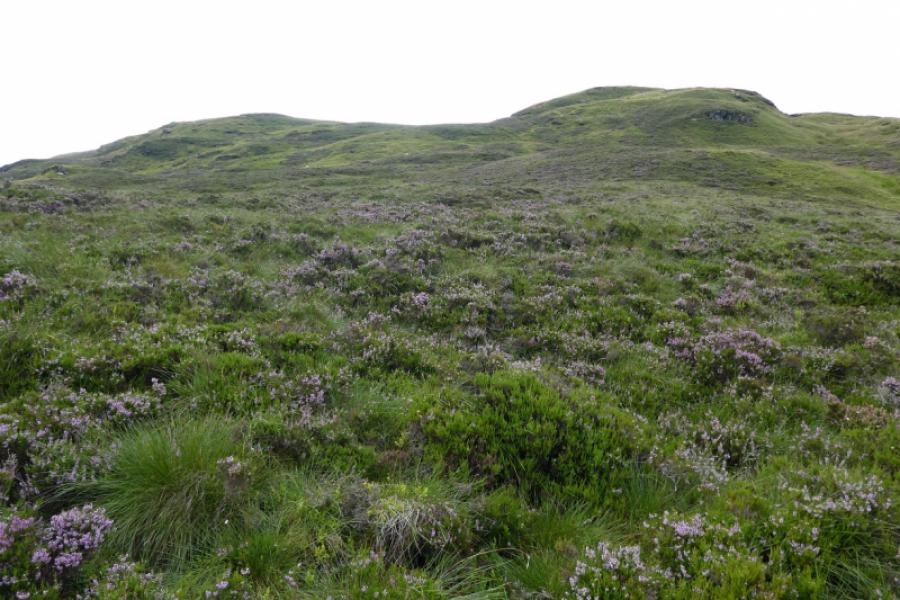
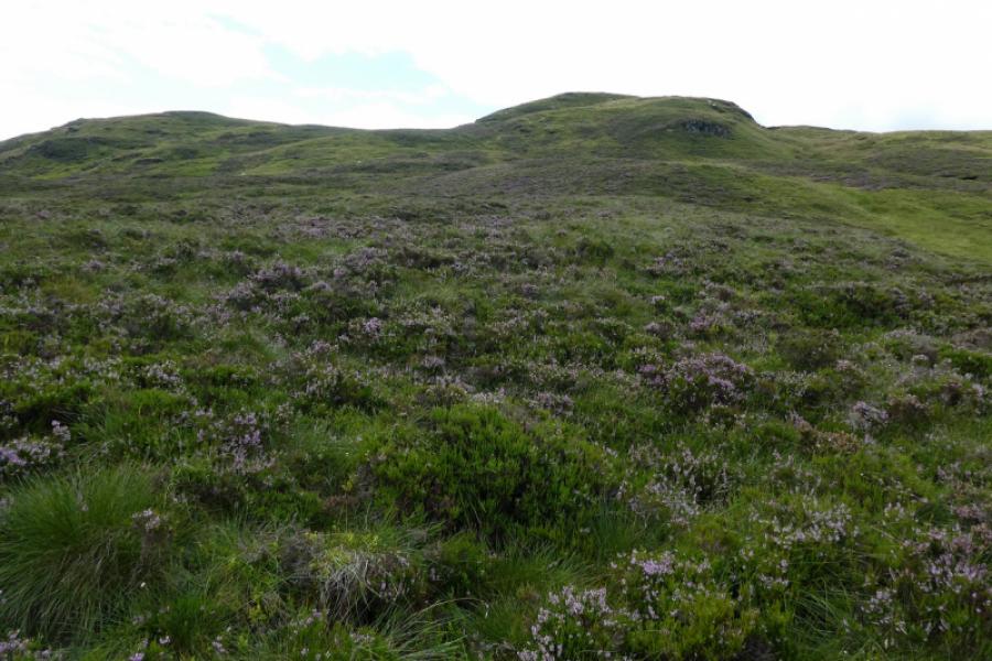
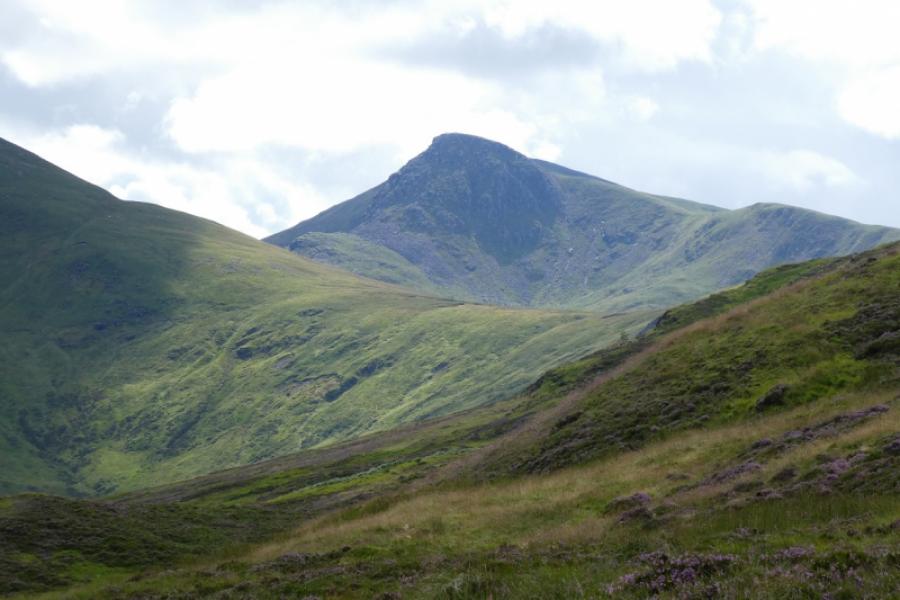
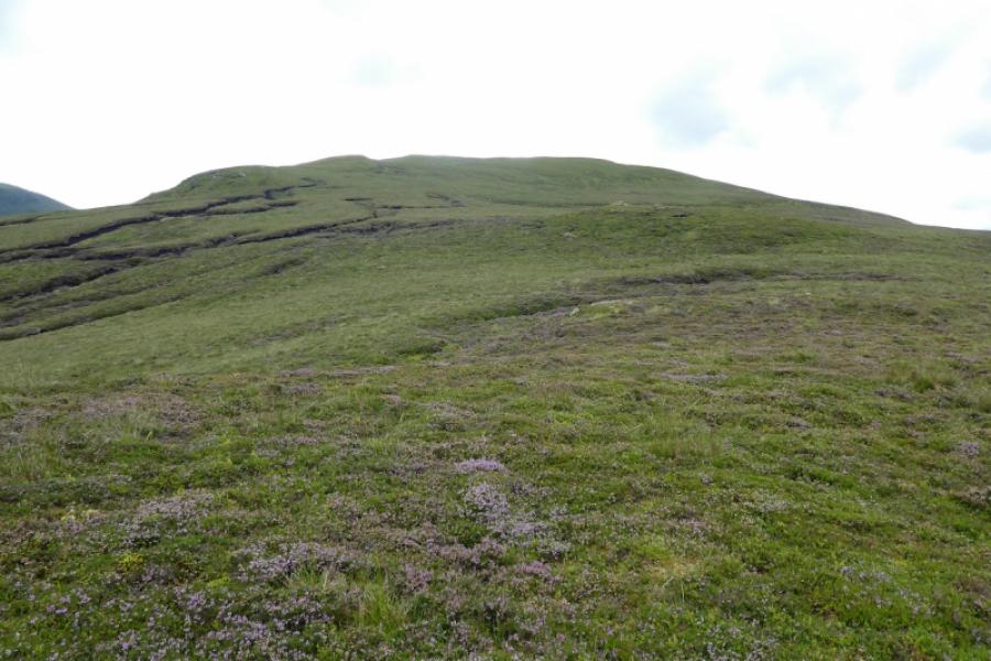
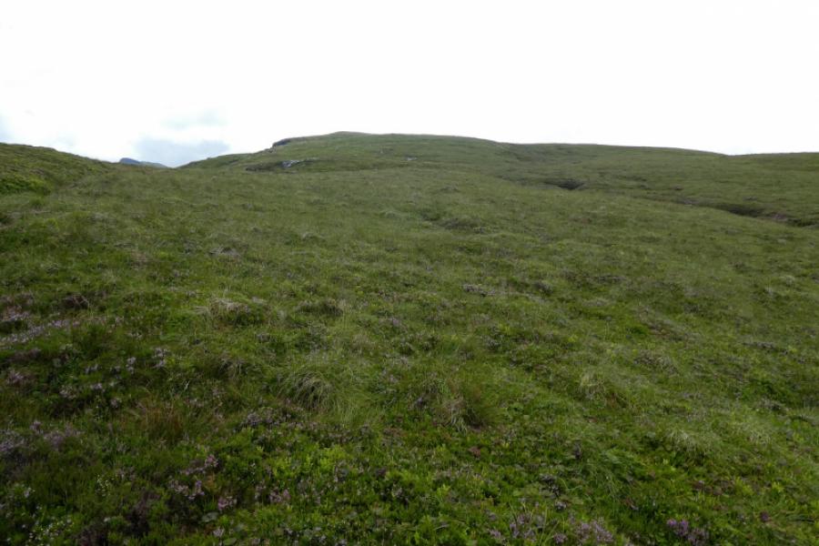
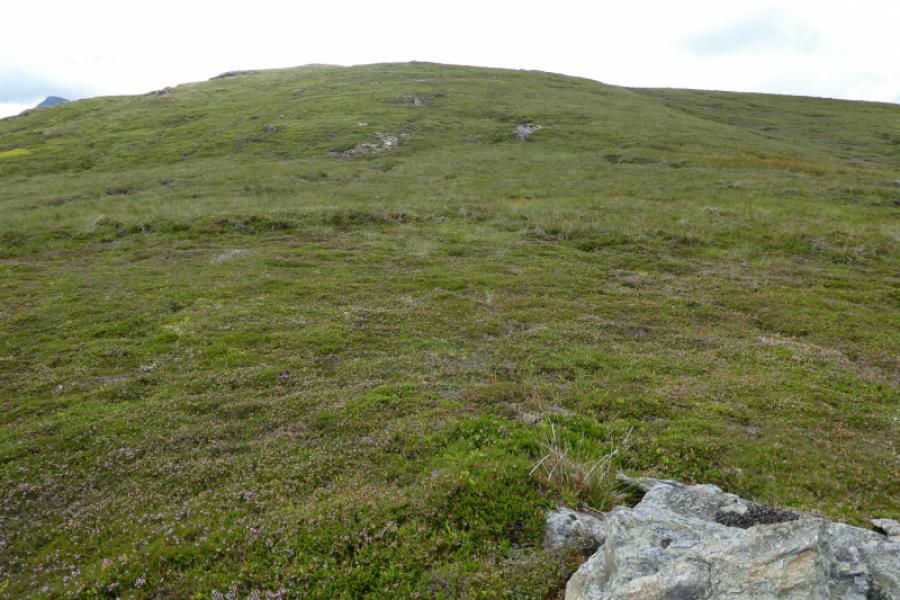
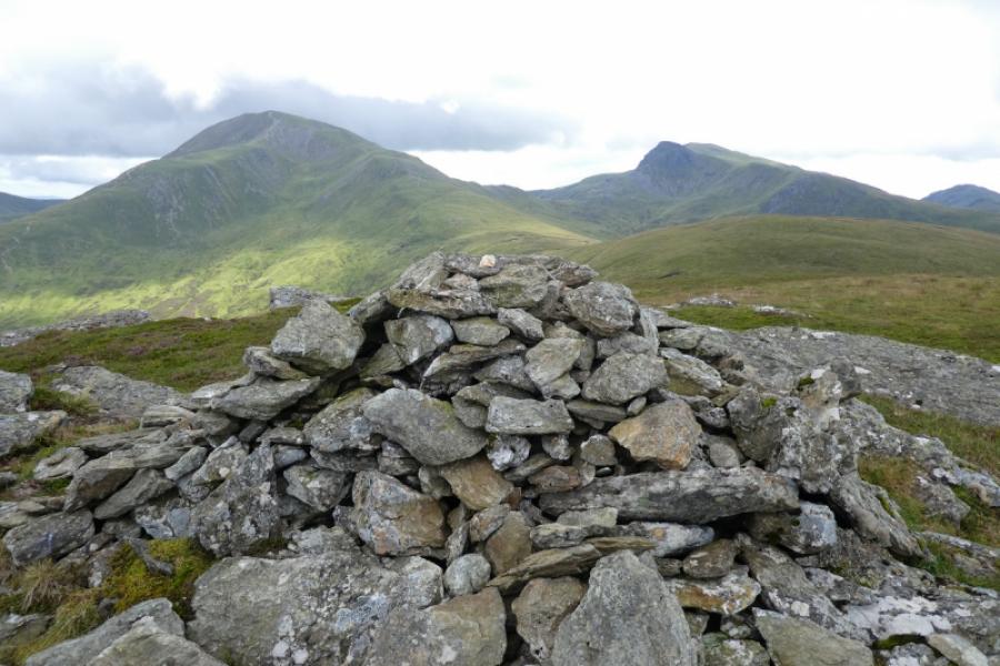
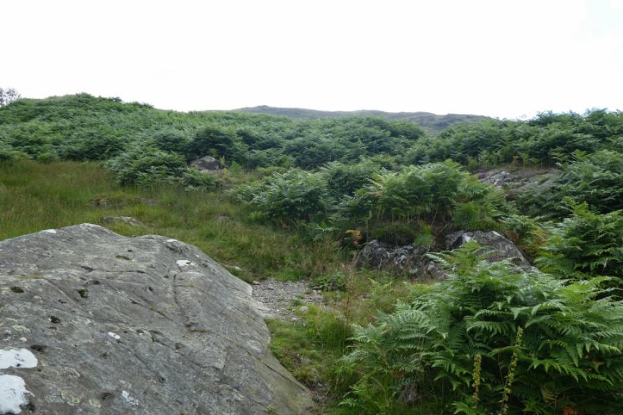
(1) Walk south up the obvious track (for Ben Vorlich) from the stone bridge. There are some helpful signs to guide you past the buildings at Ardvorlich. Look for a small wood above and to the right on the hillside. Leave the main track where an ATV track goes towards a wall with a gate to its left. Go through the gate, in a high deer fence, and continue towards the small wood. The ATV track is now hard to follow. Go around the right side of the wood then come back left to cross a fence by climbing over a secured wooden “gate”. From here, it is just a case of picking a way up the pathless hillside which is steep and rough in places plus ferns in the summer. Some outcrops with trees may be useful guides to picking a way up. There are lots of false tops which add to the frustration but just keep gaining height until the ridge swings south and is less steep but still no path. Keep going and, eventually, the summit cairn will be seen from about 400 m away. There is a significant outcrop to the left, east. The medium cairn marks the summit of Ben Our, 745 m. Directly ahead are Ben Vorlich and Stuc a' Chroin.
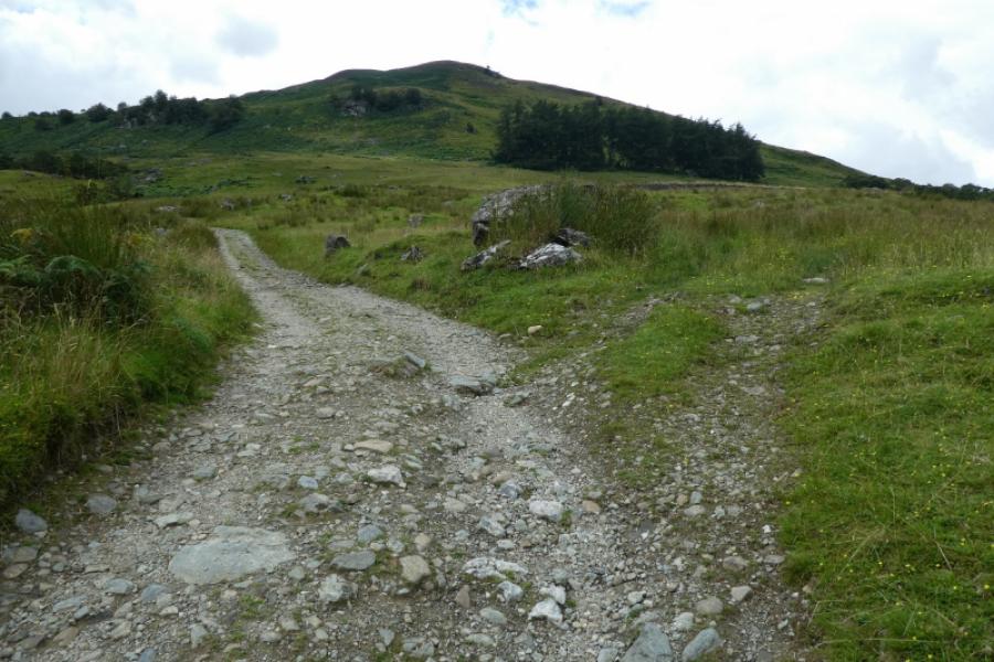
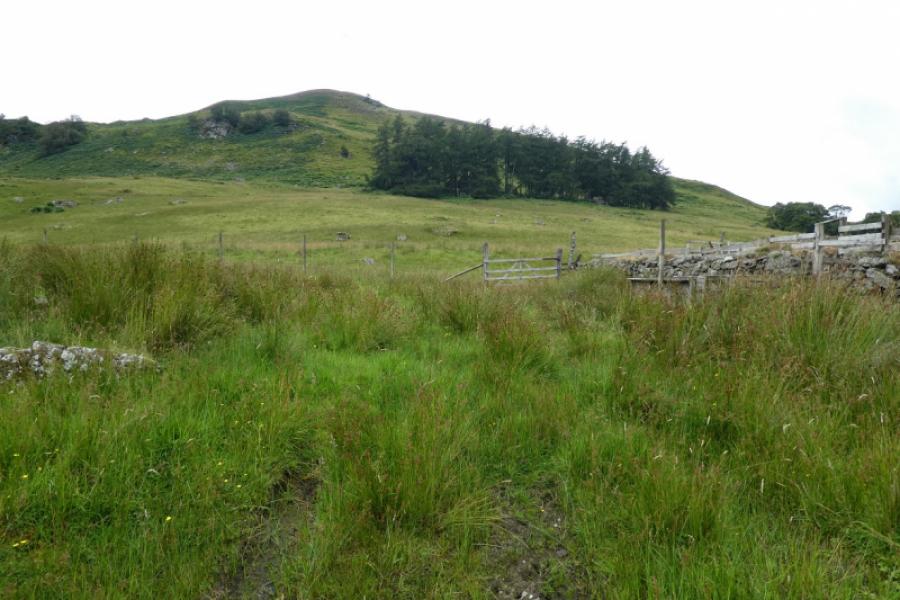
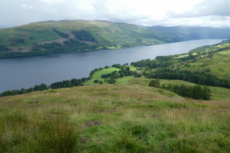
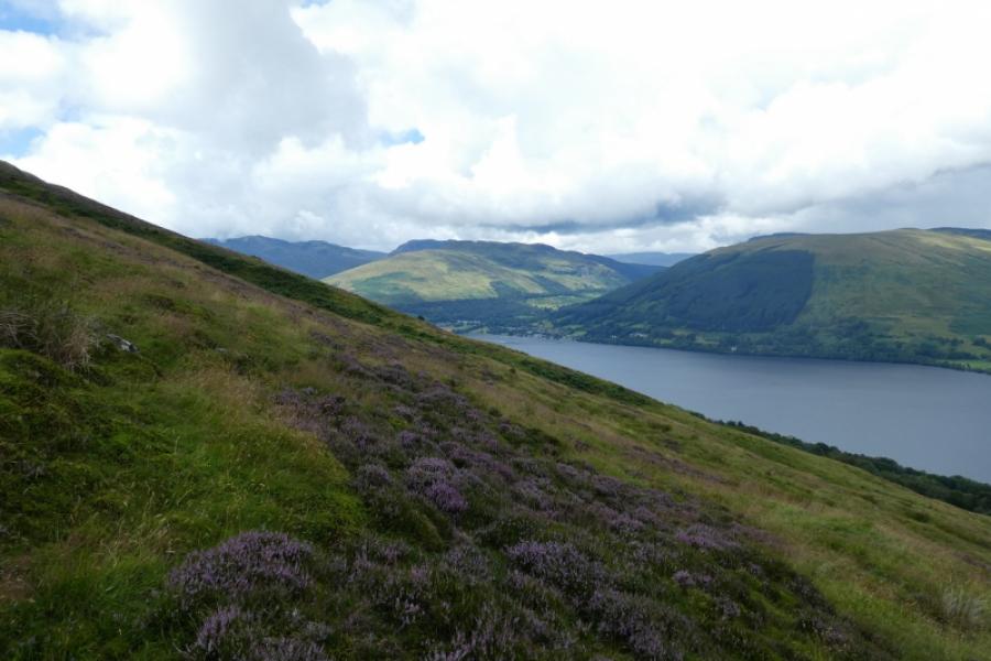
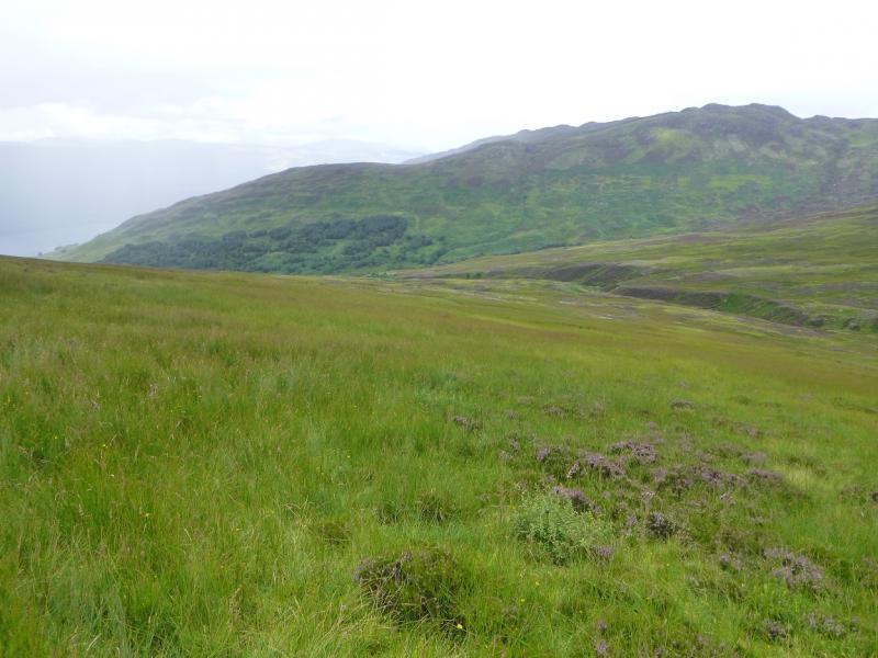
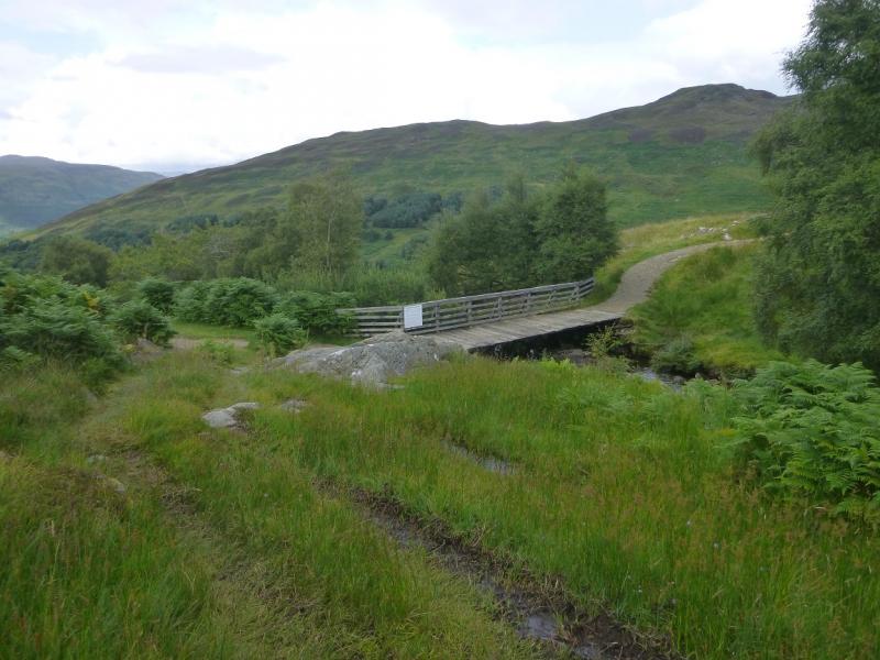
(2) Descend south east initially before turning east down rough but fairly straightforward open slopes. In clear weather, the stream coming down the open corrie will be obvious well to your right as will be the path down the north ridge of Ben Vorlich. There is a bridge where the stream and path meet and this should be aimed for even though the bridge cannot be seen from high up. There are some ATV tracks lower down and these seem to go to the bridge. Once the bridge is reached, follow the Ben Vorlich track back to Ardvorlich.
Notes
(a) This walk took place on 10th August, 2021.
Photos - Hover over photo for caption. Click on to enlarge. Click on again to reduce.