Get Lost Mountaineering
You are here: Scotland » 01 South of Oban to Stirling and Fife » Ochil Hills
Ochils West: Blairdenon Hill from near former Sheriffmuir Inn
Ochils West: Blairdenon Hill from near former Sheriffmuir Inn
Start/Finish
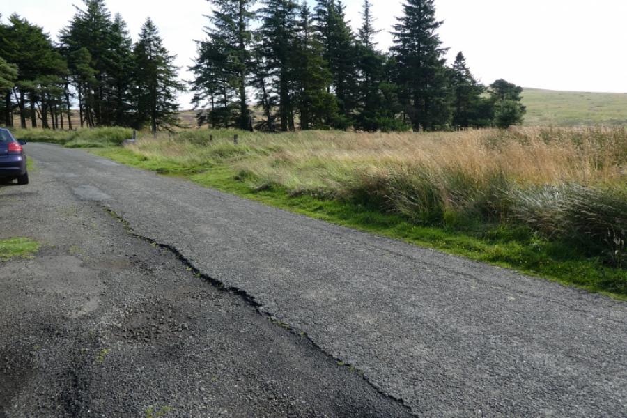
Parking spot, at NN 833 026 near small wood about 800 m north east of the former Sheriffmuir Inn. The Inn has been closed since about 2019 and may soon become a private house. It became internationally famous in the 1970s when Hercules the, allegedly tame, grizzly bear, lived there with the owners. The postcode of the inn is FK15 0LN. If this followed from Dunblane, via Glen Road, then you may “reach your destination” some distance before the inn. If so, continue along the road to the T junction then turn left. The Inn is a large white building. The only sign confirming this is a small one on the entrance gate.
Distance/Time
9 km. About 3 hours.
Peaks
Glentye Hill, 481 m, NN 847 026.
Greenforet Hill, 618 m, NN 862 018.
Blairdenon Hill, 631 m, NN 865 018.
Mickle Corum, 594 m, NN 857 026. OS Explorer 366: Stirling & Ochil Hills
Introduction
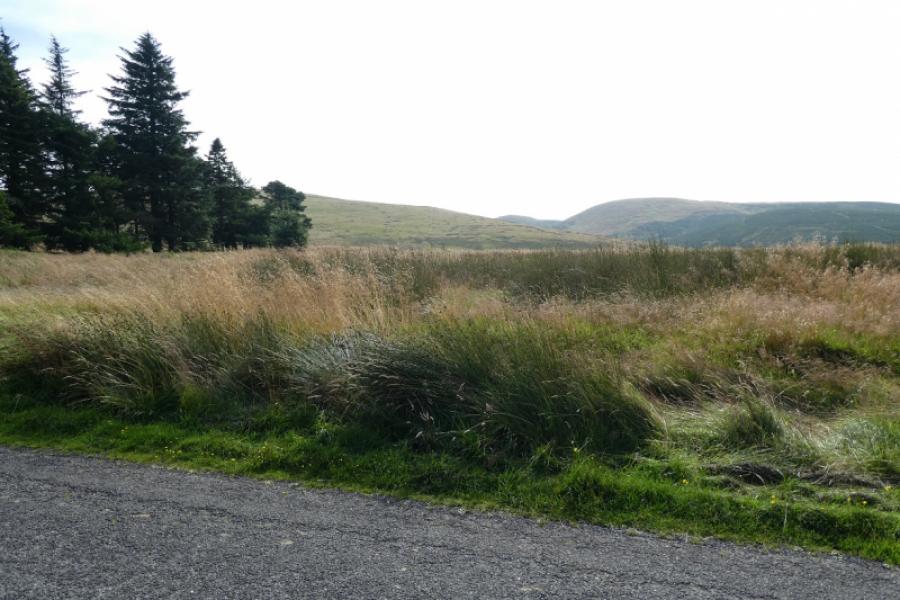
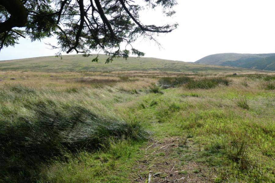
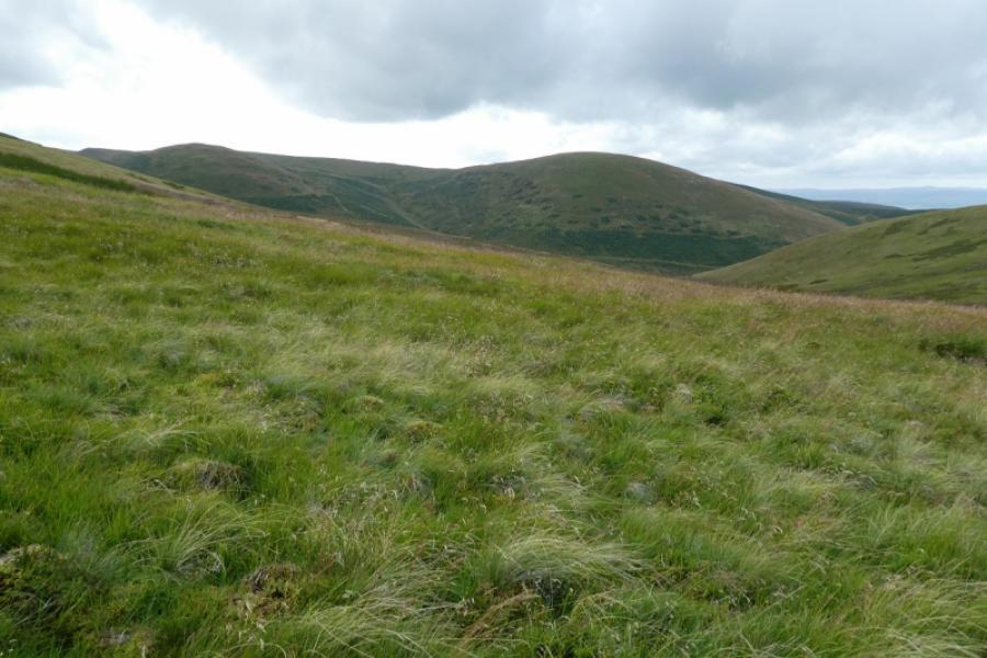
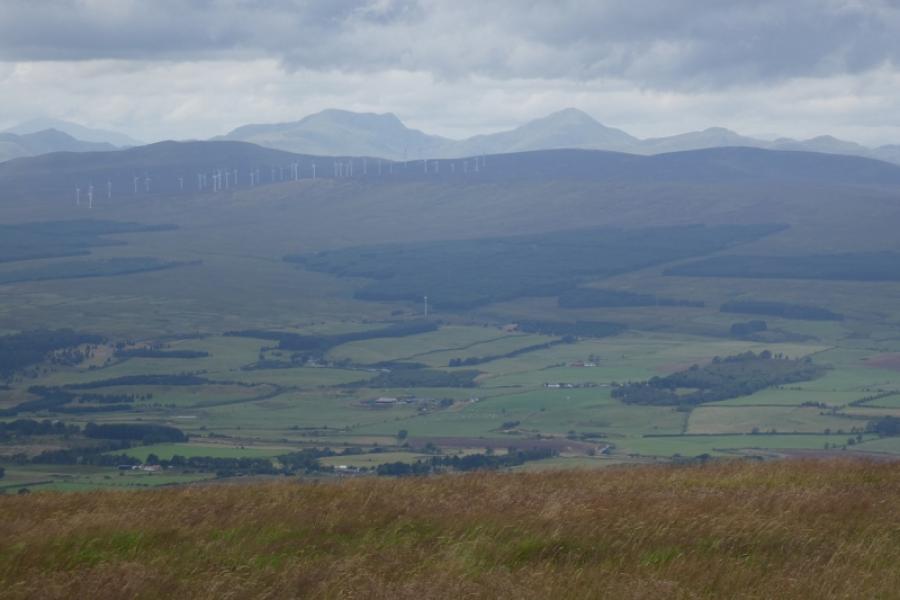
The Ochils contain many summits but, surprisingly, only one Graham showing how little drop most of the tops have. They dominate the view on the north side of the River Forth between Stirling and Kincardine. There are many paths but also some wet and boggy ground especially between Ben Buck and Blairdenon Hill which is the summit most remote from all the others. This route ascends Blairdenon Hill only but from the west not from Ben Buck. It is a very pleasant approach with a path or track all the way and hardly any wet or boggy ground. It is also a fairly quiet route so you may well have the hill to yourself.
Route
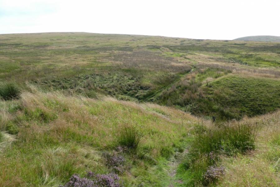
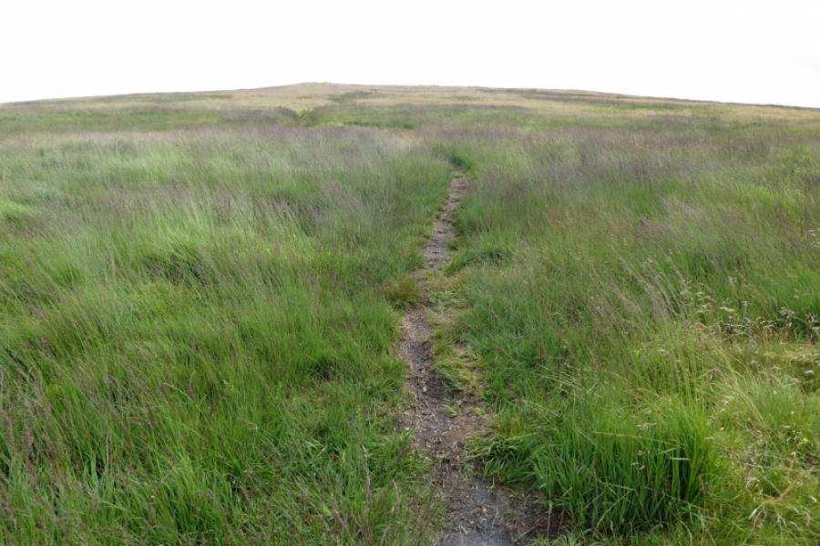
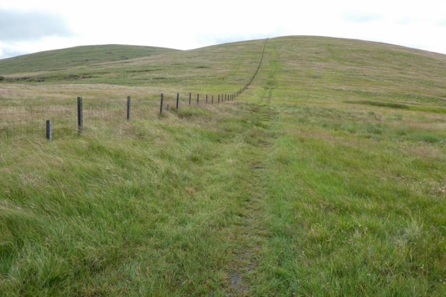
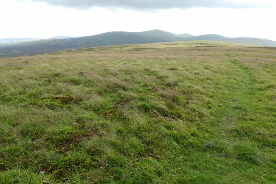
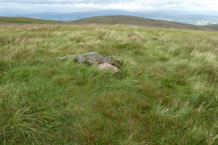
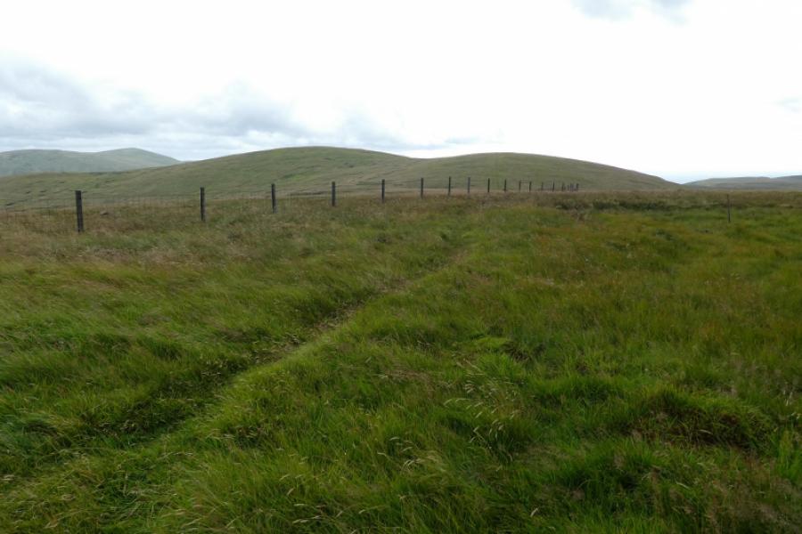
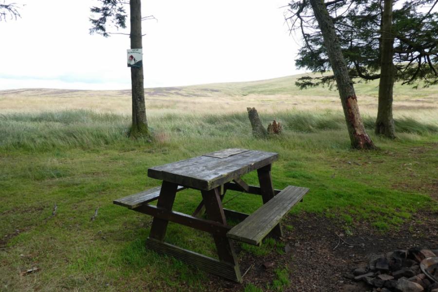
(1) Just to the south of the small wood is a blocked off gate. The path starts a few metres south of the gate and leads into and through the pleasant small wood. The path then continues to the left of an old fence, crosses a deep cut stream then ascends Glentye Hill, straight ahead. Almost at the top, the path splits. Take the left fork which goes to the highest part of the hill. The location of the highest point is hard to determine and there is no cairn to help you but this is Glentye Hill, 481 m.
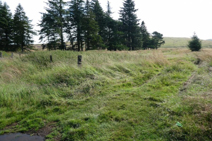
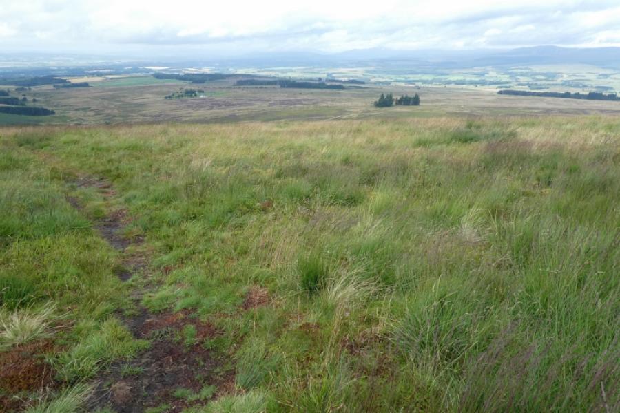
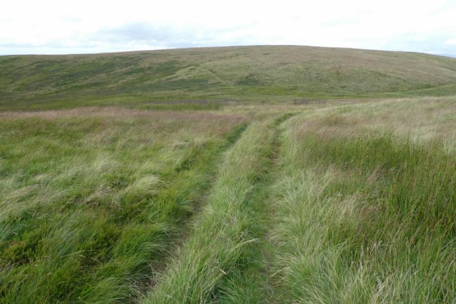
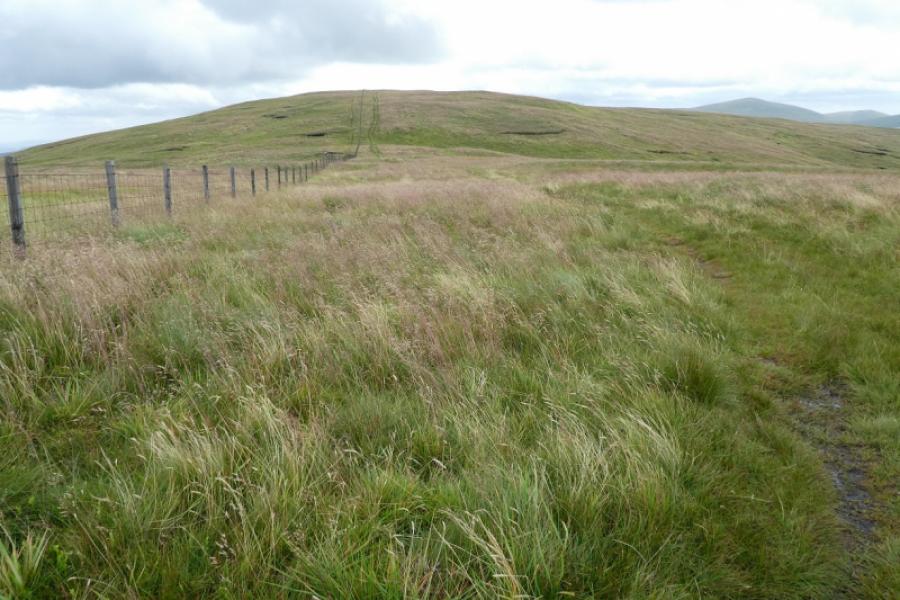
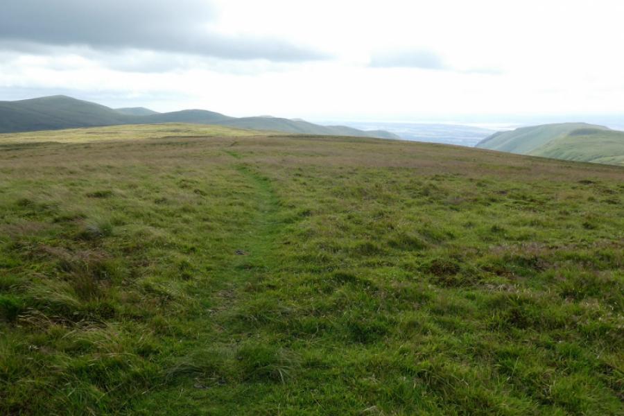
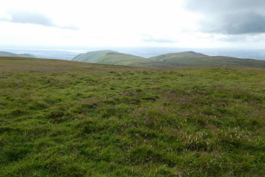
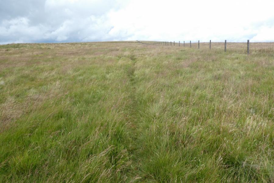
(2) Continue on the path and descend to the col below Mickle Corum. The path becomes an ATV track and ascends up before drifting right to go around the south side of Mickle Corum to reach a fence close to a gate. Follow the fence SSE up the easy angled slope. Again there is no obvious highest point or cairn but this is Greenforet Hill, 618 m; the highest point seems to be on the fence line.
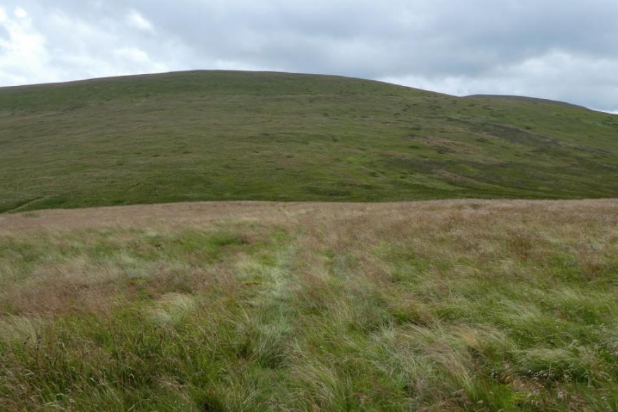
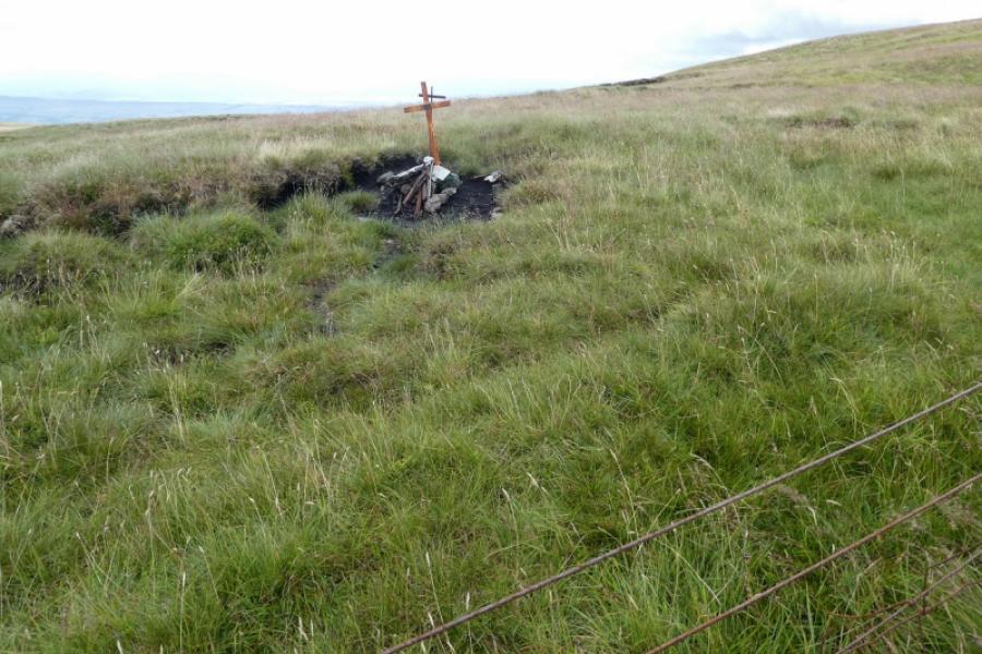
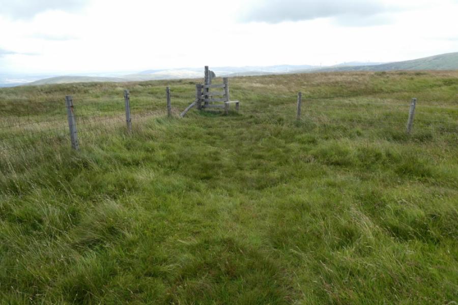
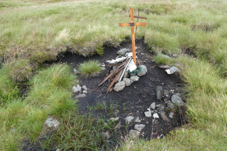
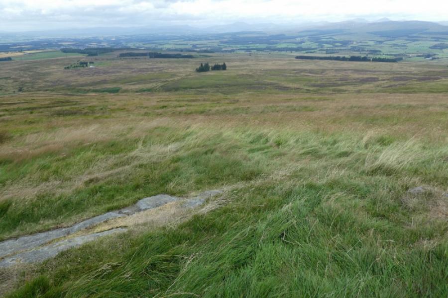
(3) Follow the fence when it turns ENE and ascend, past a memorial cross to an aircrash, to reach a fence junction is reached. Cross both stiles and follow a very short path to reach the very small cairn which marks the summit of Blairdenon Hill, 631 m.
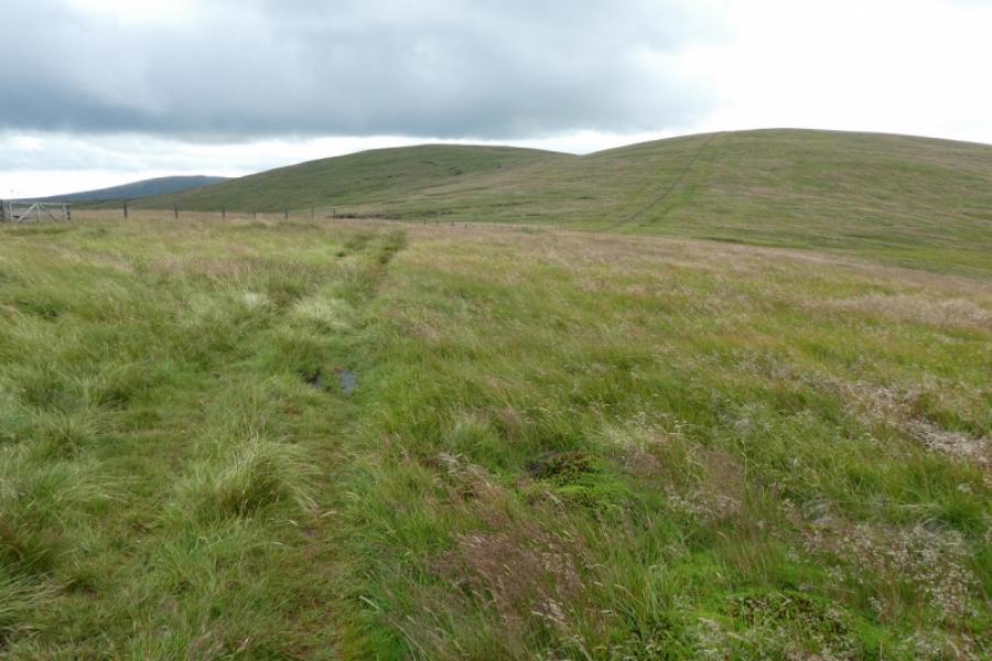
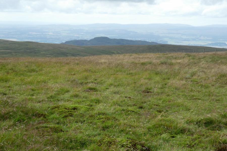
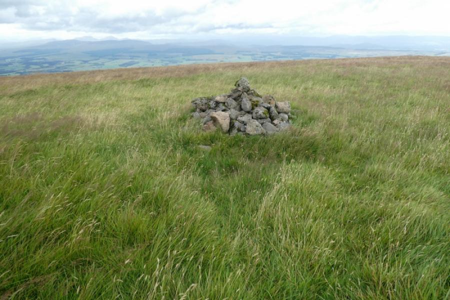
(4) Retrace along the fence, over Greenforet Hill to reach the gate near the S col of Mickle Corum. Continue ahead, on a reasonable path/ATV track, to soon reach a more obvious but small cairn which is the summit of Mickle Corum, 594 m.
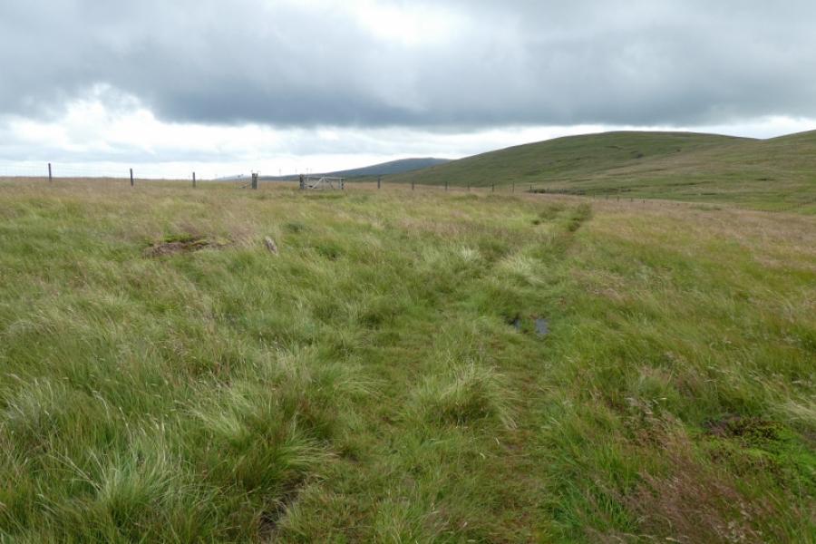
(5) Retrace to the gate the retrace down the path/track, over Glentye Hill back to the start. The “squat cairns” seen to the left of the fence just before the small wood are the remains of an old wall and are not worth a detour to visit. The collection of ancient stones shown, by the map, to be further left still were not seen from any point on this walk.
Notes
(a) This walk took place on 12th August, 2021.
Photos - Hover over photo for caption. Click on to enlarge. Click on again to reduce.