Get Lost Mountaineering
You are here: Scotland » 01 South of Oban to Stirling and Fife » Ben Lui Range to Crianlarich
Beinn Bhalgairean via Succoth Track
Beinn Bhalgairean via Succoth Track
Start/Finish
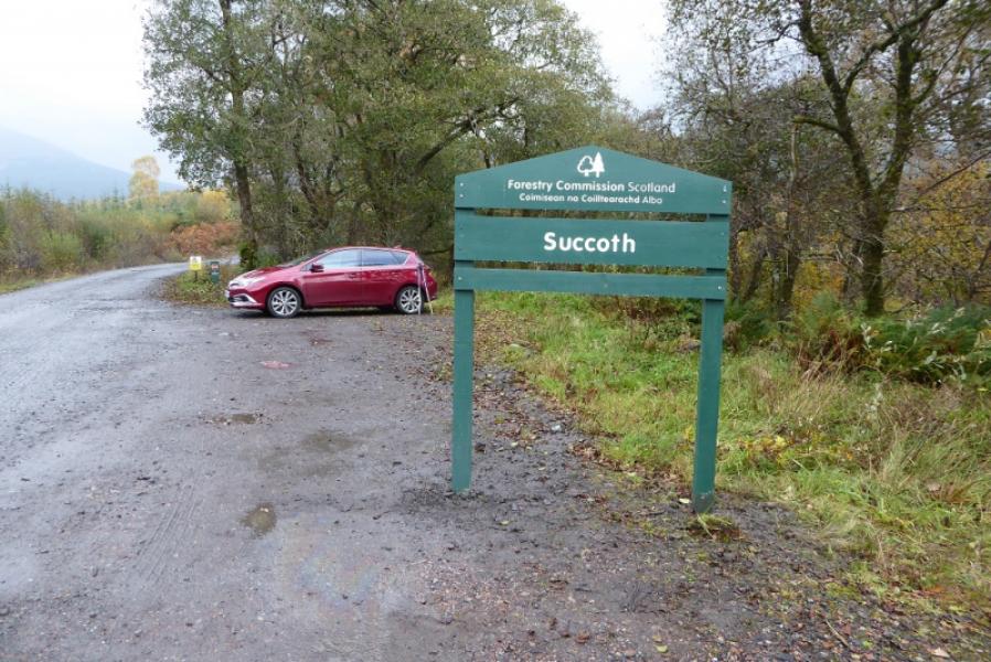
Parking spaces just after the start of the forestry track to Succoth. This goes south from the A85, Tydrum to Dalmally road, about 2 miles east of Dalmally and about 300 m west of the B8074 Glen Orchy road to Bridge of Orchy. There is a sign at the start of the track.
Distance/Time
12 km About 4 – 5 hours.
Peaks
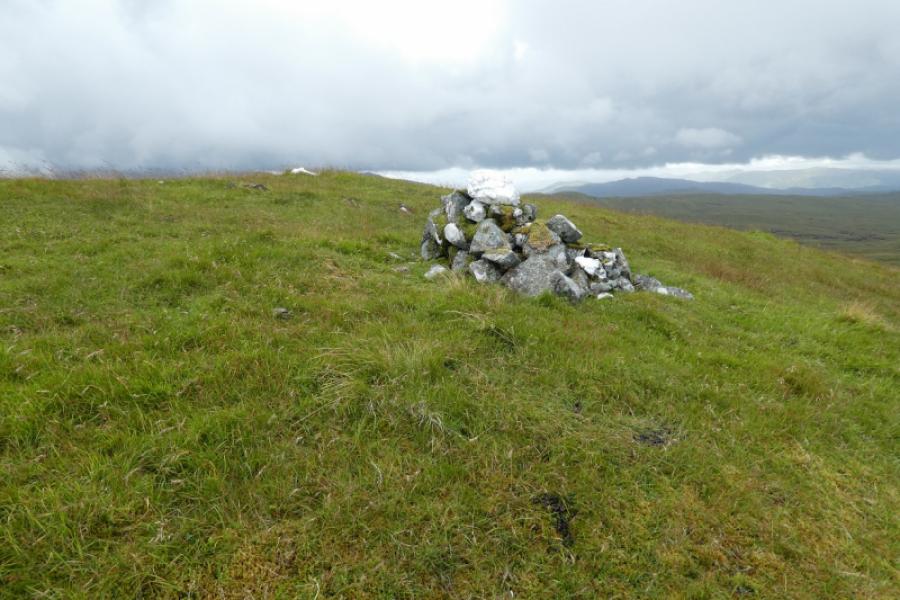
Beinn Bhalgairean, 636 m, NN 202 241. OS sheet 50: Glen Orchy
Introduction
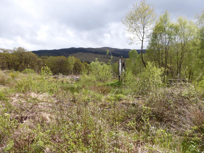
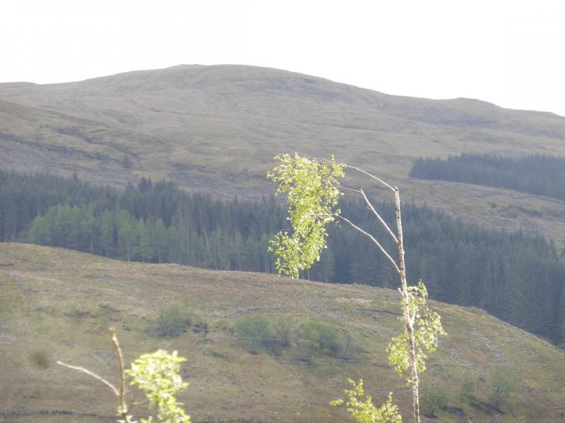
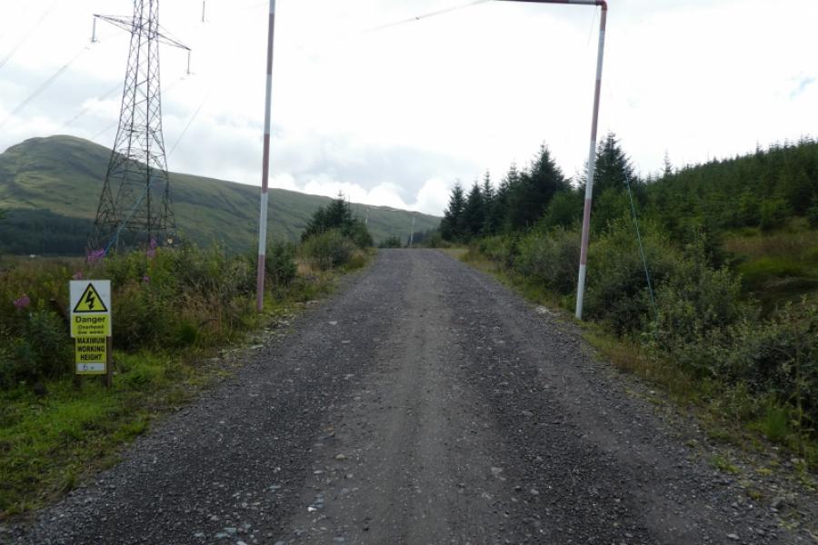
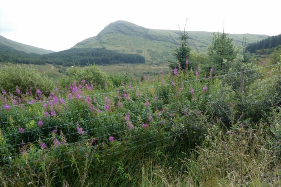
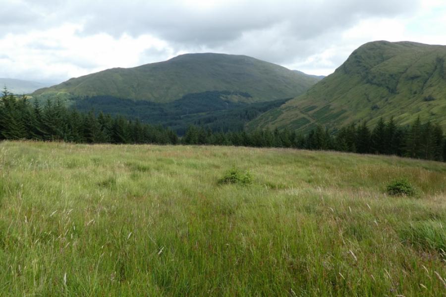
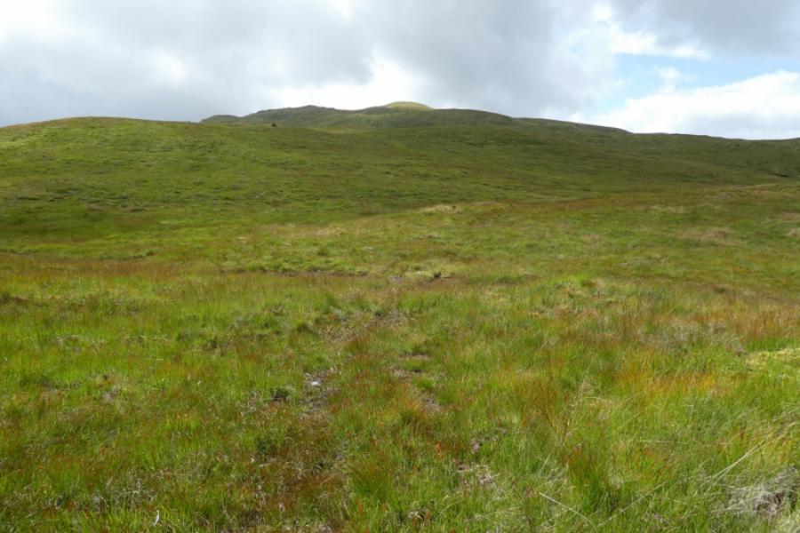
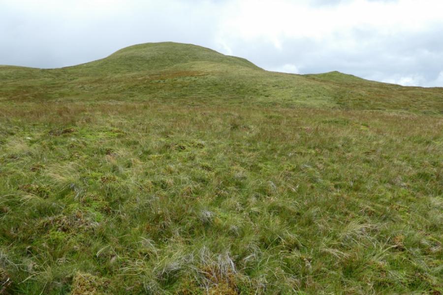
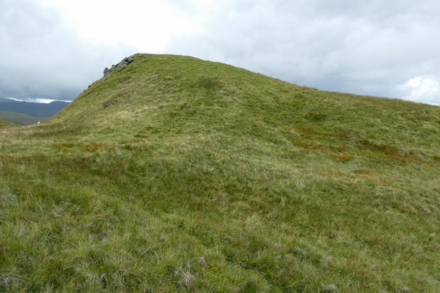
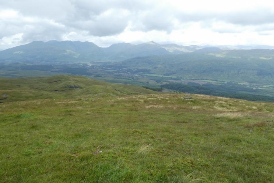
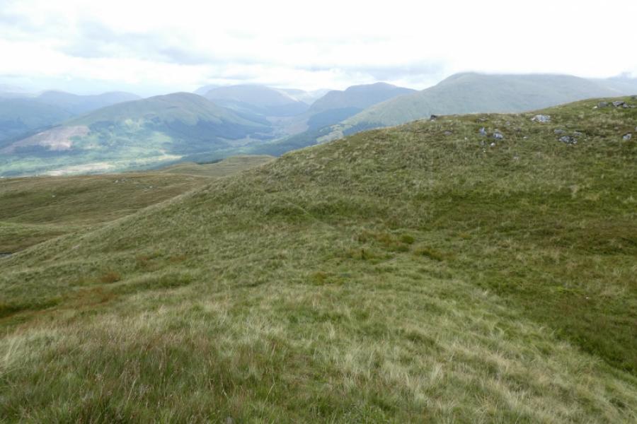
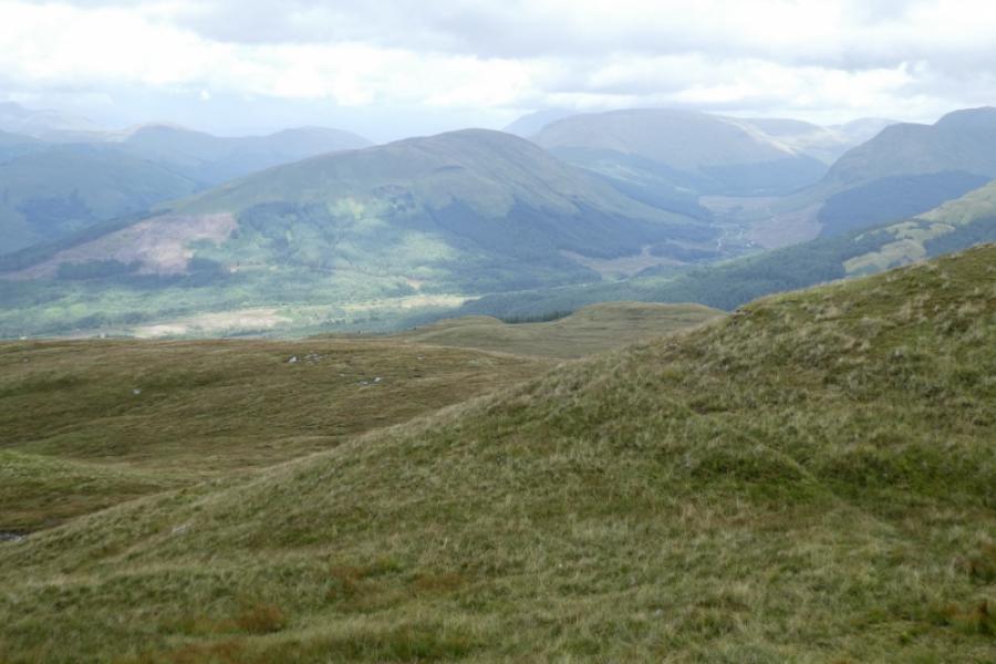
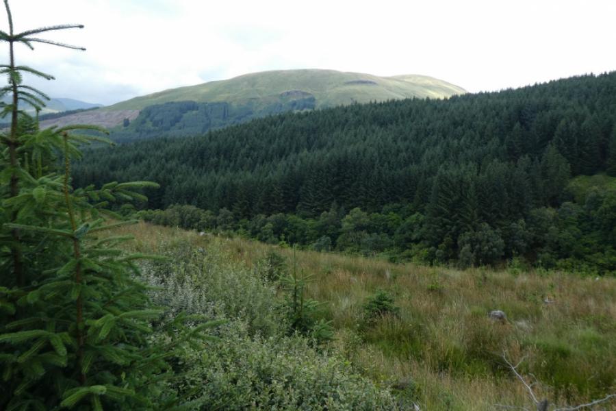
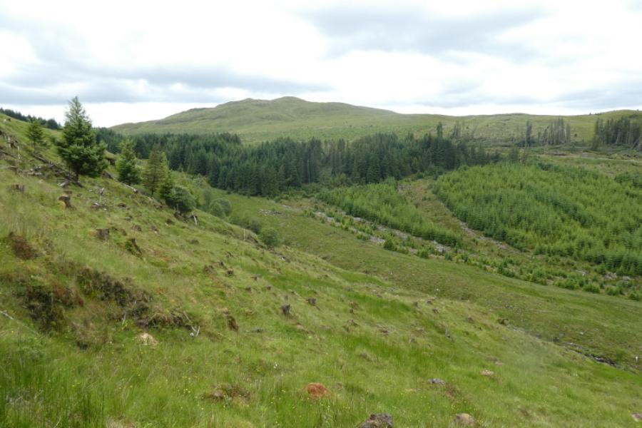
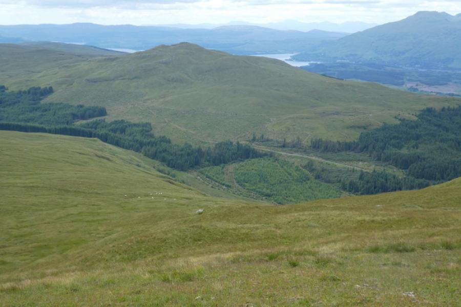
This is a fairly pleasant walk which uses a heavy duty forestry track to get fairly close to Beinn Bhalgairean and a bicycle would save time on this route especially as the return is almost all downhill. There are two short sections of rough and overgrown track to leave the forest before fairly easy but pathless open hillside leads to the summit whose cairn does not seem to be at the highest point.In clear weather, there will be views to Beinn na Sroine, Beinn Bhuidhe, Beinn a' Chleibh, Ben Lui, Beinn Eunaich, Stob Diamh, Meall nan Gabhar and many more. Beinn na Sroine and Meall nan Gabhar are particularly prominent. On 14/8/21, there were many, numbered, roped off “pools” by the side of the track as well as warnings about work on the pylons however this seemed to be taking palce well after the hair pin bend so did not impact on the route. Note that a high wire deer fence has to be climbed over as the summit is neared.
Route
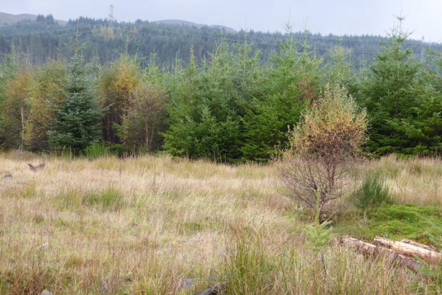
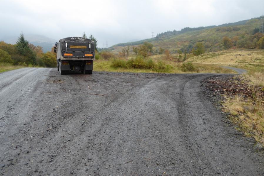
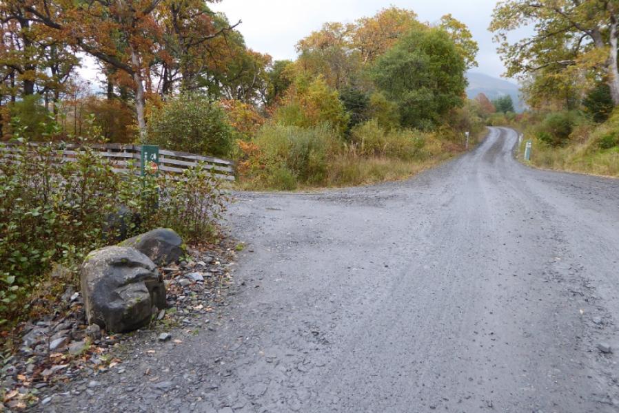
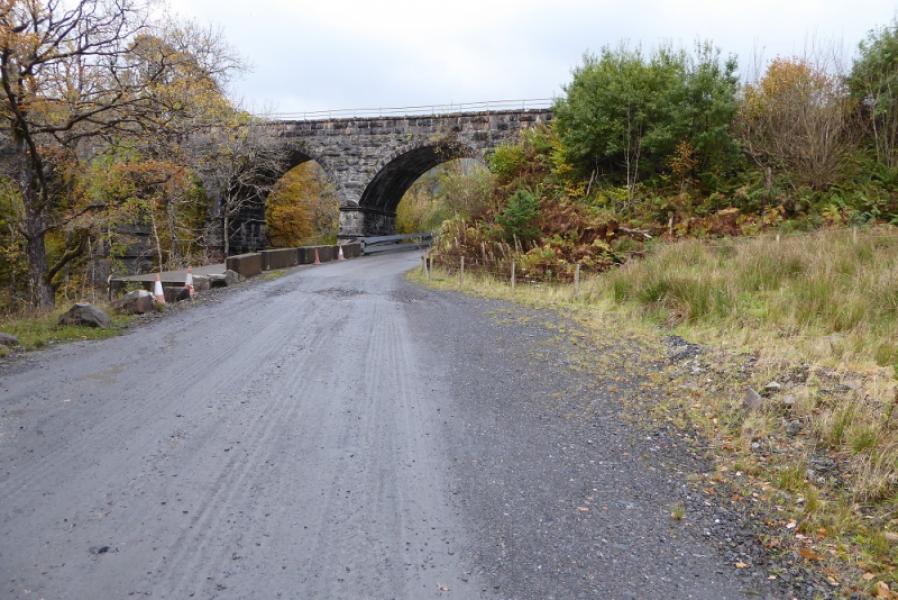
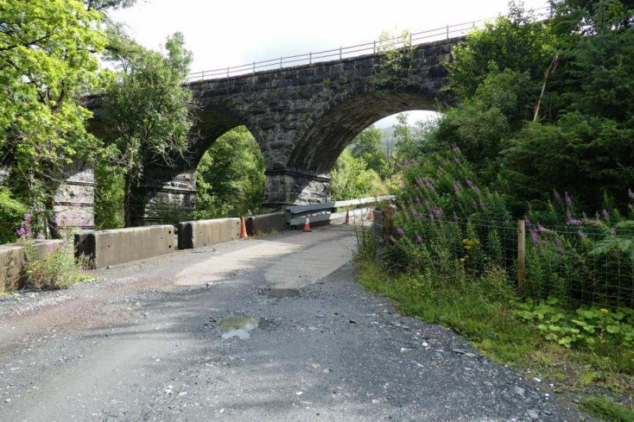
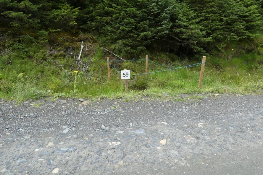
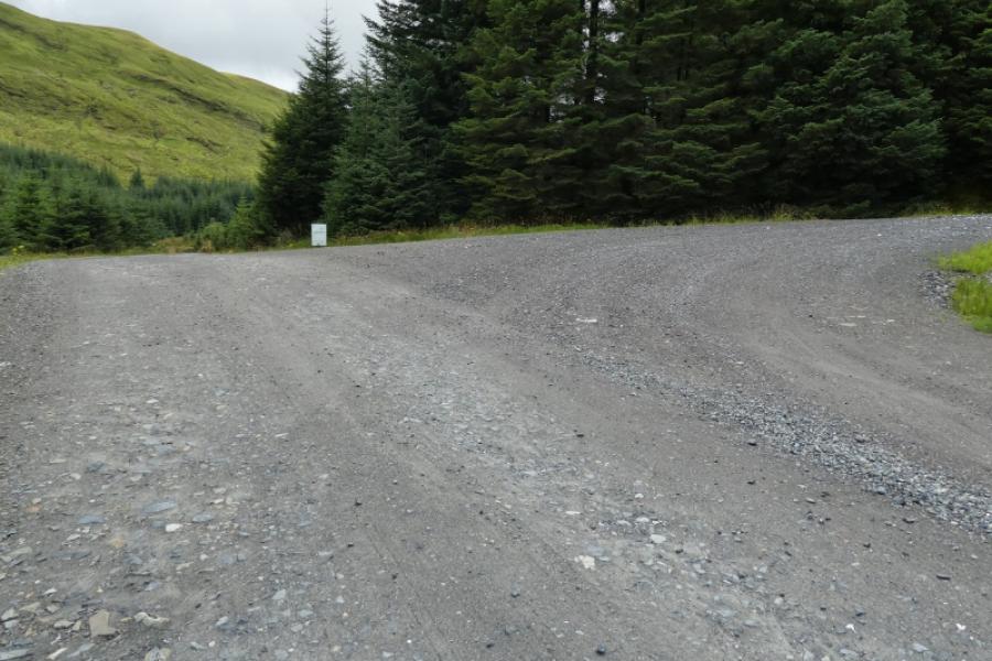
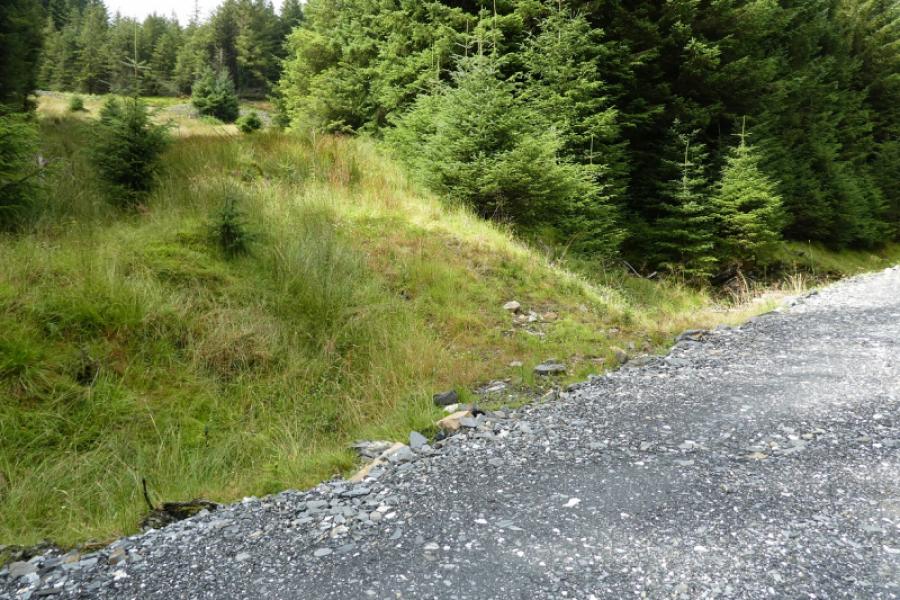
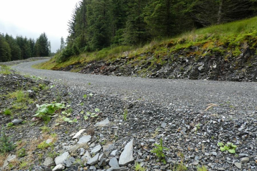
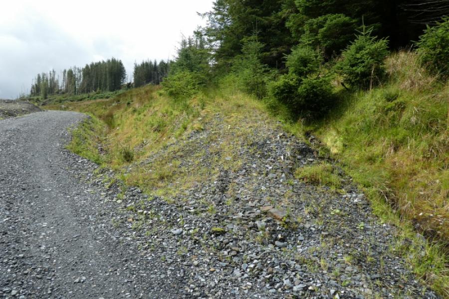
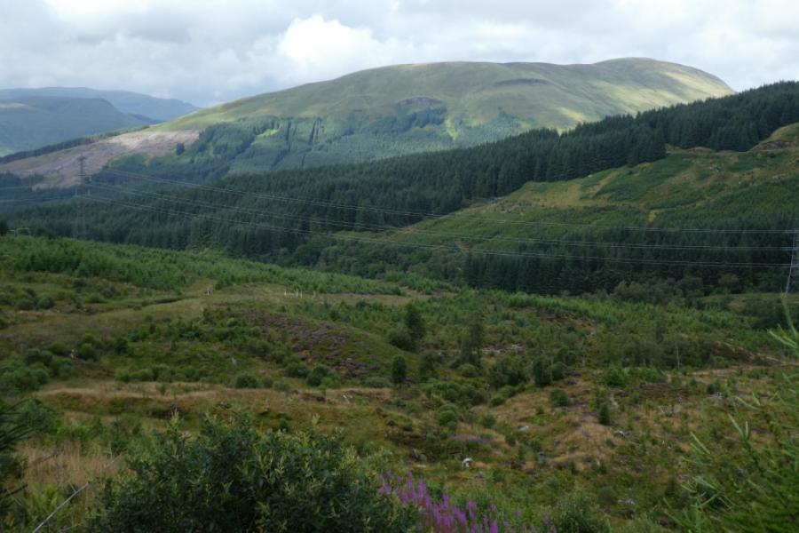
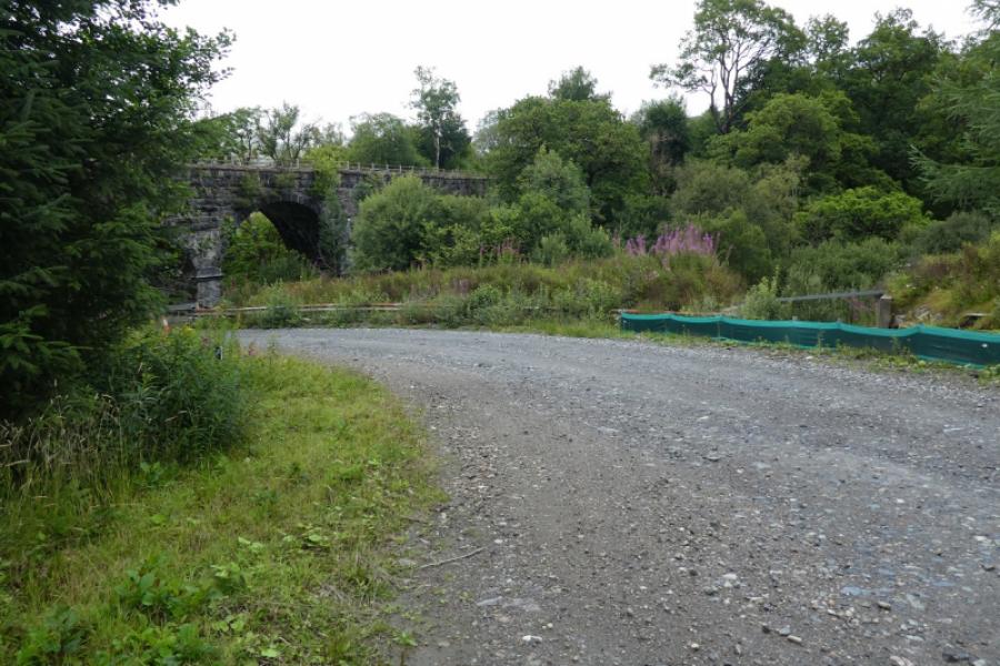
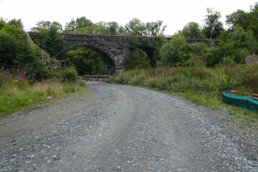
(1) Walk up the track going straight on at any junctions. Pass the bridge on the left, which is the track to Succoth Lodge, and continue ahead to pass under the multiple arched railway viaduct. Continue on the track which bends right after the railway. Stay with the main track as it passes below the pylons. Continue to reach a hairpin bend soon after pool 59. A new track comes in from straight ahead to effectively make the hair pin a T junction. Go round the hair pin (not straight on). At the first firebreak, an old track goes left and uphill. The track is now quite overgrown but soon reaches a good upper track. Turn left, go round a bend and see another similar old track forking off to the right which may actually be the original continuation of the first old track before the new track was created. The second new track is a little easier to follow but is also overgrown and there are a few fallen trees to step over or duck under. Before too long, the track leaves the forest and becomes stony again before soon petering out. The ground is fairly featureless and there is no path so head roughly WSW. In clear weather the rounded dome of Beinn Bhalgairean will soon be seen. Further on a newish deer fence has to be climbed over and it is about 2 m high with no stile or gate in sight. Continue on. There is a faint apth for the fianl section but it isn't easy to locate but in clear weather, the target is obvious. The rounded dome seen for some time is not the actual summit which is the top just behind it. There is a cairn on the summit which seems about 3 m away from the highest point but this is Beinn Bhalgairean, 636 m.
(2) Retrace back to the edge of the forest, down the old track to the new one. Turn left then look to leave it a little further to descend down the othe rold track to the main lower track. Turn right and follow this to the hair pin bend. Turn left and retrace back to Succoth viaduct and then to the start.
Notes
(a) This walk took place on 14th August, 2021.
Photos - Hover over photo for caption. Click on to enlarge. Click on again to reduce.