Get Lost Mountaineering
You are here: Scotland » 01 South of Oban to Stirling and Fife » Loch Earn to Loch Tay
Tomnadashan Caves (Monty Python & Holy Grail)
Tomnadashan Caves (Monty Python & Holy Grail)
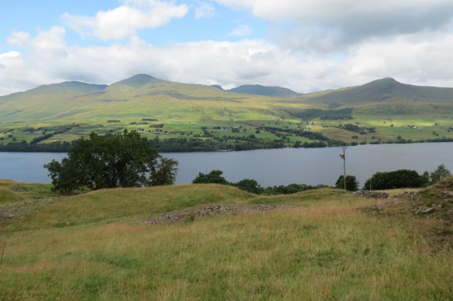
from South Loch Tay Road
Start/Finish
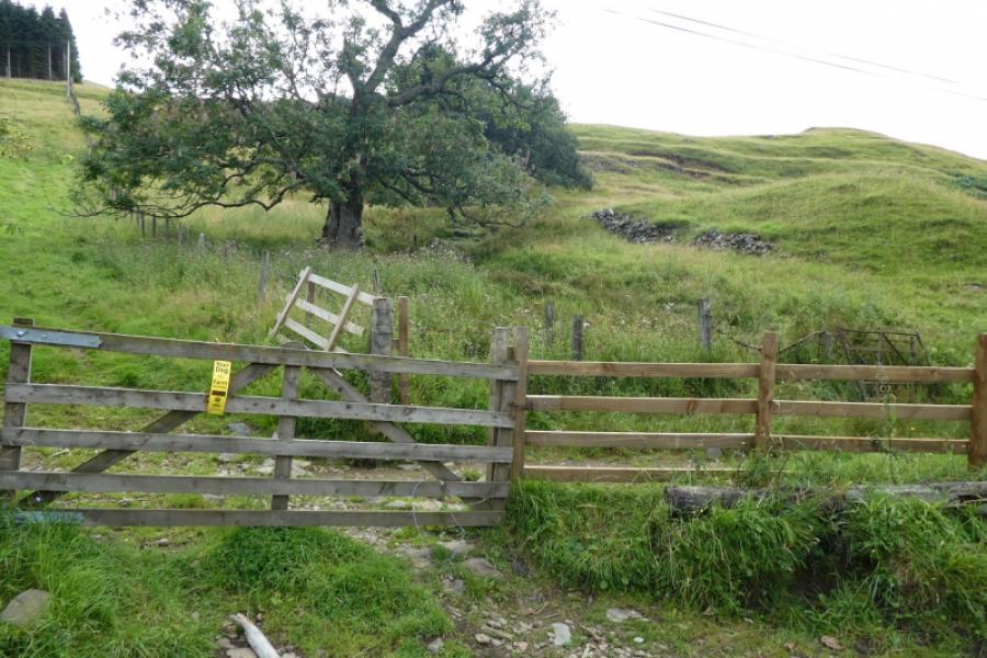
The path/track to the caves starts at NN 689 379 where there is a gate. An easier gate is about 100 m NE at NN 691 379. There are no sensible parking spaces nearby as the South Loch Tay road is very narrow for most of its length with few passing places which must not be used for parking. The start is about 2 miles NE of the hamlet of Ardeonaig and about 1 mile SW of the hamlet of Ardtalnaig. Parking in either hamlet is not easy although there is a hotel at Ardeonaig. Between the two hamlets, it might be possible to park by the dark, recessed waterfall by the bridge close to the Old Manse but this is still a mile from the start. The nearest house is at Wester Tullich, about half a mile away, but it won't be easy to park there either. Many cyclists use this road despite it having many ups and downs but this does make access easier since bicycles can easily be taken through the access gate and off the road. Likewise motorcycles.
Distance/Time
1 km About 1 hour
Peaks
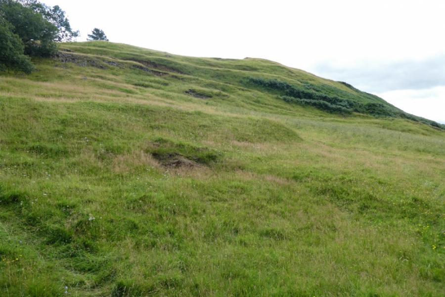
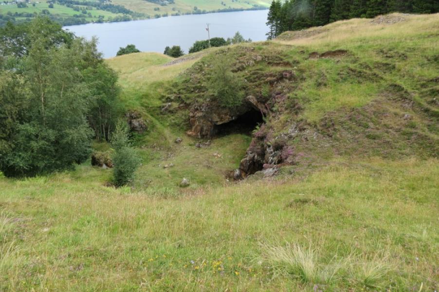
No peaks. The caves are about 50 m above the road at about NN 692 379.
OS Sheet 51: Loch Tay – this shows little detail.
Pathfinder NN 63/73 Upper Loch Tay shows the track to the caves.
Introduction
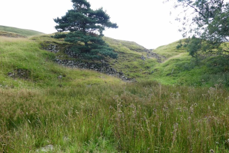
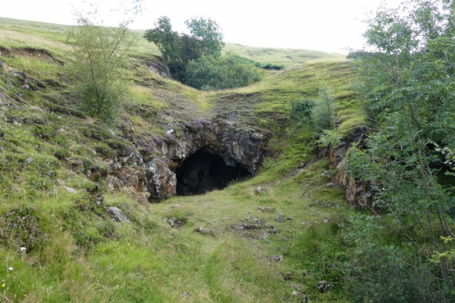
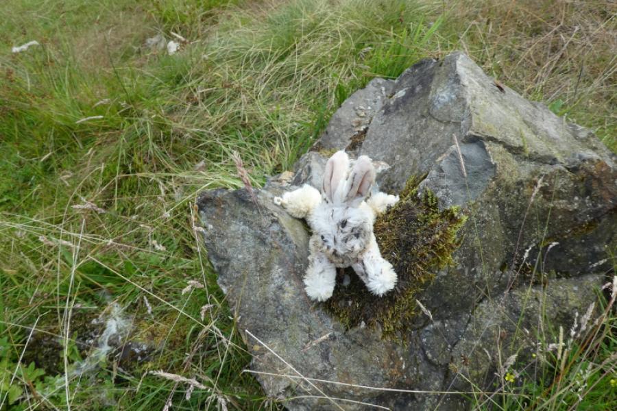
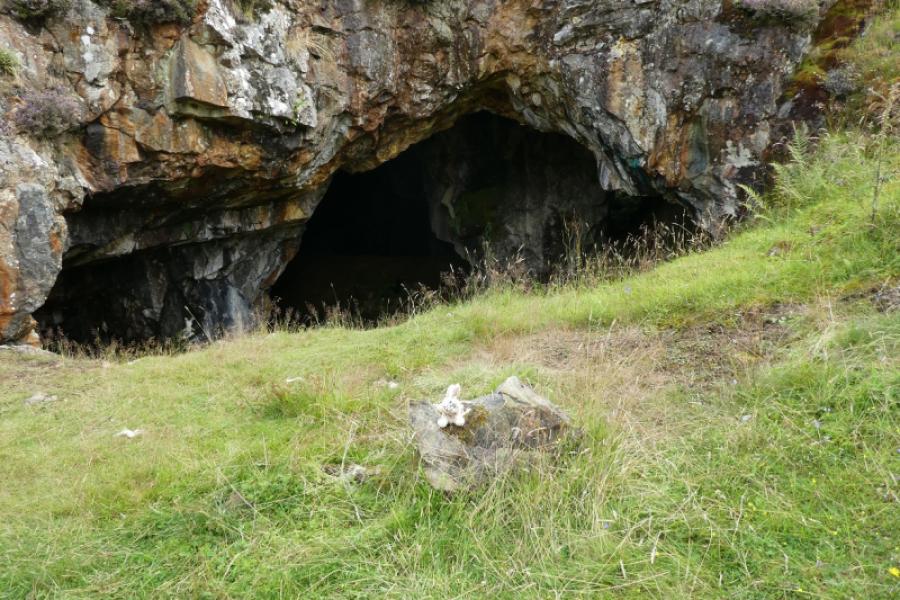
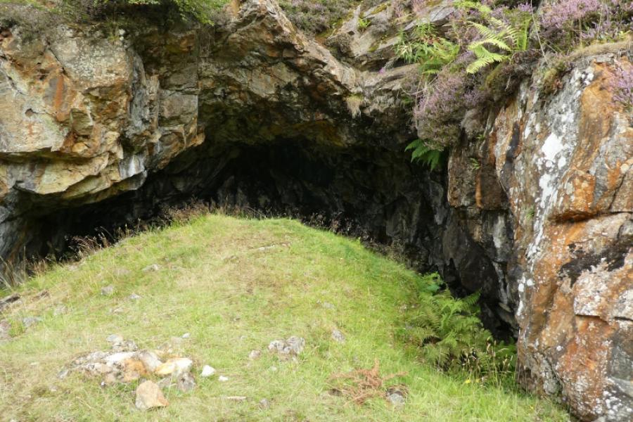
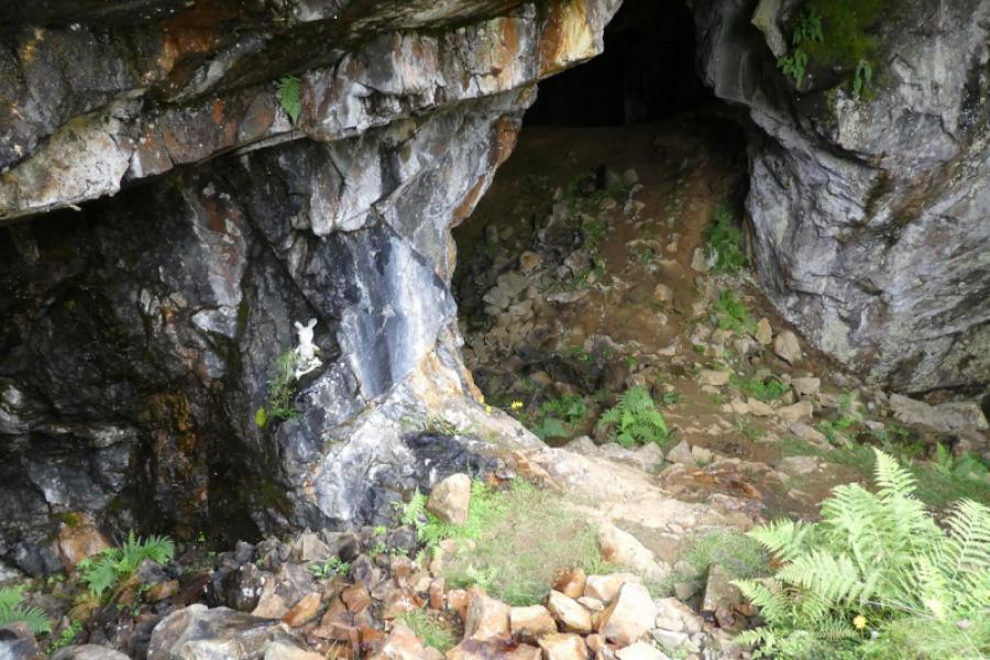
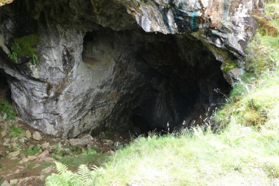
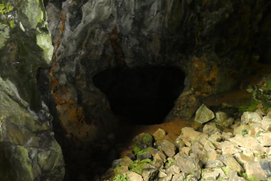
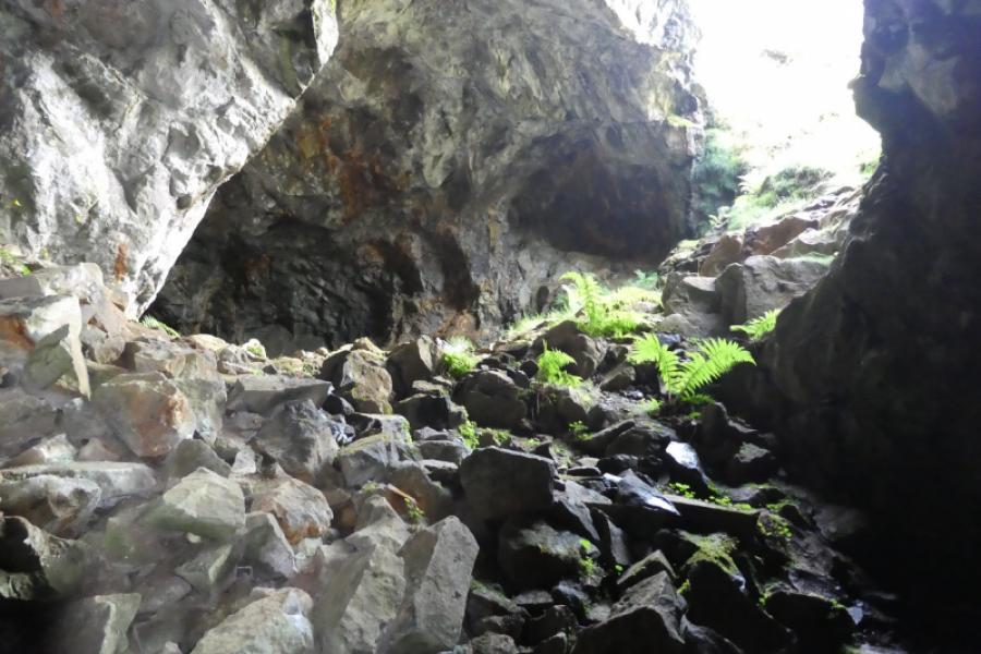
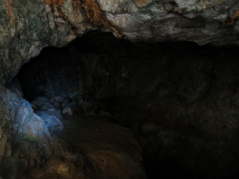
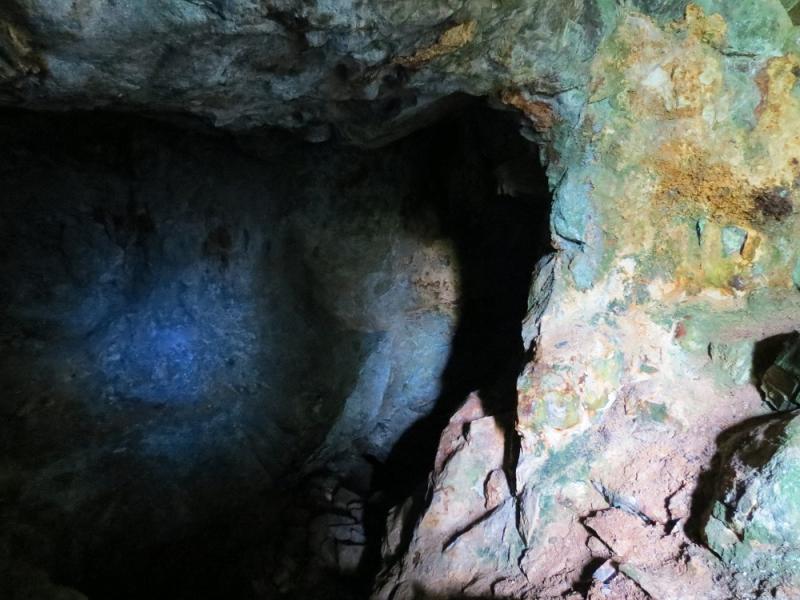
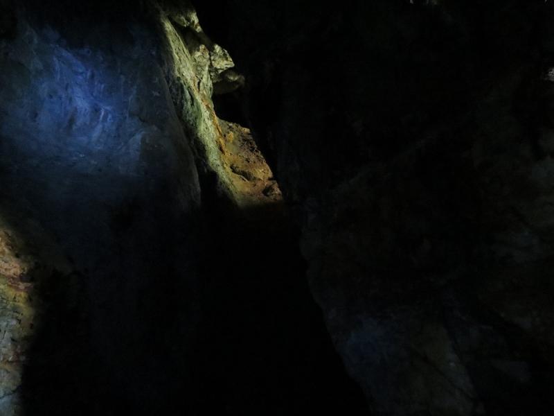
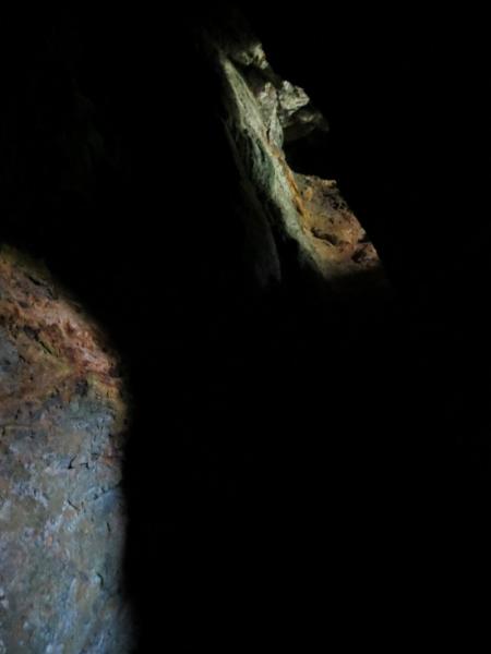
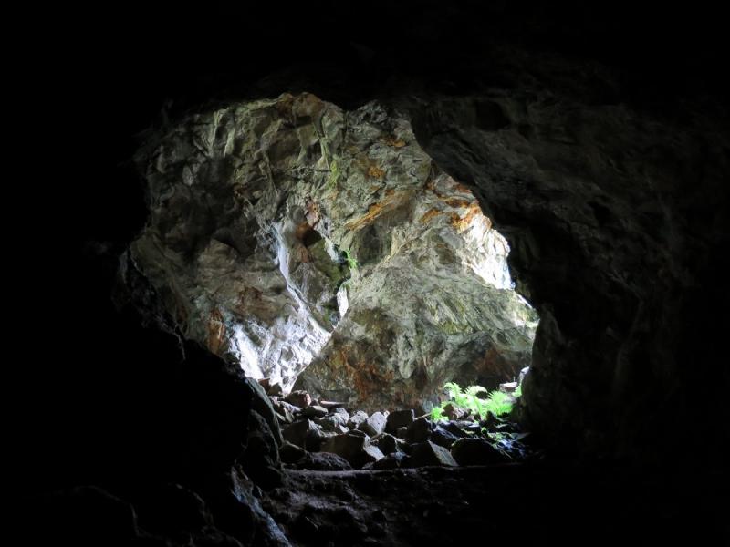
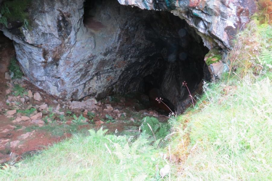
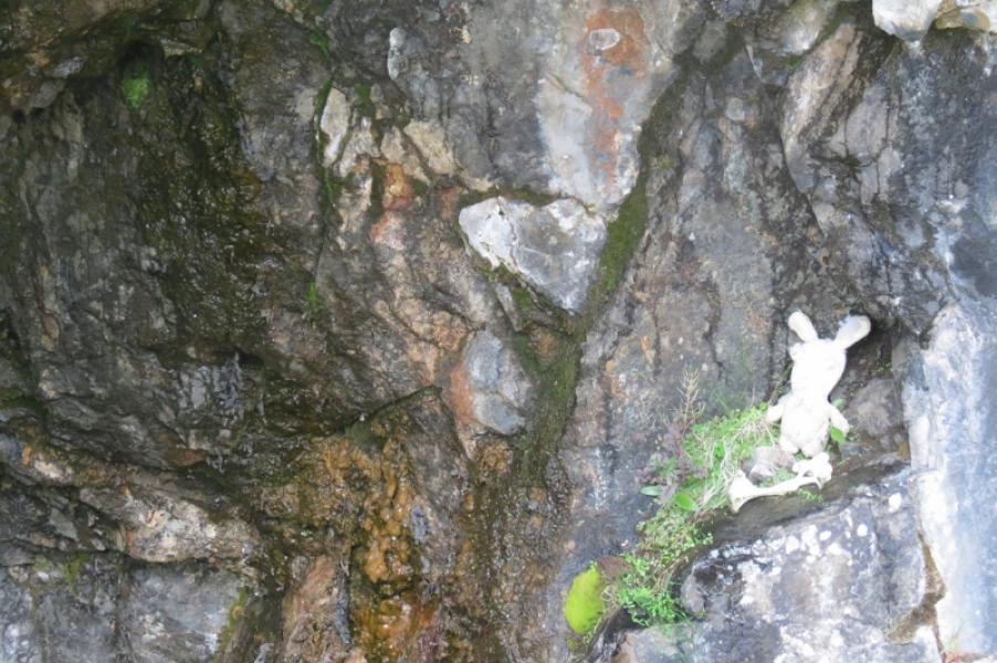
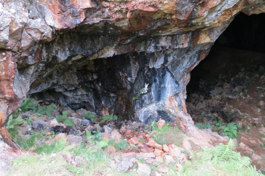
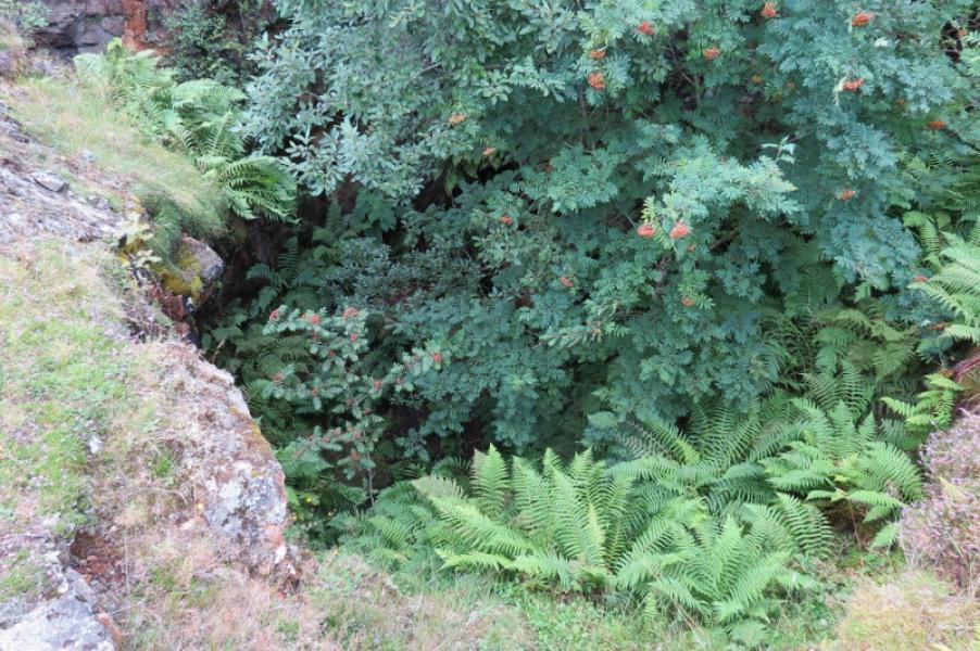
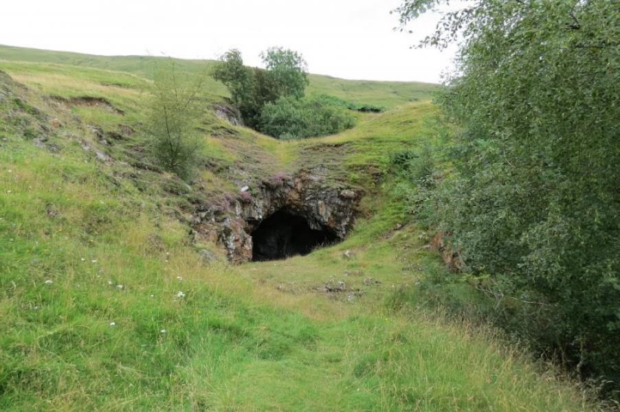
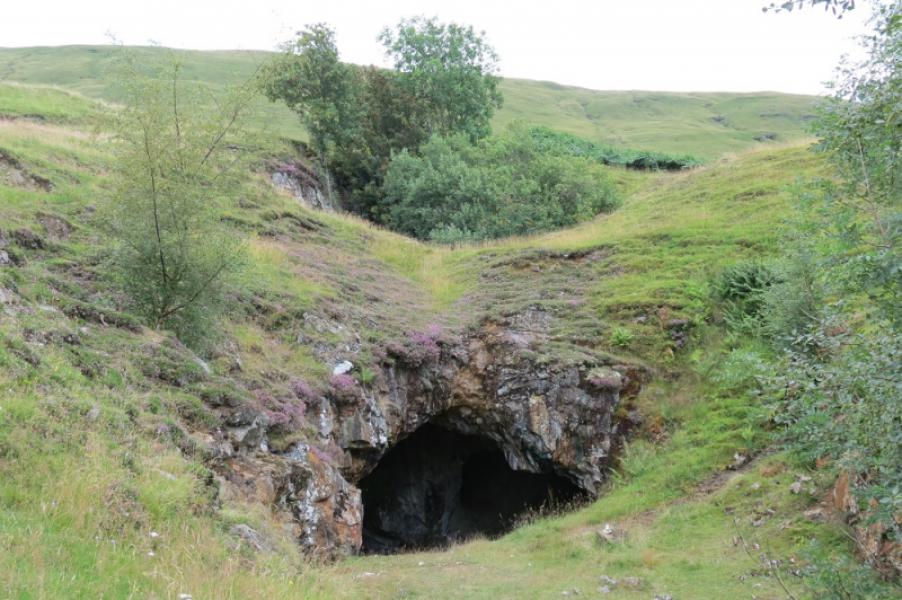
"And now for something completely different!” This is certainly not a mountaineering route with it being quite easy to reach the cave entrances. The lower cave featured in the film “Monty Python and the Holy Grail” as the lair of The Killer Rabbit of Caerbannog. The cave is an old, abandoned mine opened to commercially mine mainly ores of copper and gold. It turned out to be a commercial failure although copper ores are still visible in the rock. Care should be exercised when entering any cave or mine but it seems safe to go a little way into the lower cave. Be very wary of any water as this may disguise deep mining shafts. Powerful lights will be needed to go any distance and it may be almost suicidal to try and blunder around in the dark. The upper cave is very close but its sides are too steep to easily enter. It is more like a deep pot hole than a cave and has trees in it which block decent views in. It looks like there may be a tunnel from the lower cave to the upper one but this has not been explored and may be too dangerous to look for. The nature of the minerals in the rock seems to produce a blue colour in some of the photos when illuminated by both headtorches and camera flash.
Route
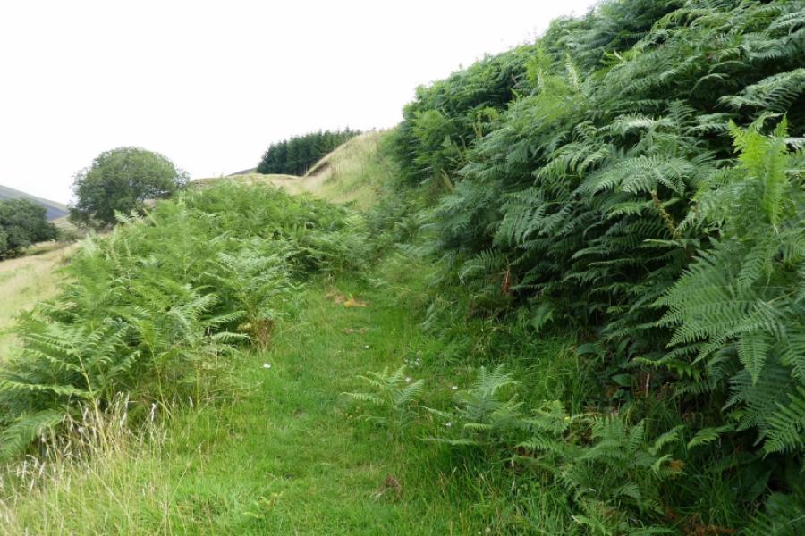
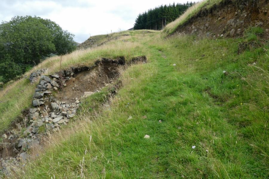
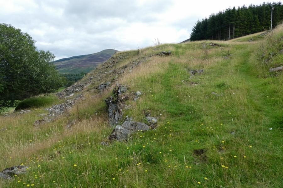
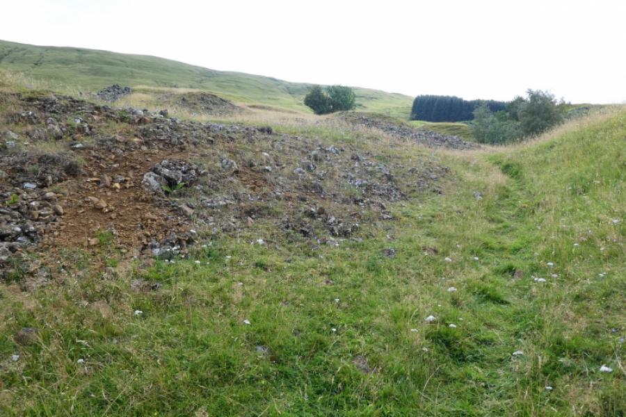
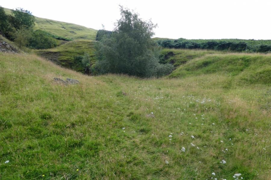
(1) From the easier NE gate, the sloping ramp of the mine access track should be visible and is reached by going diagonally right from the easier gate or slightly diagonally left from the SW gate. Follow the now grassy miners track for a short diatnce until it peters out then follow a faint path more directly uphill to reach the lower cave which has the trees of the upper cave immediately behind it. It is only about 10 minutes from the road. The upper cave (do not try to enter) is best reached by going up the left side from just below the lower cave. Bear in mind that there is what looks like “safe grass” by the upper cave but this is directly above the entrance of the lower cave and there is quite a drop onto hard rock. Keep children under close control here to avoid any serious accidents.
(2) Retrace down to the road after visiting the caves.
Notes
(a) This walk took place on 15th August, 2021.
Photos - Hover over photo for caption. Click on to enlarge. Click on again to reduce.