Get Lost Mountaineering
You are here: England » Yorkshire Dales » Central & Northern Areas
Little Fell, High Seat & Mallerstang Edge from Aisgill Cottages
Little Fell, High Seat & Mallerstang Edge from Aisgill Cottages
Start/Finish
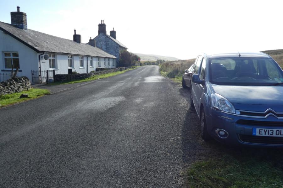
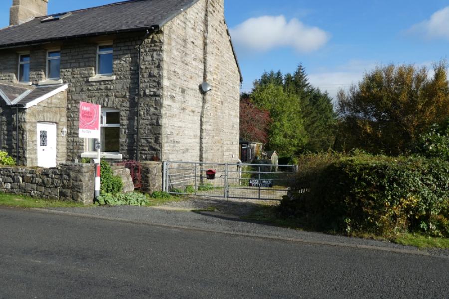
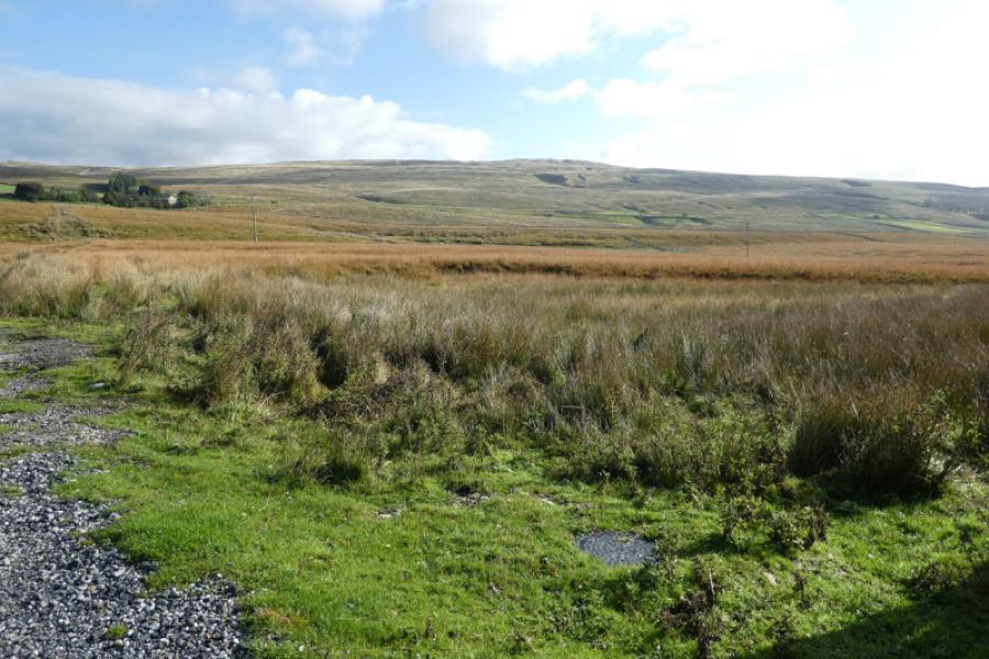
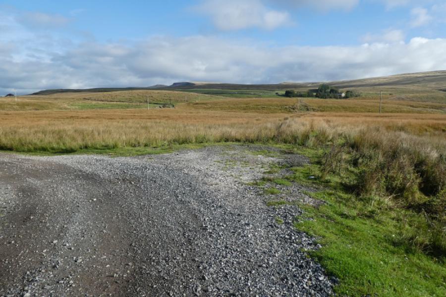
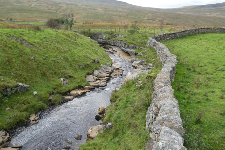
Aisgill Moor Cottages (postcode CA17 4JY) which are about 7.5 miles south of Kirkby Stephen, on the B6259, and about 2.5 miles north of the Moorcock Inn where the B6259 meets the A684 near Garsdale Head. There is a small layby opposite the northern end of the cottages. If full, you will just have to look around but it may be possible to park down the bridleway just to the south of the cottages. Whichever direction you approach from, you will pass under a viaduct carrying the famous Settle to Carlisle line.
Distance/Time
15 km. About 5 – 6 hours.
Peaks
Little Fell, 667 m, SD 808 971.
Hugh Seat, 689 m, SD 809 991.
Gregory Chapel, 695 m, NY 802 003.
High Seat, 709 m, NY 802 013. OL19 Howgill Fells & Upper Eden Valley
Introduction
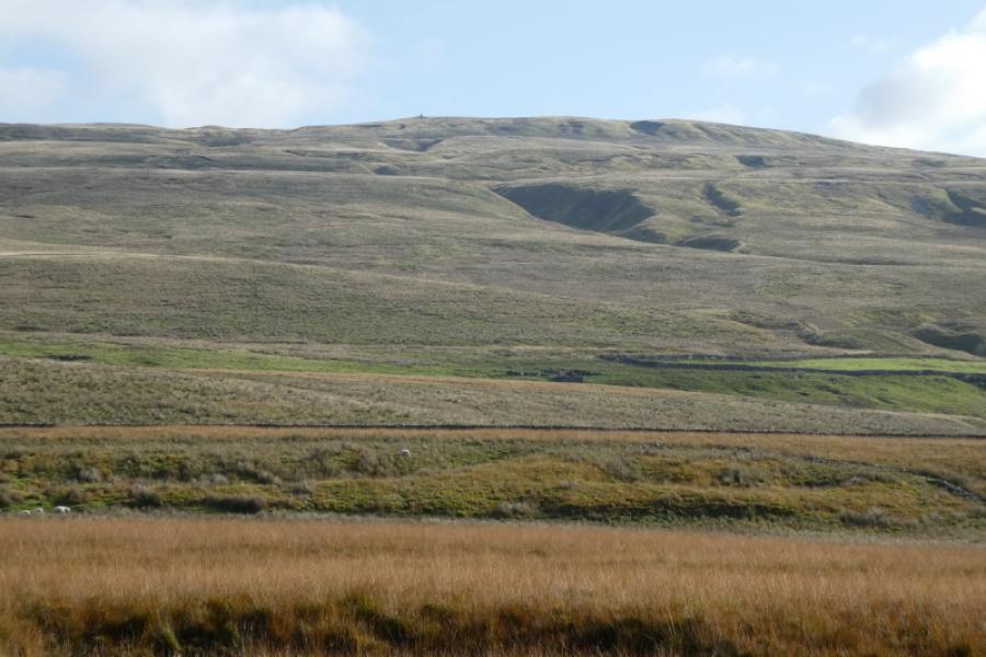
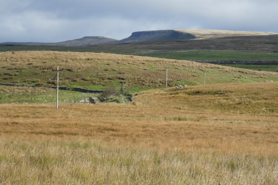
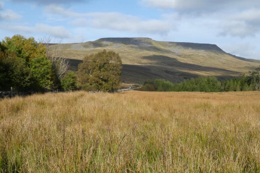
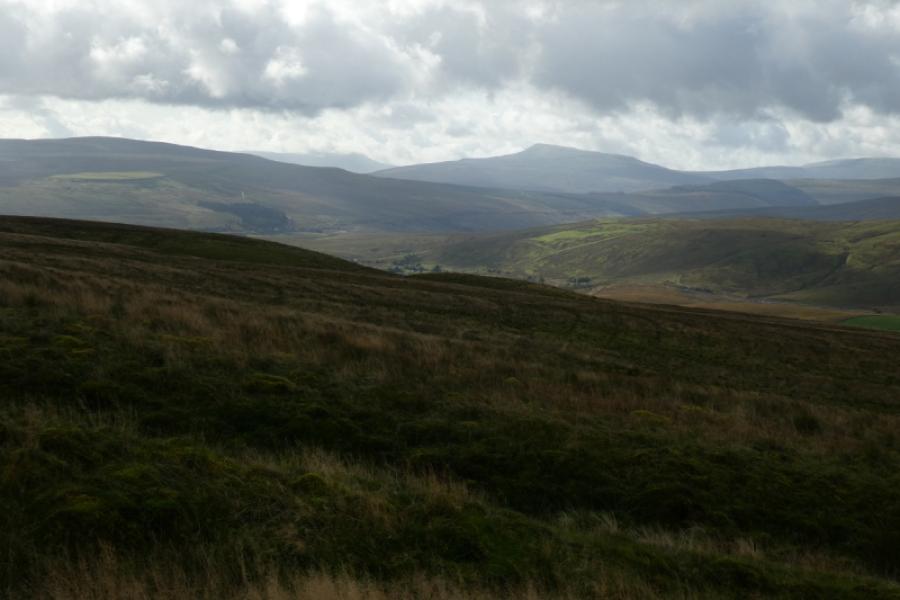
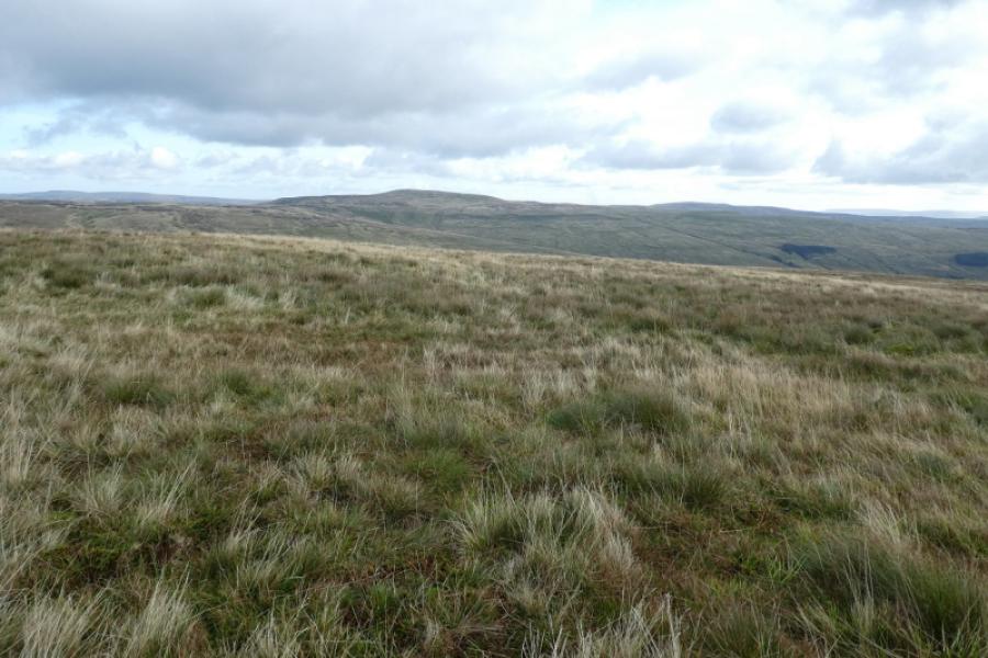
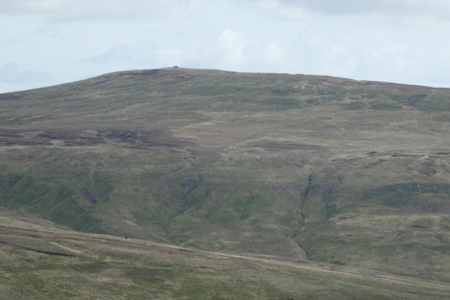
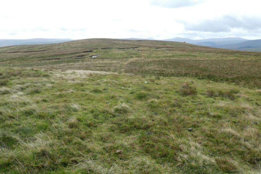
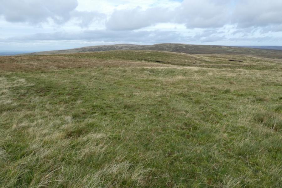
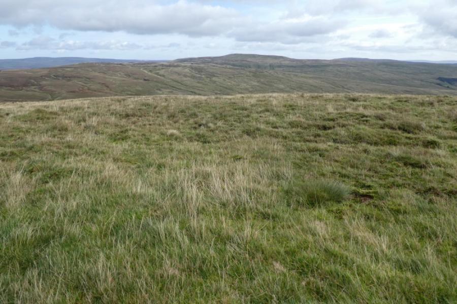
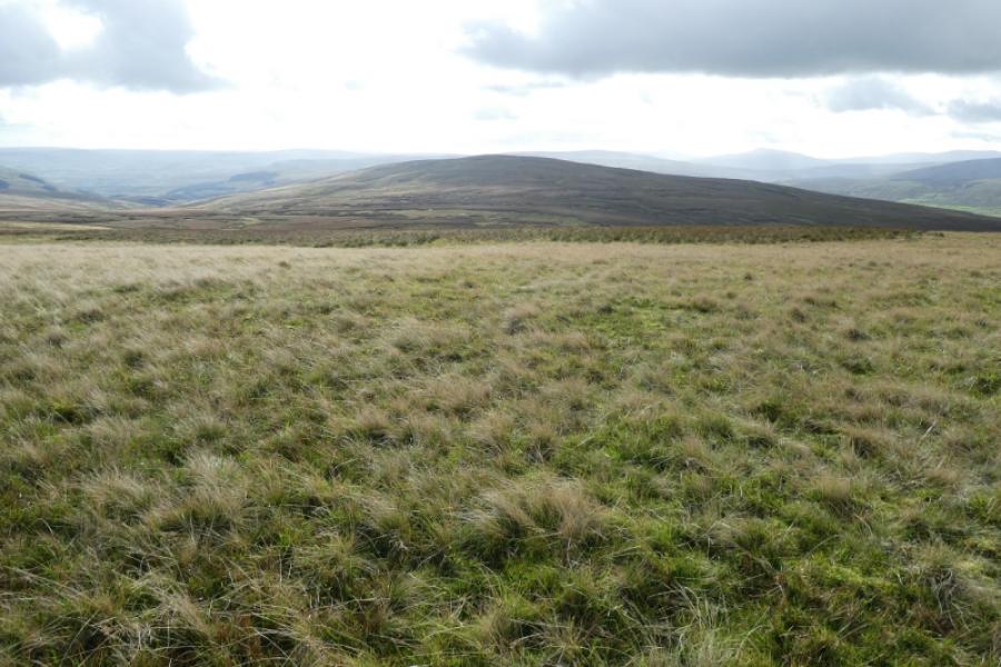
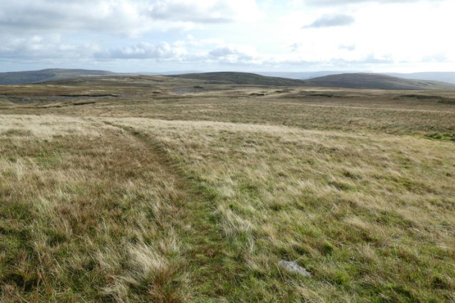
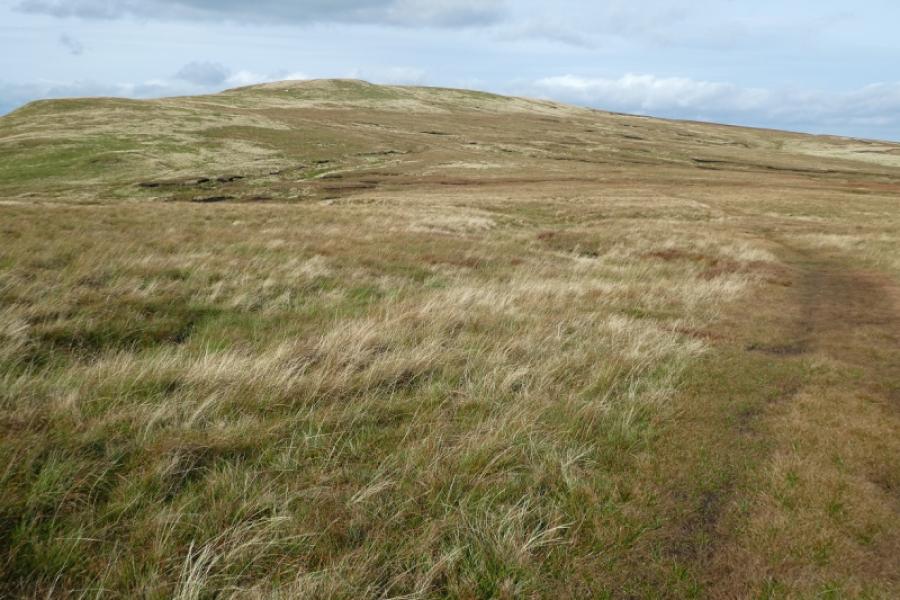
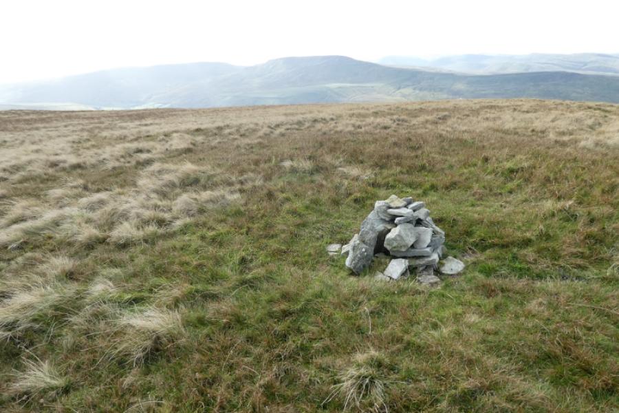
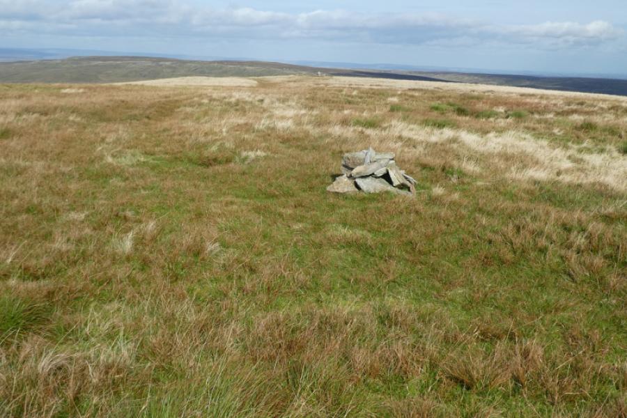
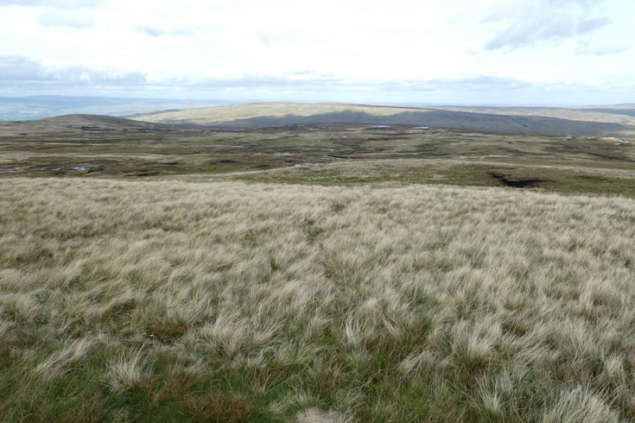
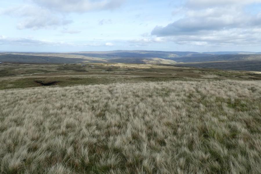
The Mallerstang valley connects the A684 and A685, roughly between Garsdale Head and Kirkby Stephen. On its western side are Swarth Fell and Wild Boar Fell whilst the Mallerstang Edge including Little Fell, Hugh Seat, Gregory Chapel and High Seat are on the eastern side. The Settle to Carlisle line crosses the valley road twice. The walking would generally be fairly easy if there were no bogs, often mossy bogs in the cols with the col between Little Fell and Hugh Seat being the worst. The views are excellent on a clear day. Wild Boar Fell being very close and Great Shunner Fell not far to the east as all these tops are actually subsidiary summits of Great Shunner Fell. High Seat is, in fact, the fourth highest summit in the Yorkshire Dales but sees very few visitors. In very clear weather, it is possible to see Pen-y-Ghent, Ingleborough, Whernside and Great Coum in the same view. There are lots of cairns on the crest but, surprisingly, the highest points are not always obvious. Hugh Seat has no cairn on its summit, Gregory Chapel has a tiny cairn which may or may not be the highest point and High Seat has 4 cairns of which 2 seem equal contenders for the highest point. Given the nature of the ground, this walk needs a good, clear day.
Route
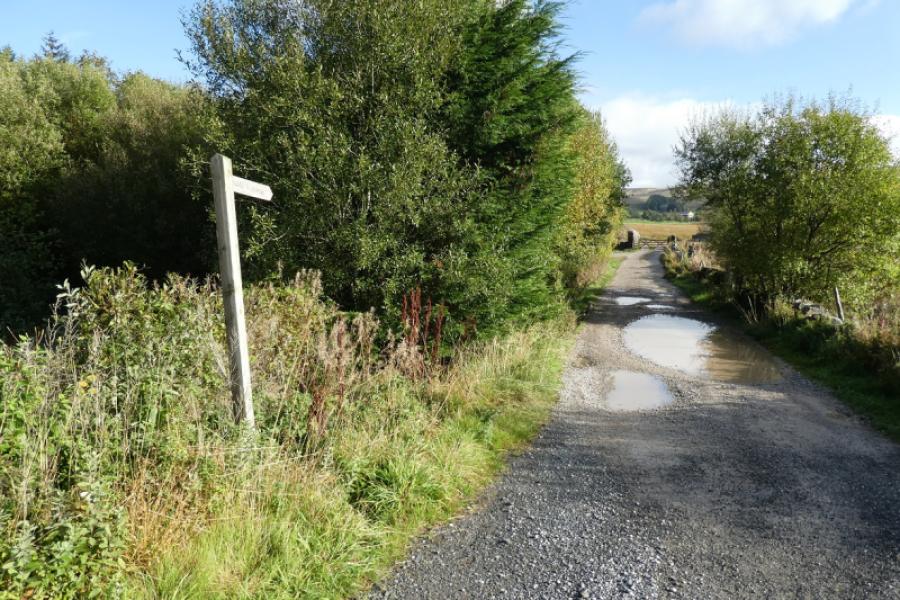
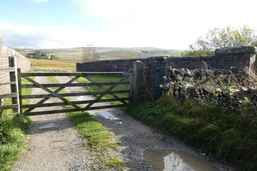
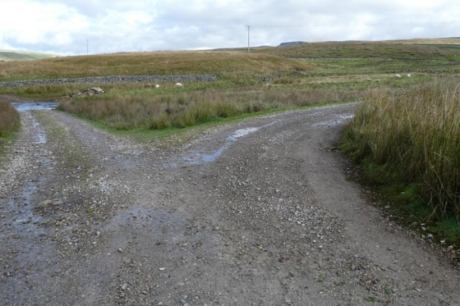
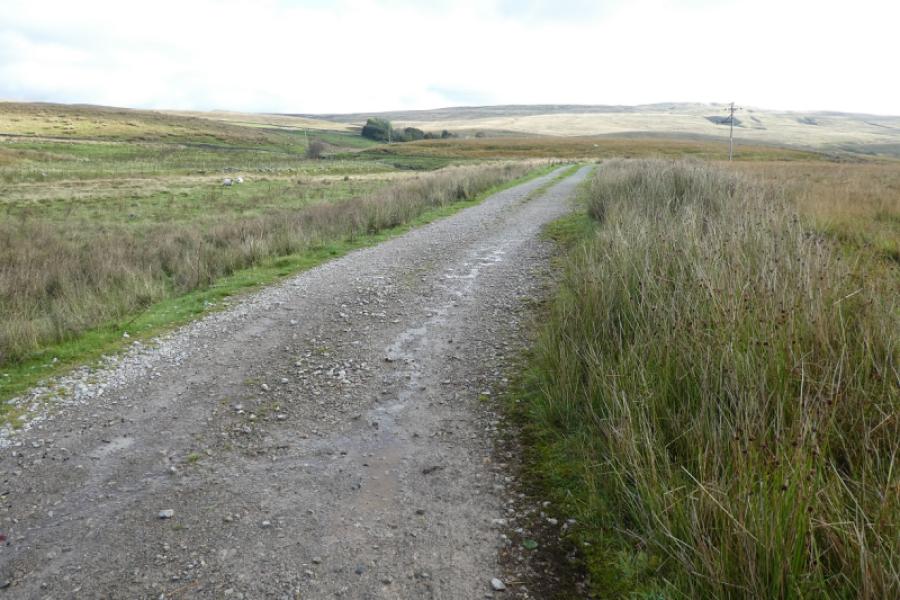
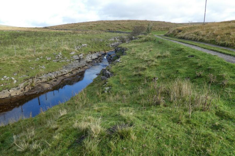
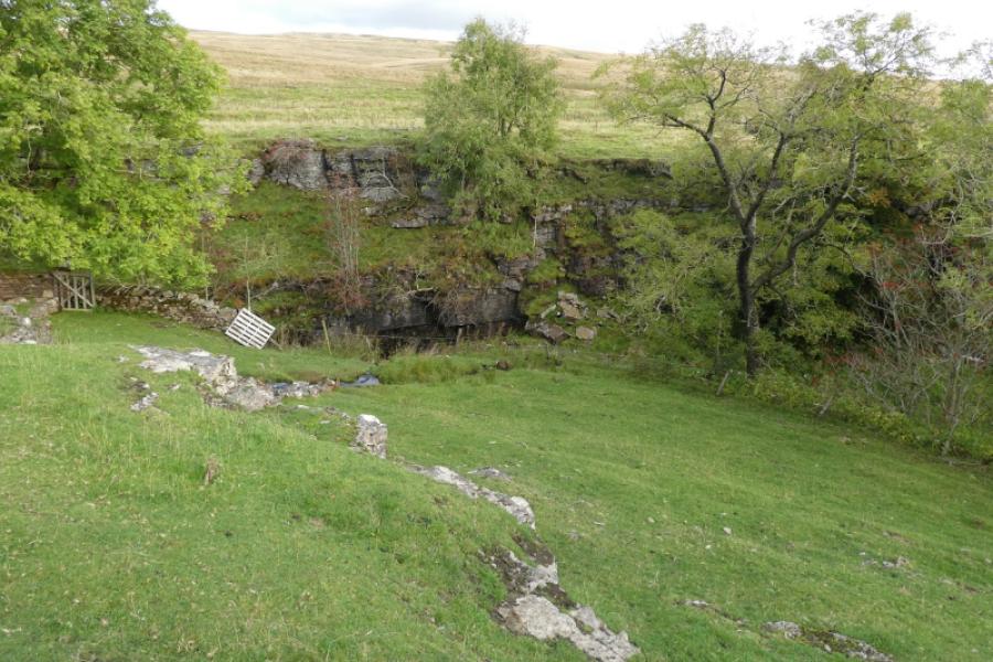
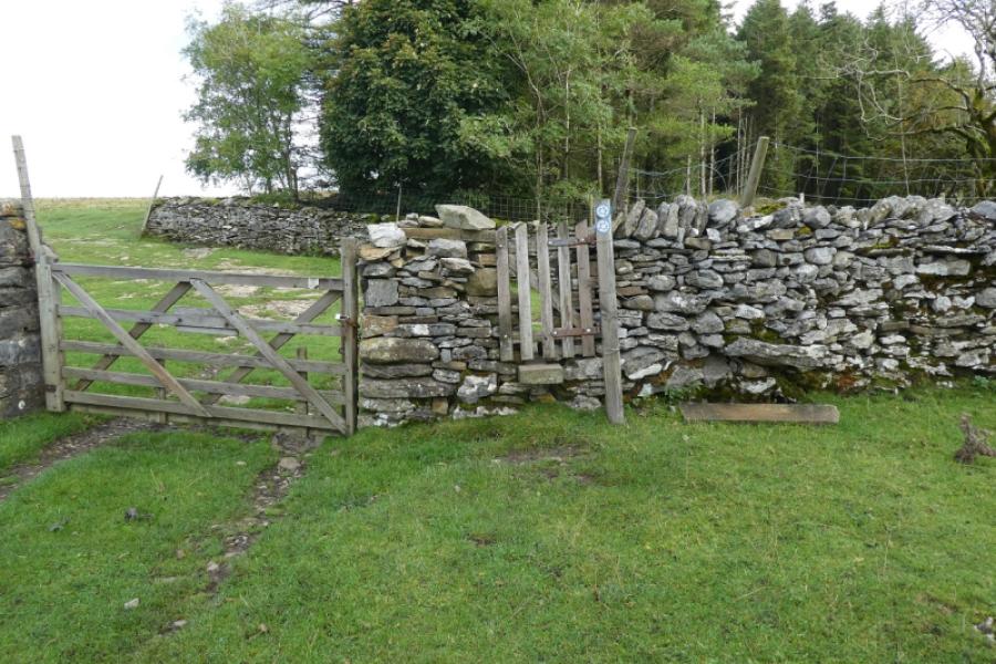
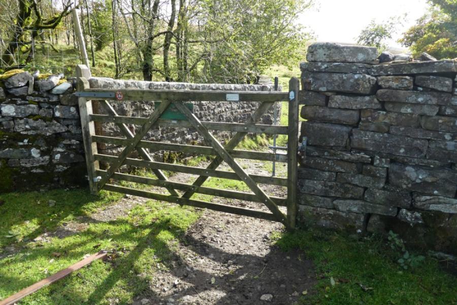
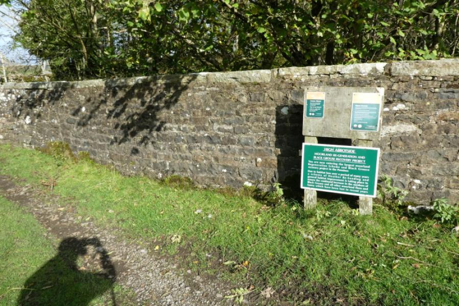
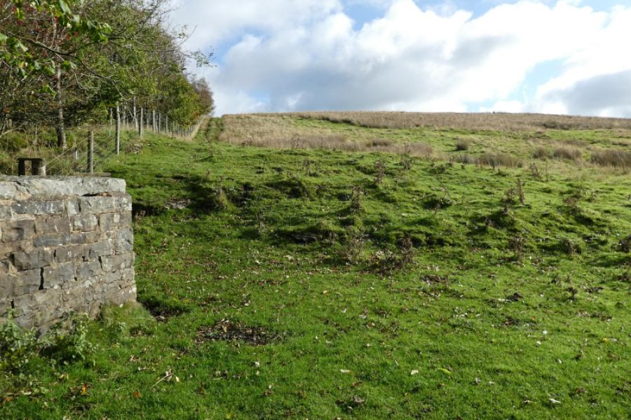
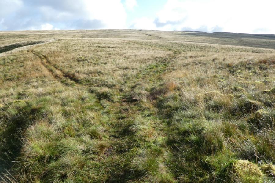
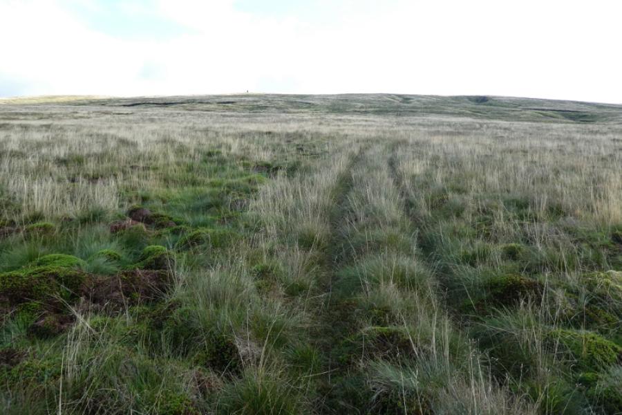
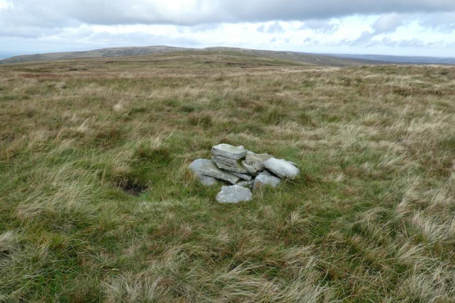
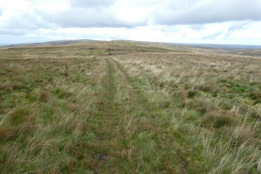
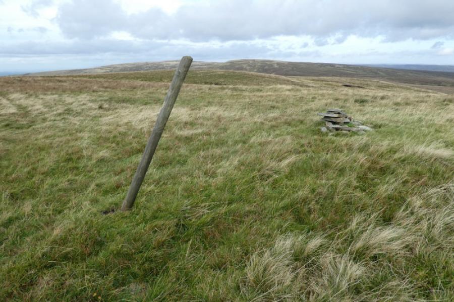
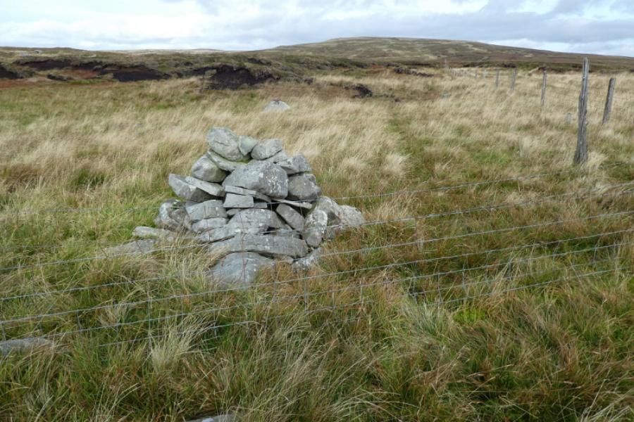
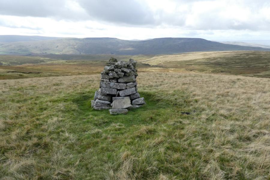
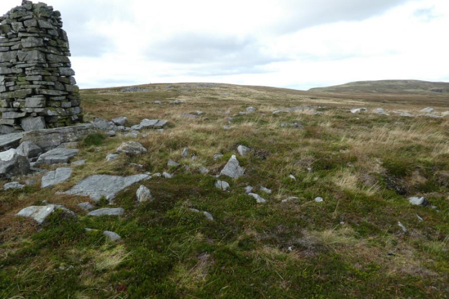
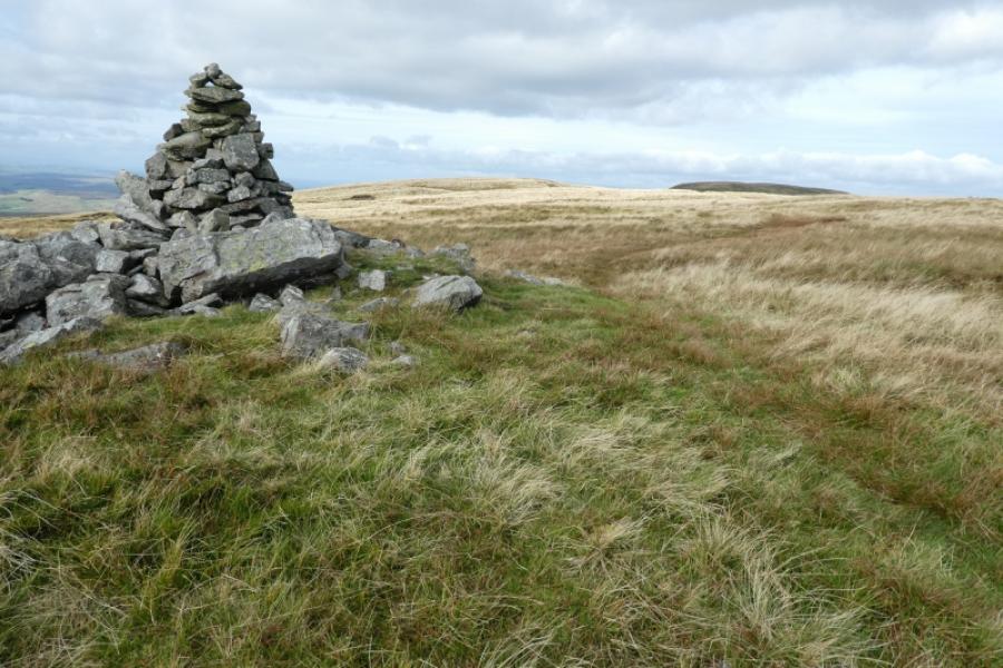
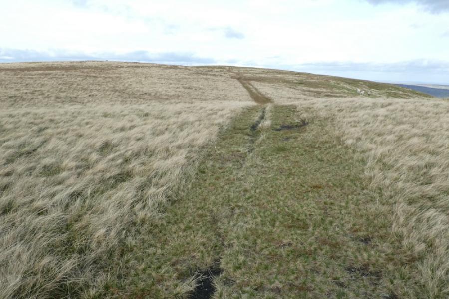
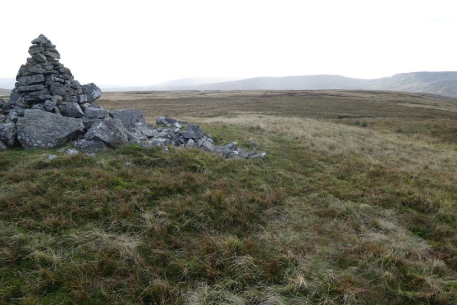
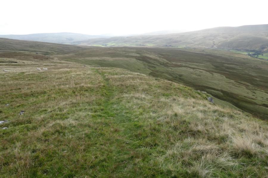
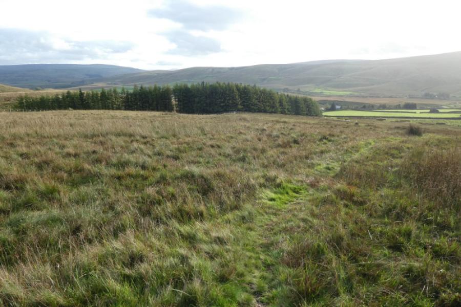
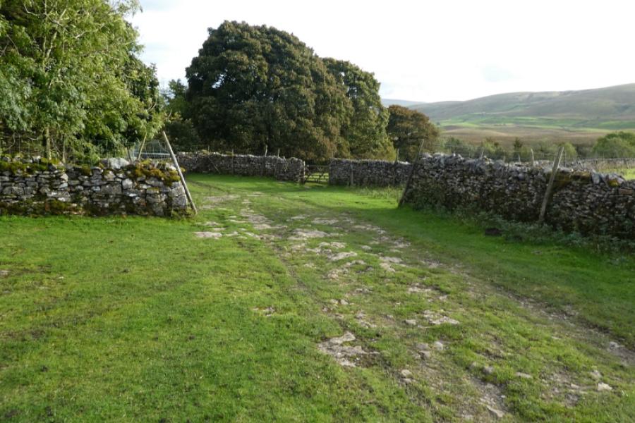
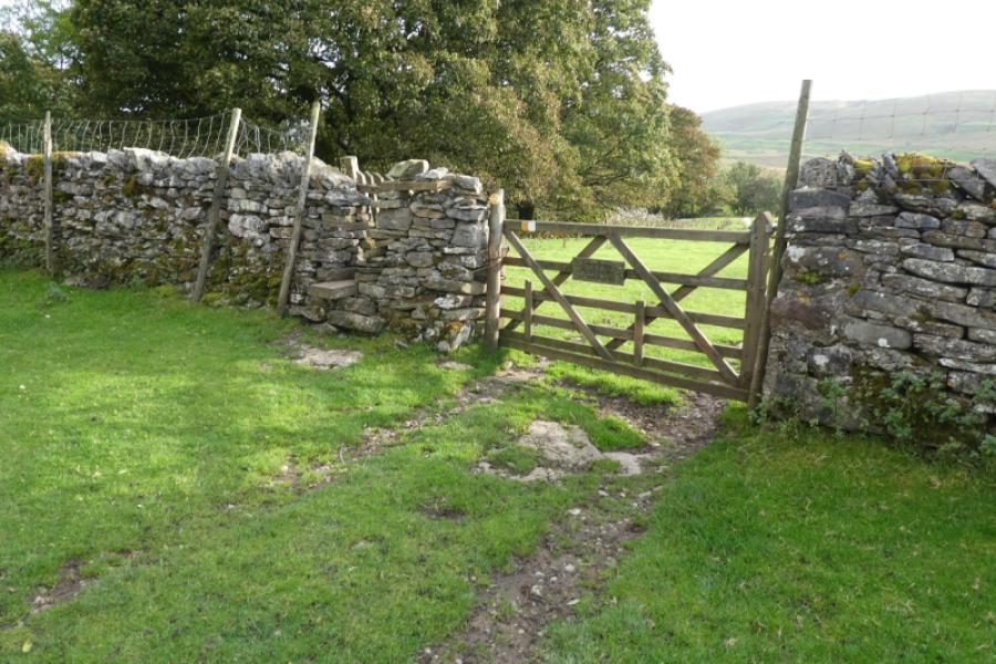
(1) Walk to the south end of Aisgill Moor Cottages then take the track, left, signed as a bridleway. This soon crosses the railway then goes left. Follow the track until it splits about 100 m before a ford and turn right. Follow the track, close to Hell Gill Beck, to reach Hellgill, an old farm house being renovated in 2021. Go past the house and walk up the field with the beck now on your right with cliffs on its far side. Go through the small sprung gate and join the Pennine Bridleway. Turn right, cross the bridge then turn left and go up the side of the wood on a grassy track. In clear weather, you may be able to see two cairns, high up and roughly straight ahead. You are aiming for the left hand cairn. After the wood is passed, the track splits with the main track going left to follow a fence; go straight ahead on the minor track. Follow the grassy track. It is very faint in places and may be lost a few times but the route is generally straight so go straight on if the track is lost. Reach a cross track roughly level with the left hand cairn, the other cairn is higher and off to the right. Follow the cross track right, south. It is wet and boggy in places but leave it when you are below the dip to the left of the cairn. Pick a way up to the dip then over to the cairn which is actually 2 cairns, little and large. Walk uphill from the large cairn and soon reach a tiny cairn which is the south top of Little Fell and only a metre lower. Just beyond the tiny cairn is a grassy track which goes left, north, over a minor top before reaching a slightly larger cairn which is the summit of Little Fell, 667 m. It is not well named on the map!
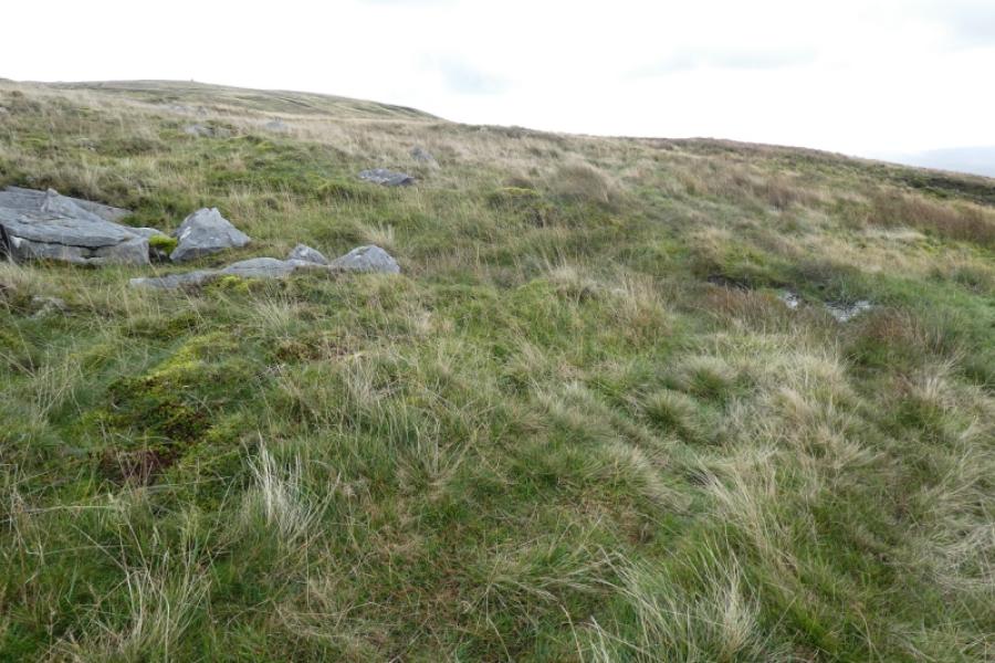
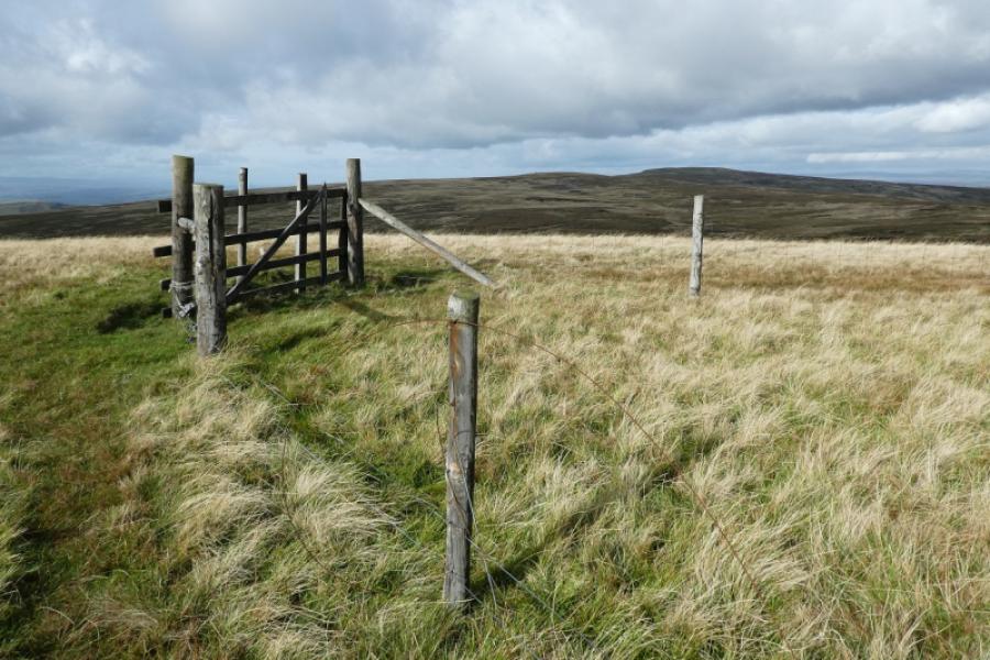
(2) Continue on the grassy track and descend into a col. Reach a cairn across a low fence with a path after it; the track seems to go further to the right. Be careful from here on as it is quite boggy with moss which could easily swallow up a person. Follow the fence on your right, crossing it when better ground is needed. Reach a similar cairn almost at the end of the col. Try to find the track again, off to the right, and follow it uphill. The going improves once the col is left behind. When the gradient eases, reach a fence corner with a gate in it. This seems to be the highest point on Hugh Seat, 689 m, as there is no summit cairn. Slightly lower to the west is a pillar cairn called Lady's Pillar.
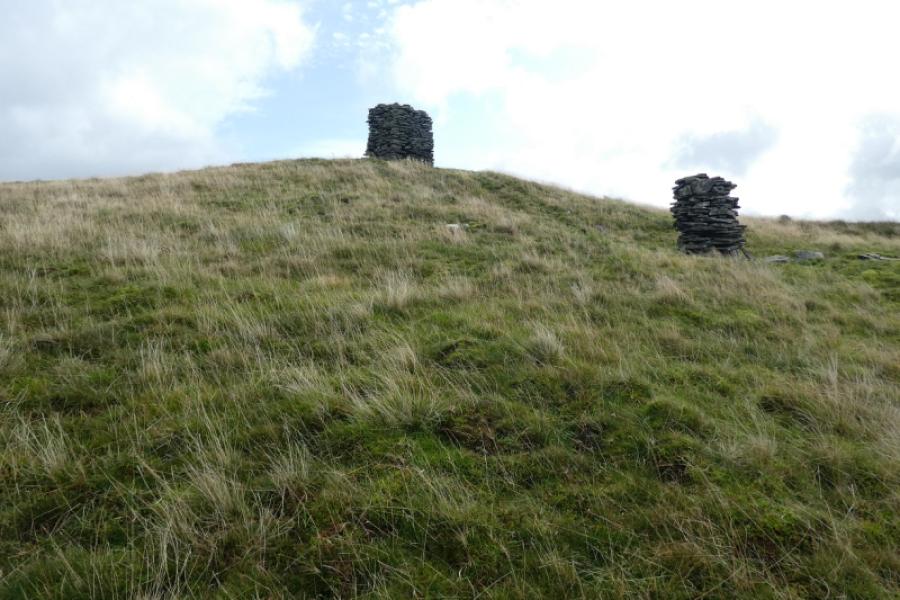
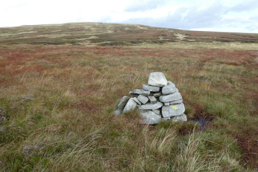
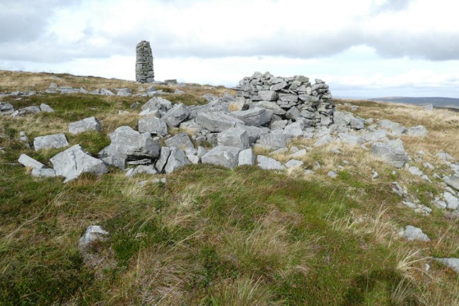
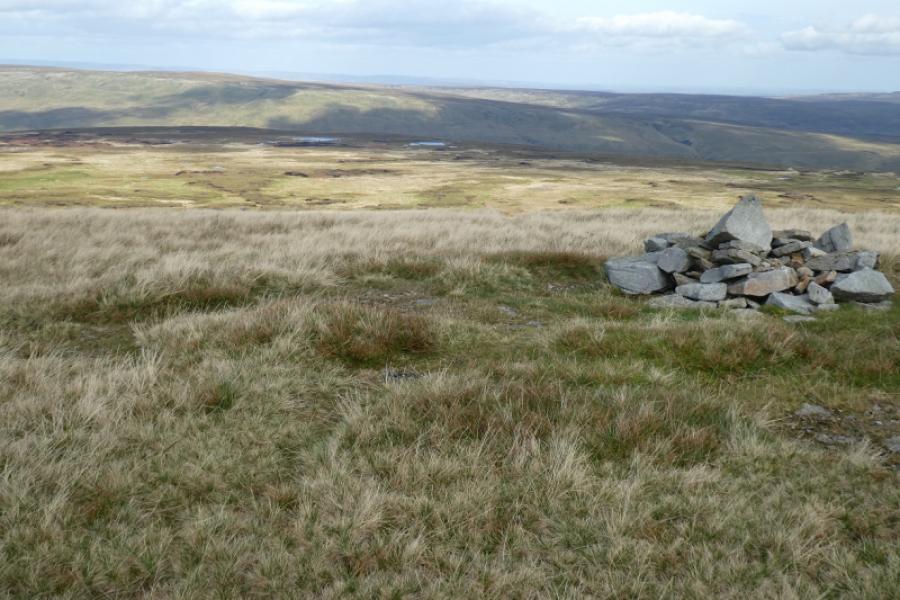
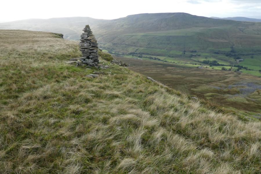
(3) There are two alternatives from here. Either drop down on a faint path to lower ground then pick a way across it, drifting right from the lowest point and aiming for a tall beacon or go back to the summit and follow the fence then the crest to the beacon. There is a shelter cairn just before the beacon, the only shelter cairn on the crest. Continue up after the beacon to reach a large pointed cairn with a track coming in from the left (the edge). This cairn is not the summit so continue north a short distance to find a tiny cairn just off to the right of the track which seems to be the highest point on Gregory Chapel, 695 m. By the way, there is no chapel! It may look like the ground further ahead, to the left of the track, is higher but no obvious cairn could be found.
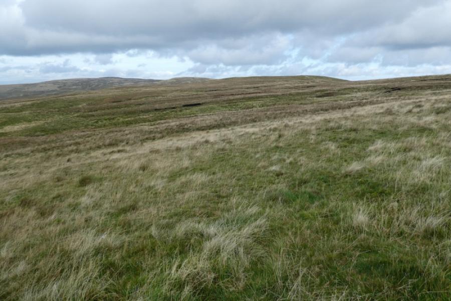
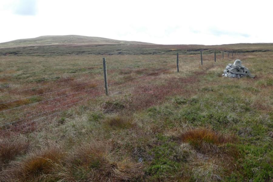
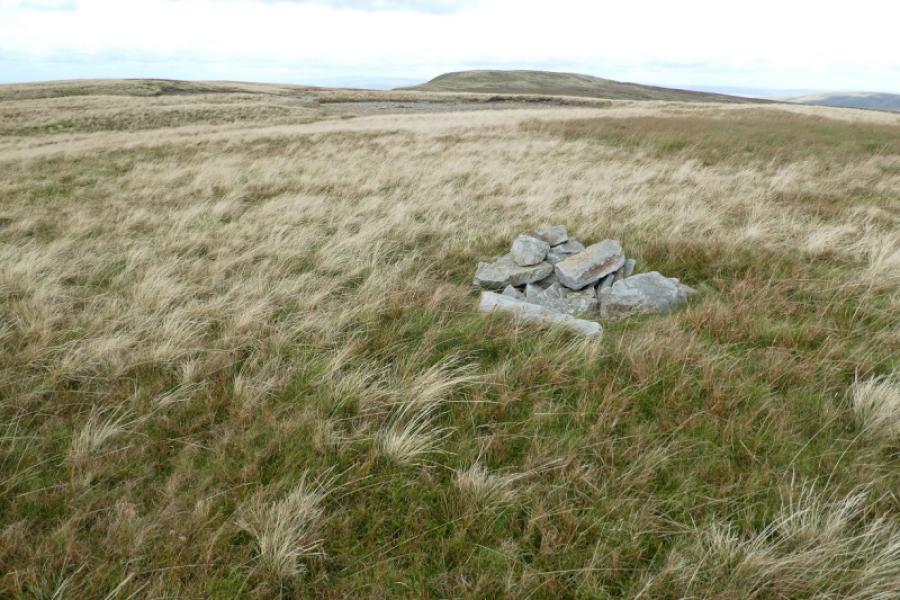
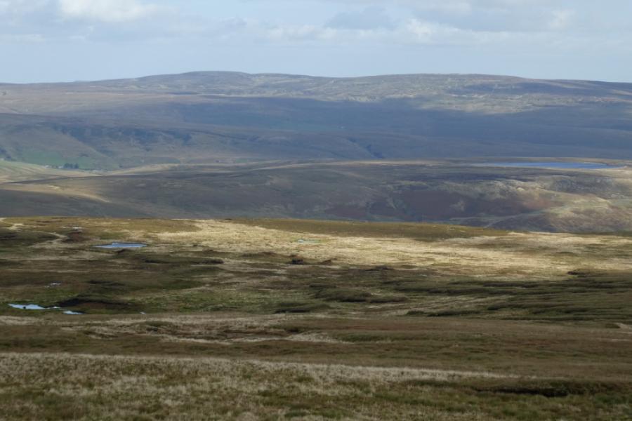
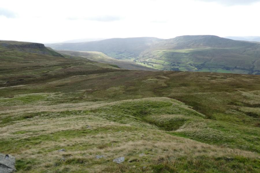
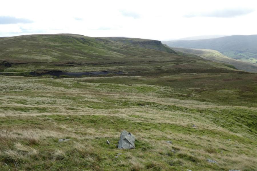
(4) Continue on the track, descending into a col then following a curving track up to the fairly level plateau of High Seat where there are 4 cairns. The first is at the start of the plateau and is clearly not the summit. The next two are very close in height and one, or both, is/are the summit of High Seat, 709 m. It is difficult to tell, on the ground which is the higher but my money is on the second of the two. A fourth cairn, further north is obviously lower but the largest of all the 4 cairns! The lake which can be seen looking east is Birkdale Tarn. Nine Standards Rigg is NNE but the nine standards (cairns) cannot be seen from here as they are slightly down the northern flank.
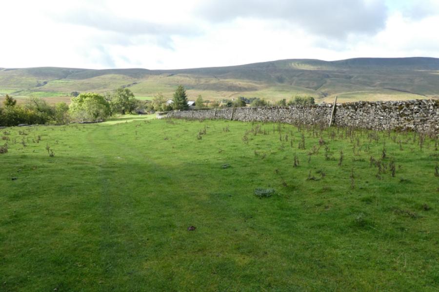
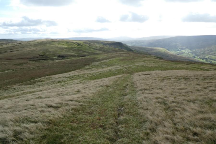
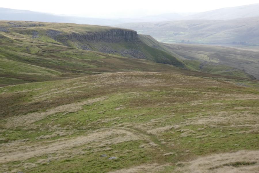
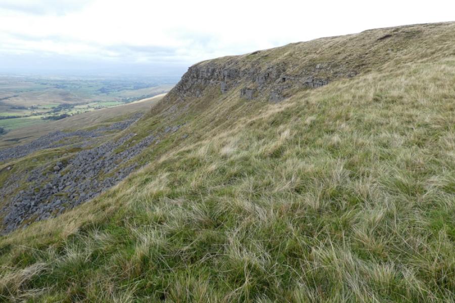
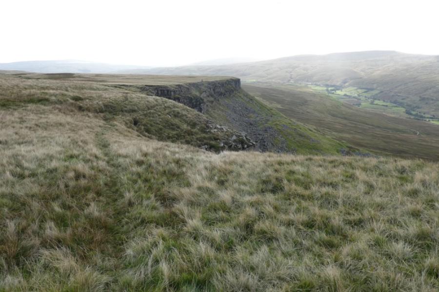
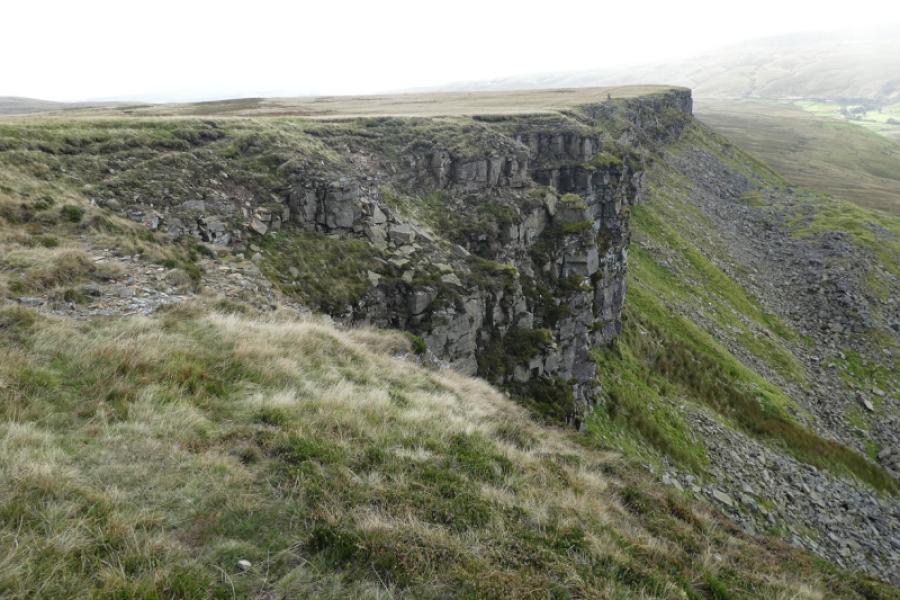
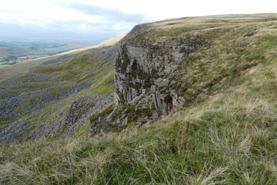
(5) Retrace back to the large cairn on Gregory Chapel then fork right onto the grassy track which soon follows the Mallerstang Edge giving good views of some of the cliffs. There are paths closer to the edge but be careful as the rock is very loose. Follow the track down, passing a beacon cairn. After the cliffs run out, there is a sort of shelter wall/cairn on the right where the track goes left round a very minor mound. Continue on the track. The wood, walked past earlier above Hellgill, should soon be very obvious and the track leads to its right hand corner where the Pennine Bridleway is met. Go left and, almost immediately, go through the small gate to walk down the field back to the house at Hellgill then retrace back to the start along the outward track.
Notes
(a) This walk took place on 10th October, 2021.
Photos - Hover over photo for caption. Click on to enlarge. Click on again to reduce.