Get Lost Mountaineering
You are here: England » Yorkshire Dales » Central & Northern Areas
Water Crag & Rogan's Seat via William Gill from Arkengarthdale
Water Crag & Rogan's Seat via William Gill from Arkengarthdale
Start/Finish
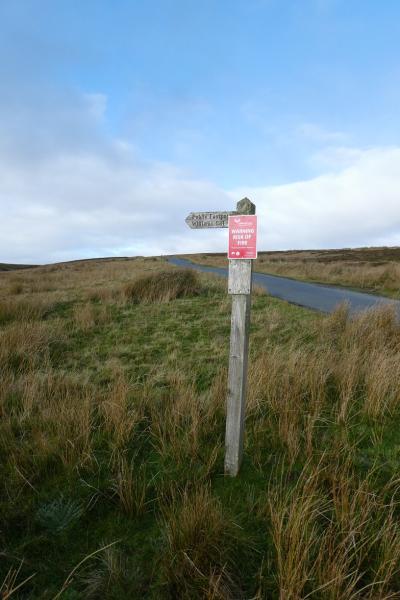
The foot of William Gill (signpost) which is about 2.5 miles east of the Tan Hill Inn (postcode DL11 6ED) down the Arkengarthdale road towards Langthwaite and Reeth. The Tan Hill Inn can be approached from the A66 (South Stainmore turning), Keld or up Arkengarthdale from Reeth. There is very limited parking at the start of the track up William Gill but verge parking is available not too far away but check the verges are firm enough!
Distance/Time
13 km. About 4 – 5 hours.
Peaks
Water Crag (rocks), c 645 m, NY 921 044 (approx)
Rogan's Seat, 672 m, NY 920 031.
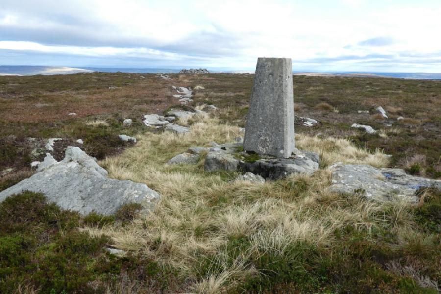
Water Crag Trig Point, 668 m, NY 928 046.
OL30 Yorkshire Dales: Northern & Central Areas.
Introduction
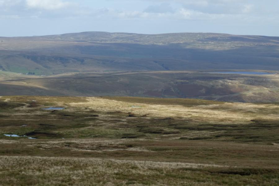
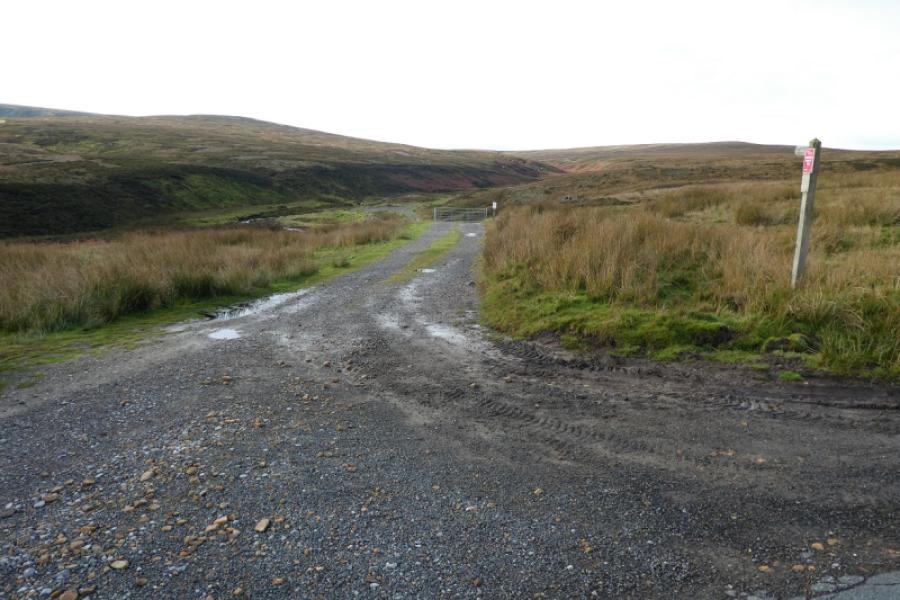
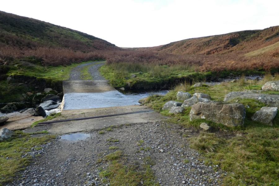
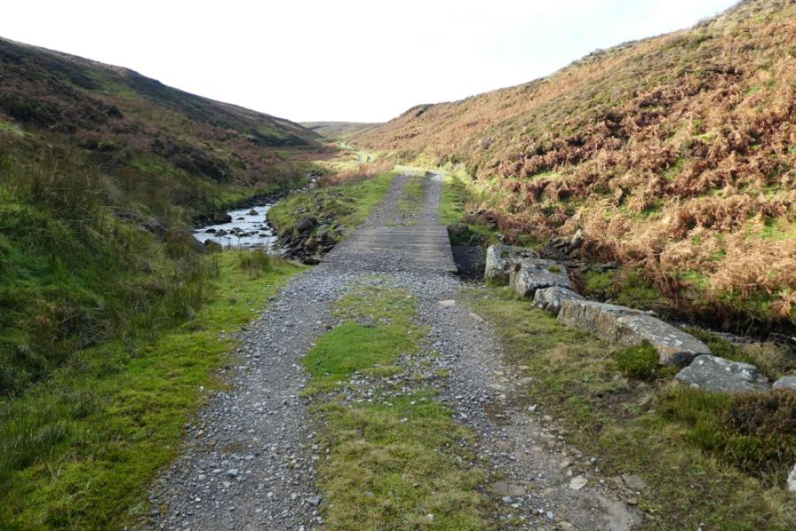
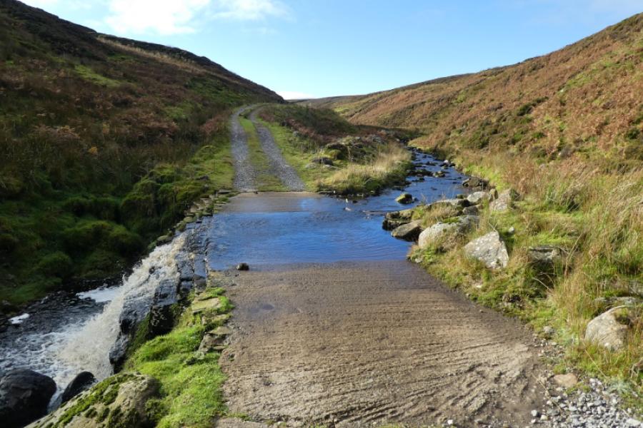
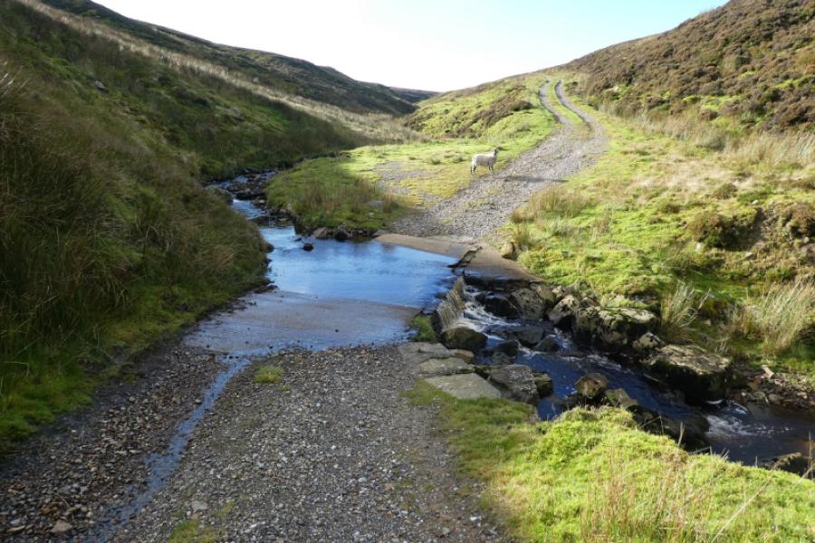
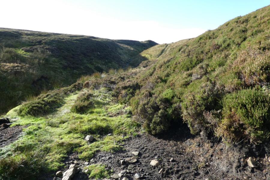
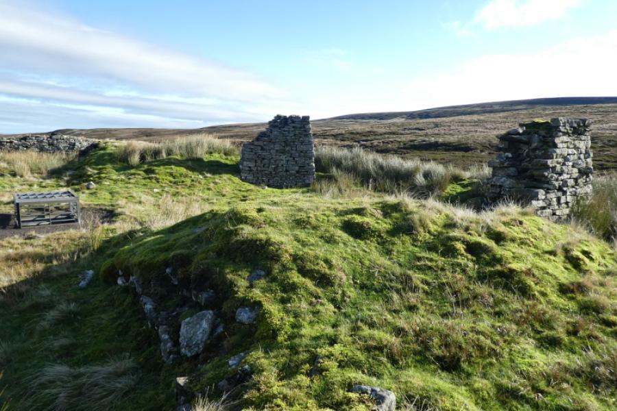
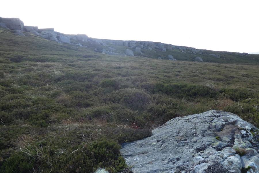
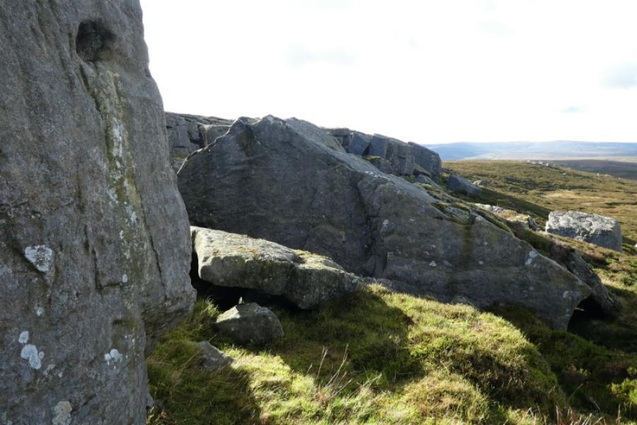
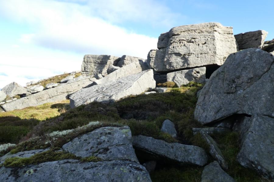
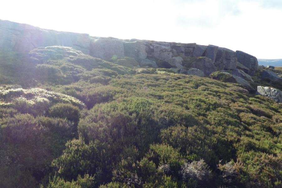
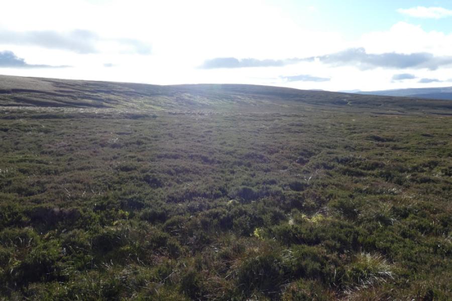
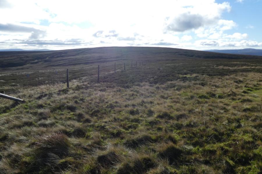
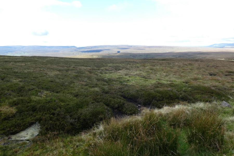
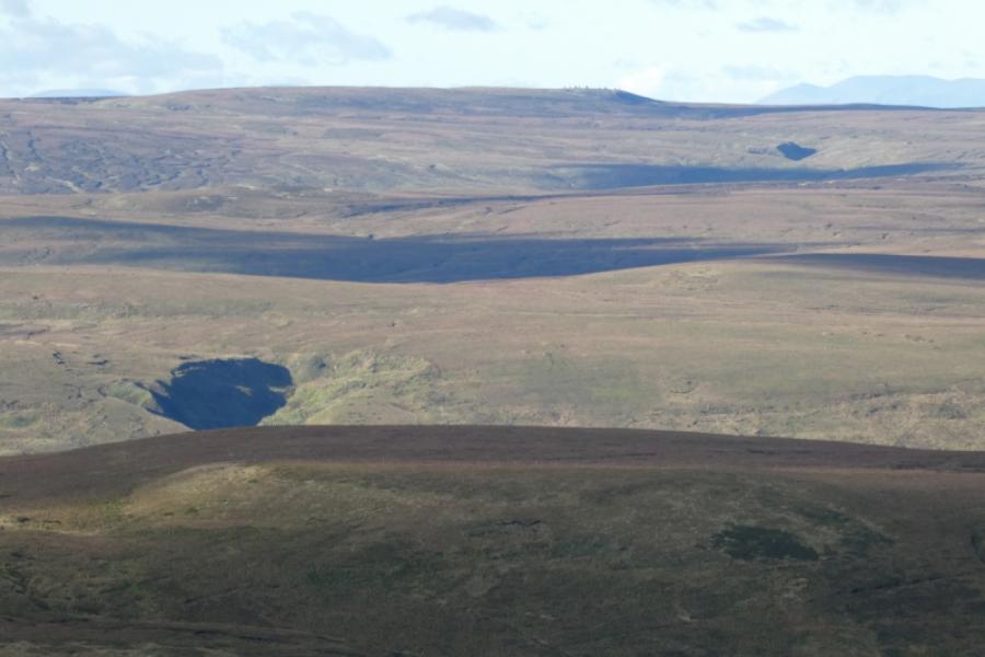
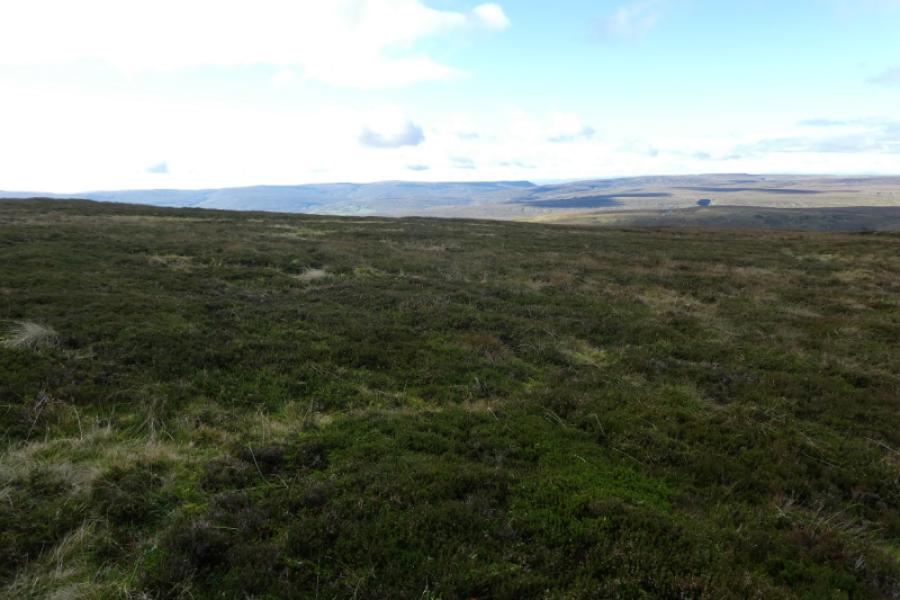
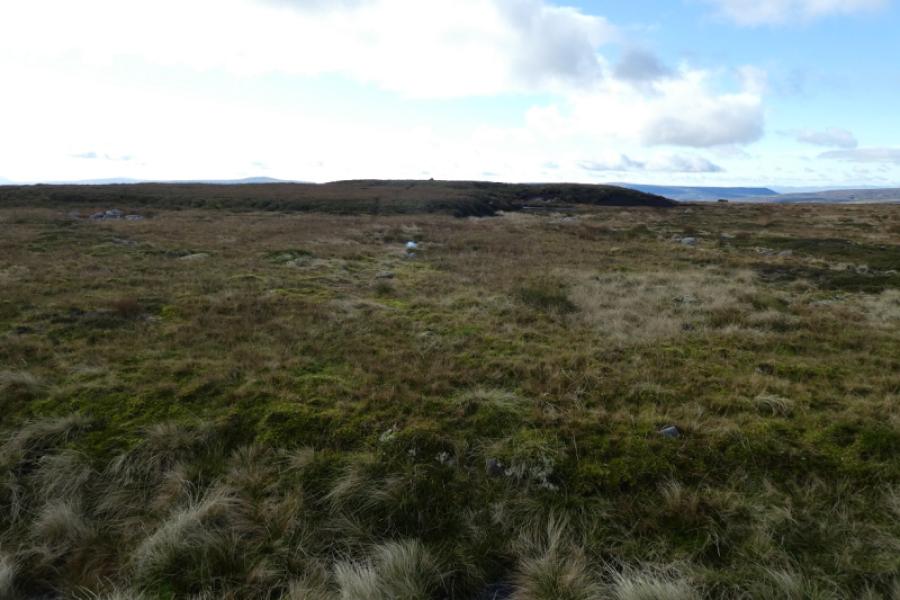
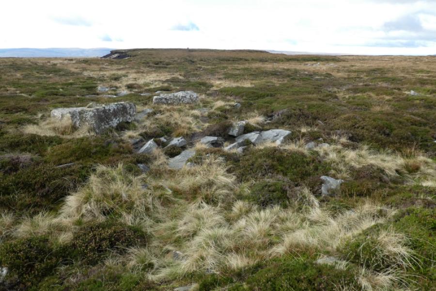
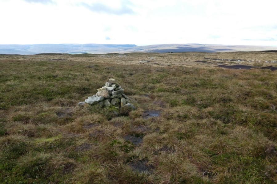
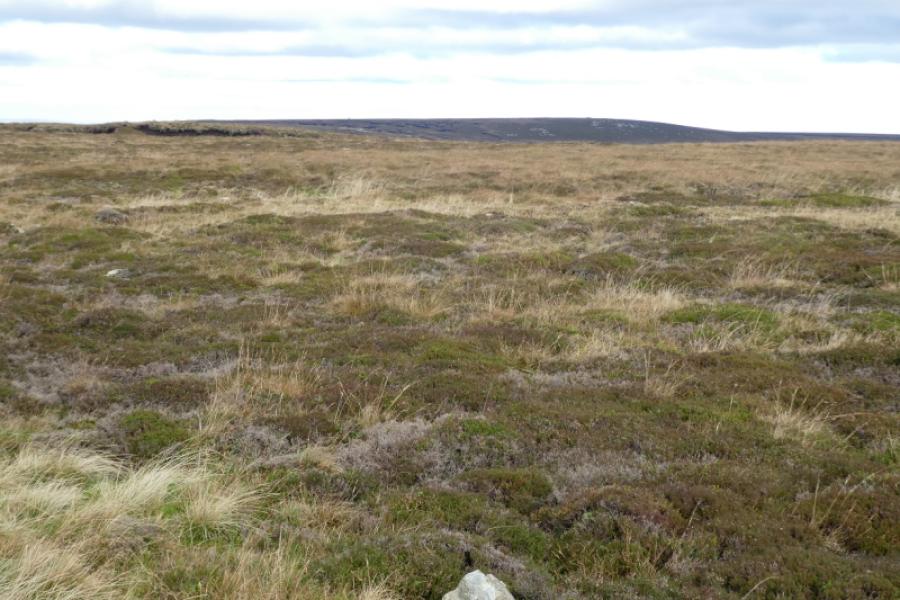
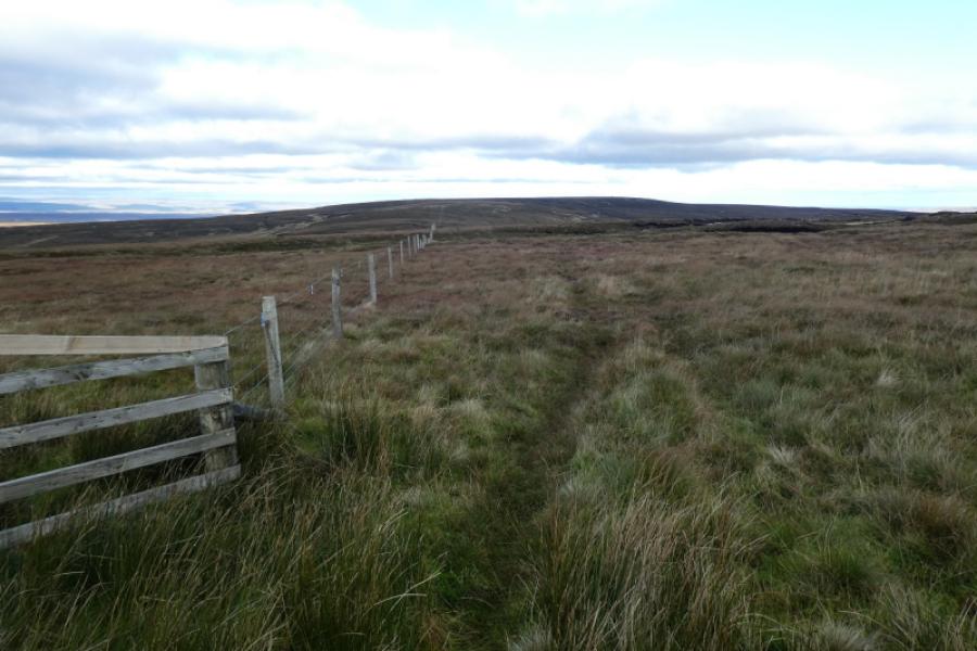
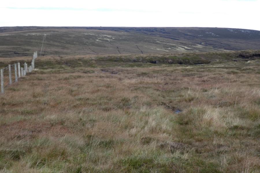
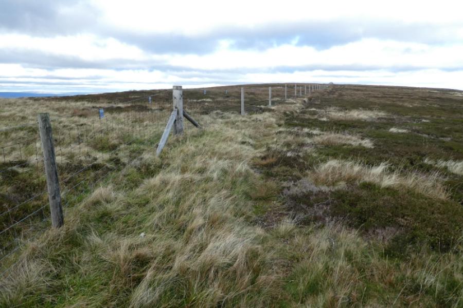
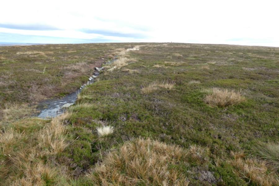
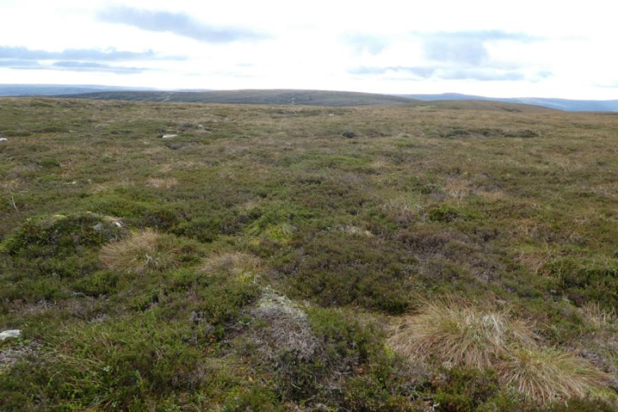
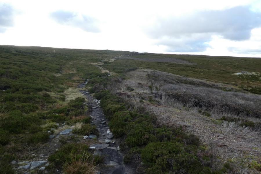
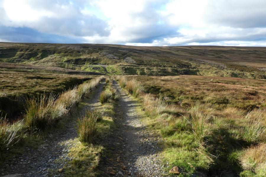
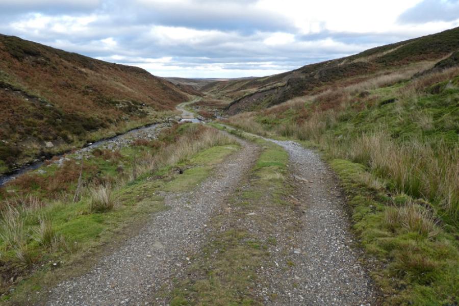
The summit of Rogan's Seat is, arguably, the least interesting in the Yorkshire Dales as it is a small cairn on a peat hag on a very featureless plateau. The route to within 200 m of the cairn is very straightforward from either Water Crag (rocks) or Water Crag trig point as a fence and main track guide one most of the way. Water Crag, the hill, is named after the low broken crags of the same name but the crags are about 700 m from the trig point. There is a very good track for most of the way up William Gill (name on the OS maps but named as William's Gill on the sign post at the start of the track). After the good track ends, a rougher, wetter track and path continue to the ruins of William Gill Colliery, about where William Gill turns south. From here, it is almost pathless across rough heather, with some boggy ground, to reach Water Crag (rocks). The ground is quite rough below the rocks but better above them. There is a fence which stretches most of the way between the two summits. Some sources mistakenly say that it goes from summit to summit but it doesn't. In thick weather both summits will be difficult to locate. The descent goes down moderately rough ground until it meets an old path. The views are good especially to the west where both the Mallerstang Edge (High Seat) and Nine Standards Rigg are well seen. In fact, a zoom camera can show all of the nine standards (tall cairns) from Rogan's Seat. Note that the good track by William Gill crosses three concrete fords which may be deep after rain necessitating alternative crossings of the stream.
Route
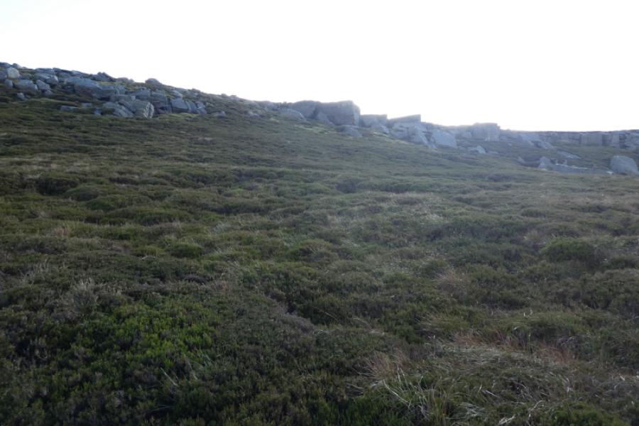
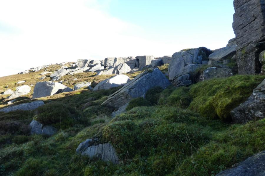
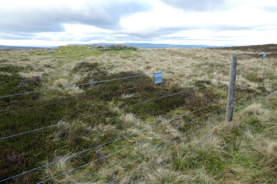
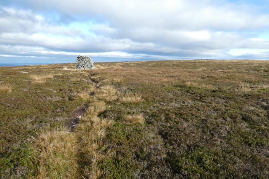
(1) Walk up the William Gill track for just over 2 km ignoring all tracks/paths going off left and right. The track is never far from the gill (stream). After a significant track goes off left, crossing the gill, the track deteriorates but stay with it to reach the few remnants of William Gill Colliery which looks like a cairn when first seen. The gill turns south soon after this but the path/track ends here. There is a deep mine shaft covered by a metal grill which should stop anyone falling in but be careful not to rest objects on the grill in case they fall in! The next section is largely rough and pathless with some short wet and boggy sections needing detours. From the old colliery, walk roughly south east for a long and slow 1 km to reach the rocks of Water Crag. The edge is not very high and has largely collapsed. Best to start at its northern end and walk south to its end just before a fence. The grid reference given is for about the middle of the edge.
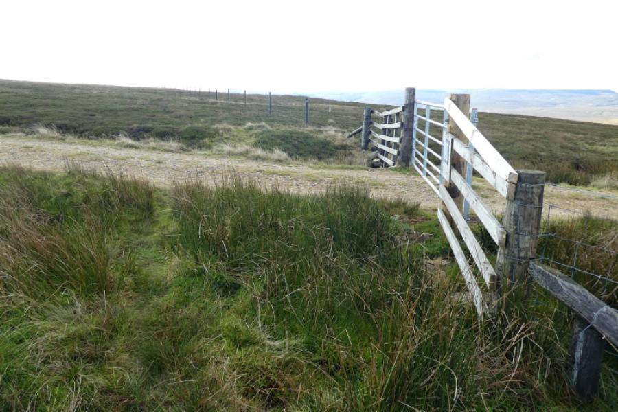
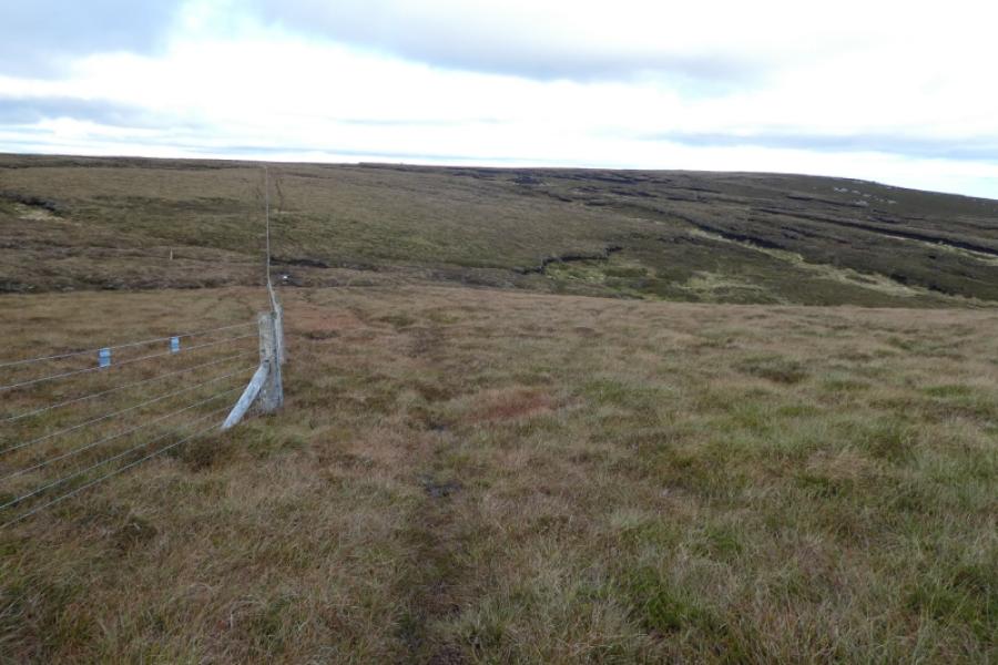
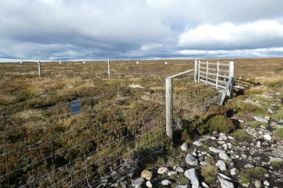
(2) Above the southern end of the crags, soon reach the fence and cross it (no stile but not high). Then walk roughly east to reach what seems like another fence but is in fact the same fence which has headed north east above Water Crag (rocks) to a corner before turning abruptly south. In thick weather, it might be best to stay with the fence. After rejoining the fence, follow it south (path) crossing two wet and boggy hollows. Reach a main landrover track by a gate. Turn left and follow the track for a short distance. The summit is about 200m off to the right on a grassed over peat hag. It may not be visible from the track in thick weather but there is faint path from the track which passes through some low rocks. Reach a tiny cairn which is the summit of Rogan's Seat, 672 m.
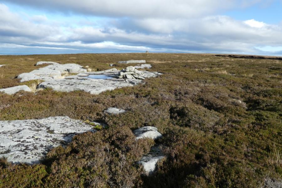
(3) Retrace to the main track then back to the gate then along the fence, recrossing the two wet and boggy hollows. Reach the sharp fence corner where the fence is left. Continue ahead, little sign of a path to soon reach a small cairn on a ground slab. Turn right, east, to soon reach a large cairn. Continue past this, on a path, to reach the trig point which is the summit of Water Crag (the hill), 668 m.
(4) The aim now is to reach the old path running east – west about 1 km north. Descend slightly west of north. The ground soon becomes rougher but not too rough and there are quite a few little dams now in place to reduce peat being washed away. Reach the old path and follow it west, over a slight rise (Great Scollit Hill on the map). Further on the path becomes a track then descends down to William Gill where it joins the main (outward) track up the gill. Follow the track down to the start.
Notes
(a) This walk took place on 4th November, 2021.
Photos - Hover over photo for caption. Click on to enlarge. Click on again to reduce.