Get Lost Mountaineering
You are here: England » Nottinghamshire
Drakeholes, Chesterfield Canal, Gringley & Clayworth from Drakeholes
Drakeholes, Chesterfield Canal, Gringley & Clayworth
from Drakeholes
Start/Finish
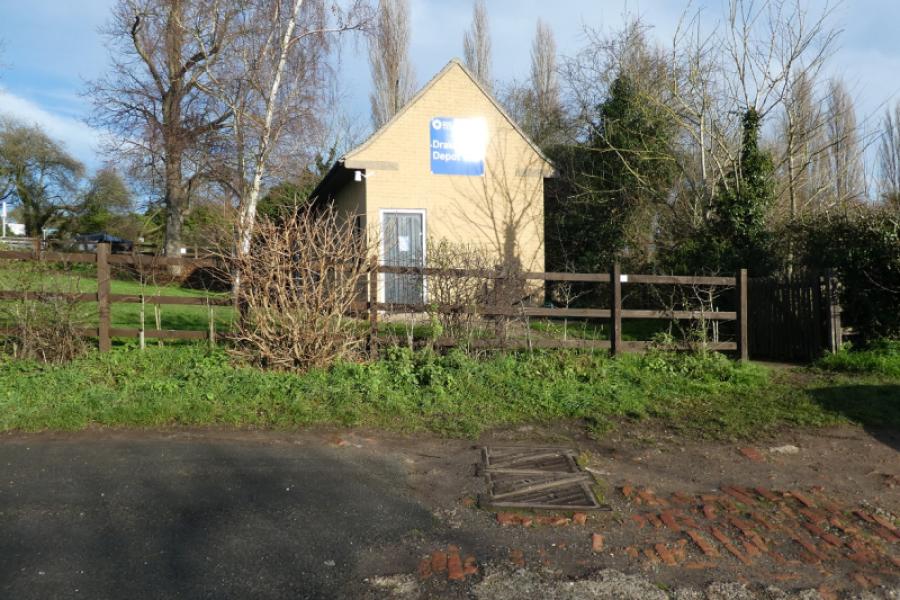
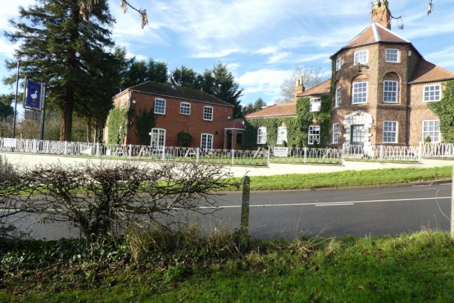
Verge parking by the canal depot at Drakeholes where there is space for a few cars. There is a pub very close by called The Duck which has the postcode DN10 5DF. The easiest approach is from the A631 Gainsboriugh to Bawtry road.
Distance/Time
14 km About 3 - 4 hours
Peaks
No obvious peaks as such but gentle slopes
OS Explorer 280: Isle of Axholme, Scunthorpe & Gainsborough.
Introduction
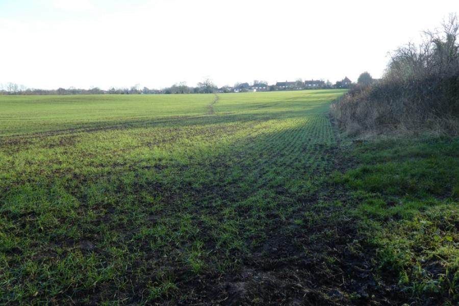
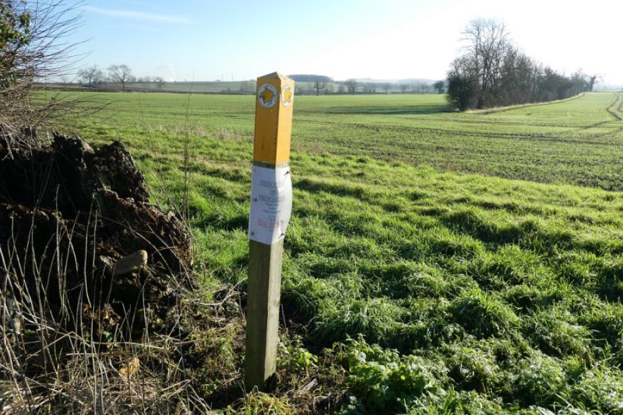
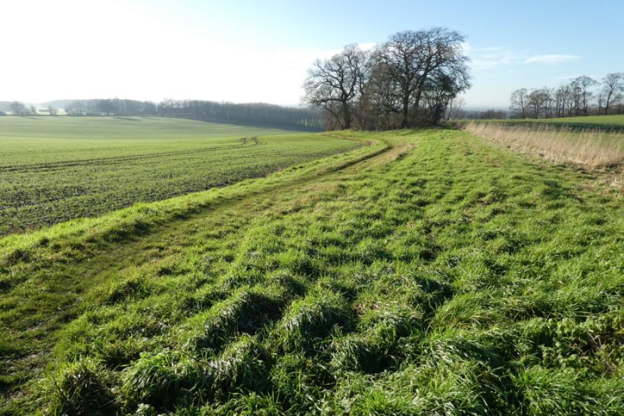
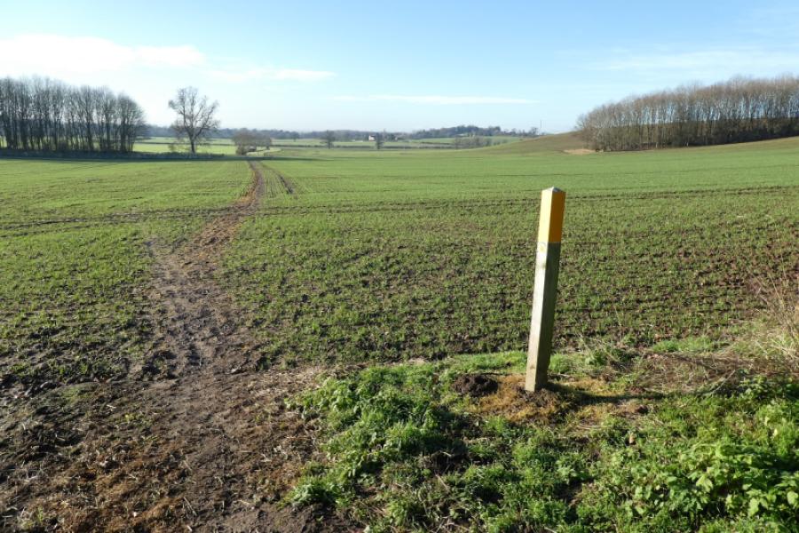
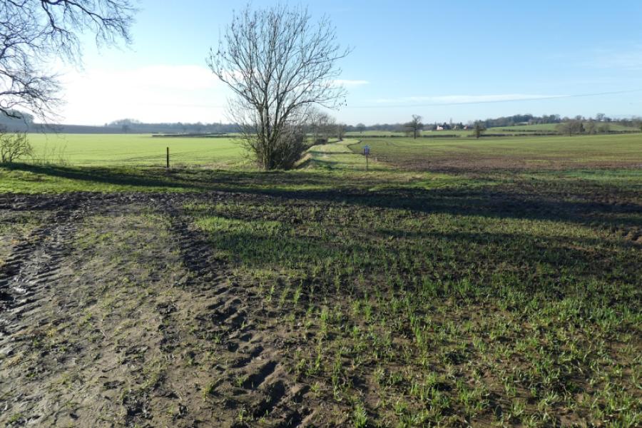
No one would claim that any part of Nottinghamshire is mountainous but walks on its gentle rolling hills are enjoyed by many so here is one which is fairly gentle and has a pub at the start and finish and one after halfway. Much of this walk follows the Chesterfield Canal. There is a section across open fields which have a sticky clay top soil so may be best to avoid wet weather! The paths across the fields are signed and easy to follow unless they have recently been ploughed up and not yet reinstated!
Route
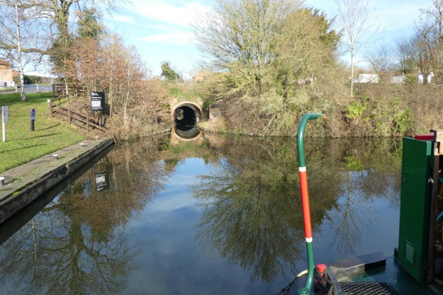
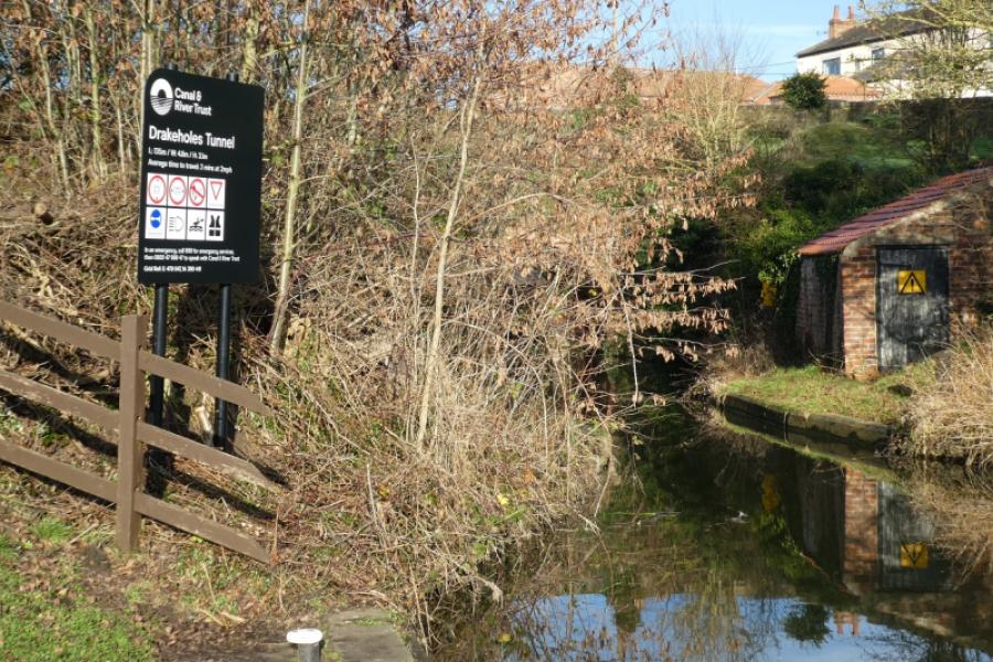
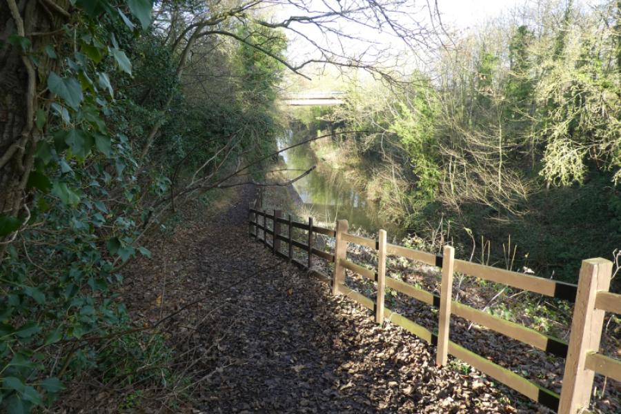
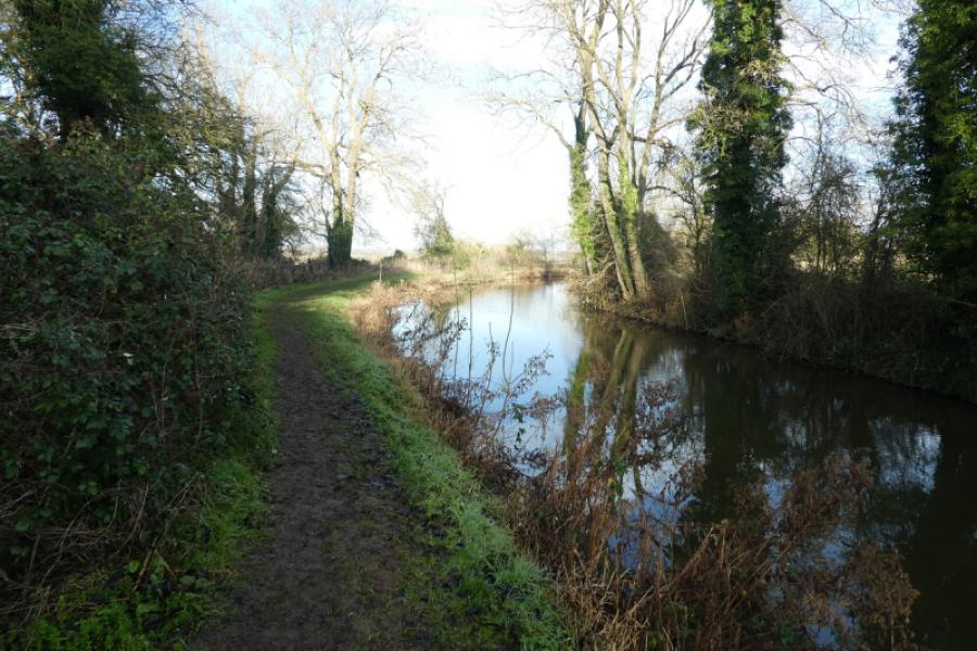
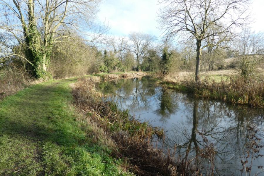
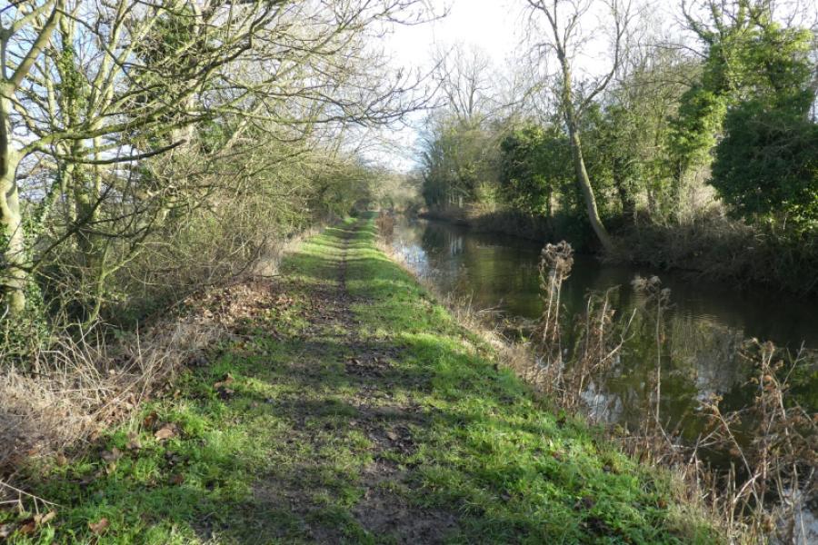
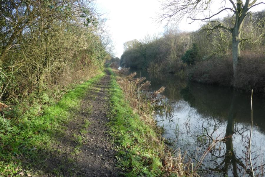
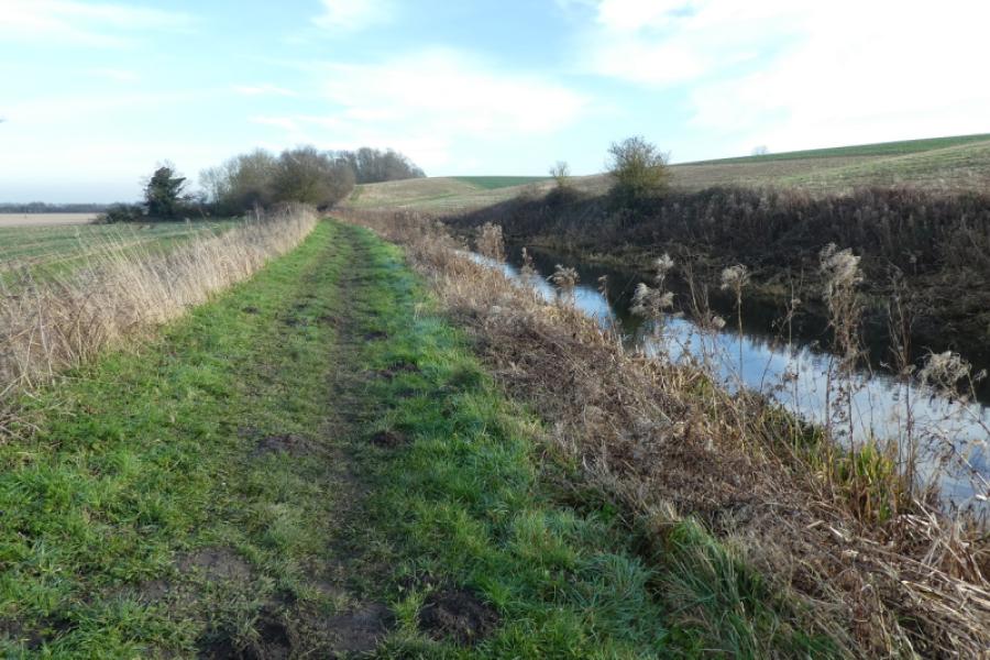
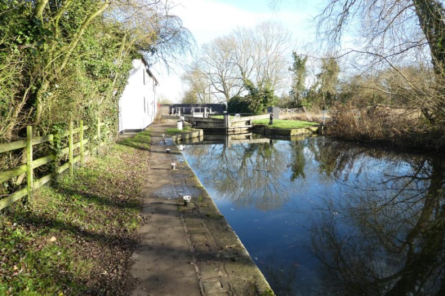
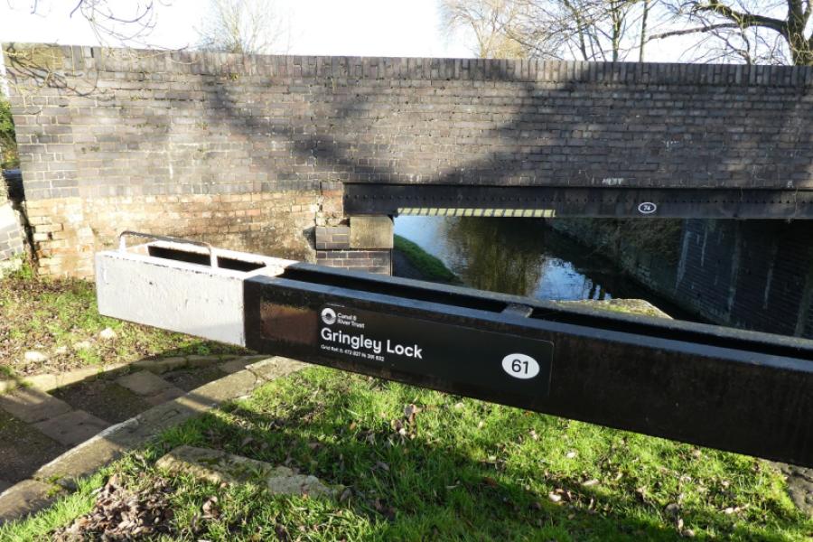
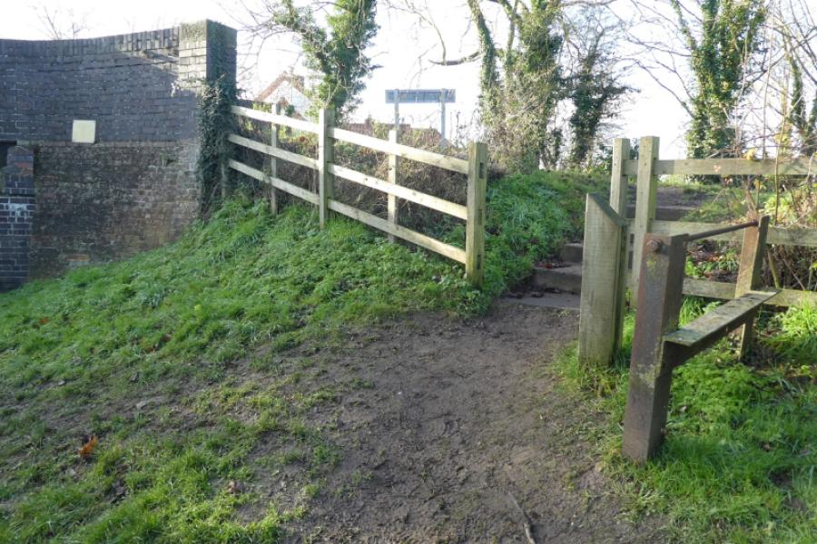
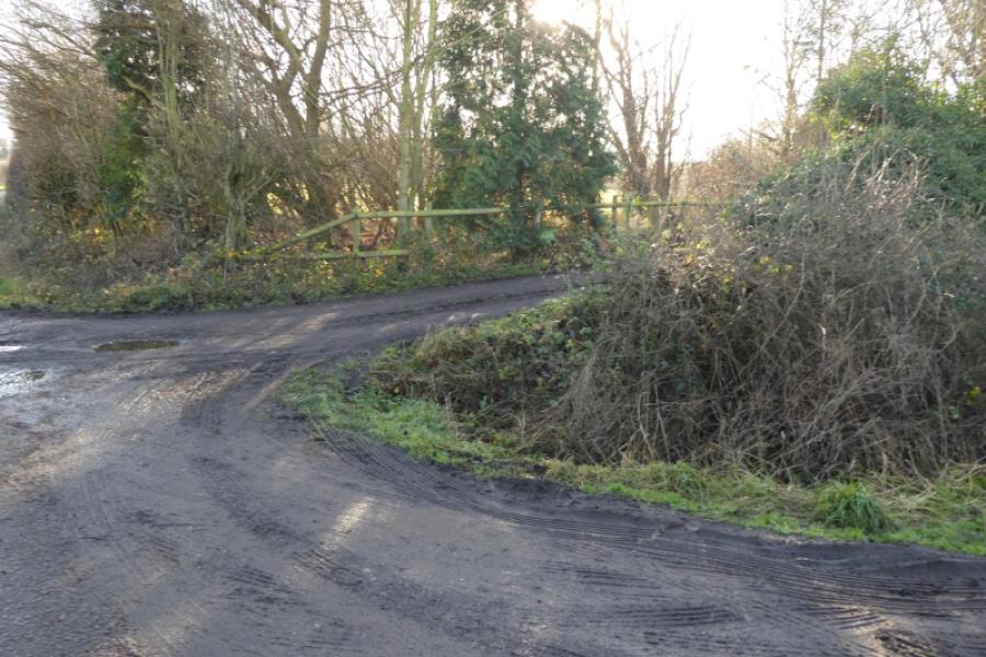
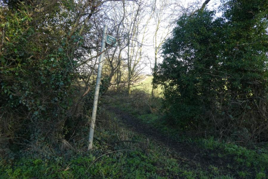
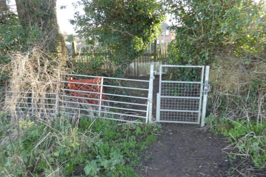
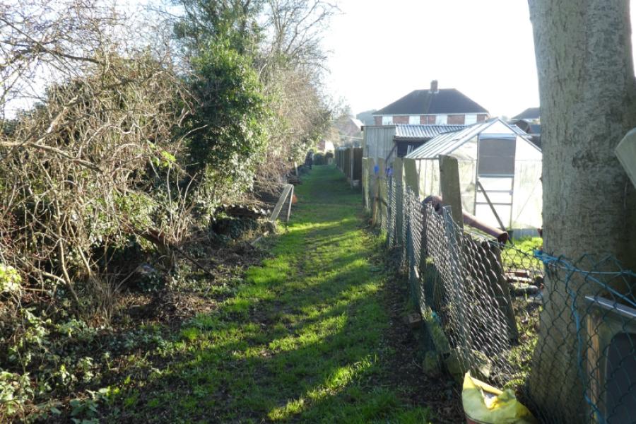
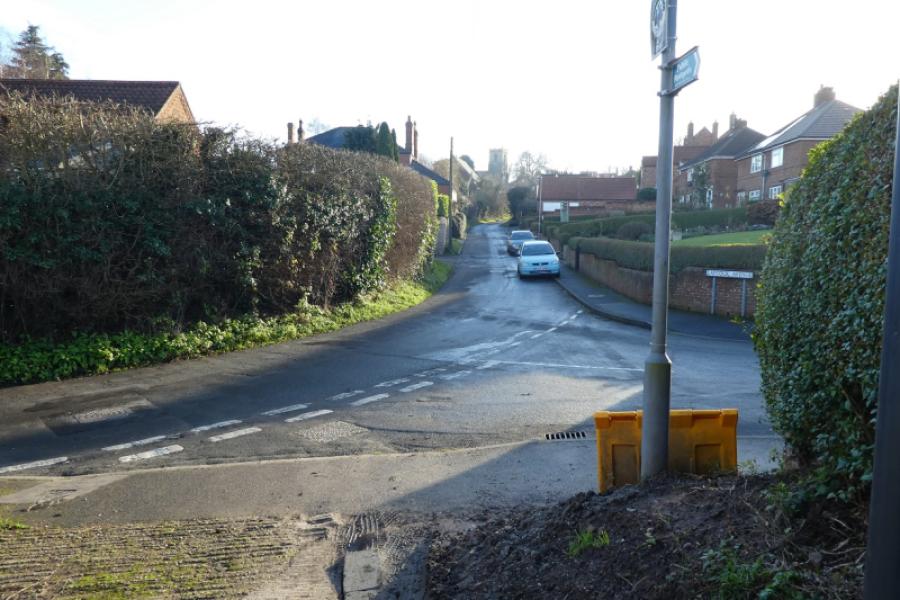
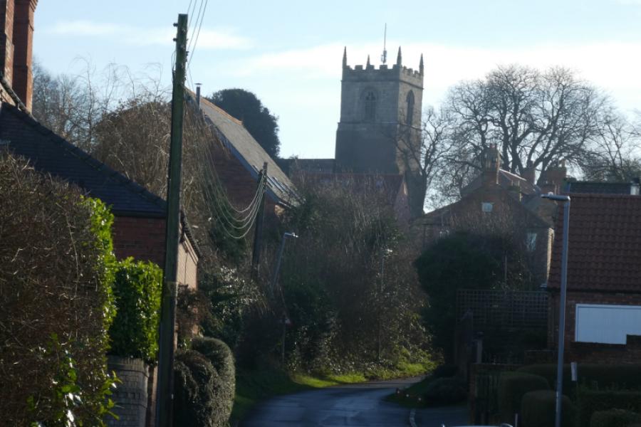
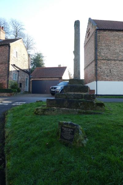
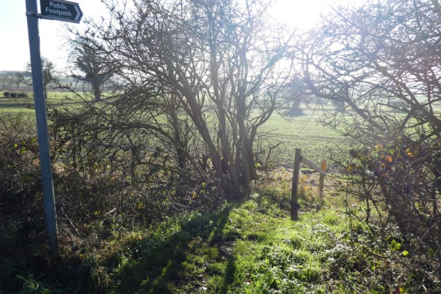
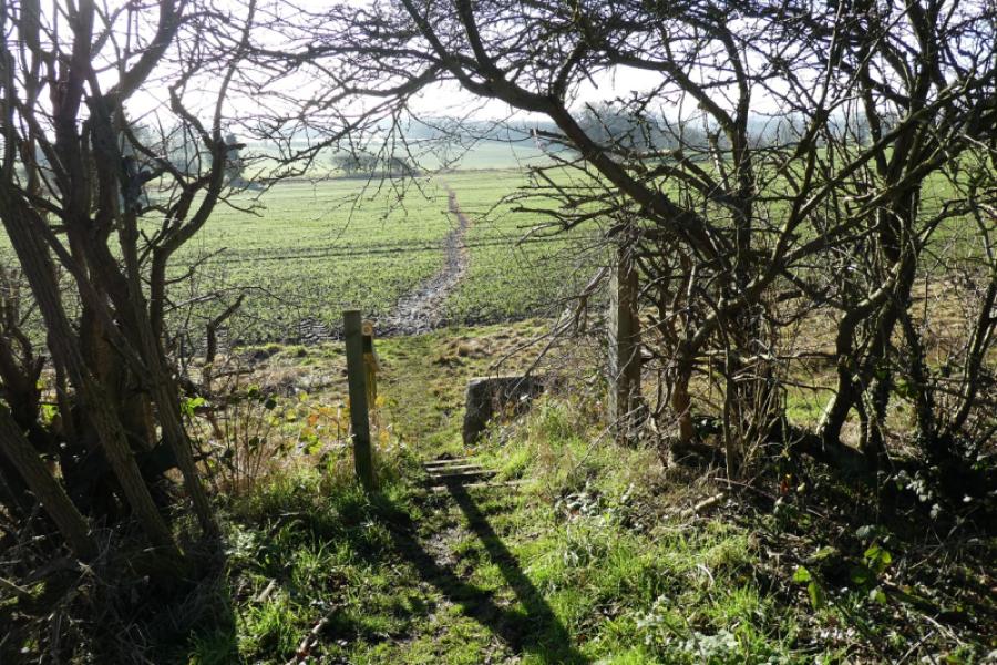
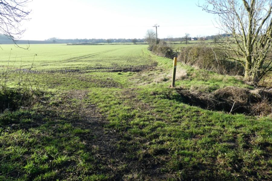
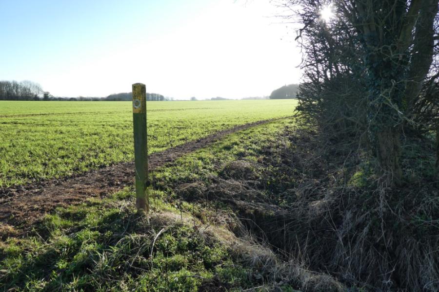
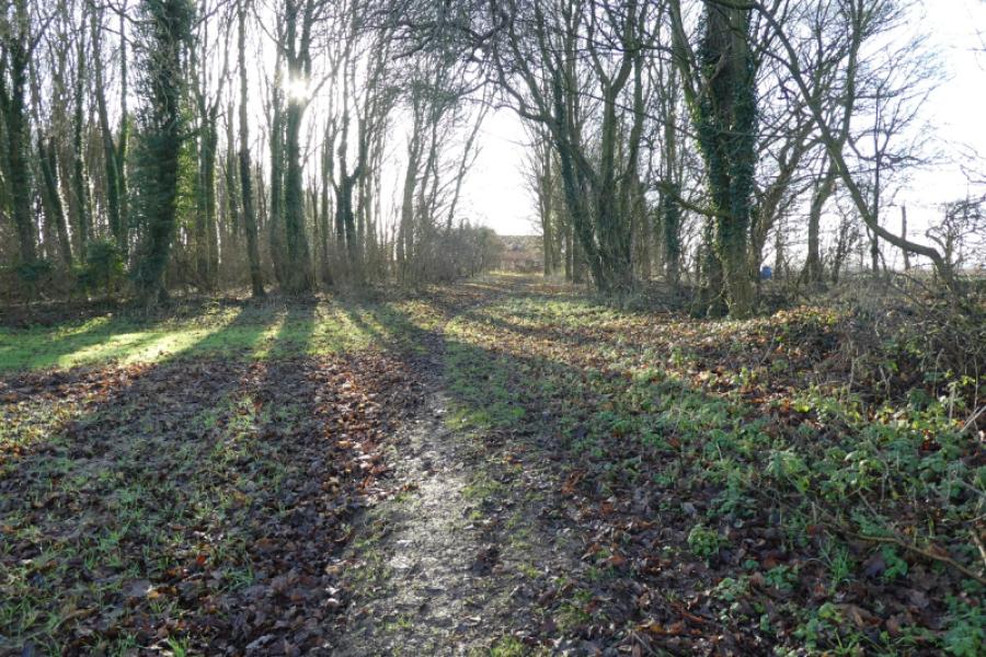
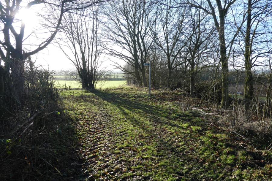
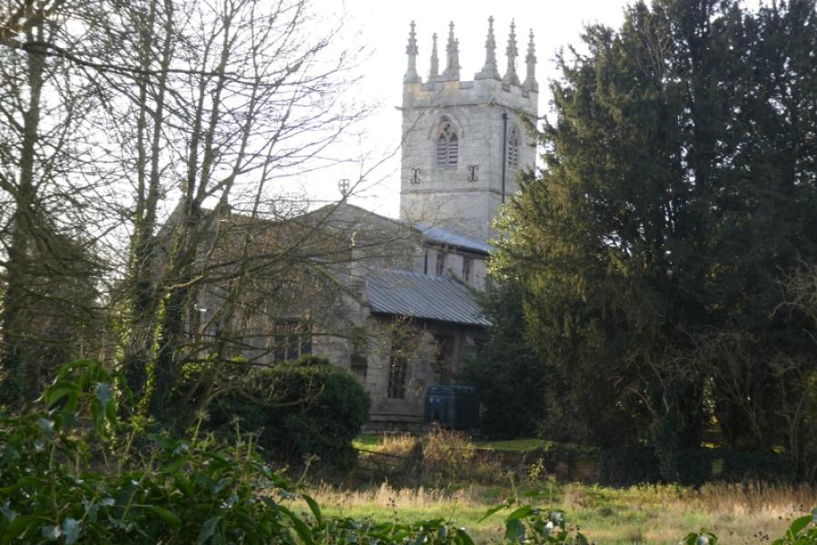
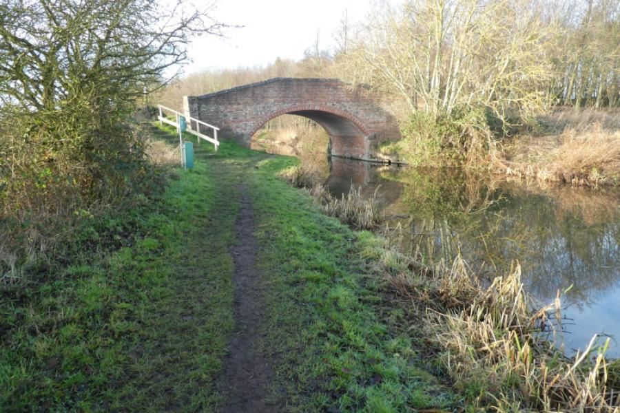
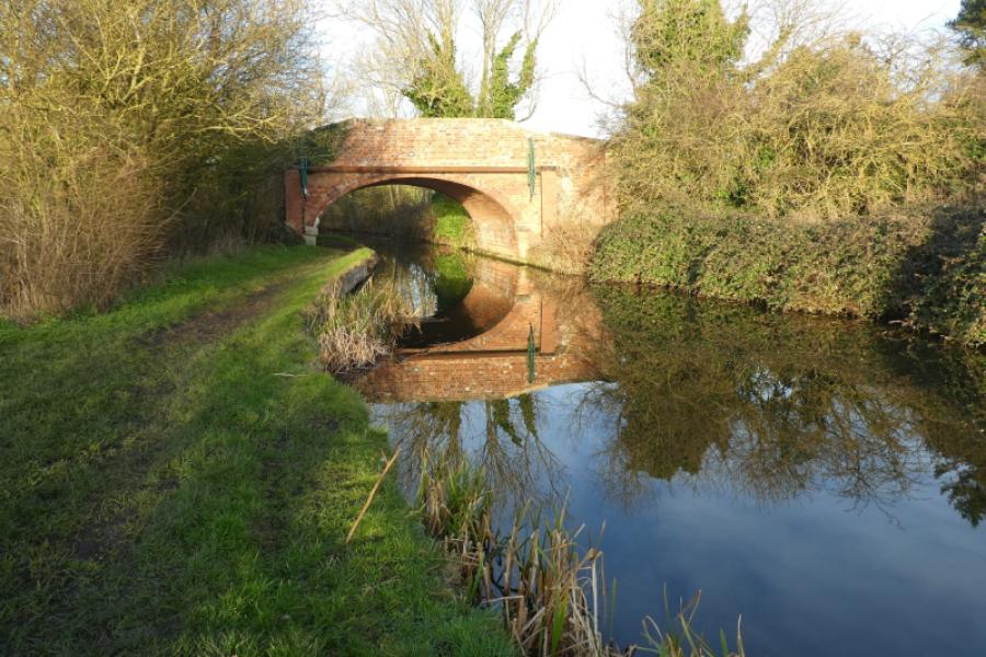
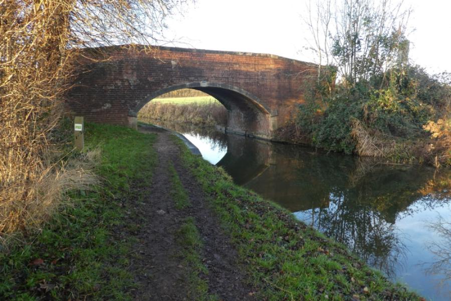
(1) Locate the canal (opposite the pub) which immediately goes through a tunnel so follow the road above the tunnel, passing the pub on your left. Turn right and immediately cross the road and head straight up a wide lane which becomes a path before rejoining the canal. Turn right and follow the tow path with the canal on your right and heading roughly east. After about 3 km, reach Gringley Top Lock and house with a road bridge over the canal. Leave the canal here and turn right, roughly south, onto the road and follow it, gently uphill, for about 600 m to reach the second footpath sign on the left which is opposite a track on the right. Take this footpath. If it is initially too rough, there is a hole in the hedge about 20 m further on. Follow the path across a field to reach the backs of some houses. Follow the continuation path left then right to reach a road in the village of Gringley-on-the Hill. Follow the road roughly south towards the church and stay with the road, passing the old market cross, until it turns right not far from the A631 main road. Just after this corner, a path is signed, left, which quickly leads to the A631.
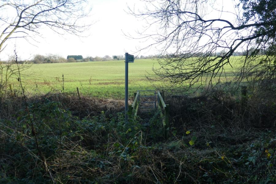
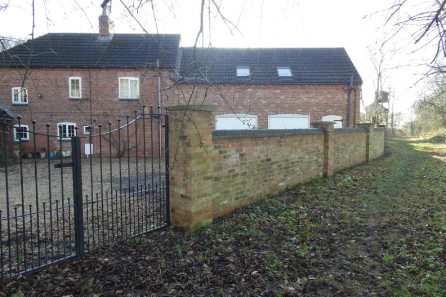
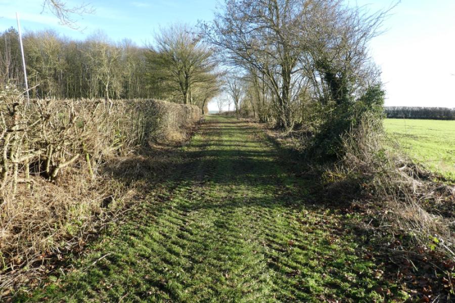
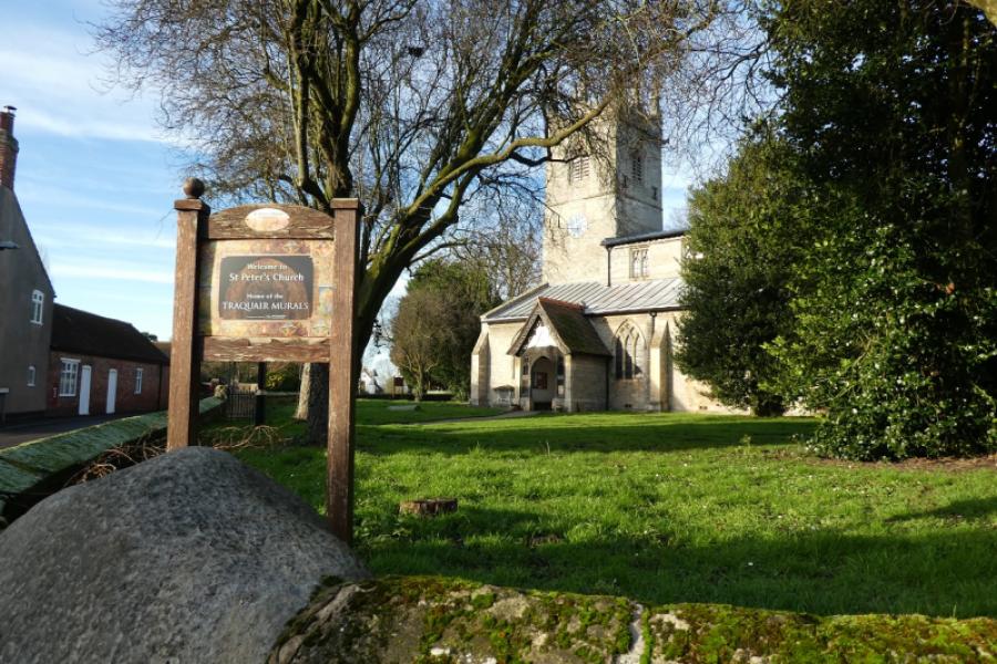
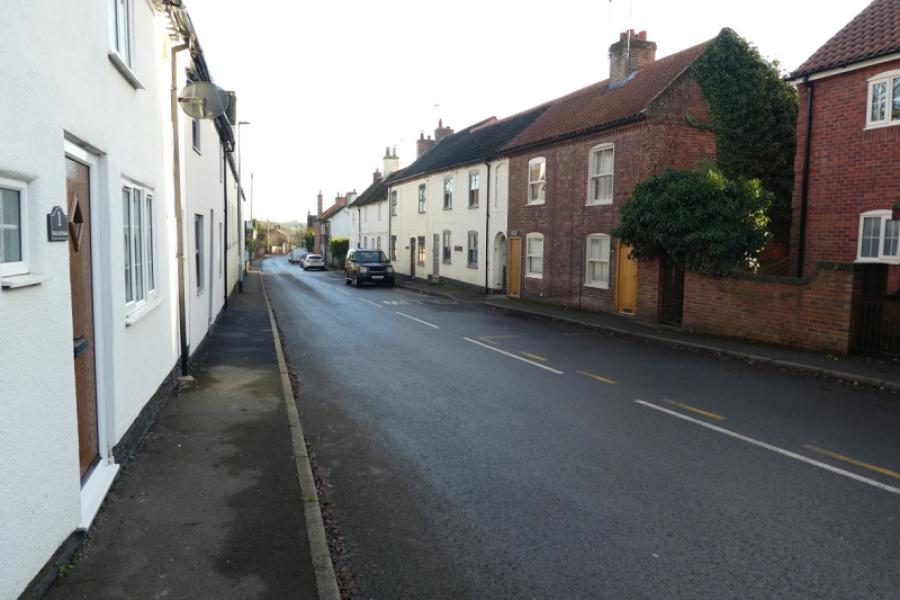
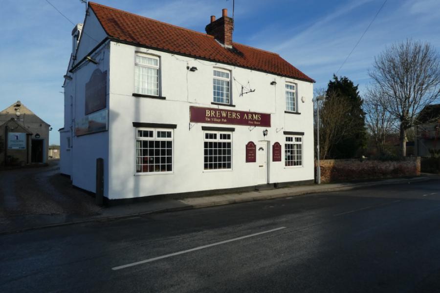
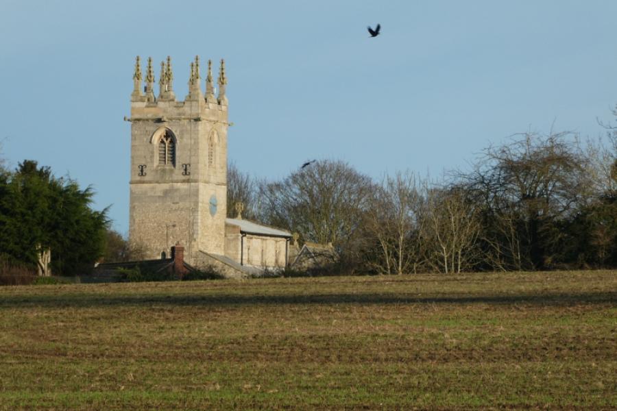
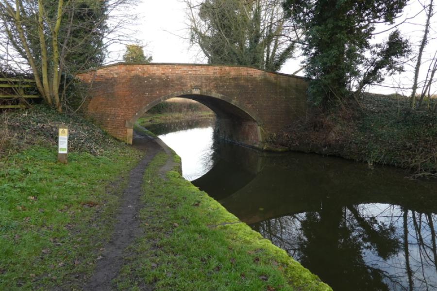
(2) Cross the A631 and follow the footpath on the other side. This continues in roughly the same direction before turning right, WSW, then goes SSW then SSE before finally turning SSW again to head for the side of an obvious wood. There are signs to keep you going in the right direction. This leads past a house, Newlands, and onwards to a corner where a grassy track goes left. The grassy track soon becomes a vehicle track and is followed past the wood where it goes right and heads roughly south towards Clayworth. The track emerges by the church graveyard. Turn right to head for the church and soon reach the main road through the village. Turn left and walk through the village passing the pub, Brewers Arms, and continue on the road until a bridge over the canal is reached.
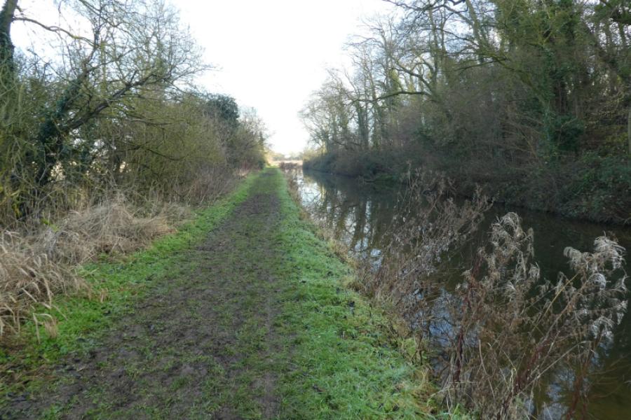
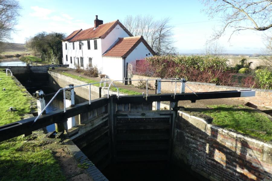
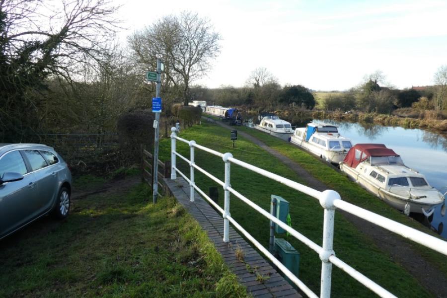
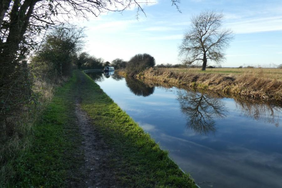
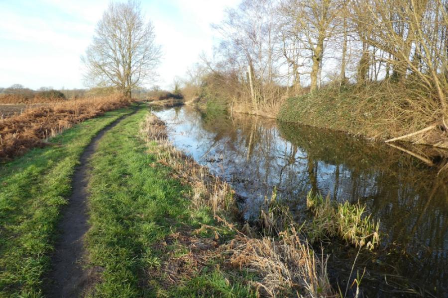
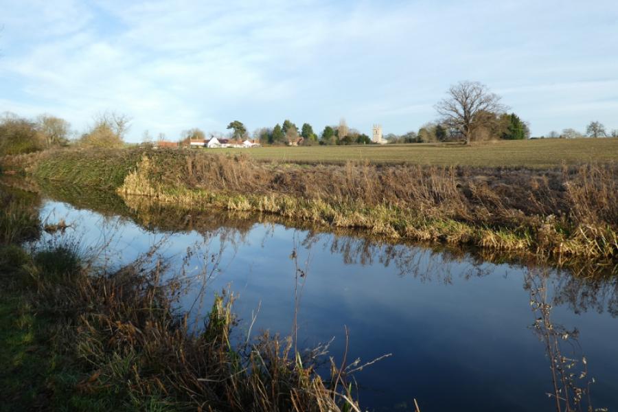
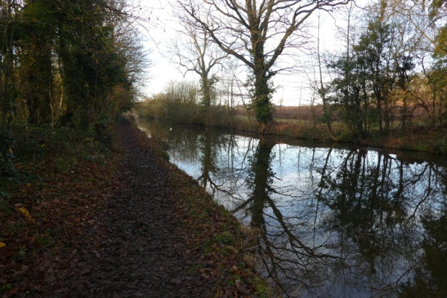
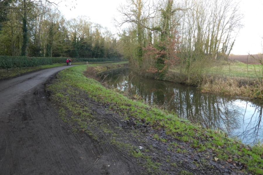
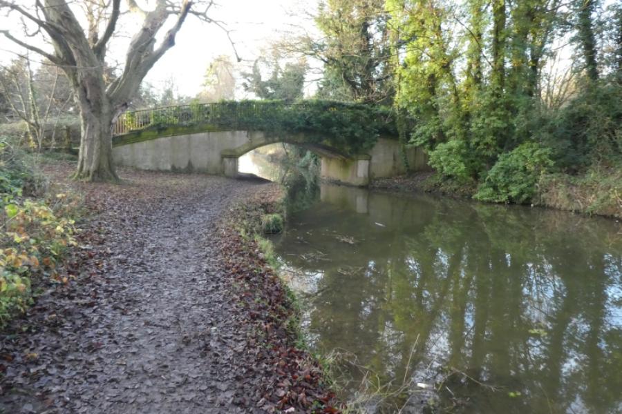
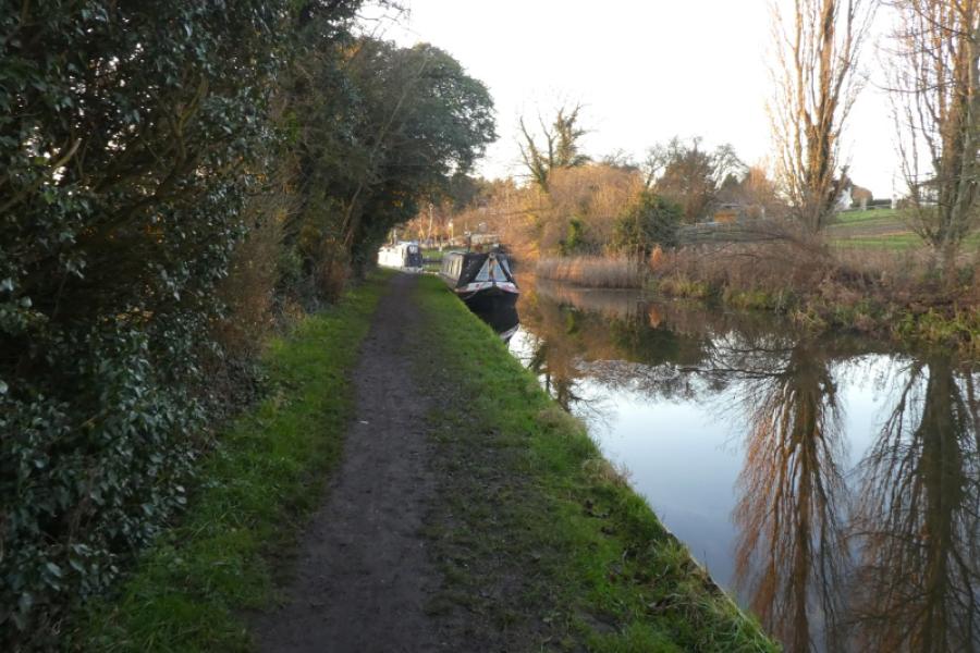
(3) Cross the bridge then immediately turn right onto the tow path by the canal and follow the tow path which leads all the way back to the start passing under several bridges and going past Clayworth and Wiseton. Note that the section from the pub to the canal bridge is off the map as is the section along the canal after that but a map isn't really needed here.
Notes
(a) This walk took place on 12th January, 2022.
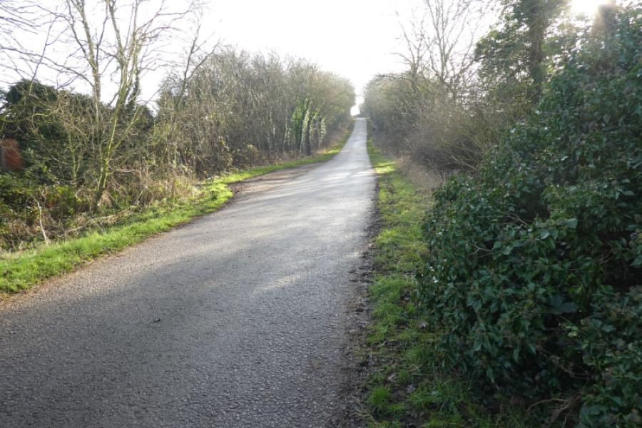
(b) The walk can be shortened by turning right at Clayworth church and following the road to a bridge over the canal where the tow path can be picked up. This saves nearly 2 km of walking. A similar saving can be made by following the road all the way from Clayworth to Drakeholes.
Photos - Hover over photo for caption. Click on to enlarge. Click on again to reduce.