Get Lost Mountaineering
You are here: Scotland » 01 South of Oban to Stirling and Fife » Ochil Hills
Dumyat via Burnwarroch Gap and Castle Law from Blairlogie Orchard returning by Blairlogie Path
Dumyat via Burnwarroch Gap and Castle Law
from Blairlogie Orchard returning by Blairlogie Path
Start/Finish
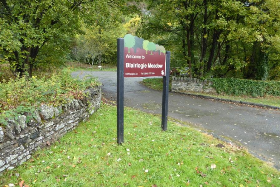
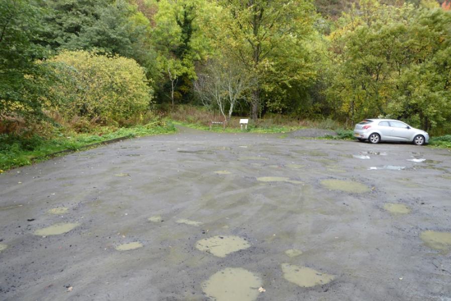
Blairlogie Orchard car park. This is on the A91 road from Stirling to Alva and St. Andrews. The car park is about 2 miles from the roundabout intersection with the A907 road from Stirling to Alloa. The car park is well signed, on the north side of the road, with space for about 10 cars although it is rough and likely to have puddles after rain!
Distance/Time
5 km About 2 – 3 hours
Peaks
Dumyat, 418 m, NS 835 977.
Castle Law, 374 m, NS 832 974. OS Explorer 366: Stirling & Ochil Hills
Introduction
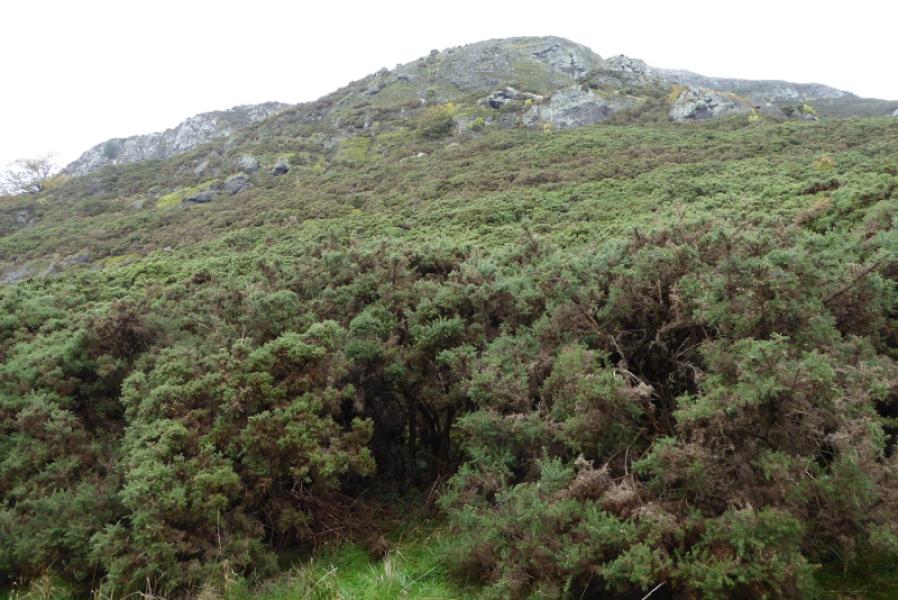
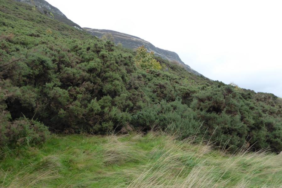
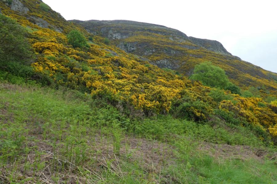
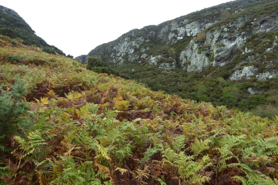
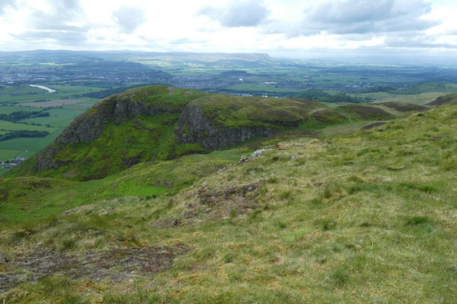
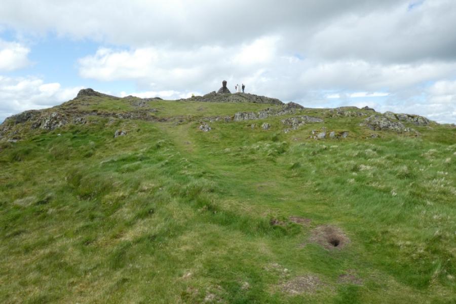
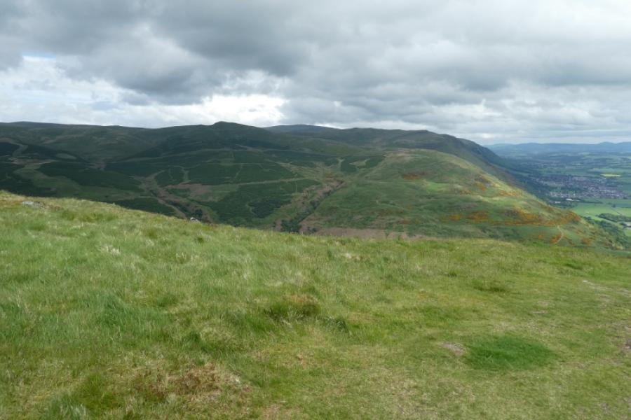
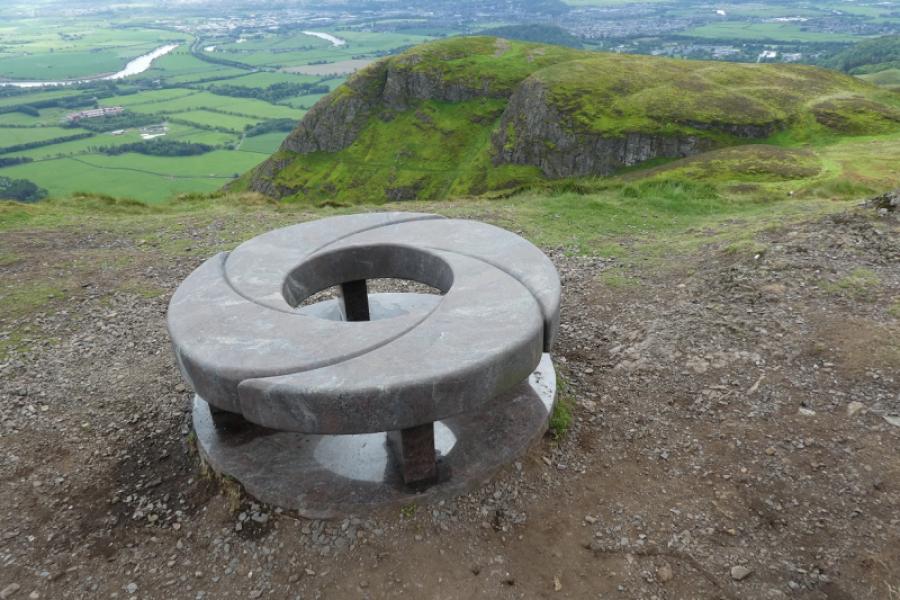
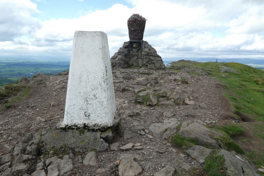
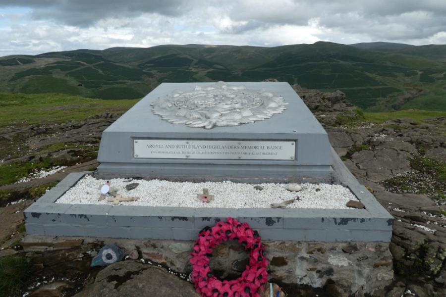
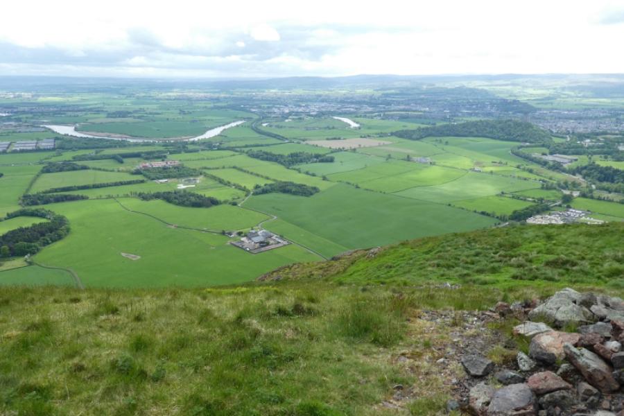
Looking at the map suggests that Dumyat is a low outlier of the Ochils. Despite it's modest height, Dumyat punches well above its weight with steep crags and thick gorse (shorts not recommended!) on its south flank. There is a memorial to the Argyll and Sutherland Highlanders on its summit, a trig point and a basket on a plinth which is a beacon. In clear weather, there are views to the main Ochils over to the east and the meandering River Forth to the south. This route also takes in the lower top of Castle Law before descending the main path then down a minor path back to Blairlogie.
Route
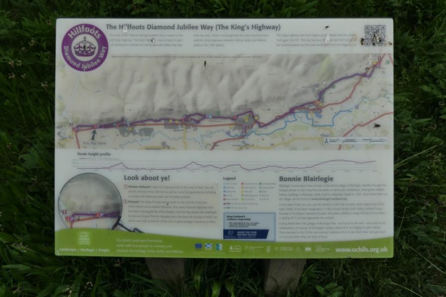
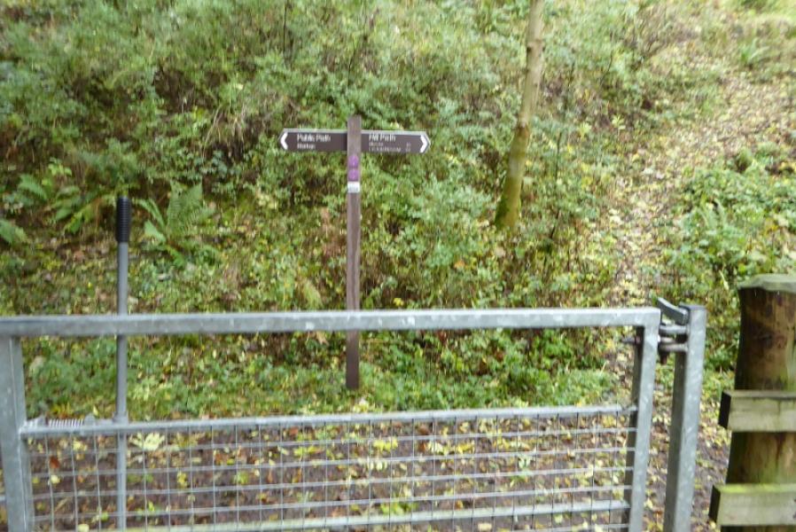
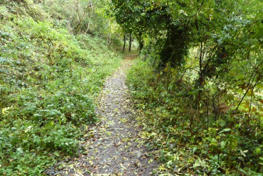
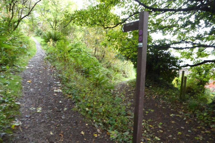
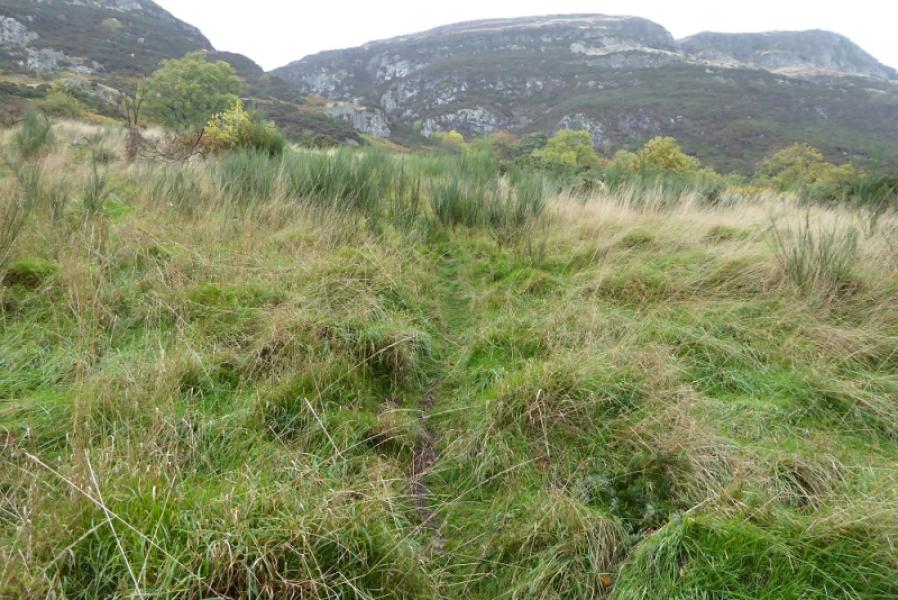
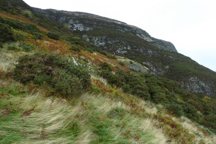
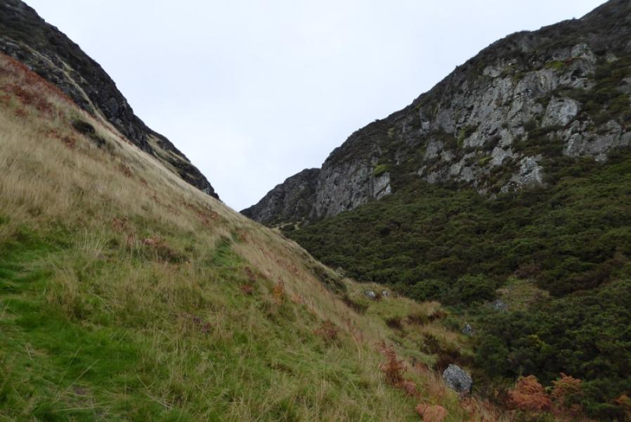
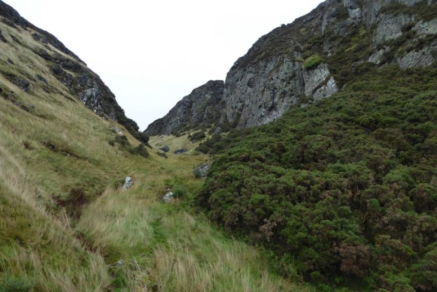
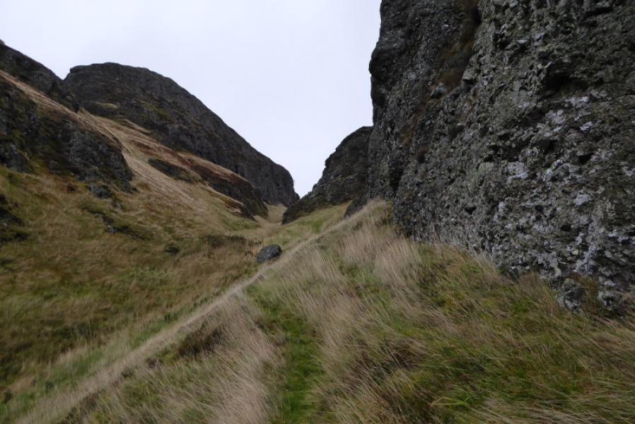
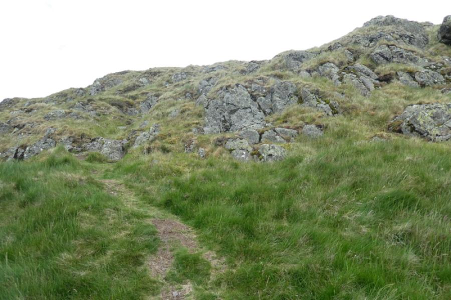
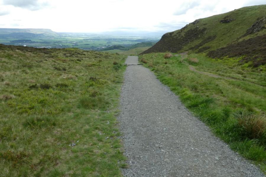
(1) Walk out the back of the car park and go through a gate to reach a path. Turn right and follow the path for a short distance until the path splits. Take the left fork (signed). Follow this path which undulates gently. Soon the prominent gap of the Burnwarroch will become apparent. Not far before reaching the burn, pass an overhanging oak tree followed by an overhanging horse chestnut tree. Just after this, a faint grassy path heads uphill. If you miss it and reach a bridge over the burn then turn back to find it. The path is, essentially, narrow trodden grass and is steep in places. Higher up, it drifts left before picking a way through the gorse. At times, it can feel like one is in a gorse tunnel. Once through the gorse, the path drifts back towards the Burnwarroch gap and ascends up the left hand side before going up the middle. Higher up, the angle eases and the crags on either side start to run out. Take the first path going off to the right and follow this towards a small fenced off area. Meet a grassy track and turn left onto it. Follow this, seemingly away from the summit, until a path goes off to the right. Follow this as it passes below the summit crags then joins another path. Turn left and follow the path up to the summit area passing a “round table” just before the trig point beyond which is a beacon basket and a low memorial. The highest point is the summit of Dumyat, 418 m.
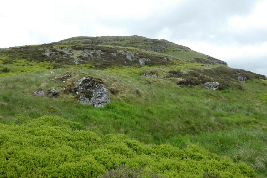
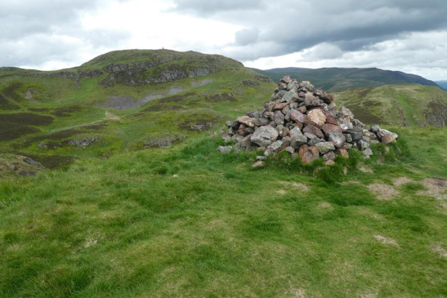
(2) Take the very obvious wide path heading west which is the most popular route up Dumyat until it reaches a gate. Leave the path just before the gate and follow the fence to gain the short ridge leading to Castle Law. Note where a path comes in from the right. Soon reach the summit area where there are two large cairns. The second one is the summit of Castle Law, 374 m.
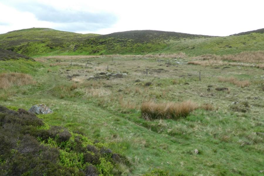
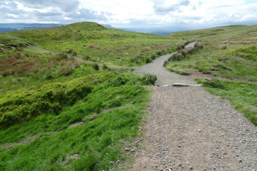
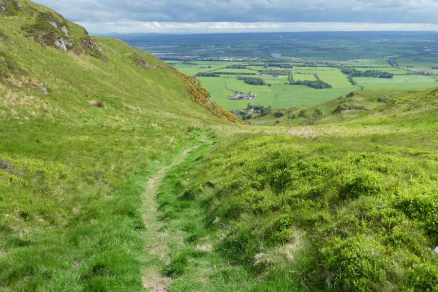
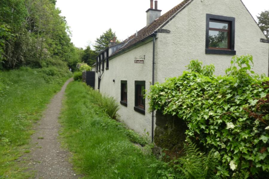
(3) Retrace towards the main path taking the left fork where the path splits. Further on, step over the fence then follow the main fence west for some distance. Just before the main path splits, take a minor path going down a green gully/valley towards a white house at the bottom. Follow this path down. Lower down, it steepens before reaching the backs of some houses. Continue to join a signed path. Turn left and soon reach the gate at the top of the car park.
Notes
(a) This walk took place on 22nd May, 2022.
Photos - Hover over photo for caption. Click on to enlarge. Click on again to reduce.