Get Lost Mountaineering
You are here: England » Yorkshire Dales » Central & Northern Areas
Yockenthwaite Moor from Hubberholme
Yockenthwaite Moor from Hubberholme
Start/Finish
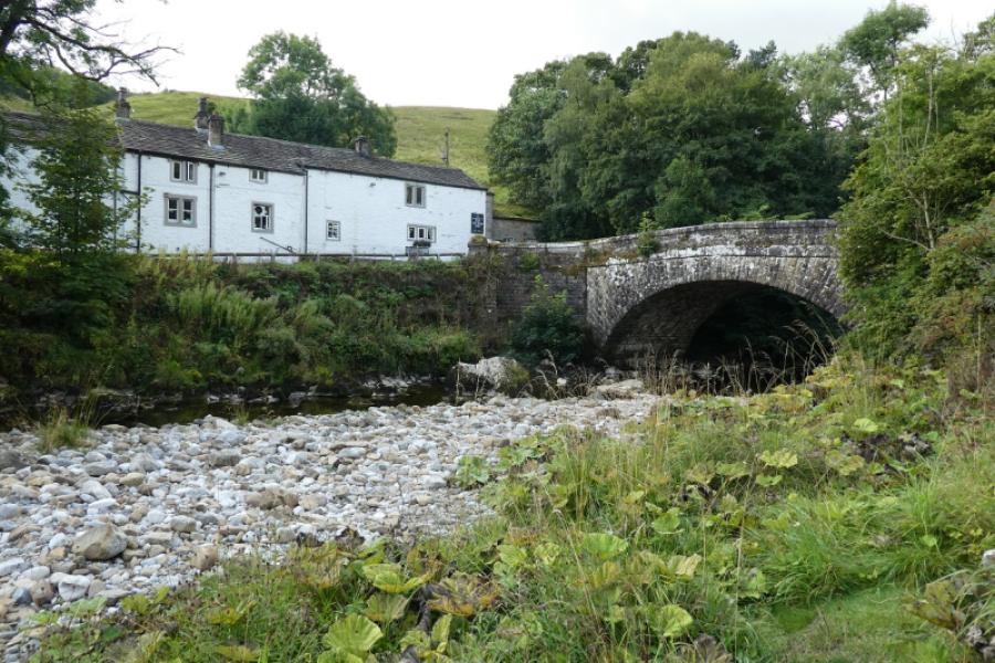
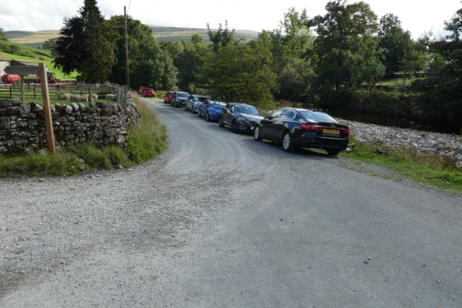
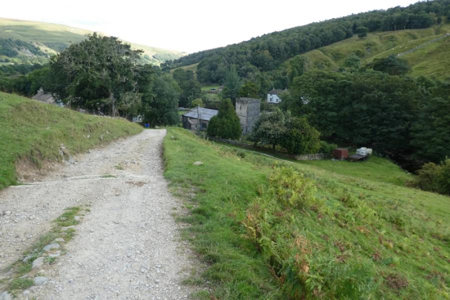
Hubberholme, a small hamlet which is just over a mile from Buckden on the road to Hawes. Turn right at the George Inn and cross the old stone bridge. There is limited parking on a gravel verge on the right but this may be under water if the River Wharfe is very high. If coming from Wensleydale over the very scenic Bishopdale road then go over a high pass (easy parking and lovely views) and descend towards Buckden. It's best to ignore the first two signs for Hubberholme as those roads are very narrow and you wouldn't want to meet an oncoming vehicle so go into Buckden then take the road (reverse fork) to Hawes after a “green”.
Distance/Time
8 km. About 4 - 5 hours.
Peaks
Yockenthwaite Moor, 643 m, SD 909 811.
OL30 Yorkshire Dales: Northern & Central Areas
Introduction
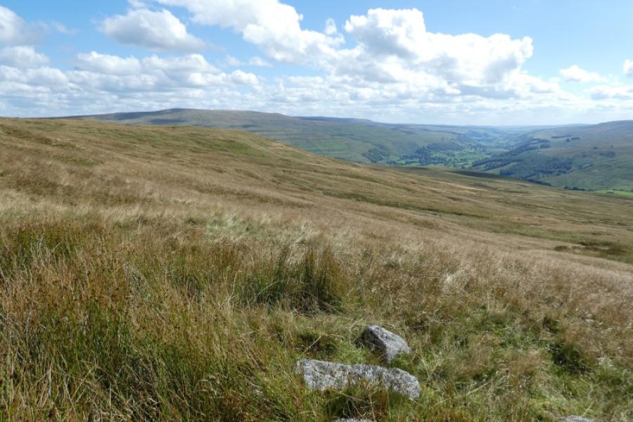
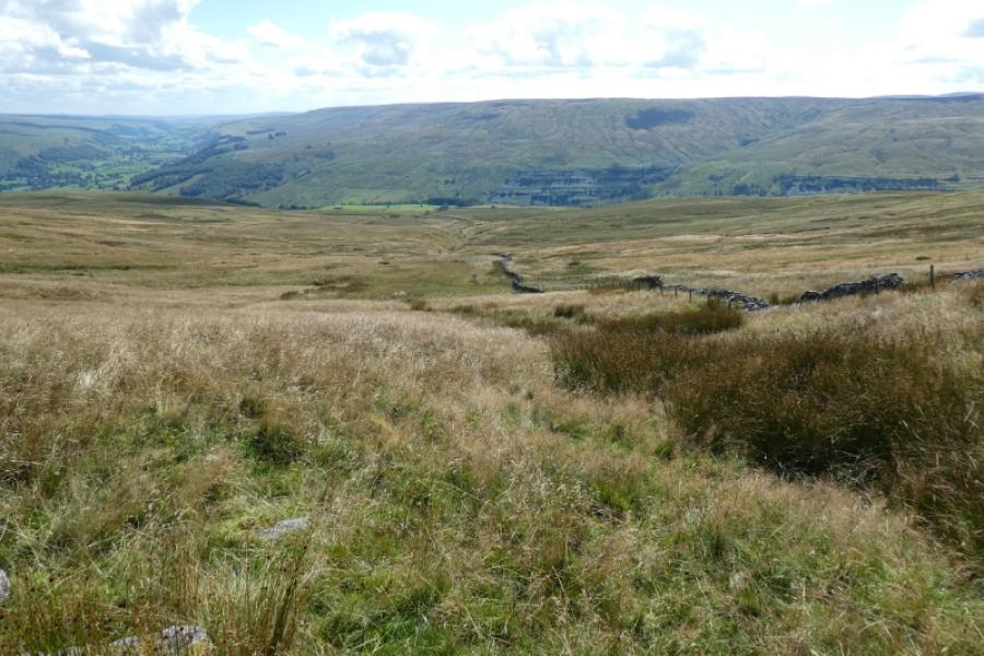
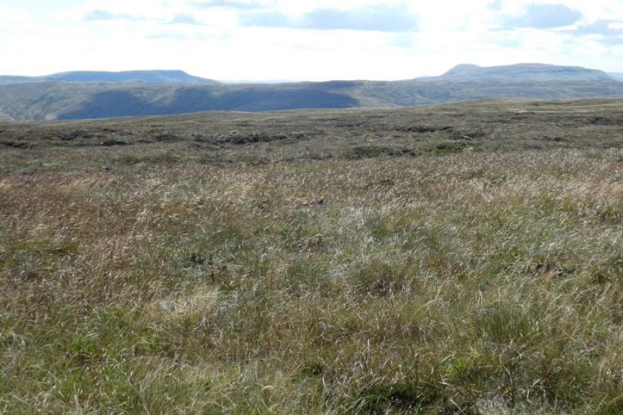
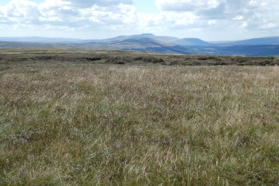
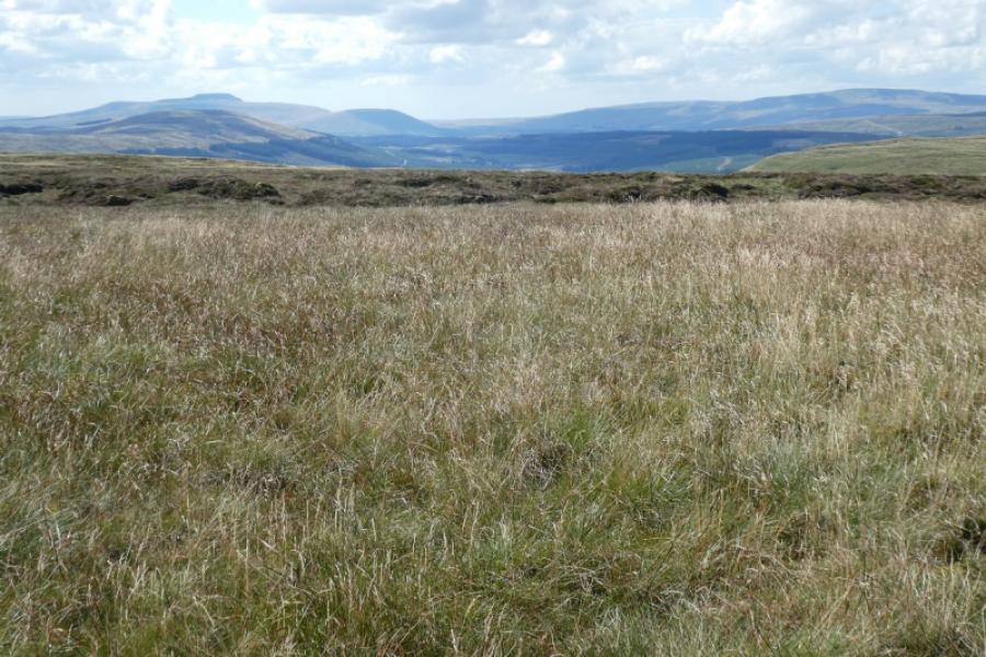
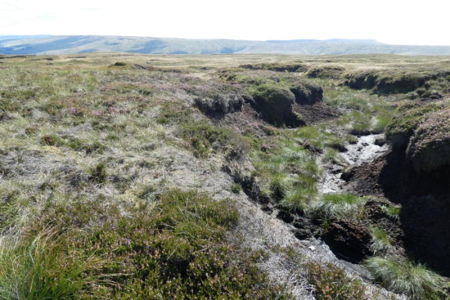
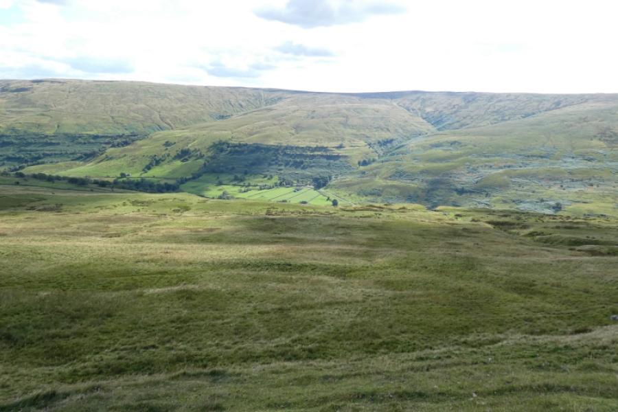
If you read about Yockenthwaite Moor online, most will say how unpleasant it is because it can be so very wet and boggy. It is best visited towards the end of a long hot and dry spell, eg early September, when it has largely dried out or in deep winter when it is frozen. Even when largely fried out, there are still boggy sections and one can easily see how bad it can get in a wet spell. This route is rougher than the other described as some of the paths and tracks are quite faint and pass through rough grasssy areas. Navigation to the top is relatively straight forward as a stream, wall/fence can be followed uphill to meet the fence on the plateau which leads easily to the trig point; in descent, navigation could be very tricky in mist so it might then be easier to retrace the ascent route. Yockenthwaite Moor is actually a subsidiary top of Dodd Fell Hill whose summit is about 7 km WNW of the trig point. It is very featureless terrain especially around the summit. In clear weather, there are reasonable views with Buckden Pike being most prominent. Birks Fell, Fountains Fell, Pen-y-Ghent, Plover Hill, Ingleborough and Whernside will easily be spotted on a clear day but distance and haze may make good photos difficult to achieve.
Route
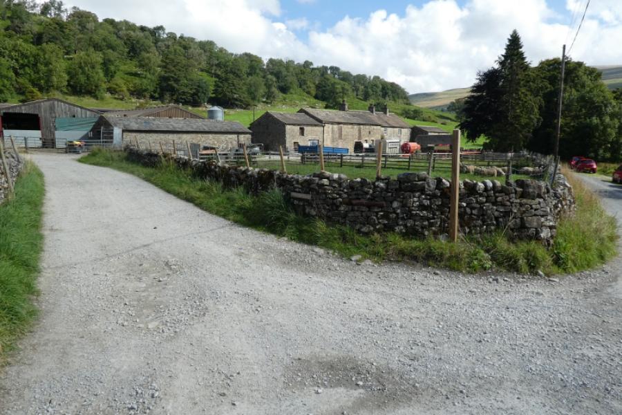
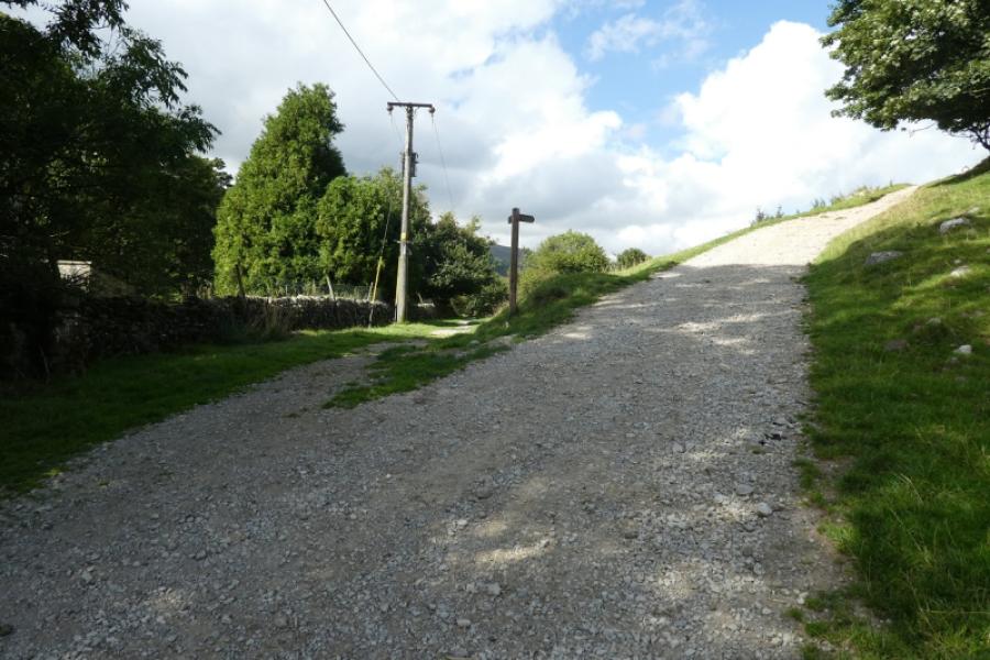
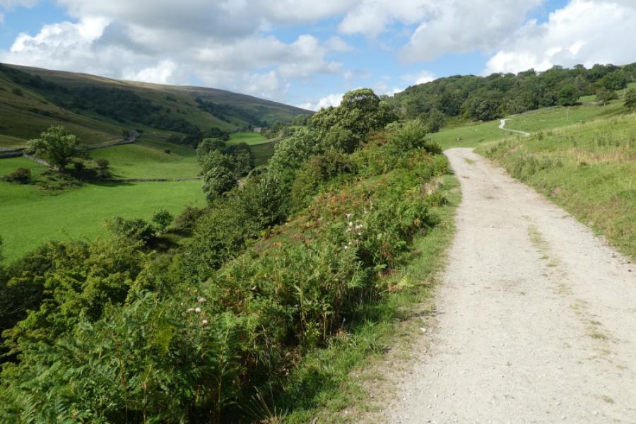
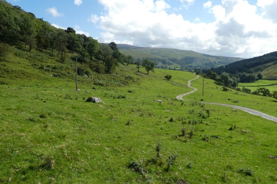
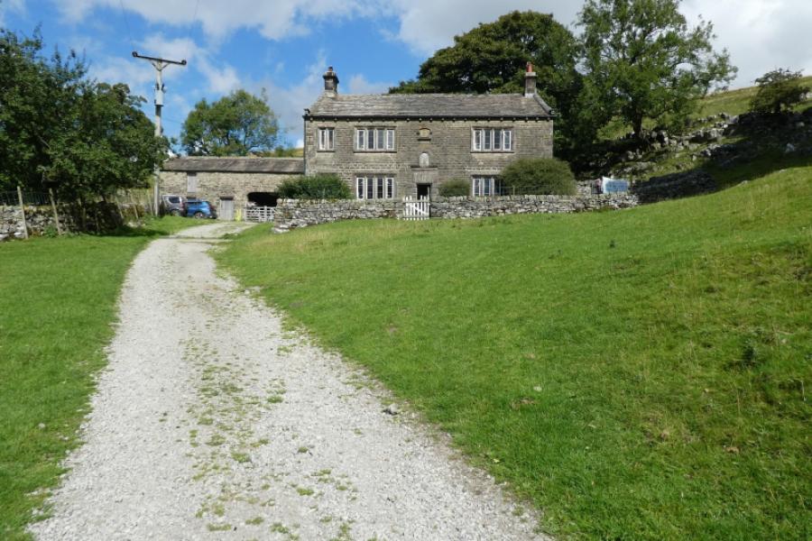
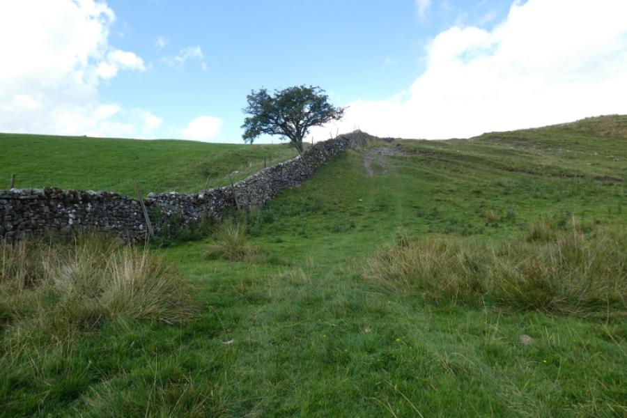
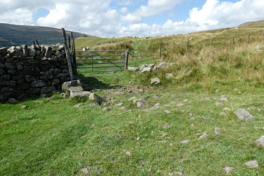
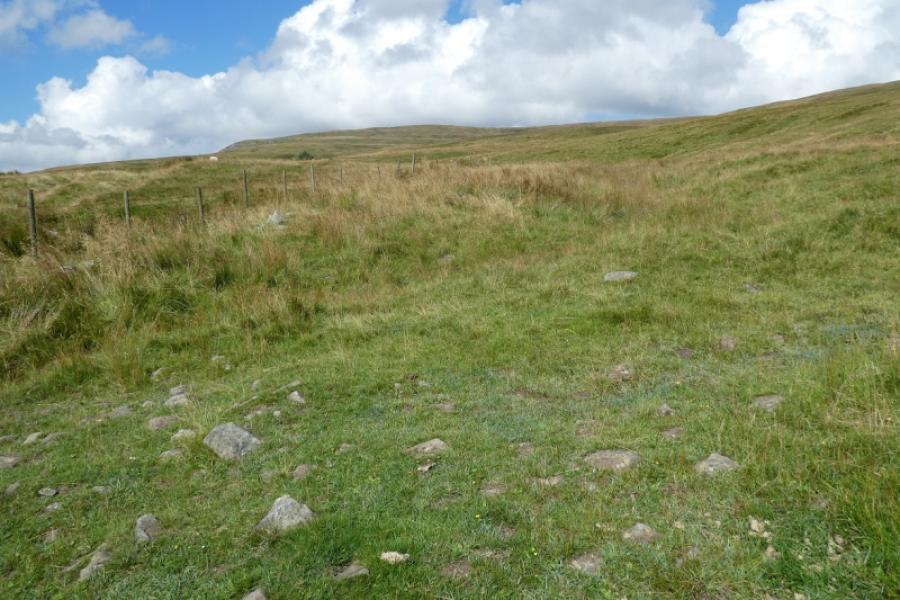
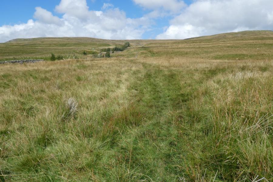
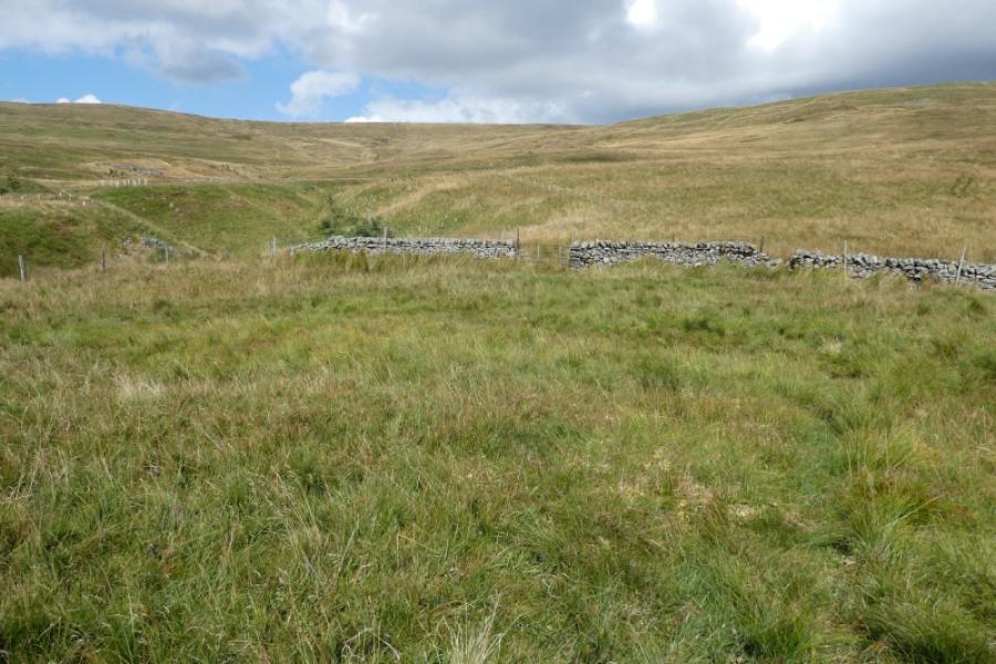
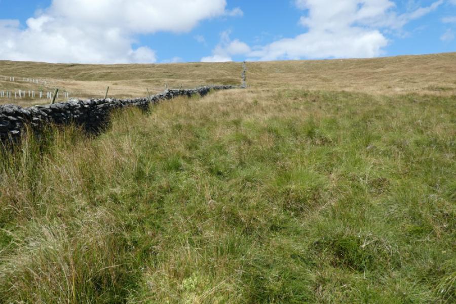
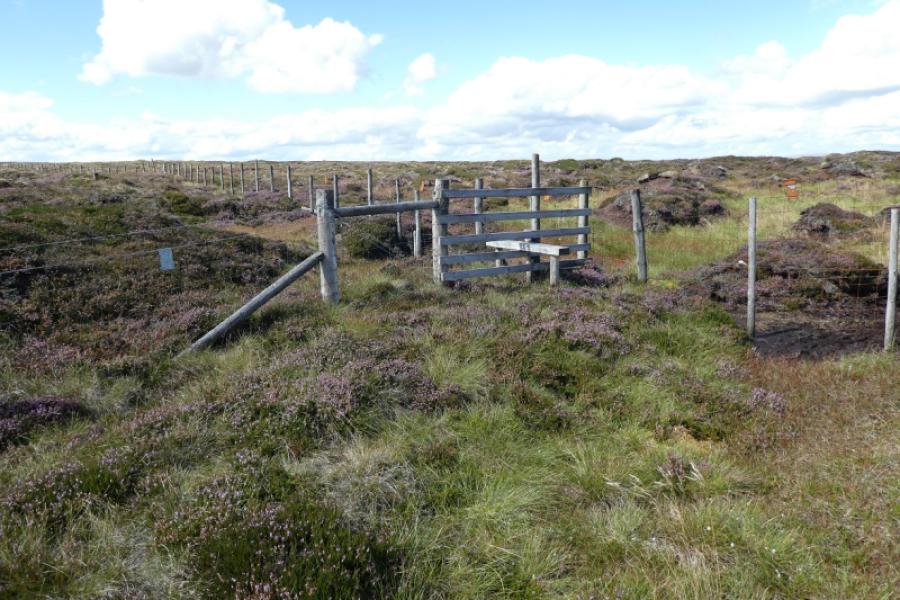
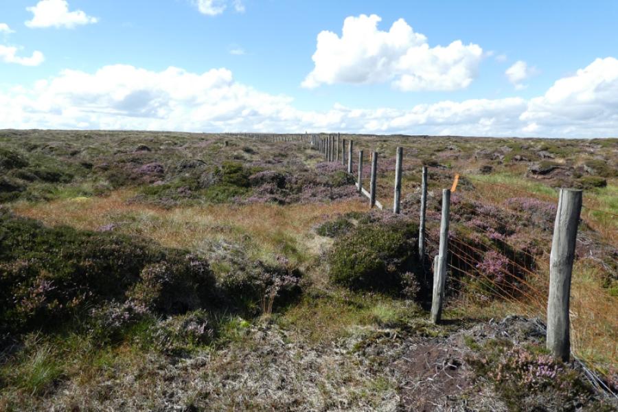
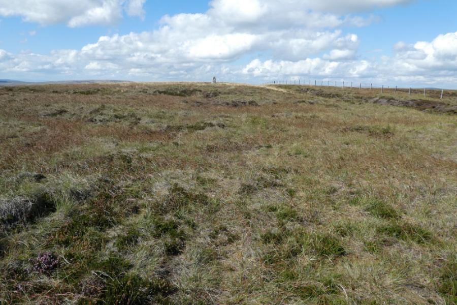
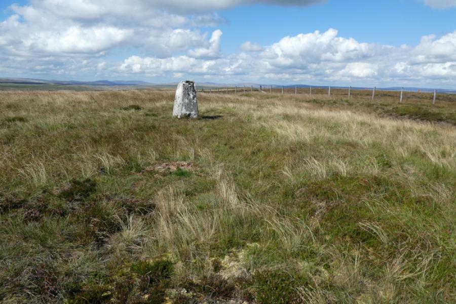
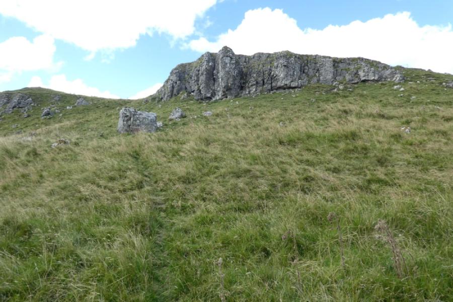
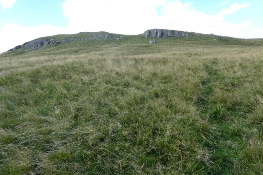
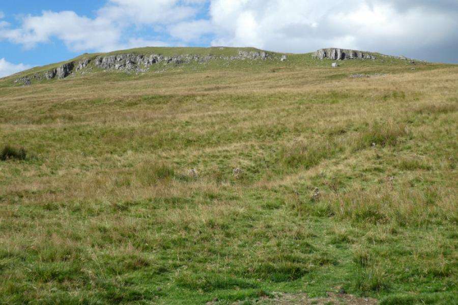
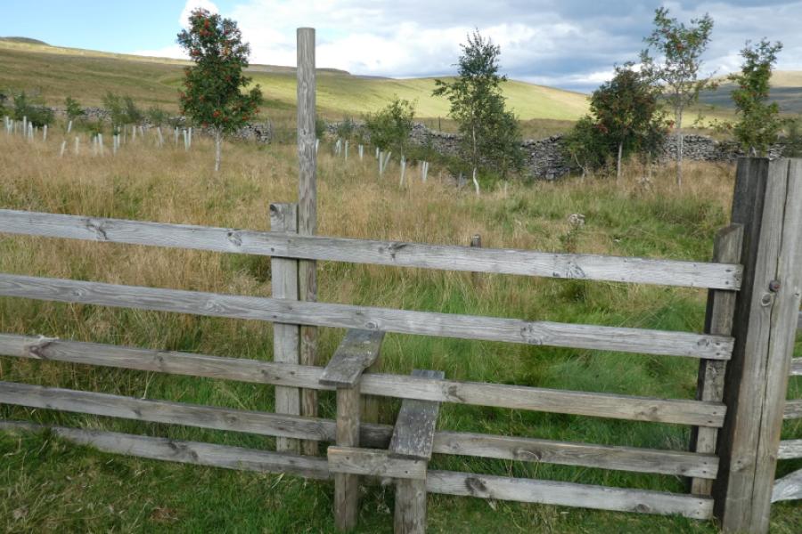
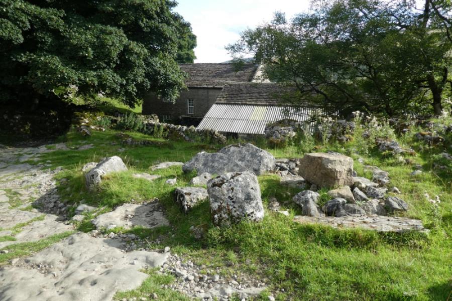
(1) Walk up the track at the side of the church signed for Scar House. After the first corner, ignore the path forking left for Yockenthwaite and continue up the track for about 1 km (steep in places) to reach Scar House. Follow the track around the left of the house or take the grass/path around the right. Both reach a very rough and stony track behind the house. Follow the track up past a sign post then continue up shadowing the wall on the left. Pass Knott Barn (set back on the other side of the wall) then go through the gate at the end of the wall. Follow a faint grassy track, heading for an obvious stream line heading uphill but best to stay roughly level until close to the stream which is fenced off and deep cut. Note some limestone crags further west as these will be passed on the return. Head uphill, shadowing the fence/wall by the stream, on whatever tracks or paths you can find. Higher up, the stream appears to disappear but is going underground and reappears a little higher and slightly to the west. Continue following the fence/wall. In clear weather, this will be seen disappearing over a brow on the ridge ahead. Follow the wall uphill until the ground starts to level out and the ground becomes peaty and heathery. This is dryish in summer but can be very boggy in wet seasons. The wall becomes a fence and meets another fence at a stile. Cross the stile but not the other fence and head left, west. The trig point is about 600 m away and will be seen in clear weather. A faint path weaves its way through the peat hags needing small detours in summer and lengthy ones in winter unless frozen. Reach the decaying trig point which has a few small stones at its best but no cairn and nowhere to sit but on the ground. This is Yockenthwaite Moor, 643 m. It is possible that the trig point may not be the actual highest point but if it isn't then it must be within 20 m and only inches higher. You may struggle to see any signs of civilisation from here.
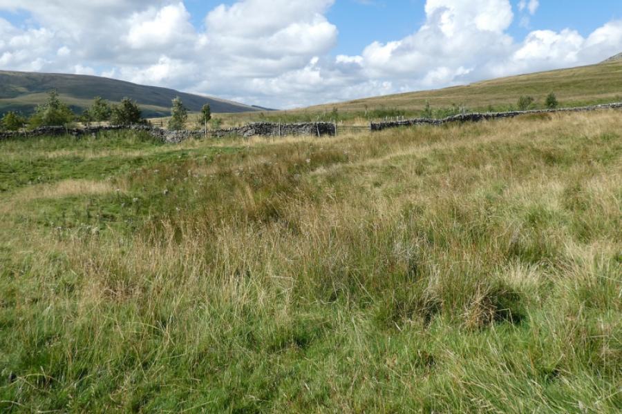
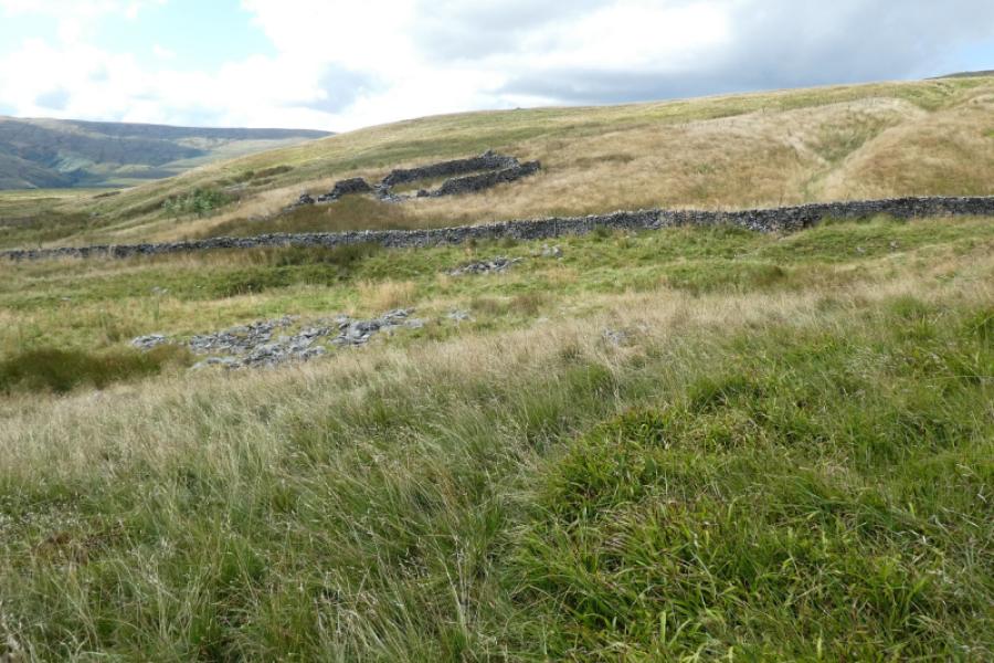
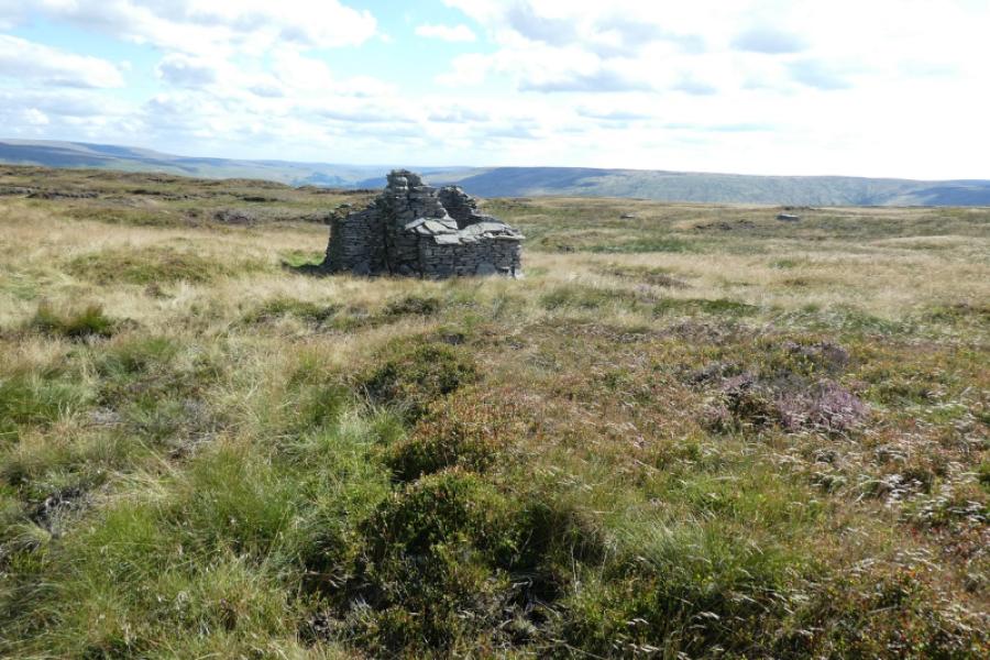
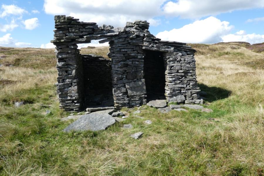
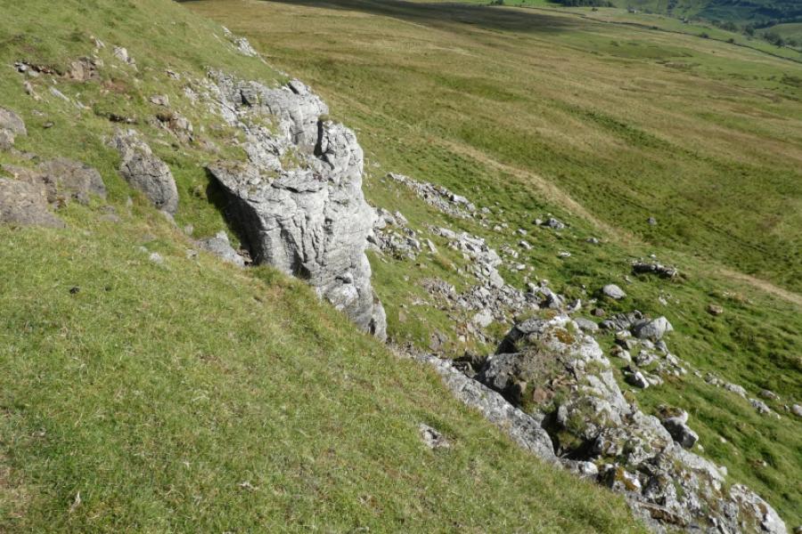
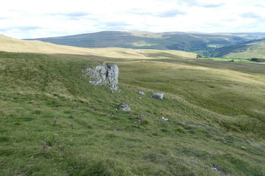
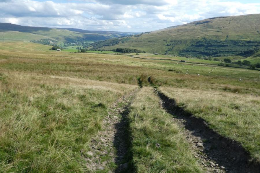
(2) Descend south over rough, pathless, peaty and boggy ground to reach a small ruin of an old stone hut (SD 909 809) presumably used by shepherds as it has a fireplace in it. The hut isn't obvious from a distance and some large flat boulders nearby may be more obvious. Continue roughly south using whatever paths and tracks you can find. If you come across an isolated footpath sign, it is sending you the wrong way! If anything, drift slightly left, east, of south. Keep descending, trying to avoid steeper ground to reach the top of the prominent but small limestone crags seen on the ascent. Walk along the top of them until they peter out then pick a way down, using occasional paths and tracks towards the obvious long wall below. Knott Barn may be seen from here in clear weather. It's fine to drift left as you head towards this wall. Once it is close, there is a fairly clear track going left. Follow this to reach a gate, After a short rough section, where the stream (the one followed uphill earlier) is easily crossed. You are now about where you started following the stream uphill earlier so head along faint paths and tracks to reach the gate which gives access to the track above Scar House then retrace back to Hubberholme.
Notes
(a) This walk took place on 1st September, 2022.
Photos - Hover over photo for caption. Click on to enlarge. Click on again to reduce.