Get Lost Mountaineering
You are here: England » Yorkshire Dales » Western Area
Ingleborough from Skirwith via White Scars & Little Ingleborough
Ingleborough from Skirwith via White Scars & Little Ingleborough
Start/Finish
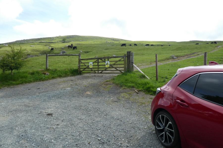
Park sensibly in the wide entrance to the gated field on the east side of the road at Skirwith. This is about 1 mile from the main car park in Ingleton. If there is no room to park sensibly then one will have to park nearer to Ingleton or further up the road towardsChapel-le-Dale.Ingleton is a large village on the A65 between Settle and Kirkby Lonsdale. There is a village community centre with parking and toilets which is well signed plus a fairly large overflow car park nearby. There is also some street parking available provided it is used sensibly.
Distance/Time
10 km About 4 hours
Peaks
Ingleborough, 724 m, SD 741 746. OL2 Yorkshire Dales: Western Area
Introduction
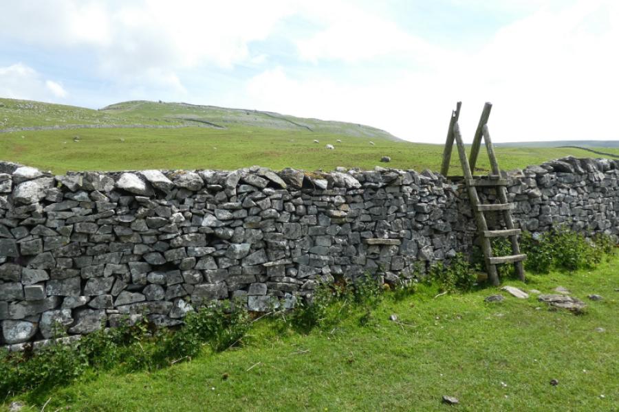
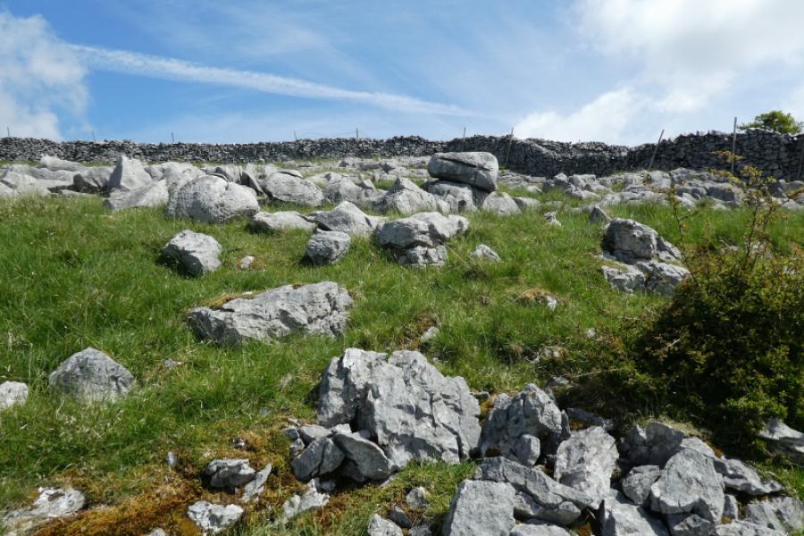
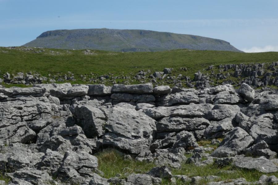
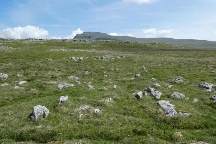
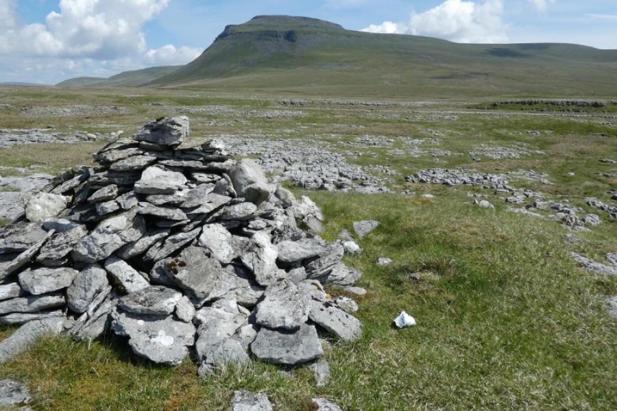
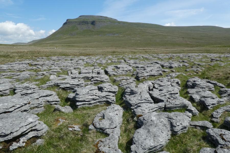
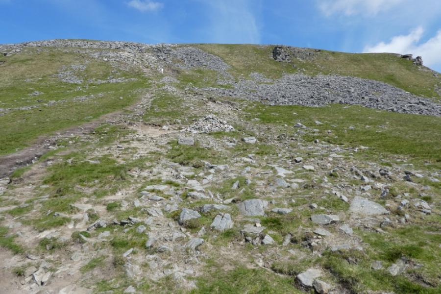
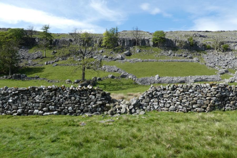
Ingleborough is one of the famous “3 Peaks” with Pen-y-Ghent and Whernside being the other two. This is a better route than just following the Fell Lane track from above Ingleton. Unfortunately, 2 drystone walls have to be climbed over although this may be avoided by using a gate well before the first wall. White Scars has several limestone pavements which give some of the best views of Ingleborough. The return from Little Ingleborough descends pathless but straightforward slopes. It is worth going to the edge of the summit plateau for good views to Whernside and the Ribblehead Viaduct.
Route
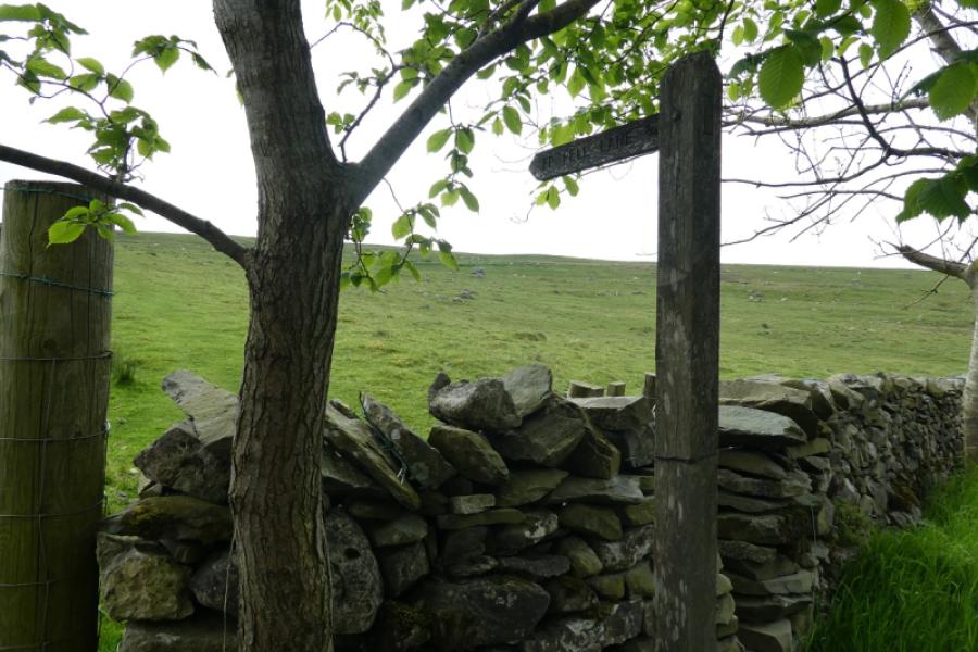
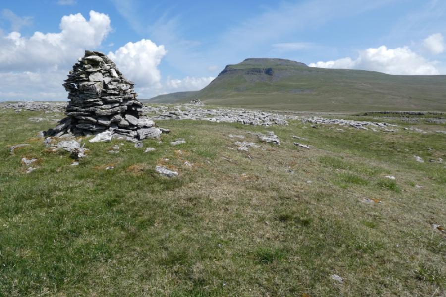
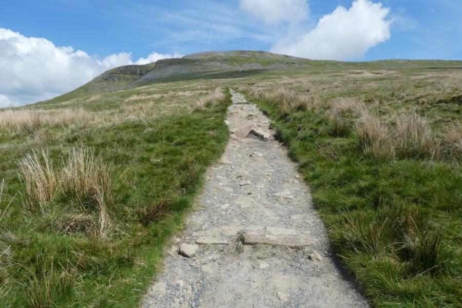
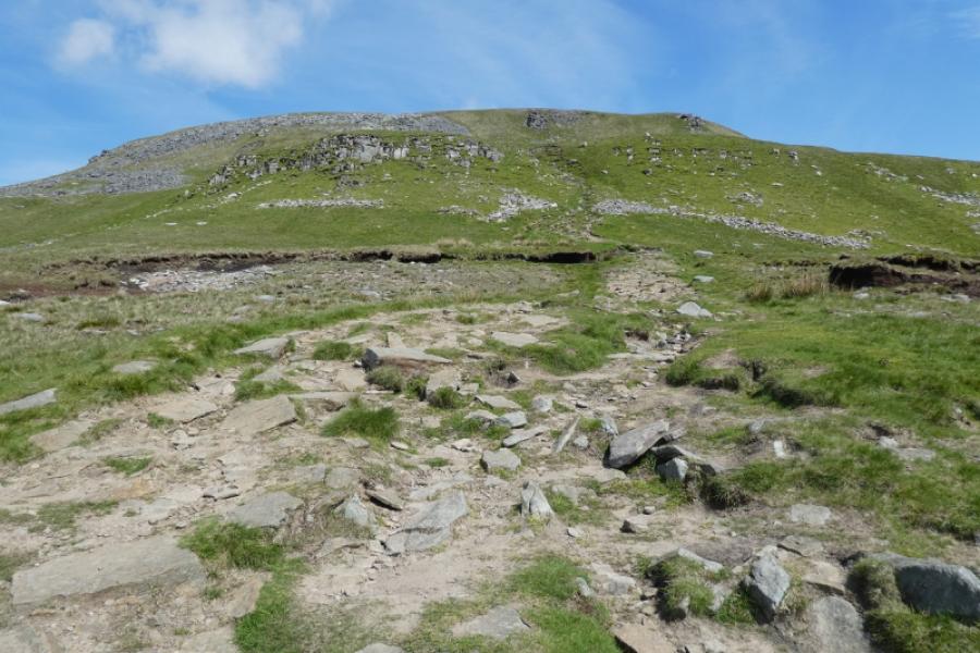
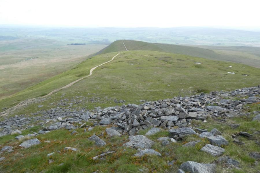
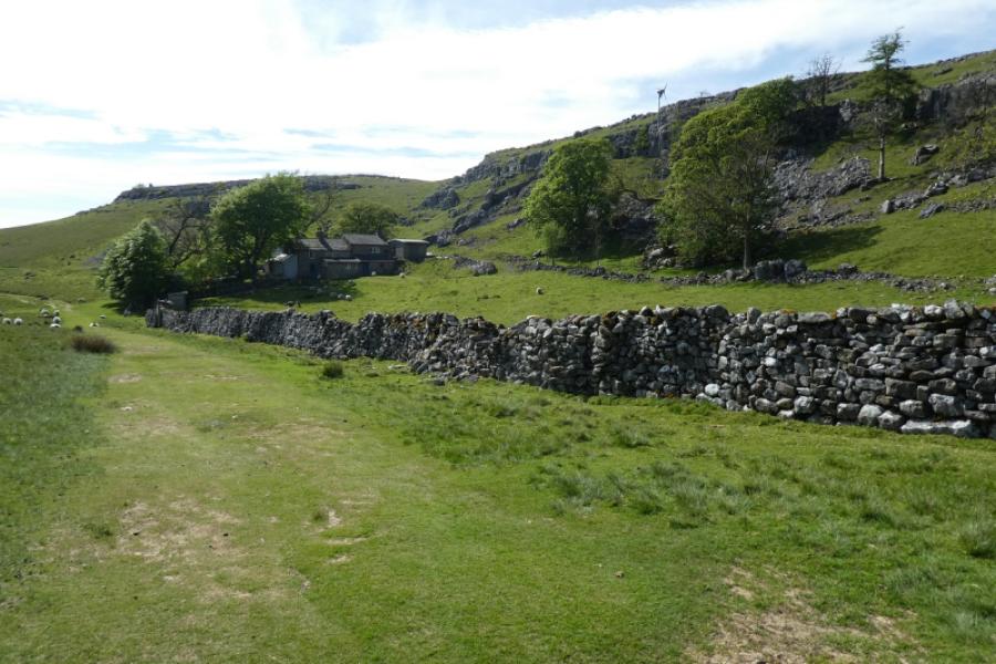
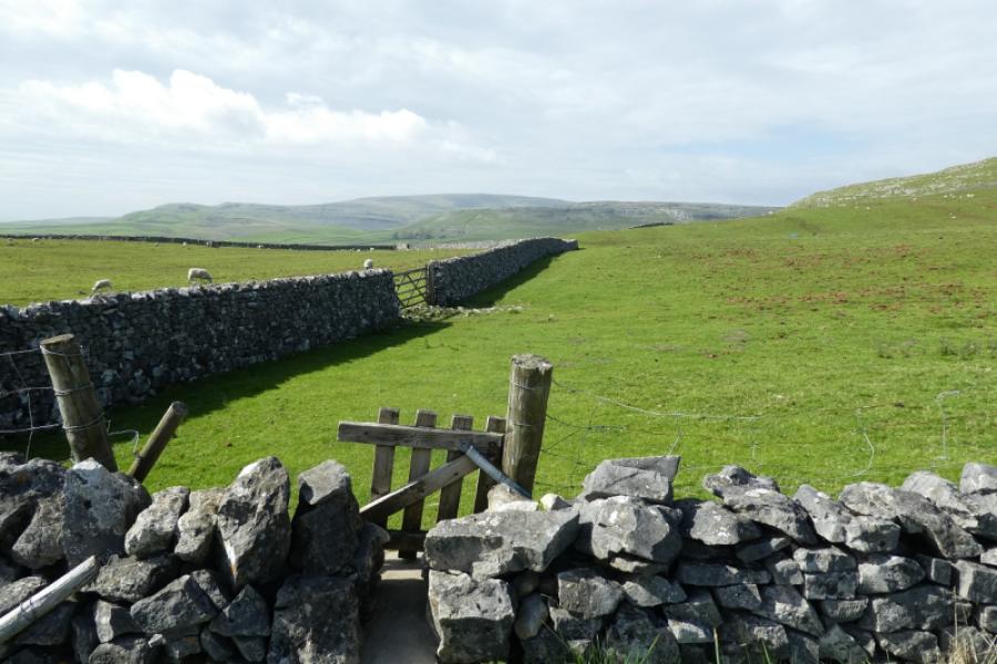
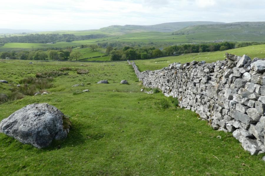
(1) Walk up the signed path from Skirwith the cross the stile higher up. Leave the path and head uphill. Look for a gate on the left to avoid climbing over the first wall ahead. Continue up, with ground becoming more rockier and climb over the second wall. (Those who wish to avoid climbing over wall should continue on the path to meet the Fell Lane track then turn left and follow it to a gate after which there are two benches. Leave the track and follow the wall up to the crest to reach where the second wall would have been climbed over. This detour adds about an extra km of walking.) Continue upwards, crossing several limestone pavements, and enjoying excellent views of Ingleborough. When the ground becomes more grassy, visit the two cairns then head roughly east to meet the Fell Lane track. Follow this uphill, steep in places.The final steep section leads onto the summit plateau and the nearby large cairn (wide but not that high) is the highest point on Ingleborough, 724 m. Almost directly ahead is the shelter cross and trig point plus other cairns. It is worth crossing to the edge of the plateau to see down the other side especially to Ribblehead Viaduct.
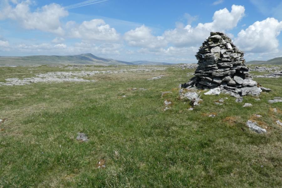
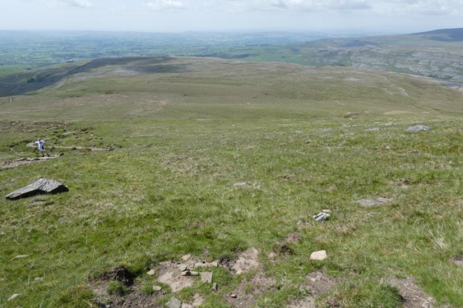
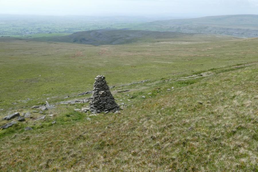
(2) Head anywhere between south and east then walk around the edge of the plateau until the obvious track can be seen going south below the broken crags. Follow the path to Little Ingleborough where there are several cairns.
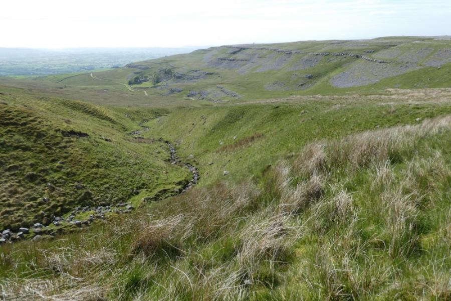
(3) Head roughly east down pathless slopes. Cross a grassy path near to a tall cairn and continue down. A river system starts to develop and it seems best to keep to the right of that so as to join the Fell Lane track below its steeper sections. Follow the track down, passing the farm in Crina Bottom. About 1.5 km further, go through a narrow gate on the right which is the path on the outward route and soon reach the start.
Notes
(a) This walk took place on 23rd May, 2023.
Photos - Hover over photo for caption. Click on to enlarge. Click on again to reduce.